

Confederation Nature Trail
View PhotosConfederation Nature Trail
Difficulty Rating:
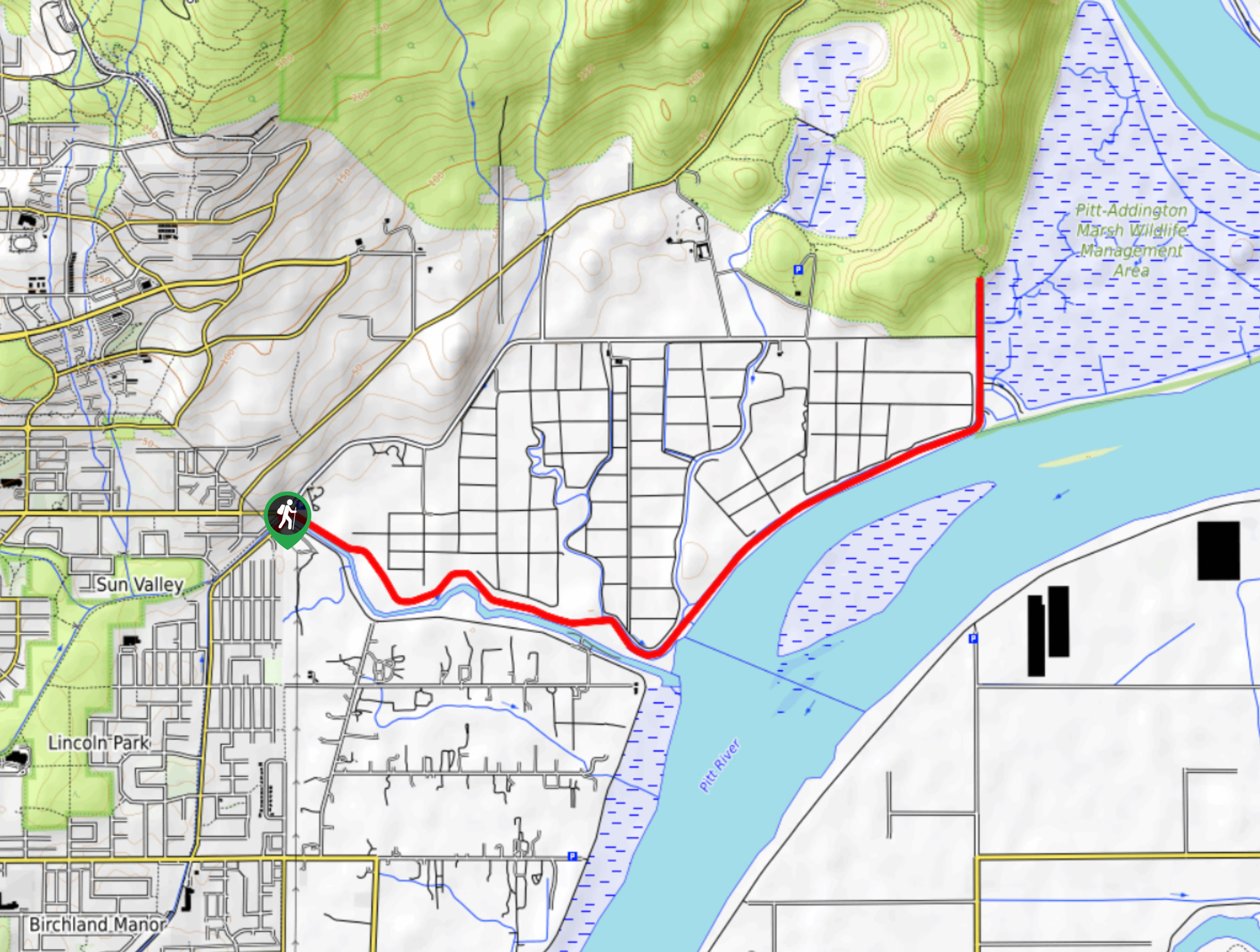
The Confederation Nature Trail is a short 1.0mi loop with some minor elevation changes and several bridged creek crossings. This route is perfect for a short walk through the woods and the dense tree cover makes it a great option for families exploring with young children. Primarily used by dog walkers as an off-leash park, there are also some nice views along the north side of the park that look out over the waters of the Burrard Inlet.
Getting there
To get to the trailhead for the Confederation Nature Trail from Vancouver, drive east on E Hastings Street and turn left onto Willingdon Avenue. After 1640ft, make a right turn onto Penzance Drive and the parking lot will be on your left in 623ft.
About
| When to do | Year-Round |
| Backcountry Campsites | No |
| Pets allowed | Yes |
| Family friendly | Yes |
| Route Signage | Average |
| Crowd Levels | Low |
| Route Type | Circuit |
Confederation Nature Trail
Elevation Graph
Weather
Confederation Nature Trail Description
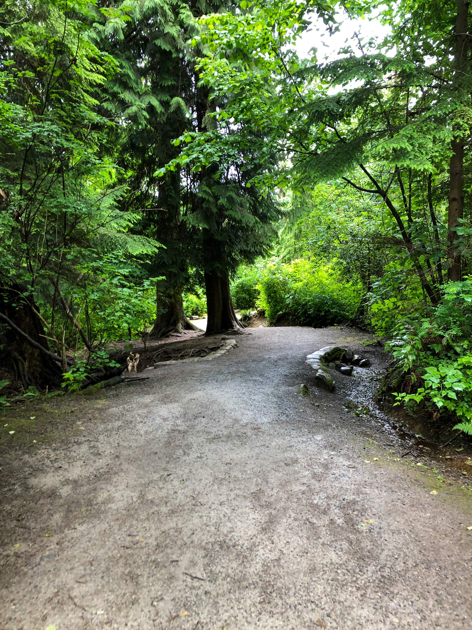
The Confederation Nature Trail is an easy walk through the woods that features some minor changes in elevation. Because of this, hikers should be aware that the downhill portions of the trail can become fairly slippery when wet. Make sure to have footwear with a good tread to better manage on the terrain.
This trail runs through a lovely forested park that is perfect for letting your dogs run off-leash to explore. The small size of the park and simple trail network eliminates any chance of getting lost if you need to go tramping through the trees after your pup. The scenic views of the Burrard Inlet are a nice bonus, and there is even a small beach on the other side of the railway tracks if you feel like spending some time down by the water.
Setting out from the parking area next to the Burnaby Central Railway Hub, head north along the trail as it enters into the dense tree cover. The majority of the hike will be heavily forested like this, keeping you cool and protected from the sun. Keep right at the junction in the trail, and you will soon cross over a small bridge that spans Rainbow Creek.
Keep straight along the forested trail for 656ft, where you will reach a clearing in the tree cover. Continue along the path and enter back into the forest, passing through the next two trail junctions to reach a small viewpoint over the waters of the Burrard Inlet. Spend a few moments watching the ships glide effortlessly over the water in front of a picturesque mountain backdrop. After taking in the sights, backtrack along the trail and take the first path to your left.
Make your way over the creek crossing and follow the Confederation Nature Trail, as it meanders next to the railway tracks. Here, the trail will veer to the right and continue south as it passes along the eastern edge of the park. In 1148ft, you will get to another junction with the Trans Canada Trail. Take this to the right to skirt alongside Penzance Drive, as you make your way back to the parking lot having traversed the Confederation Nature Trail.
Insider Hints
Beyond the viewpoint, there is a beach area next to the Burrard Inlet. There is no official trail to get to the beach, so hikers should take extreme caution if attempting to cross the railway tracks.
Downhill portions of the trail can be slippery in wet weather.
Bring bug spray, as the shaded trail can be a bit buggy at times.
Similar hikes to the Confederation Nature Trail hike

Trans Canada and Pandora Trail Loop
The Trans Canada and Pandora Trail Loop is a combination of several trails within the Burnaby Mountain Conservation Area that…

DeBoville Slough to Addington Lookout
The hike along DeBoville Slough to Addington Marsh is an easy 6.0mi out-and-back trail along a paved path…

Port Moody Shoreline Trail
The Port Moody Shoreline Trail is a 3.6mi out-and-back route that follows along the beautiful waters of the…


Comments