

Buntzen Lake Loop
View PhotosBuntzen Lake Loop
Difficulty Rating:
The Buntzen Lake Loop is a 7.5mi trail around the shores of Buntzen Lake that passes through beautiful forests and over scenic bridges. Better known now for recreational use than its history producing hydroelectricity, the lake is home to a network of trails and several beaches, offering outdoor enthusiasts several options to get out and enjoy nature. Access to the park is limited, so make sure you get there nice and early to beat the crowds.
Getting there
To get to the trailhead at Buntzen Lake from Coquitlam, travel west on the Barnet Highway/BC-7A and take the exit for Lansdowne Drive. Follow Lansdowne Drive for 1.2mi, making a left turn onto Honeysuckle Lane. After 2461ft, make a right turn onto Noons Creek Drive and a quick left onto David Avenue. Continue on David Avenue for 0.7mi, turning right onto Forest Park Way. Make the first left onto Aspenwood Drive and follow for 1.6mi as it turns into E Road. Turn right onto Sunnyside Road and follow it for 1.7mi, where the parking area will be on your left.
About
| When to do | Year-Round |
| Backcountry Campsites | No |
| Pets allowed | Yes - On Leash |
| Family friendly | Older Children only |
| Route Signage | Average |
| Crowd Levels | High |
| Route Type | Circuit |
Buntzen Lake Loop
Elevation Graph
Weather
Buntzen Lake Loop Description
The Buntzen Lake Loop is a highly-trafficked trail located near the town of Anmore, BC, that is easily accessible year-round. Due to the lake’s popularity as a recreational area, it is best to arrive early to access the park. Although there are 600 parking spaces available, these fill up quickly, and Buntzen Lake Reservoir Park officials will restrict access to the area once they are occupied.
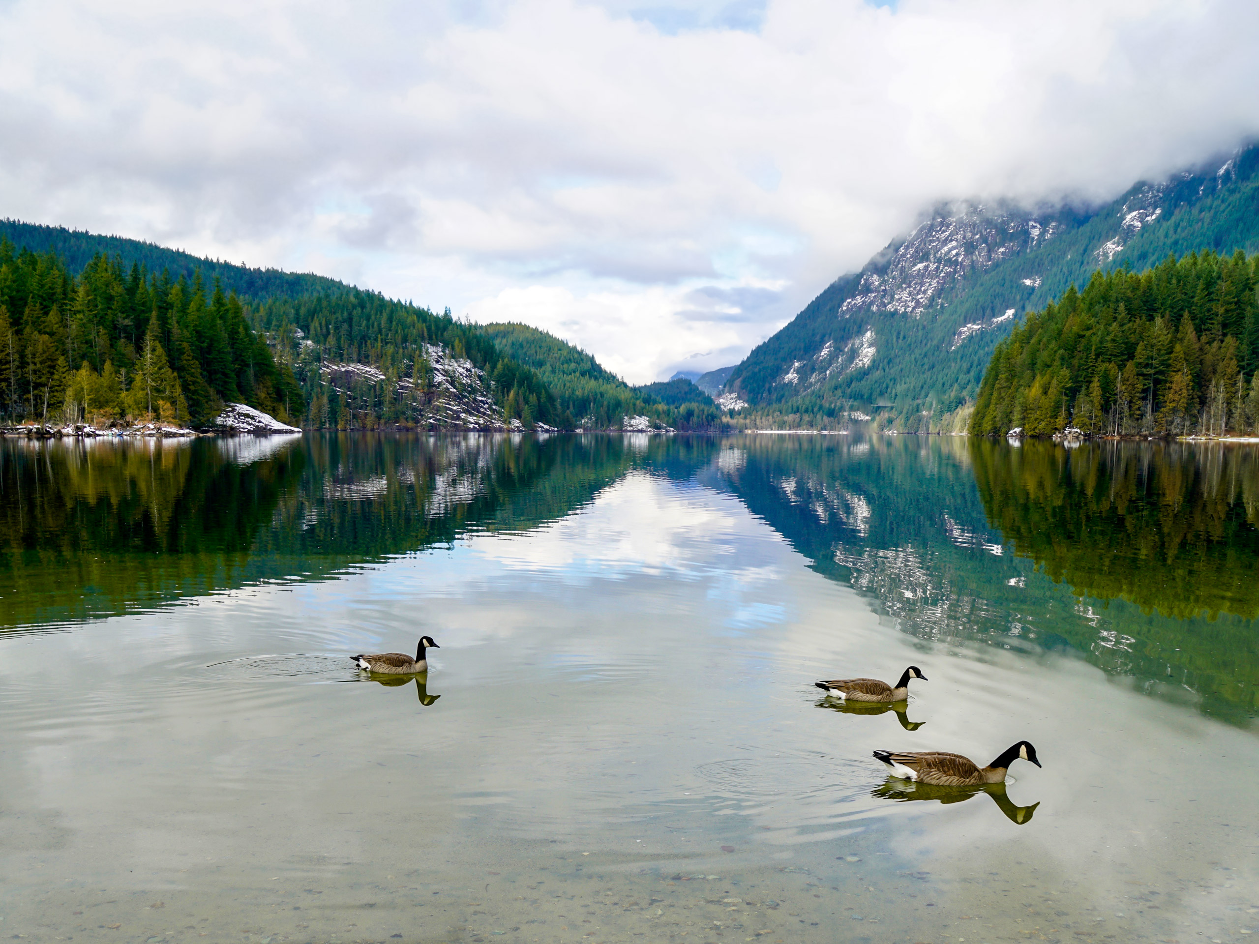
Long-used to generate hydroelectric power for the Vancouver area, Buntzen Lake is much better known now for its usage as a recreation area. This is due to a strong network of hiking, running, and equestrian trails, and the lake itself, which is popular for fishing and swimming activities. The lake is also home to the Buntzen Lake Suspension Bridge on its north end, from which you can catch some stunning views of the lake as it stretches to the south. This is a great hike with access to a day’s worth of outdoor activities; just don’t forget to bring the snacks!
Setting out from the northeast corner of the parking lot off Sunnyside Road, follow the trail north as it heads into the trees and follows closely alongside Buntzen Creek before reaching the lake. Keep following the trail for 2297ft, crossing over two streams before hitting a quick series of junctions in the trail. Make a left at both of these to reach the first viewpoint on the trail, which offers beautiful views of the southern portion of the lake.
Working your way back to the main trail, follow the path left to continue on the Buntzen Lake Trail as you work your way around the lake in a counterclockwise direction. This eastern portion of the hike will largely take place within tree cover, with a few chances to catch a glimpse of the lake through the trees.
About 1.6mi from the junction, you will exit the forest along the Lakeview Trail as it winds past North Beach and makes its way toward the Buntzen Lake Suspension Bridge. Here you will need to cross over the swaying expanse of the 164ft long bridge that spans the canal between the Buntzen and McCombe lakes. Take a few moments to soak in the stunning views of Buntzen Lake stretching out before you to the south, while suspended over the flowing waters below.
After crossing the bridge, continue on the trail for 1312ft, keeping left at the junction, before reaching a vantage point from atop a rocky outcrop. From here, you will be able to see North Beach across the lake, as well as the tunnel that acts as a waterway connecting Buntzen and Coquitlam lakes.
Returning to the trail, follow it left to continue along the western side of the lake. This part of the trail is fairly rocky, so watch your footing as you make your way past the electrical tower and back into the tree cover. From here, there will be a series of elevation gains and drops, crossing over a few small wooden bridges, before you will reach a gate near the pump house used by BC Hydro to generate electricity.
Pass through the gate and out onto the gravel access road, following it along the southern portion of Buntzen Lake for 0.7mi, where you will come up on a floating bridge that spans the southern tip of the lake. Make your way across the bridge, picking the trail back up when you get to the other side. Follow the first junction to the left as you make your way through the final forested section of the hike. When you get to the junction with Energy Trail, follow the path to the right to return to the parking lot.
Although it is not overly difficult, the Buntzen Lake Loop is a lengthy half-day hike that will allow hikers to access the many other activities in the area. Head to any one of the beaches to cool off with a swim, cast a few fishing lines off the dock, or spread out a blanket and enjoy a nice picnic out in the sun.
Hiking Route Highlights
Buntzen Lake
Previously known as Lake Beautiful, Buntzen Lake has been producing hydroelectric energy for the Vancouver area since 1904. Although it is now better known for its recreational uses, this 3.0mi lake still generates 0.4% of BC Hydro’s power supply.
Buntzen Lake Suspension Bridge
This 164ft long bridge spans a canal between the Buntzen and McCombe lakes and was first opened on June 5, 1992. Walking across the swaying bridge, hikers will have a beautifully scenic view that stretches south over the lake.
Frequently Asked Questions
Can you swim in Buntzen Lake?
Buntzen lake is open to the public for swimming. A large reservoir lake, Buntzen will have cooler temperatures than the nearby, smaller Sasamat Lake.
Insider Hints
Arrive early as the area around the lake can be extremely busy. Even though there are 600 parking spaces, these quickly fill up and access to the lake will be restricted for safety purposes.
Hours of operation for the Buntzen Lake recreation area vary seasonally. Check this link for a list of opening and closing times.
This is a one-way trail. Follow the posted trail markers that follow around the lake in a counterclockwise direction.
Trail can become quite wet. Make sure to wear proper footwear.
Similar hikes to the Buntzen Lake Loop hike

Trans Canada and Pandora Trail Loop
The Trans Canada and Pandora Trail Loop is a combination of several trails within the Burnaby Mountain Conservation Area that…

Quarry Trail
The Quarry Trail is a scenic hike through the beautiful wetlands of Minnekhada Regional Park that takes hikers to several…

DeBoville Slough to Addington Lookout
The hike along DeBoville Slough to Addington Marsh is an easy 6.0mi out-and-back trail along a paved path…


Comments