

Burnaby Lake Loop
View PhotosBurnaby Lake Loop
Difficulty Rating:
The Burnaby Lake Loop is a great day hike for those looking to lose the feeling of being in the city without actually leaving it. Although it is a 6.2mi hike, the minimal changes in elevation mean that this is an easy trail that the whole family will enjoy. After your hike, enjoy watching the wildlife while walking the boardwalk out to Piper’s Spit, or observe the teams of rowers as they pace alongside the Burnaby Lake Rowing Pavilion.
Getting there
To get to the Burnaby Lake Loop trailhead from Vancouver, follow Trans Canada Highway/BC-1 East and take exit 32 for Sprott Street. Turn left onto Kensington Avenue and follow for 0.6mi . Make a slight right toward the ramp for BC-7 East/Lougheed Highway and turn right onto Sparling Avenue. Continue onto Winston Street for 1.6mi before turning right onto Piper Street. The parking lot will be on the left side.
About
| When to do | Year-Round |
| Backcountry Campsites | No |
| Pets allowed | Yes - On Leash |
| Family friendly | Yes |
| Route Signage | Average |
| Crowd Levels | Moderate |
| Route Type | Circuit |
Burnaby Lake Loop
Elevation Graph
Weather
Burnaby Lake Trail Description
The Burnaby Lake Loop is an easy trail with minimal changes in elevation. If you are looking for an intense workout or to scramble up a mountain peak to catch a stunning view, this may not be the hike for you. On the other hand, this trail does offer a chance to explore the lakeside habitat of a variety of wildlife species, making it a great day hike option for families or nature lovers.
While there are several access points to reach the trail that loops around Burnaby Lake, this route will begin at the Burnaby Lake Nature House at the end of Piper Avenue. To reach the trailhead from the parking lot, head south down Piper Avenue until you get to the Burnaby Lakes Nature House on your right-hand side. The trailhead will be straight in front of you.
Heading south on the trail, you will very quickly reach the first junction. Follow the path to the left and cross the bridge that spans Eagle Creek. As you continue walking along Burnaby Lake’s north shore, you will notice several side trails on your left side. You can follow these trails to slightly extend your hike’s length or continue heading East along the main trail that begins to skirt along the banks of the Brunette River.
As the trail converges with the river, you will come upon the Cariboo Dam. Cross the dam onto the other side of the Brunette River and follow the path to the right to continue along the South edge of the Lake.
As you pass by the gravel parking lot, you will quickly reach a junction with the Avalon Trail, a wide horse path. Follow the Avalon trail to the right, and continue on as you pass the Burnaby Equestrian Centre and its many horseback riding trails on your left. Follow this trail for 2133ft through a mixed forest section, and you will see the Southshore Trail on your right. Take this path to trace along the south shore of the lake, walking along the boardwalks that span several sections of this swampy part of the trail.
Moving along the South Shore Trail for 2.2mi , you will pass by the Wildlife Rescue Association of BC on your left before reaching the end of this trail at the parking lot for the Burnaby Lake Rowing Pavilion. Due to the amount of overgrown vegetation in the area, large scale rowing events are no longer held here; however, the Burnaby Lake Rowing Pavilion has a history of hosting high-profile events, including the 1973 Canada Summer Games.
From the South Shore Trailhead, cross Roberts street and continue north along the trail for 1476ft through a wooded area until you reach a trail junction shortly before Thomas Street. Take the path to the right and continue along the trail, which runs parallel to the street, before veering left and crossing a ditch. Upon crossing the ditch, you will immediately reach Thomas Street. Cross the street and turn right, following it for 50m where the Pavilion Trail will resume on your left.
Follow the Pavillion Trail as it hugs the banks of Still Creek, and after 1969ft you will reach a junction at a section of forest. Follow this path to the right, eventually crossing the bridge that spans Still Creek on your right side. From the bridge, you can see some of the diverse wildlife around Burnaby Lake, including beavers that like to forage and swim in the calm waters. 200m after the bridge, turn right at the junction to continue back along Burnaby Lake’s north shore.
This final 1.6mi stretch of the hike follows the railroad tracks on the left and Burnaby Lake on your right. As you approach the starting point of the hike at the Burnaby Lake Nature House, you will have two paths on your right that offer great vantage points of the lake and an opportunity to experience its wildlife.
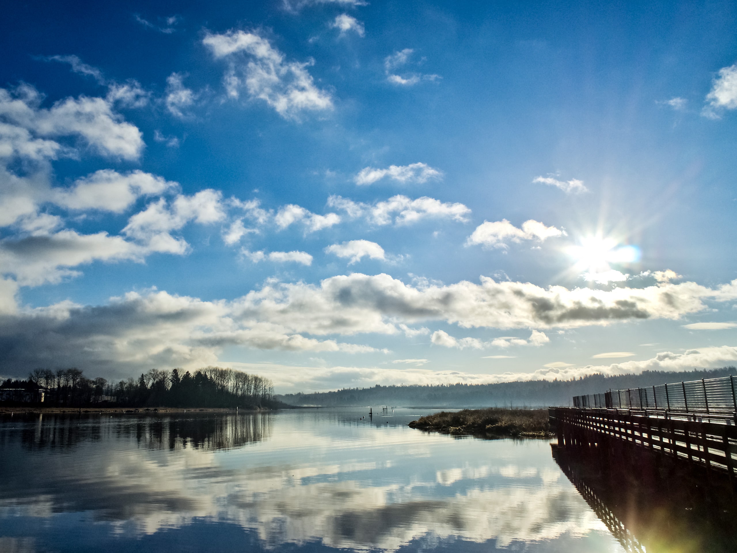
The first is a short path that leads to a wooden observation tower, where you can take in some elevated views of the lake and surrounding area. The second path leads you out to Piper’s Spit; a wooden boardwalk that juts out into the lake and offers nature enthusiasts the opportunity to watch the various species of ducks and geese that inhabit the area.
Take some time after you complete the hike to have a quick lunch and enjoy the lakeside wildlife before heading north up the trail to Piper’s Avenue and back to the parking lot.
Frequently Asked Questions
Can you swim in Burnaby Lake?
You can canoe or kayak in the lake, and have a picnic on the shore, but no swimming is permitted.
What is there to do at Burnaby Lake?
You can view the lake from your canoe or kayak to get an up-close look at the busy beavers, diving ducks and turtles feeding in the marsh. Burnaby Lake has a rowing course suitable for canoeing, kayaking and rowing training. The rowing pavilion at Burnaby Lake Sports Complex has change rooms and a public canoe launch.
Insider Hints
Washroom facilities can be found at several points around the lake, including: the west end near the sports fields, at the end of Glencairn Rd, near the Brunette River Dam crossing, and at the Burnaby Lake Nature House.
Dogs are allowed on the trail, but must be kept on a leash.
The area surrounding the lake is home to a wide variety of wildlife species. Be mindful of their habitat while in the park.
Make sure to bring bug spray, as there can be a lot of mosquitos due to the trail’s proximity to water.
Similar hikes to the Burnaby Lake Loop hike

Trans Canada and Pandora Trail Loop
The Trans Canada and Pandora Trail Loop is a combination of several trails within the Burnaby Mountain Conservation Area that…

Quarry Trail
The Quarry Trail is a scenic hike through the beautiful wetlands of Minnekhada Regional Park that takes hikers to several…

DeBoville Slough to Addington Lookout
The hike along DeBoville Slough to Addington Marsh is an easy 6.0mi out-and-back trail along a paved path…


Comments