

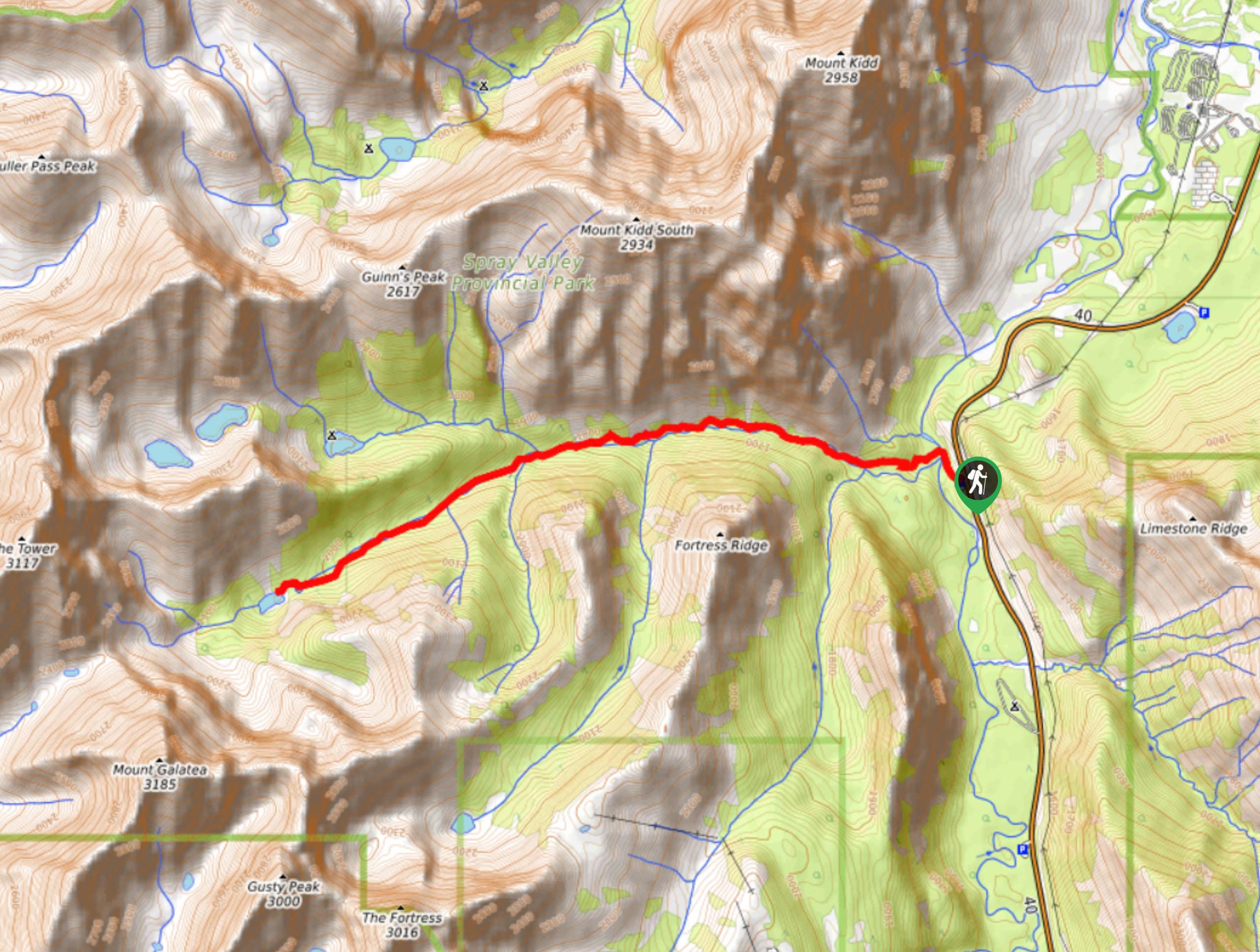
Lost Lake Hike
View PhotosLost Lake Hike
Difficulty Rating:
Hiking to Lost Lake begins on a very popular trail that leads to Lillian and Galatea Lakes. The trail becomes quite primitive once you depart the main trail, but it leads to a place of solitude and beauty. Be prepared to encounter down trees and other obstacles on this route.
Getting there
Take Highway 40 southbound for 19.9mi before turning right into the Galatea day-use area.
About
| When to do | June-September |
| Backcountry Campsites | Lillian Lake |
| Pets allowed | Yes - On Leash |
| Family friendly | No |
| Route Signage | Average |
| Crowd Levels | High |
| Route Type | Out and back |
Lost Lake Hike
Elevation Graph
Weather
Lost Lake Hike Description
The Lost Lake Hike in Alberta’s Kananaskis region, begins from the parking lot where you will join the main trail to Lillian and Galatea Lakes for the first 2.5mi of your trek. At this point, the main trail leads off to the right and you will follow a very faint and decommissioned trail marked with a cairn on the left. This is an old trapline used historically by Alvin Guinn that has been decommissioned for many decades. A historic hunting cabin belonging to Mr. Guinn exists along the trail and makes for an interesting landmark.
The trail is rough and rarely visited, with many down trees and other obstacles. Be sure to have a good idea of your route and a GPS track to stay on the trail. There are many animal paths and side trails leading to obscure peaks in the area. Reach the lake after a small climb and take in the beauty of this lake that has been quite literally lost.
Similar hikes to the Lost Lake Hike hike
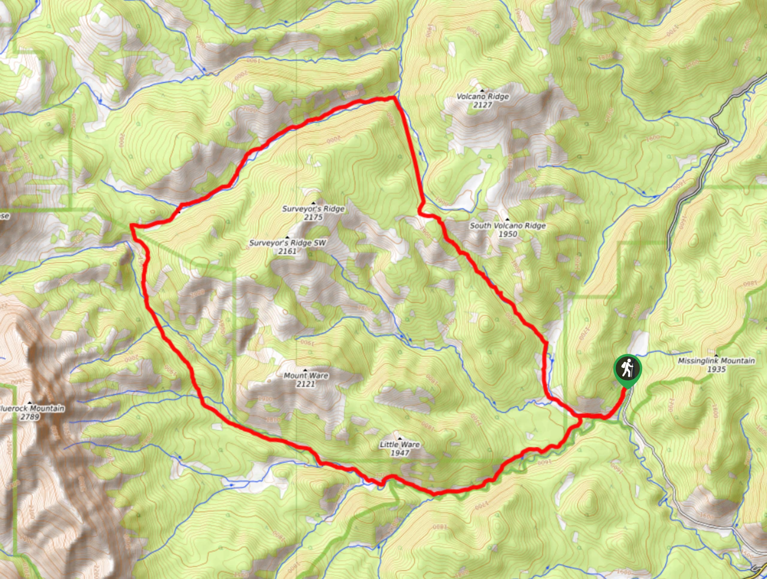
Gorge Creek Loop
Hiking the Gorge Creek Loop requires some route knowledge and a bit of extra effort as it is not as…
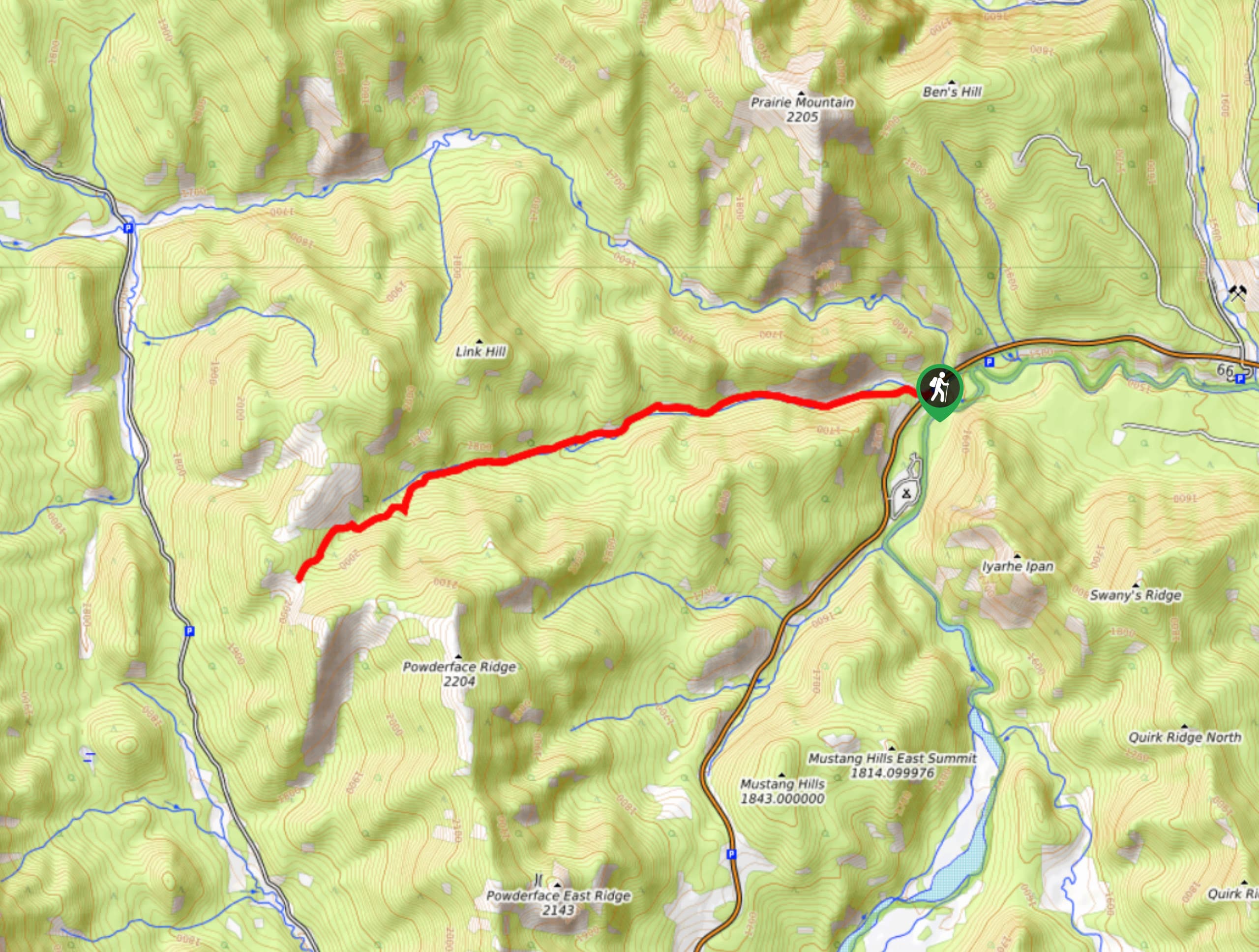
Powderface Creek Trail
The Powderface Creek trail in Kananaskis is a popular hiking, biking, and horseback trail, so be aware of traffic when…
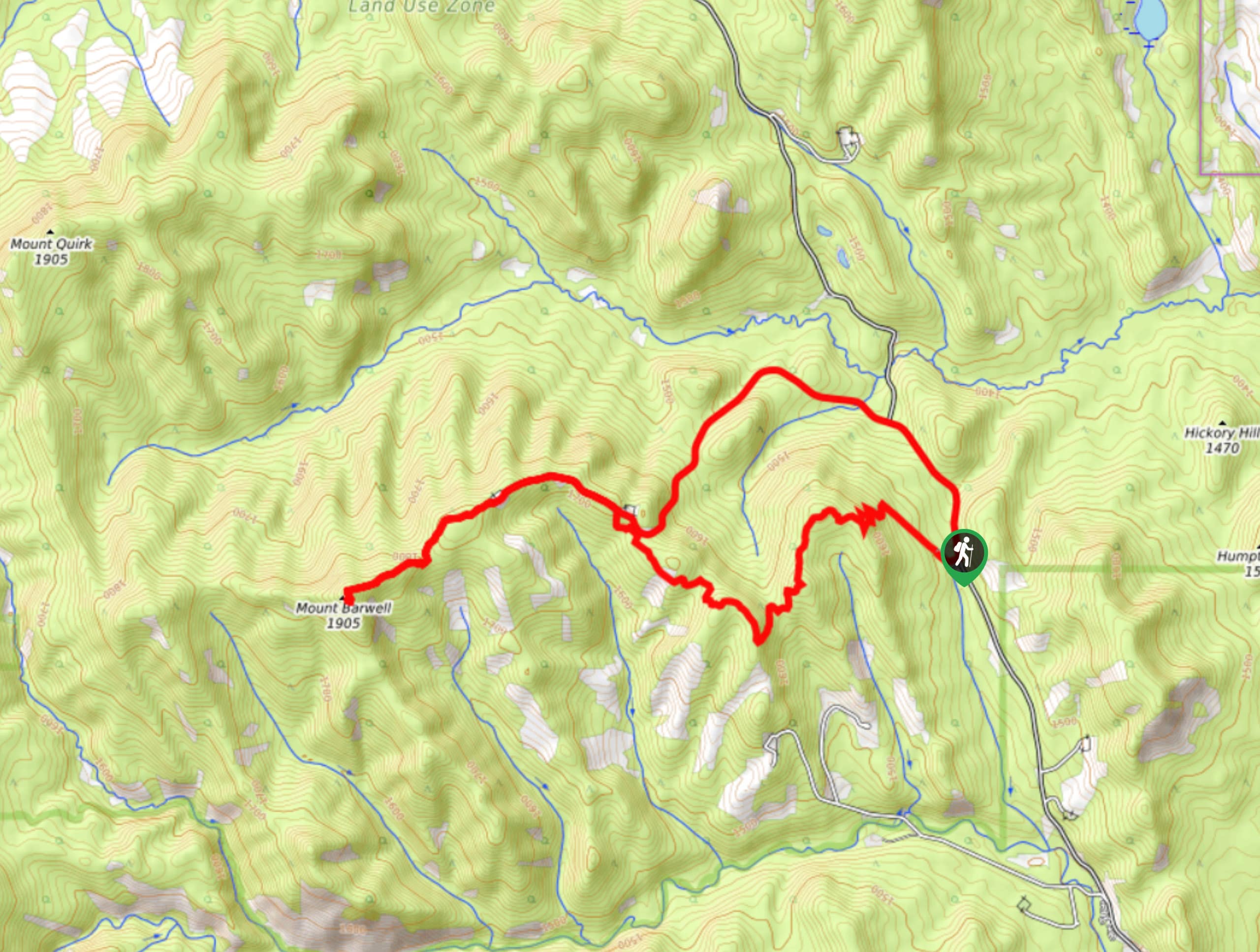
Barwell Trail
Hiking the Mount Barwell Trail is a half to full day effort that is very rewarding. With minimal crowds and…


Comments