


Kananaskis Fire Lookout Trail
View PhotosKananaskis Fire Lookout Trail
Difficulty Rating:
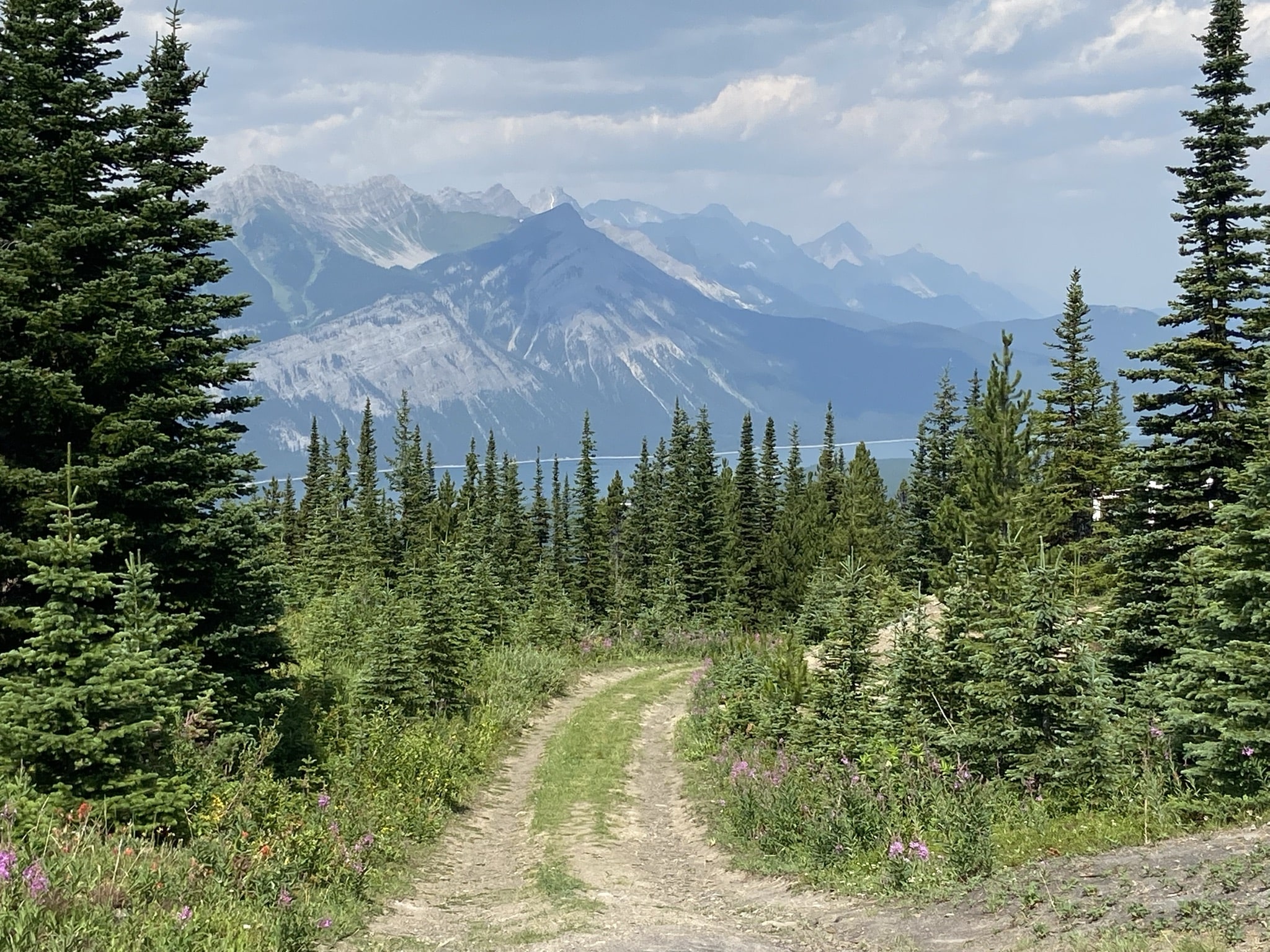
The trail to the Kananaskis Fire Lookout follows the Mount Tyrwhitt trail up an old decommissioned fire road to the fire lookout. The trail has no technical sections and follows a wide open trail to the destination. For such a short hike, the views are excellent and there is a great chance you might spot some wildlife, so bring your bear spray!
Getting there
Follow Highway 40 from the junction with the Trans Canada Highway for 35.4mi before pulling over next to Pocaterra Creek.
About
| When to do | Mid-June-September |
| Backcountry Campsites | No |
| Pets allowed | Yes - On Leash |
| Family friendly | Older Children only |
| Route Signage | Average |
| Crowd Levels | Moderate |
| Route Type | Out and back |
Kananaskis Fire Lookout Trail
Elevation Graph
Weather
Kananaskis Fire Lookout Trail Description
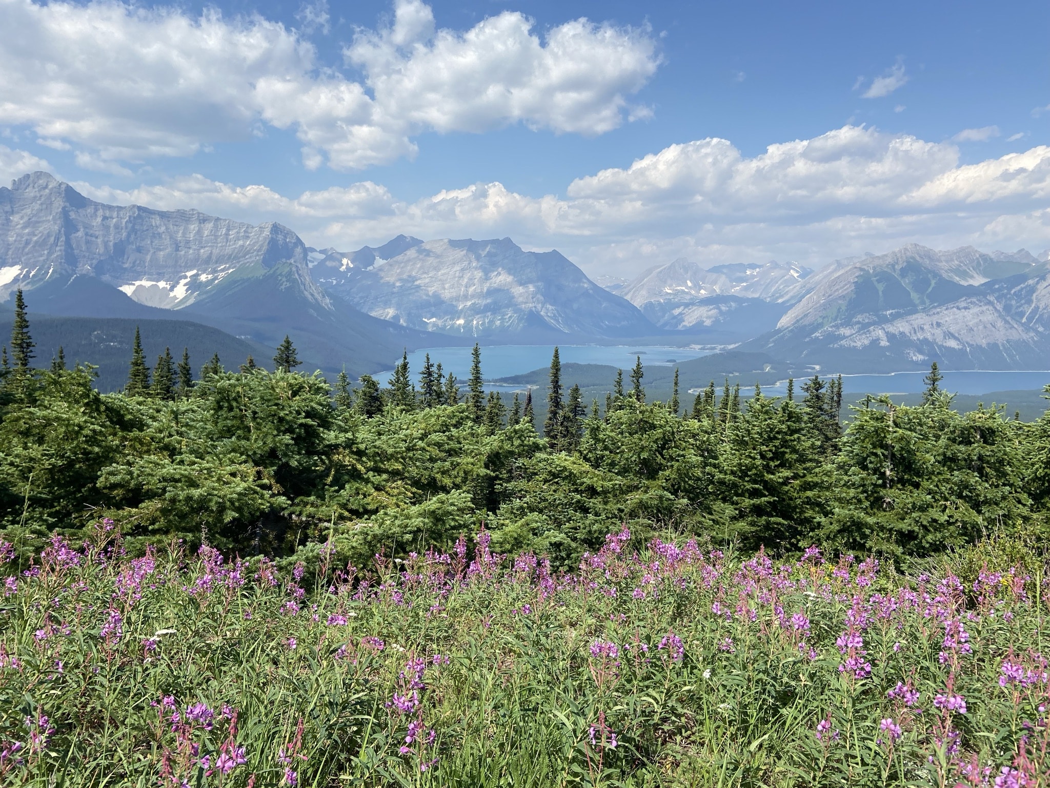
Find the decommissioned fire road from the pullout and make your way to the trail. You won’t have a hard time following the trail once you are on it. It is a clearl, wide old road that leads directly to the fire lookout. Once at the lookout, you’ll be able to see over the highpoint to Lower Kananaskis Lake. This incredible viewpoint is an excellent vantage point for sightseeing. It also makes a great picnic spot!
Similar hikes to the Kananaskis Fire Lookout Trail hike
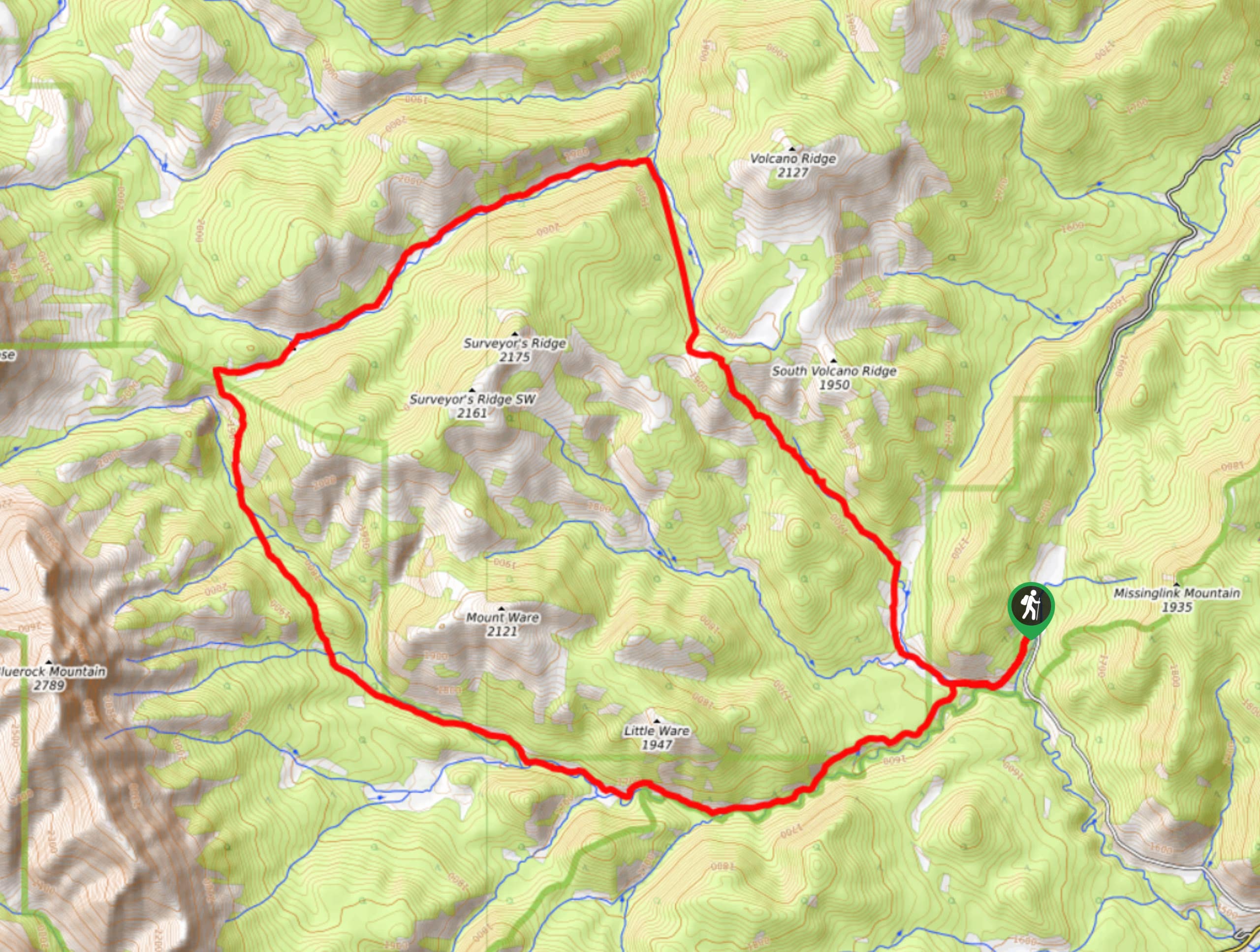
Gorge Creek Loop
Hiking the Gorge Creek Loop requires some route knowledge and a bit of extra effort as it is not as…
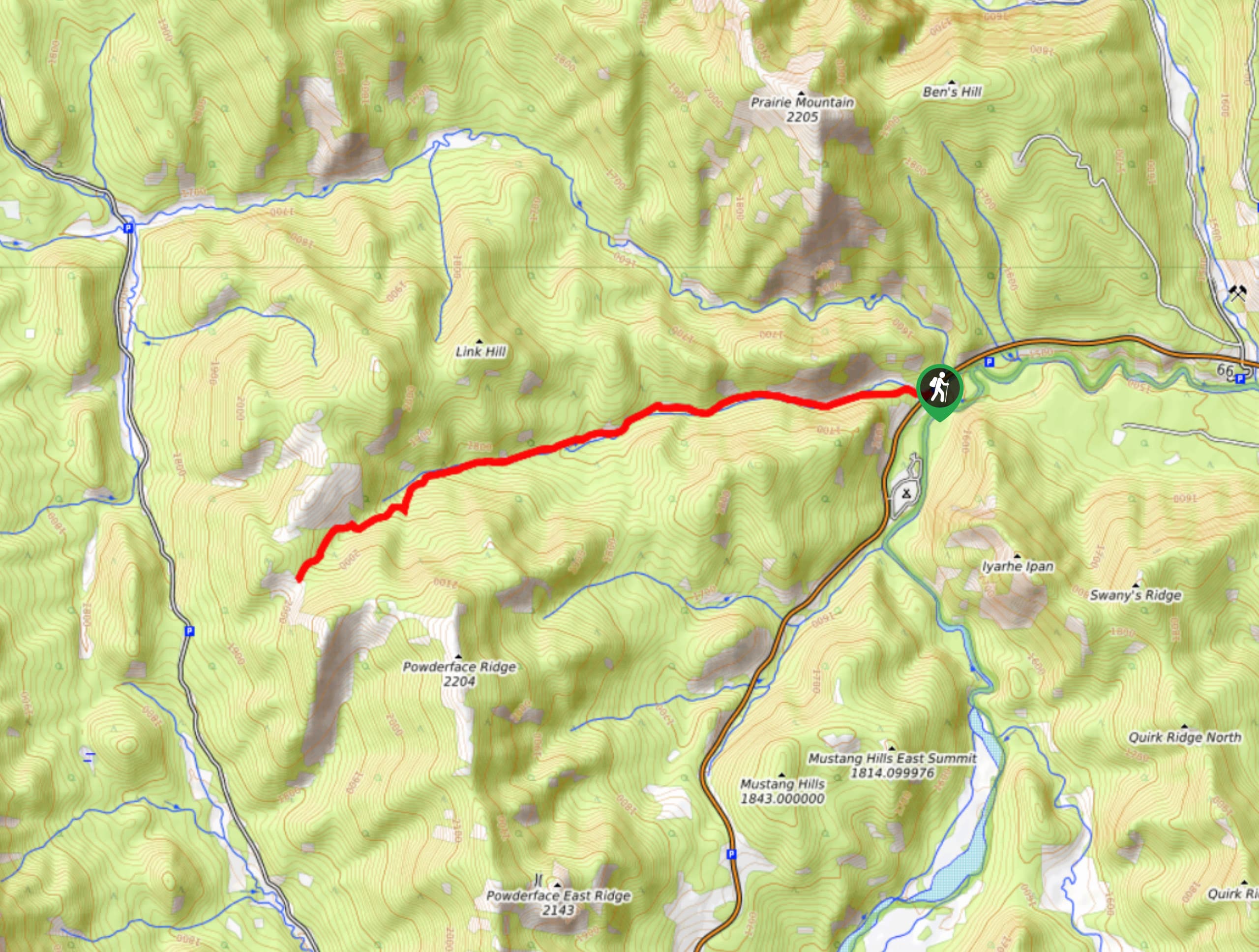
Powderface Creek Trail
The Powderface Creek trail in Kananaskis is a popular hiking, biking, and horseback trail, so be aware of traffic when…
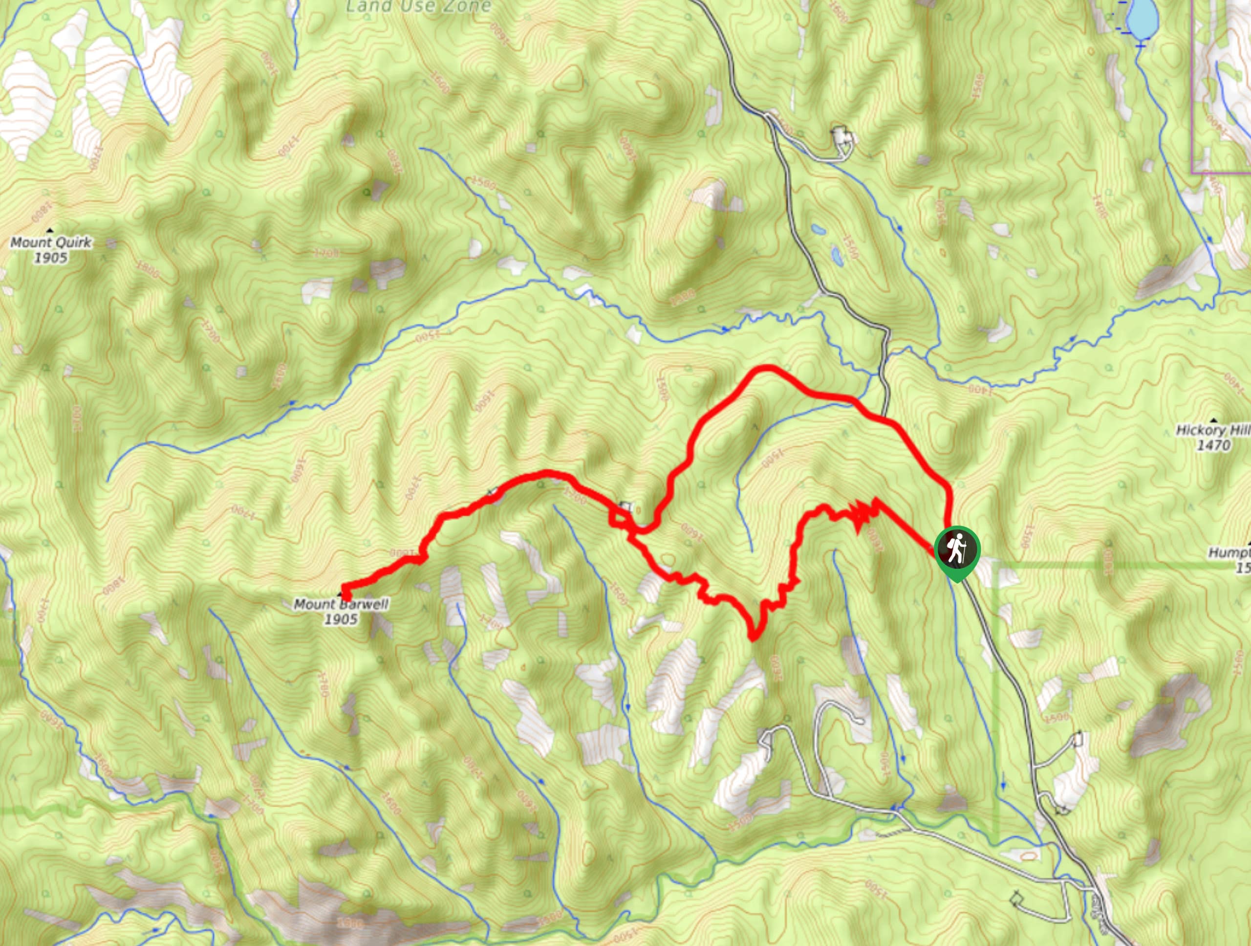
Barwell Trail
Hiking the Mount Barwell Trail is a half to full day effort that is very rewarding. With minimal crowds and…



Comments