Widgeon Falls hike
View Photos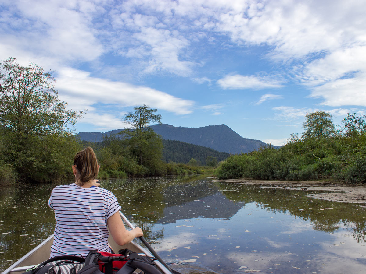
Widgeon Falls hike
Difficulty Rating:
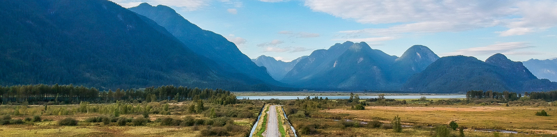
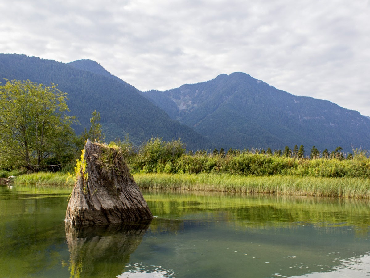
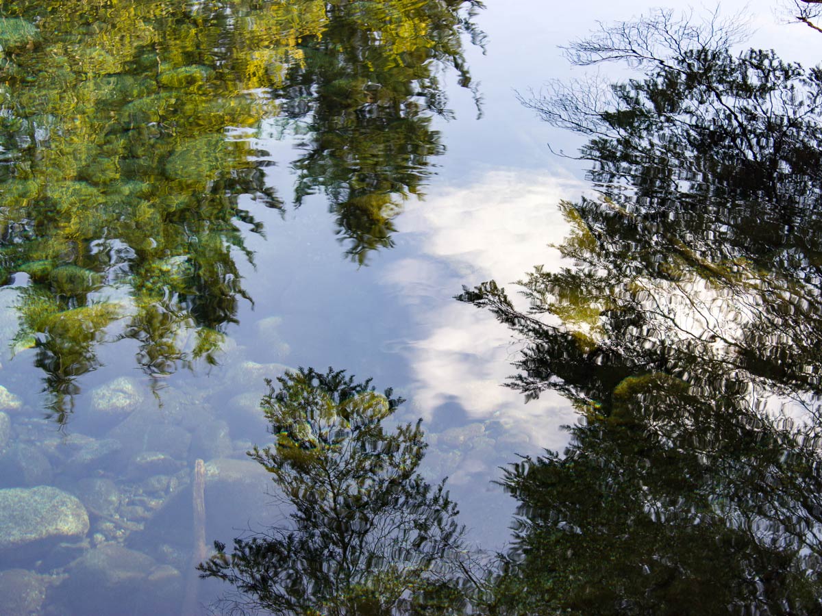
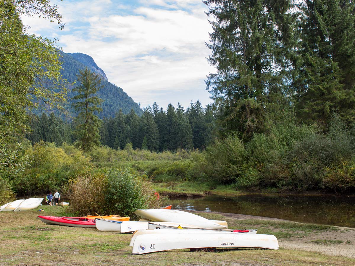
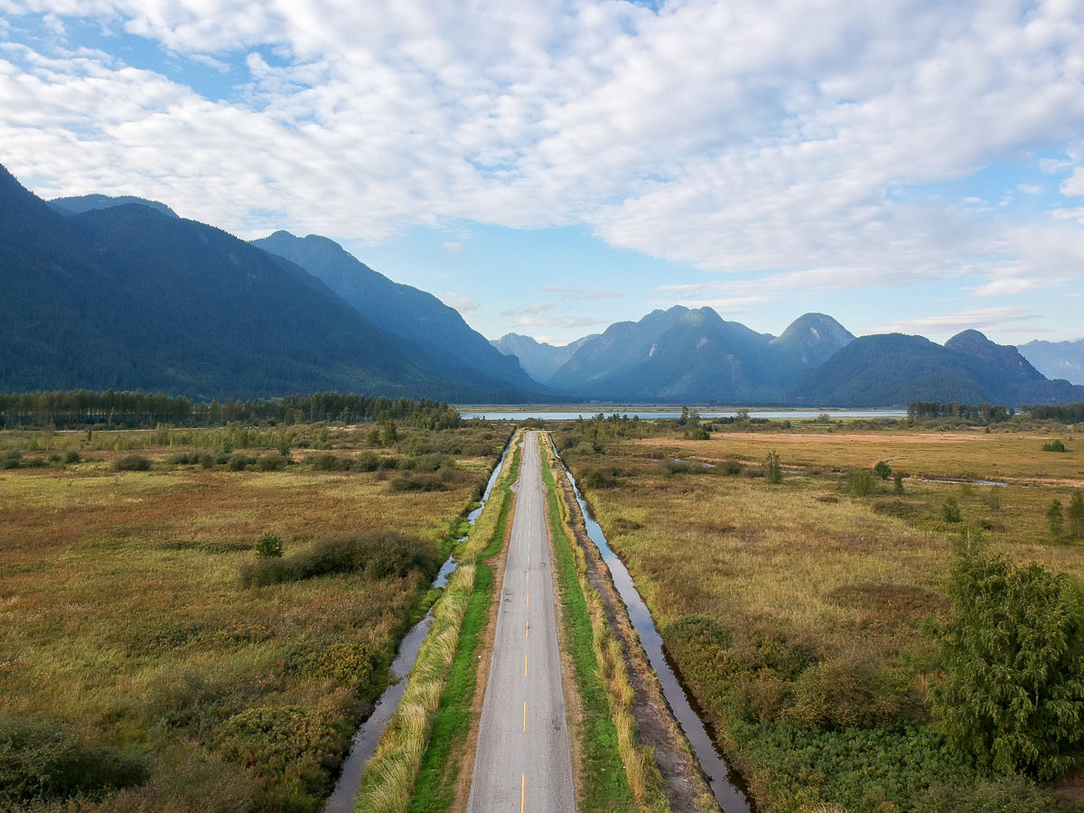
Get ready for some paddling fun, since you’ll need to canoe or kayak to reach the starting point for the Widgeon Falls hike. This trail can be a great all-seasons hike, but is especially spectacular in the fall, as the leaves change colour all along the shallow waters of Widgeon Slough.
Getting there
Take Hwy 7 E towards Pitt Meadows/ Maple Ridge. Just after crossing the bridge, turn left onto Dewdney Trunk Road. Turn left onto Harris Road, and then right onto McNeil Road. Turn left onto Rannie Road and follow it all the way to the parking lot near the docks. Day parking is free and overnight parking is $5 per night.

About
| When to do | Any season |
| Backcountry Campsites | Yes |
| Family friendly | Yes |
| Route Signage | Average |
| Crowd Levels | Moderate |
| Route Type | Out and back |
Widgeon Falls
Elevation Graph
Weather
Route Description for Widgeon Falls
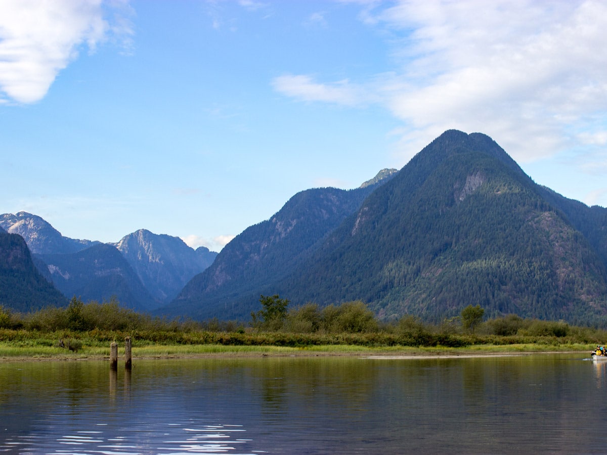
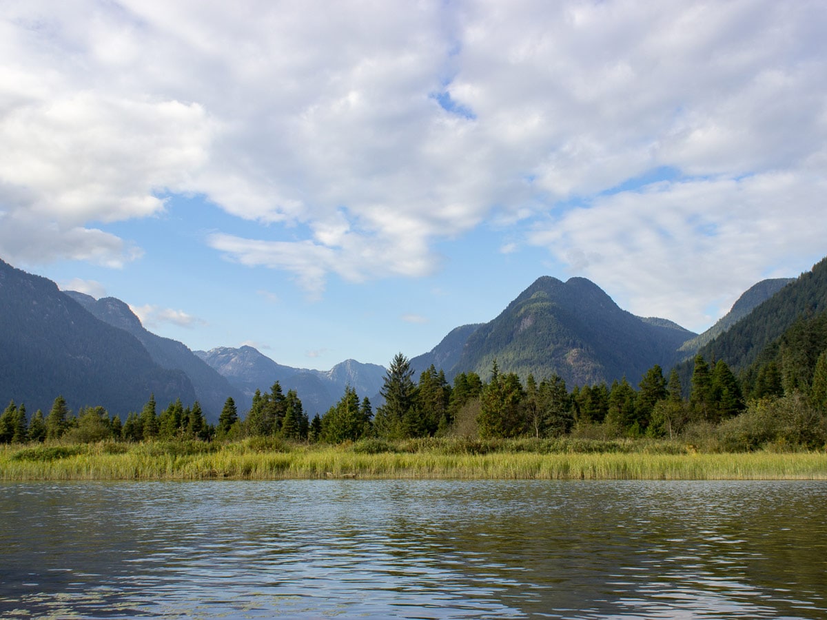
Depart for the Widgeon Falls hike from the dock in your canoe/ kayak and paddle north, across Pitt Lake/ Grant Narrows. Paddling toward the trailhead for the hike to Widgeon Falls.
Upon arrive, stash your canoe or kayak and head northwards along the trail, which is clearly marked by a green B.C. Parks trailhead marker. From here, it is 1.8mi to Widgeon Falls, and 1.5mi to Widgeon Lake Trail connector.
Follow the maple tree lined path, now watching for square, orange markers in the trees.
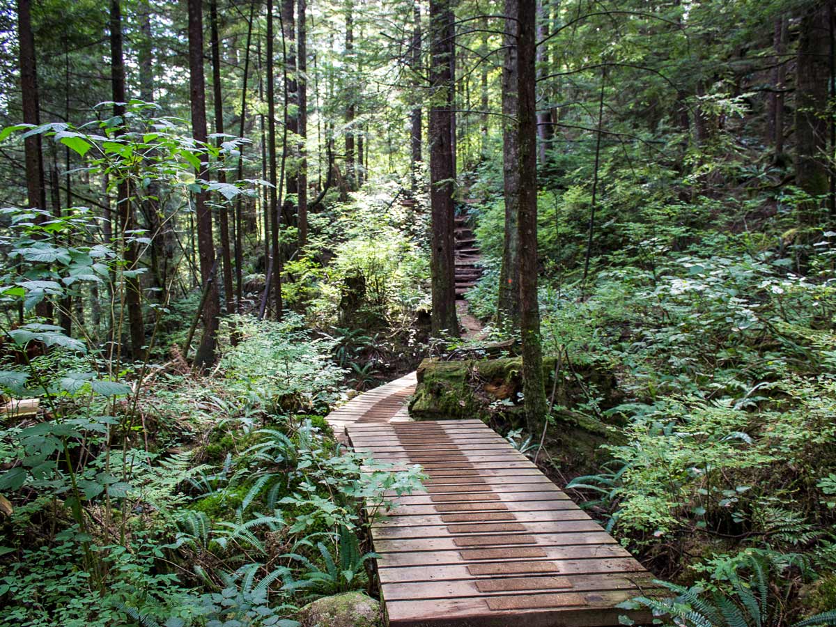
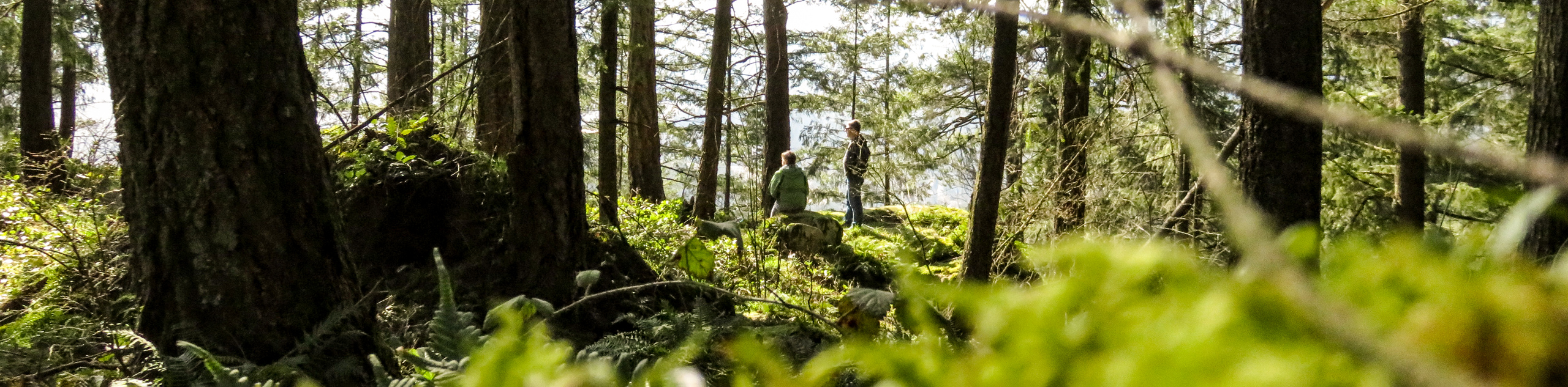
For the first 1km, enjoy an easy walk along the heavily shaded path from looming trees.
About 20 minutes or so into the hike you’ll come across a dry creek bed, which the trail winds down over loose rock. At the bottom, you’ll find yourself at a junction. Head right, towards Widgeon Falls.
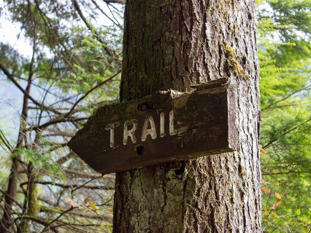
You’ll soon come to a view of Widgeon Creek and a big sign that says ‘Trail’ pointing to the left. Here, the path narrows, almost to a single-track, but it is flat and easy to navigate.
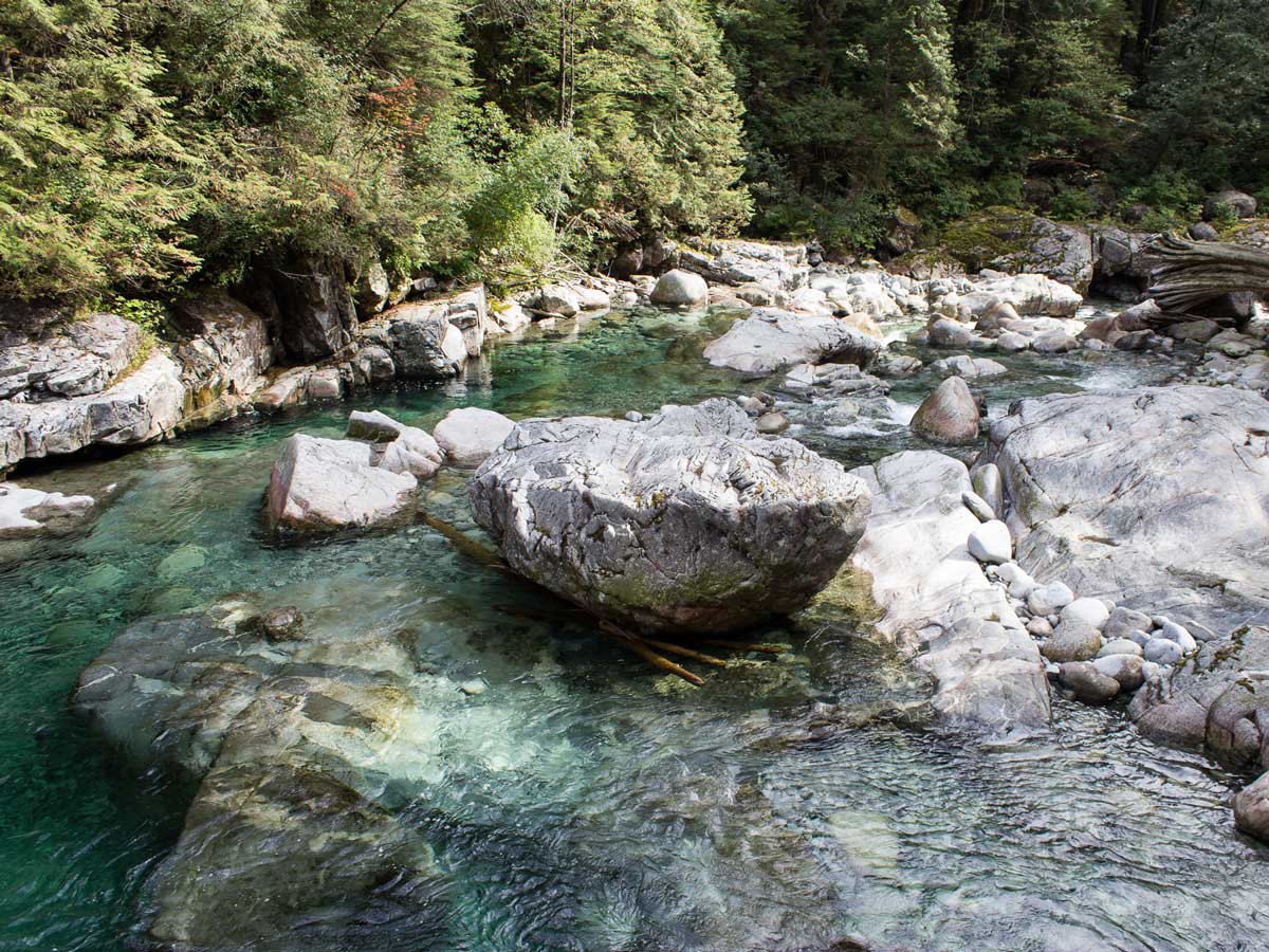
Continue onwards with the forest on your left, and creek on your right.
From here, you’ll being to cross over multiple bridges, usually over dry creek beds during the summer.
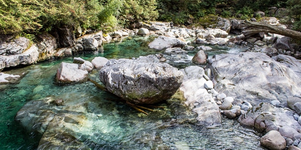
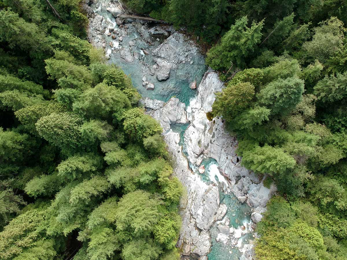
After roughly 1.3mi you’ll cross a third bridge. Stay on the trail until you find a spot where you can actually come up next to the creek for a break or cool off. Cross over more bridges and even a few wooden logs over the creek.
Eventually, you’ll reach a set of wooden stairs. It’s a quick two-minute climb. From here, the trail flattens out once more for an easy walk.
At roughly 1.7mi, you will reach the junction for the old trail to Widgeon Falls. Keep left of the sign, to stay on a more well-maintained trail, marked with orange flags.
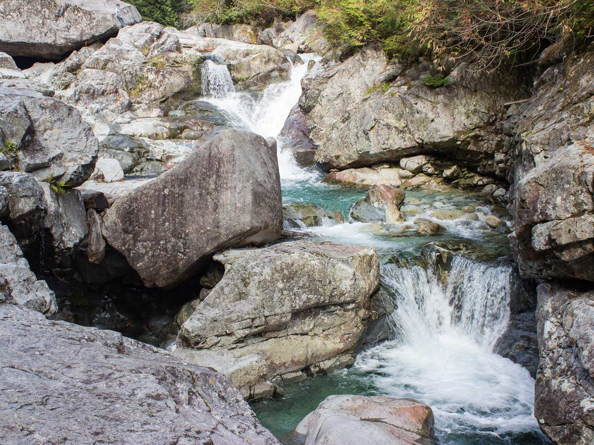
Arrive at the final junction for a quick, but steep uphill climb until you reach a sign reading: “Widgeon Creek Falls 164ft”. Go right at the junction.
You’ll be able to hear the falls before you see them. Travel down the wooden steps and emerge onto a rocky outcrop, directly next to the falls. Stop here for lunch or a rest, or even scramble onto larger boulders for a better view.
When you’ve had your fill of Widgeon Falls, take the same trail back to the beach to get your canoe.
Insider Hints
If you plan to backcountry camp on the Widgeon Creek Falls Hike, there is the Widgeon Creek Campsite for overnight stays.
Late in the summer, when the rushing water is calmer, you can find some areas downstream suitable for taking a dip. Don’t forget to bring your bathing suit. Pick your spot wisely, the currents can be incredibly strong and there can be undertows.
For the very adventurous, and those not wanting to paddle, you can access the Widgeon Creek campsite via a very long and difficult hike over the Burke Summit Trail and down the Burke-Widgeon Connector Trail (advanced hikers only). There is no access from Quarry Road, as it is gated and private.

Similar hikes to the Widgeon Falls hike
Trans Canada and Pandora Trail Loop
The Trans Canada and Pandora Trail Loop is a combination of several trails within the Burnaby Mountain Conservation Area that…
Quarry Trail
The Quarry Trail is a scenic hike through the beautiful wetlands of Minnekhada Regional Park that takes hikers to several…
DeBoville Slough to Addington Lookout
The hike along DeBoville Slough to Addington Marsh is an easy 6.0mi out-and-back trail along a paved path…
Allison Bailler 5 years ago
Great hike. This is one of the very few hikes where I feel the tranquility of the surroundings. It's so amazing!
Florian L. 6 years ago
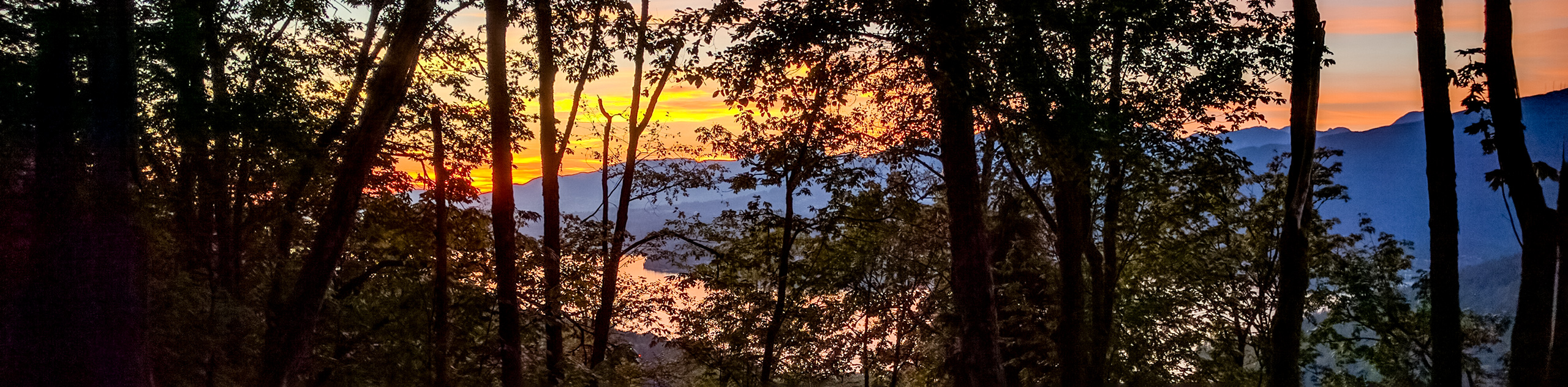
Magnificent views of the narrows and lakes. I highly recommend going early to see the beautiful sunrise!
Jude L. 6 years ago
The last bit of paddling to cross the lake was pretty exhausting, after being out all day. Other than that, It was a memorable experience. Highly recommended.
Heinrich P. 6 years ago
The hike portion is alright, nothing spectacular and a little dull, but the falls are great to cool off. Best to go early if you want to bask in the sun.
Rixy H. 6 years ago
amazing combination of canoeing and hiking...the lake is stunning with super clear water and beautiful mountains in the background.