

Munro Lake & Dennett Lake hike
View PhotosMunro Lake & Dennett Lake hike
Difficulty Rating:
For a challenging hike, explore two amazing lakes near Coquitlam, BC: Munro Lake and Dennett Lake, which can be accessed via a steep hike in Pinecone Burke Provincial Park, Coquitlam. Be sure to pack your swimsuit so you can run straight for the water at the end of the hike during the summer months.
Getting there
Take Coast Meridian Road north in Coquitlam. Turn right onto Victoria Dr. to Quarry Rd. Go left where Victoria Drive forks. Follow Victoria Drive, which will turn into Quarry Road. Drive past the entrance to Minnekhada Regional Park to reach the parking lot.
About
| When to do | June to October |
| Backcountry Campsites | No |
| Family friendly | No |
| Route Signage | Average |
| Crowd Levels | Moderate |
| Route Type | Out and back |
Munro Lake & Dennett Lake
Elevation Graph
Weather
Route Description for Munro Lake & Dennett Lake
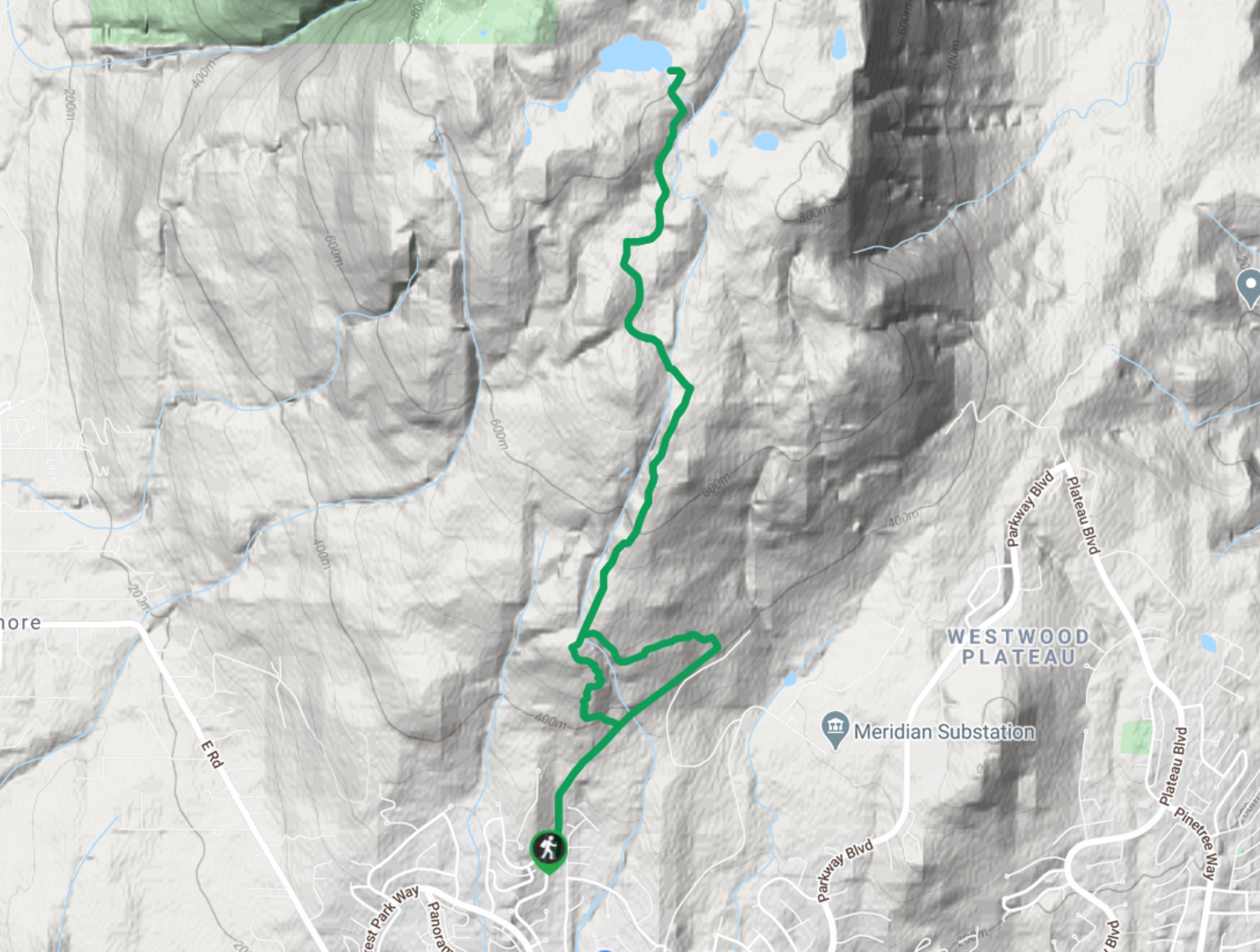
Park on the side of the gravel road near the 7.5mi marker and find the trail for the Munro and Dennett Lake hike. Look to the northside of the road to spot to find the path, which is an old logging road that begins heading uphill immediately, into the forest.
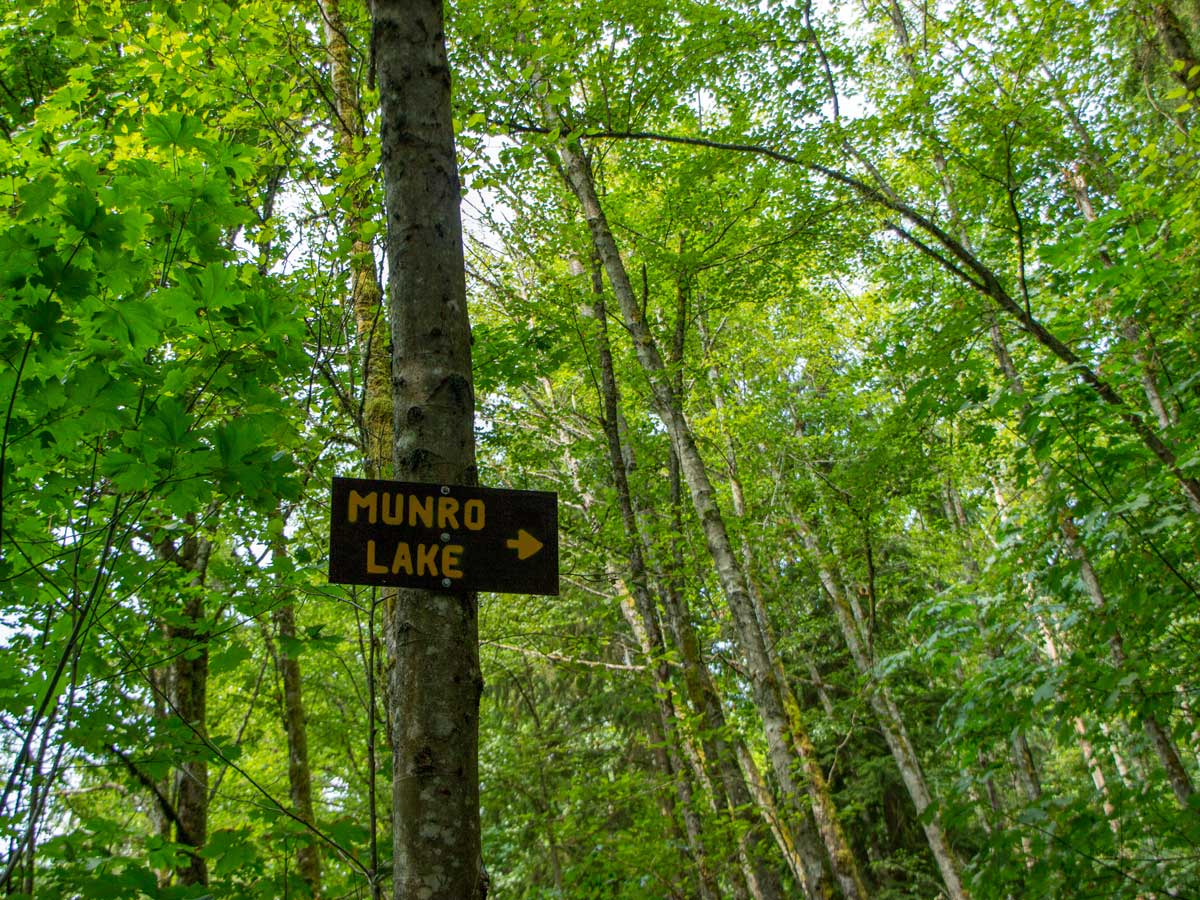
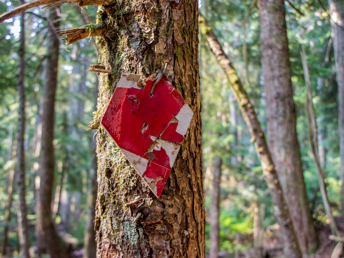
Soon, you’ll spot a yellow-painted sign directing you to Munro Lake in a tree. Head right and you’ll be directly on the Munro Lake Trail, following the square trail markers.
The trail turns into a single-track, as you pass massive boulders towards Deiner Creek, which will be on your left.
At the next junction, head right, continuing to follow the path for Munro Lake.
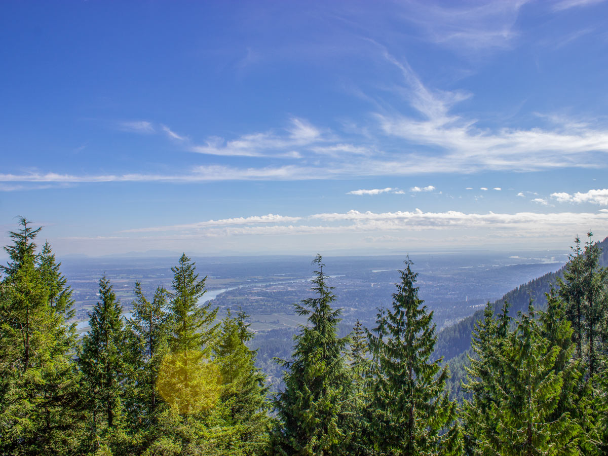
Keep your sightline looking outwards towards your right to catch your first glimpse of Pitt River, continuously heading uphill for a sharp climb.
At times, the trail can be overgrown, look for markers, ranging from ribbons to painted tin cans to help keep you on track. In about 2625ft, the trail becomes thick and bushy, but not to worry, you’re still headed the right way.
Press onwards, the trail will have multiple forks in the road, but just continue to follow the pink ribbons. You’ll eventually reach some switchbacks, that wind as you continue uphill.
At around 1.3mi you’ll come to a junction with a pretty viewpoint, but nothing too spectacular.
From this point on, the path will become steep and require crossing large switchbacks. You’ll notice a shortcut that runs up the middle of the switchback, but please stay on the main path to help protect the environment.
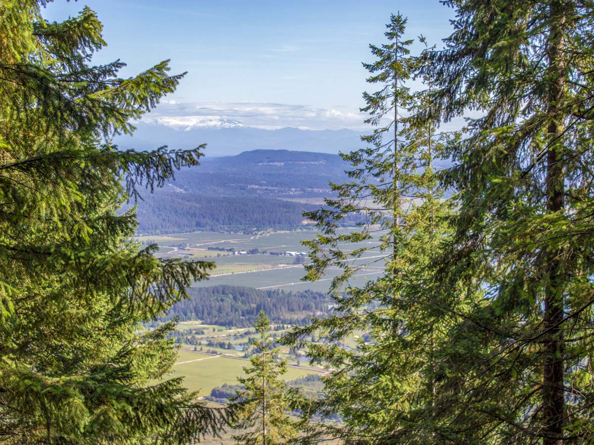
At the top of the switchbacks, at about 1.6mi, there is a sign on the trail that says ‘Viewpoint Loop’. Follow the side-trail to the viewpoint. It’s a detour of only a couple minutes and gives you a great lookout from a rocky bluff. You’ll be able to see the Port Mann Bridge, Pitt River, Port Coquitlam, and Surrey.
Loop back towards the main Munro Lake Trail, looking for signs leading to the ‘Munro Loop.’ Go left here and you’re in the final homestretch on your way to Munro Lake.
Follow the flags along the most technical part of the trail, avoiding roots and stubs that can make getting your footing right a little difficult.
About 2.2mi into the hike, arrive at a split in the road, where the trail signs are tacked onto the trees. Head right, towards Munro Lake.
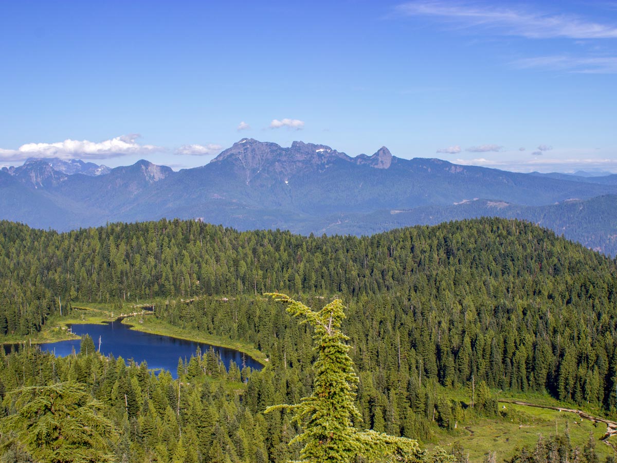
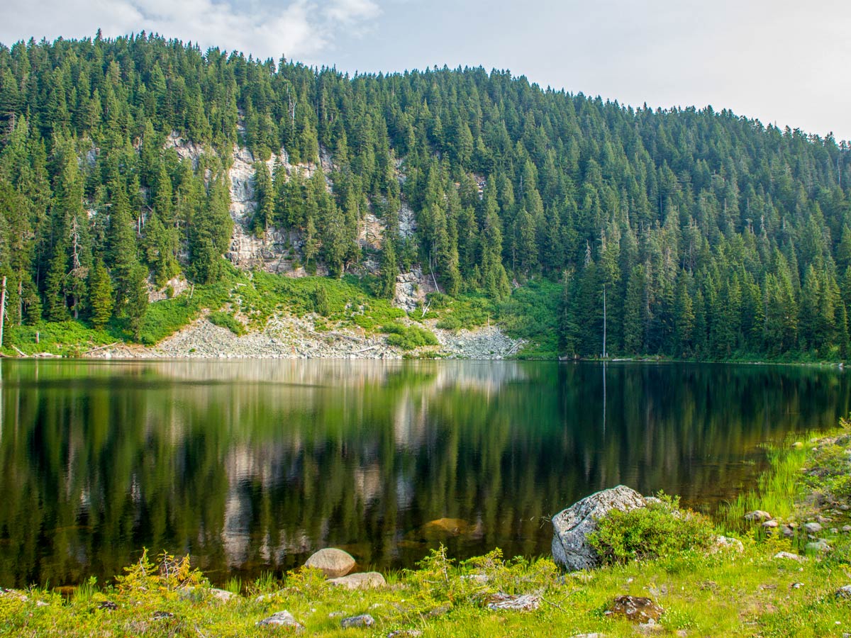
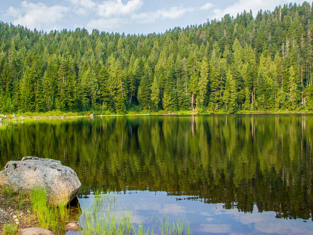
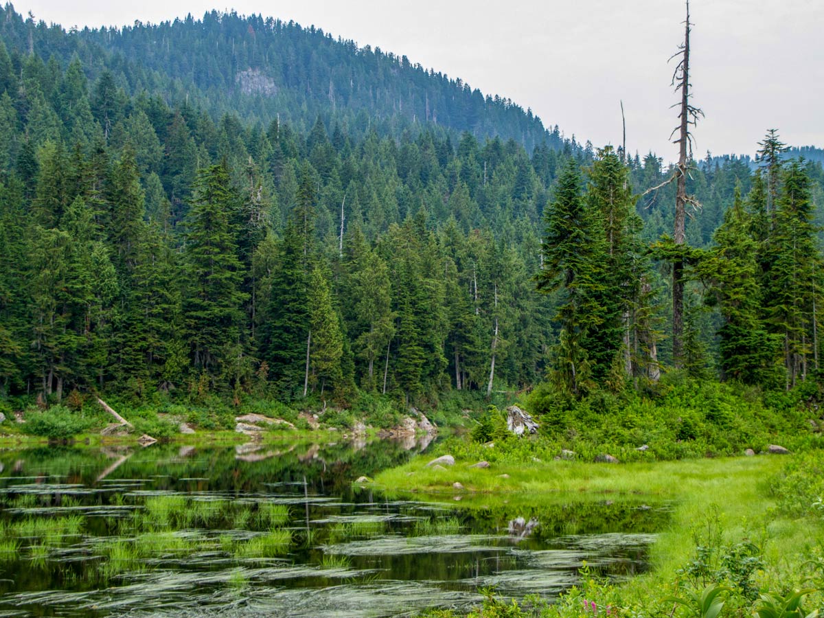
Finally, you’ve arrived at Munro, which is actually a series of smaller lakes. When you first come to the clearing, the sights are not overly impressive, but if you head right, it will bring you alongside the water’s edge for a better view of the area.
If you’re feeling burned out, turn back from here. But if not, press on and you’ll be rewarded with even better views.
From here, press onto Dennett Lake.
Find the blue flagging that goes across the middle of a raised area, close to the pond where you first entered the Munro Lake area.. Follow the often muddy trail into a bushy area and cross the creek. Just keep following the blue flags until the trail thins out and you arrive back into the forest.
The next stretch is the most difficult part of the entire hike, with an uphill push. Footing can be difficult, so really take your time and use your hands if needed.
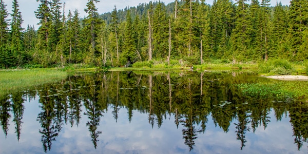
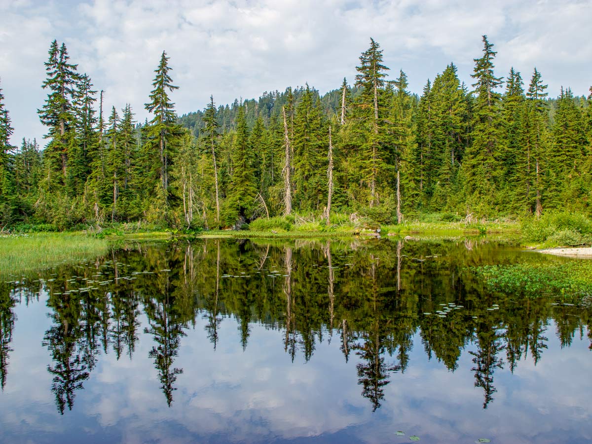
At the top, you will emerge to a beautiful pond with lily pads and skunk cabbage. Look left and you’ll notice an unmarked, but clearly well-trodden trail. Follow it for roughly 20-minutes to reach the Munro Lake lookout, where you can look down towards the lake or out east to see the Golden Ears mountainscape.
After a rest, return back to the pond and you’ll be back on the mail trail Continue around the other side of the pond, and the trail will push you onto the shore of Dennett Lake.
Here, you’ll see beautiful Dennett Lake, with a large cliff wall around the far side of it. You can walk along the edge of the lake, find a nice spot to rest, and enjoy the scenery. On hot days, there is nothing better than making a run for the cool waters of the lake.
When ready, retrace your steps back to Munro Lake, then back down to your car.
Insider Hints
On the Munro Lake and Bennett Lake hike, the bugs (mosquitoes in particular) can be quite bad. We recommend packing bug spray and continuing to apply throughout your walk.
Similar hikes to the Munro Lake & Dennett Lake hike

Quarry Trail
The Quarry Trail is a scenic hike through the beautiful wetlands of Minnekhada Regional Park that takes hikers to several…
Lungbuster Trail to Cypress Lake
The Lungbuster Trail is a challenging 5.1mi out-and-back hiking route near Coquitlam, BC, that follows along an extremely…

Eagle Ridge Trail
The Eagle Ridge Trail is a fantastic hiking route that sets out from Buntzen Lake and heads into the backcountry…


Kenneth D. 6 years ago
Great workout in a beautiful setting. Surely pumped me up! It's an interesting day hike.
Heinrich P. 6 years ago
The trail is very well marked, however it can get very muddy. It's a good workout with nice views on the way up.
Suzane L. 6 years ago
Very peaceful, and nice trail for wildlife spotting. The trail is well marked. Just keep an eye out, as the markers aren't always on a tree. There are a few on the ground or fallen logs.