


Gwillim Lakes hike
View PhotosGwillim Lakes hike
Difficulty Rating:
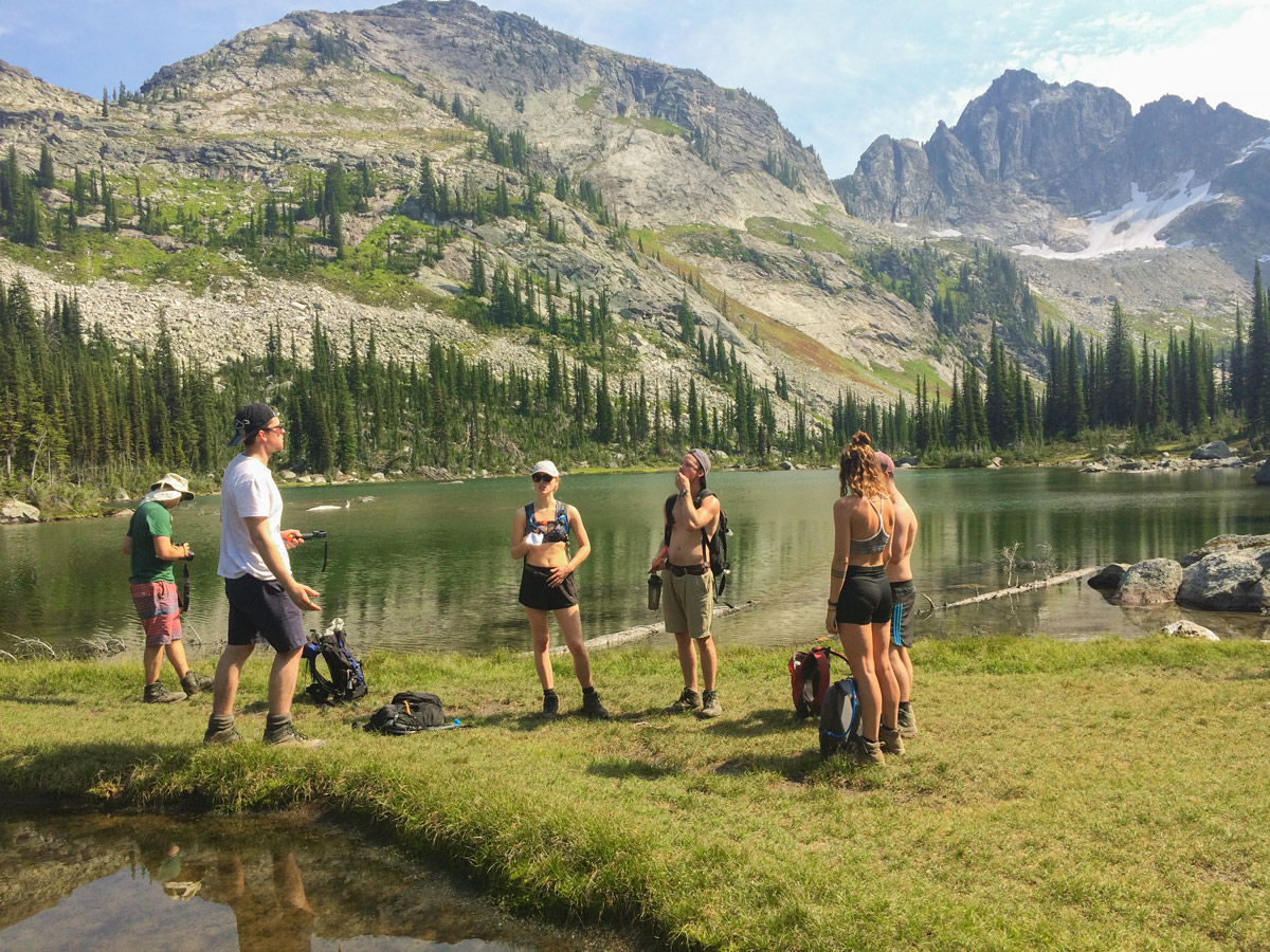
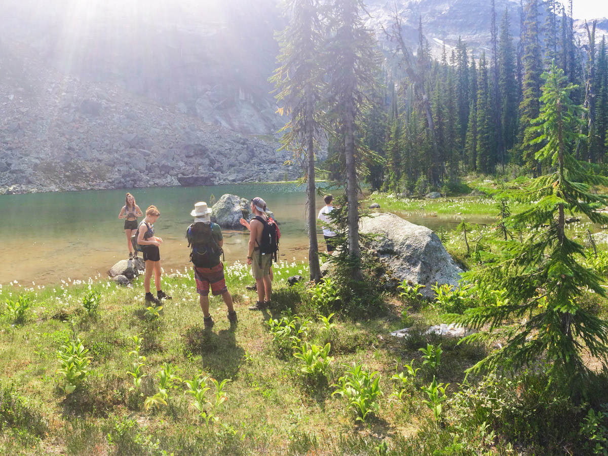
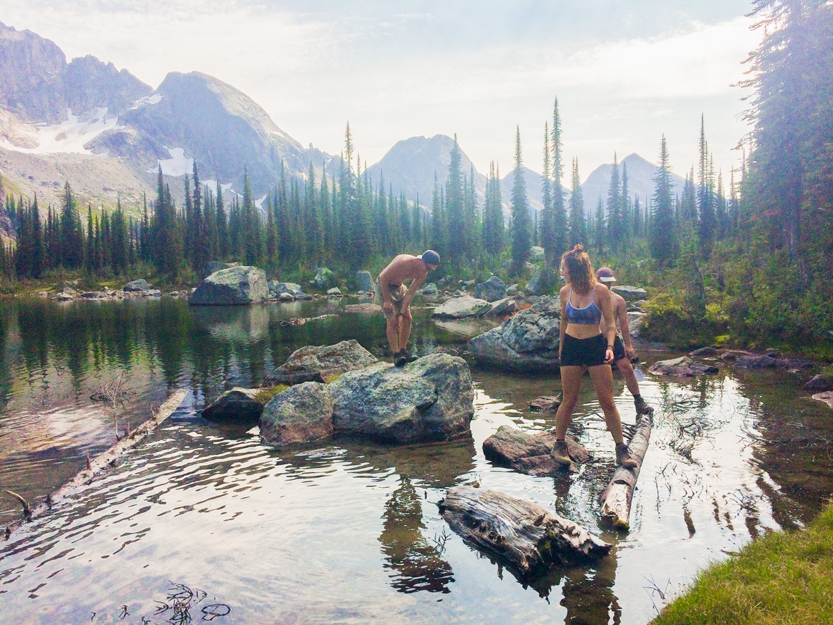
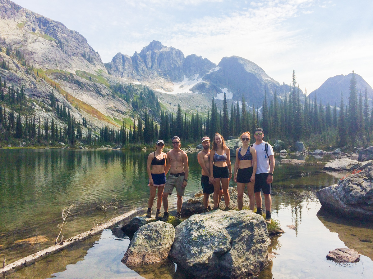
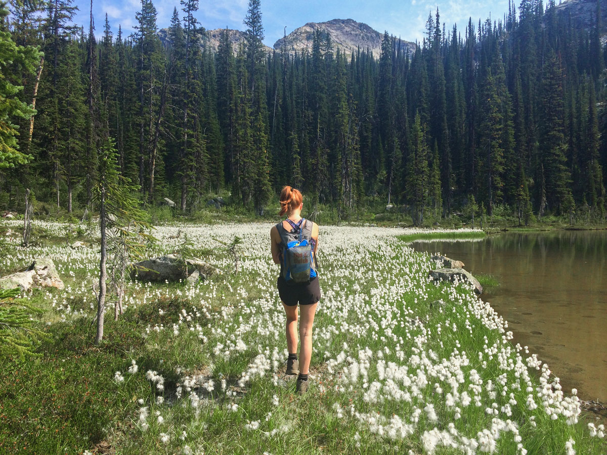
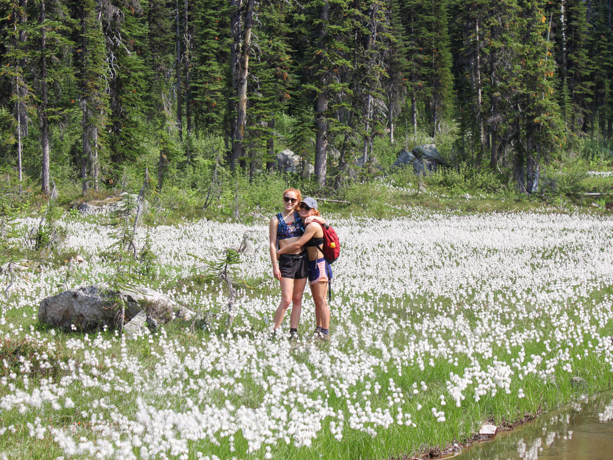
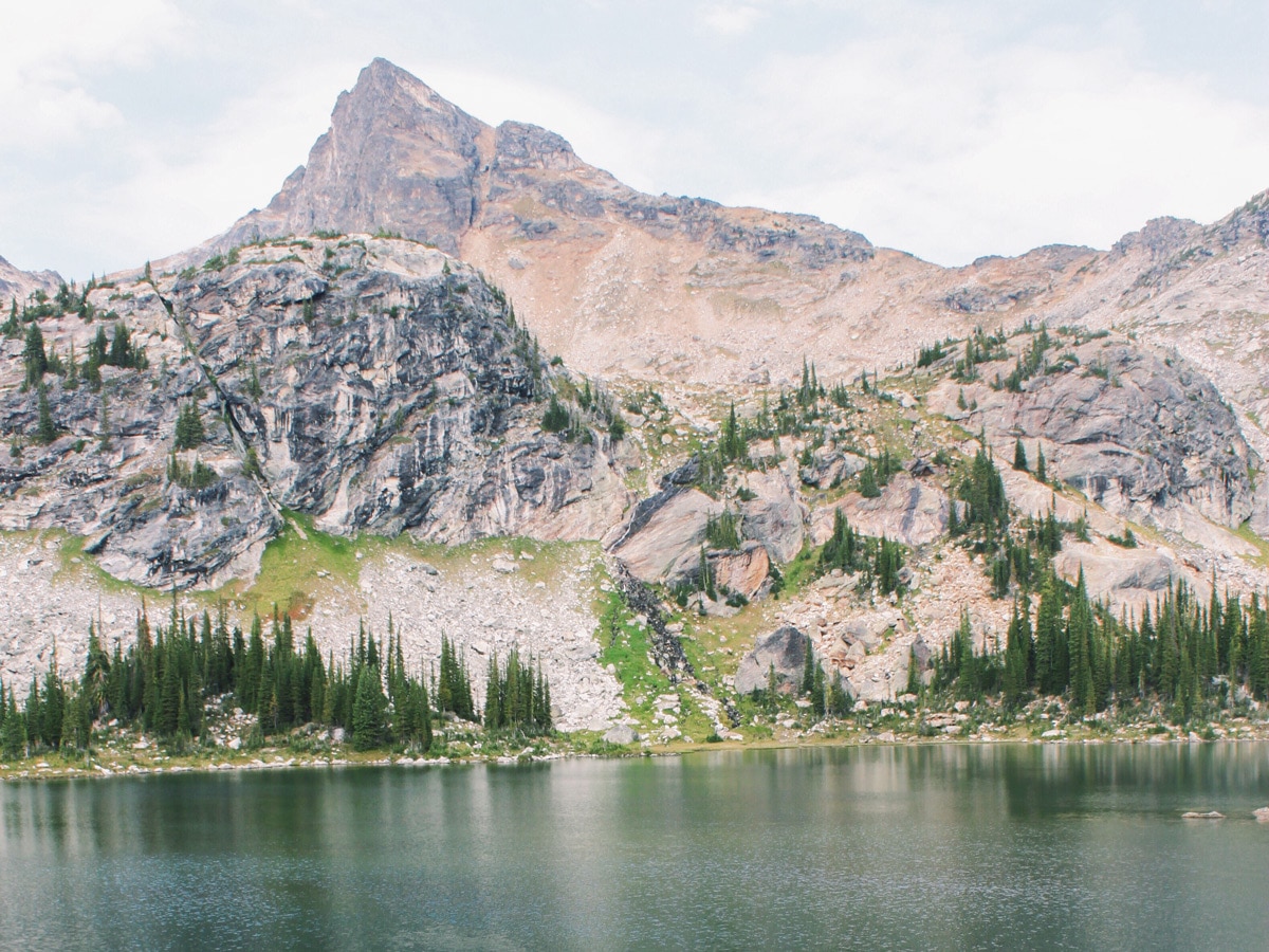
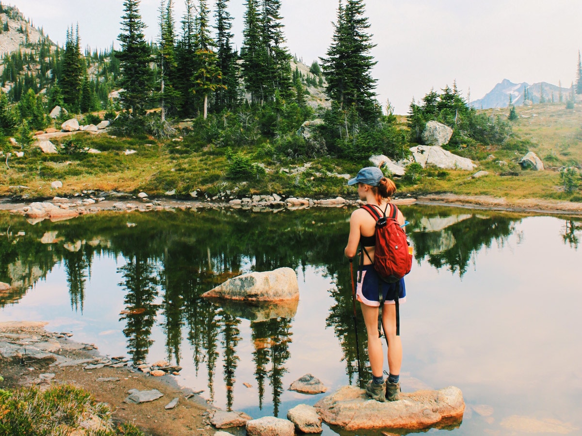
The Gwillim Lakes Hike is a beautiful hike with a large backcountry campsite located at the top. You can also hike past Gwillim Lakes and explore Lucifer Pass over a full weekend. Passing by many impressive lakes cradled by mountain peaks the whole way up, mirrored pools and flowers a plenty, the Gwillim Lakes hike is one of the most beautiful hikes in the Valhallas.
Getting there
The Gwillim Lakes trailhead is located on Hodor Creek Road , which is accessible from either Nelson or New Denver. If coming from Nelson, go to Passmore and then take Upper Passmore Road (follow signs to Valhalla Provincial Park) which turns into Little Slocan Road. After 15.5mi (and passing Little Slocan Campsite) turn left onto Hodor Creek Road for another 13.0mi. At the end of the road, the trailhead begins.
About
| When to do | July through September |
| Backcountry Campsites | Gwillim Lakes and en-route |
| Pets allowed | No |
| Family friendly | Yes |
| Route Signage | Average |
| Crowd Levels | Low |
| Route Type | Out and back |
Gwillim Lakes
Elevation Graph
Weather
Route Description for Gwillim Lakes
Before starting this hike, be aware that the final part of the road to the Gwillim Lakes trailhead is very rocky and not recommended for a low clearance 2WD vehicle, although it is typically possible if you aren’t worried about scratching the bottom! Parking is also limited.
The Gwillim Lakes hike is a relatively easy hike with exceptional views, although it can be steep and rocky in parts.
The route to Gwillim Lakes is marked, crossing through many meadows and lakes on the way. If in doubt with the route while hiking to Gwillim Lakes – go up!
What we love about the Gwillim Lakes hike is that you can make it into a fun weekend. There are multiple places to backcountry camp along this trail, with minimal tourist traffic. The Valhallas are one of the most beautiful mountain ranges in the Kootenays and are relatively unknown to tourists – you can really enjoy the peace and quiet at Gwillim Lakes.
From the parking lot, start hiking up through the forest. You’ll pass two rock-slides with impressive views of the valley beneath on your way to Drinnon Lake, the first lake on this hike to Gwillim Lakes. You typically reach Drinnon Lake in about an hour, having climbed over 984ft in under 1.2mi! Drinnon Lake is where you officially cross into Valhalla Provincial Park after a ridge climb. Look out for bears, they are commonly spotted up on the mountain tops. There is a backcountry campground here.
Continue onwards and up from Drinnon Lakes and over Drinnon Pass. Here you’ll pass the second campsite on Drinnon Pass, and you’ll start exploring the meadows and small pools, winding back and forth until you reach another lake with a gorgeous view of Wicca Peak.
You’ll descend from Drinnon Pass and then continue onwards. Now’s the time to prepare for the steeper uphill climb along the ridgeline with wonderful views of the Gwillim Drainage to your right. This last ascent is roughly 722ft of elevation gain over just over 1 km, so it’s steep.
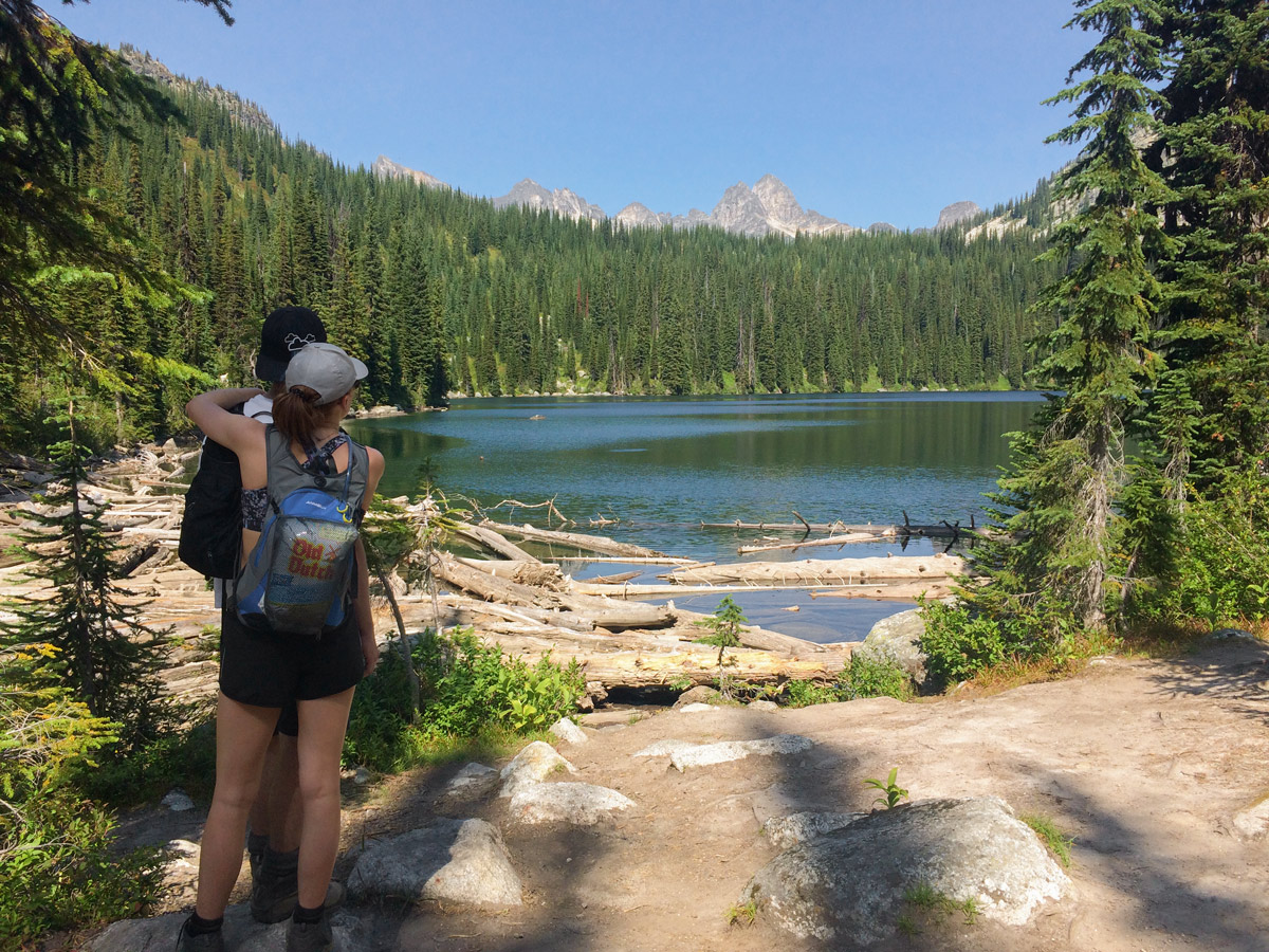
Finally, you will reach the picturesque Gwillim Lakes, and the view is stunning. You can camp for a night or two at Gwillim Lakes and explore further, or go for a swim, enjoy your lunch or head back down to enjoy the landscape from a different perspective.
Follow your path back to your car to return.
Insider Hints
This is grizzly territory, please be bear aware at all times.
2WD is possible for this access road, although high clearance is desirable (the very last 0.6mi of road is extremely rocky)
If you camp at Gwillim Lakes, a great route extension is to Lucifer Pass from the Gwillim Campground (1.9mi and 1312ft elevation gain).
The drive to the trailhead is a long drive, taking roughly 1h 45m from Nelson. Camping sites are available on Little Slocan Road if you are driving a long way.
If staying in Nelson, treat yourself to some taco’s at Cantina Del Centro.
Try and time this with another day hiking trip to Gimli Ridge, they are both wonderful hikes.
Similar hikes to the Gwillim Lakes hike
Wilson Creek Falls Trail
The Wilson Creek Falls Trail is a 1.8mi out-and-back route in Goat Range Provincial Park that travels along…
McPhee Waterfalls Hike
The McPhee Waterfalls Hike is a 3.5mi out-and-back hiking route near Castlegar, BC, that will take you along…
Brilliant Overlook Hike
The hike to Brilliant Overlook is a 3.7mi out-and-back trail in Castlegar, BC, that works through the forest…


AnnSue 5 years ago
One of the most amazing chill hike we ever had!
Eric Parats 5 years ago
This is one of the region’s best hikes and a worthwhile backpacking destination for a weekend in alpine paradise.
Glori S. 5 years ago
Fall in love with numerous natural attractions! Turquoise lakes, mirrored pools, and circles of peaks all around. The hike to Gwillim Lakes goes from impressive to amazingly incredible!
Meighan 5 years ago
Don't be discouraged if this hike is tough because it will leave you wanting more
Kevin Dufont 5 years ago
Complicated and challenging trails! Once at the lakes it’s a shame not to explore the surrounding ridges. Just a truly wonderful experience all around.
hoshiuemura 5 years ago
It is a moderately crazy hike with surprising switchbacks.
Sonya Strut 5 years ago
There are incredible views of the mountain ranges from the top. They look absolutely stunning.
Tara Green 5 years ago
A great hike in a stunning park. It can be completed in six hours
verdanaf. 5 years ago
The lake was unlike any typical lakes I've seen in the park. It got some charm on its own that I cannot explain.
Carissa Alvarado 5 years ago
It's a good hike to do on sunny days. The mirrored pools were fascinating.