


The Fortress Scramble
View PhotosThe Fortress Scramble
Difficulty Rating:
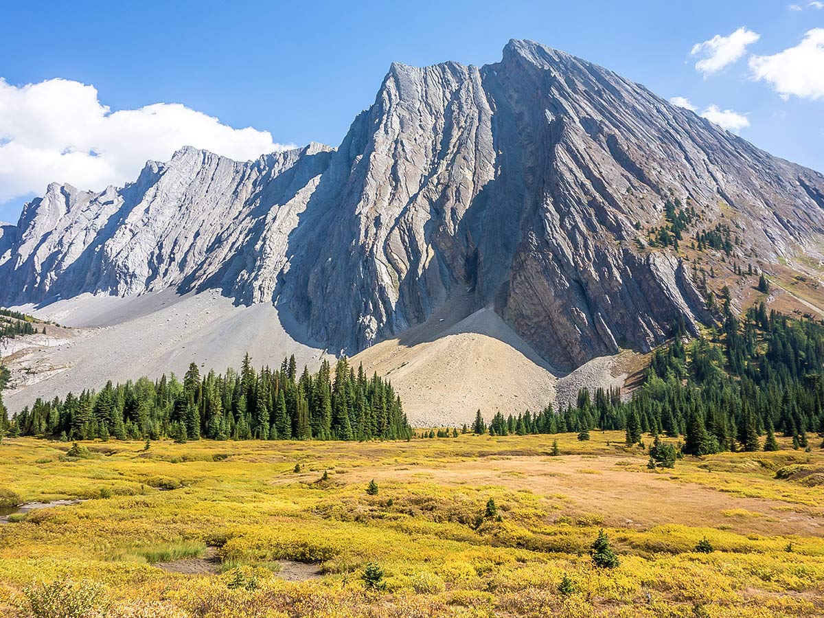
The Fortress is aptly named for its ominous appearance from Highway 40, however a scramble to the summit can be fairly easily achieved via two ascent routes. The scramble to the top of the Fortress is not only fun, but also provides a stunning view!
Getting there
The trailhead is located on the unpaved Highway 742, also known as the Smith-Dorrien Trail. From Canmore drive towards the Nordic Centre. Continue past the Nordic Centre and travel 25.5mi before reaching the parking lot. If coming from Kananaskis Lakes in the south, the distance is approximately 12.4mi.
About
| When to do | July - September |
| Backcountry Campsites | None |
| Toilets | Several day use areas along highway 742 |
| Pets allowed | Yes - On Leash |
| Scarmbling Rating | Grade 1 |
| Exposure | Mild |
| Family friendly | No |
| Route Signage | Poor |
| Crowd Levels | Moderate |
| Route Type | Circuit |
The Fortress
Elevation Graph
Weather
Route Description for The Fortress
The Fortress can be ascended via either the Headwall Lakes or Chester Lake trails; we chose to ascend via Headwall Lakes and descend via Chester Lake. This loop option is only marginally longer than a direct in-out ascent via Chester Lake (the shorter direction) and would allow us to avoid the hordes at Chester Lake for half the trip as well as provide a bit of scenic variety.
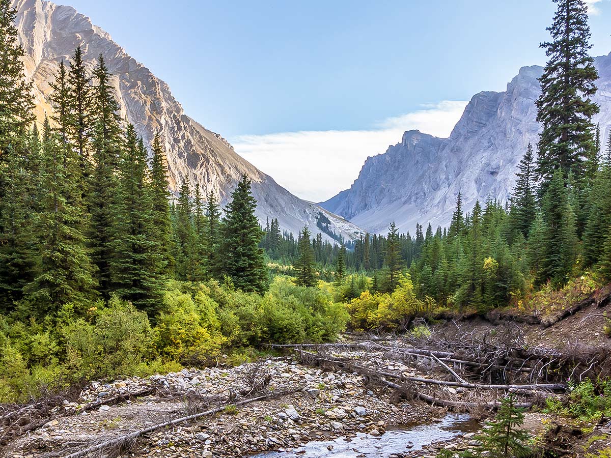
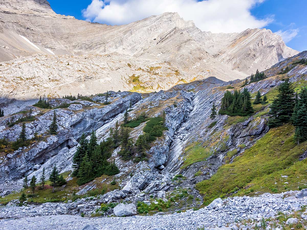
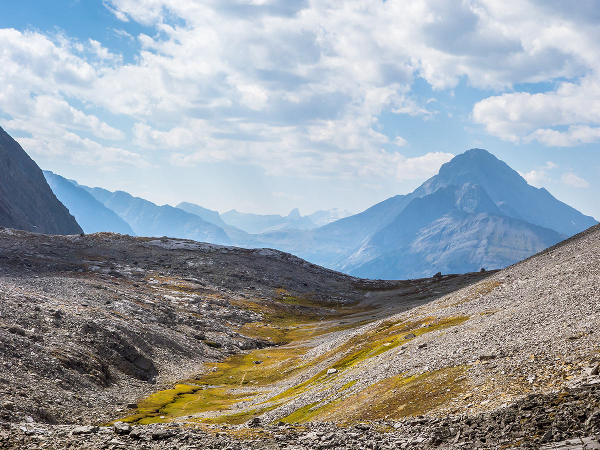
We started hiking on the Headwall Lakes trail around 8:30 am, making quick work of the first 1.9mi or so of trail that follows a snowshoe route/road that runs nearly parallel to the Spray Lakes Road until it reaches Headwall Creek. We crossed the creek on a new bridge, then after a short ascent on the snowshoe trail/road, picked up the good trail heading up Headwall Creek. It’s marked by two cairns, flagging, and a trail camera, and the snowshoe trail/road has a line of rocks across it to discourage zombie hikers from going too far.
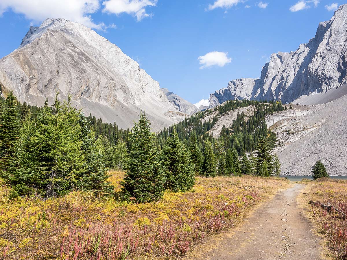
The trail was in very good shape and any area that had been affected by the 2013 flood was well cairned, although these sections were so short that cairns weren’t really necessary. We had been expecting greater damage and route finding difficulties since we had heard of a few groups getting lost on the trail, but the trail was about as obvious as possible without being a veritable highway like the path to Chester Lake.
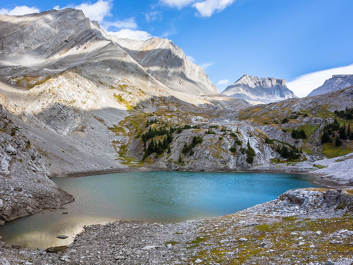
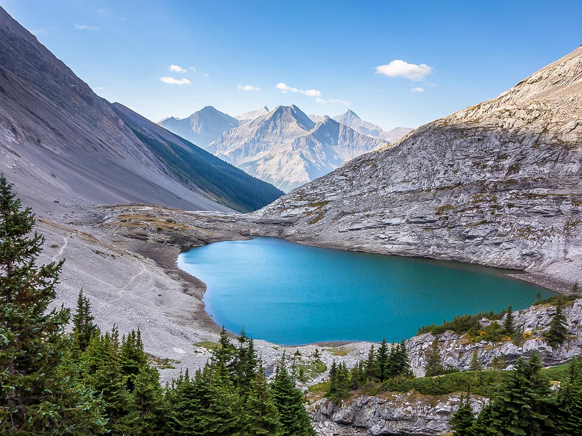
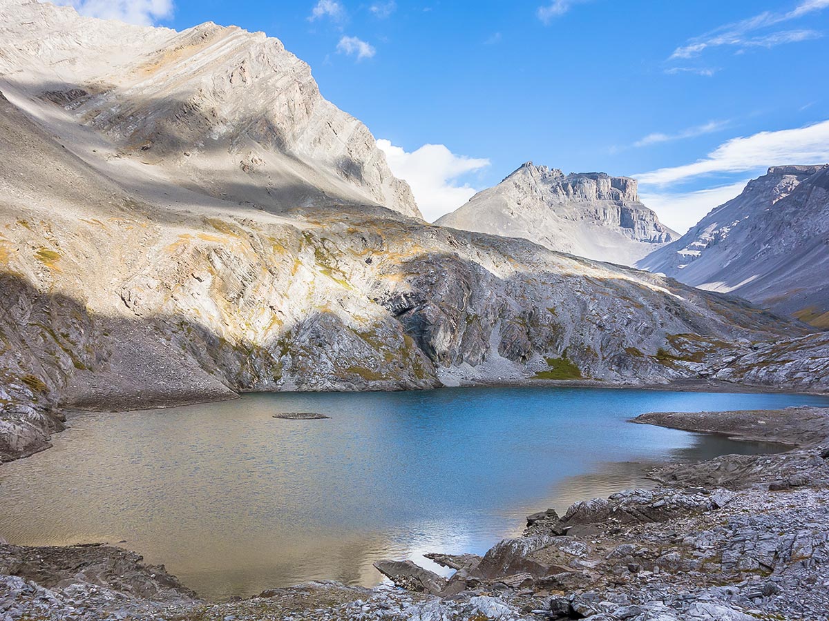
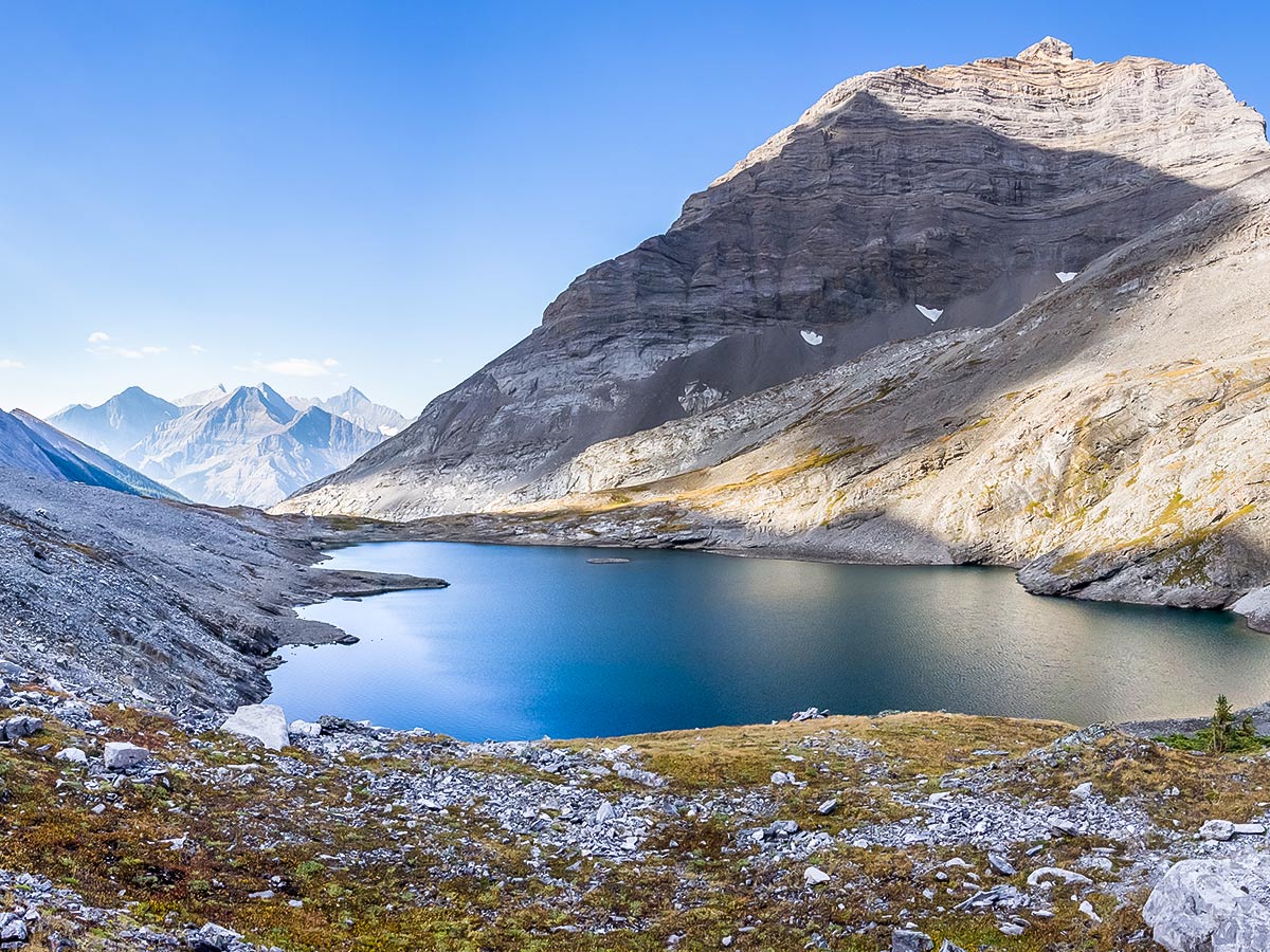
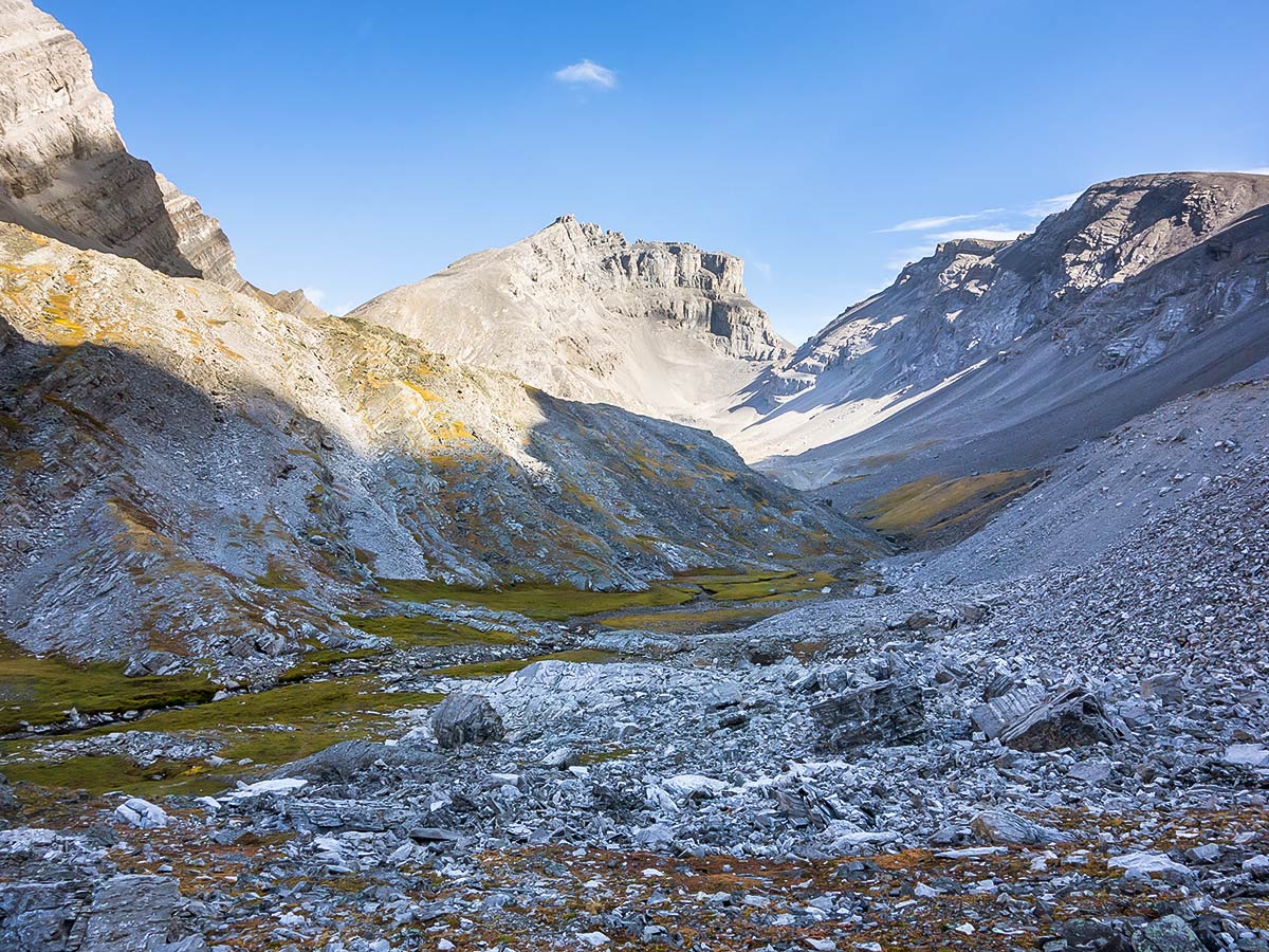
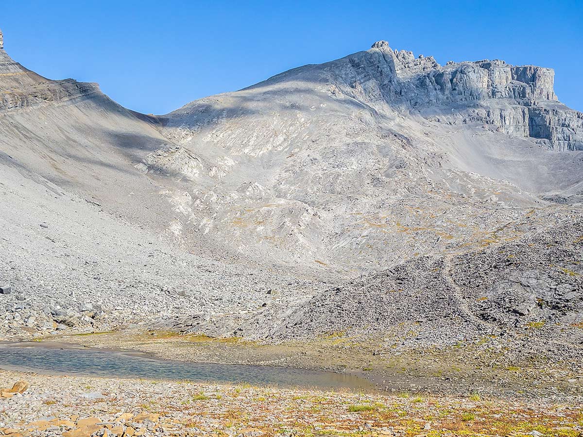
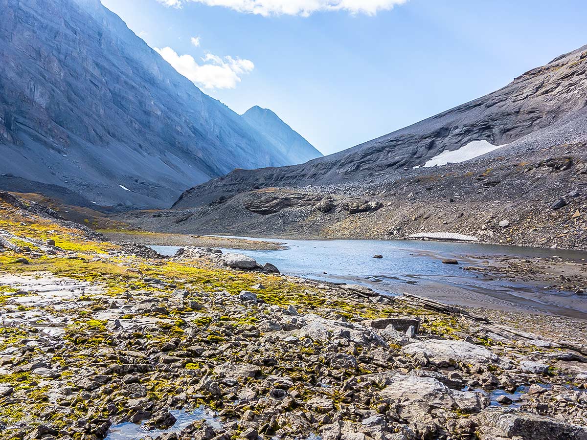
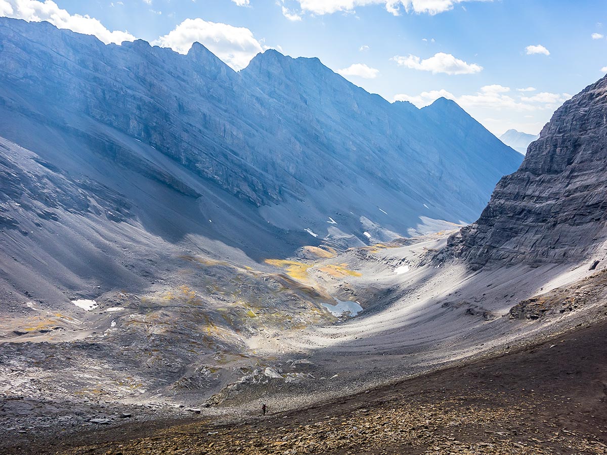
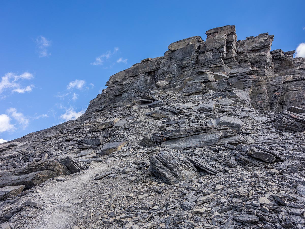
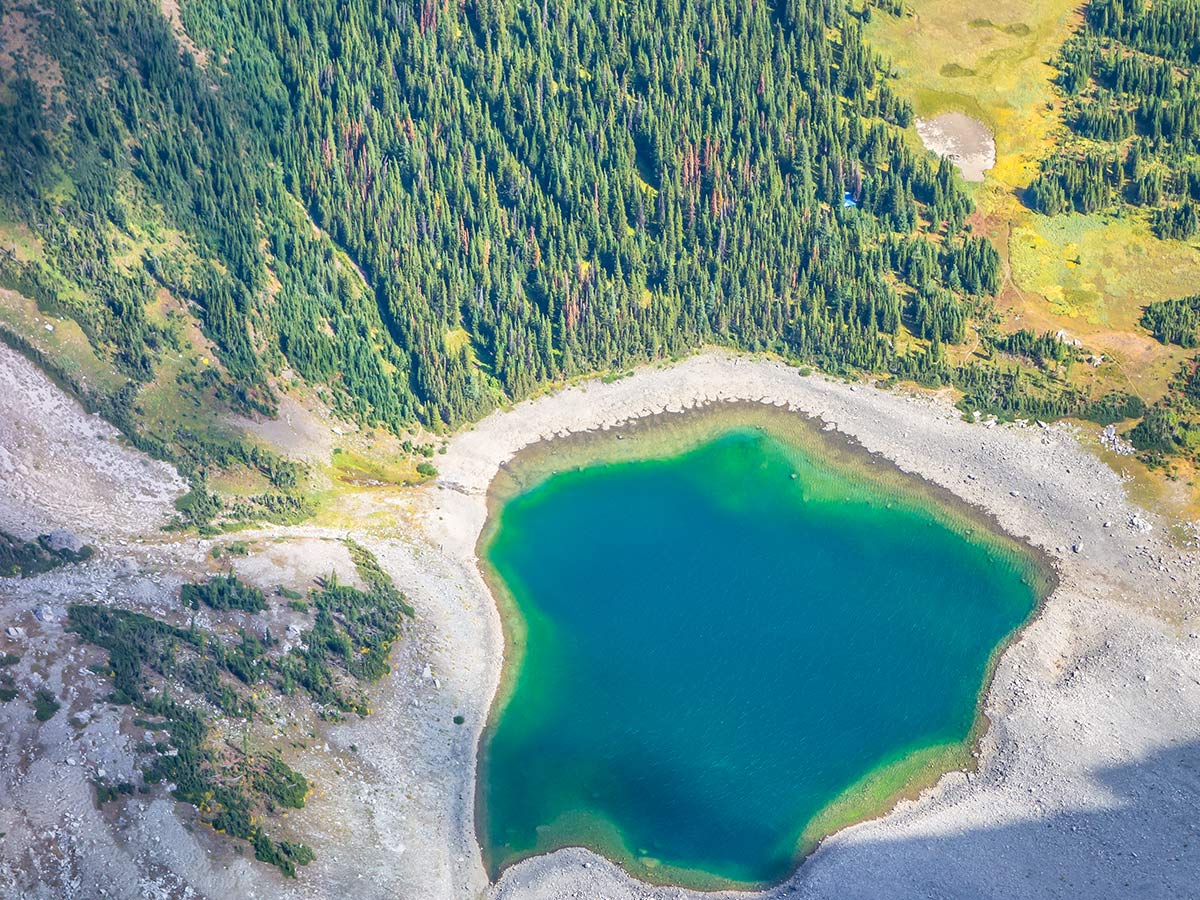
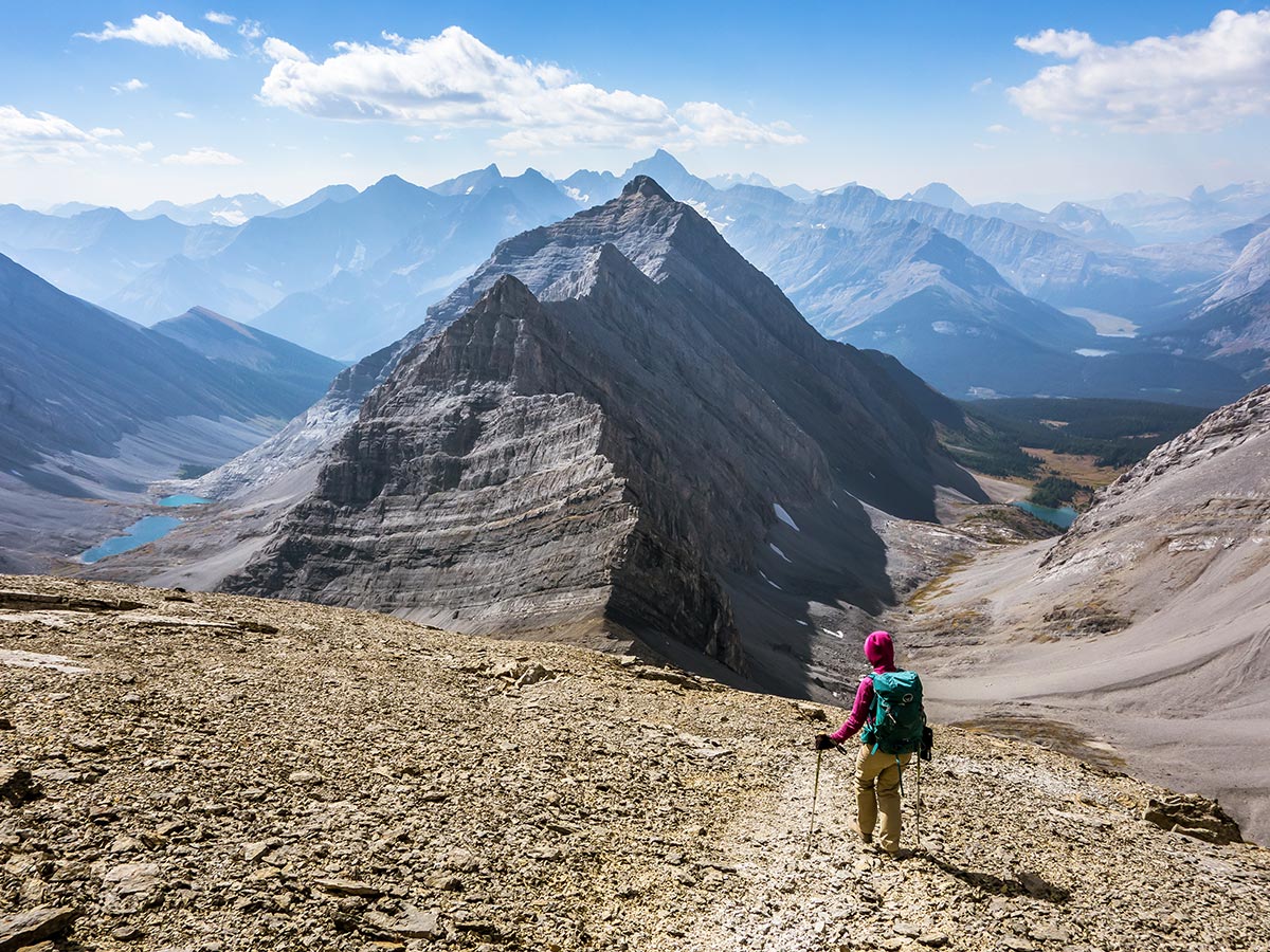
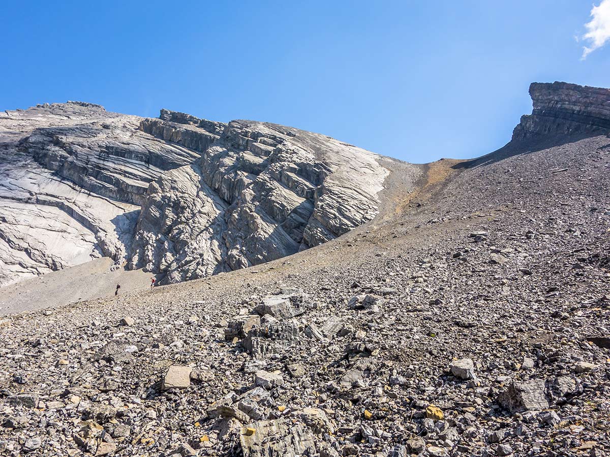
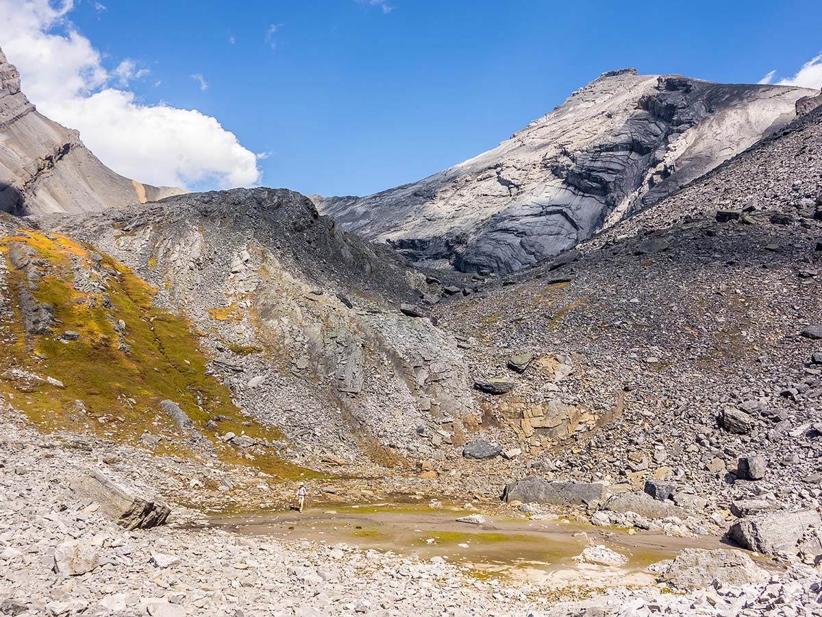
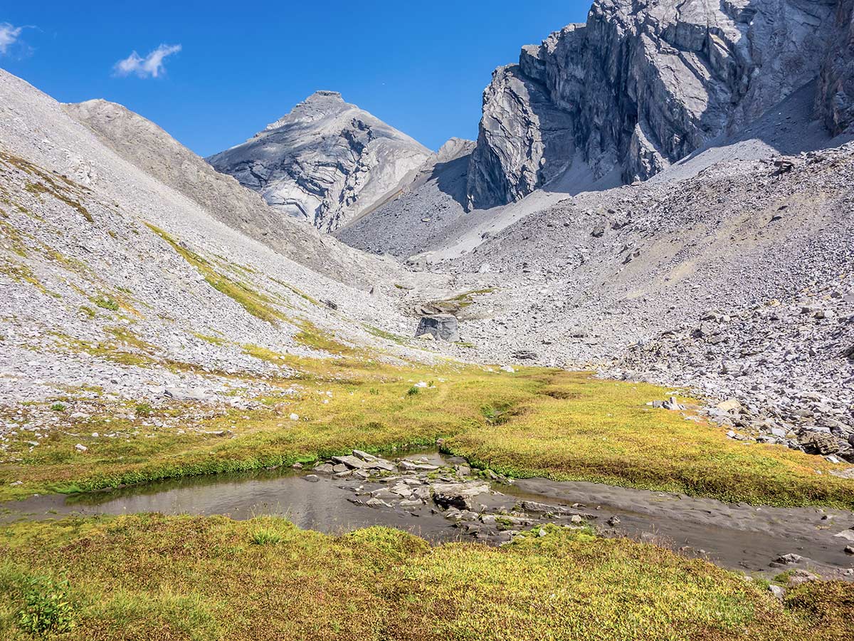
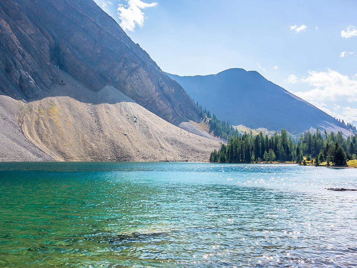
We reached the lakes after about two hours of easy hiking, then continued to the base of the Headwall-Chester col to have a snack in the sun; the Headwall Lakes valley had been entirely shaded and subsequently cool as we’d passed through. After lunch we started up the rubble to the col, which we reached in just 30 minutes. The rubble is not fairly easy as far as rubble goes!
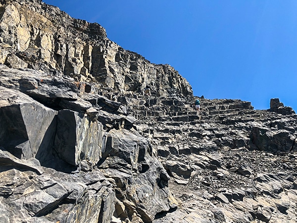
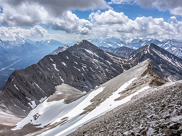
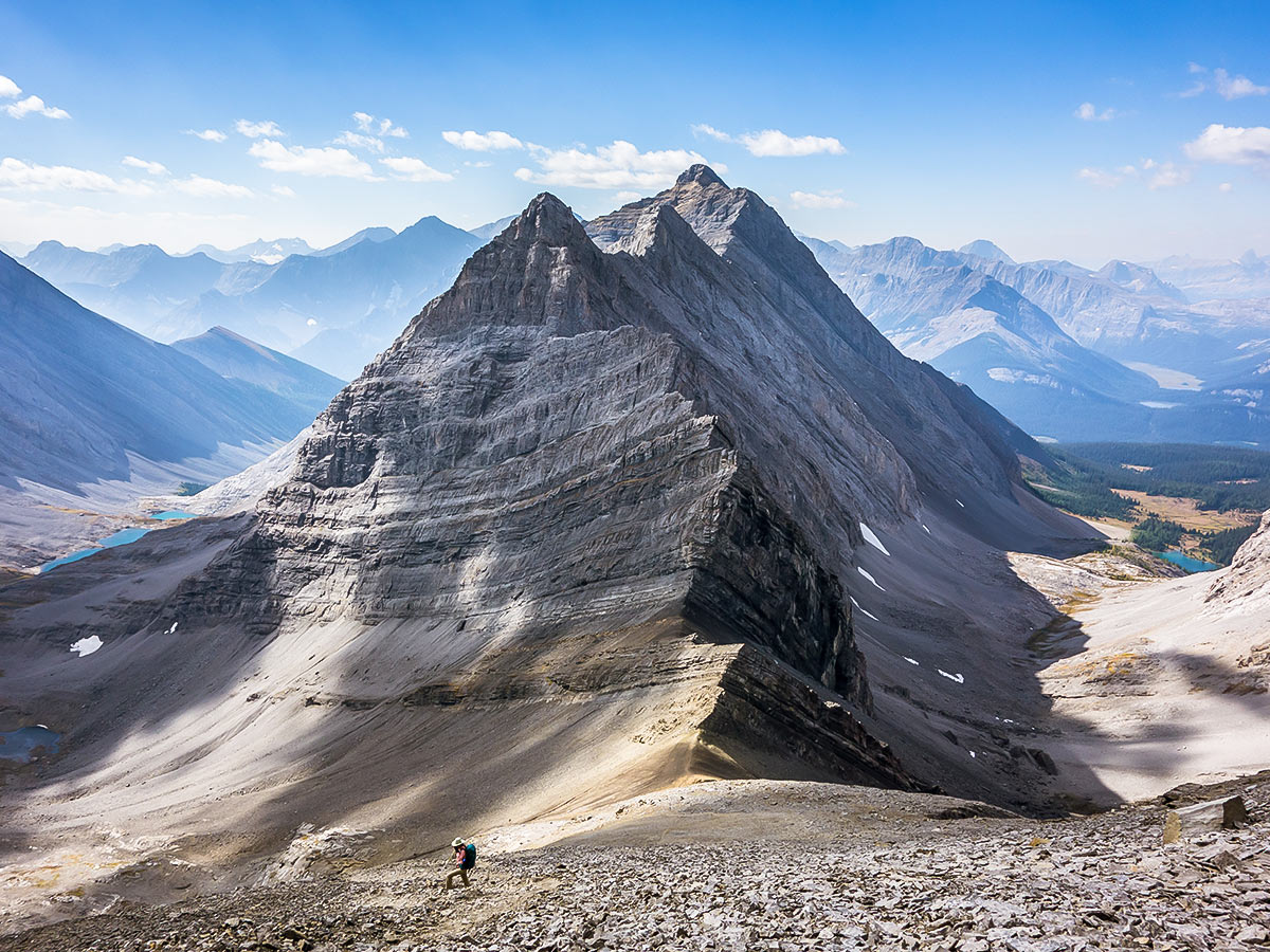
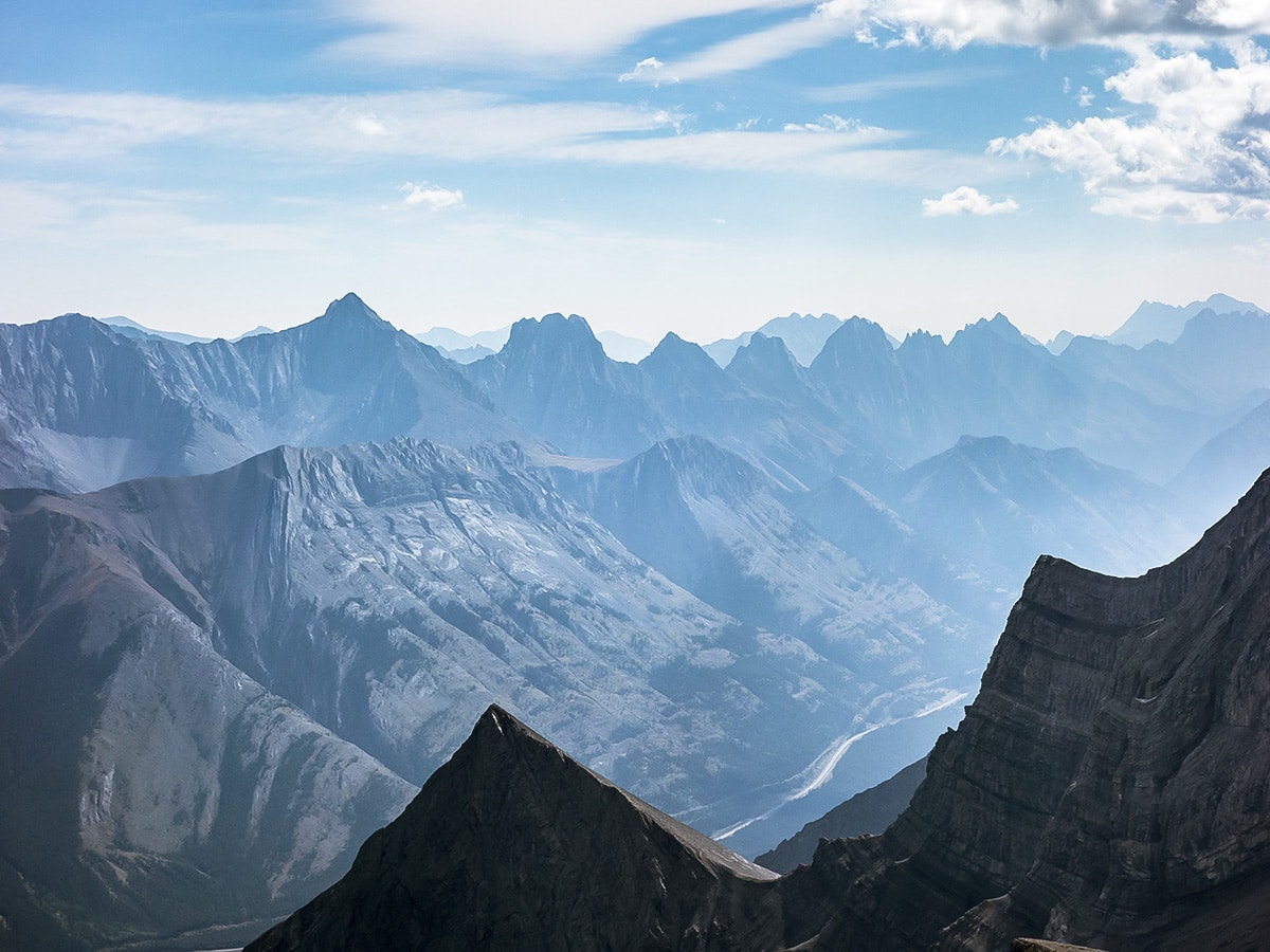
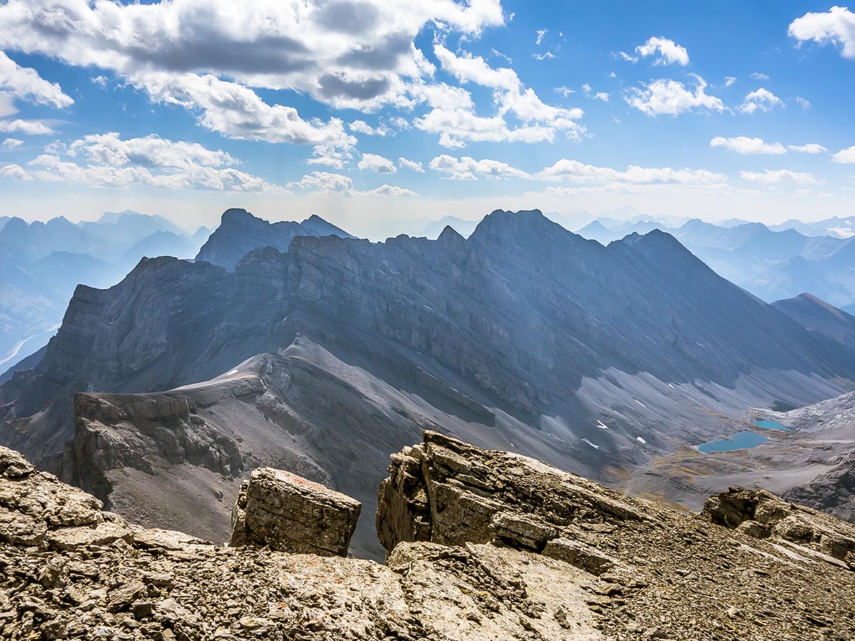
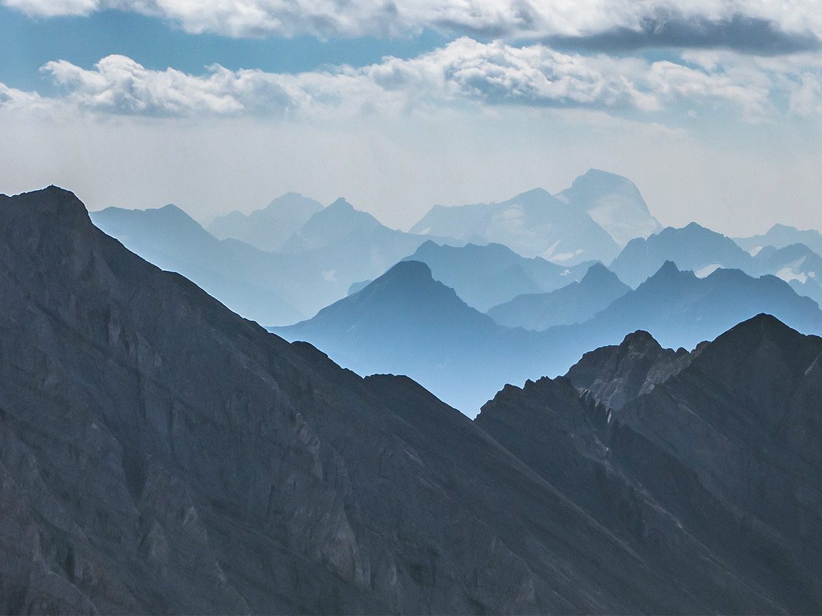
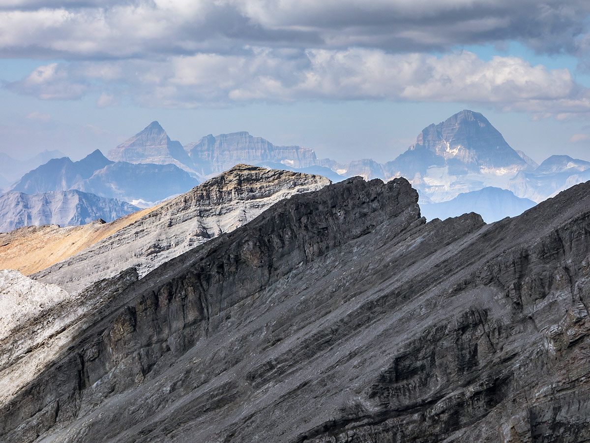
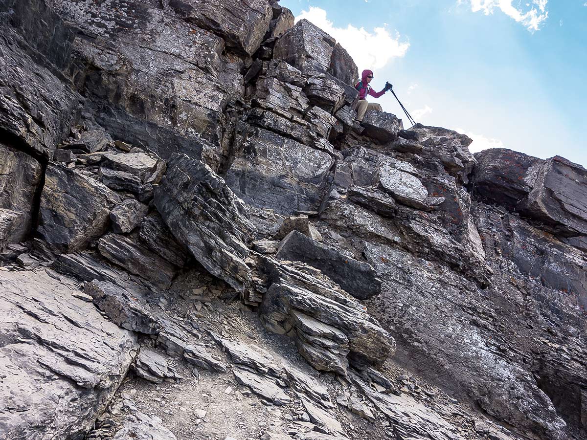
From the col it was an easy plod to the base of the summit block where we had to scramble up a 10ft cliff band to reach the summit. The scramble was mildly awkward as the boulders just weren’t in the right places! The view from the top was spectacular, and while it was smoky, it wasn’t as bad as it has been for much of the 2018 summer.
Despite a gusty wind on the summit we managed to eat lunch behind a small windbreak, then retraced our route back down to the col. Depending on the time of year, the descent down the Chester Lake side of the col will have you in soft, almost sandy, scree nearly the entire way down to valley bottom, or hard-packed mud with short sections of chunky scree! This time it was the latter and the descent was quite miserable, actually, and the kilometer of rock and boulder hopping through the valley bottom to reach nicer trail was equally annoying.
We reached Chester Lake and the insane weekend crowds about an hour after departing the col, then quickly made our way down the trail and past dozens of others to the car. It was an easy and scenic way to spend the day!
Insider Hints
The Chester Lake Trail is closed May to June 29th each year to prevent trail damage.
Get to the parking lot early as the Chester Creek parking lot fills up early on weekends.
Similar Scrambles to the The Fortress Scramble
East End of Rundle Route (EEOR)
Scrambling the East End of Rundle or EEOR is a popular scramble close to Canmore. It is often under-estimated, and…
Mount James Walker
A scramble up Mount James Walker is an engaging adventure! Amazing summit views combine with a beautiful approach beside a…
Grotto Mountain
Scrambling up Grotto Mountain offers a commanding aerial view of Canmore and the Bow Valley. Often thought of as a…


Jack Pimmles 6 years ago
The Fortress is one of my all time favorites
Johnny T 6 years ago
The Fortress scramble was a bit steep but very enjoyable.