


Mount Howard Scramble
View PhotosGetting there
Take Highway 66 west. 5.8mi after the turnoff to Elbow Falls, take the right-hand turn onto Powderface Trail. Follow this gravel road for 8.9mi, and park in a turn-off on the right-hand side.
About
| When to do | May - November |
| Backcountry Campsites | No |
| Toilets | Little Elbow campground |
| Pets allowed | Yes - On Leash |
| Scarmbling Rating | Grade 1 |
| Exposure | None |
| Family friendly | Yes |
| Route Signage | None |
| Crowd Levels | Low |
| Route Type | Out and back |
Mount Howard
Elevation Graph
Weather
Route Description for Mount Howard
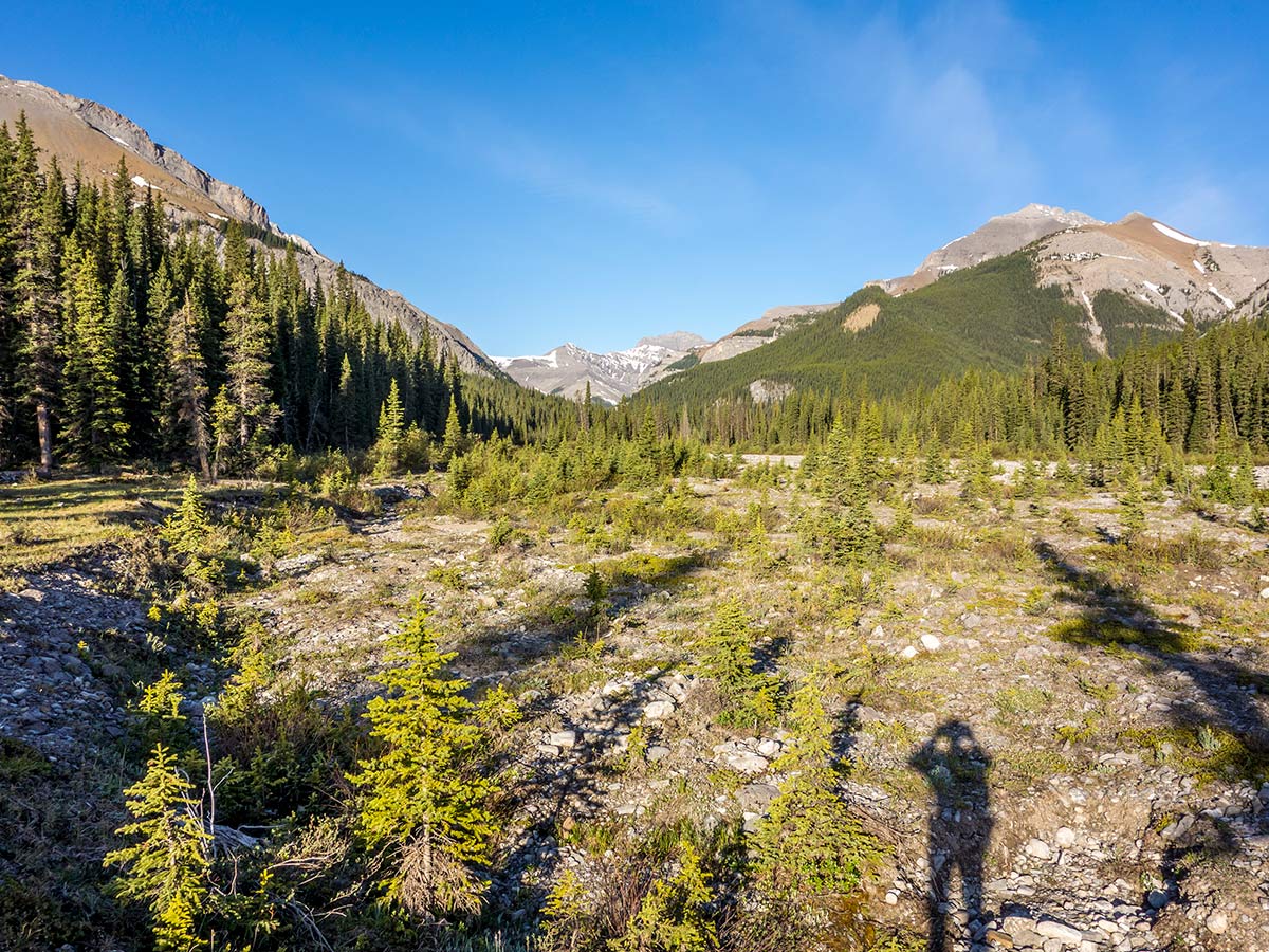
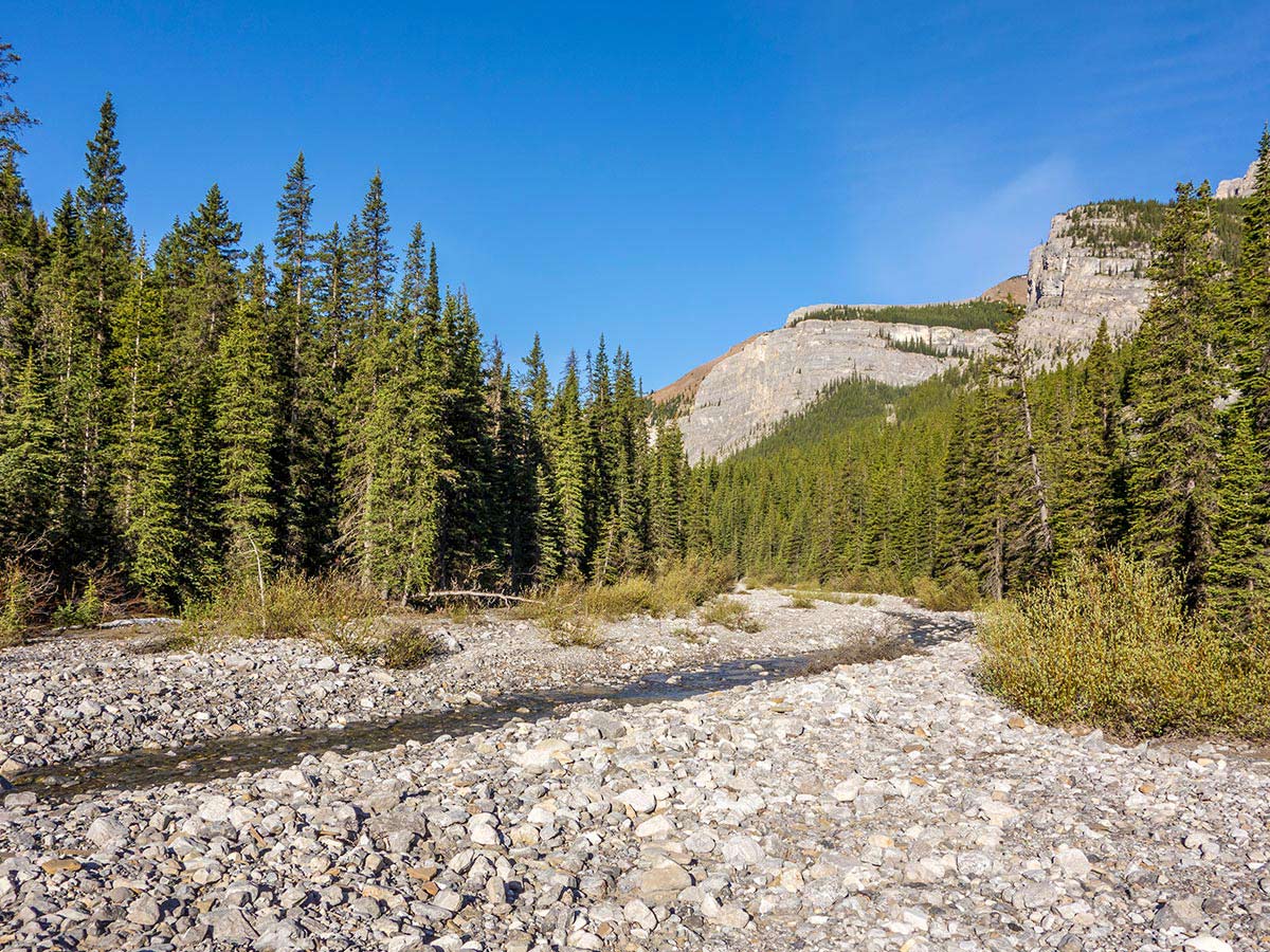
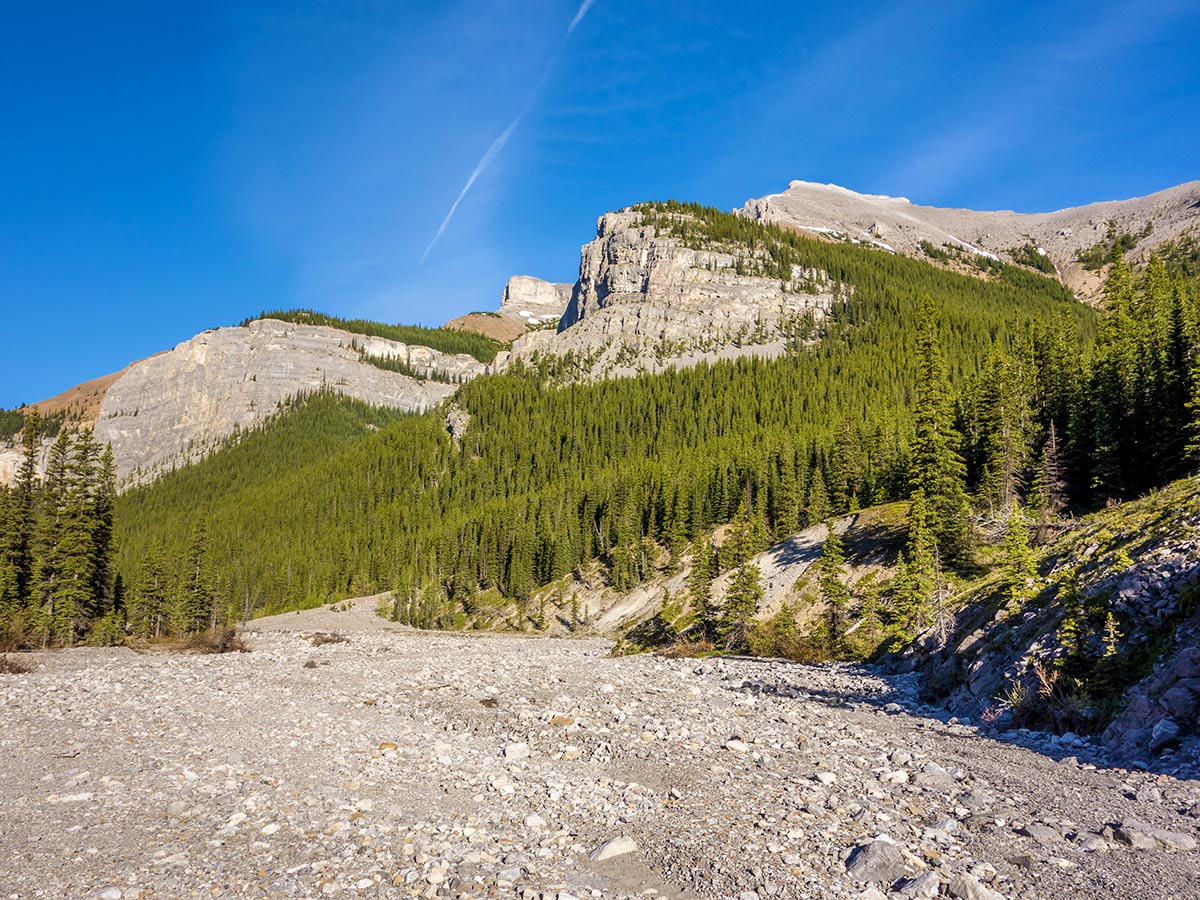
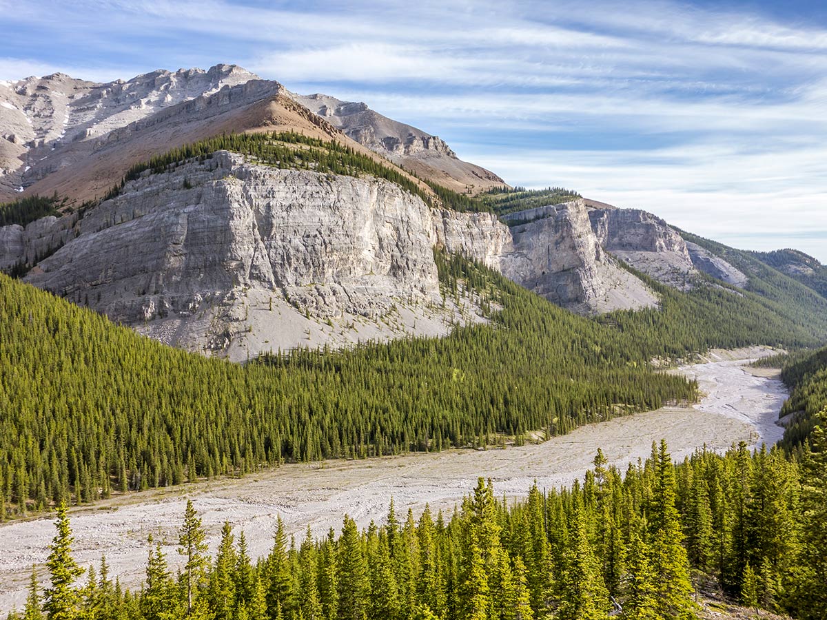
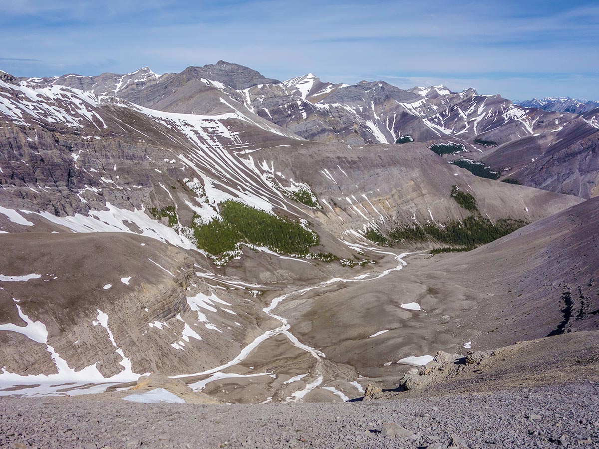
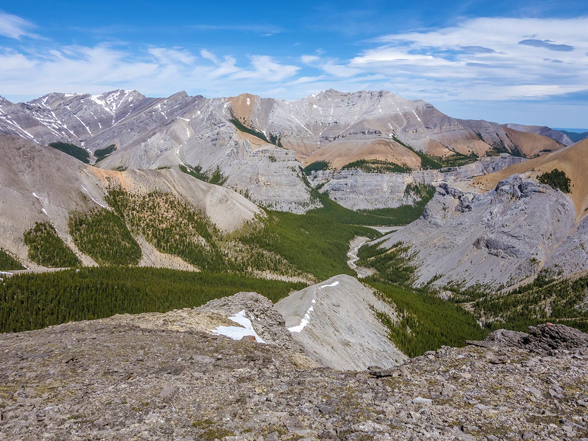
Start hiking up along the dry Canyon Creek flats. The scenery along the creek bed is surprisingly nice, especially the colorful rock and sheer cliffs of Mount Bryant to the north.
After 3.1mi of hiking along the creek bed, equally split between pleasant hiking on old vegetated river flat and river rubble from the 2013 flood, there is an obvious ascent ridge to start up. A reasonably good trail leads the way through the forest.
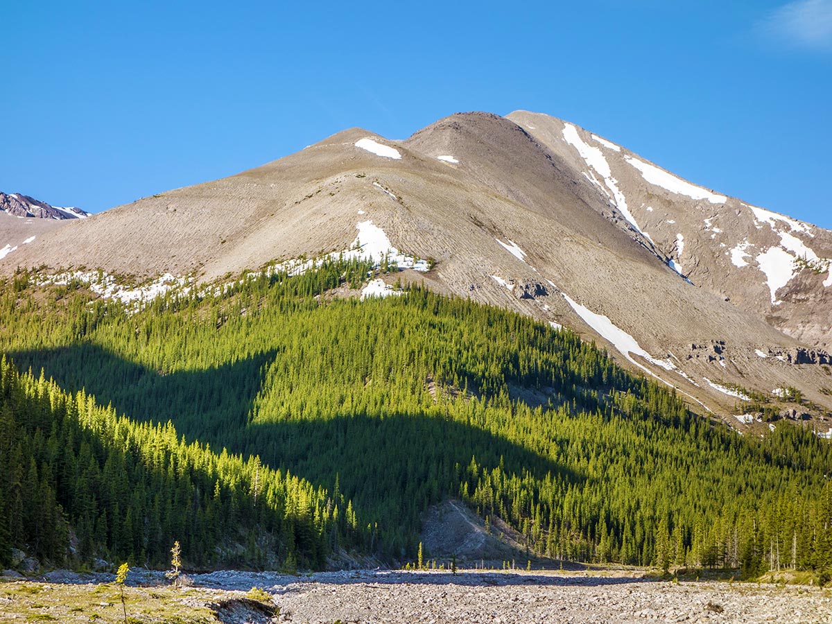
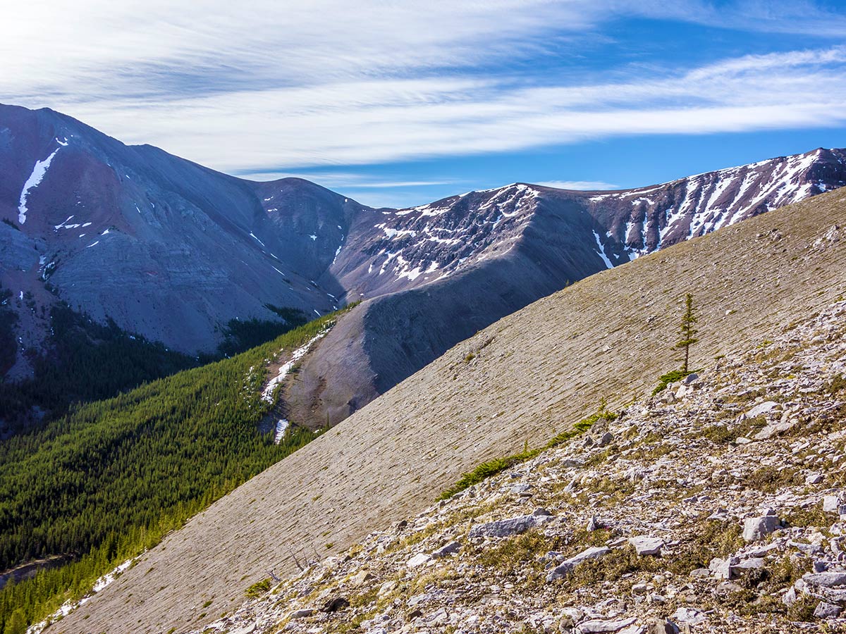
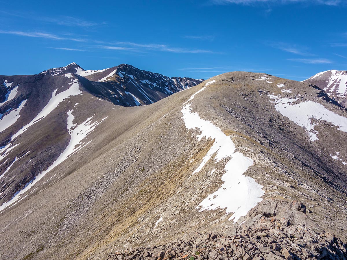
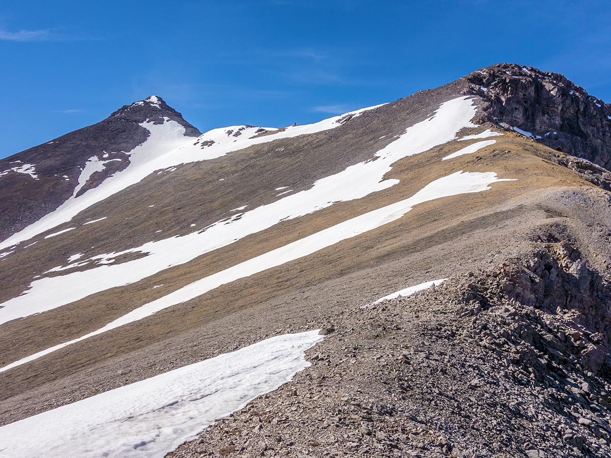
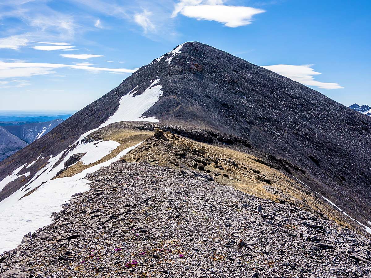
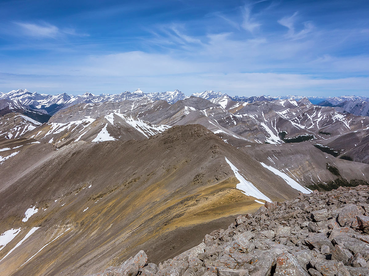
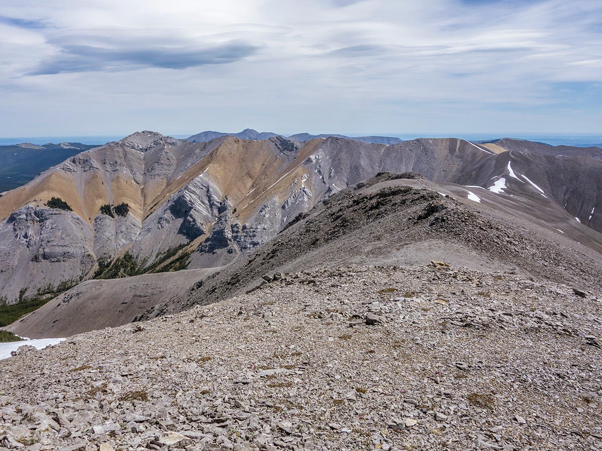
The slope steepens significantly at treeline, but remains a simple hike. Fortunately, a light breeze and hats filled with snow kept us cool. This is definitely a hike to do in decent weather and with tolerable wind as it’s over 2.5mi of hiking along a ridge from treeline to the summit. The ridge had several highpoints, but the descent off each was always much less than it seemed from a distance.
The final high point before the summit has a good bypass trail to follow. You can then choose between a somewhat steep slope, or ascend along the ridge. The ridge has unstable rubble, but depending on how much snow is around may be the better option, and was the option we chose.
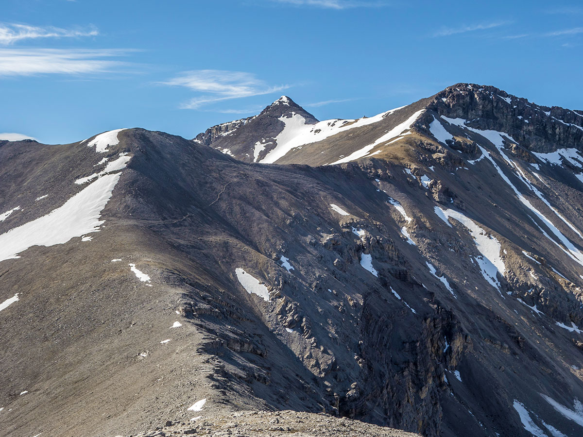
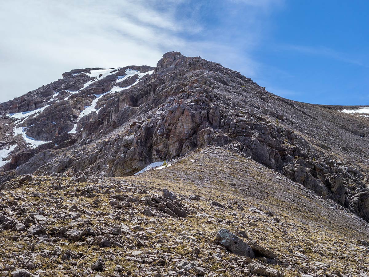
Once past the messy rubble the easy ridge walk resumed, and you quickly reach the base of the summit bump. The final ascent was easy until we encountered an icy snow patch just below the summit. Unfortunately, it was frozen solid and not safe to walk on without crampons, which we didn’t have. Fortunately, there was some snow free bedrock, which was a moderate scramble to the summit.
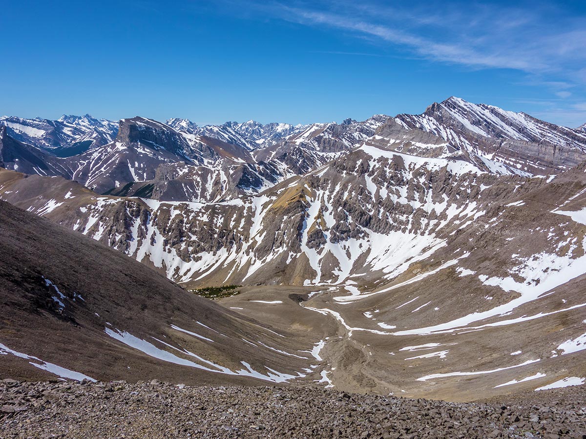
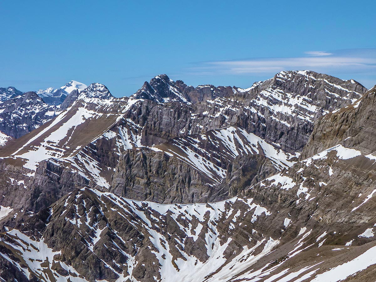
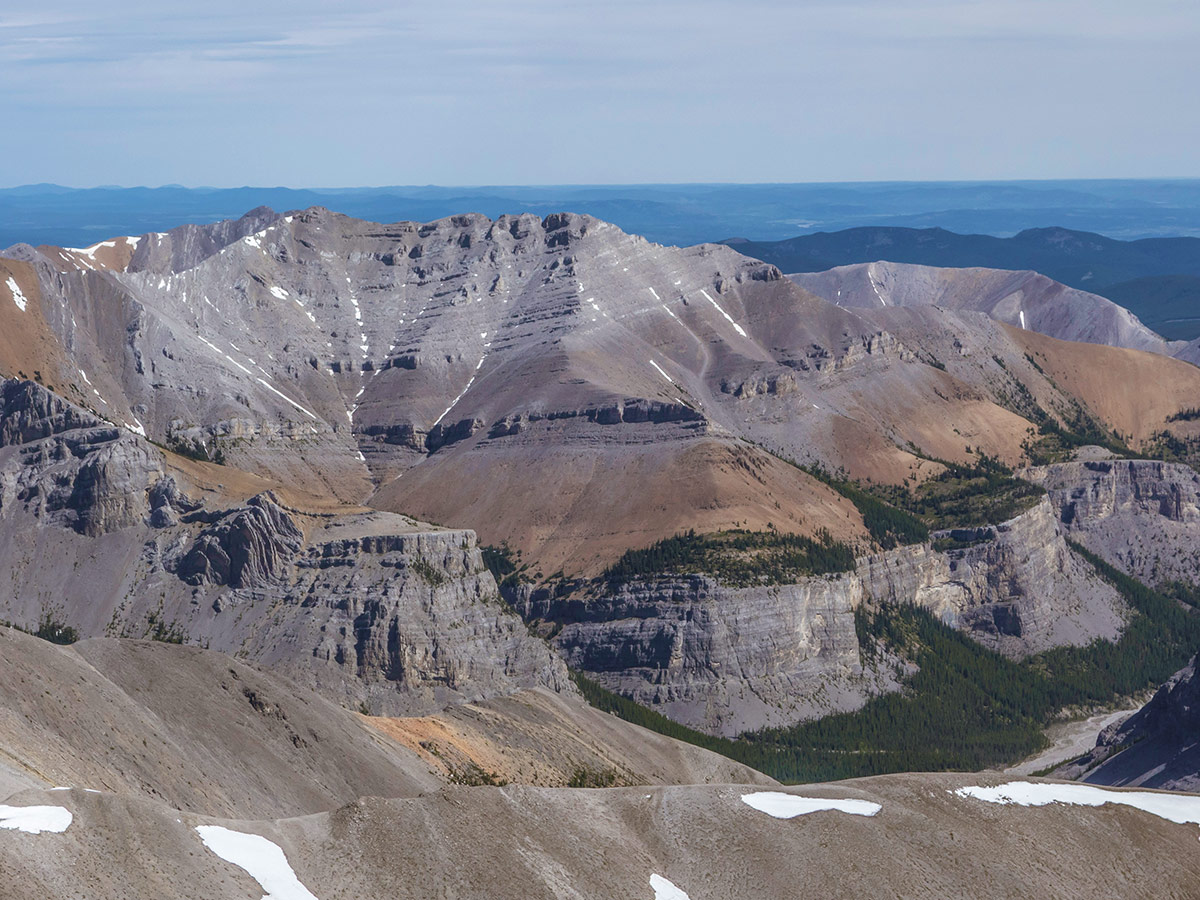
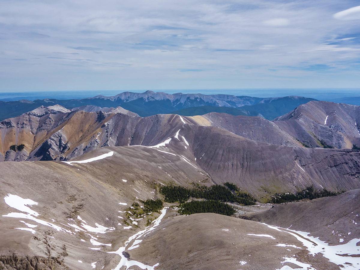
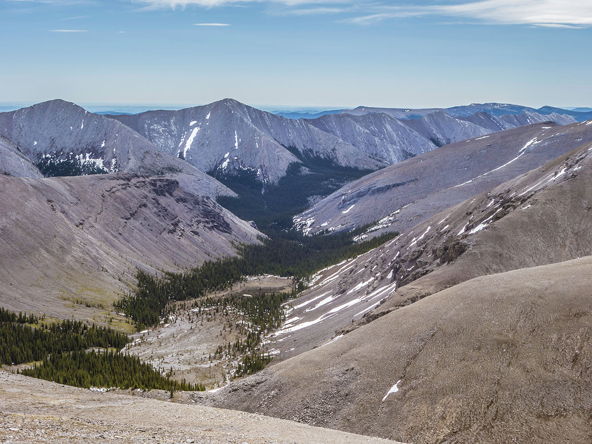
The view from the summit was spectacular. The snow remaining on the surrounding mountains and in the valleys was beautiful, and the green forest, grey slate, orange scree, and blue sky complemented the whole scene.
On the way down from the summit we found a very easy route around the bedrock we had scrambled up earlier, then crossed the snow slopes from earlier. Continue east along a ridge leading towards Compression Ridge before descending on a ridge heading north and following a minor creek bed back to Canyon Creek. If it is a hot day, wet your hat in Canyon creek and stay cool for the rest of the hike out.
Insider Hints
Check the weather before you go, above the tree lines the hike is completely exposed and lightning storms are frequent.
Similar Scrambles to the Mount Howard Scramble
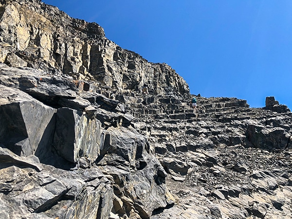
East End of Rundle Route (EEOR)
Scrambling the East End of Rundle or EEOR is a popular scramble close to Canmore. It is often under-estimated, and…
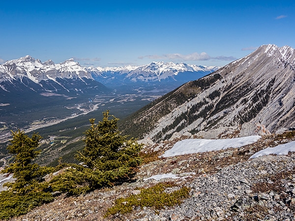
Grotto Mountain
Scrambling up Grotto Mountain offers a commanding aerial view of Canmore and the Bow Valley. Often thought of as a…
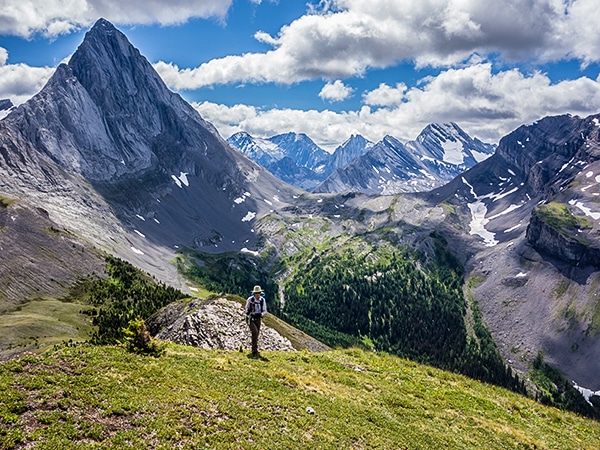
Smutwood Peak
Scrambling Smutwood Peak offers spectacular views of the two jagged mountains from which it derives its name: Mount Smuts and…


bigfootJOE 6 years ago
Mount Howard is a great scramble. It's on the easier side of the difficulty level. So it was perfect for me.
Wicked T 6 years ago
It really has some great views. Took lots of pictures. Great for beginners as well. Wasn't too hard of a scramble.
Cykelly 6 years ago
The ridge walk was really something. It just opens up the landscape beautifully.