


Mist Mountain Scramble
View PhotosMist Mountain Scramble
Difficulty Rating:
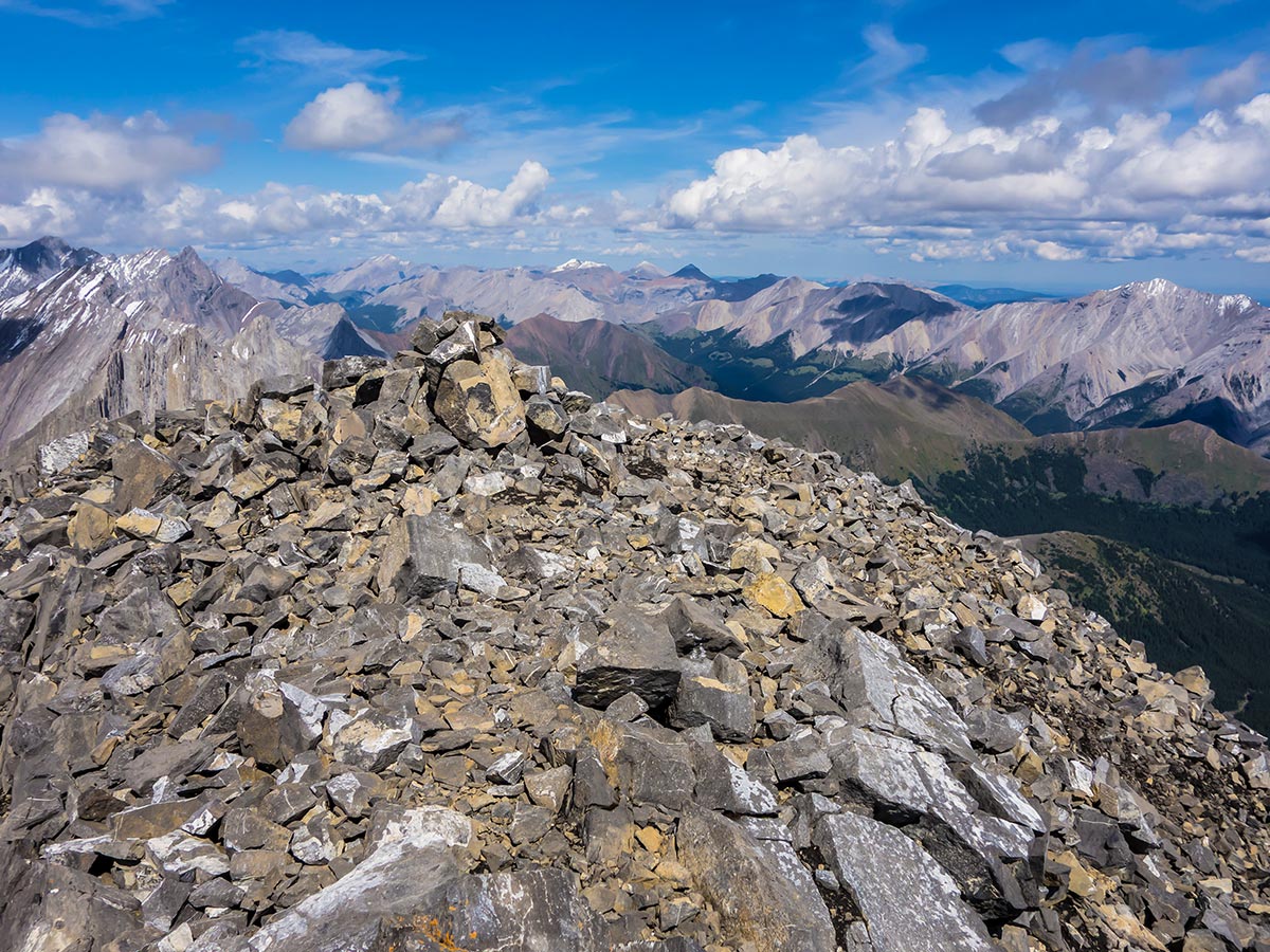
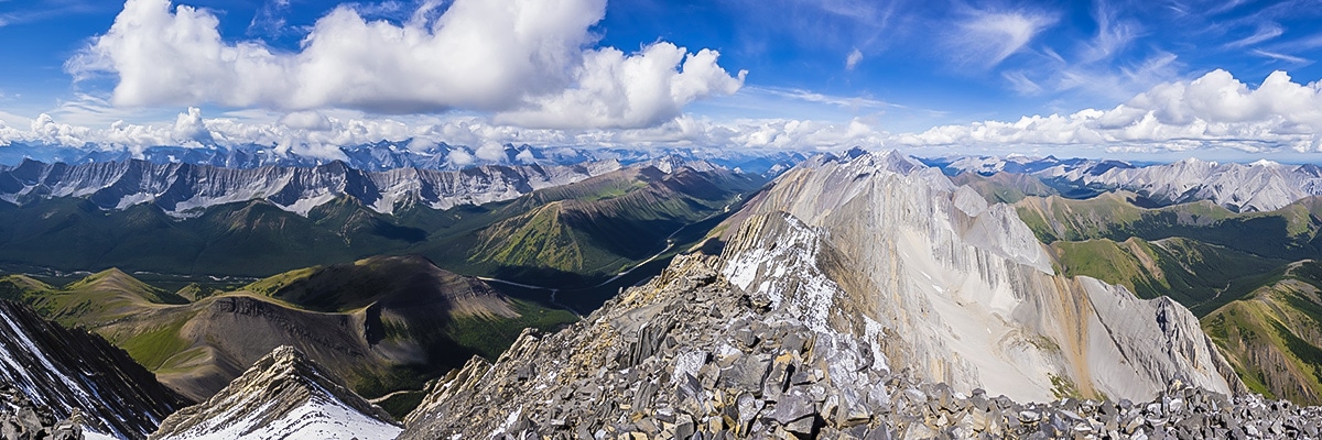
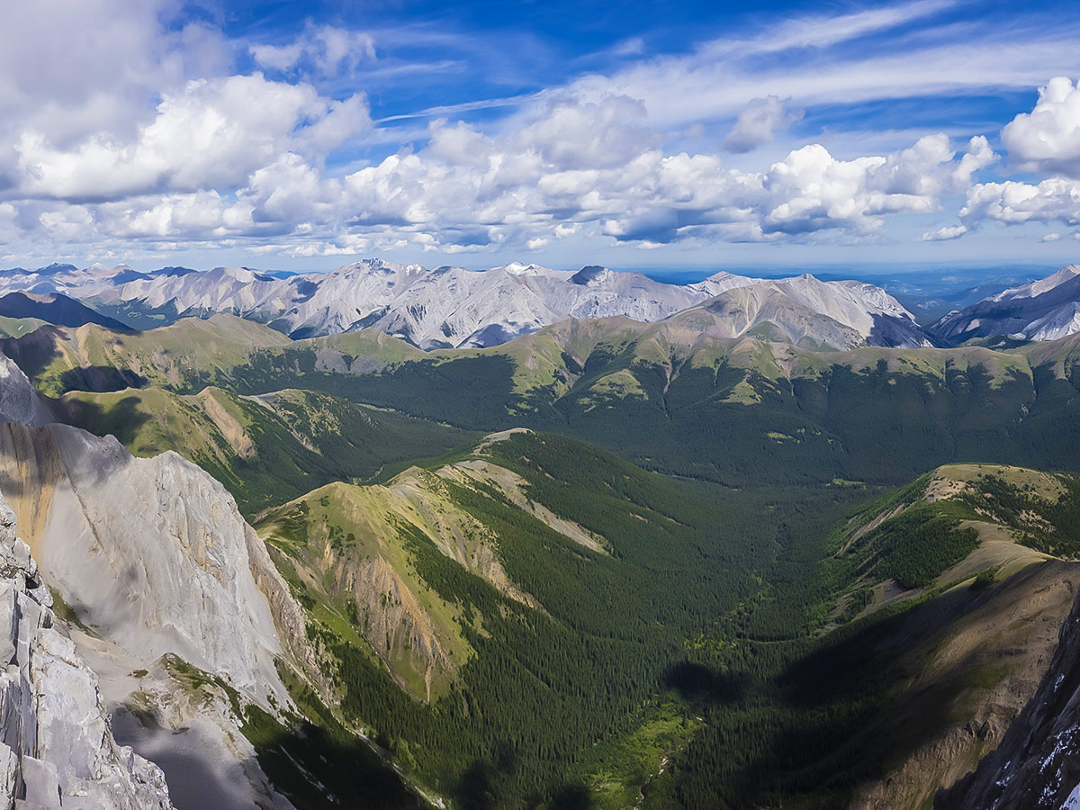
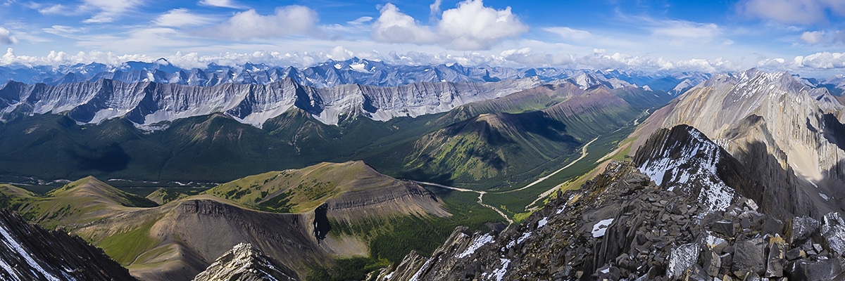
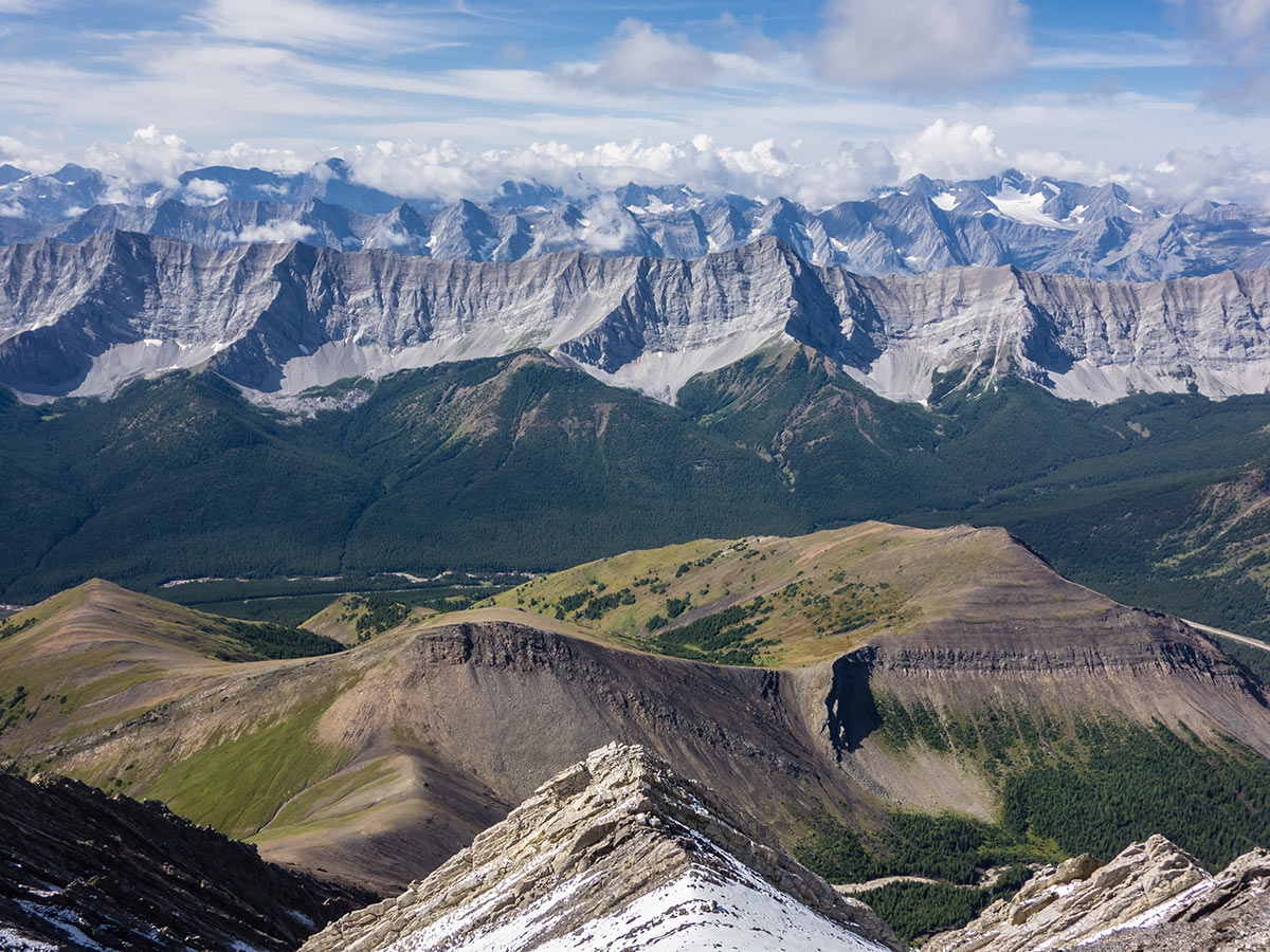
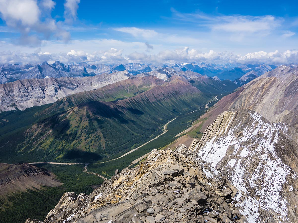
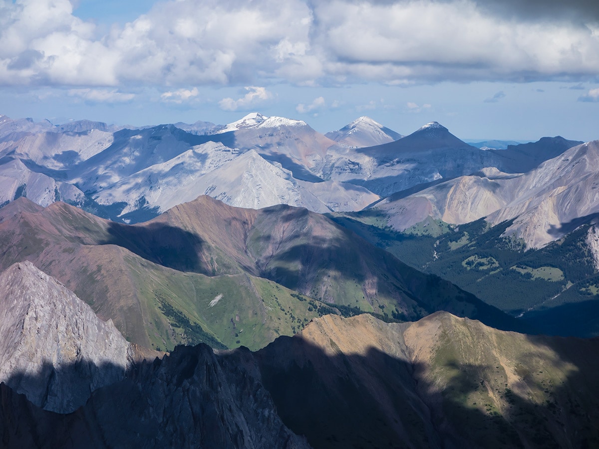
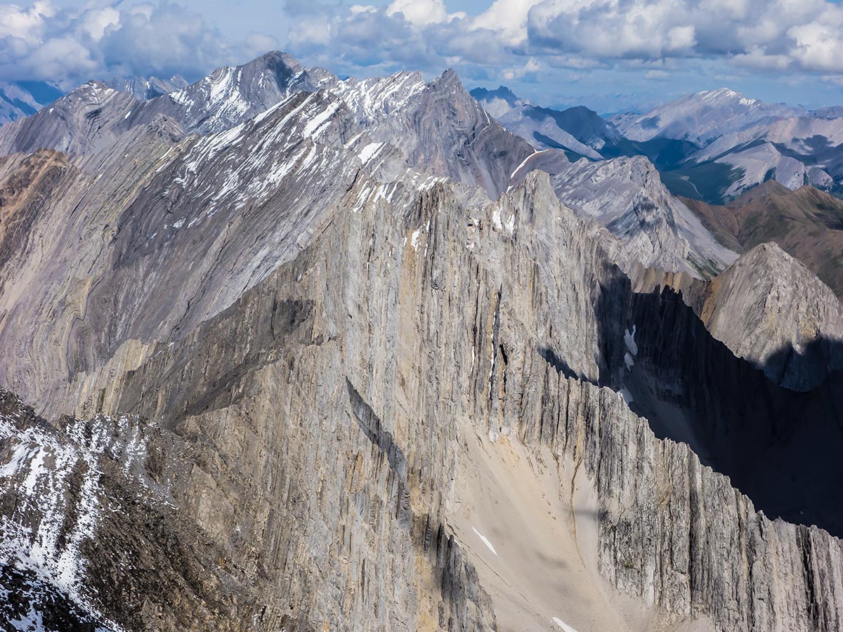
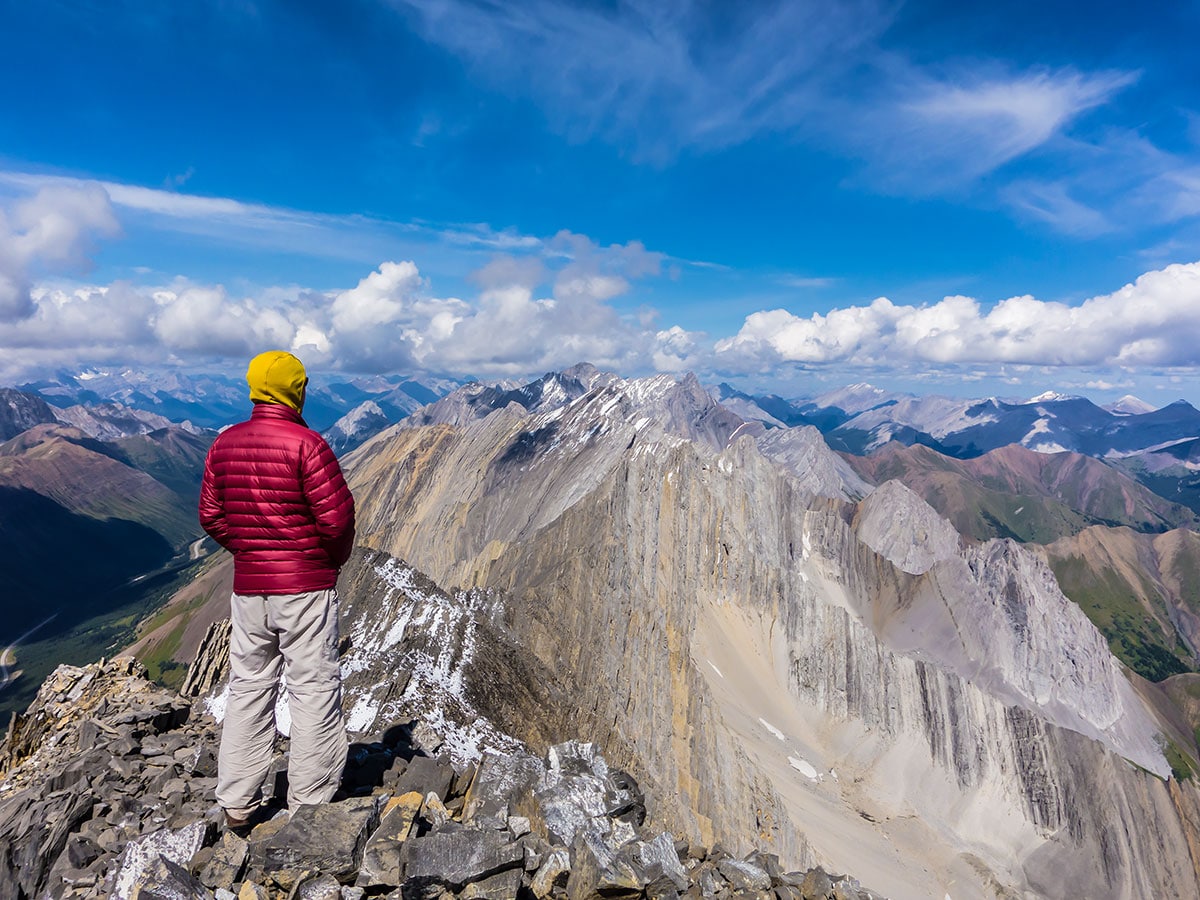
Scrambling Mist Mountain takes you up the largest peak in the immediate area, which is a sure-fire guarantee for an awesome summit view! Not only that, but scramble route is a scenic and pleasant approach that can’t be beat.
Getting there
The common hikers route up Mist Mountain begins at a grassy pullout (currently no grass, just mud) on the north side of Highway 40, 8.1mi south of Highwood Pass or 15.5mi west of Highwood Junction.
About
| When to do | July - September |
| Backcountry Campsites | No |
| Toilets | Several Day Use Areas Along Highway 40 |
| Pets allowed | Yes - On Leash |
| Scarmbling Rating | Grade 1 |
| Exposure | Mild |
| Family friendly | Yes |
| Route Signage | None |
| Crowd Levels | Low |
| Route Type | Out and back |
Mist Mountain
Elevation Graph
Weather
Route Description for Mist Mountain
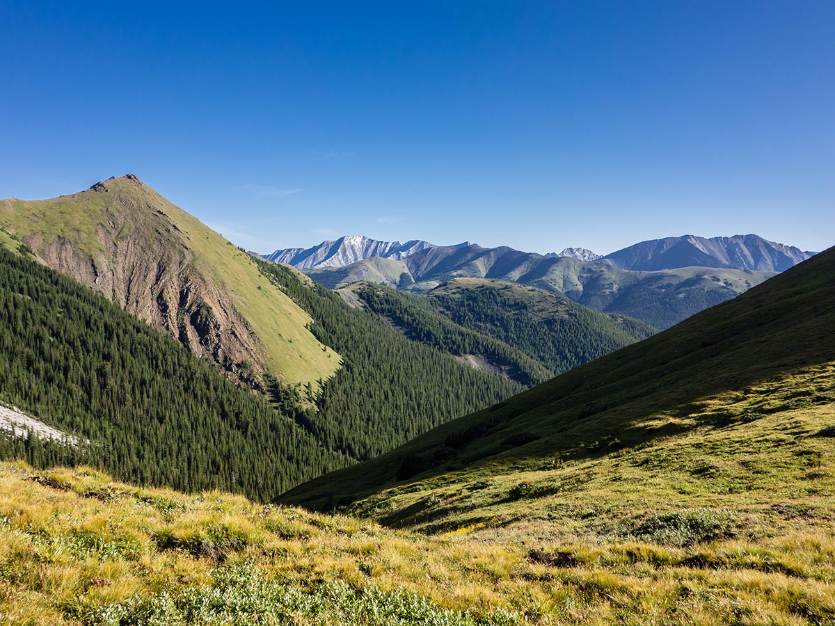
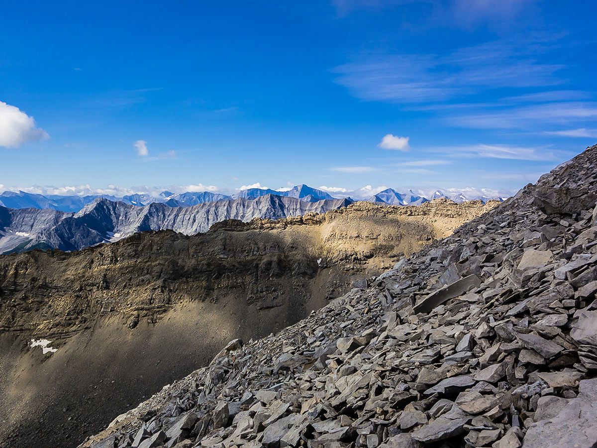
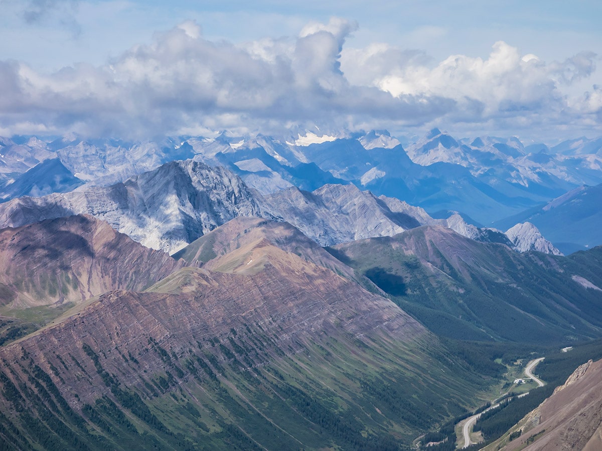
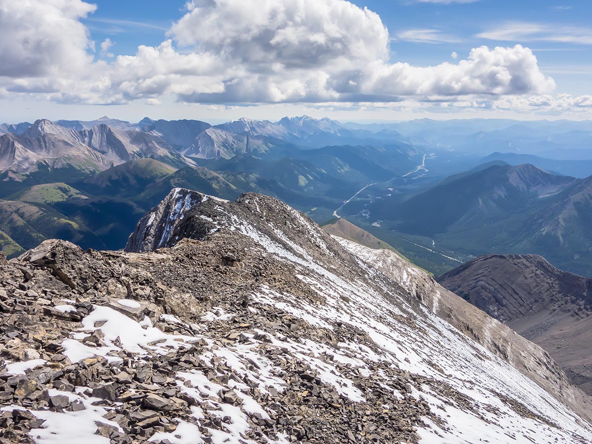
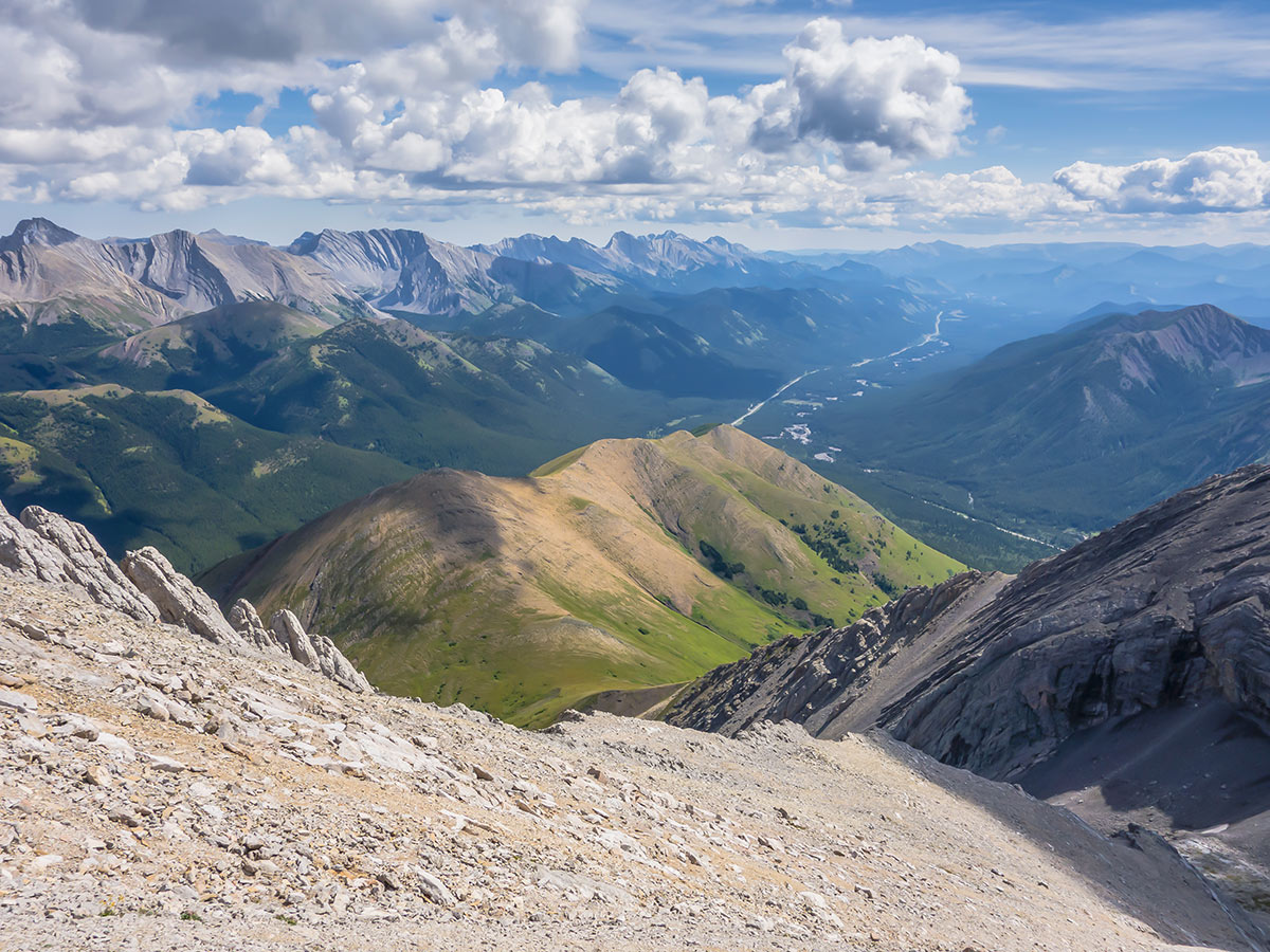
At 10302ft, Mist Mountain is the highest mountain east of Highwood Pass and thus offers outstanding views of the area. It is also a very easy scramble, requiring no more than stamina and a tolerance for scree.
The common hikers route entails following an overgrown logging road for 0.6mi and crossing a flood damaged stream. On our return we ignored this logging road, instead continuing south on an excellent and obvious trail beginning where the old logging road intersects the trail starting up Mist Mountain. We reached the highway 1969ft east of the usual starting point and noted that the beginning of this trail was marked with a piece of flagging on a small aspen tree. It is a far superior option to the usual route and there is plenty of space to the side of the highway to park. There is also an odd paved pullout about 984ft east of this point which could be an alternate parking point.
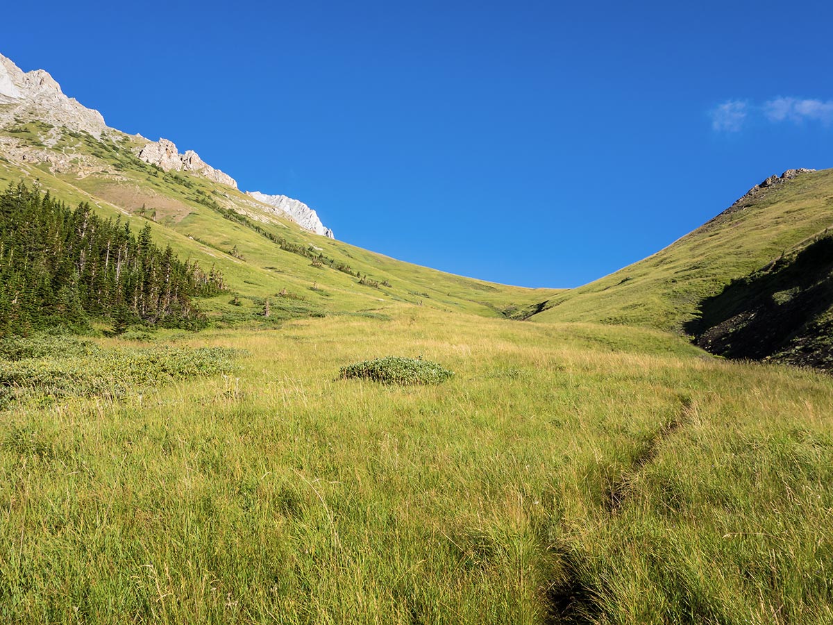
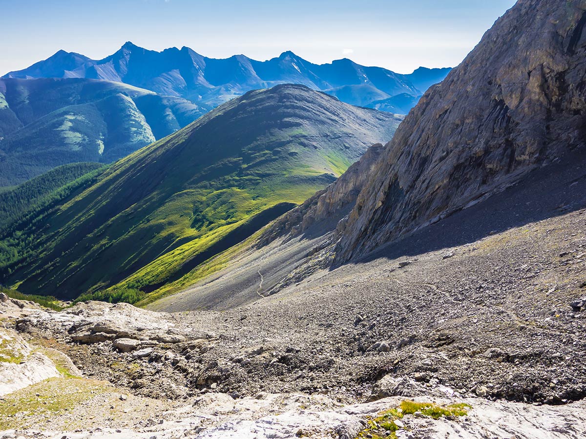
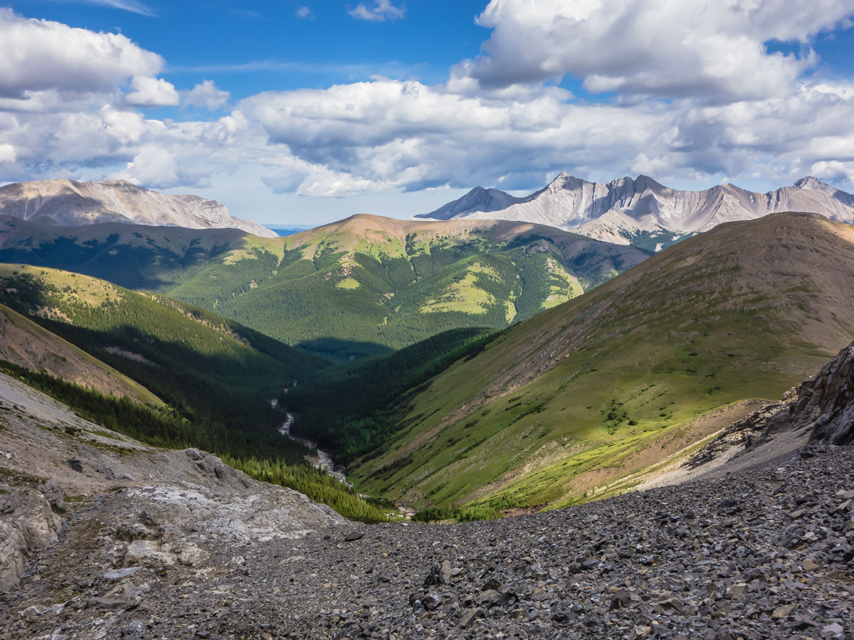
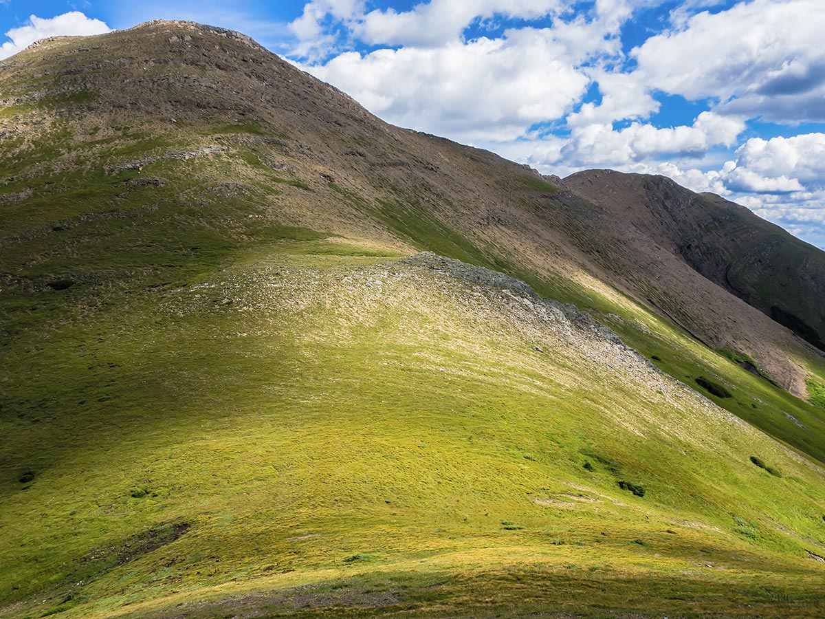
From this starting point the trail ascends north for 1.9mi, first gently through forest and then more steeply up a grassy valley to a pass between “Nameless Ridge” to the east and a southern ridge of Mist Mountain to the west. From the pass, ascend the grassy bump to the left (west) and then follow a good trail along scree slopes towards the rocky bowl, south of Mist Mountain.
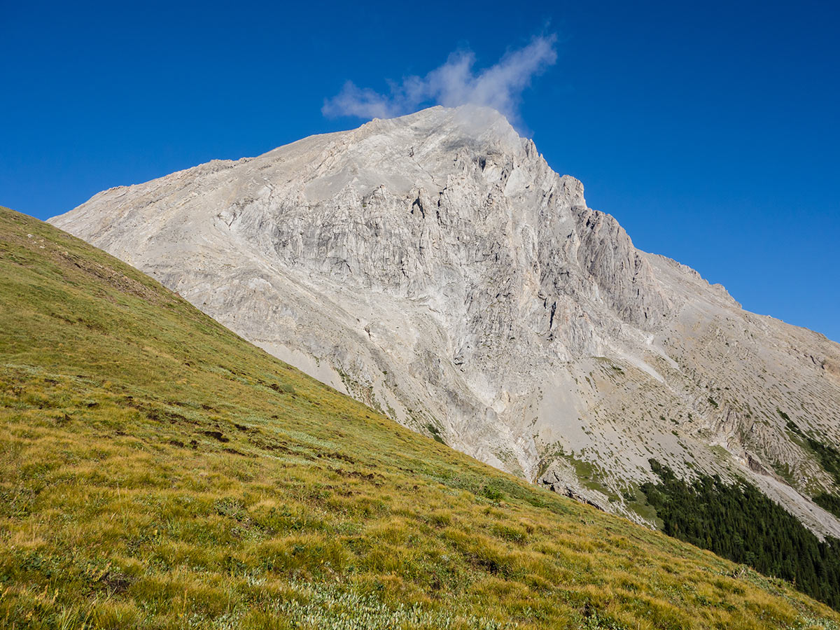
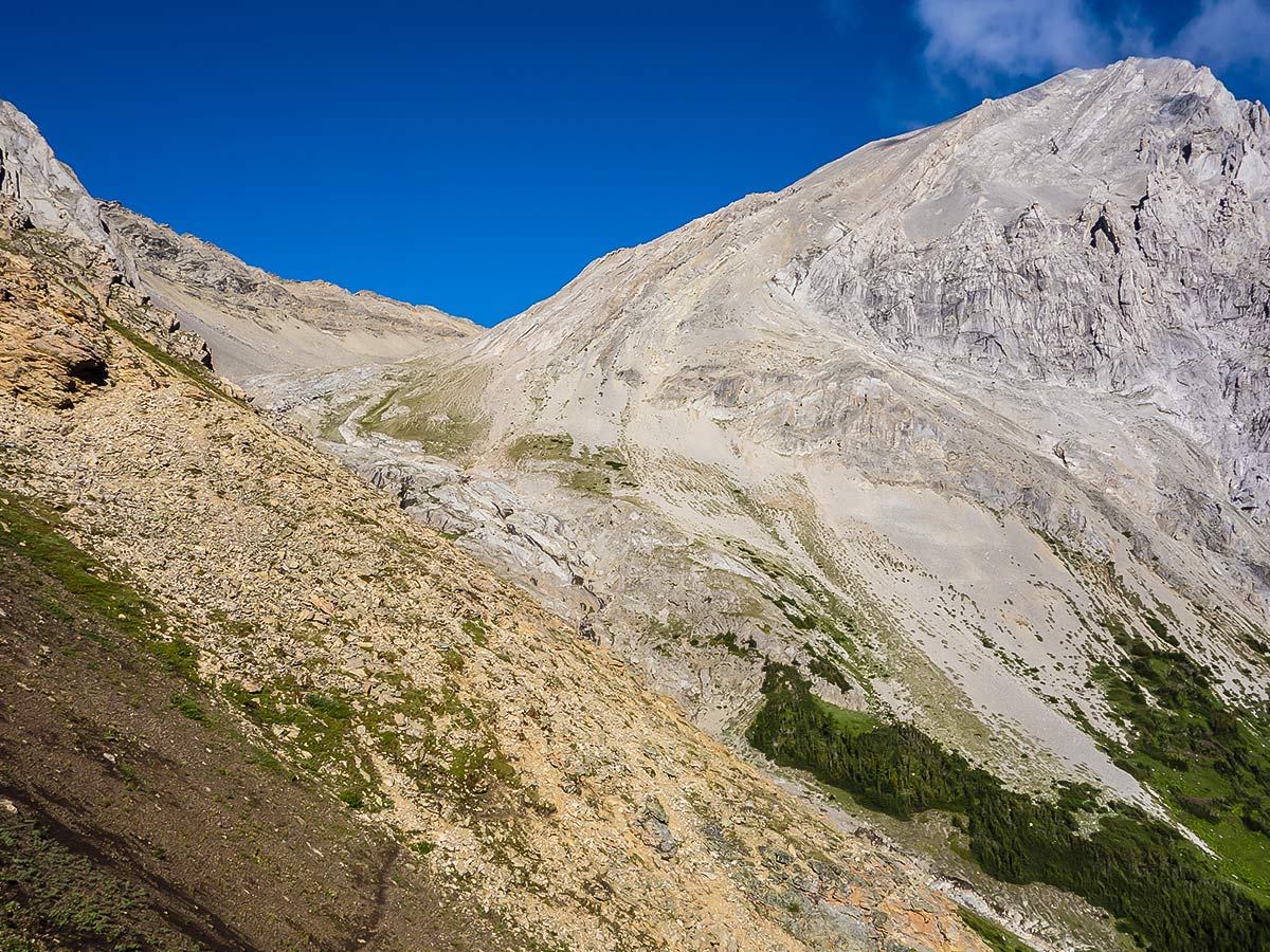
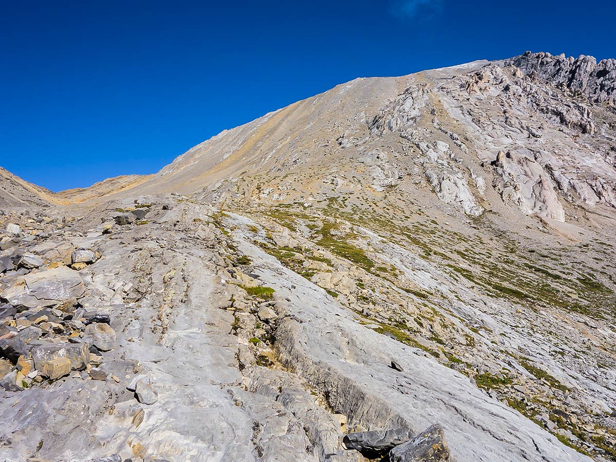
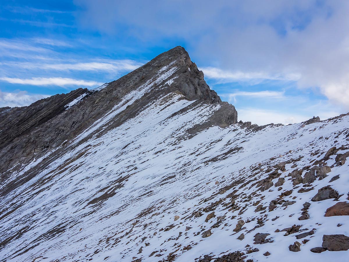
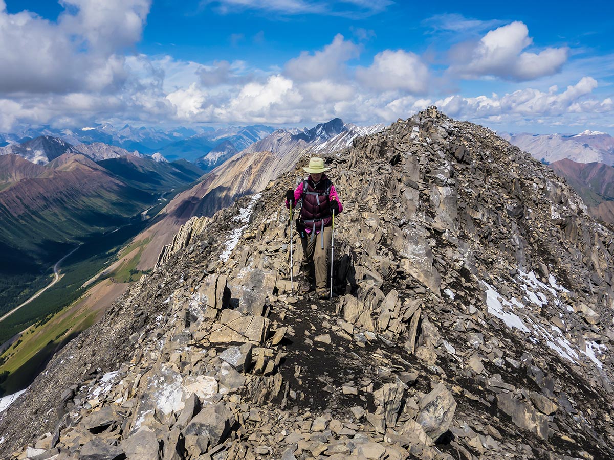
Shortly past where a stream materializes from the scree near the entrance to the rocky bowl begin ascending Mist Mountain. You have your choice of loose small scree, big mostly stable scree, or solid, grippy bedrock on which to ascend 1640ft. It’s tedious, but technically easy. If all goes well, you’ll arrive on top of the southeastern ridge of Mist Mountain. The summit ridge extends to the northwest and from this vantage looks impossibly steep, but at its steepest is no steeper than what you just ascended. Just choose your route carefully as similar scree qualities exist as did earlier on the ascent. Also note that the actual summit is not what appears to be the summit from this vantage, but is rather just a short distance further.
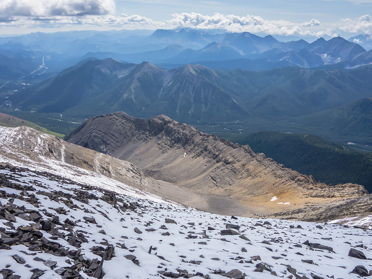
It is possible to descend the summit via scree slopes that begin to the southeast of the summit and deposit you at the back of the rocky bowl in which you started the final ascent. This route, however, was snow covered while we were there and thus we chose to descend the same way as we ascended, sticking as much as possible to the small loose scree to make the descent much faster and more fun.
Insider Hints
The entire Highwood Pass area, including the southern portion of Highway 40, is closed from December 1st to June 14th each year.
Highwood House is the closest place to stop for a snack after the hike.
Similar Scrambles to the Mist Mountain Scramble
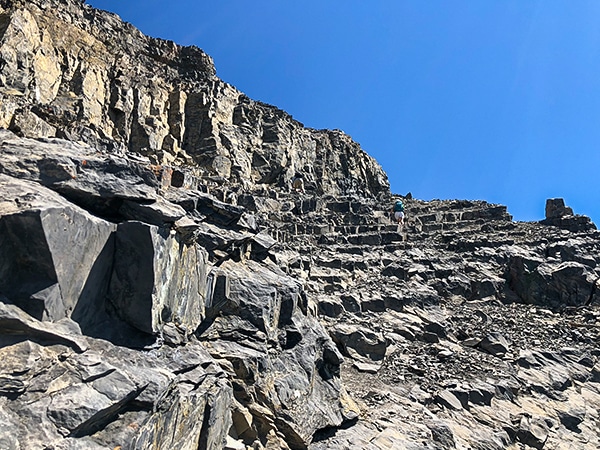
East End of Rundle Route (EEOR)
Scrambling the East End of Rundle or EEOR is a popular scramble close to Canmore. It is often under-estimated, and…
Mount Howard
The views from the summit of Mount Howard are as spectacular as any, but it is the long and wonderfully…
Grotto Mountain
Scrambling up Grotto Mountain offers a commanding aerial view of Canmore and the Bow Valley. Often thought of as a…


Charles R Cotton 6 years ago
Beautiful hike and scramble with some fun challenges and wonderful views. The trail and scramble route are exposed to sun for about 90%. Closer to 14km total with summit and fun scree run. Approx 6 hours total with short food and pic stops. Recommend gloves for some scramble and scree sections. Poles are helpful, too. Experienced full-day scramblers will find it straightforward (perhaps easy?). Newer scramblers/hikers will be challenged for sure :) These tips/times may be helpful for those summiting in good weather with minimal or no snow. 1. Park 200m west of the roadside pullout on Highway 40 (about the 4th white road stick from the pullout). Look for a spruce tree with orange tape and an aspen tree with orange tape, 10-15m in is a small 10" metal rod with orange tape marking the start of the trail. 2. Hike along for approx. 1hour to a grass saddle area (Nameless Pass) and head left up the saddle. 3. Locate the trail and continue on for approx 45-60min to above a small waterfall area. Likely some snow there as well. (NB: halfway along this trail there is a branch running off to the right (east) to go to the hot springs approx 500m away across the stream) 4. Above the waterfall either find a small path heading right or make your own up the scree to the southeast summit and ridge. Approx 45-75min up depending on fitness and conditions. (NB: Really don't recommend going straight ahead from the waterfall/snow area and trying to hike up the scree bowl under the true summit. We saw some people really struggle with that route as the scree is quite loose.) 5. At the top of the ridge at the southeast summit head left along the ridge to the false summit and then along to the true summit. Approx 30 minutes along to the true summit from the southeast summit. 6. Hope you get awesome weather at the summit!! 360 views - magic! 7. To descend, head back from the summit approx 50m and take the scree slope down. Locate the 'best' trail of the slightly lighter brown scree and enjoy the gentle switchbacks all the way down the bowl and hike out back to the waterfall area and back on to the trail. 8. Approx 2-2.5 hours down from summit. Enjoy the beauty and Momma Nature!!
Gregory F 6 years ago
Great scramble! Amazing views. It was a bit long but we were not rushing it.
Jack Pimmles 6 years ago
good scramble. did not have much luck with the weather as for the views up there. Maybe next time.
Cykelly 6 years ago
Mist mountain scramble was one of the first ones I've done and it was really worth the hours I've put into it. Amazing views from the top.
SJ 6 years ago
Mist mountain was an awesome scramble, and relatively easy summit.