


East End of Rundle Route (EEOR) Scramble
View PhotosEast End of Rundle Route (EEOR) Scramble
Difficulty Rating:
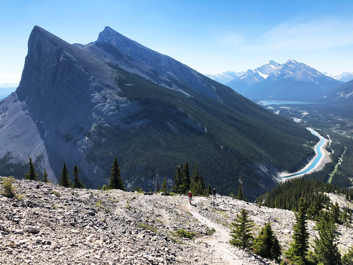
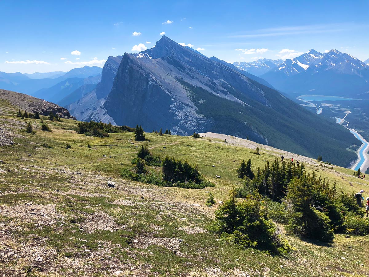
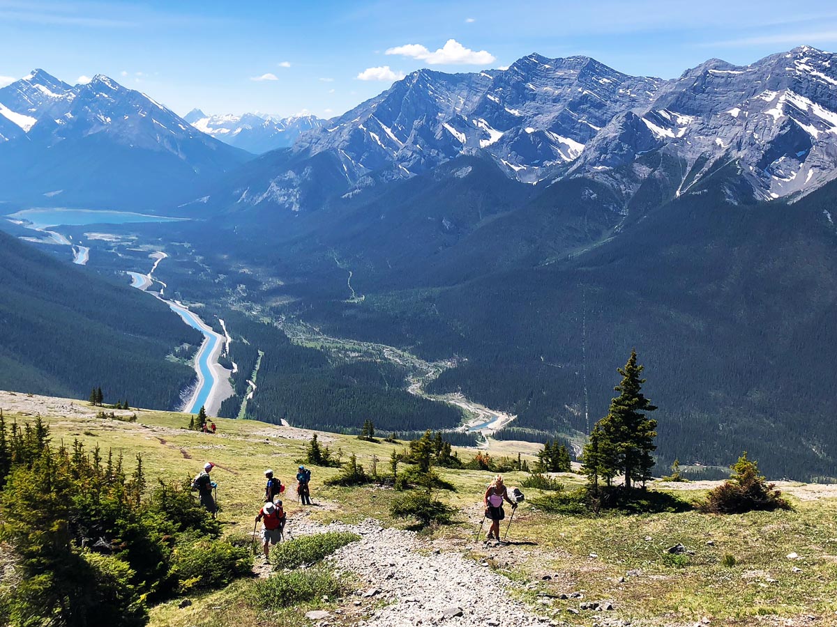
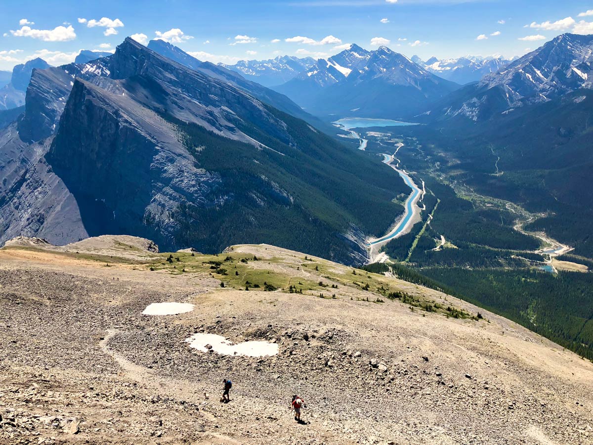
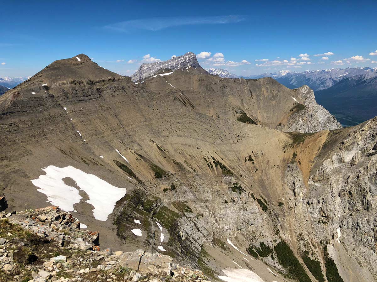
Scrambling the East End of Rundle or EEOR is a popular scramble close to Canmore. It is often under-estimated, and there are tricky sections on this for new scramblers. This scenic scramble has stunning views of the surrounding peaks from the summit.
Getting there
From Canmore, head past the Nordic Centre and continue on Highway 742. This turns into a gravel road, known as the Smith-Dorrien Highway. Keep your eyes open for a parking lot on your right named “Goat Creek”.
About
| When to do | May - October |
| Backcountry Campsites | No |
| Toilets | Trailhead |
| Pets allowed | Yes - On Leash |
| Scarmbling Rating | Grade 1 |
| Exposure | Mild |
| Family friendly | No |
| Route Signage | None |
| Crowd Levels | Extreme |
| Route Type | Out and back |
East End of Rundle Route (EEOR)
Elevation Graph
Weather
Route Description for East End of Rundle Route (EEOR)
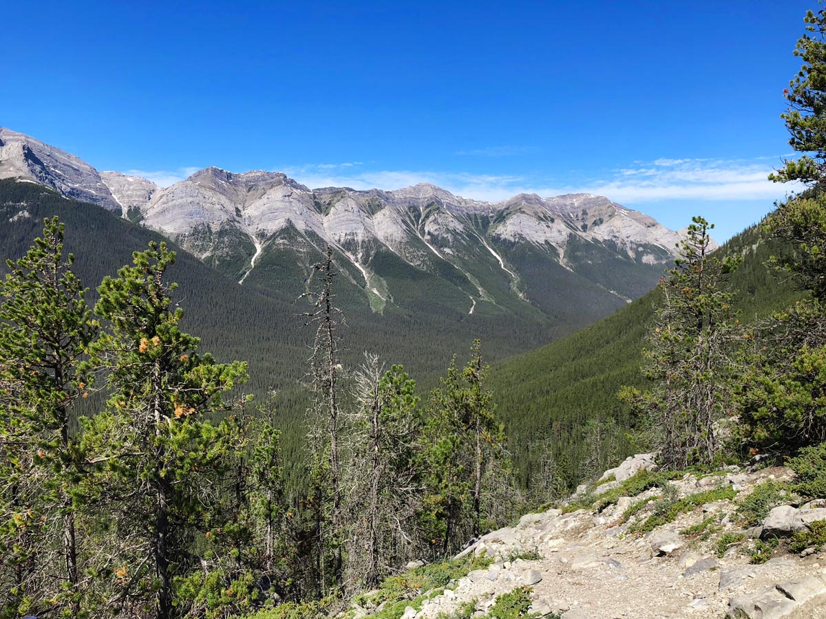
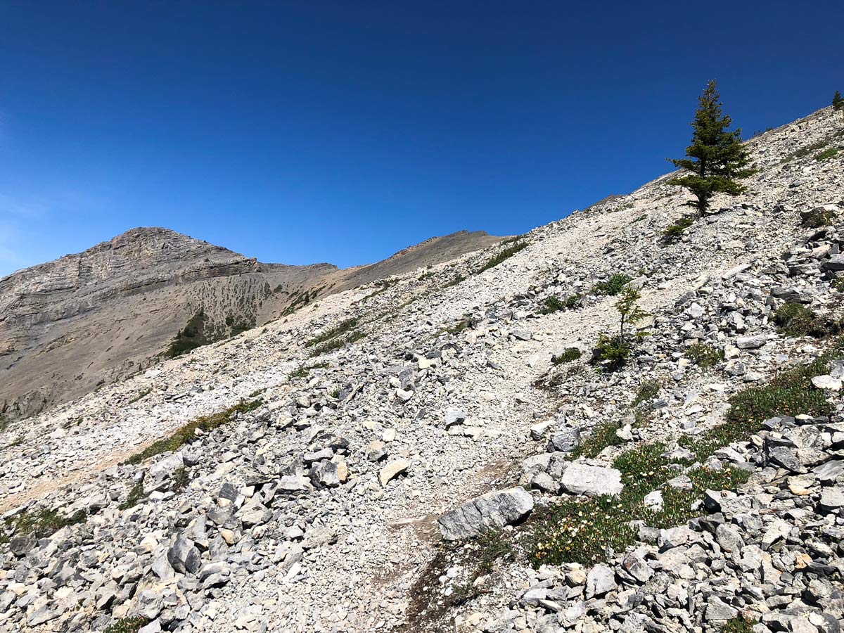
From the parking lot, walk back along the Smith-Dorrien for a couple of minutes. Look out for a trail going up to the left – this is what you will take. Follow the path and make your way through the trees. This is a steep uphill but with occasionally wonderful views.
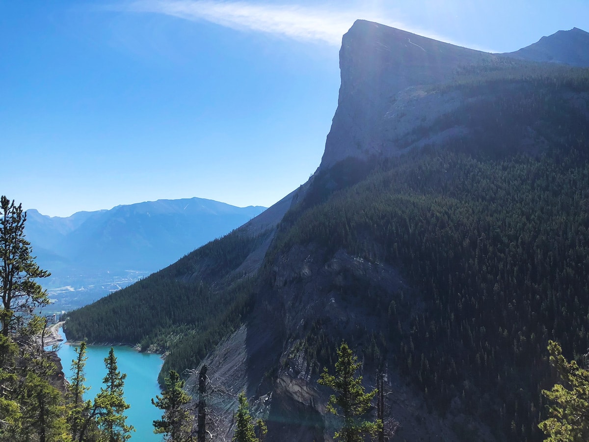
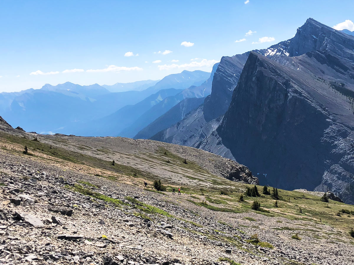
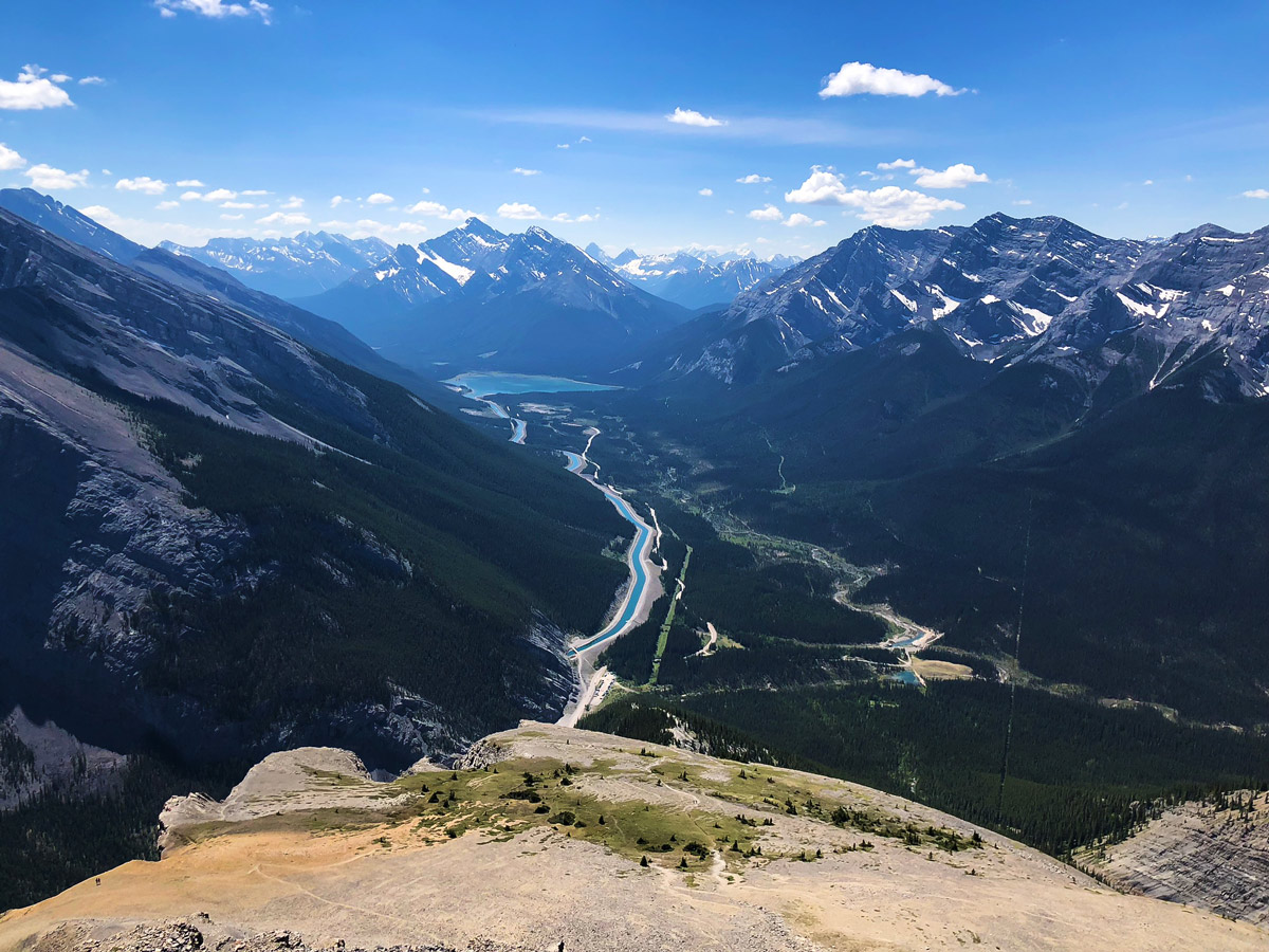
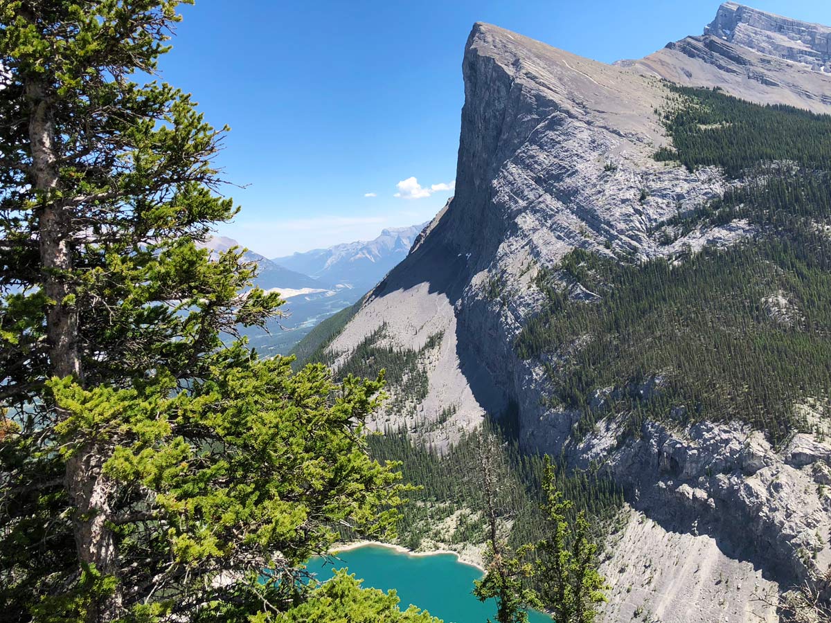
At 0.8mi there is a little spur to the right for a fine view of Spray Lakes. After taking a quick look, get back on the main trail and continue to follow the ridge up, whilst being careful not to get off on the edge where there is exposure. Look out for blue squares to guide you – there should never be a big drop beside you.
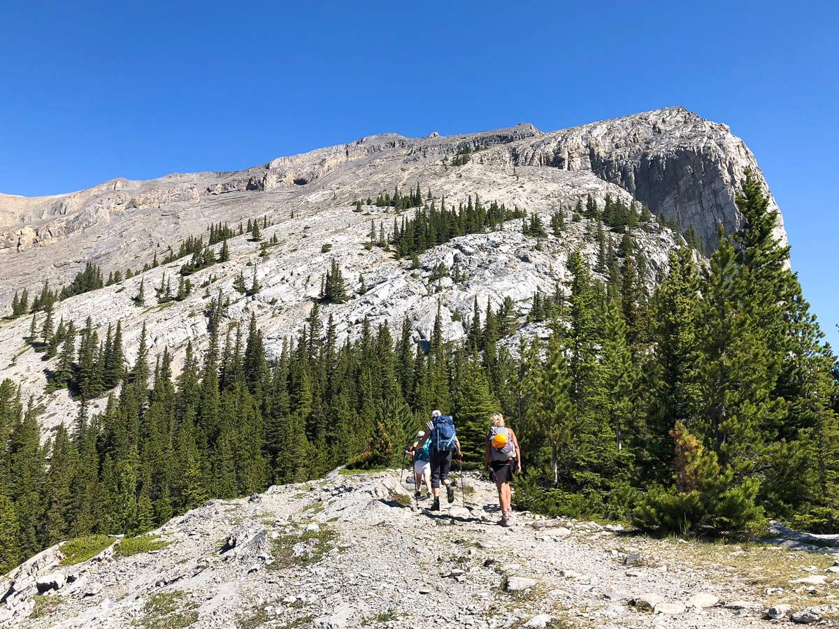
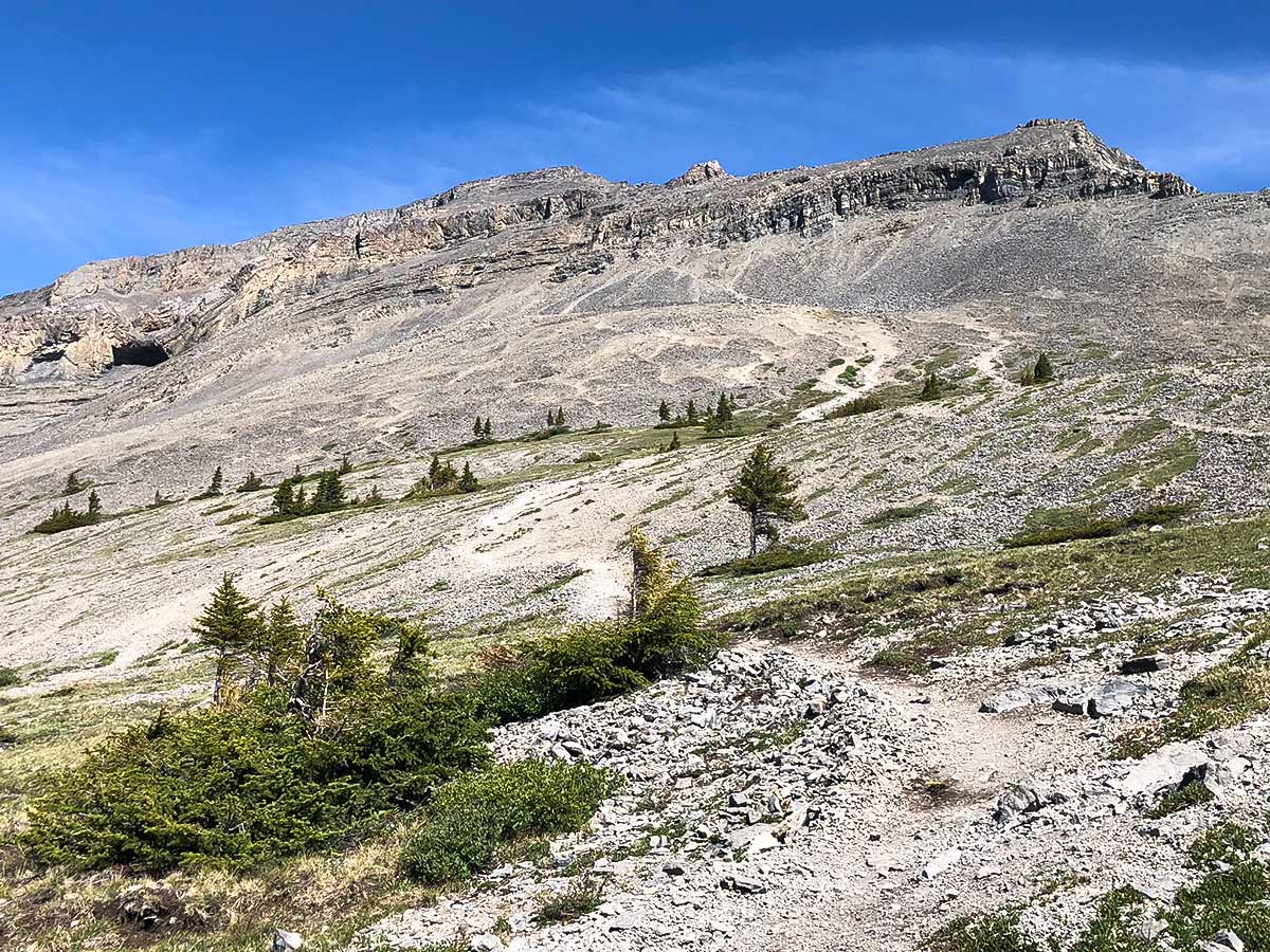
At 1.4mi you will reach an alpine meadow, which is a lovely place to take a break. Many people stay in this location if they don’t want to deal with the scrambly route the cliff-band to get to the summit.
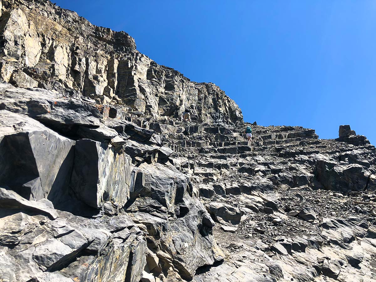
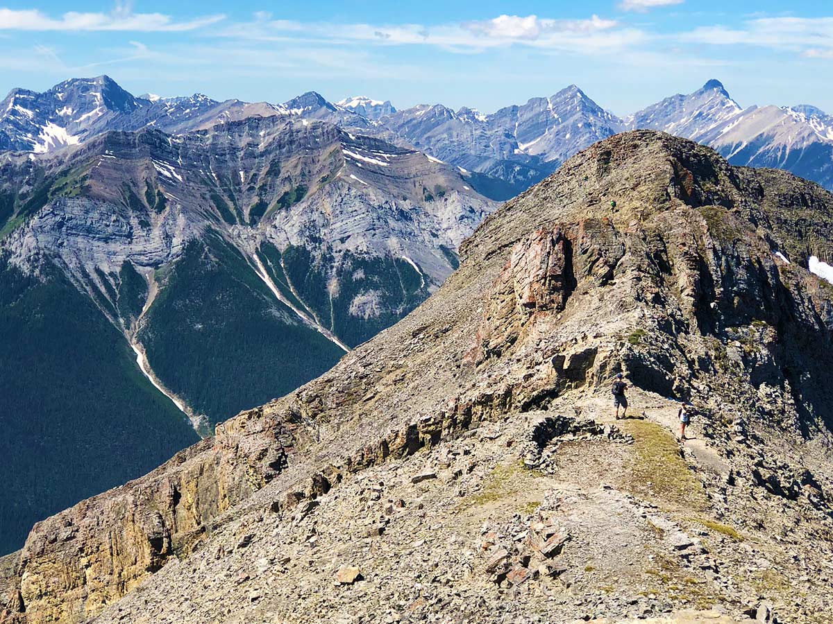
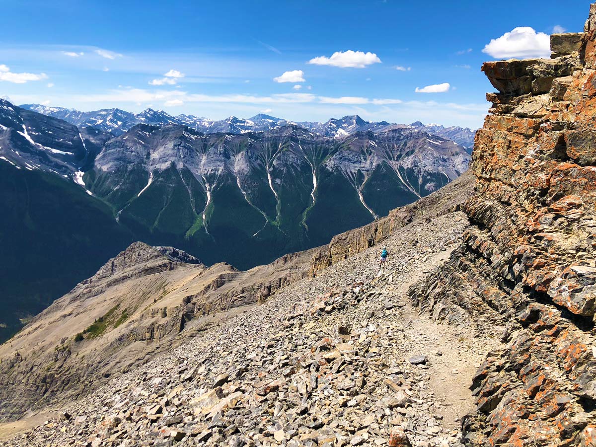
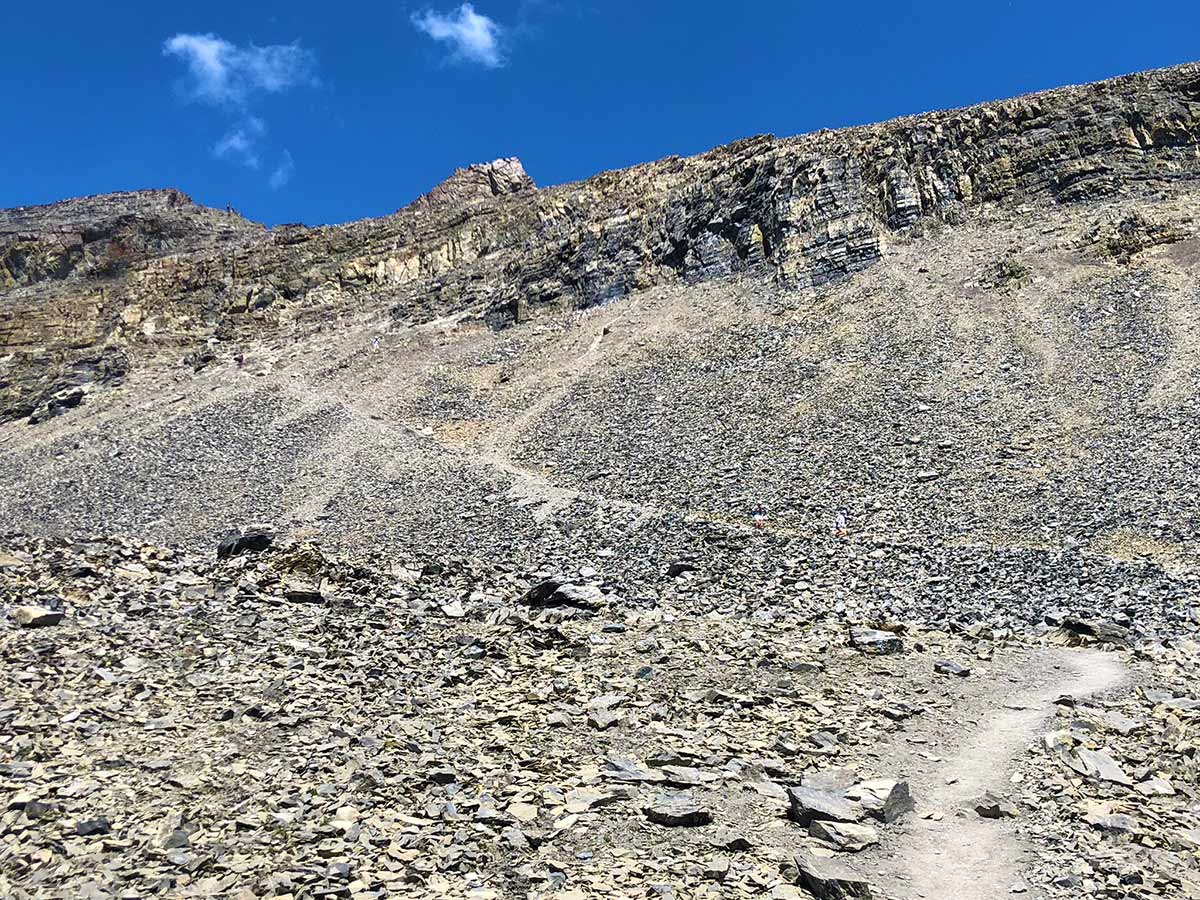
To summit there are many routes, but the main route goes up and slightly left through the cliff-band. Then make your way through a cliff-band and you can see routes with all the tracks coming down.
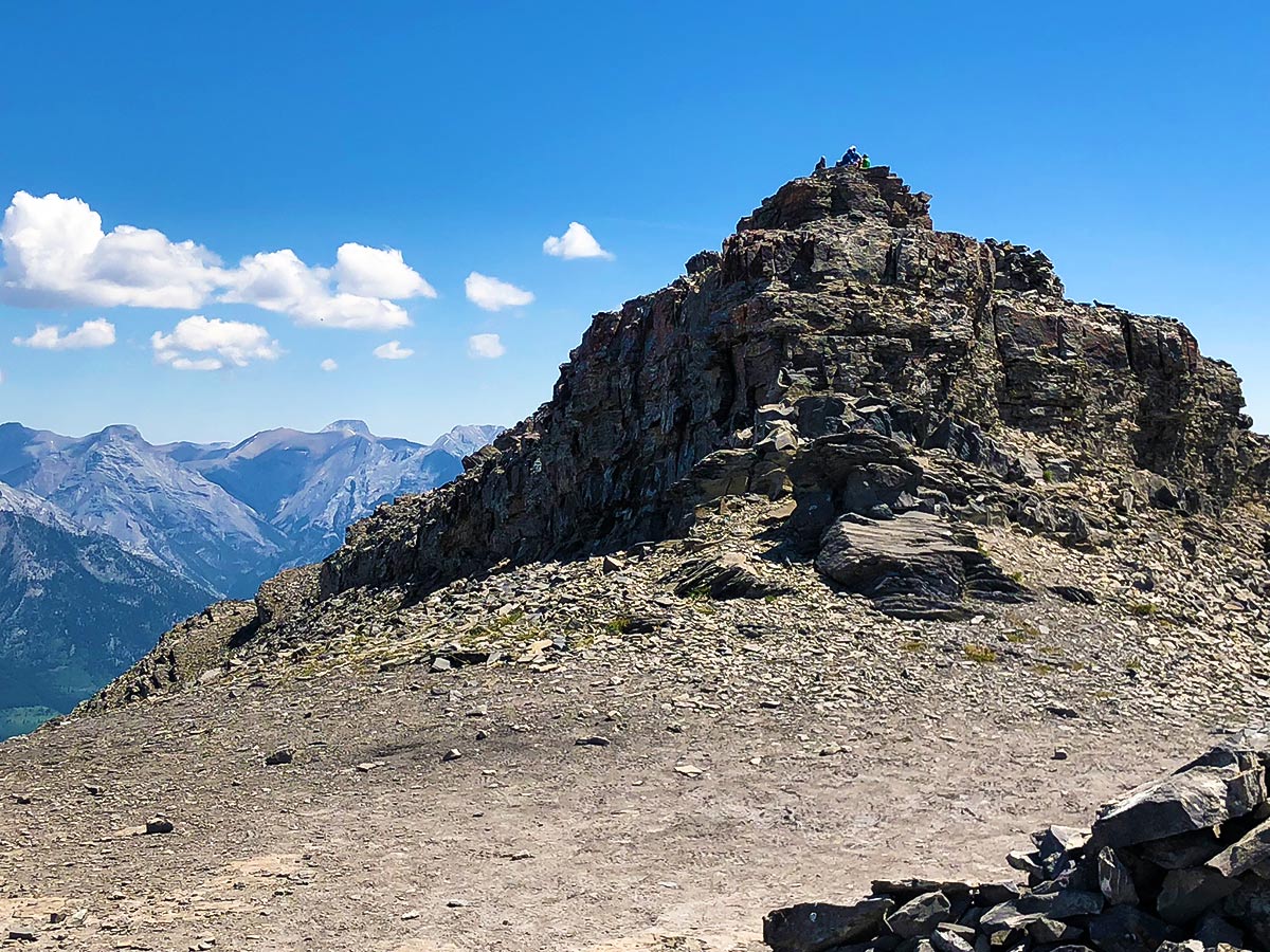
Once through the cliff-band, you get to a ridge, go right to head up to the summit of the East End of Rundle.
Treat this area with respect – a person died here in 2018. Furthermore, many new scramblers find the route very challenging, and we’ve often seen a person ‘freeze’ on the descent from the cliff-band.
After enjoying the summit, return the way you came. The small rocks on the hard rock mean that this is a tricky descent all the way down.
Insider Hints
This is a popular first hike / scramble. It shouldn’t be. It’s got a nice view, but you’re better off going up Windtower, just down the road, if you want a great summit.
Parking fills up super early and people park on the road.
Rock helmets are useful once in the cliff-band.
Similar Scrambles to the East End of Rundle Route (EEOR) Scramble
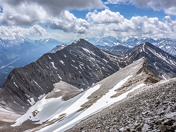
Mount James Walker
A scramble up Mount James Walker is an engaging adventure! Amazing summit views combine with a beautiful approach beside a…
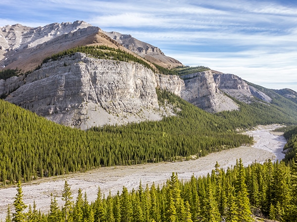
Mount Howard
The views from the summit of Mount Howard are as spectacular as any, but it is the long and wonderfully…
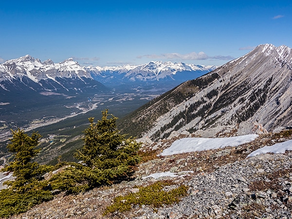
Grotto Mountain
Scrambling up Grotto Mountain offers a commanding aerial view of Canmore and the Bow Valley. Often thought of as a…



Wicked T 6 years ago
EEOR is a classic. Sadly overcrowded at times. It was okay when I was there but people do complain about the volumes here.
Cykelly 6 years ago
Really crowded. I started early but I wasn't too fast. People started swarming past me.