

Lady Peak Trail
View PhotosLady Peak Trail
Difficulty Rating:
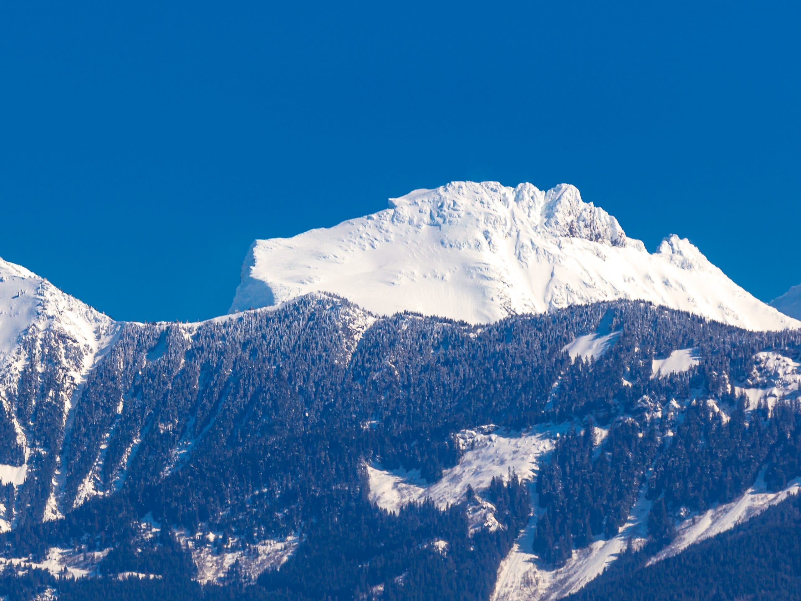
Lady Peak Trail is a 4.3mi out-and-back hiking route near Bridal Veil Falls Park that features several creek crossings and a rocky scramble to the summit. From Lady Peak, hikers will be able to look out over the entirety of the Cheam Mountain Range and view several chilly glaciers that lay nestled amongst the mountains. The views from the summit are amazing and the trail is less populated than others in the region, making for a fun (if exhausting) half day adventure.
Getting there
To reach the parking area for the Lady Peak Trail from Chilliwack, head south on Vedder Road for 3.2mi, taking the second exit on the roundabout to get onto Chilliwack Lake Road. Follow this for 16.7mi and turn left onto Foley Creek FSR, making another left after 1.2mi to stay on the road. After another kilometre, the road will veer right and become Chipmunk Creek FSR. In 2789ft, turn right to stay on the road and follow it for another 6.8mi to get to the trailhead.
About
| When to do | July-September |
| Backcountry Campsites | No |
| Pets allowed | Yes - On Leash |
| Family friendly | No |
| Route Signage | Average |
| Crowd Levels | Low |
| Route Type | Out and back |
Lady Peak Trail
Elevation Graph
Weather
Lady Peak Trail Description
The Lady Peak Trail is a difficult hiking and scrambling route near Bridal Veil Falls Park that shares a trail with the route to Cheam Peak before splitting off to the summit. Due to the rugged nature of the upper portion of the trail, hikers should wear proper hiking footwear and bring any necessary gear such a s crampons, microspikes, or hiking poles to better traverse the rocky terrain up the peak. This section requires a keen eye to pick up the trail and follow along the orange markers and rock cairns that highlight the route up to the summit. Additionally, the road to access the trailhead is a bit rough and is certainly easier to navigate with higher clearance vehicles, although it is not impossible to do so in a smaller car if you’re careful.
Although this trail may be difficult, the views from atop Lady Peak are spectacular and the route itself is far less populated than the route that branches off for Cheam Peak. If you are able to traverse the loose footing along the rocky trail, you will be rewarded with amazing views that overlook the Cheam Range and the glaciers that populate its rugged expanse.
Setting out from the trailhead, follow along the Mount Cheam Trail as it climbs uphill and crosses over several mountain streams. Approximately 1.5mi into the hike, the route will branch off to the right along a rocky stretch heading up to Lady Peak. This route can be difficult to find, so keep an eye out for the orange tape that will highlight the way. From here, the path will lead directly uphill, scrambling past a series of cairns and orange spray painted rocks.
Upon getting to the top of the ridge, keep right along the trail to eventually reach the summit, where you will have spectacular views overlooking Cheam Peak and the rest of the Cheam Range as well as several glaciers nestled amongst the mountains. After taking in the views, head back down along the Lady Peak Trail to return to your car below.
Other Amazing Hikes in Fraser Valley
Check out our guides to Lindeman Lake, Bridal Veil Falls, Cascade Falls, Elk Mountain Trail or Hicks Lake Hike. Or see all our hikes in Fraser Valley on 10Adventures.
Similar Scrambles to the Lady Peak Trail Scramble

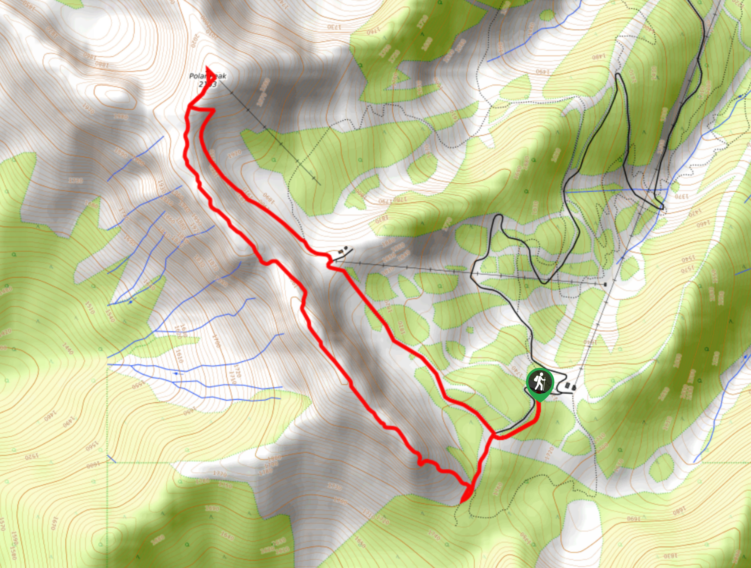
Polar Peak Ridge Trail
The Polar Peak Ridge Trail is a challenging 3.5mi route near Fernie that traverses an alpine ridge and…

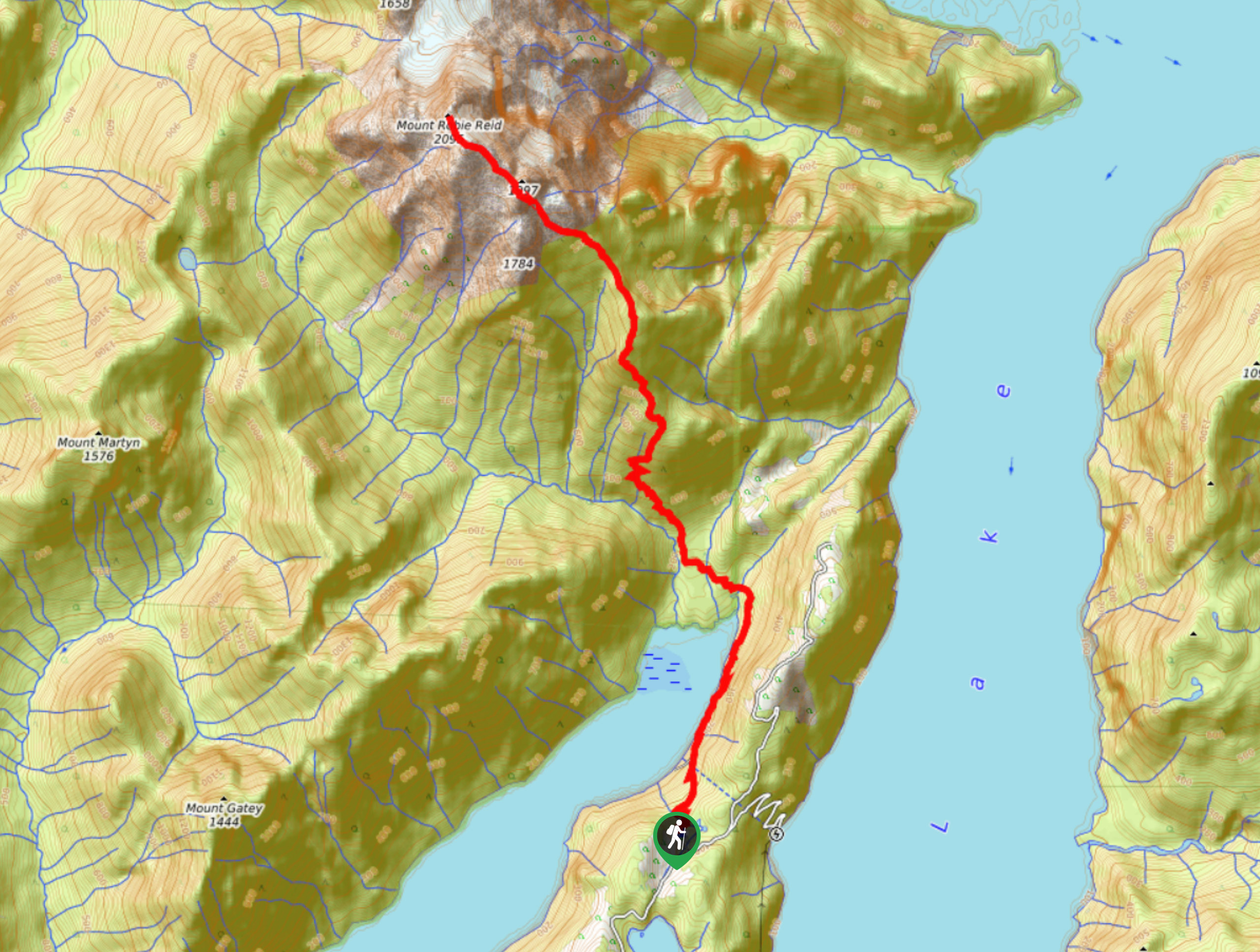
Mount Robie Reid Trail
The Mount Robie Reid Trail is an extremely difficult and technical trail that should only be attempted by hikers who…

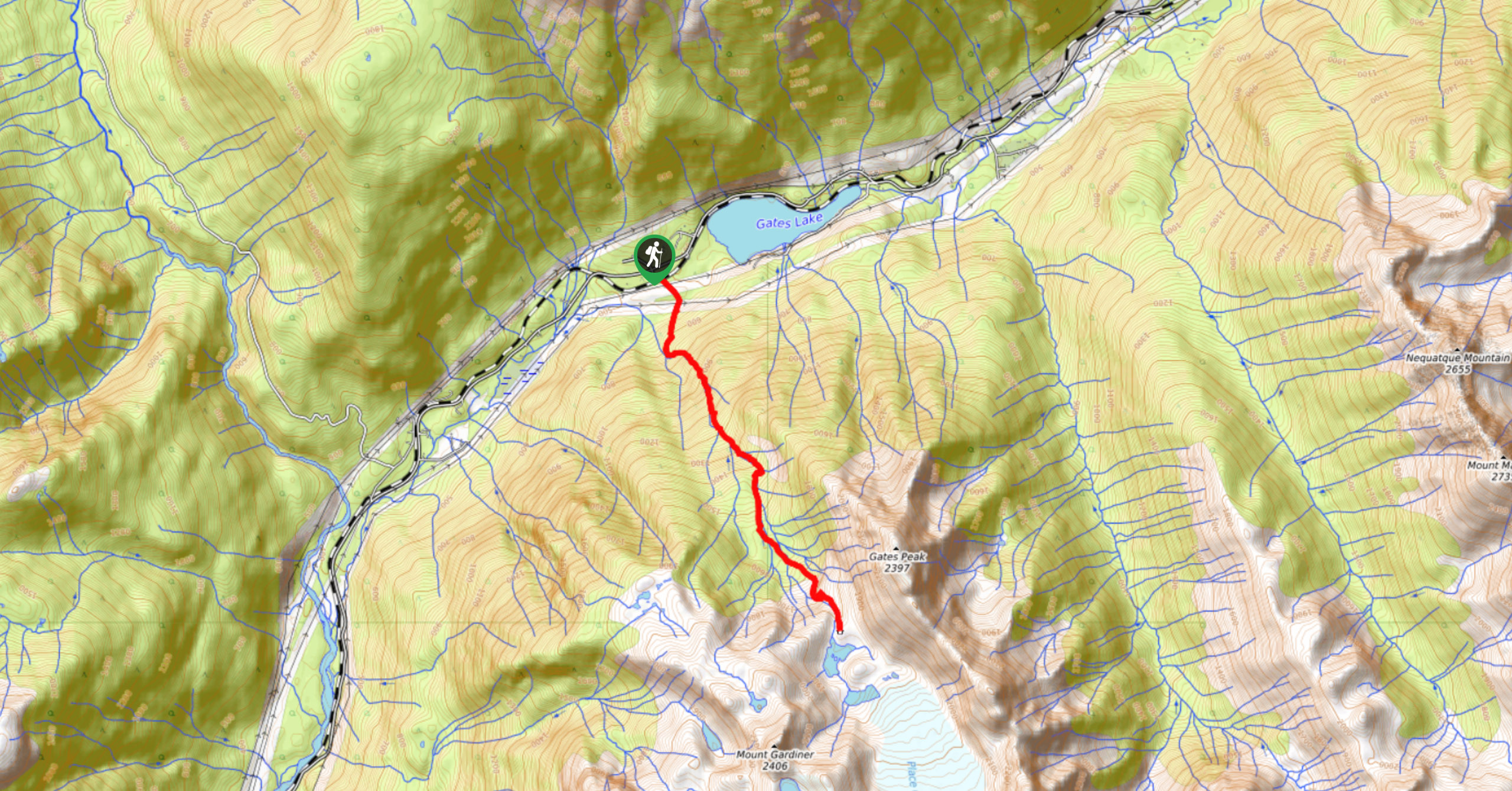
Place Glacier Trail
The Place Glacier Trail is a difficult 6.8mi hiking route near Pemberton that climbs steeply uphill to some…


Comments