Southern Foothills Road to Nepal Road Biking Route
View Photos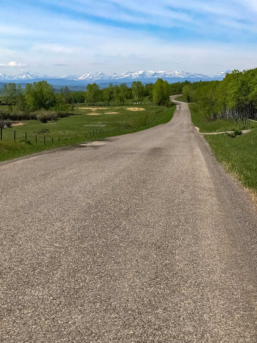
Southern Foothills Road to Nepal Road Biking Route
Difficulty Rating:
The Southern Foothills Road to Nepal biking trail is aptly named for its countless rolling hills that can be killer to the calves. Challenge yourself as you ride over 43.5mi of grueling, but rewarding roads in Calgary, Alberta.
Getting there
From Calgary, head South on MacLeod Trail to 242 Ave W/Dunbow Rd/Township Rd 220 in De Winton. Go left and park in the small shopping plaza parking lot.

About
| When to do | March-November |
| Family friendly | No |
| Route Signage | Average |
| Crowd Levels | Moderate |
| Route Type | Lollipop |
Southern Foothills Road to Nepal
Elevation Graph
Weather
Route Description for Southern Foothills Road to Nepal
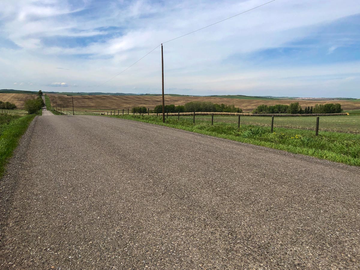
Start the Southern Foothills Road to Nepal biking trail at the small shopping plaza in Heritage Pointe. Bike out to Township Road and wait at the traffic lights to cross over MacLeod Trail.
On other side of Macleod, go straight, until you reach 16 St W, turning left. Cross over rail tracks and then make a sharp right back on yourself onto Township Rd 215A, you’ll do this loop counter clockwise.
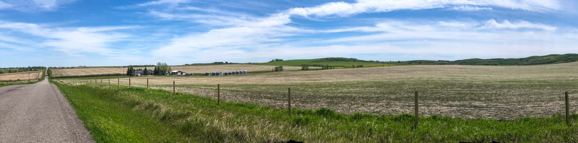
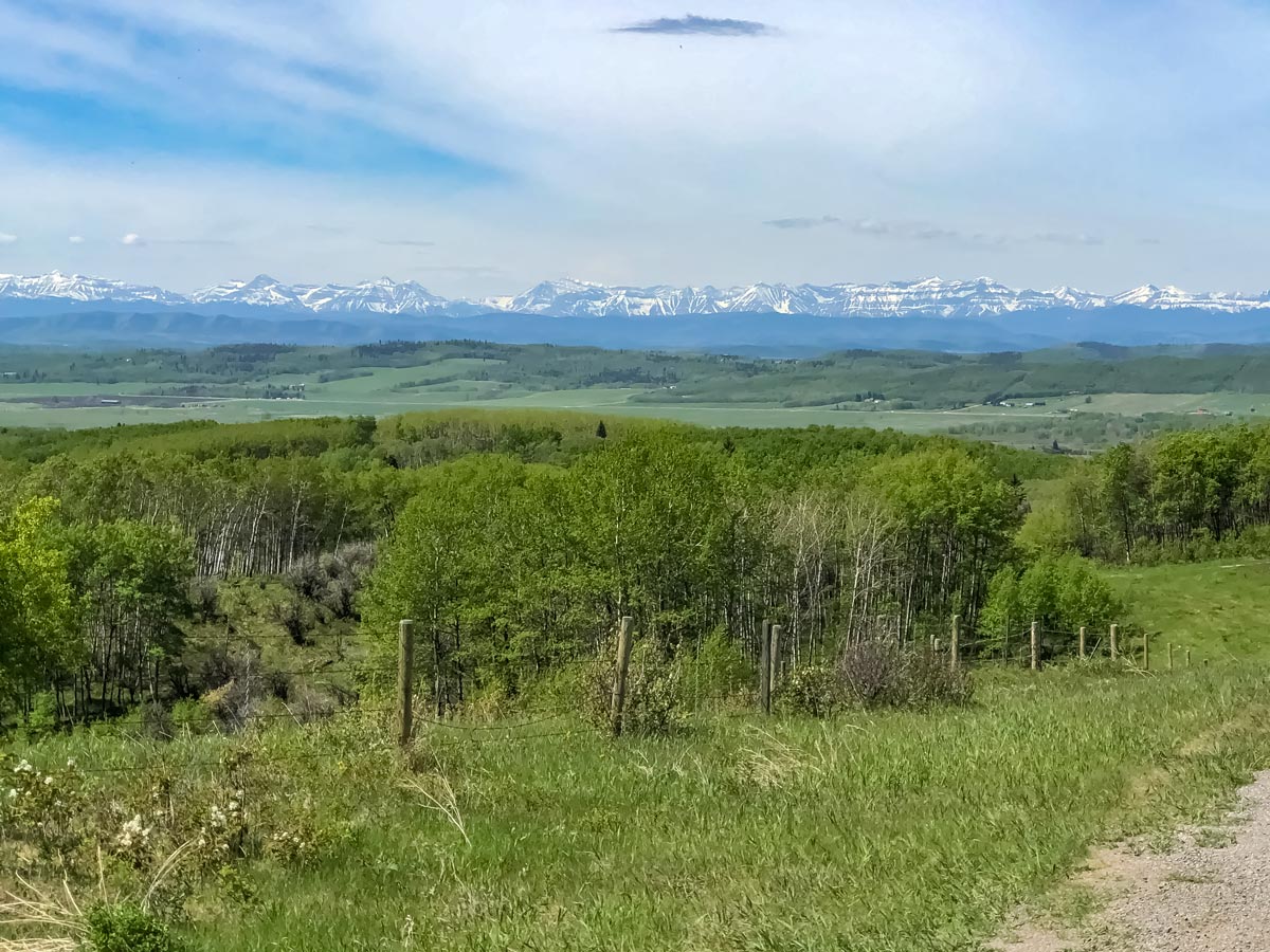
This first section heading out west has some rutted roads, and it is a bumpy, but beautiful ride.
Continue to peddle until you come to a T-intersection, turning right on 32nd Street) and pushing forward for a few hundred meters, before going left on Township Road 220.
Follow this road until you come to 64th Street, where you’ll head right (north) and ride up past the Sirocco Golf Course on your right. Once you reach Township Road 221, take a left.
This road eventually turns into 226 Avenue, and you’ll soon come to a turnoff for Granary Road at 112th Street, follow the road to the left.
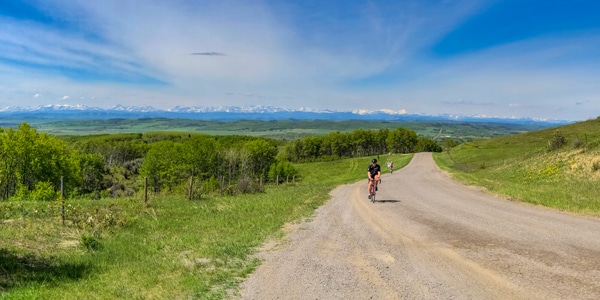
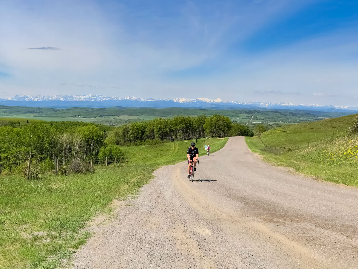
Granary Road has a great market, and is the perfect place to stop for a snack. This is also a great spot to practice your climbing skills—on the famous road to Nepal. If you want to test your legs, go left to take on these hills, (which we do on the map), before returning back onto 226 Ave. and going left. Don’t say we didn’t warn you, it’s a tough, but rewarding challenge.
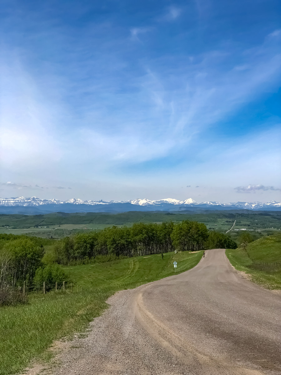
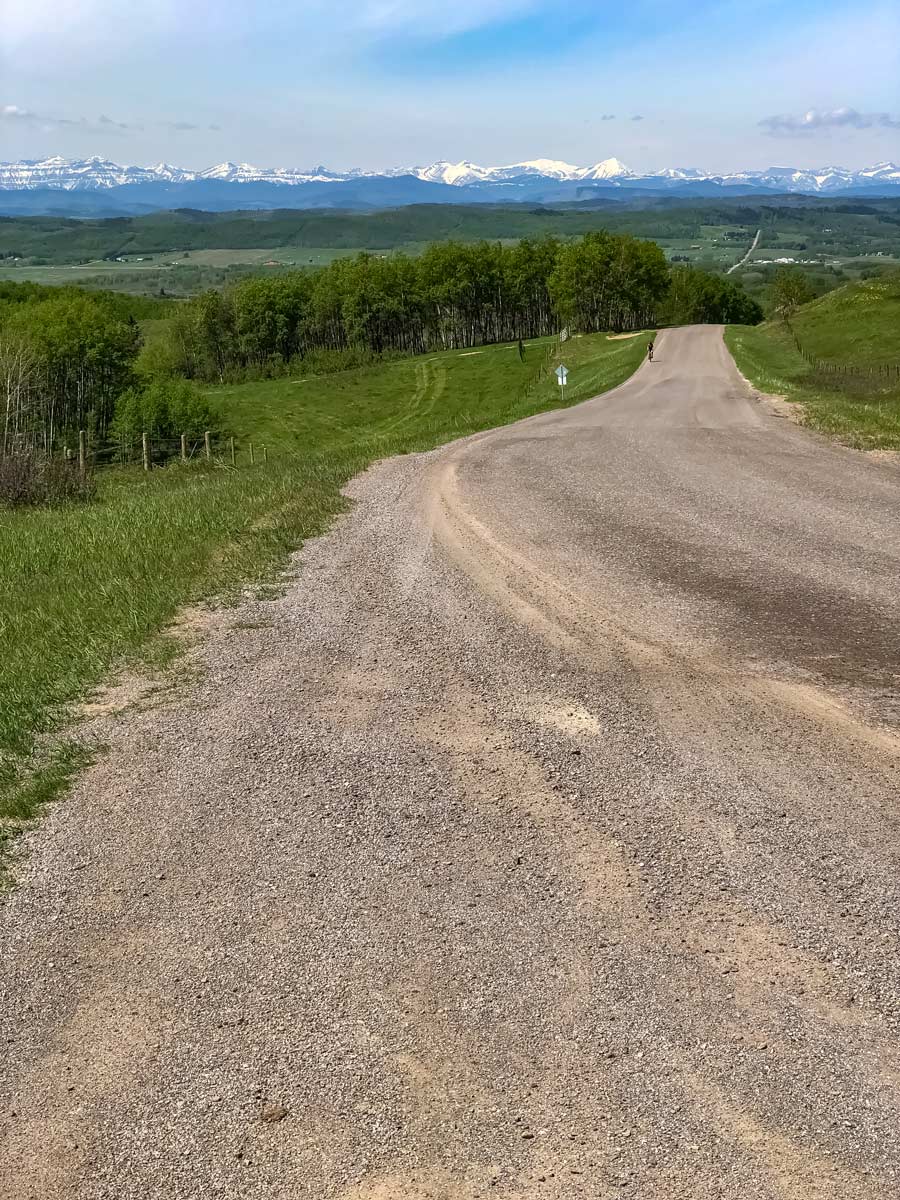
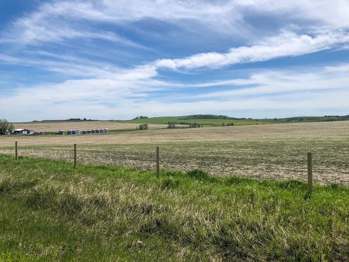
Follow 226 Ave. as it curves south and turns into Range Road 21A, and soon into Range Road 22A. This is a very scenic part of the ride as the road heads SW.
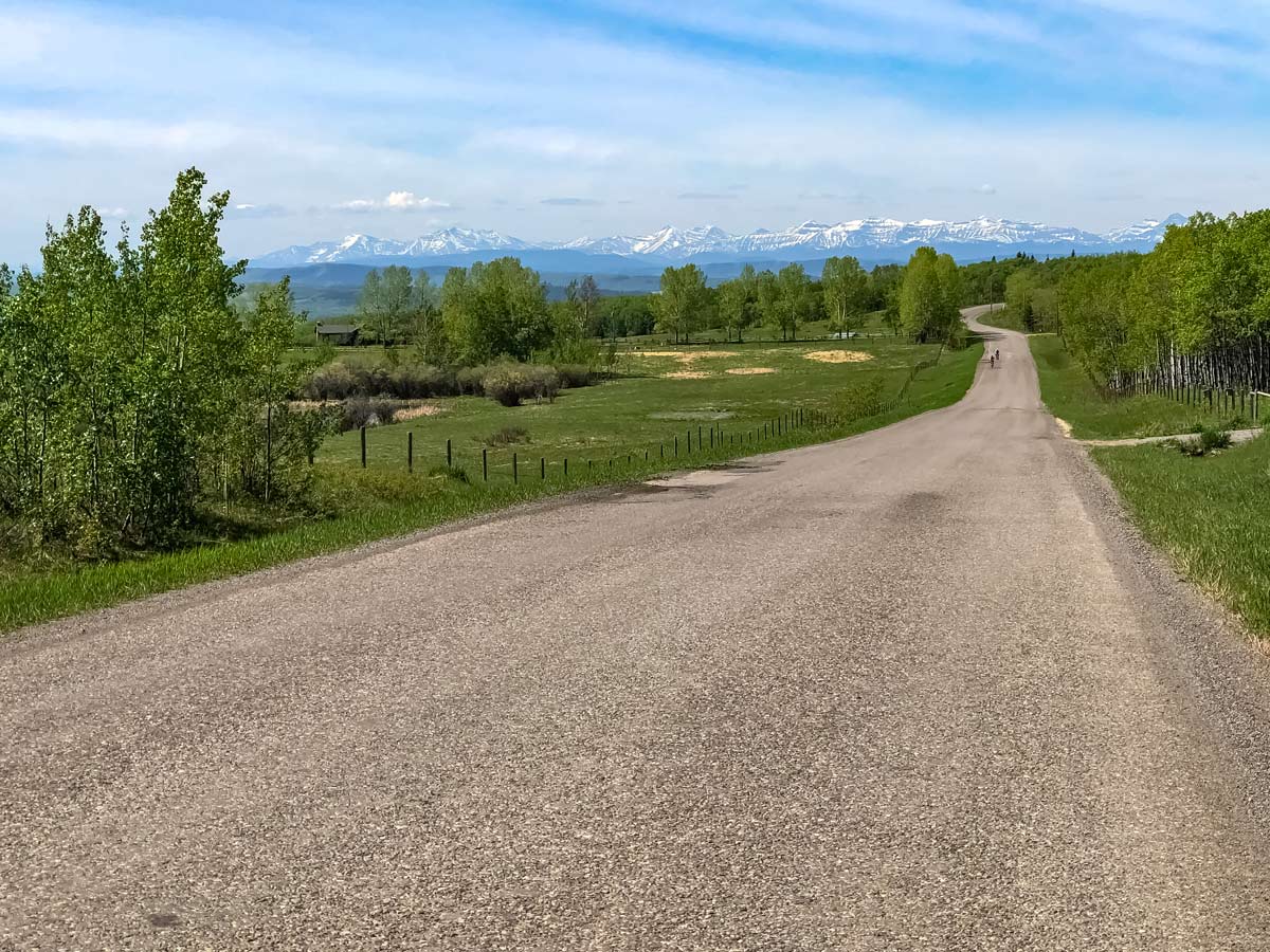
You’ll have some wonderful views of the Rocky Mountains along this stretch, and eventually come down to 192 St. SW, where you go left.
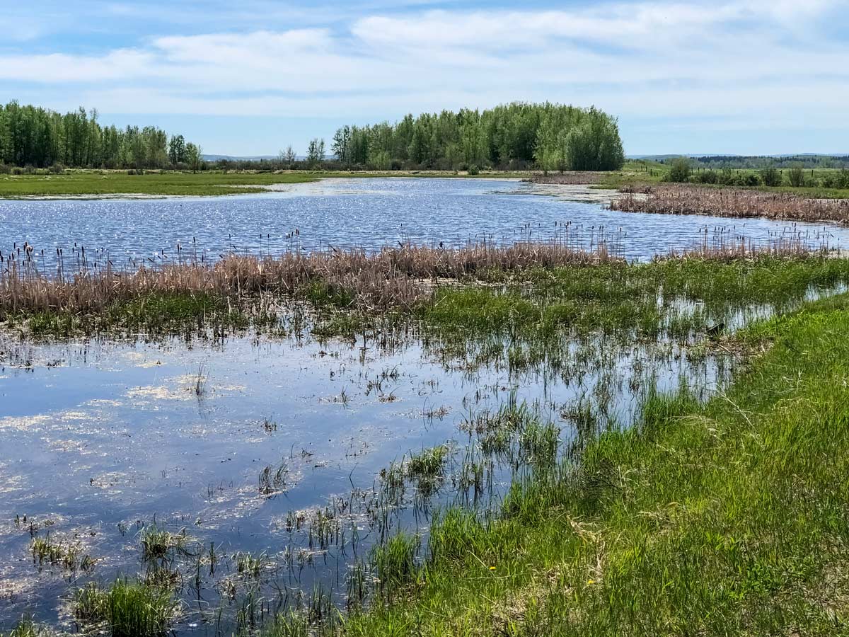
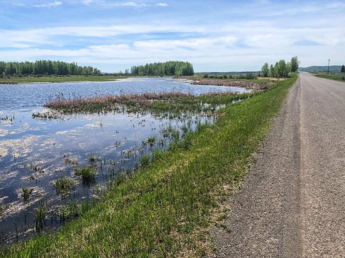
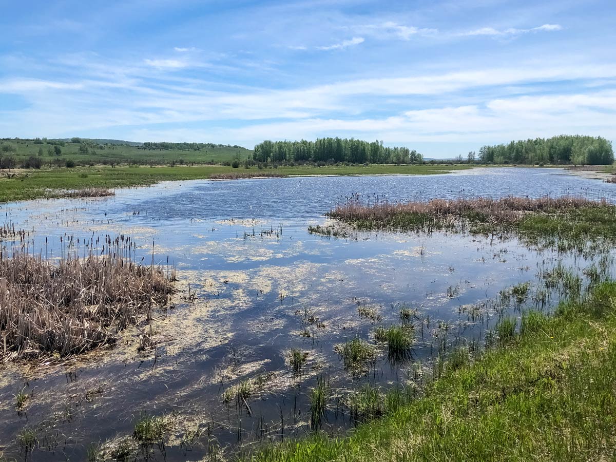
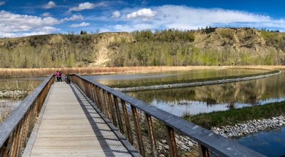
This flat stretch of road goes between two ponds full of birds and ducks, and is a great place to take a break and enjoy the birdsong.
Continue south and you’ll eventually reach Highway 549. This road can be challenging on windy days or weekends, as it has a lot of traffic.
If you’re comfortable riding on busy highways, then this part of the route shouldn’t be too bad, but some cyclists prefer to double back on the route they did out. In addition, it’s hilly, so be prepared. When you get to 112th Street, go left and back onto a quiet, peaceful road (but still very hilly).
Follow 112 St. W north, almost all the way back to Granary Road. Go right on Township Rd. 214 A (265 Ave) and enjoy this pleasant stretch of riding. When you come to a T-junction, take a right for 50 m and then left, continuing your journey on Township Rd. 214A east.
At your next T-junction, go right and head south on 80 St. W until you come to the next junction and go left.
Follow Township Road 214 (271 Ave) until you reach 16 Street, then go left and head north, eventually reconnecting with the road you first set out on at the train tracks.
Go right over the train tracks, and continue north along 16 St. W and then go right again and come to Macleod Trail. Cross over and then onwards to your car.
Insider Hints
The Southern Foothills Road to Nepal biking trail covers some big hills and major roadways, we suggest this route for more advanced riders
Similar Road Biking Routes to the Southern Foothills Road to Nepal Road Biking Route
Bow River Pathway to Bowness
Riding the Bow River Pathway is an incredibly scenic ride in Calgary. Set out on the Bow River Pathway in…
Tour de South Calgary
If you wish to experience the true highlights of Calgary from two-wheels, try the Tour de South Calgary biking route.…
Fish Creek East to West
For a relaxing parkland ride, set out on the Fish Creek East to West biking trail. Pass over bubbling brooks,…
Comments