Downtown & Nose Hill Park Road Biking Route
View Photos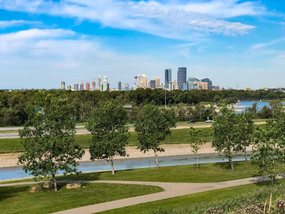
Downtown & Nose Hill Park Road Biking Route
Difficulty Rating:
Kick off the Downtown & Nose Hill biking trail riding through the Calgary Zoo, peddling past pretty parks and exploring the surrounding mansions in the popular Nose Hill neighbourhood.
Getting there
From Downtown Calgary, drive along 5 Ave SE and Memorial Dr. Turn right onto Barlow Trail SE, then right again into the Max Bell Centre parking lot.

About
| When to do | March-November |
| Family friendly | Older Children only |
| Route Signage | Average |
| Crowd Levels | Moderate |
| Route Type | Circuit |
Downtown & Nose Hill Park
Elevation Graph
Weather
Route Description for Downtown & Nose Hill Park
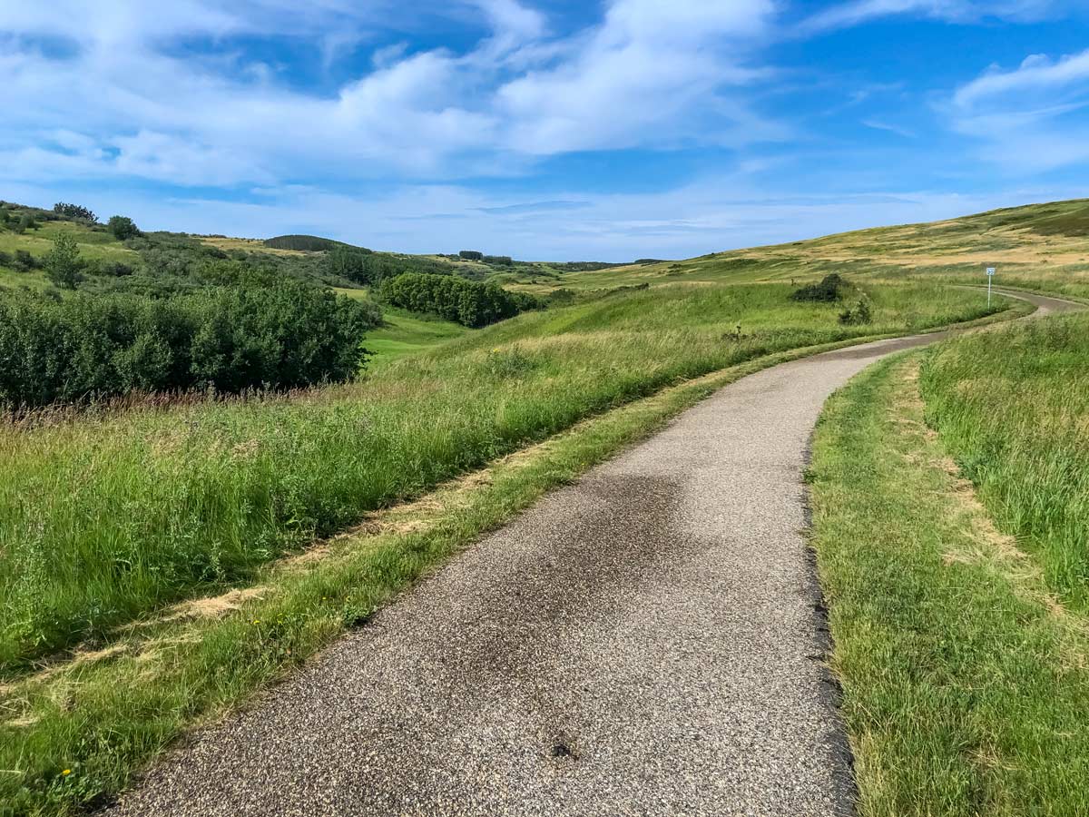
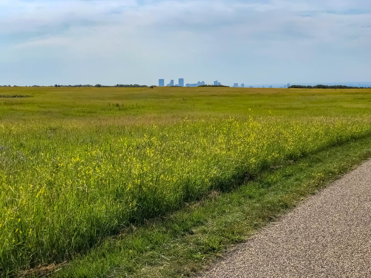
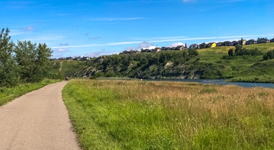
This incredible bike ride through Downtown Calgary and up to Nose Hill Park is a great bike ride. The route starts from the Calgary Zoo and passes through Nose Creek, Nose Hill, Confederation Park and then down to Crescent Heights, offering incredible views over downtown Calgary.
You can start this ride anywhere along the route, but we recommend starting at the Calgary Zoo. To access the zoo, park at the Max Bell Centre and ride down.
Once at the starting point marked on the map, head north, away from the zoo and Bow River and in the direction of Telus Spark. This route follows the Nose Creek Pathway for quite some time.
This route passes through an interesting part of Calgary—through the Saint George’s Heights and Renfrew neighbourhoods, before arriving at the Fox Hollow Golf Course, which you’ll ride through.
Continue to follow the Nose Creek Pathway, past where the Nose Creek joins Confederation Creek, making a slight turn onto Goddard Ave. NE, where you’ll cross the road and rejoin the Nose Creek Pathway on the other side.
Veer off the Nose Creek Pathway onto 4 St NE and just before the street veers to the left, stay right and rejoin the Nose Creek Pathway heading up and through the Thorncliff Off Leash Dog Park.
Then, prepare to turn off early before you reach Confluence Park. Climb up a small hill, then take a path on your left that leads you to Huntwell Rd. NE. Go right and then make a quick left on Huntstrom Dr. NE. Follow this down to 4 St. NE and go right.
Continue until you reach Beddington Blvd, go left and follow the pathway on the south side of the road.
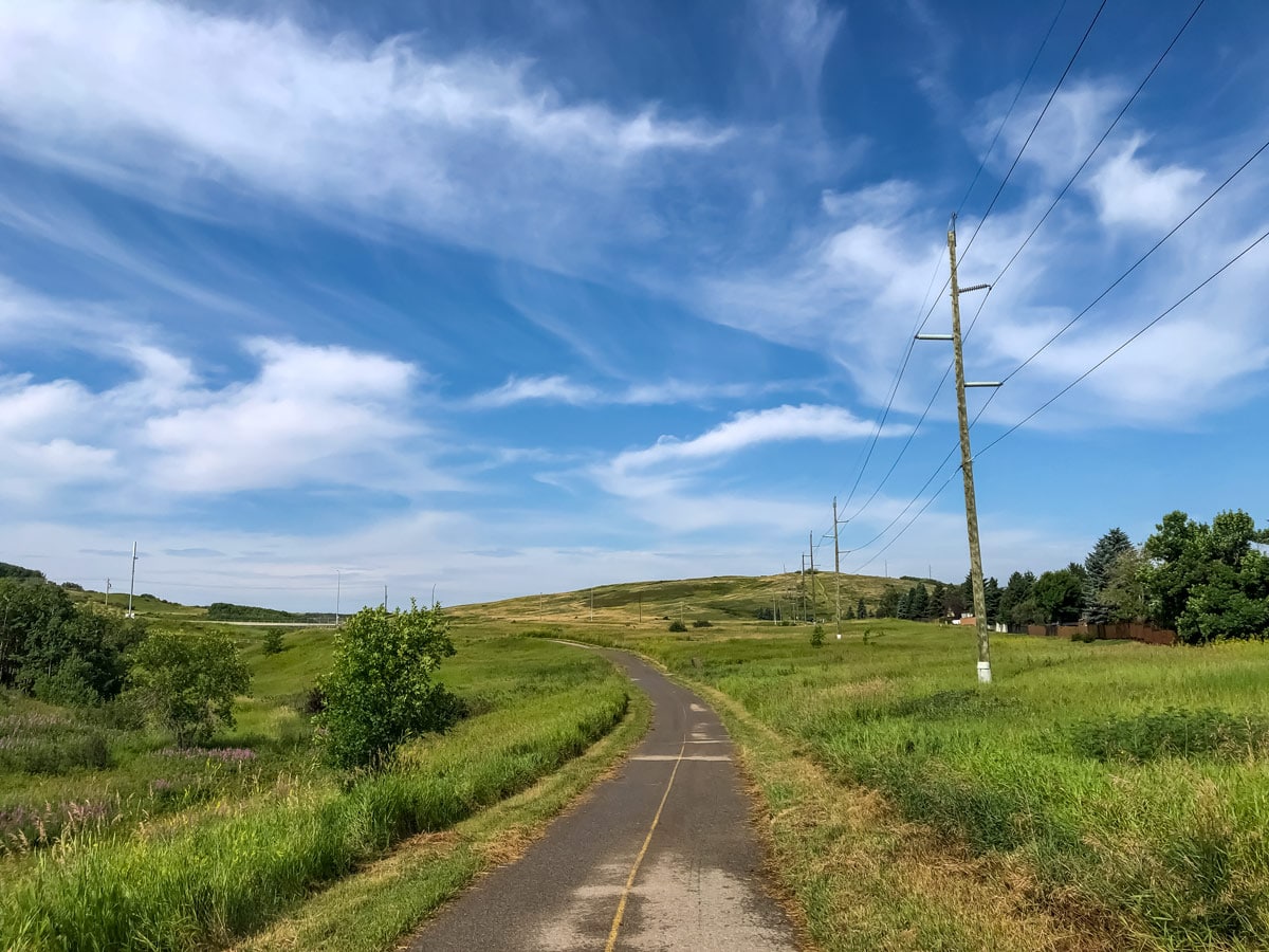
From here, the bike path leads into Huntington Hills off-leash park and soon you’re approaching Nose Hill Park from the east.
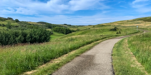
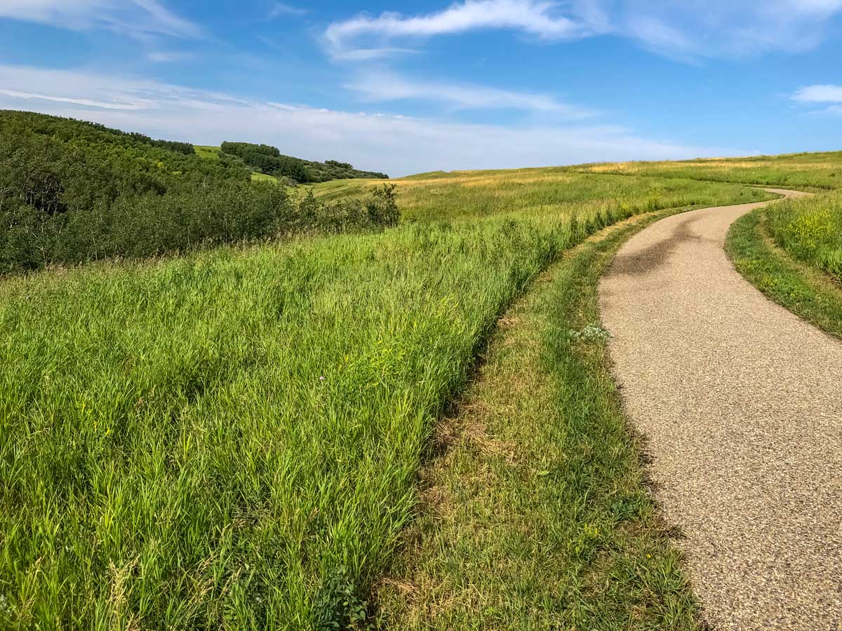
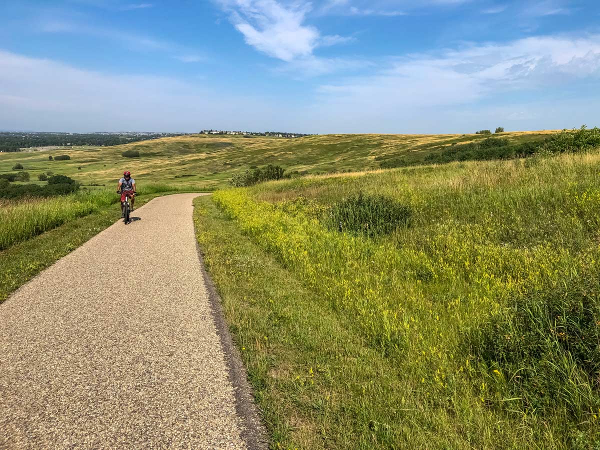
Go through a tunnel under 14 St. NW and you’ve arrived in Nose Hill Park. Follow the paved path, as it undulates on this very pretty part of Nose Hill.
Soon you’ll reach the NW end of Nose Hill, where you’ll turn left and head south, still staying on the paved path.
Come down a hill and follow the path as it curves to the west towards the popular Many Owls parking lot, and then crosses over John Laurie Blvd NW on a bridge.
On the other side of the bridge, take a left and follow the pathway until you reach 19 St. NW. Go right and follow the road, passing Triwood Park and Canmore Park until you get to the Confederation Golf Course.
Go past the public parking lot, but hang left onto a bike trail that goes along the southern edge of the golf course.
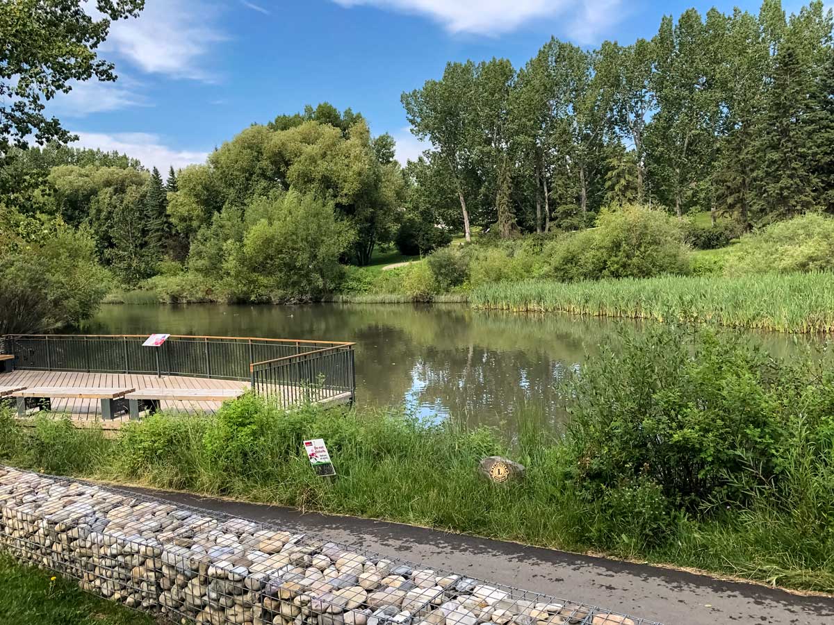
Follow this pathway through Confederation Park, eventually coming out on 6th Street NW, where you go right (south).
Follow 6th St. NW to 24 th Ave. NW, where you go right for a block onto 7th St. At 17 th Avenue NW, go right again for one block, and follow 8th Street NW to an intersection with 16th Avenue NW.
Use the traffic light to cross the bustling 16th Avenue NW and head south on the other side for two blocks, again taking a one block detour on your right at 13th Avenue NW. Now follow 9th Street NW as it curves to the right and turns into Crescent Road NW.
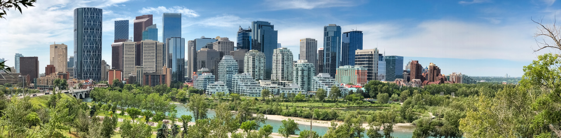
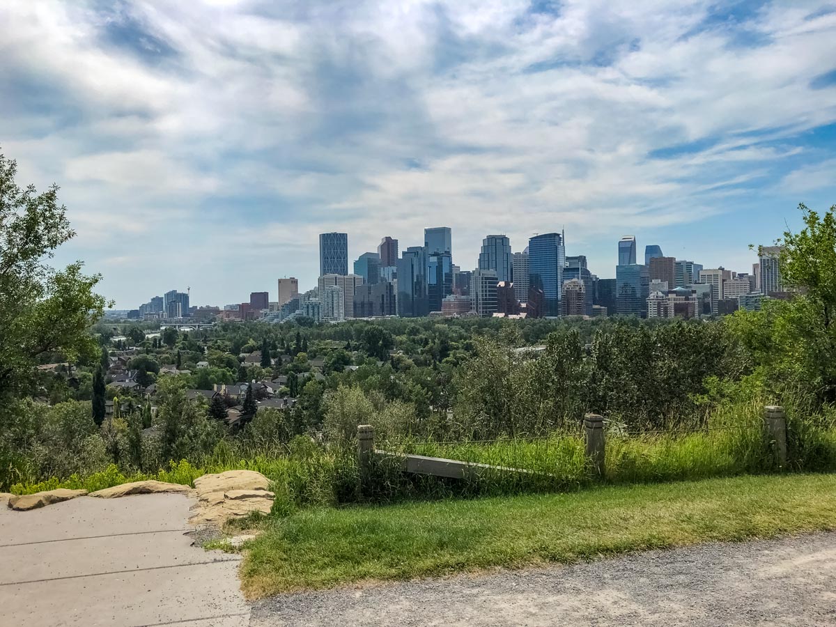
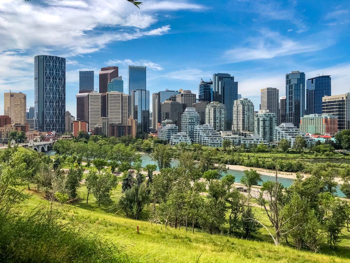
Bike east along the ridge of Crescent Road, enjoying some of the best views in downtown Calgary and some of the stunning mansions.
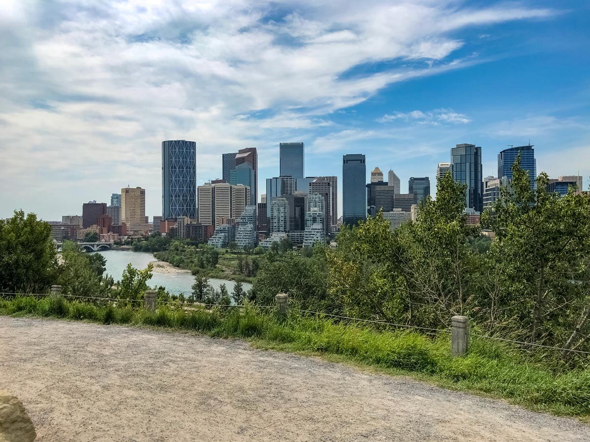
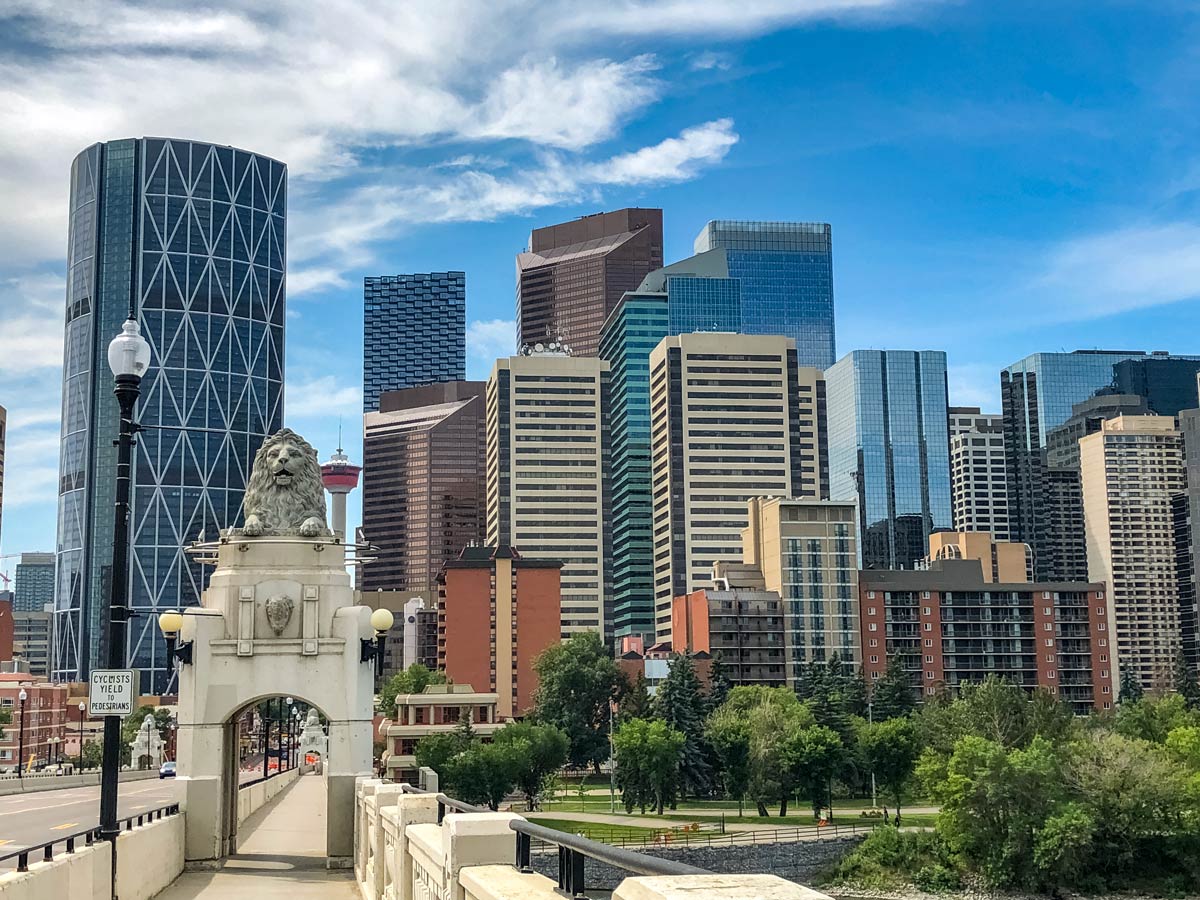
Eventually follow a path down towards the Centre Street Bridge. Cross over the Bow River and then head east on the bike path running parallel RiverWalk through the East Village.
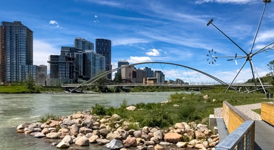
When you see a 3-span bridge, that looks like a rock hopping, you’ve reached George C. King Bridge. Take it and cross over to the north side of the Bow River and go right, following the Bow River Pathway back to the Calgary Zoo.
Insider Hints
While we suggest starting the Downtown & Nose Hill Park biking route from the Calgary Zoo, you can hop on the trail from anywhere to adjust the distance
Similar Road Biking Routes to the Downtown & Nose Hill Park Road Biking Route
Tour de South Calgary
If you wish to experience the true highlights of Calgary from two-wheels, try the Tour de South Calgary biking route.…
Fish Creek East to West
For a relaxing parkland ride, set out on the Fish Creek East to West biking trail. Pass over bubbling brooks,…
Bow River Pathway in Fish Creek Park
Set out on a memorable adventure on the Bow River Pathway to Fish Creek Park bike trial. Challenge your strength…
Comments