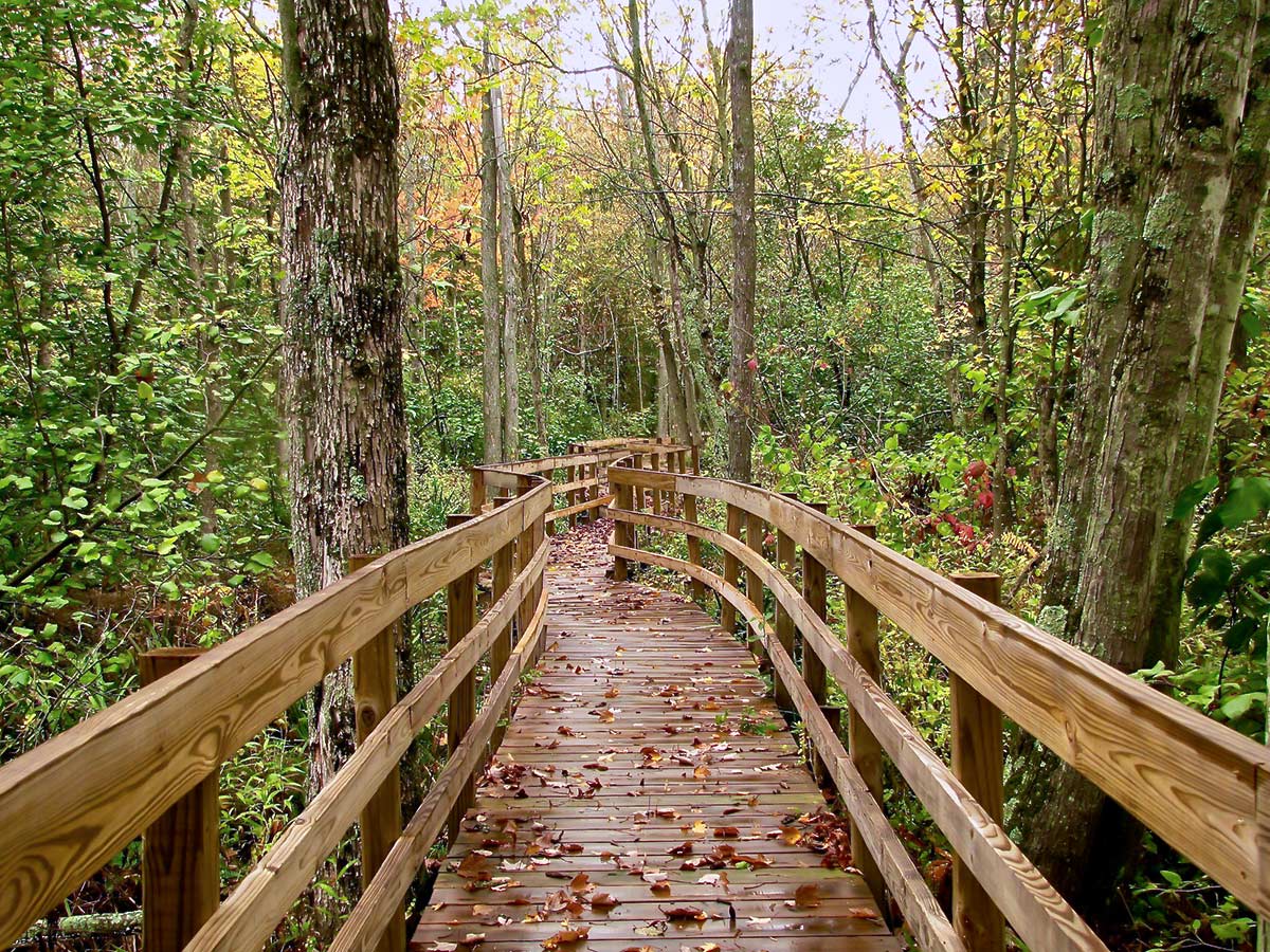
The 1200.0mi Ice Age Trail is one of the premiere long-distance hiking paths in the U.S. One of just 11 National Scenic Trails, it’s in the same class as the well-known Appalachian, Pacific Crest and Continental Divide Trails. All National Scenic Trails are at least 100.0mi long and showcase areas of exceptional beauty. In addition, they all pass through areas of historic, cultural and/or natural significance.
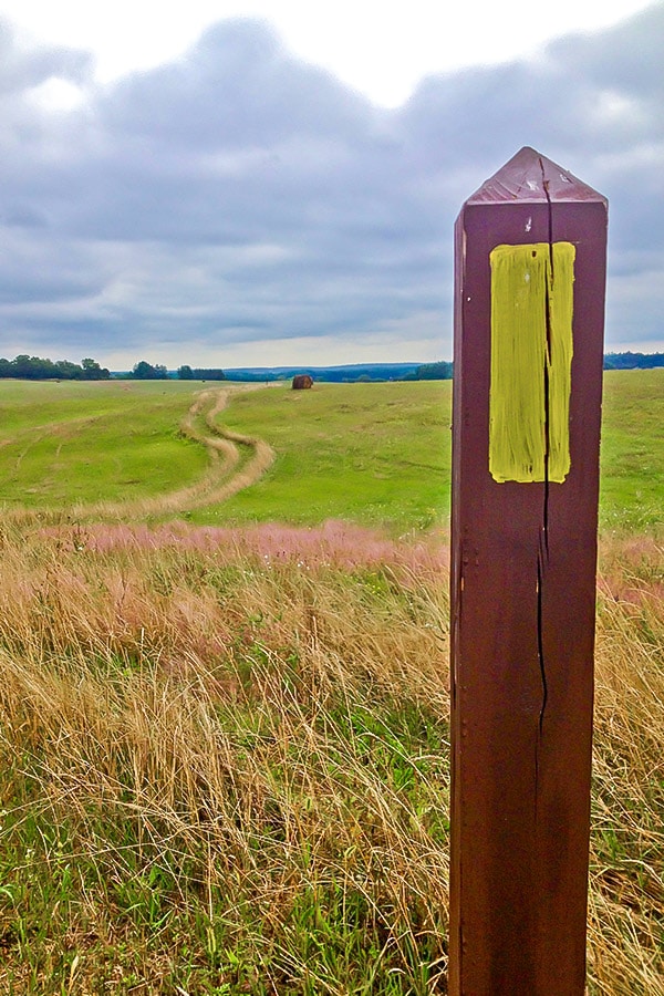
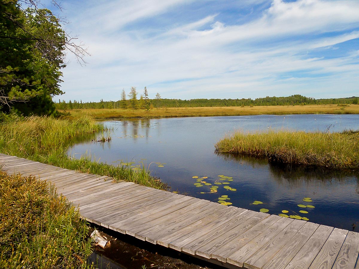
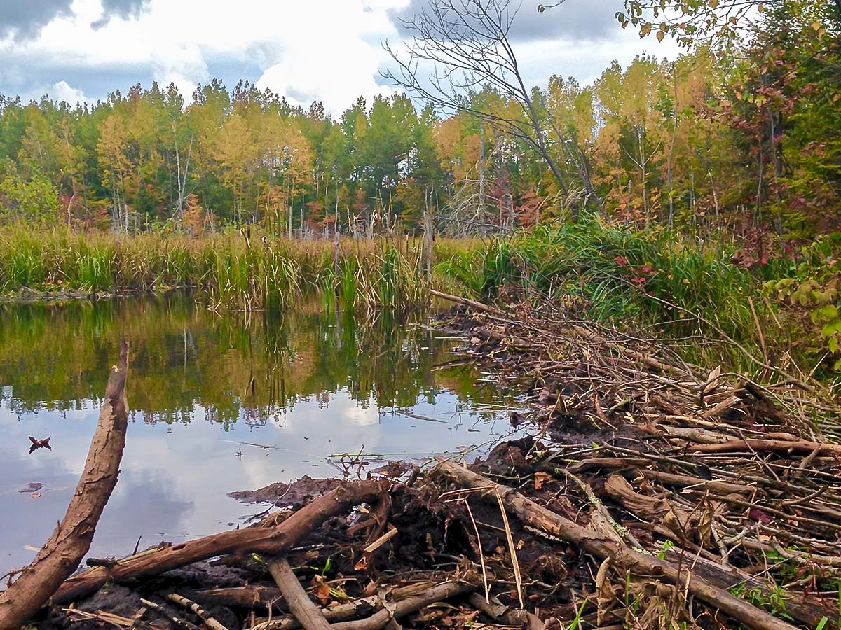
In the case of the Ice Age Trail, or IAT, its significance comes from the fact that it traces the terminal moraine, or edge, of the last North American glacier. The trail is coiled entirely within the north-central state of Wisconsin, where it boasts a wealth of well-preserved glacial remains: erratics, eskers, drumlins, kames, kettles and more.
Ice Age Trail Basics
Mileage: Just under 1200.0mi. The Ice Age Trail is not yet fully completed. Today, there are more than 600.0mi of trail and about 500 connecting road miles (805 km), the latter of which are predominantly along quiet, country roads.
Thru-Hike Time: Two to three months.
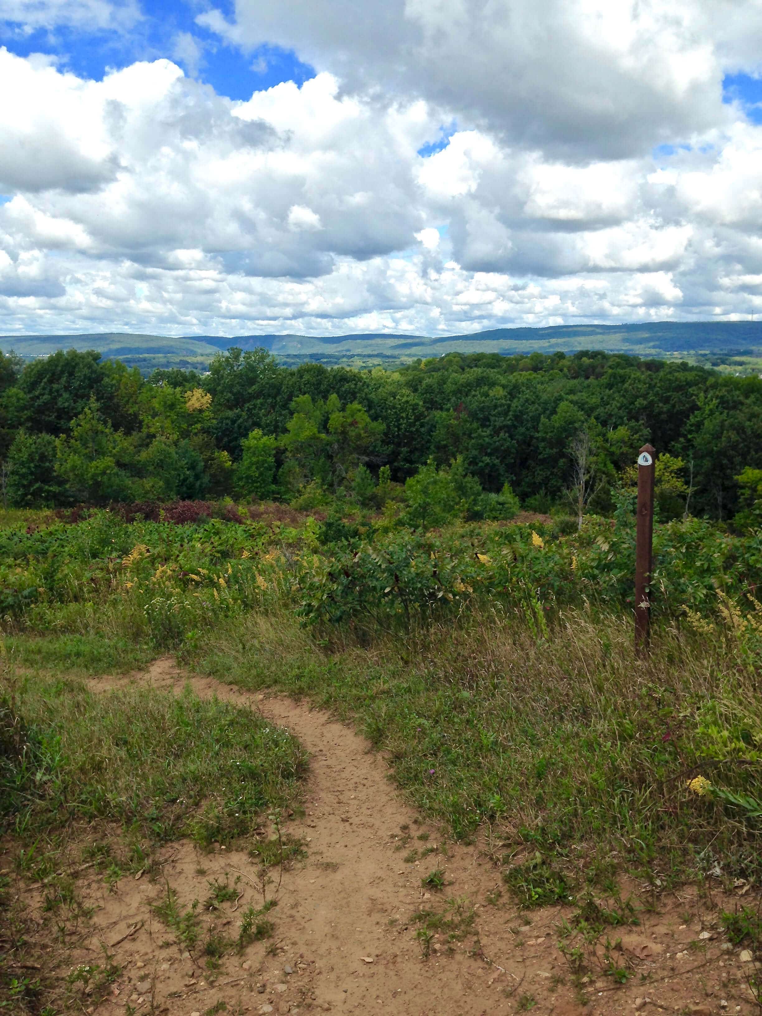
Difficulty: Moderate. The IAT is very hilly, but there are no major mountains to climb. The trail’s highest point is Lookout Mountain, at 1919ft.
Terminuses: St. Croix Falls in northwestern Wisconsin (fly into Minneapolis-St. Paul, Minn.) and Sturgeon Bay in northeastern Wisconsin (fly into Green Bay, Wis.).
Camping: As of 2020, the Ice Age Trail Alliance has placed nearly two dozen dispersed camping areas, or DCAs, along the trail. The trail also passes by or near many public and private campgrounds, and there are a fair number of backpacking (primitive) campsites in the trail’s more remote northern tier, namely where the trail passes through county or national forests. If you can’t find a campsite, the Ice Age Trail Alliance has a robust network of trail angels, many of whom are willing to shuttle hikers to campgrounds or even host them in their homes.
Motels and Inns: In general, it is easy to find lodging within 30 minutes of the trail. There are a few exceptions in the trail’s remote northwestern portions.
Map:
When to Go: The IAT is open year-round. Here’s what to expect each season.
- Spring (April – May). Wildflowers are blooming and temperatures are moderate. Trails may be soggy due to snowmelt and rain. Ticks can be problematic, especially in the northern segments.
- Summer (June – August). Can be very hot – 80s and 90s (upper 20s to low 30s C) – and humid – daily average 70-75 percent relative humidity. Biting insects such as mosquitoes and black flies can be terrible.
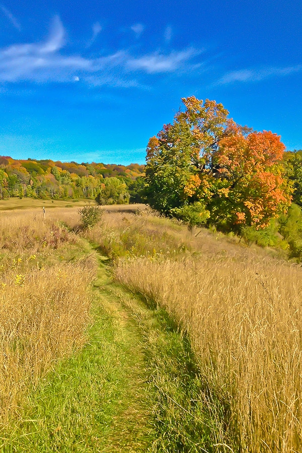
- Fall (September – November). Prime hiking season. Temperatures are moderate and problematic insects are largely gone. Also great fall foliage displays.
- Winter (December – March). Temperatures can be quite cold – in the single digits or below zero Fahrenheit (-13 to -18 C). Average winter snowfall in the north averages 50 to 70 inches (127-178cm); snowshoes or ice cleats may be needed. Winter hikes are best as short treks on temperate days.
For More Info: Check out the Facebook page for the Ice Age Trail Alliance and the Facebook group Thousand Miler WannaBes. You’ll quickly connect with others hiking the IAT, people knowledgeable about various segments, those willing to help with shuttles and more. The Ice Age Trail Alliance also sells a guidebook and maps, and you’ll definitely want to purchase the IAT Atlas Guides app.
Ice Age Trail: Sections to Explore
ST. CROIX FALLS (Western Terminus) TO CORNELL
Approximate Miles: 175.0mi
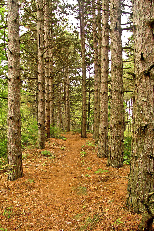
This section of the Ice Age Trail is one of the most remote and wild. Black bear are frequently sighted, so if you’re camping you’ll need a bear bag or vault. Highlights include the Straight River segment, which leads you atop an impressive esker – a winding, hilly mound of sand and gravel that once lay at the bottom of a glacial river. In Haugen, stop in at the general store to sign the trail journal. The Northern and Southern Blue Hills segments in the Rusk County Forest are especially scenic, if a little wild. In the Chippewa Moraine segment, a short spur trail takes you to an Ice Age Interpretive Center.
Camping Options
Dispersed Camping Sites (DCAs) are in the following trail segments:
- Gandy Dancer
- Straight Lake (2)
- Straight River (2)
- Harwood Lakes
Backpack Campsites are in the following trail segments:
- St. Croix Falls (St. Croix National Scenic Riveway)
- Straight Lake (Straight Lake State Park)
- McKenzie Creek (Polk County forest west of CTH-O only)
- Indian Creek (Polk County Forest)
- Sand Creek and Timberland Hills (Burnett County Forest)
- Grassy Lake (Washburn County Forest)
- Bear Lake and Hemlock Creek (Barron County Forest)
- Northern and Southern Blue Hills (Rusk County Forest)
- Chippewa Moraine (Chippewa Moraine Reserve)
- Harwood Lakes, Firth Lake, Chippewa River (Chippewa County Forest)
Traditional campgrounds (reachable by car or foot)
- Interstate State Park (St. Croix Falls)
- Big Butternut Lake Park (Luck)
- Moody’s Wildwoods and Clam Falls (Clam Falls)
- Murphy Flowage, Rusk County Remote Campsite 6 and Audie Flowage-Perch Lake Recreation Area (Rusk County Forest)
- White Trail Ridge (Sarona)
- Shady Rest Campground (Haugen)
- Waldo Carson Park (Mikana)
- Doolittle Park (Birchwood)
- Salisbury and Morris Erickson County Park (New Auburn)
- Brunet Island State Park (Cornell)
Towns for Resupply
St. Croix Falls, Centuria, Milltown, Luck, Haugen, Birchwood, Weyerhauser, Cornell
IAT Chapters and Contact Information
Indianhead
Superior Lobe
Blue Hills
Chippewa Moraine
CORNELL TO ANTIGO
Approximate Miles: 220.0mi
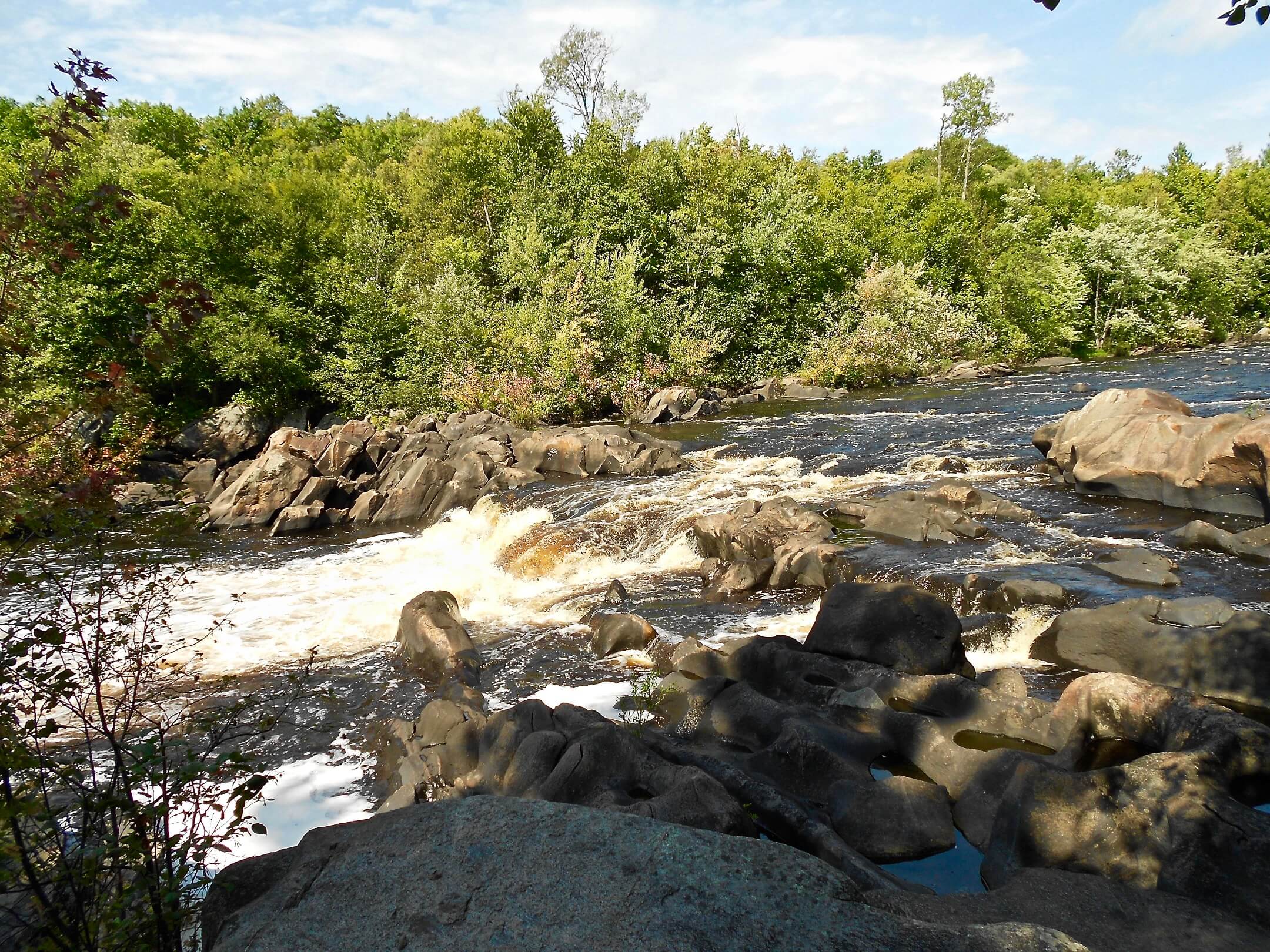
Like the previous section, this one is remote and black bears are often sighted. The Mondeaux Esker segment features another impressive esker; beware the segment’s eastern half, where there are a lot of exposed roots and swampy areas. The Rib Lake segment includes a 10.0mi spur trail to Timm’s Hill, Wisconsin’s highest point at 1952ft, while the Grandfather Falls segment showcases the highest waterfall on the Wisconsin River, with a drop of 89ft. There’s also a hydroelectric dam here.
Camping Options
Dispersed Camping Sites (DCAs) are in the following trail segments:
- Rib Lake
- Summit Moraine
Backpack Campsites are in the following trail segments:
- Lake Eleven, Jerry Lake, Mondeaux Esker (Chequamegon National Forest)
- Pine Line, East Lake, Wood Lake (Taylor County Forest)
- Rib Lake, Wood Lake (Marimor Preserve)
- Newwood, Turtle Rock, Underdown, Alta Junction, Harrison Hills (Lincoln County Forest)
- Parrish Hills, Highland Lakes Eastern and Western, Old Railroad (Langlade County Forest)
Traditional campgrounds (reachable by car or foot):
- Kathryn Lake (Medford)
- Mondeaux Dam Recreation Area (Westboro)
- Chelsea Lake and Wood Lake County Parks (Rib Lake area)
- Camp New wood County Park and Underdown Recreation Area(Merrill)
- Veteran’s Memorial Park/Jack Lake (Deerbrook)
Towns for Resupply
Rib Lake, Merrill, Parrish, Summit Lake
IAT Chapters and Contact Information
High Point
Northwoods
Langlade County

ANTIGO TO JOHN MUIR MEMORIAL PARK
Approximate Miles: 228.0mi
Now the trail begins unspooling southbound and into less-remote territory. The Lumbercamp segment just north of Antigo leads you through Peters Marsh State Wildlife Area and past remains of the old Norem Lumber Camp, dating to the 1920s. The especially scenic Dells of the Eau Claire River showcases roaring rapids and five-foot potholes carved into the bedrock by glacial waters. In Hartman Creek, you can spy one of the largest erratics on the IAT, erratics being rocks that the glacier dragged from one region to another. This section ends with a short hike through land that was part of John Muir’s boyhood home. Muir was an important Scottish-American naturalist and early advocate for preserving the U.S. wilderness.
Camping Options
Dispersed Camping Sites (DCAs) are in the following trail segments:
- Ringle
- Rice Lake Preserve (south of Ringle)
- Mecan River
Backpack Campsites are in the following trail segments:
- Lumbercamp, Kettlebowl (Langlade County Forest)
- Waupaca River (trailside cabin)
Traditional campgrounds (reachable by car or foot):
- Dells of the Eau Claire County Park (Aniwa)
- Iola Winter Sports Club (shelter)
- Hartman Creek State Park (Waupaca)
- Hancock Village and Tomorrow Wood (Hancock)
- Coloma Camperland (Coloma)
Towns for Resupply
Antigo, Hatley, Rosholt, Scandinavia, Waupaca, Wild Rose, Wautoma, Richford, Westfield, Montello
IAT Chapters and Contact Information
Central Moraines
Waupaca County
Portage County
Waushara County
Marquette County
JOHN MUIR MEMORIAL PARK TO JANESVILLE
Approximate Miles: 218.0mi
A highlight of this section is Devil’s Lake, Wisconsin’s most popular state park. The trail leads you up its 499ft quartz bluffs, which afford spectacular views of the park’s namesake lake. A free ferry ride (yes, part of the trail) takes you to the Gibraltar Rock segment, where you’re treated to sweeping views of the valley below and the Baraboo Hills.
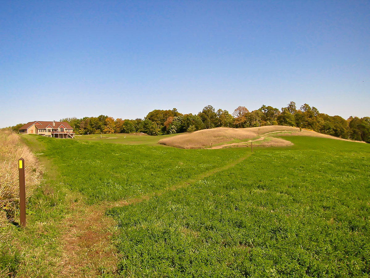
Hiking through Dane County, home of Wisconsin’s capital city of Madison, the trail becomes more urban, leading you into pockets of green hidden behind fancy homes and around the popular University Ridge Golf Course. In Janesville, a city of 65,000, the trail winds through its arboretum and along the Devil’s Staircase, a steep, hilly trail created in the 1930s by the U.S. Civilian Conservation Corps.
Camping Options
Dispersed Camping Sites (DCAs) are in the following trail segments:
- Gibraltar Rock
- East Lodi Marsh
- Springfield Hill
- Cross Plains
- Verona
- Montrose
There are no backpack campsites in this portion of the Ice Age Trail.
Traditional campgrounds (reachable by car or foot):
- Veterans Memorial Field/Columbia County Fairgrounds (Portage)
- Devil’s Lake State Park (Baraboo)
- Smokey Hollow (Lodi)
- Indian Lake County Park (cabin, with advance permission)
- New Glarus Woods State Park (New Glarus)
- Sweet Minihaha (Albany)
Towns for Resupply:
Portage, Baraboo, Lodi, Cross Plains, Madison, Verona, Monticello, Albany, Janesville
IAT Chapters and Contact Information
Baraboo Hills/Heritage
Lodi Valley
Dane County
Rock County
JANESVILLE TO GREENBUSH
Approximate Miles: 142.0mi
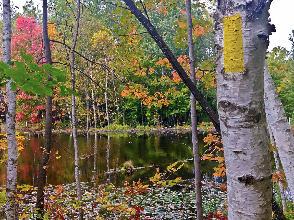
Now the trail unspools some 300.0mi northbound to its eastern terminus in Sturgeon Bay. The most significant section here is Kettle Moraine State Forest, internationally known for its incredible glacial features. Some 60.0mi of the IAT wind through Kettle Moraine. In between its Northern and Southern Units is a beautiful trifecta: the Monches, Loew Lake and Holy Hill segments, which offer dramatic views of kames and deep kettles. These segments are especially beautiful when the fall colors are peaking.
Camping Options
Dispersed Camping Sites (DCAs) are in the following trail segments:
- Clover Valley
- Kewaskum
Backpack Campsites are in the following trail segments:
- Whitewater Lake, Blackhawk, Stony Ridge, Scuppernong (Kettle Moraine State Forest – Southern Unit; campsites and shelters)
- Lapham Peak (Kettle Moraine State Forest – Lapham Peak Unit)
- Pike Lake (Kettle Moraine State Forest – Pike Lake Unit)
- Milwaukee River, Parnell, Greenbush (Kettle Moraine State Forest – Northern Unit; campsites and shelters)
Traditional campgrounds (reachable by car or foot):
- Blackhawk and Lakeland (Milton)
- Scenic Ridge (Whitewater)
- Naga-Waukee County Park (Delafield)
- Timber Trail (West Bend)
Towns for Resupply
Janesville, Milton, Palmyra, Eagle, Delafield, Hartland, Slinger, West Bend
IAT Chapters and Contact Information
Rock County
Walworth/Jefferson County
Waukesha/Milwaukee
Washington/Ozaukee
Lakeshore
GREENBUSH TO STURGEON BAY (Eastern Terminus)
Approximate Miles: 157.0mi
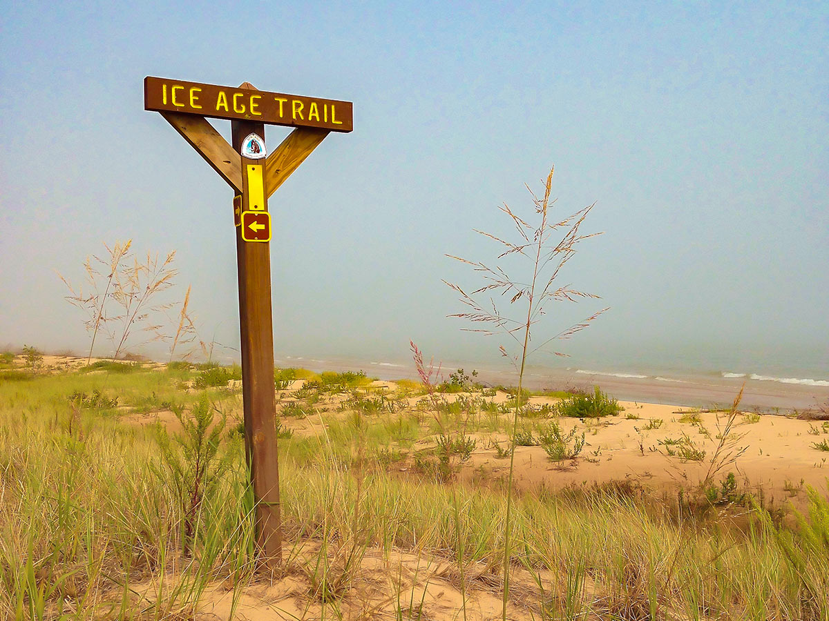
This final stretch of the IAT contains a high concentration of connecting road routes. Highlights include the 10.0mi Point Beach segment, which leads you along the shores of Lake Michigan and across ancient beach ridges and swales before unrolling through fragrant pine forests. The Michicot segment passes through an old covered bridge, then up a small esker. Enjoy your stroll through Sturgeon Bay before it winds through Potawatomie State Park and the trail’s eastern terminus.
Camping Options
Dispersed Camping Sites (DCAs) are in the following trail segments:
- East Twin River
- Tisch Mills
Backpack Campsites (hike-in) are in the following trail segments:
- Point Beach (Point Beach State Forest)
- Sturgeon Bay (Potawatomie State Park)
Traditional campgrounds (reachable by car or foot):
- Plymouth Rock (Plymouth)
- Broughton Sheboygan Marsh County Park (Elkhart Lake)
- Manitowoc County Expo Center (Manitowoc)
- Seagull Marina and Scheffel’s Hideaway (Two Rivers)
- Cedar Valley and Kewaunee Village (Kewaunee)
- Timber Trail, Big Lake, Ahnapee River Trails (Algoma)
Towns for Resupply
Elkhart Lake, Manitowoc, Two Rivers, Mishicot, Kewaunee, Algoma, Sturgeon Bay
IAT Chapter and Contact Information
Lakeshore

Comments