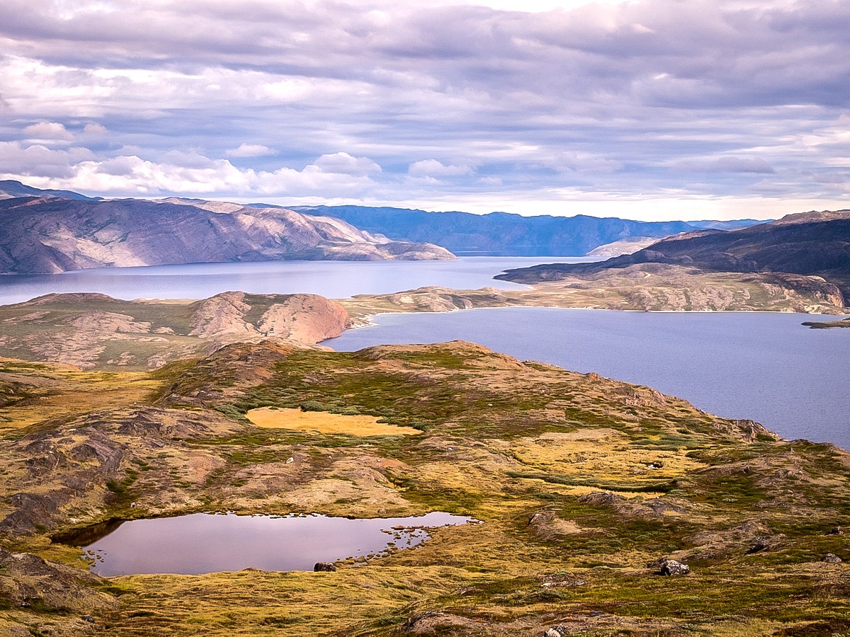
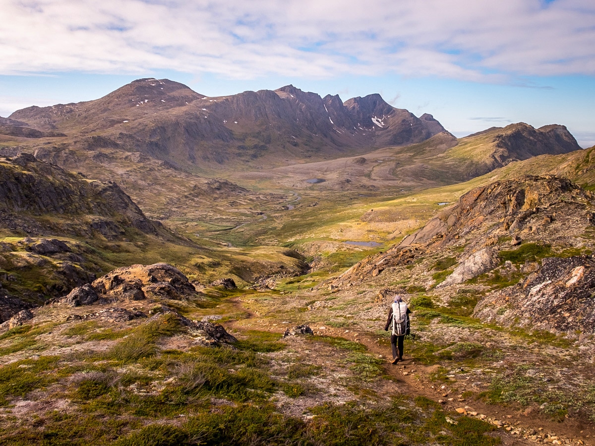
“There are no roads between the settlements in Greenland. Daily life is dictated by the amount and quality of ice. To travel, you have to either have to walk, catch a plane or a helicopter, take a boat, venture out on a dog-sled or hitch a ride on a skidoo – if the weather allows for it. Only a twenty-minute walk from the centre of Greenland’s second largest city, Sisimiut, brings you out into the great expansive wilderness. There is nowhere in the world quite like it.”
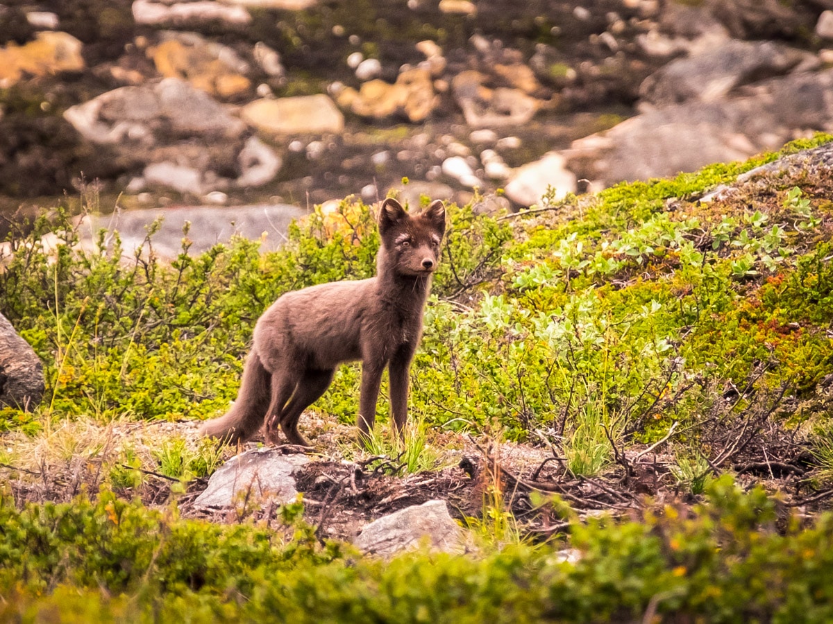
“There is no cell signal on this trail, no internet, and no little stores to sell you chocolate. There is nothing except the call of loons, rolling arctic tundra, beautiful Greenland wildflowers, and perhaps, if you’re lucky, a glimpse of a musk ox, reindeer, arctic fox, or arctic hare. If you really want to escape it all, then this trail is every hiker’s dream.”
Lisa, from Australia, is talking about her experience hiking the Arctic Circle Trail (ACT) in late August. An avid long-distance hiker, this was Lisa’s ninth long-distance trek. Having previously travelled to Greenland twice before, she fell in love with the place and chose to return to experience it further. The ACT follows a 99.4mi trail from the only inland town of Kangerlussuaq to the western edge of Greenland, ending at the city of Sisimiut. And, as the name suggests, it takes you along the region of the Arctic Circle.
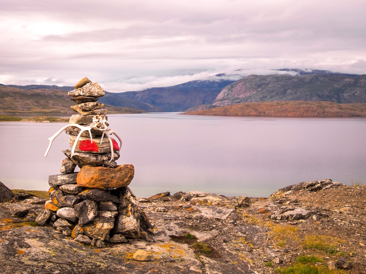
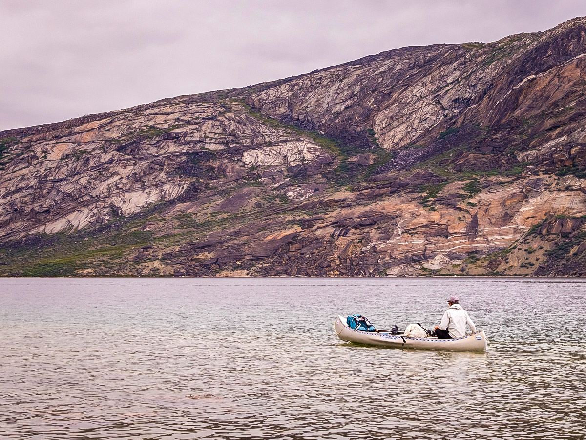
Overall, the trail took Lisa eight days to complete and she had to carry all the weight she needed on her back. Fortunately, having done four long-distance trails in the previous two months in Iceland, she had grown strong; it didn’t take long to get used to the extra weight. “There is nothing along the trail except water”, Lisa tells me, “you have to be self-sufficient and carry everything else with you”. “The hardest part of the trip came at the end of day one when I realised the person responsible for buying the gas for our cooking stoves bought the wrong type of canister. Luckily other trekkers generously helped us out, and we found some (mostly-empty) gas cannisters left at some of the huts!”
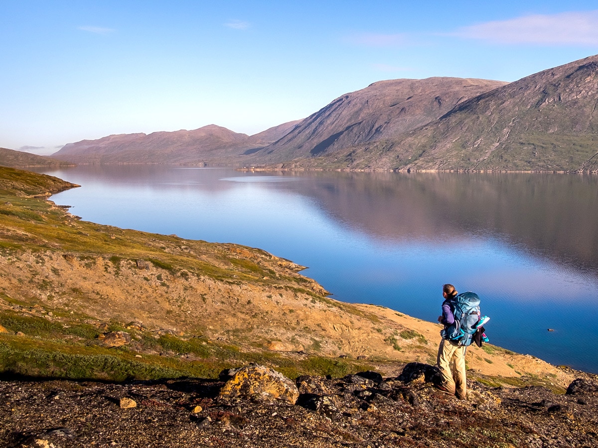
The tales she tells are the adventures you only usually read about in fiction novels: “We found one of the legendary canoes about half-way through day two of our trek! Following the shoreline of the largest lake on the trail, the Amitsorsuaq Lake, we headed towards the Canoe Centre. Today it no longer fulfils its named purpose but a few of the canoes are still said to be lying around, complete with life jackets, oars (if you can call them that), and massive duct-tape patches on their hulls – and we found one! We got the full trail experience as we actually canoed part of it too”.
Although you can free-camp anywhere in Greenland, most people choose to follow the schedule for the trail as defined by the location of the 9 backcountry huts along its length. However, Lisa stresses that most of the huts are very small so it is highly likely you will be staying near the hut in your tent, rather than in the hut itself. As a result, a good-quality 3-season tent is a must-have on the trail. Overall, she spent 2 nights inside huts, 3 nights camped just outside of them, and 2 nights wild camping.
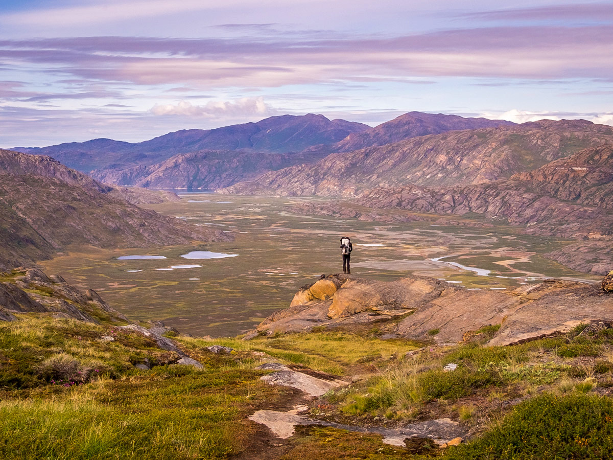
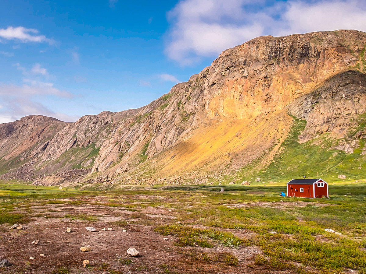
Talking about the equipment required, Lisa tells me her pack weighed around 18kg, with 3kg of this being camera gear. If there was one piece of advice she could impart, she stresses the importance of solid waterproof hiking boots. The trail itself is quite boggy in places so they are essential to keep your feet dry and warm. Lisa herself used the Lowa Mountain Expert GTX Evo Mountaineering boot but admits they were a bit overkill for this trail – “They were very heavy and very stiff mountaineering boots, which aren’t necessary on the ACT. A good pair of sturdy, waterproof hiking boots would be more than adequate”, she recalls.
When it comes to safety, Lisa also recommends investing in a personal emergency locator. With no cell phone coverage at all, if something were to happen on the trail, there would be no way to get help. Depending on where the incident happens, it can take another trekker at least 2.5 days to get word to emergency services. She personally used the Garmin InReach SE+ to send check-ins to her family so they knew she was ok. Further, if something drastic did occur, she could hit the SOS beacon to send out a distress signal to the nearest emergency services.
Scheduled to be released later this month, it is now easier than ever to embark on the Arctic Circle Trail. Visit Greenland will soon publish the Ultimate Guide to the Arctic Circle Trail with information about the trail, GPS waypoints, how to prepare, and what to pack. It also links to other blog posts about experiences on the trail, including Lisa’s Arctic Circle Trail adventure.

Lisa herself used the best option on offer at the time: The Cicerone guide: Walking the Arctic Circle Trail. It provides detailed day-to-day descriptions of the route and has just been updated for 2019. She also utilised the Arctic Circle Trail Facebook group, where she was able to meet others and ask questions of those who had done the hike before.
Lisa stresses that if you go to the expense of flying to Greenland to hike the trail, you should budget extra time either before and/or after to explore the surrounding areas. “There are so many fascinating places to visit and the landscape of the country varies dramatically depending on your geographic location!” she enthused.
Given this was her third trip to Greenland, she elected to spend an extra week in Sisimiut and used Guide to Greenland (which brings together most of the tours available in the country) to help her plan her activities. However, she also recommends heading further north to experience the unique and incredible UNESCO World Heritage listed Icefjord near Ilulissat. The added advantage being that there are usually direct flights back to Copenhagen or Reykjavik from there.
When asked what was next, Lisa eagerly responds: “More hiking of course”! She is now off with a friend to Nepal to continue her adventures and hike for 5 weeks straight. First, they are tackling the Manaslu Circuit then following a self-made trek through the Nar Phu Valley, across the Teri La Pass, and down the Upper Mustang. Don’t worry, we’ll be sure to catch up with Lisa when she’s back!
TL; DR: Key Questions answered by Lisa!
1. Can you tell us more about the most important gear?
- Sleeping bag: Enlightened Equipment -17 degree Revelation Sleeping Quilt
- Very adaptable – if the weather is relatively warm (like on the ACT) you can open it out and kick a part of the quilt off. If it is particularly cold, you can close the foot box, strap it tightly to the mat, draw the upper part closed, and put on a hoodlum to keep you warm.
- Tent: Hyperlite Ultramid. We didn’t like this tent, and have moved on to the Hilleberg Anjan 3, which we really like.
- Backpack: Osprey Aura 65L
- Sleeping pad: Thermarest Neoair Xtherm (450g)
- Shoes: Lowa Expert GTX Evo mountaineering boots
- Head net! This can be as cheap as $3 but you will regret not having it if the Greenlandic mosquitoes find you on the trail.
2. Do you think anyone can do this trip?
If you have done a few 2 to 3-day hikes before, have the appropriate gear, and are capable of walking for 8 days carrying a relatively heavy pack, this is a fairly simple through-hike. There is not a lot of altitude gain/fall and the trail is very easy to follow.
3. How did your initial motivation to get on the trail evolve over the duration of your hike?
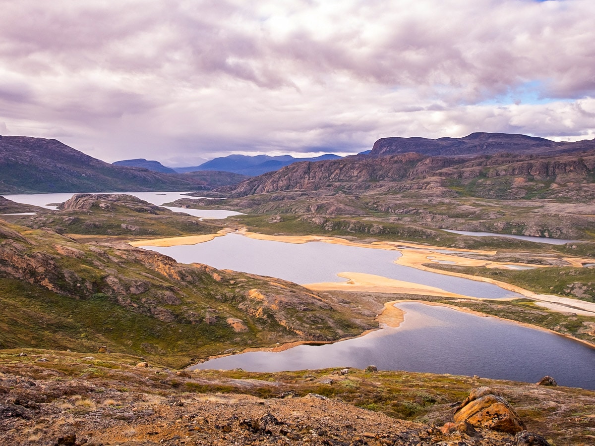
The initial motivation – to explore different areas of Greenland – just became stronger as I hiked. As I expected, West Greenland has completely different scenery to the South and the East, and this has just piqued my curiosity further to see other parts of this amazing country. Even as you hike from Kangerlussuaq to Sisimiut, the landscape changes quite a bit – a function of the retreat of the glaciers.
4. Finally, why should somebody do this trail?
It is rare to find a hiking trail that has you in remote wilderness within an hour of walking out of town. In addition, it is a relatively simple trail that is very well marked and, at the moment at least, is not very crowded – even in peak season. When I hiked from mid to late August (the end of peak season), I came across about 20 other people heading in the same direction, and about the same number hiking in the opposite direction. Mostly we would meet up at the end of the day around the huts, but during the day while hiking, it was rare to have anyone else within sight.
Comments
Tim6 years ago
This seems like a serious adventure!
Replylgermany6 years ago
It is certainly a remote adventure, but if you are an experienced long-distance hiker - it is actually relatively easy. It is not often you get to be so far from everything so it is a great hike to undertake
Kamil6 years ago
wow, this is actually a dream hike for me. thanks for the info!
Replylgermany6 years ago
Glad to hear! It is a wonderful hike and glad you found the info useful.