


Schmittenhohe - Mauerkogel Hike
View PhotosSchmittenhohe - Mauerkogel Hike
Difficulty Rating:
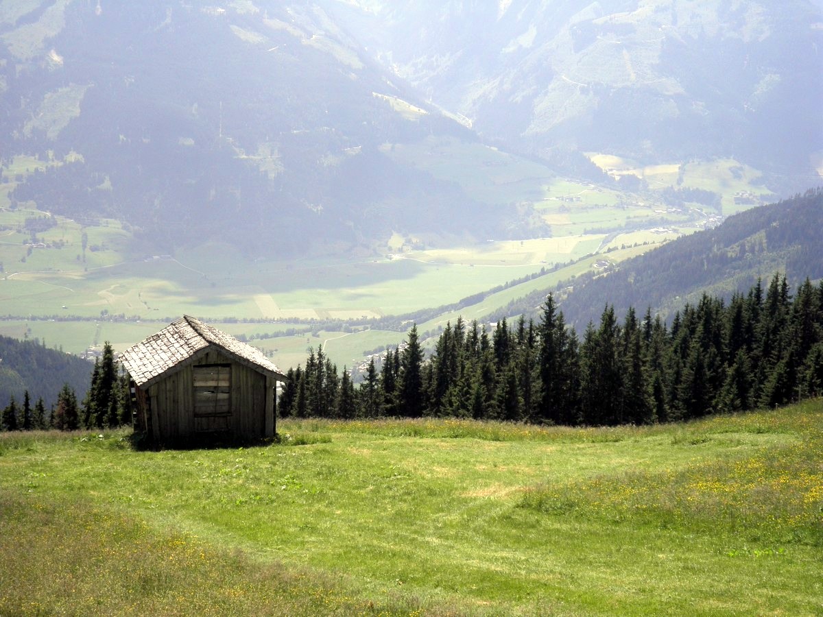
The Schmittenhohe - Mauerkogel hike is perfect if you are a big fan of great views, reaching a mountain peak, and enjoying a hike at alpine altitude. This is another great hike near Zell am See. Starting the hike at the top of the Schmitten cable car, you are immediately surrounded by beautiful mountain scenery, and an old mountain hut. Join in on the fun!
Getting there
Travel to Zell am See center by car, train or bus. If by car, follow the signs to the Schmitten cable car and park at the bottom. If by train, get off at the train station, get on the main road in Zell am See and follow the signs as well. If by bus, get off at the bus station and follow the signs straight uphill to the cable car.
About
| When to do | June to September |
| Toilets | Schmitten café, Hochsonnberg alm |
| Pets allowed | Yes |
| Family friendly | Yes |
| Route Signage | Average |
| Crowd Levels | Moderate |
| Route Type | Lollipop |
Schmittenhohe - Mauerkogel Hike
Elevation Graph
Weather
Route Description for Schmittenhohe - Mauerkogel Hike
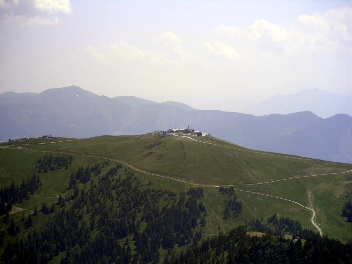
What better day can you have in Zell am See than a wonderful hike in the alpine? After enjoying the cable car ride up the Schmitten mountain, you are ready for your hike. From the Schmittenhöhebahn Bergstation, head off in a south direction. Your goals are the Mauerkogel and Hochsonnberg Alm.
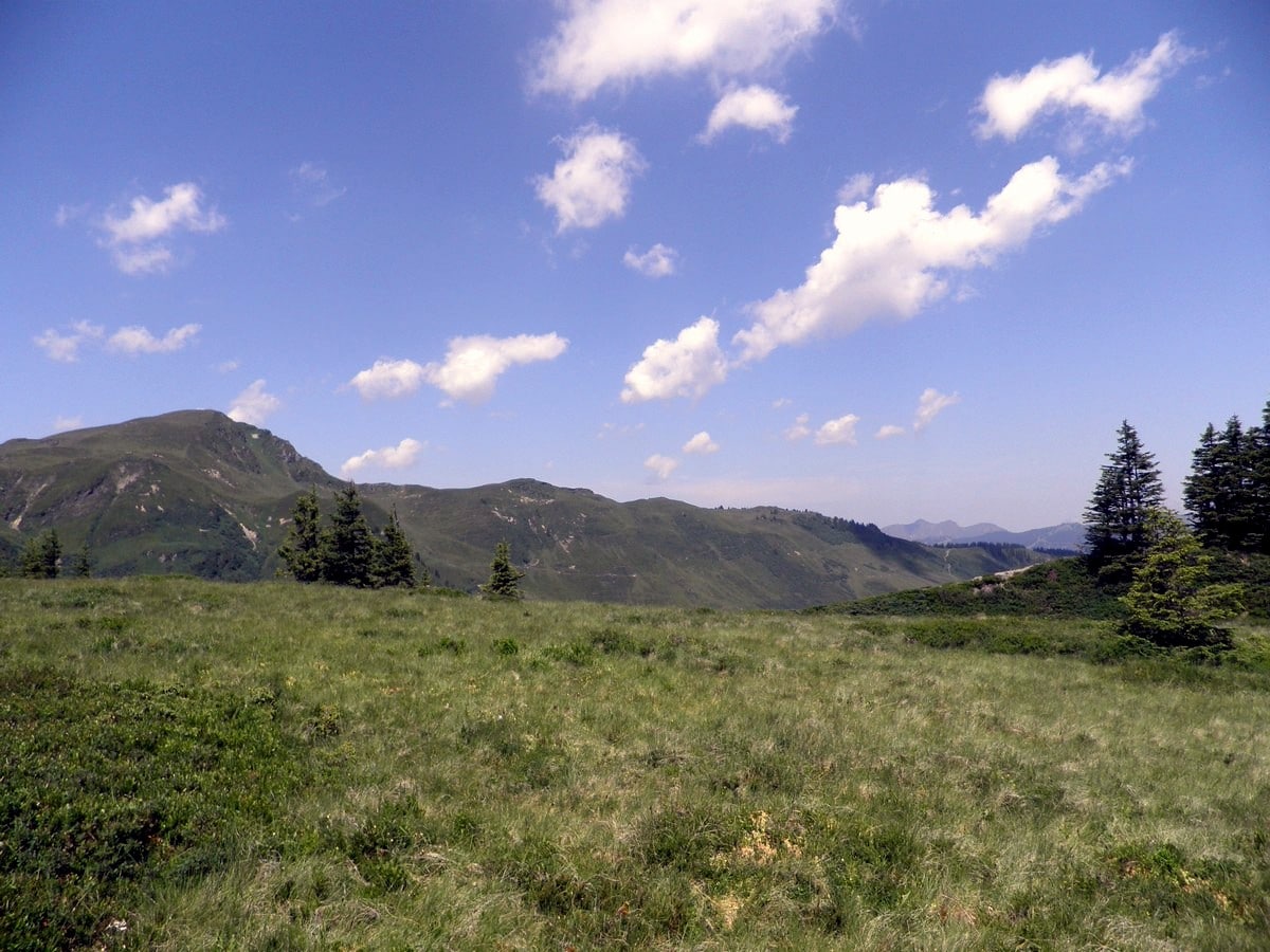
The hike starts with a descent towards the Kettingtörl, after which you will pass the Hahnkopf skilift. The trail then heads westwards, towards the Kettingkopf (6119ft). Since you are at high altitudes, vegetation consists of alpine grass lands, bushes and Alpenrose. Continue your way over the Kesselscharte.
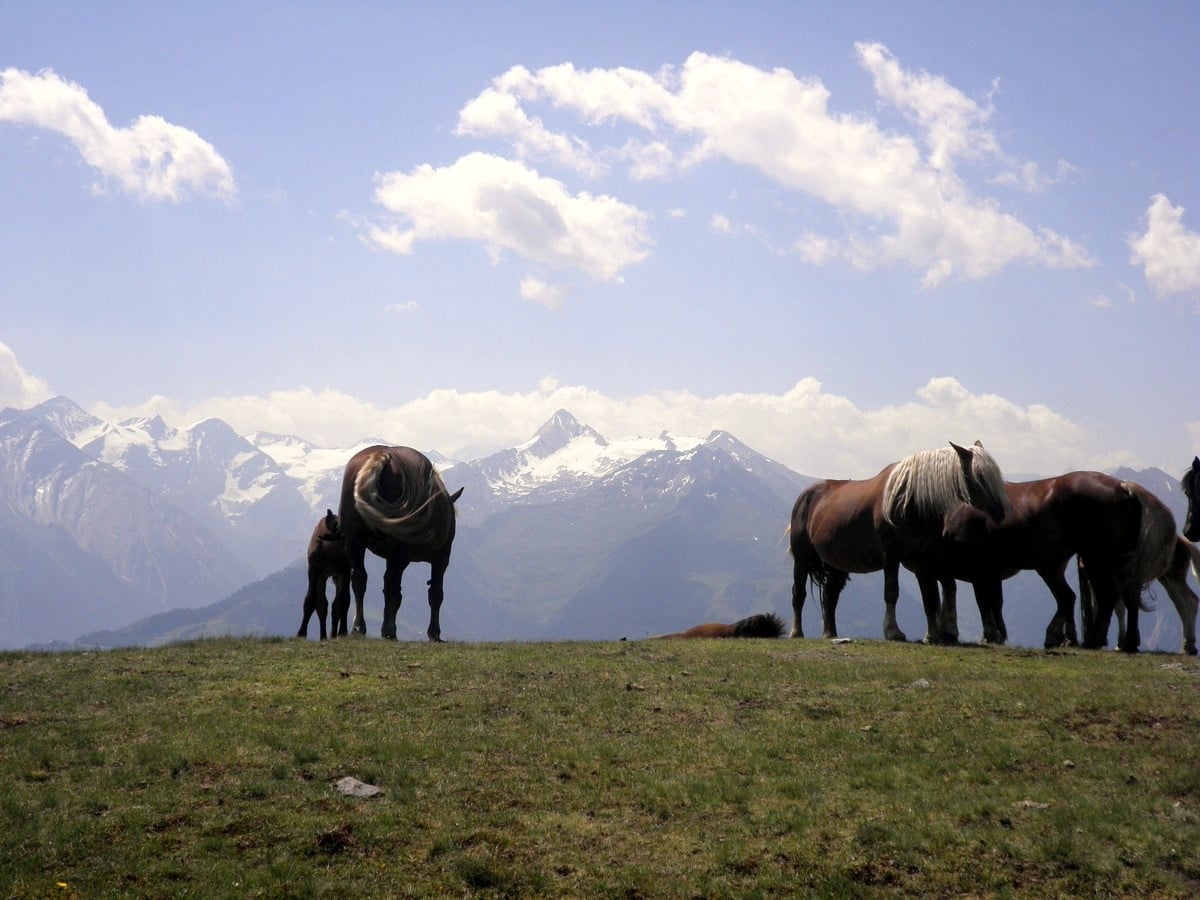
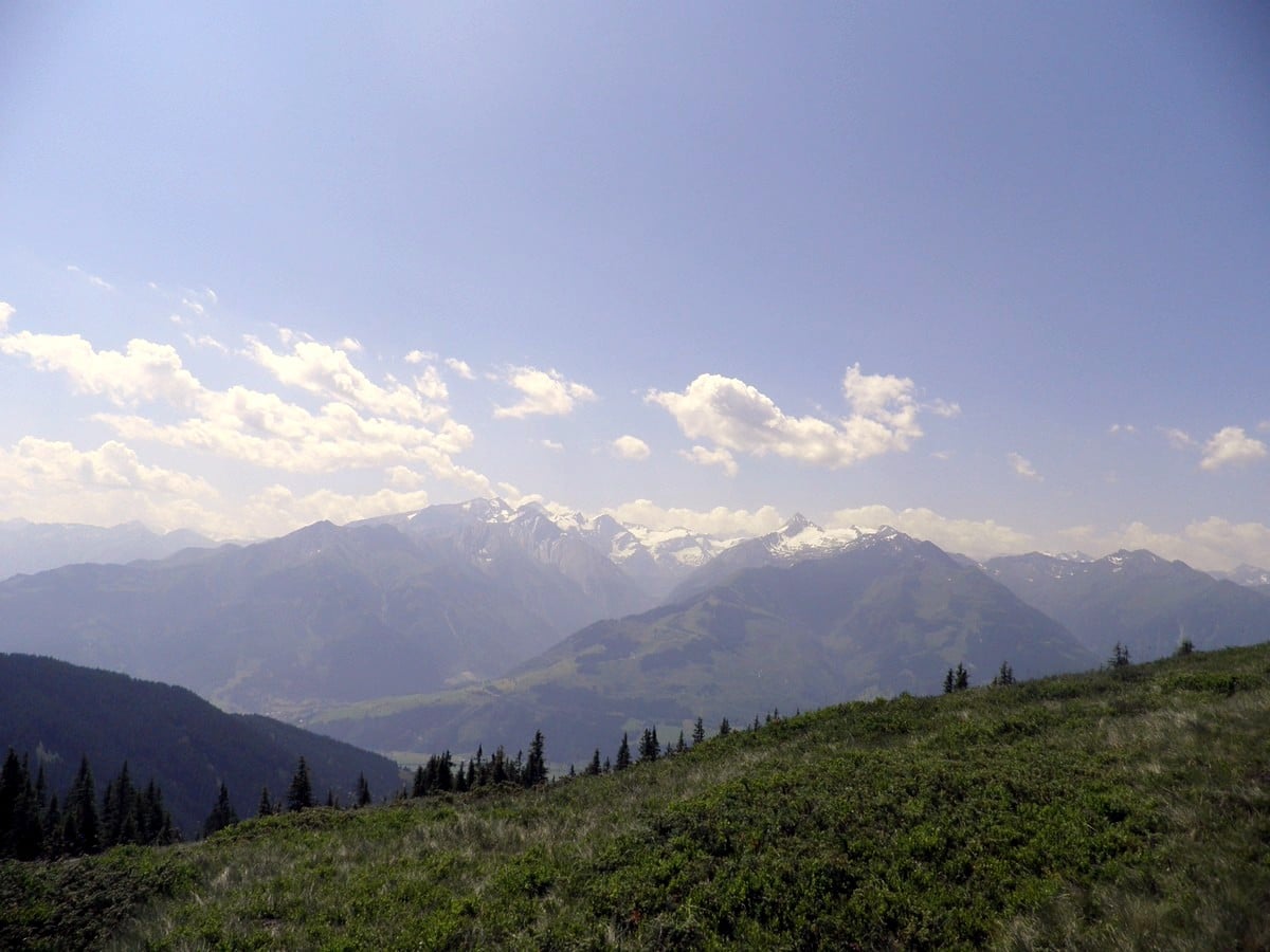
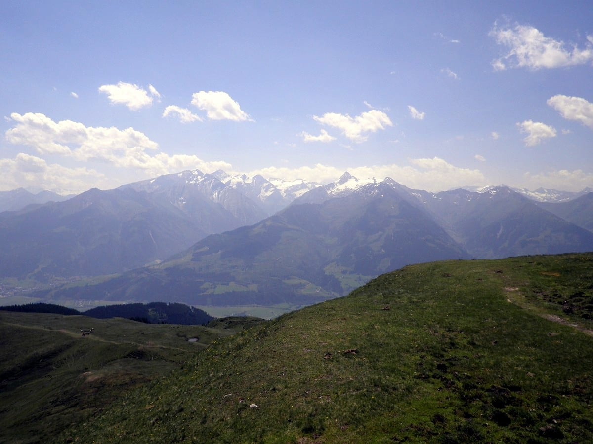
At an altitude of 6050ft, you will then come at a cross section where you have the chance to continue on the ‘Pinzgauer Spaziergang’ trail (Number 719). Do this and follow the fork to the right, heading west again. When you are looking to the south, you have views of the Kitzsteinhorn and its surrounding mountains. In the north, you see the slopes and peaks of Saalbach-Hinterglemm.
After about 20 minutes hike on the ‘Pinzgauer Spaziergang’, you will hit another cross section. Here you have the choice to continue on the left fork, or you can choose the right fork and head off for the peak of the Mauerkogel (6716ft). Of course, we advise you to go right!
Go along the ridge towards the peak. Once you have reached the peak, have a break and enjoy the great view. On clear days you can see the peaks of the Hohe Tauern, the Northern Kalkhochalpen and the Wilden Kaiser. Do not forget to sign the ‘Gipfel’ (peak) book which is stored in the box on the cross.
To continue your tour, leave the peak on the right-hand side and follow the red marks down. The trail leads you past the Rohertörl, after which you hit a cross section again. Here you have a broad choice in routes. Choose the left fork, which sharply turns left and heads downhill.
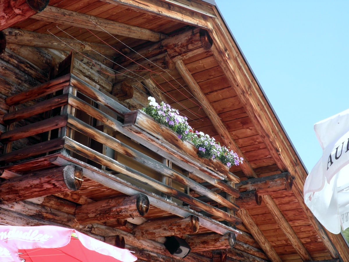
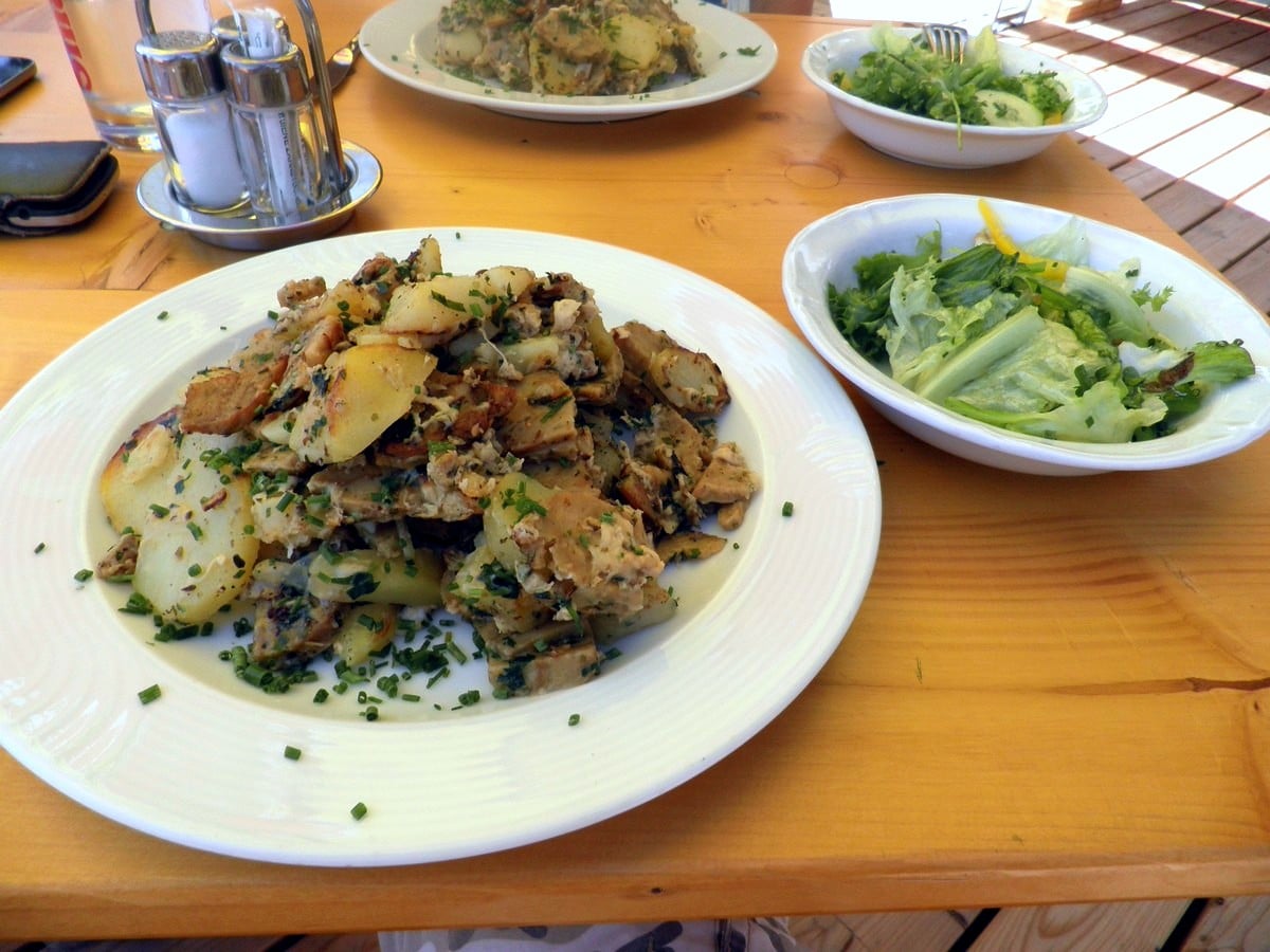
After a slight descent, the trail levels out. You will get into an area with more vegetation; bushes and small trees. On this trail, you will reach the Hochsonnberg Alm (mountain hut). This mountain hut has a comfortable atmosphere, which is typical for the Pinzgauer region. This is also shown in the local products, such as homemade cheese, jams, cakes, and lunch plates, which can be ordered on the sunny terrace. Enjoy your lunch at this beautiful spot!
To return to the top of the cable car, follow the trail (Pinzgauer Spaziergang Number 719) on the other side of the hut. Take the cable car down, and finish your day with a nice drink in the center of Zell am See!
Insider Hints
In huts like the Hochsonnberg Alm, products produced by their own farm and animals are offered. If you are visiting the Alm on a warm summer day, it is very nice to ask for a glass of their own buttermilk. Very tasty and refreshing when served cooled!
Ask your accommodation if they offer the Zell am See - Kaprun Summer card. With the card, normal bus traffic between Zell am See and Kaprun is for free, as well as the cable car ride up to the peak of Schmitten.
Are you in for a real Pinzgauer close to your day on the mountain? Make a final stop at Schmitten Café at the top of the cable car and order a glass of ‘Schnapps’ (traditional Austrian brandy). Willi-Birne (pear) or Obstler (mixed fruit) is recommended for the guys, while ladies can enjoy a tasty Marille (peach) or Nuβ (hazelnut). Prost (cheers)!
Similar hikes to the Schmittenhohe - Mauerkogel Hike hike
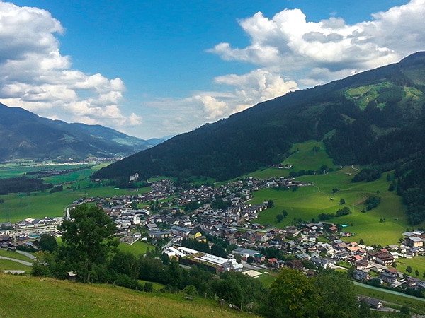
Maiskogel Forest Route Hike
The Maiskogel Forest Route hike takes you up the local mountain of Kaprun. This is a lovely hiking adventure through…
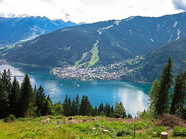
Schwalbenwand & Schönwieskopf Hike
The Schwalbenwand & Schönwieskopf hike is a classic Austrian hike! This fantastic trail has you hiking up two peaks, Schwalbenwand…
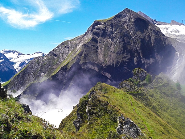
Glacier Lake & Geisstein Hike
The Glacier Lake and Geiβstein hike is a wonderful hike near Zell am See. This is a varied hike covering…
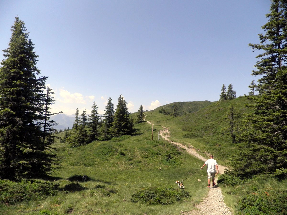


TutiDulce 5 years ago
Lovely views from the top of the cable car, Recommend it
Cloudhigh 5 years ago
The views are wonderful and absolutely one of the most beautiful locations I have had the pleasure of visiting
Kamil Blajak 5 years ago
Great hike, surrounded by magnificent mountains
Antonia Monte Alba 6 years ago
Magnificent view of the beautiful mountain scenery. Great adventure for the whole family.
Sandy C. 6 years ago
There's a lot of amazing views if you're in the cable car. Great place to take a lot of photos.
Dawn C. 6 years ago
Outstanding environment. Enjoyed the singing birds during the hike.
Roed Oern 6 years ago
Astonishing views from the top of the mountain. Amazing. I had a great time in Austria.
Macyj 6 years ago
The local produce here was really nice. I got some cheese with me. Sadly could not take more, the journey would have been a lot harder.