


Pinzgau Hut Loop Hike
View PhotosPinzgau Hut Loop Hike
Difficulty Rating:
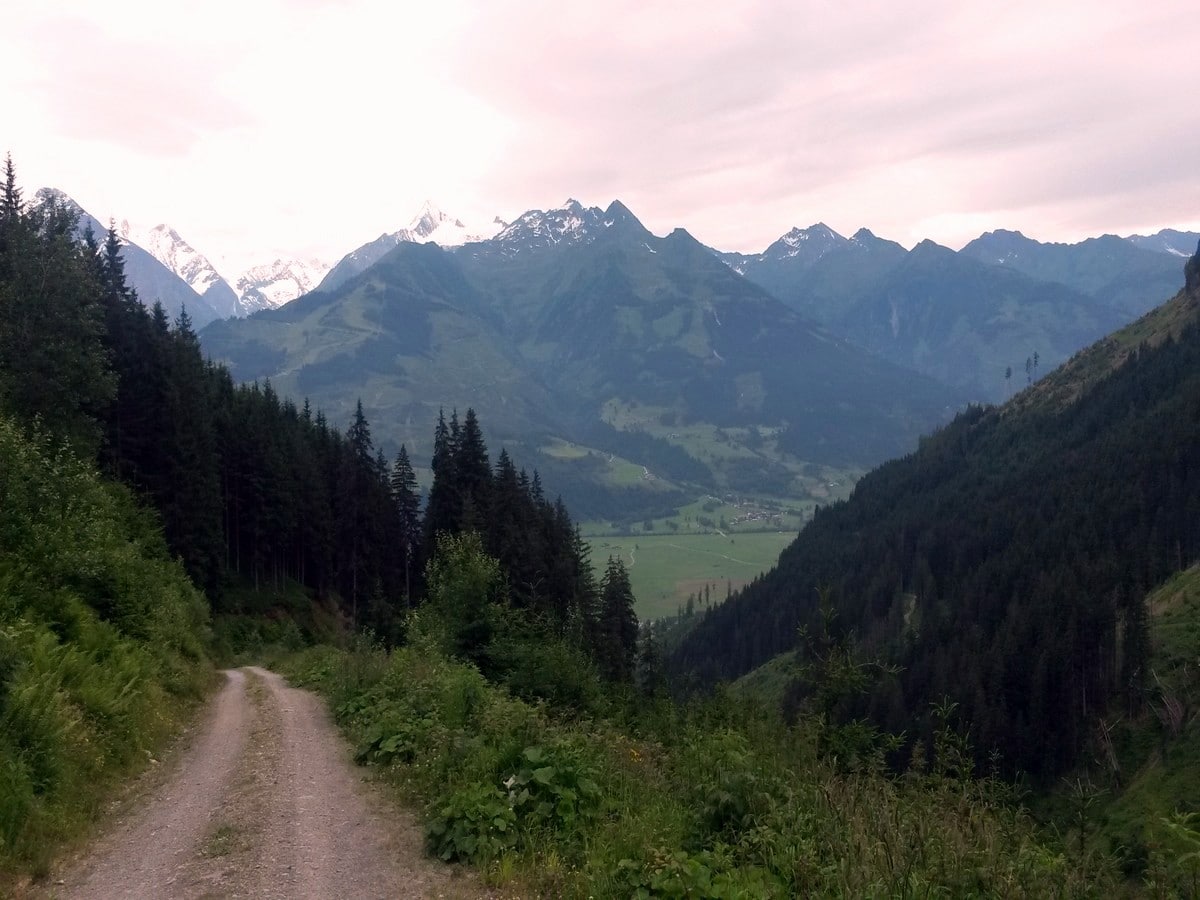
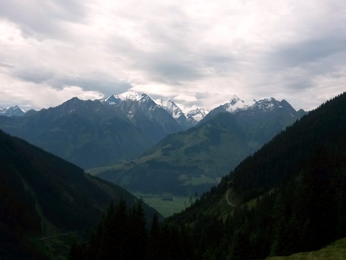
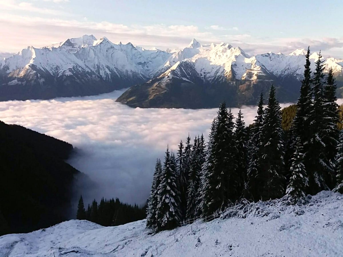
The Pinzgau Hut Loop hike is a wonderful hike: not too easy yet also not too difficult. Hike up the side of the main mountain of Zell am See: Schmitten. When you reach the highest point, you are greeted with a wonderful view of the surrounding mountains, Kaprun and the Kitzsteinhorn. Plan on eating at the hut at the top, it’s wonderful!
Getting there
The starting point lies in Fürth, a small village just outside of Kaprun. Drive towards Kaprun on the main road (168) and at the roundabout before turning to Kaprun, lies Fürth. Drive into the village, find a parking place and walk uphill. When travelling by bus, travel to Zell am See and then take the 660 towards Kaprun and get off at the bus stop of Fürth, walk to the center and then uphill.
About
| When to do | April to October |
| Toilets | Pinzgauer mountain hut |
| Pets allowed | Yes |
| Family friendly | Yes |
| Route Signage | Average |
| Crowd Levels | Moderate |
| Route Type | Circuit |
Pinzgau Hut Loop Hike
Elevation Graph
Weather
Route Description for Pinzgau Hut Loop Hike
When at the center of the village of Fürth, follow the street further up hill. The signing you are aiming for is route Number 9a, also called the “Pammerweg”. You continue on this normal road up the mountain in a northerly direction, until you hit the small sub-village of Oberberg. The route now takes a turn to the left and will change to a trail, instead of a road. Follow the trail towards the west.
When you are on the trail, a transition comes along, where you will change to route Number 1a. At the transition from one route to another, there is a great viewing point which is a nice place to take some photos. The trail starts to ascend more quickly and turns in a northerly direction again.
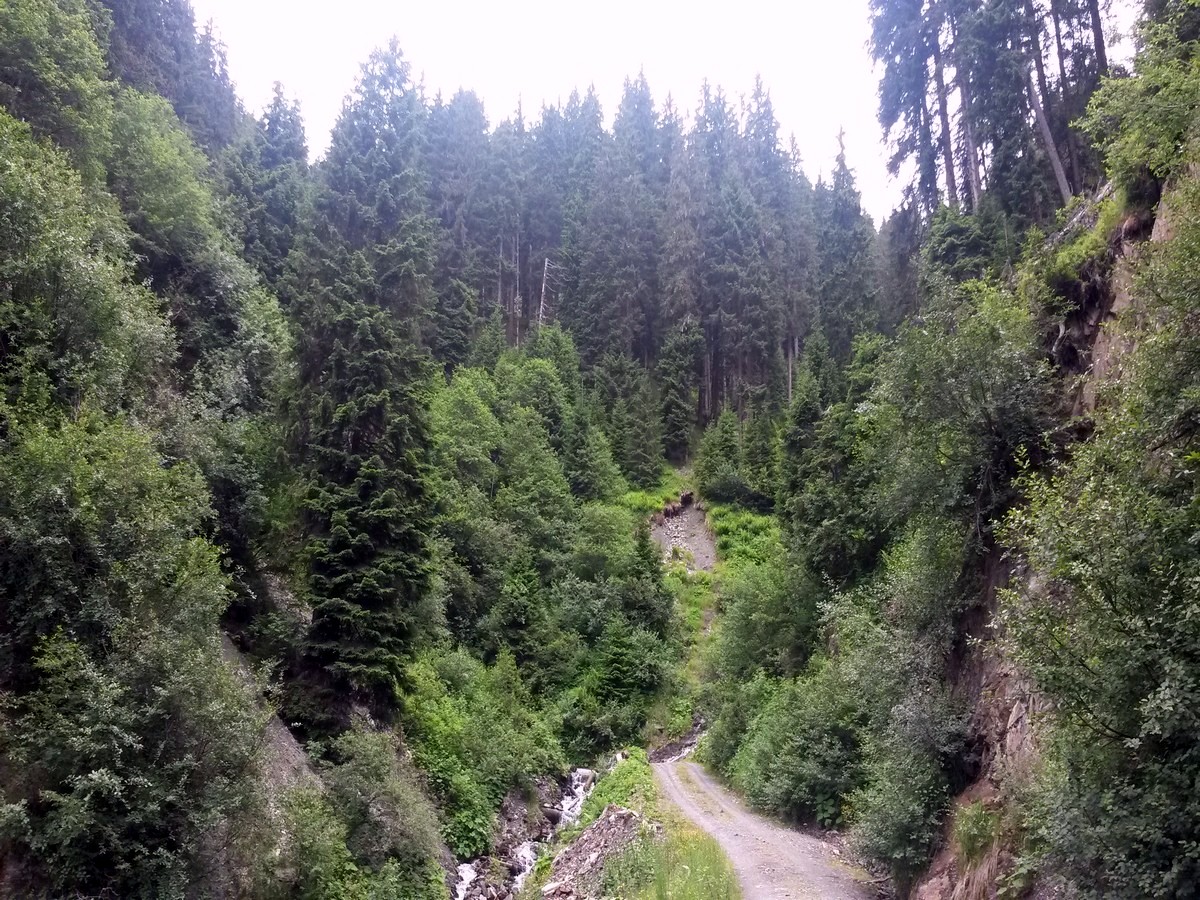
After a turn in the trail and a bit more climbing, you will hit a forest road. Follow the forest road for 33ft to 66ft and then cross over to the other side and pick up trail no. 1a again and follow it uphill. You are making your way up in a birch tree forest with low vegetation.
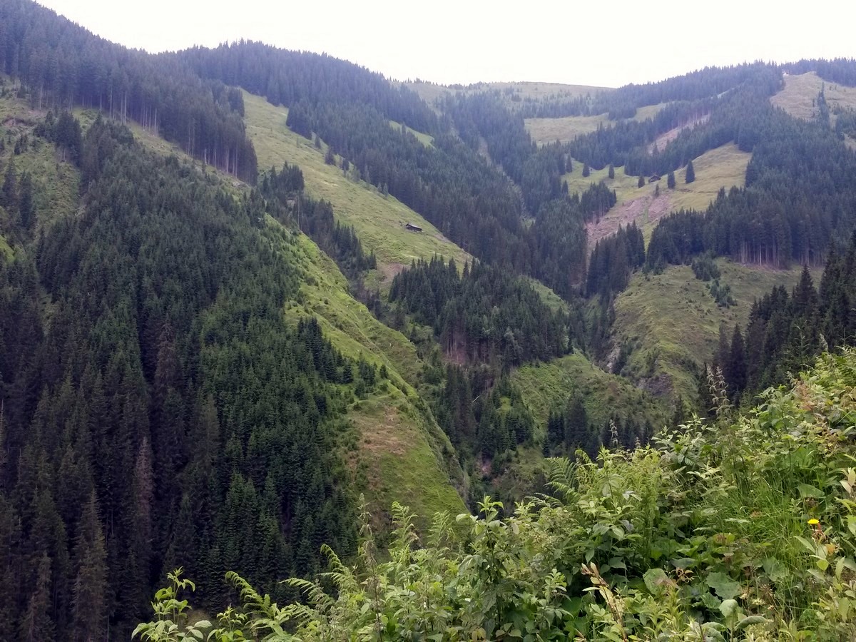
Continue your climb up, and after a while the trail hits the forest road again. From here you turn onto the forest road and keep on following it uphill. Trail no. 1a is also signed out on this forest road. See the surroundings slowly changing from forest, to bushes, and in the end, green alpine meadows. You are walking along the side of the Schmittenhöhekogel (5830ft).
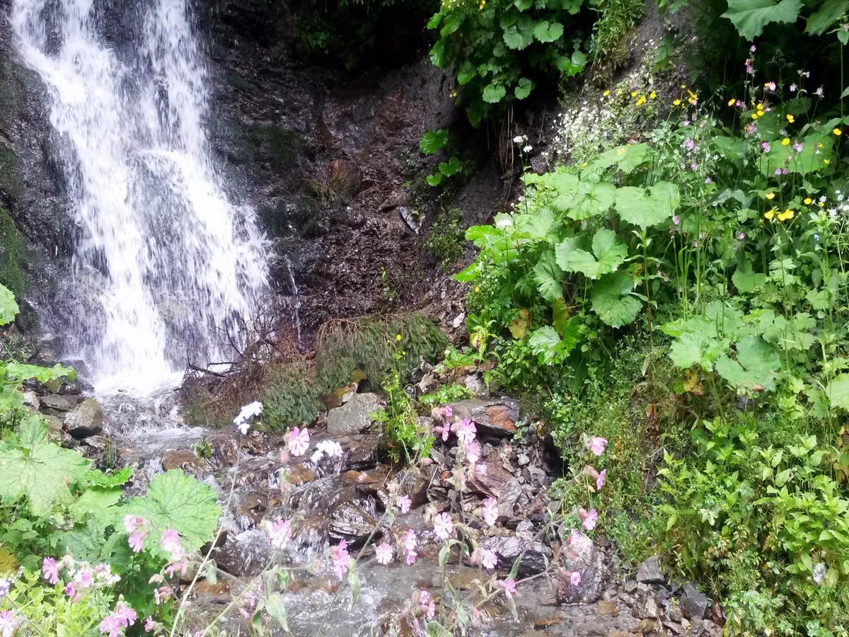
Keep on going, after which you will pass a stream with a small cascading waterfall. Freshen yourself up, and hike on for the last part of the tour. The forest road gets less and less steep and slowly turns westward. You will find yourself walking parallel to the Kettingkopf (6119ft) and the Kesselscharte (6050ft).
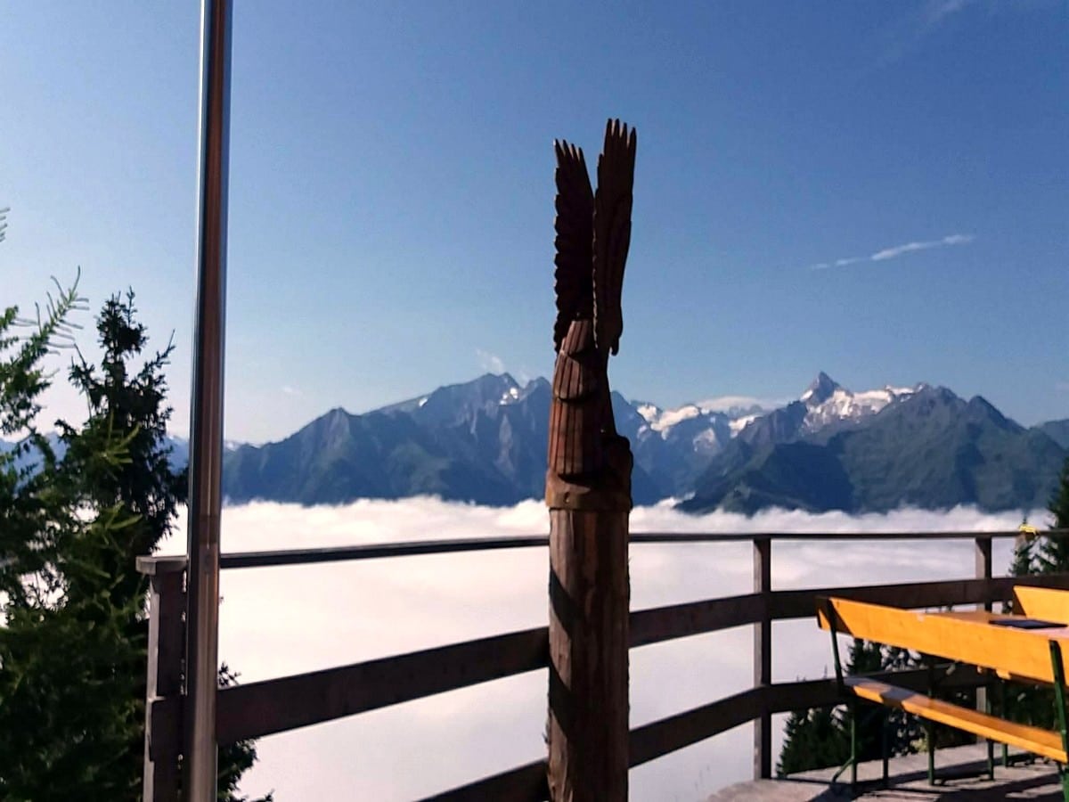
The forest road now starts to descend a bit, right before you reach the Pinzgauer mountain hut. Before you head in, have a look at the info table and get more familiar with the mountains surrounding you. Then find yourself a nice place on the terrace and order a good plate of food and a refreshing drink!
Once you are rested and good to go again, head for the trail which heads south and directly downhill. It is marked as trail number 1b/749. The trail goes into the meadows and you can have a chat with the mountain cows. The trail descends further along in small, serpentine style turns.
After a while, you reach another forest road. Follow this forest road downhill, as it is the extension of trail number 1b. At the first cross section, keep on going straight on trail number 1b. At the second cross section, take the forest road to the left. This will bring you back towards the area of Oberberg.
Hike along for a while until you find trail number 1a again, on your right-hand side. This is the trail which you used to hike uphill at the start of the tour. Take this trail down back to Oberberg and hike back down to the starting point of the tour.
Insider Hints
The Pinzgauer mountain hut also offers accommodation to stay the night. Combine the hike with a hut-sleep experience and watch the sun setting over the Kitzsteinhorn.
If you're going to dine at the Pinzgauer mountain hut, you must have the "Kasepressknödel", or pressed cheese dumplings. This is a real local delicacy! You can try them either in a hearty broth or with a fresh salad. Bon appetite!
Due to the relatively easy and wide tracks, this hike is ideal to do with youngsters (10+ years), but also to take your dog along. He can wander around on the forest road freely, but do not let him disturb the wildlife. Be careful once you get in the area of the Pinzgauer mountain hut, some cows are not big fans of dogs.
Click the link to find out more about hiking the Austrian Alps.
Similar hikes to the Pinzgau Hut Loop Hike hike
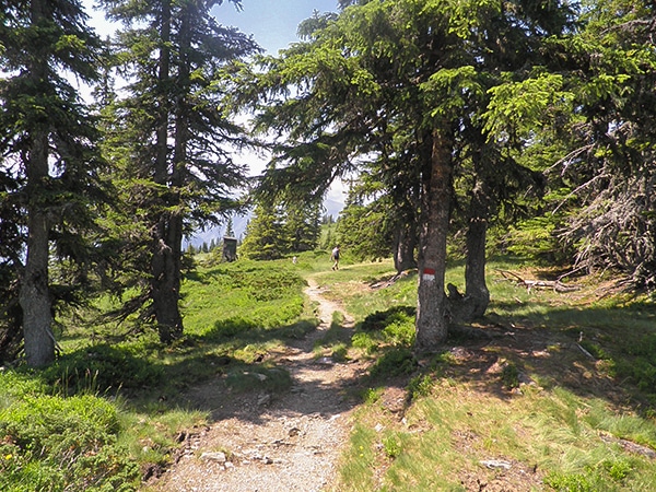
Schmittenhohe - Mauerkogel Hike
The Schmittenhohe - Mauerkogel hike is perfect if you are a big fan of great views, reaching a mountain peak,…
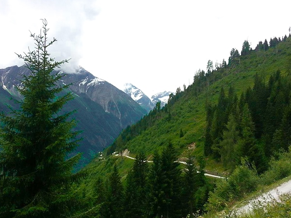
Glocknerblick via Jetzbachsteig Hike
The Glocknerblick via Jetzbachsteig hike is steep, challenging, and beautiful, and a great day of walking if you’re in Zell…
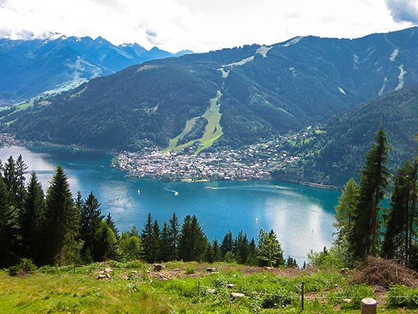
Schwalbenwand & Schönwieskopf Hike
The Schwalbenwand & Schönwieskopf hike is a classic Austrian hike! This fantastic trail has you hiking up two peaks, Schwalbenwand…


TutiDulce 5 years ago
the area is worth seeing with great surroundings and there are some cows you can see through the hike
Jakob F. 5 years ago
A very nice trail with stunning scenery and an ideal location for very nice walks
Cloudhigh 5 years ago
Worth the walk to get to it, great Traditional food and stunning views
Kamil Blajak 5 years ago
Very nice view and good food
Francesco D. 5 years ago
Great atmosphere and a beautiful place
Andrea R 5 years ago
We really enjoyed hiking in Pinzgau and there was also a lot to experience and discover
Jamie Parker 5 years ago
Awe-inspiring scenery! Kaprun and Kitzteinhorn looks spectacular from the summit!
Axel Ross 5 years ago
This trail exceed my expectation! The sea of clouds were breathtaking! The views all around were amazing.
Yuyu Kishimoto 5 years ago
This trail offered so many magnificent views throughout the entire hike. Loved it!
Jhamie A. 6 years ago
Another beautiful hike! It's a nice moderate hike, and it's not as hard as I expected. I enjoyed the views a lot. The visibility was not that great, but I'm glad I made it.