


Imbachhorn Hike
View PhotosImbachhorn Hike
Difficulty Rating:
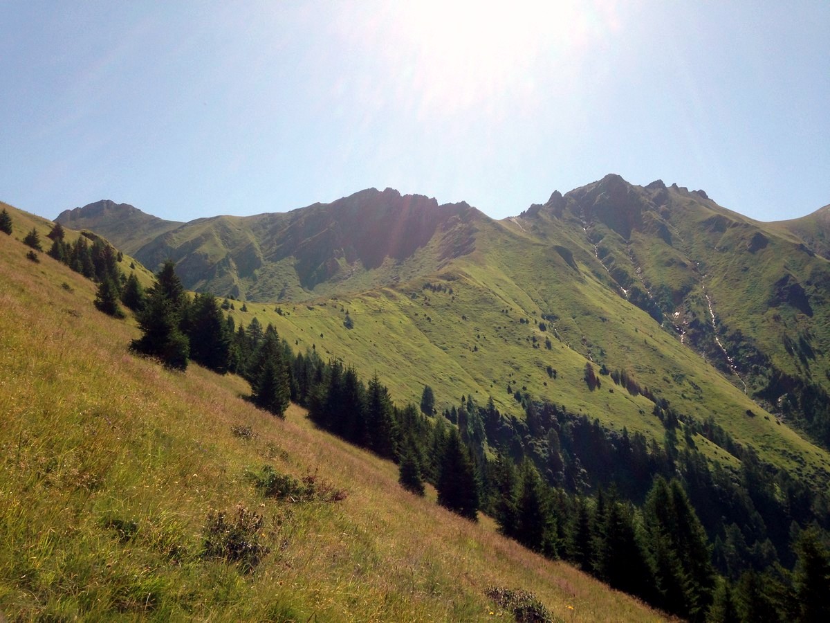
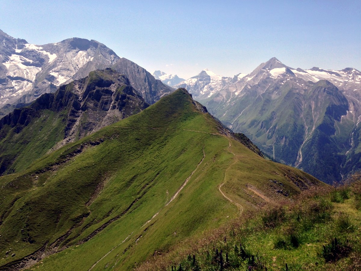
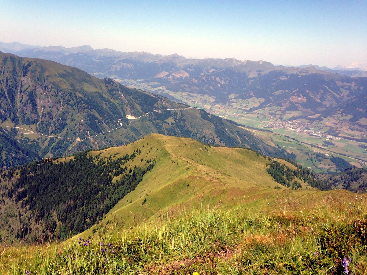
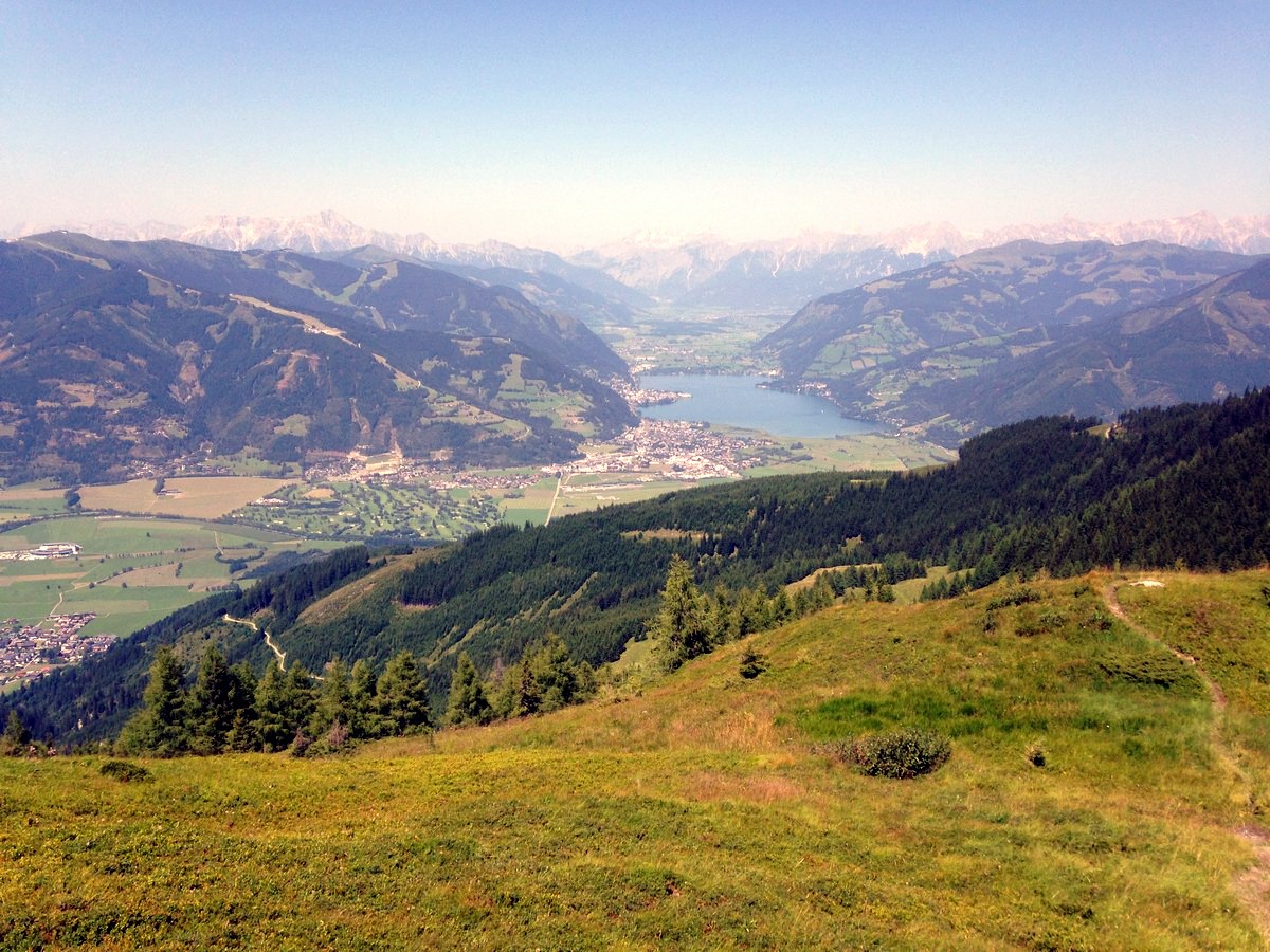
The Imbachhorn hike is one of the best hikes near Zell am See. This hike is a challenging tour of mountain peaks in the high alpine. Hiking up to the Imbachhorn, you will enjoy stunning views over the town of Zell am See, Zeller Lake, and the Glockner group.
Getting there
Travel to Kaprun, pass the town and continue just over 4.3mi to the bottom of the Glacier Cable Cars. The trail starts opposite the parking area of the Gletscherjet 1 lift. From the end-point in the village of Fusch, you can take the bus back to Zell am See and from there change over to the 660 bus towards Kaprun and the Gletsjer lifts.
About
| When to do | May to October |
| Toilets | Alpin Center and mountain huts |
| Pets allowed | Yes |
| Family friendly | No |
| Route Signage | Average |
| Crowd Levels | Low |
| Route Type | One Way |
Imbachhorn Hike
Elevation Graph
Weather
Route Description for Imbachhorn Hike
We like to leave our car in Zell am See and get to the start on the 660 bus, this allows only one bus ride at the end of the day!
Start this wonderful hike at the parking area at the bottom of the Gletscherjet 1 ski lift. The trail entrance lies opposite the parking area, on the other side of the main road. It immediately starts with a steep ascent through pine and birch woods, climbing up the mountain via switchbacks.
You will pass the Harleiten alm, a mountain hut. This hut is not managed and only on occasion people are there. The trail continues through alpine meadows, over the Hartleiten and the Brandlscharte (7779ft).
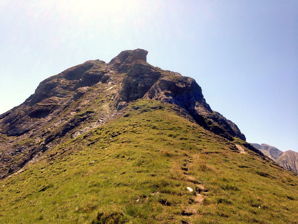
When you come to a cross roads there is the choice to go right towards Rettenzink, or left towards the peak of the Imbachhorn mountain. Why not do them both? The views are worth it.
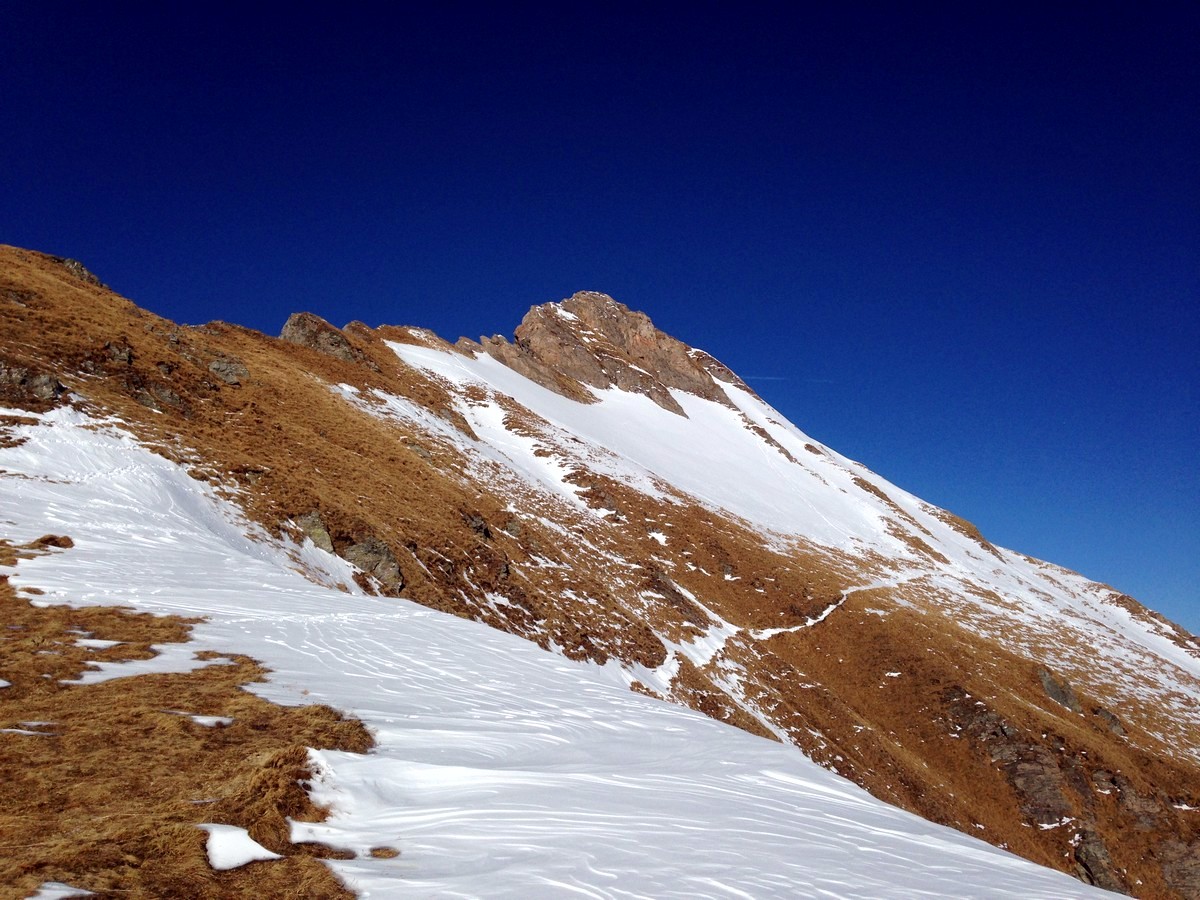
Start by hiking up the trail on the left and after a 328ft ascent you will reach your goal. After enjoying the views from the peak, take the same route down, back to the crossing.
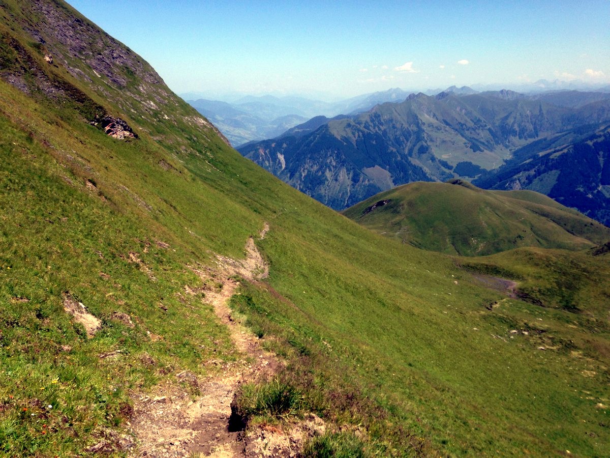
Now take the right trail, heading towards Rettenzink, and start the descent of the tour. The trail first follows the slope alongside the Rettenzink (8235ft). After that, switchbacks will bring you down towards Gleiwitzer Hutte, a fine mountain hut at 7133ft. The hut is a good place to have a break from all the hiking. Enjoy some traditional Austrian food and fill up your energy levels.
After the break, choose trail Number 725 and continue your adventure. There are lots of switchbacks and turns, will bring you lower and lower into the valley. Passing the Hirzbach stream and the Hirzbach alm (another un-managed mountain hut) back into the forest. After about 0.6mi you arrive in the village center of the mountain town of Fusch an der Grossglockner.
Here you can take the bus back to Zell am See and Kaprun and enjoy the memories you have made on a wonderful hike today.
Insider Hints
You are at high altitude, so UV can be really strong. Use a good sun blocker, ideally SPF 50.
If you are staying in an accommodation in Kaprun, ask if they have the Zell am See-Kaprun Summer card. With that the normal bus from Zell am see / Kaprun to the starting point is for free!
Turn this hike into a 2-day tour by staying at the Gleiwitzer hut overnight. This is a magical place to catch sunset or sunrise!
The town of Fusch an der Grossglocknerstrasse is also the entrance to the Grossglockner high alpine road. This road is a must visit if you are in Austria.
Click the link to find out more about hiking the Austrian Alps.
Similar hikes to the Imbachhorn Hike hike
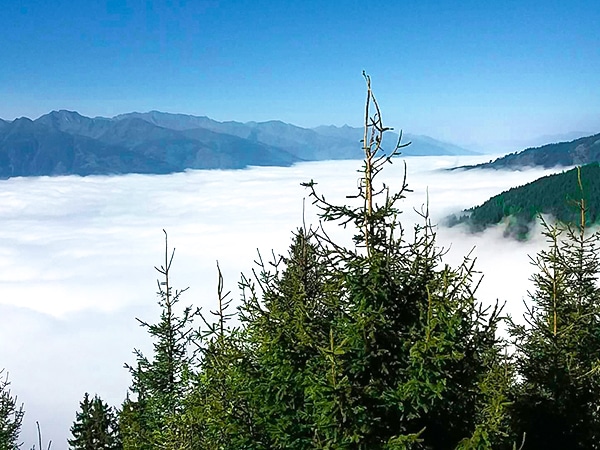
Pinzgau Hut Loop Hike
The Pinzgau Hut Loop hike is a wonderful hike: not too easy yet also not too difficult. Hike up the…
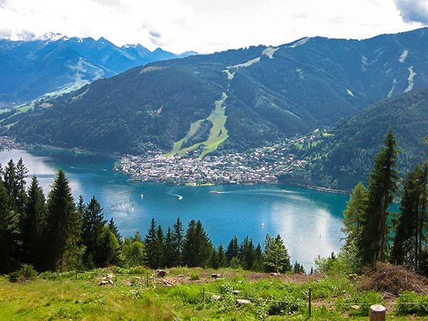
Schwalbenwand & Schönwieskopf Hike
The Schwalbenwand & Schönwieskopf hike is a classic Austrian hike! This fantastic trail has you hiking up two peaks, Schwalbenwand…
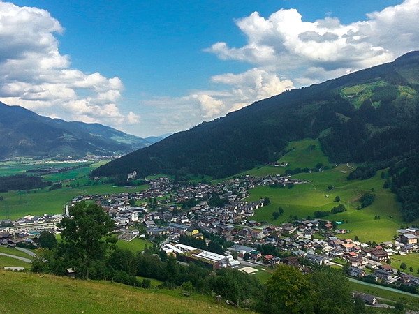
Maiskogel Forest Route Hike
The Maiskogel Forest Route hike takes you up the local mountain of Kaprun. This is a lovely hiking adventure through…


Tom Zugberg 5 years ago
A very nice place and a challenging hike. Highly recommended
Edmund D. 5 years ago
What an amazing hike! Lots of beautiful vistas, meadows and forest to see. The scenery from the top was unbelivable!
Jakob F. 5 years ago
Went last year for hiking in Imbachhorn, very beautiful with nice weather. I highly recommend this place to visit.
Kamil Blajak 5 years ago
Fantastic views and a good choice of walks
Alexis Schweitzer 5 years ago
We just had our third holiday in Zell Am See. It's a beautiful place with fabulous walks.
Andrea R 5 years ago
it was a great fun activity for all of us and the views and nature in the forest were wonderful
Yuyu Kishimoto 5 years ago
Best choice to get away from crowds. This was my favorite hike.
Halima Sud 6 years ago
Iconic hike in the park. The crown jewel is the lake.
Aria Z. 6 years ago
The view from the top is beyond what I have imagined. It was one of my favourites in the park!
Jhamie A. 6 years ago
It's really difficult, especially if you're not fond of exercising. All in all, I recommend this trail, it did not disappoint.