


Glocknerblick via Jetzbachsteig Hike
View PhotosGlocknerblick via Jetzbachsteig Hike
Difficulty Rating:
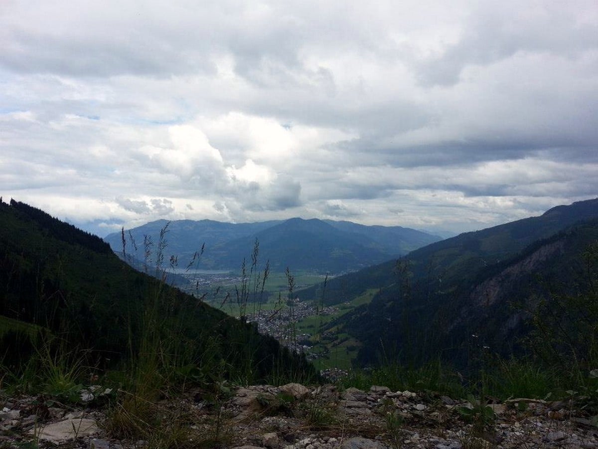
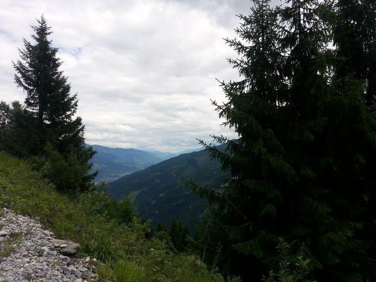
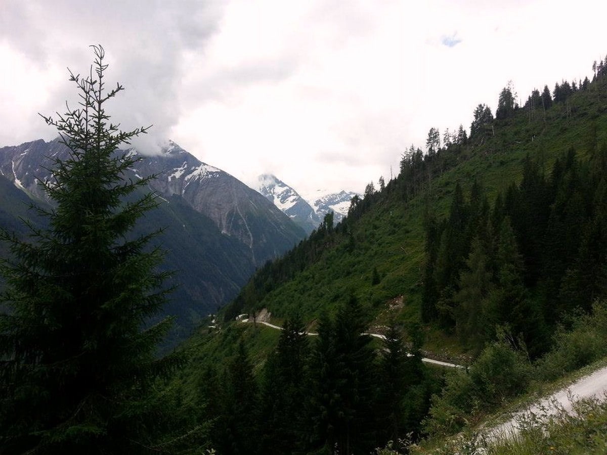
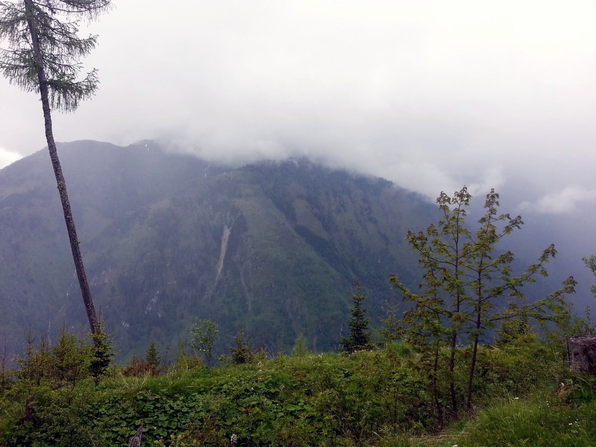
The Glocknerblick via Jetzbachsteig hike is steep, challenging, and beautiful, and a great day of walking if you’re in Zell am See. You will hike up the side of the family mountain, the ‘Maiskogel,’ while enjoying the incredible view of the Kitzsteinhorn glacier, the Imbachhorn, and the reservoirs in the distance. When you reach the top, the view on the Groβglockner, Austria’s highest mountain, is waiting for you!
Getting there
When travelling by car, drive towards Kaprun, past the town and into the valley towards the Kitzsteinhorn glacier. Park the car at the parking spaces at the far end of "Klammsee" (small reservoir lake, parking free of charge) and walk further into the valley on the trail parallel to the main road. When you reach the Jetzbach-bridge, you have reached the start of the hike. When travelling by bus to Kaprun, stay on the 660 bus and go past the town. Get off at the bus stop at the Jetzbach bridge.
About
| When to do | May to October |
| Toilets | Schneckenreith farm, mountain hut Glocknerblick |
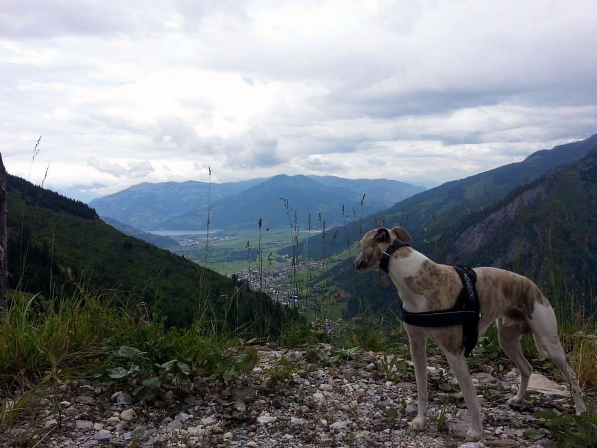
| Pets allowed | Yes |
| Family friendly | No |
| Route Signage | Average |
| Crowd Levels | Low |
| Route Type | Out and back |
Glocknerblick via Jetzbachsteig Hike
Elevation Graph
Weather
Route Description for Glocknerblick via Jetzbachsteig Hike
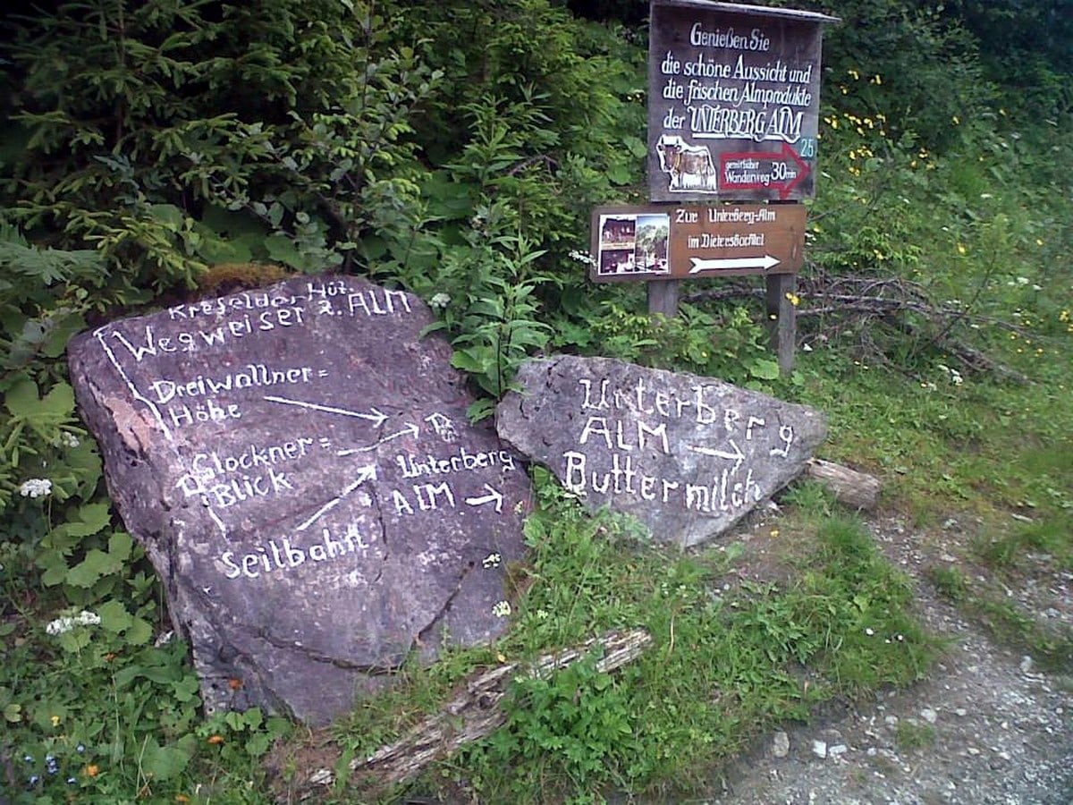
The tour starts at the bottom of the mountain at the Jetzbach bridge. Cross the bridge and follow the road up towards the mountain farm called “Schneckenreith“. This place is also a great opportunity to enjoy local products; homemade cheese, butter, meat, fresh milk, and delicious cakes. This is a tasty insiders tip to start your day of hiking! 😉
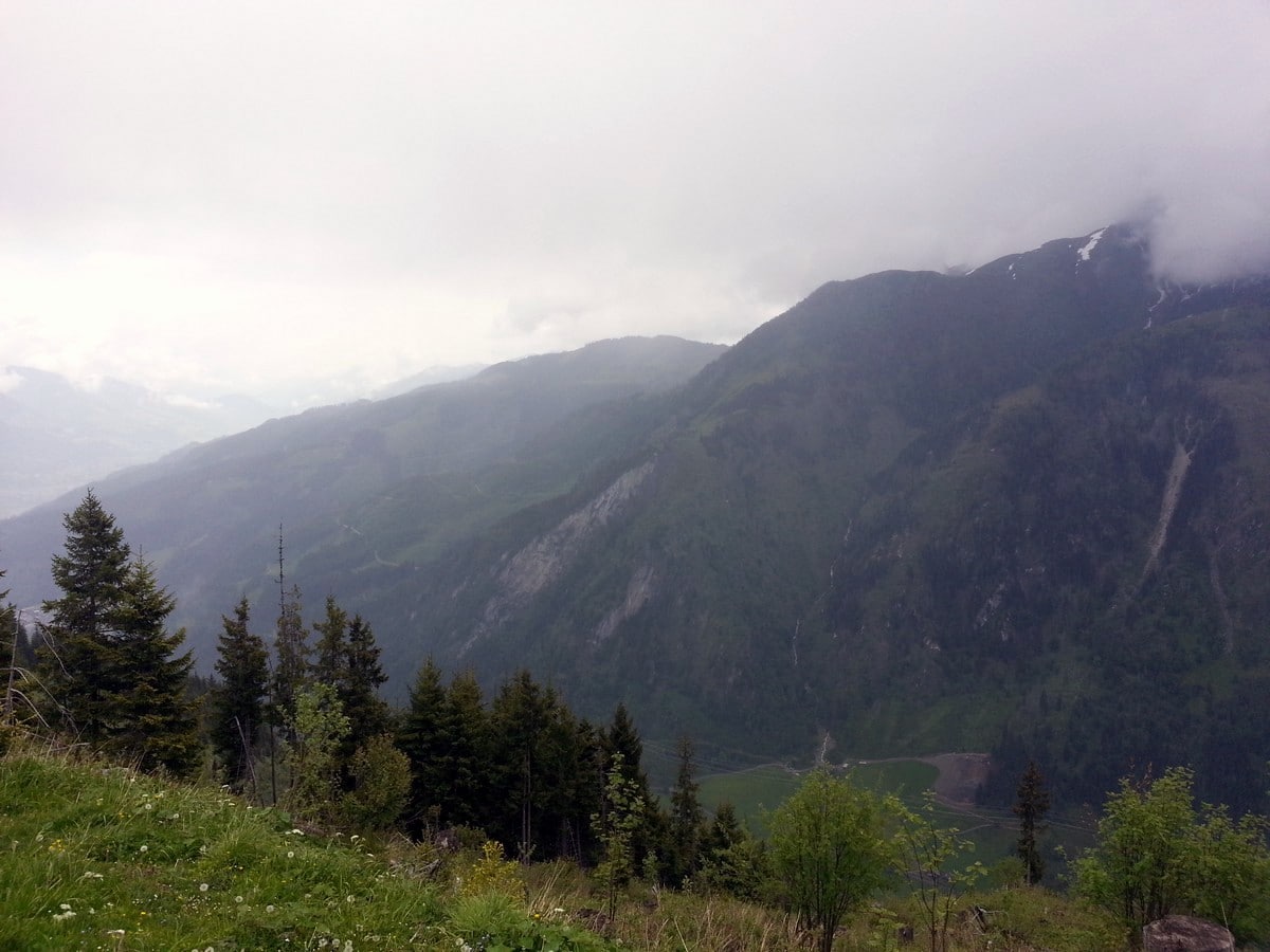
Follow the signing for “Jetzbachsteig” which is trail Number 29. The trail follows the gravel track at the start and goes steep up straight away. The trail curls up the mountain in steep serpentine turns, giving an ever-increasing view on the beautiful surroundings. Try to peek down to the end of the valley to spot the walls of the big reservoirs of Kaprun. They are used for electricity production and produce about 14% of all electricity in Austria.
After crossing the gravel track several times, the trail then continues into the forest, although after a while vegetation decreases. The higher you get the more rocks will be present on the trail. Be aware that when it has been raining, it can be quite slippery. The trail continues going up in a westward direction.
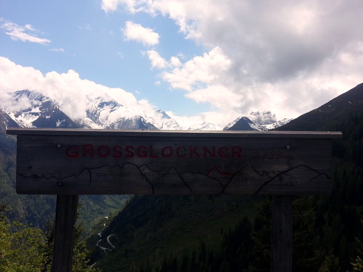
With the last quarter of the hike to go, you will hit the gravel track once more. Cross it, and continue on the trail. Another four serpentine turns will bring you up to mountain hut Glocknerblick. The name means “view on the Groβglockner”. Groβglockner is the highest mountain in Austria at 12461ft. On clear days, there is a brilliant view of the Groβglockner itself, and the Glockner mountain group surrounding it.
By now, you are probably hungry, and this is the perfect place for a rest before returning to Kaprun. Ask for a plate with a variety of homemade “Knödel”. These dumplings are spiced with mountain cheese, spinach, fresh herbs, and bacon and will give you the energy needed after such a steep climb.
To return, simply follow the same trail down to the starting point of the hike. However, if you are tired of hiking, there is the option to descend using the trail opposite the mountain hut towards the “Maiskogel alm” (also called “Heli’s Hut”) and take the hiking taxi down. It will bring you back to the bottom of the Maiskogel mountain at the edge of the center of Kaprun. The hike from the Glocknerblick hut to the Maiskogel alm will take about 15 minutes.
Insider Hints
The mountain hut Glocknerblick is the oldest mountain hut on the Maiskogel and is managed by Tina. Her homemade food (especially the dumplings and fresh cheesecake style strudel with vanilla sauce) are a must try!
If your accommodation is in Kaprun, ask if they have the Zell am See - Kaprun Summer card. With this card the normal bus and hiking taxi can be used free of charge!
Planning on a non-hiking day? Pay a visit to the reservoirs you have seen down the valley during this hike. A very interesting trip with great views and natural elements. Combine this with a coffee stop at the Schneckenreith farm, and you have the perfect, non-hiking, day out.
If you want to have a different route down, you can take the route down from the Maiskogel Forest Route.
Similar hikes to the Glocknerblick via Jetzbachsteig Hike hike
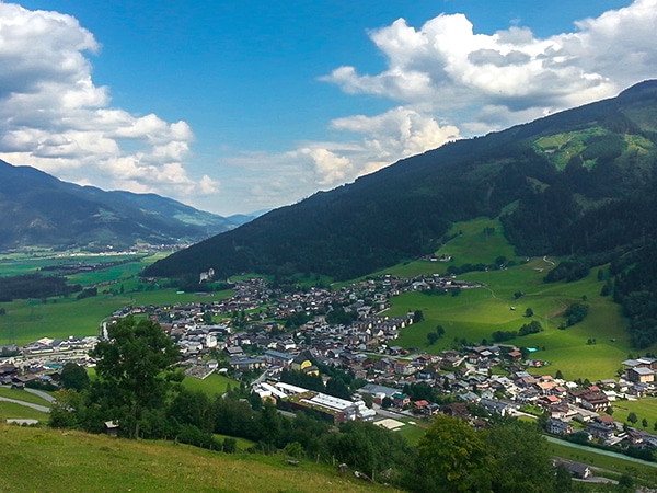
Maiskogel Forest Route Hike
The Maiskogel Forest Route hike takes you up the local mountain of Kaprun. This is a lovely hiking adventure through…
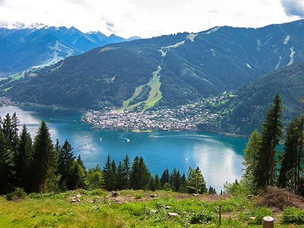
Schwalbenwand & Schönwieskopf Hike
The Schwalbenwand & Schönwieskopf hike is a classic Austrian hike! This fantastic trail has you hiking up two peaks, Schwalbenwand…
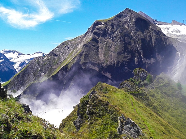
Glacier Lake & Geisstein Hike
The Glacier Lake and Geiβstein hike is a wonderful hike near Zell am See. This is a varied hike covering…


TutiDulce 5 years ago
the highest mountain in Austria and the views in the top are priceless
Audrey Osullivan 5 years ago
a very pleasant trail to walk around. there are plenty of eating varieties to choose from
Gilberto Fattore 5 years ago
We had our lunch then we start our hike and it's definitely recommended to those who love nature and beauty
Alexis Schweitzer 5 years ago
Great fun and views and absolutely must-visit the place to enjoy nature at its fullest
Andrea R 5 years ago
Amazing location and the views were absolutely incredible!
Yuyu Kishimoto 5 years ago
Glad I did this just to see the view of highest mountain.
John Anchor 6 years ago
Splendid hike featuring numerous scenery. My favorite was the view of Imbachhorn. I was so intrigued, I decided I will hike there next time.
Clyde W. 6 years ago
It's definitely a nature lover's paradise. The view at the top is priceless. Highly recommended.
Jhamie A. 6 years ago
This is one of the very few hikes where you'll find more food than usual.
Wakata Shirai 6 years ago
This is a must-do. The views are spectacular and worth the climb. I highly recommend it.