


Glacier Lake & Geisstein Hike
View PhotosGlacier Lake & Geisstein Hike
Difficulty Rating:
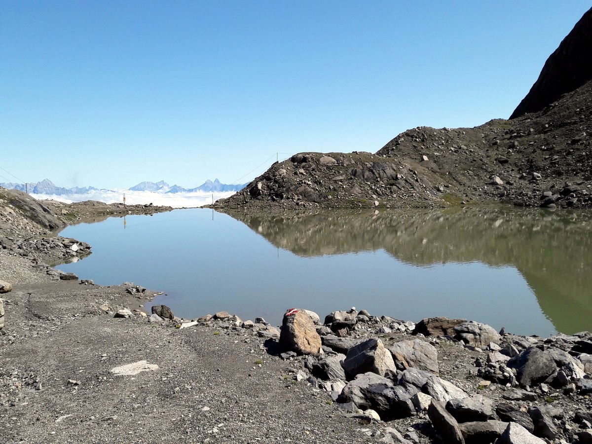
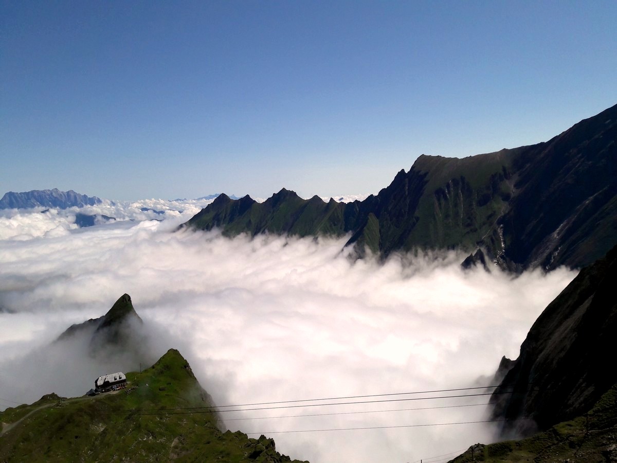
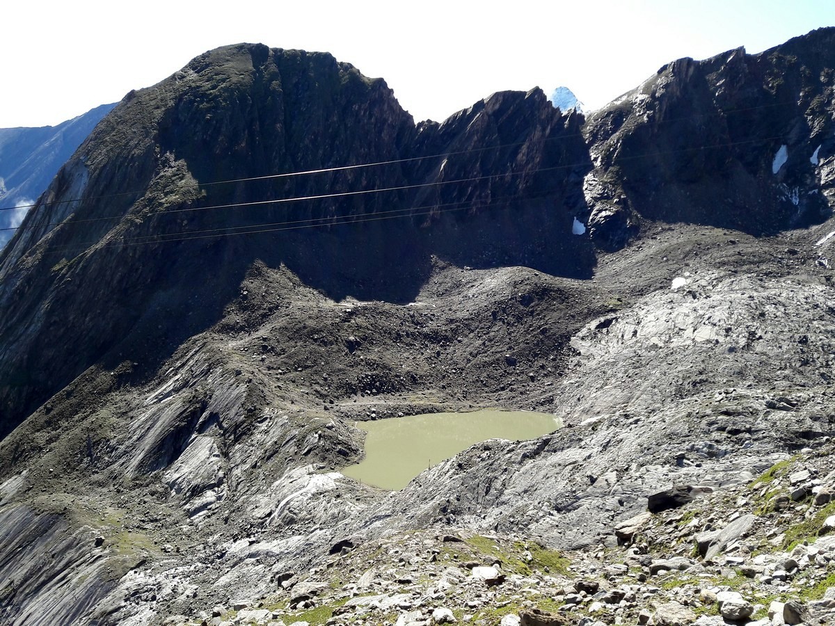
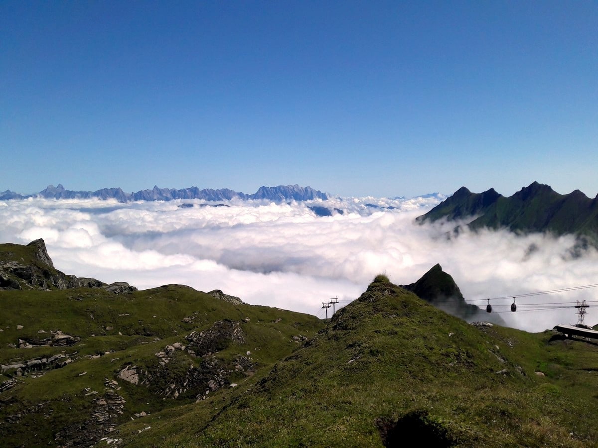
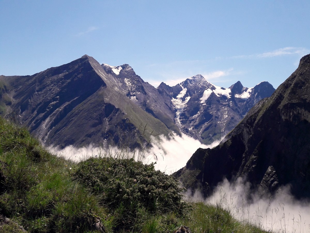
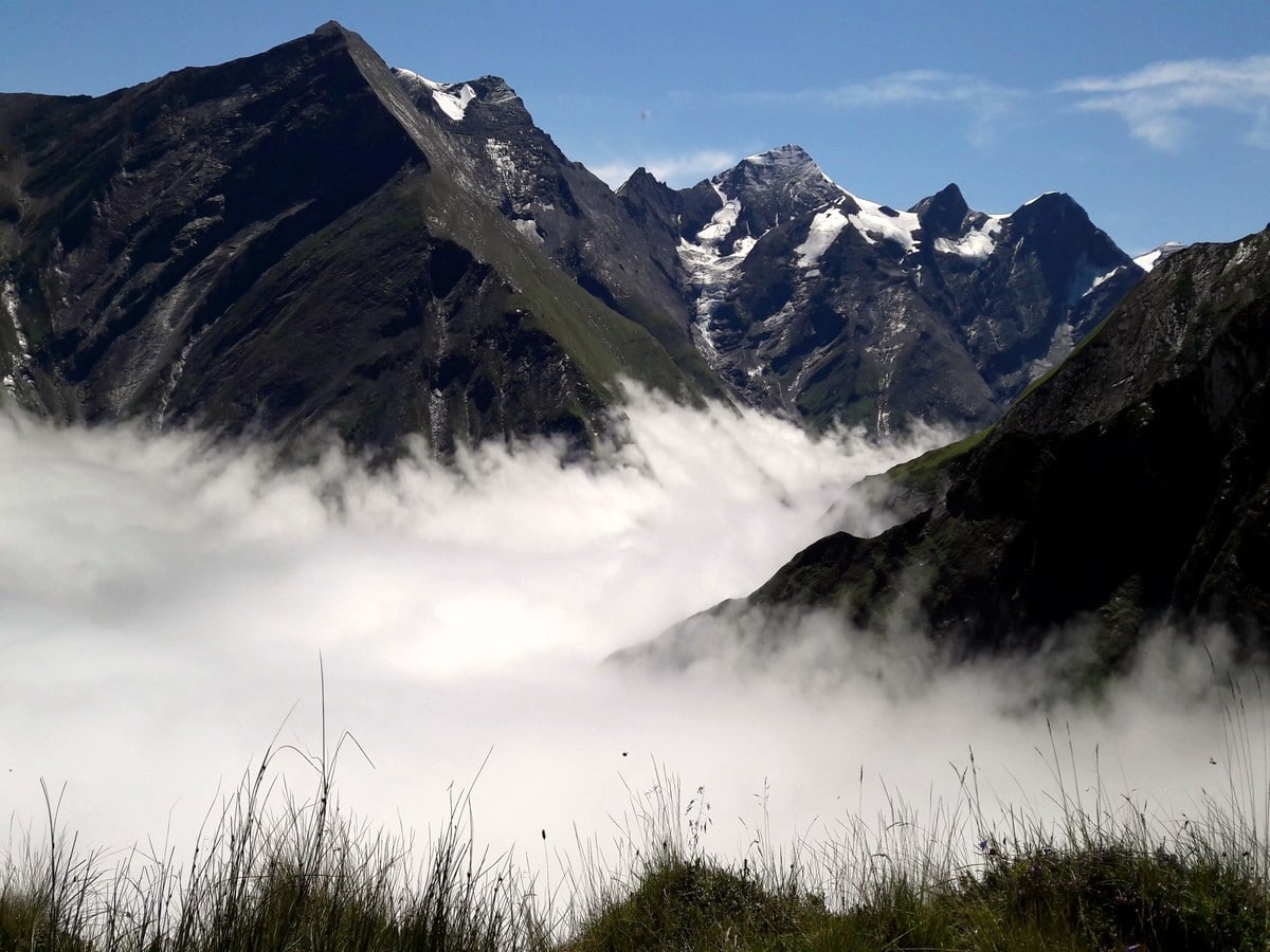
The Glacier Lake and Geiβstein hike is a wonderful hike near Zell am See. This is a varied hike covering two different areas found in the high alpine above Kaprun. First you will visit a stunning glacial lake, and after hiking through the Kitzsteinhorn ski area you can take a few steps in the summer snow. Then, eat at a traditional mountain hut and climb the Geiβstein peak for a stunning 360° degree free view of the area!
Getting there
Travel to Kaprun, pass the town and continue just over 23ft to the bottom of the Glacier Cable Cars. Take the Gletscherjet 1 and then 2 up to the Alpin Center. If you travel by bus from Mittersill or Zell am See, stay on the 660 bus which brings you to Kaprun. It will pass the town and bring you to the bottom of the cable car (this is the bus turn around point).
About
| When to do | June to October |
| Toilets | Alpin center, Krefelder mountain hut, and Häuslalm |
| Pets allowed | No |
| Family friendly | No |
| Route Signage | Average |
| Crowd Levels | Moderate |
| Route Type | One Way |
Glacier Lake & Geisstein Hike
Elevation Graph
Weather
Route Description for Glacier Lake & Geisstein Hike
This is a classic Austrian hike, using lifts to make the stunning high alpine accessible. After enjoying the adventurous ride up the two lifts, start your hike from the Alpin Center at 8038ft. When in front of the Alpin Center, follow the hiking sign straight up the ski piste on the left-hand side, heading south.
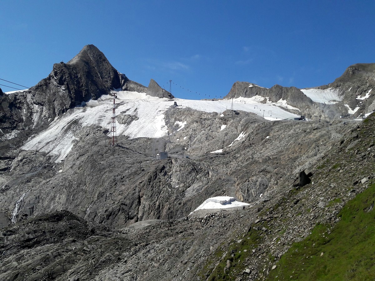
The path goes straight up and turns left at the top of the piste. Continue your hike over cushion plants and rocks, after which you will start crossing moraine. Quickly you will have the full view of the Kitzsteinhorn ski area.
Follow the red-white markers and descend towards Schmiedingersee, a glacial lake. This lake is part of the Schmiedinger glacier. Have a break and enjoy the chilly fresh air, and interesting view.
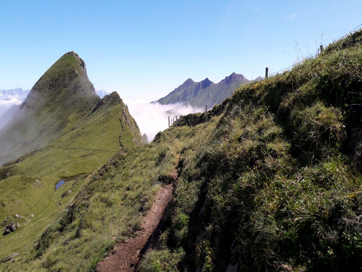
Afterwards, walk back the first part of the track until you hit a cross section. Here you have the opportunity to follow markers towards the right. Do this and you will continue along a ridge, which gives you a great view into the next valley. On the way, stop at the ‘selfie’-photo-point and take a great shot.
Continue heading north, and descend towards the Alpin center, where you started the walk today. There’s a washroom inside if you need a break, otherwise continue on for the second part of the hike.
Head west, following the sign for “Krefelder hütte” and walk down on the ski piste straight ahead. Follow the piste when it turns right and continue along the trail. Follow the markers passing more cushion plants and see if you can spot some marmots! Keep moving, using the signs along the trail, to take you to the Krefelder mountain hut. This hut is managed in summer as well as winter, and offers a terrace with a great view! Enjoy a local sweet dish like “Kaiserschmarrn” (sweet cut-up pancakes with apple sauce) to fill up your energy reserves.
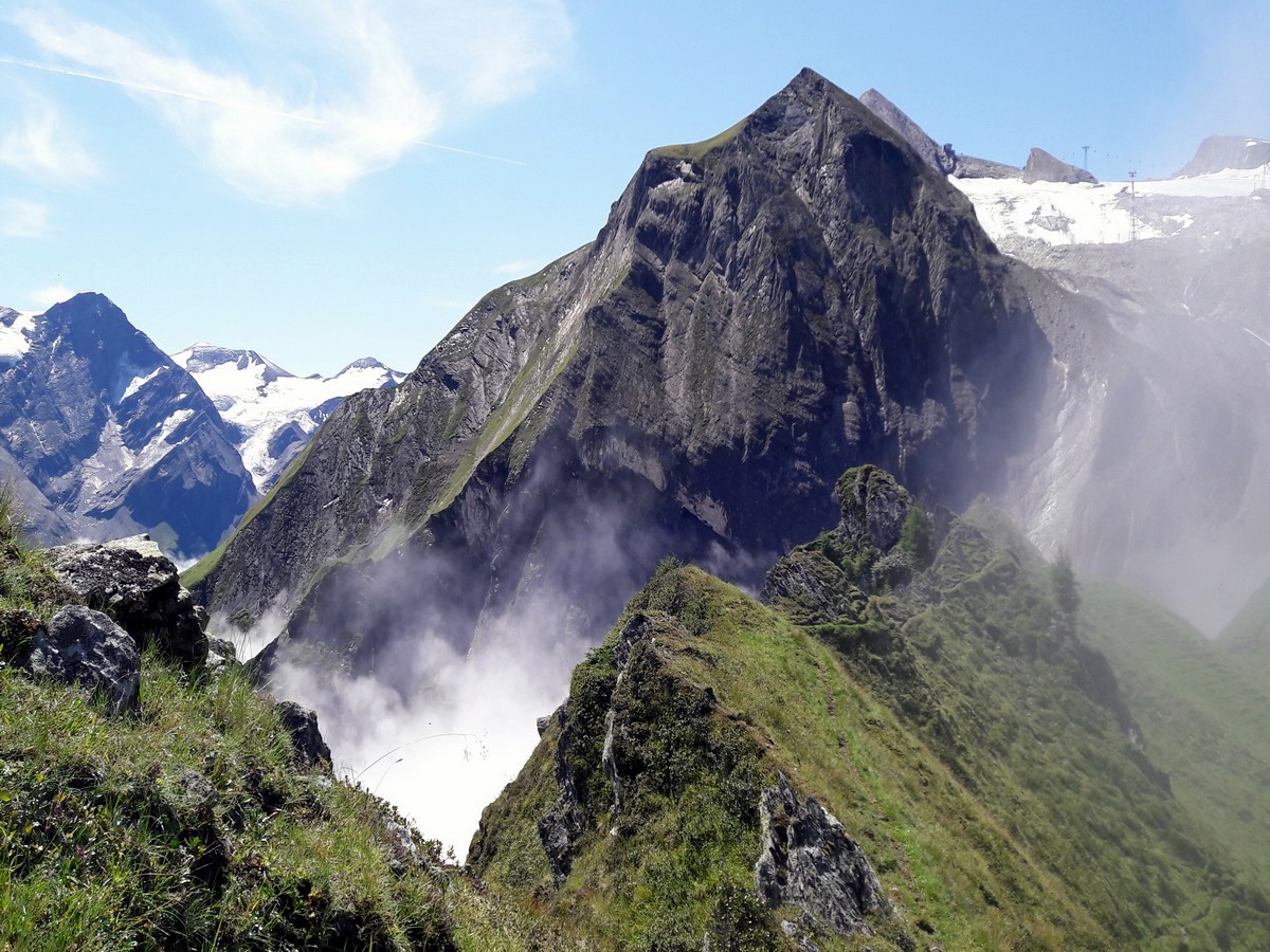
To continue your tour, follow the sign towards ‘Häuslalm’ and turn around the back of the hut to the right. Follow the narrow track between alpine vegetation and rocks smoothed by glacier erosion. You will find yourself on a ridge with a steep drop on the right-hand side. The peak straight ahead of you, is the Geiβstein peak.
The track towards the peak is minimally signed with blue markings, so keep an eye out (or use the GPS). Turn right off the main track, onto a narrow trail in the alpine grass. The first part of the climb is relatively easy, passing several turns. Higher up, the track gets steeper, and follows the ridge more exact. Be careful with the drop on the right-hand side. The last 33ft to 49ft include some climbing maneuvers, so don’t proceed unless you feel comfortable!
If you went up Geiβstein, then descend the way you came and rejoin the main trail, where you go right on the track and continue towards the Häuslalm. The track will go straight ahead, pass alpine vegetation, to then turn left and start descending. After a short while, you will hit a ski slope which you can follow down towards the Häuslalm.
The Häuslalm is situated at the top of Gletscher jet 1 and the bottom of Gletscher jet 2. Take the Gletscher jet 1 down to the bottom of the Kitzsteinhorn mountain and take the 660 bus back to the city center or continue on the bus to Zell am See.
Insider Hints
If you stay in Kaprun, ask if your accommodation offers the Zell am see-Kaprun Summer card. The lift rides and normal bus can then be used for free.
Make this a complete day out, and start your tour with a visit at Gipfelwelt 3000. Here you will find a 3D-cinema, a panorama restaurant, a tunnel through the mountain to the viewing platform on the other side, and a summer snow park. Then go back down with the cable car to the Alpin center and start your hike.
If climbing the Geiβstein is too much of a challenge, leave it out of the hike and just continue on the main track. For an even smaller hike, only walk the loop to the glacier lake. This will take about 1-1.5 hour.
Similar hikes to the Glacier Lake & Geisstein Hike hike
Maiskogel Forest Route Hike
The Maiskogel Forest Route hike takes you up the local mountain of Kaprun. This is a lovely hiking adventure through…
Glocknerblick via Jetzbachsteig Hike
The Glocknerblick via Jetzbachsteig hike is steep, challenging, and beautiful, and a great day of walking if you’re in Zell…
Schwalbenwand & Schönwieskopf Hike
The Schwalbenwand & Schönwieskopf hike is a classic Austrian hike! This fantastic trail has you hiking up two peaks, Schwalbenwand…


Audrey Osullivan 5 years ago
The trail is very well maintained and the trail was short but steep. It’s totally worth the climb!
Andrea R 5 years ago
Very nice trail and the view of the lake is amazing
Tom Zugberg 5 years ago
We had a great day for our hike on the lake
Jamie Parker 5 years ago
Love the hike! The glacier looks magnificent!
Axel Ross 5 years ago
Lake is pretty, quiet and a great stopping point. Nice and peaceful.
Johnson Bonanza 6 years ago
This hike gives classic views of the main attractions. Aside from hiking, there are other activities you can do!
Halima Sud 6 years ago
This trail provided an amazing view of the glacial lake. Will definitely do it again if I had the chance.
Lowell Hans 6 years ago
The glacial lake looks stunning. The view from the peak was just beautiful!
John Anchor 6 years ago
This is a great hike that features some steep drops. They were quite challenging, but they're definitely doable. It would be much easier if you bring hiking poles!
Jhamie A. 6 years ago
Worth every step! We enjoyed the expansive scenery at the top. It's definitely worth doing!