


Alexander-Enzinger Trail
View PhotosAlexander-Enzinger Trail
Difficulty Rating:
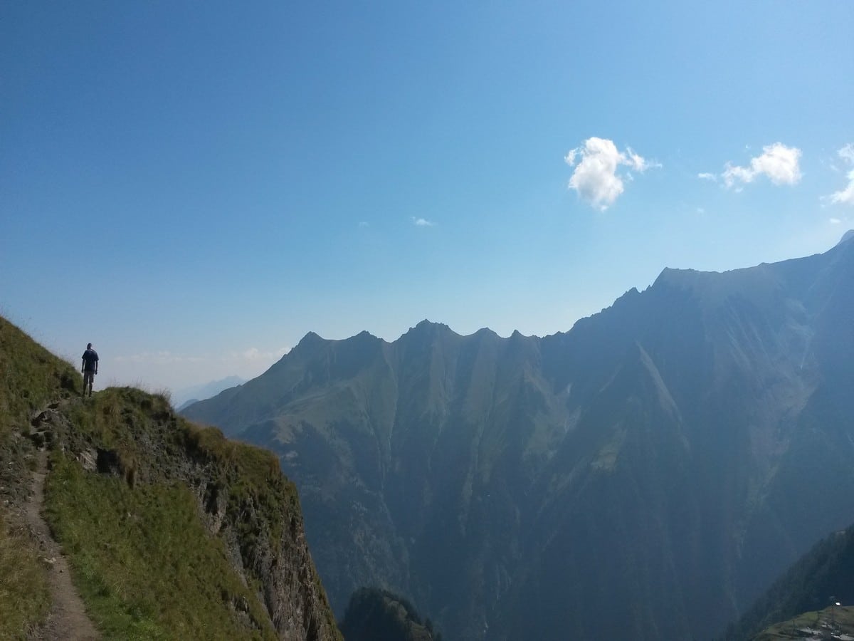
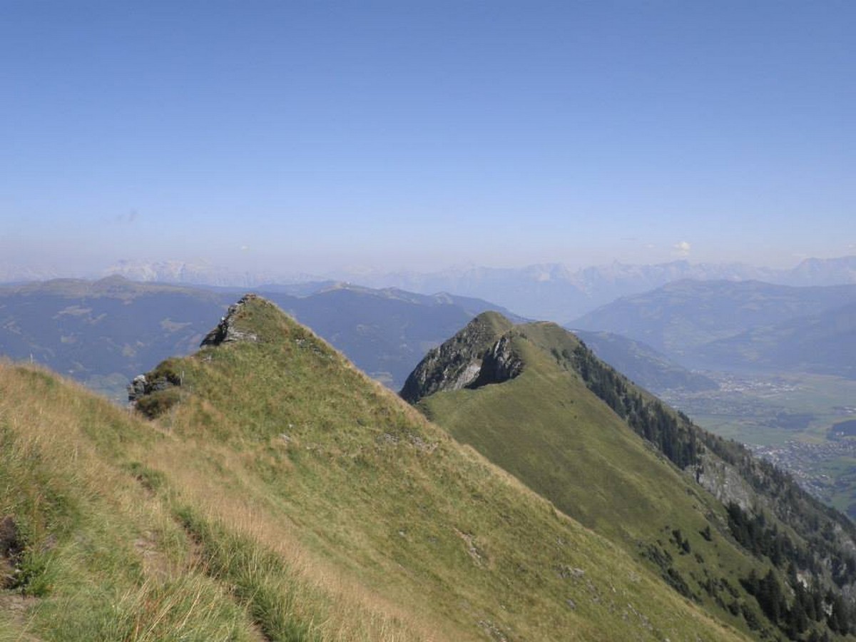
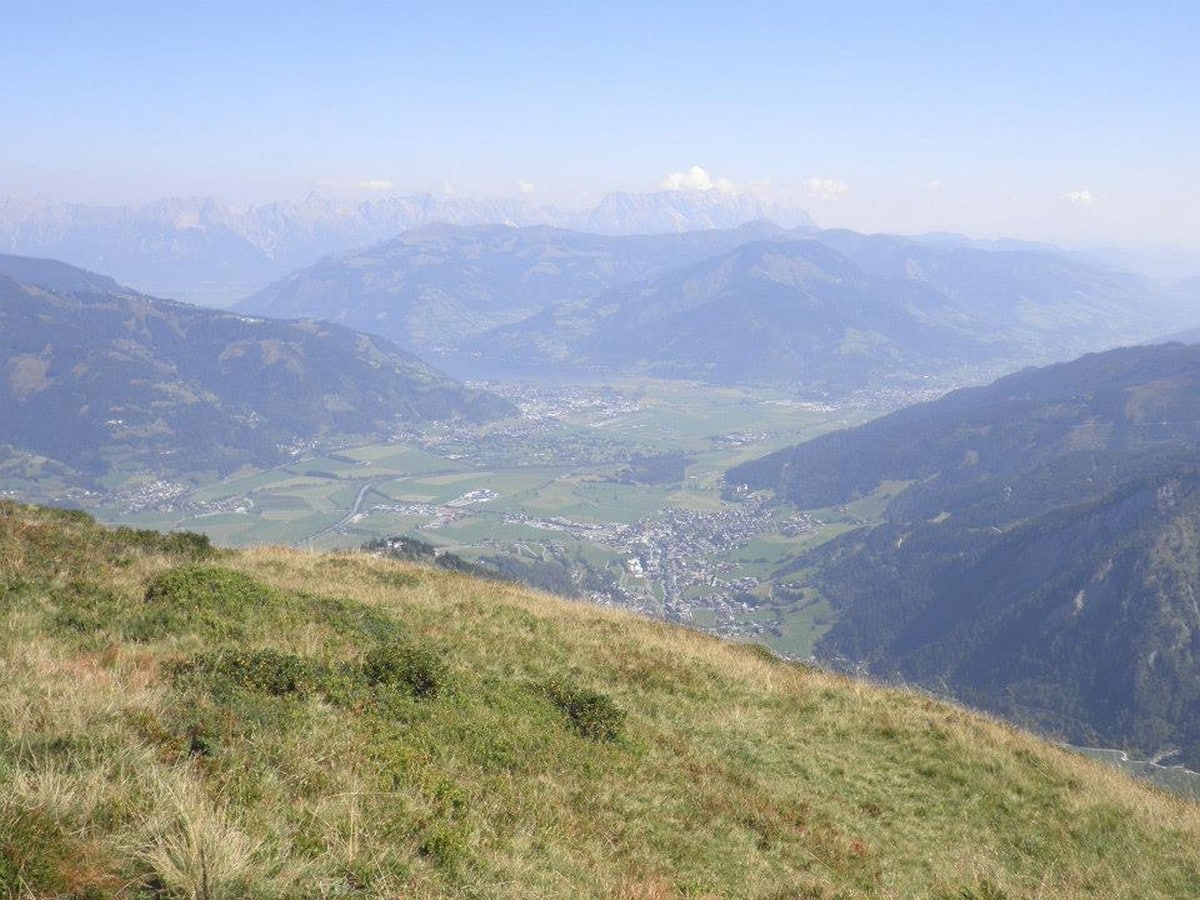
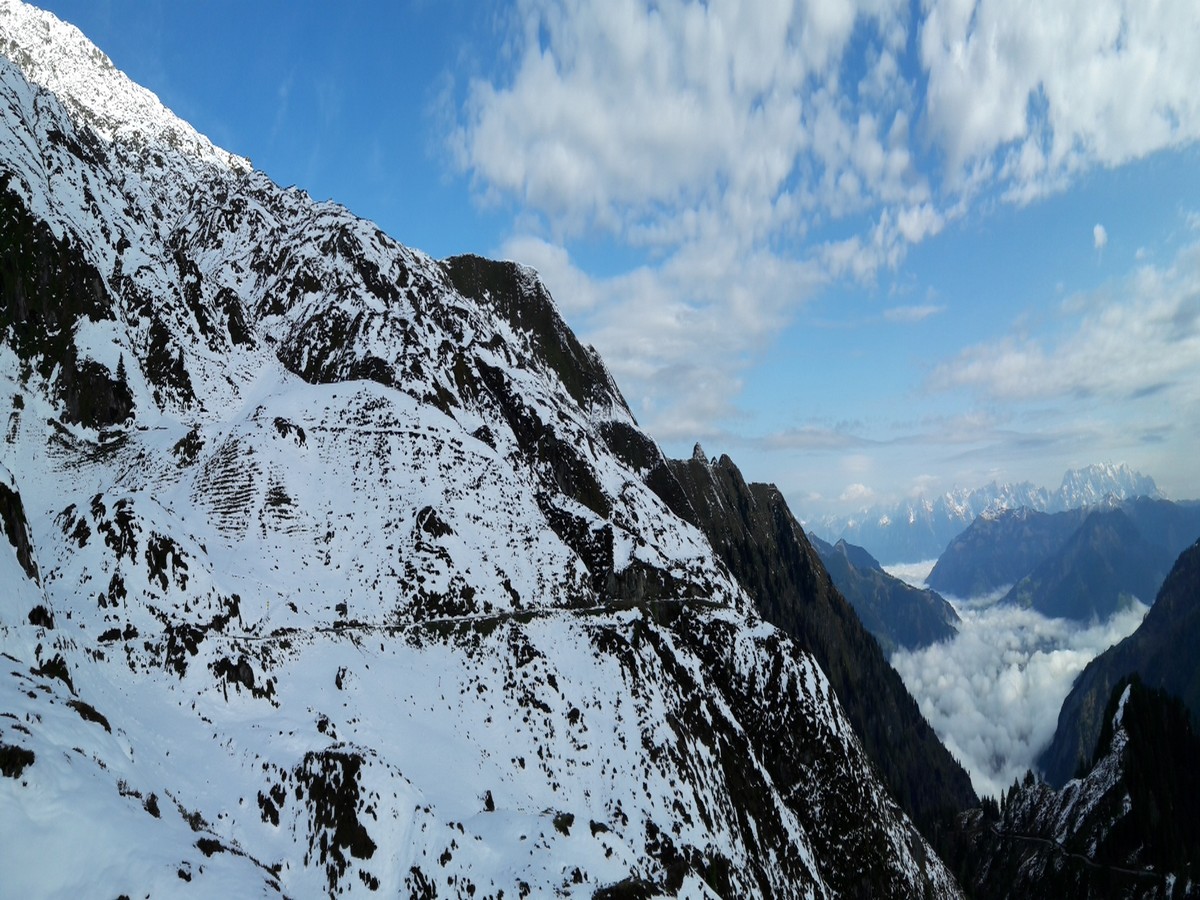
The Alexander - Enzinger hike is a stunning hike along a mountain ridge between Kaprun and the Kitzsteinhorn glacier area. With beautiful views and a high point of 8045ft, this is a challenging yet rewarding hiking trail in the Zell am See-Kaprun region.
Getting there
Travel to Kaprun, pass the town and continue just over 4.3mi to the bottom of the Glacier Cable Cars. Take the Gletscherjet 1 and then 2 up to the Alpin Center. If you travel by bus from Mittersill or Zell am See, stay on the 660 bus which brings you to Kaprun. It will pass the town and bring you to the bottom of the cable car (this is the bus turn around point).
About
| When to do | May to October |
| Toilets | Alpin Center and mountain huts |
| Pets allowed | Yes |
| Family friendly | No |
| Route Signage | Average |
| Crowd Levels | Low |
| Route Type | One Way |
Alexander-Enzinger Trail
Elevation Graph
Weather
Route Description for Alexander-Enzinger Trail
We prefer to take the bus at the start of the hike and leave our car in Kaprun, that way we save waiting for the bus to go back to get our car at the end.
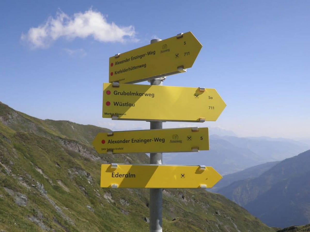
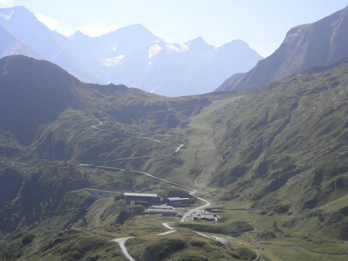
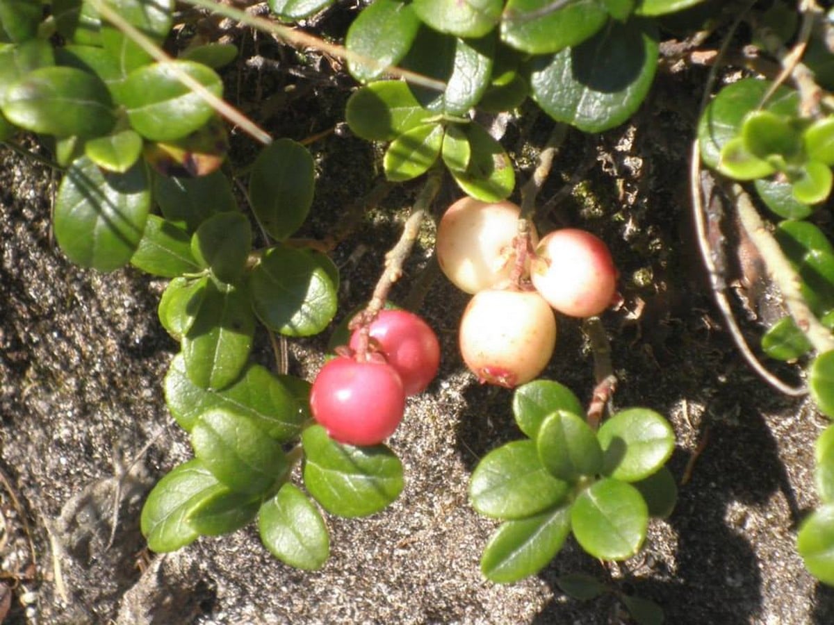
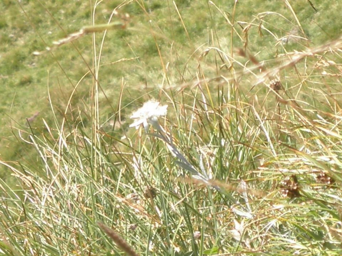
Either way, take the Gletscherjet 1 and 2 cable cars up. From the top Gletscherjet 2, head to the Alpin Center (8038ft) and choose route Number 5, towards the Krefelderhütte in north-east direction. At first you will follow part of a ski piste and stay almost under the cable cars. Here you will find real alpine vegetation and marmots. After a while the path will head north, towards the mountain ridge which closes in the Kitzsteinhorn area on the left-hand side.
From here, a limited amount of ascending has to be done, towards the Lakarschneid (8701ft). Once you hit the ridge, the path stays on top or close to the ridge and you will start the descent.
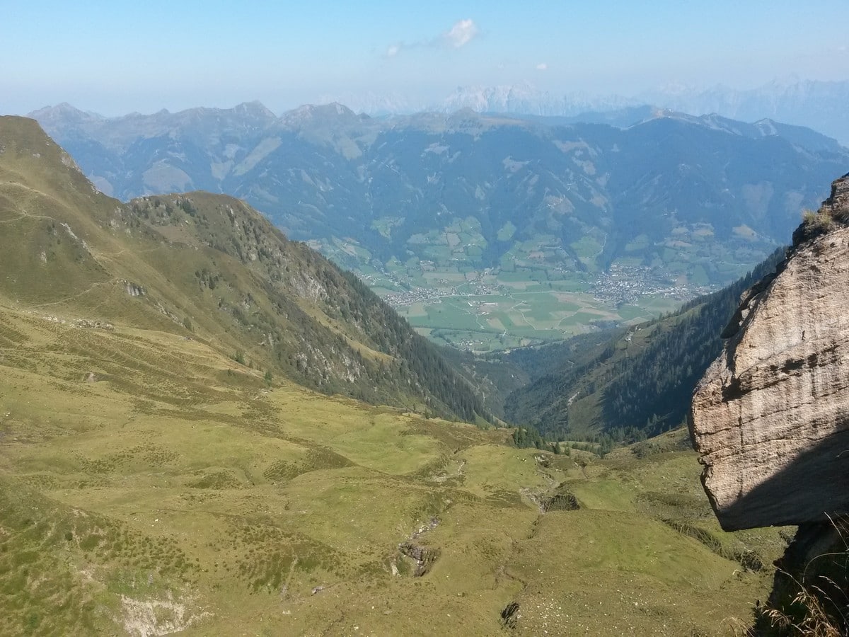
On some parts of the descent there is rope present to help with extra safety since there are steep slopes on one side of the path. Peek over the ridge when possible, you will have a great view in the valley ‘next door’: Dietersbachtal.
Follow the ridge along, passing the Dreiwallner-Höhe towards the Glocknerblick mountain hut. This is the perfect stop for lunch, and is a wonderful traditional hutte, with great staff and wonderful food.
After another 20 minutes, you will reach the Maiskogel family ranch. This is another great place to eat on this hike. This is where the old Maiskogel cable car top-station used to be located. If you are tired and are finished for the day, there is the possibility to take the ‘hiking-bus’ down from here (last run down at 16:30).
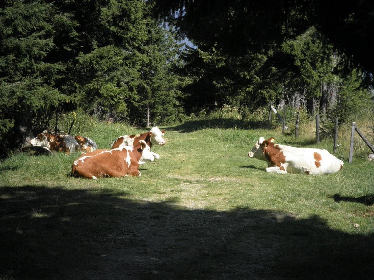
We love this hike, so we encourage you to finish the whole hike. The last bit of the hike is 2 hours of mountain adventure! The route to be taken is called the ‘Maiskogel Güterweg (Route Number 33). This is a broad mountain road trail, which makes its way down to Kaprun in a big snake-like trail. On the way, you have the time to relax and enjoy the stunning views, see parts of the Maiskogel ski area and traditional Austrian farms in action.
Once you get close to the Kaprun again, you will pass Jausenstation Untereigen. This family run farm, restaurant and pension, also has its own ‘Schnapps’-distillery (Austrian brandy). Stop here for a last drink and try one of the award-winning Schnapps from the host, Toni.
After getting totally relaxed, hike the last 20 minutes down to Kaprun. You will find yourself exactly in the city center again. If you have your car parked at the bottom of the glacier cable cars, hop on the 660 bus and drive back to the bottom of the Kitzsteinhorn glacier. Or if you had travelled by bus, you can start your next adventure straight away!
Insider Hints
Because you are at high altitudes, UV can be really sharp. Use a good sun block, ideally SPF 50.
If you are staying in an accommodation in Kaprun, ask if they have the Zell am See-Kaprun Summer card. With that, the cable car ride, hiking bus and normal bus are free!
When you stop for lunch at the Glocknerblick and are looking for a sweet treat, try Tina’s homemade Topfenstrudel with fresh vanilla sauce. You will be in heaven.
If you try schnapps at Toni’s place; the Willi-Birne Schnapps for gentleman, and the hazelnut-schnapps or egg-liqueur for the ladies, are highly recommended!
Click the link to find out more about hiking the Austrian Alps.
Similar hikes to the Alexander-Enzinger Trail hike
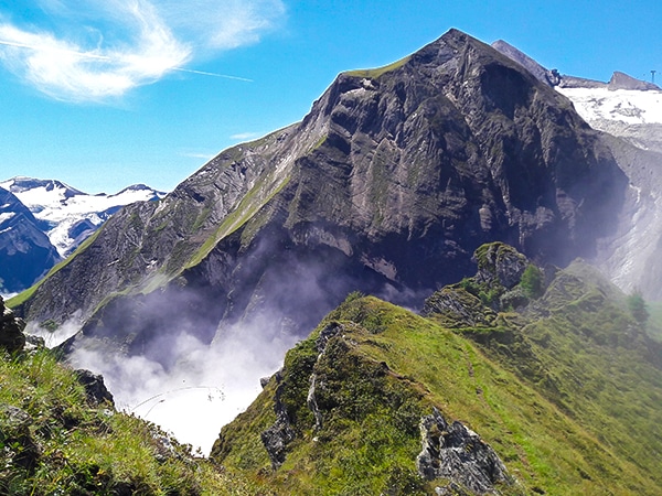
Glacier Lake & Geisstein Hike
The Glacier Lake and Geiβstein hike is a wonderful hike near Zell am See. This is a varied hike covering…
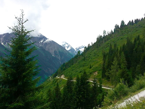
Glocknerblick via Jetzbachsteig Hike
The Glocknerblick via Jetzbachsteig hike is steep, challenging, and beautiful, and a great day of walking if you’re in Zell…
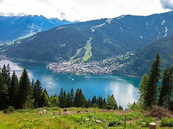
Schwalbenwand & Schönwieskopf Hike
The Schwalbenwand & Schönwieskopf hike is a classic Austrian hike! This fantastic trail has you hiking up two peaks, Schwalbenwand…


TutiDulce 5 years ago
the trail is great, we stopped for a delicious lunch and the trail took us around 6 hours to finish
Cloudhigh 5 years ago
We spent a great day in Zell am See - Kaprun, amazing Alexander-Enzinger walk
Gilberto Fattore 5 years ago
Love this place. Surround by nature and the mountain
Francesco D. 5 years ago
Zell am See is a beautiful town and the views from the peaks are wonderful views
Rixy Lily 5 years ago
The air is chilly, so I suggest wearing a layer of clothing if possible.
Jamie Parker 5 years ago
It was easy but the views are rewarding!
Dawn C. 6 years ago
Alluring views of the snow-peaked mountains. Gorgeous in all angles.
Hilly P. 6 years ago
There's a lot of shops that offer great food in the area. This hike gives an amazing view of the Austrian Alps. Highly recommended.
Jimmy D. 6 years ago
This hike is a stunning hike along a mountain ridge between Kaprun and the Kitzsteinhorn glacier area.
Adrian Cruz 6 years ago
Amazing hike! The views from the top were mesmerizing.