
Myrtle Lake Hike
View Photos
Myrtle Lake Hike
Difficulty Rating:
Myrtle Lake is an 8.4mi lightly trafficked hiking and biking trail in Okanogan-Wenatchee National Forest. This route is moderately difficult but quite scenic, with the views at the lake enticing many to pitch their tents. This route is shared by mountain bikers and dirt bikers, so hike with open ears.
Getting there
The trailhead for the Myrtle Lake hike is at the end of FS Road 5100. There is parking here.

About
| Backcountry Campground | Myrtle Lake Backcountry |
| When to do | March-October |
| Pets allowed | Yes - On Leash |
| Family friendly | Older Children only |
| Route Signage | Average |
| Crowd Levels | Low |
| Route Type | Out and back |
Myrtle Lake Hike
Elevation Graph
Weather
Myrtle Lake Hike Description
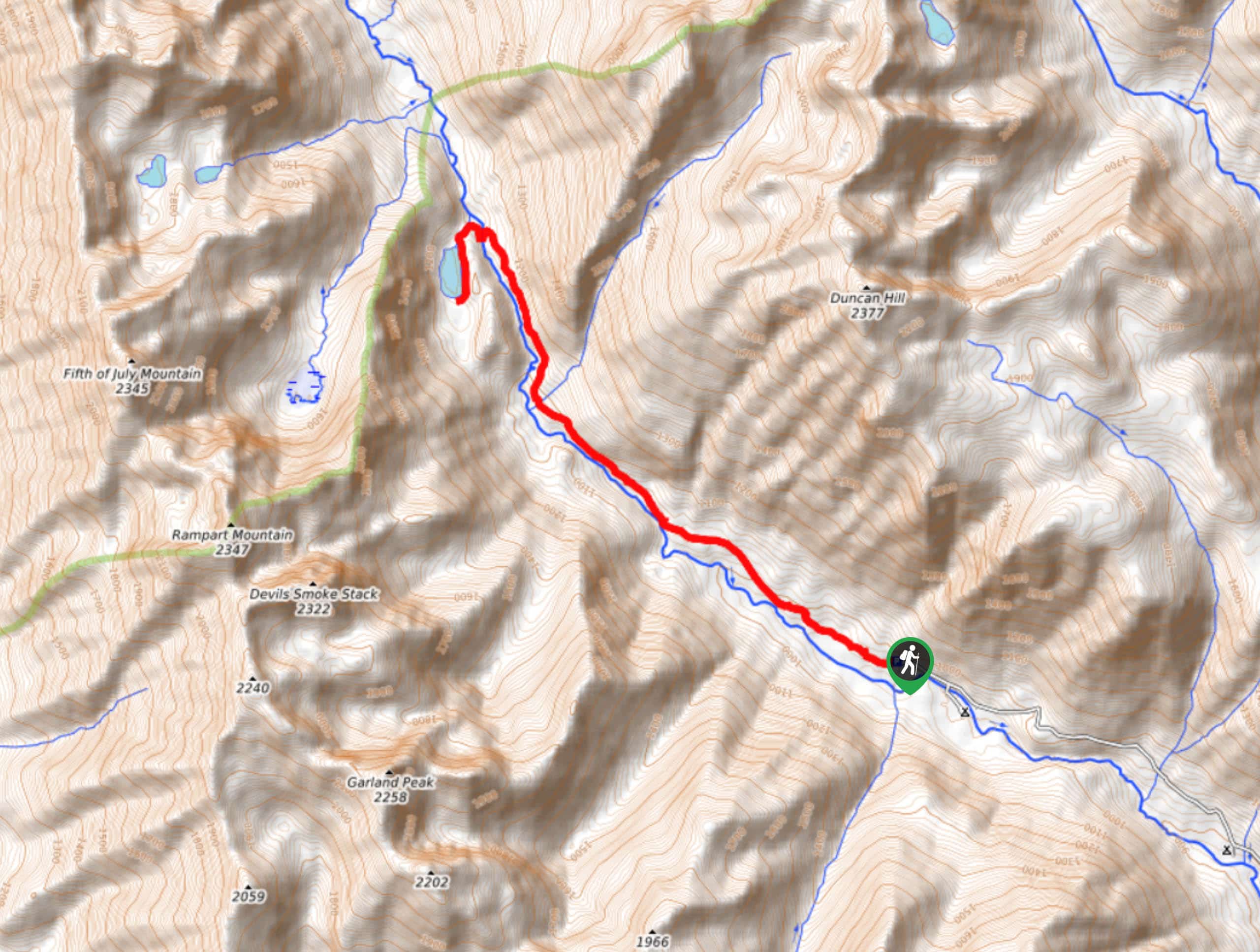
Myrtle Lake is a scenic, generally quiet trail to a pretty alpine lake with camping spots around it. The views are lovely. Note that the trail is mostly unshaded due to a previous fire. Expect 4 easy creek crossings and a beautiful new bridge over the largest one.
Begin from the trailhead, hiking alongside the Entiat River. You’ll keep the river on your left the entire way. The elevation gain is mostly gradual. Spend some time checking out the regrowth from the burn, which often allows more flowers to flourish before trees begin to block the sun again. As you approach the end, the Myrtle Lake junction is marked with pink ribbons signed for the lake. Go left to find the shore. From here, you’ll retrace your steps back to the trailhead.
Similar hikes to the Myrtle Lake Hike hike
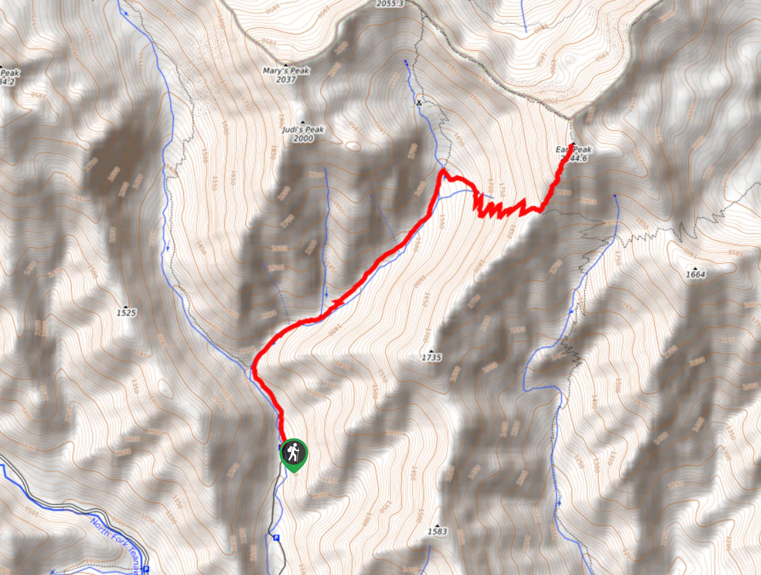
Earl Peak via Bean Creek Trail
Earl Peak via Bean Creek Trail is a hard hike with varied scenery. The trail is 6.5mi long…
Little Giant Pass Hike
Little Giant Pass is a 8.5mi hike in Okanogan-Wenatchee National Forest. This hike is tough, but it’s kept…
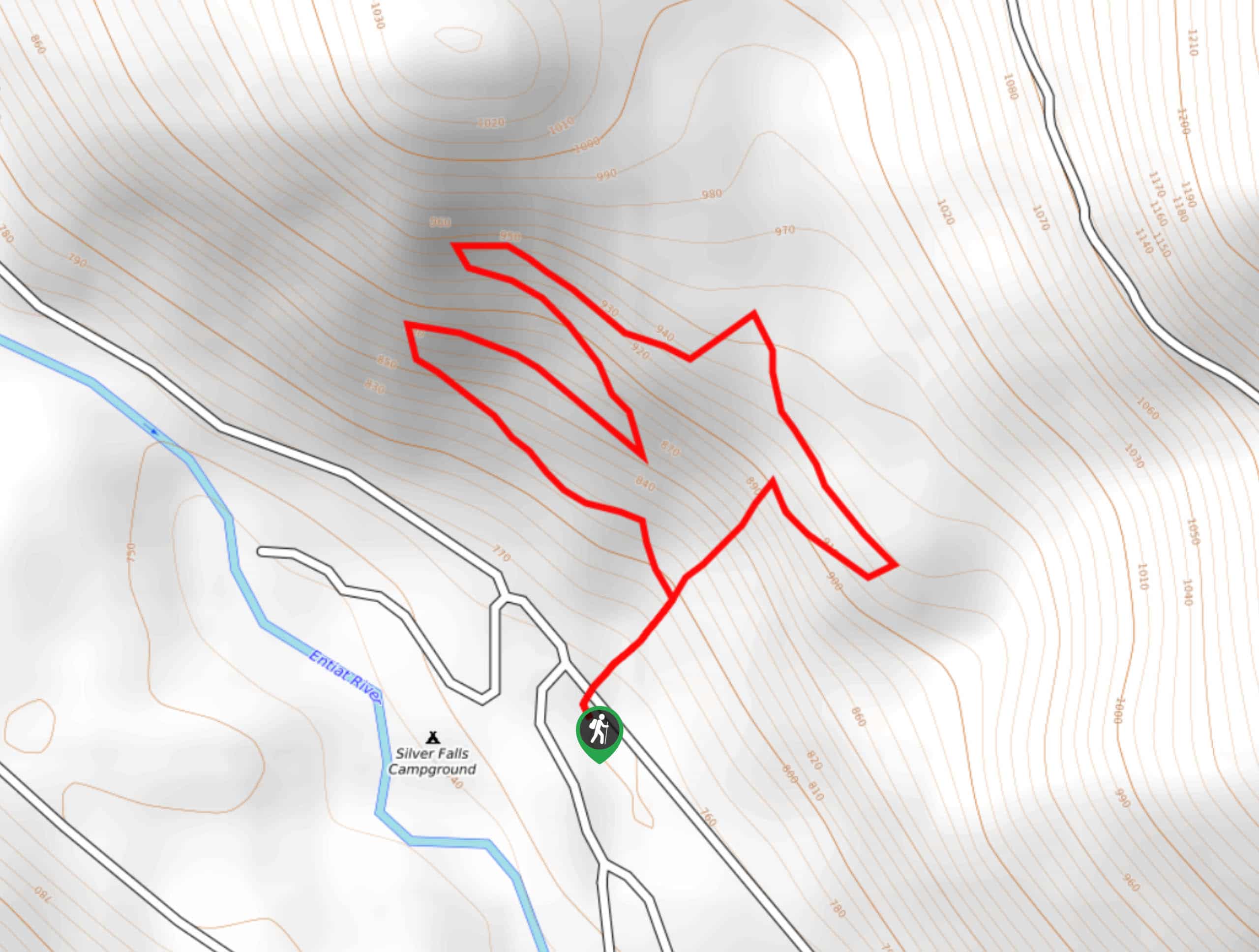
Silver Falls Trail
Silver Falls Trail is a delightful hike suitable for the whole family. It takes you into a fascinating canyon with…
Comments