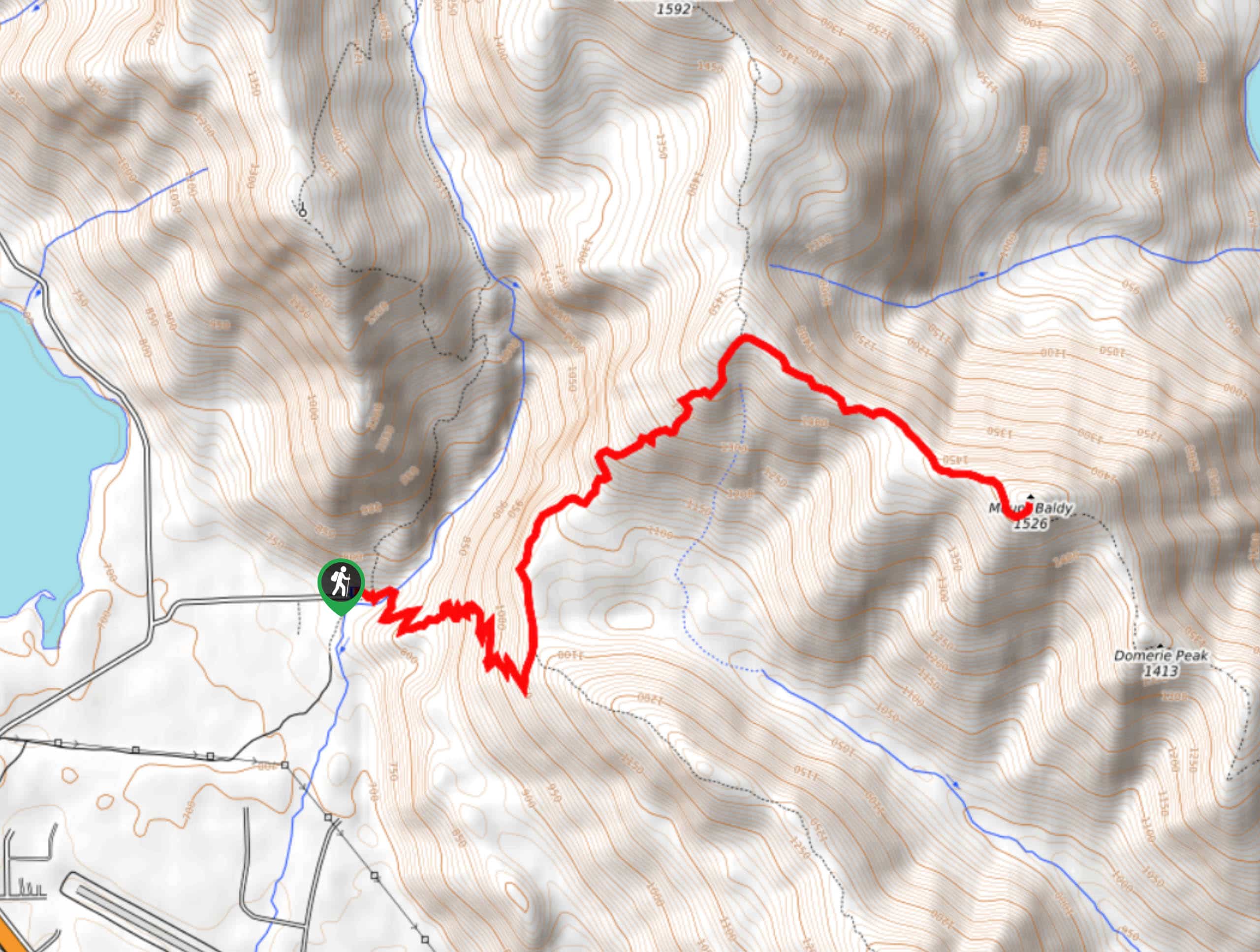


Mount Baldy via Domerie Divide Trail
View PhotosMount Baldy via Domerie Divide Trail
Difficulty Rating:
Mount Baldy via Domerie Divide Trail is a really spectacular hike that sees little traffic. The views of Mount Rainier and the Stuart Range are sublime, but you’ll need to do your fair share of work to access them. Expect brutally steep sections where poles are a must. This hike is 7.0mi long and rated as hard.
Getting there
The trailhead for Mount Baldy via Domerie Divide Trail is at the end of spur road 4818-101. There is parking here.
About
| Backcountry Campground | No |
| When to do | May-September |
| Pets allowed | Yes |
| Route Signage | None |
| Crowd Levels | Low |
| Route Type | Out and back |
Mount Baldy via Domerie Divide Trail
Elevation Graph
Weather
Mount Baldy via Domerie Divide Trail Description
Mount Baldy is a lesser-known gem with spectacular views of the Stuart Range and Mount Rainier at the summit. This hike is infamous for 2.0mi–3.0mi of the trail, which are aggressively straight up on dusty footing. Bring poles for this section and be prepared to slog. Additionally, this trail is exposed to the sun and hot, so we strongly recommend sunscreen and extra water on sunny days.
Begin from the trailhead. Cross Silver Creek and begin to switchback. The first section to the rock face is a solid warm-up. Once you’re into the second mile, things get rough with a steep, dry trail that makes slipping all too easy. Poles are a must here. Once you crest the ridge, go right and traverse to the summit. Soak up those views before tackling the descent.
Similar hikes to the Mount Baldy via Domerie Divide Trail hike

Earl Peak via Bean Creek Trail
Earl Peak via Bean Creek Trail is a hard hike with varied scenery. The trail is 6.5mi long…

Seven Fingered Jack Hike
Seven Fingered Jack is a hike suitable for experienced hikers who are comfortable with loose rocky scrambles that lack a…

Little Giant Pass Hike
Little Giant Pass is a 8.5mi hike in Okanogan-Wenatchee National Forest. This hike is tough, but it’s kept…


Comments