

Lake Stuart Trail
View PhotosLake Stuart Trail
Difficulty Rating:
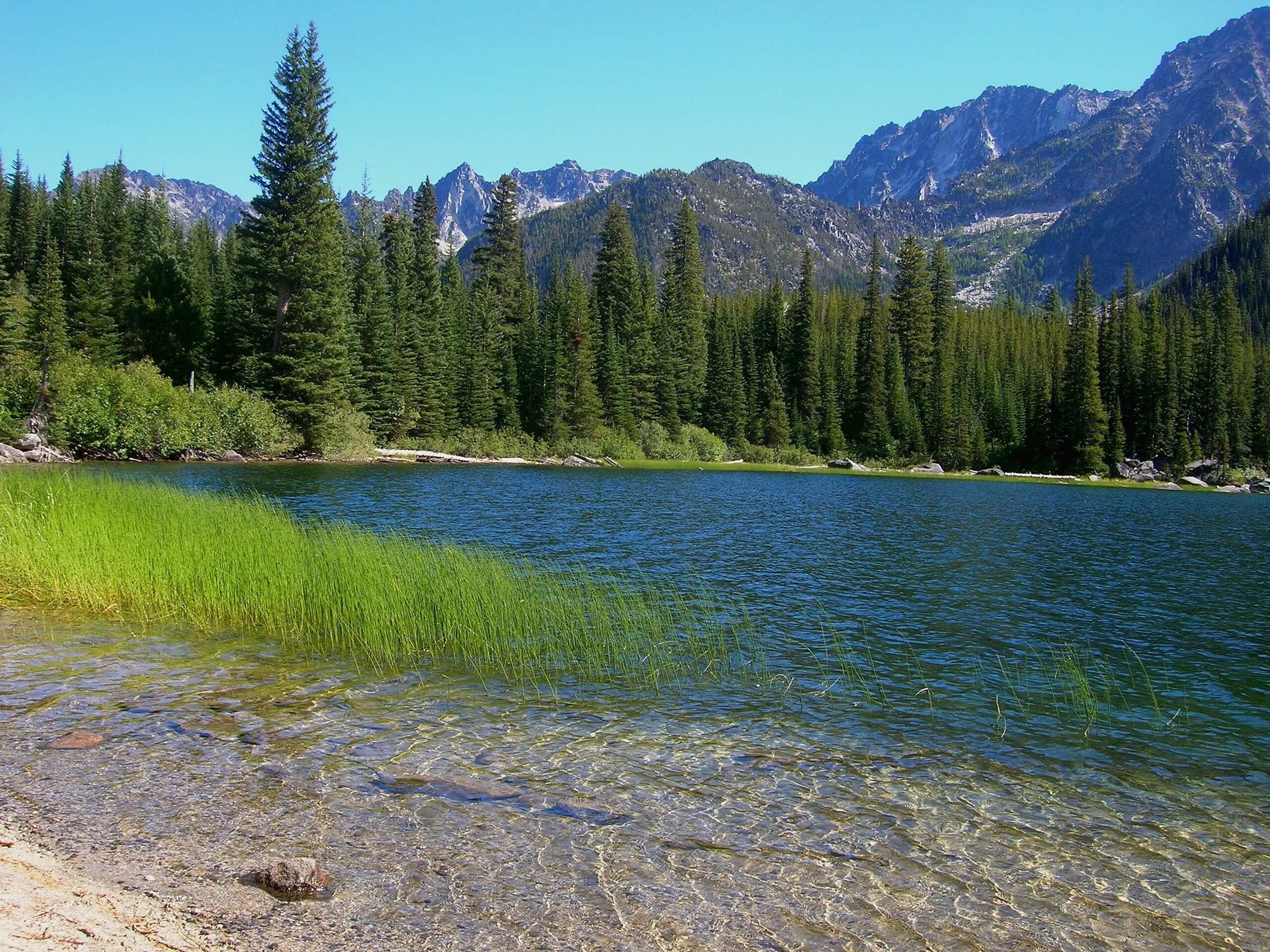
Lake Stuart is a beautiful alpine lake in the aptly named Alpine Lakes Wilderness and a fantastic moderate day hike. Sharing a trail with the renowned Colchuck Lake, you could easily visit both in one go or make a backpacking trip out of it. Expect moderate traffic on this trail. Enjoy lots of wildflowers in the early summer.
Getting there
The trailhead for the Lake Stuart Trail is at the Lake Stuart Trailhead on Forest Service Road 7601.
About
| Backcountry Campground | Lake Stuart Backcountry |
| When to do | June-October |
| Pets allowed | No |
| Family friendly | No |
| Route Signage | Average |
| Crowd Levels | High |
| Route Type | Out and back |
Lake Stuart Trail
Elevation Graph
Weather
Lake Stuart Trail Description
While more hikers begin at the Lake Stuart Trailhead bound for Colchuck Lake, Stuart is also well worth your time. This is a moderate, beautiful hike with more wildflowers and a bit less intensity than the Colchuck Lake hike. If you wanted to use this trail to see both in a day, you certainly could.
Begin from the trailhead. The first mile and a half is gradual, hiking through a forest that becomes less dense the further you get. You’ll cross over to the right bank of Mountaineer Creek. From here, things pick up as the trail begins to steepen.
The trail splits, with the left-hand branch going up to Colchuck. Stay right and enjoy a flatter section of trail until the final push up to Lake Stuart. Rest up by the shores and enjoy the views before retracing your steps back to the parking lot.
Insider Hints
Permits are required if you plan to camp.
Bug spray is recommended for this hike.
Similar hikes to the Lake Stuart Trail hike

Earl Peak via Bean Creek Trail
Earl Peak via Bean Creek Trail is a hard hike with varied scenery. The trail is 6.5mi long…

Little Giant Pass Hike
Little Giant Pass is a 8.5mi hike in Okanogan-Wenatchee National Forest. This hike is tough, but it’s kept…

Silver Falls Trail
Silver Falls Trail is a delightful hike suitable for the whole family. It takes you into a fascinating canyon with…


Comments