

Esmeralda Basin Trail
View PhotosEsmeralda Basin Trail
Difficulty Rating:
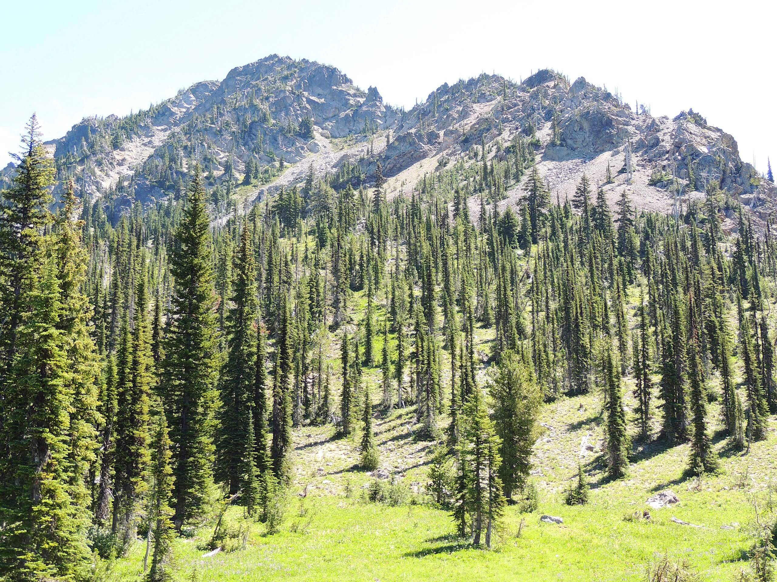
Esmeralda Basin is a beautiful spot, especially when the fall colors arrive. The trail is dotted with wildflowers, berries, and small creeks. This hike is 8.7mi long, moderately difficult, and easy to follow. Expect moderate traffic. There is also the option to hike Esmeralda Basin as a loop.
Getting there
The trailhead for the Esmeralda Basin is at the end of N Fork Teanaway Road.
About
| Backcountry Campground | No |
| When to do | May-November |
| Pets allowed | Yes - On Leash |
| Family friendly | Older Children only |
| Route Signage | Average |
| Crowd Levels | Moderate |
| Route Type | Out and back |
Esmeralda Basin Trail
Elevation Graph
Weather
Esmeralda Basin Trail Description
Esmeralda Basin is surrounded by mountains, providing panoramic views over the scenery in all directions. It’s especially nice when autumn washes everything in red and gold. This hike doesn’t tend to get too busy and is easy to follow.
Beginning from the trailhead, hike along the creek, staying left where a trail branches off to the right. You’ll gently switchback, then begin to gain a bit more elevation near the end of the creek. Stay left at the fork past the switchbacks and then make your way down into the basin. The trail ends where it connects to the Fortune Creek Jeep Trail. From here, turn back and retrace your steps.
Similar hikes to the Esmeralda Basin Trail hike

Earl Peak via Bean Creek Trail
Earl Peak via Bean Creek Trail is a hard hike with varied scenery. The trail is 6.5mi long…

Little Giant Pass Hike
Little Giant Pass is a 8.5mi hike in Okanogan-Wenatchee National Forest. This hike is tough, but it’s kept…

Silver Falls Trail
Silver Falls Trail is a delightful hike suitable for the whole family. It takes you into a fascinating canyon with…


Comments