

Esmeralda Basin Loop
View PhotosEsmeralda Basin Loop
Difficulty Rating:
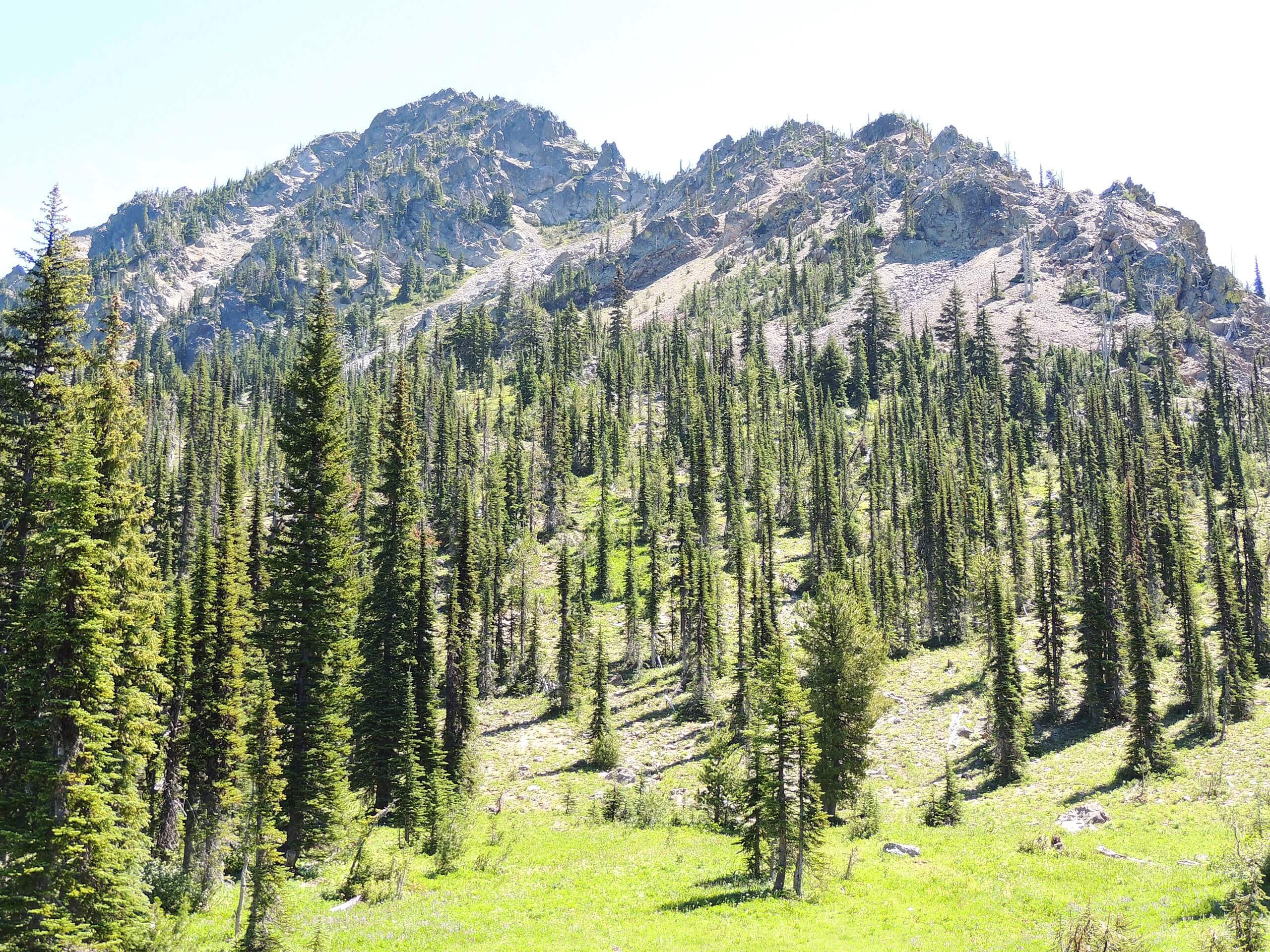
Esmeralda Basin is a gorgeous location, especially when the fall colors arrive. The trail is dotted with wildflowers, berries, and small creeks. The mountains overhead provide views in every direction. This hike is 11.6mi long, fairly difficult, and easy to follow. Expect heavy traffic. There is also the option to hike Esmeralda Basin as an out and back trail.
Getting there
The trailhead for the Esmeralda Basin is north of De Roux Horse Campground off N Fork Teanaway Road.
About
| Backcountry Campground | No |
| When to do | July-October |
| Pets allowed | Yes - On Leash |
| Family friendly | No |
| Route Signage | Average |
| Crowd Levels | High |
| Route Type | Loop |
Esmeralda Basin Loop
Elevation Graph
Weather
Esmeralda Basin Loop Description
Esmeralda Basin is punctuated by the Esmeralda Peaks, providing great mountain views. It’s especially pretty when autumn makes everything red and gold. This loop approach offers a longer hike with more diverse scenery than the out and back approach, but it is more difficult. Some prefer the scenery on the out and back trail.
You can hike this loop either way. You’ll either begin by heading left from the trailhead and hiking below the western flanks of Esmeralda Peaks, following the creek before climbing to Gallagher Head Lake and keeping right to the fork. Going right at the fork, there’s more climbing to get onto the northeastern side of the peaks, eventually dropping south and hiking alongside the creek back to the trailhead. You can also start right and go counter-clockwise, which would require more steep descents than ascents.
Similar hikes to the Esmeralda Basin Loop hike

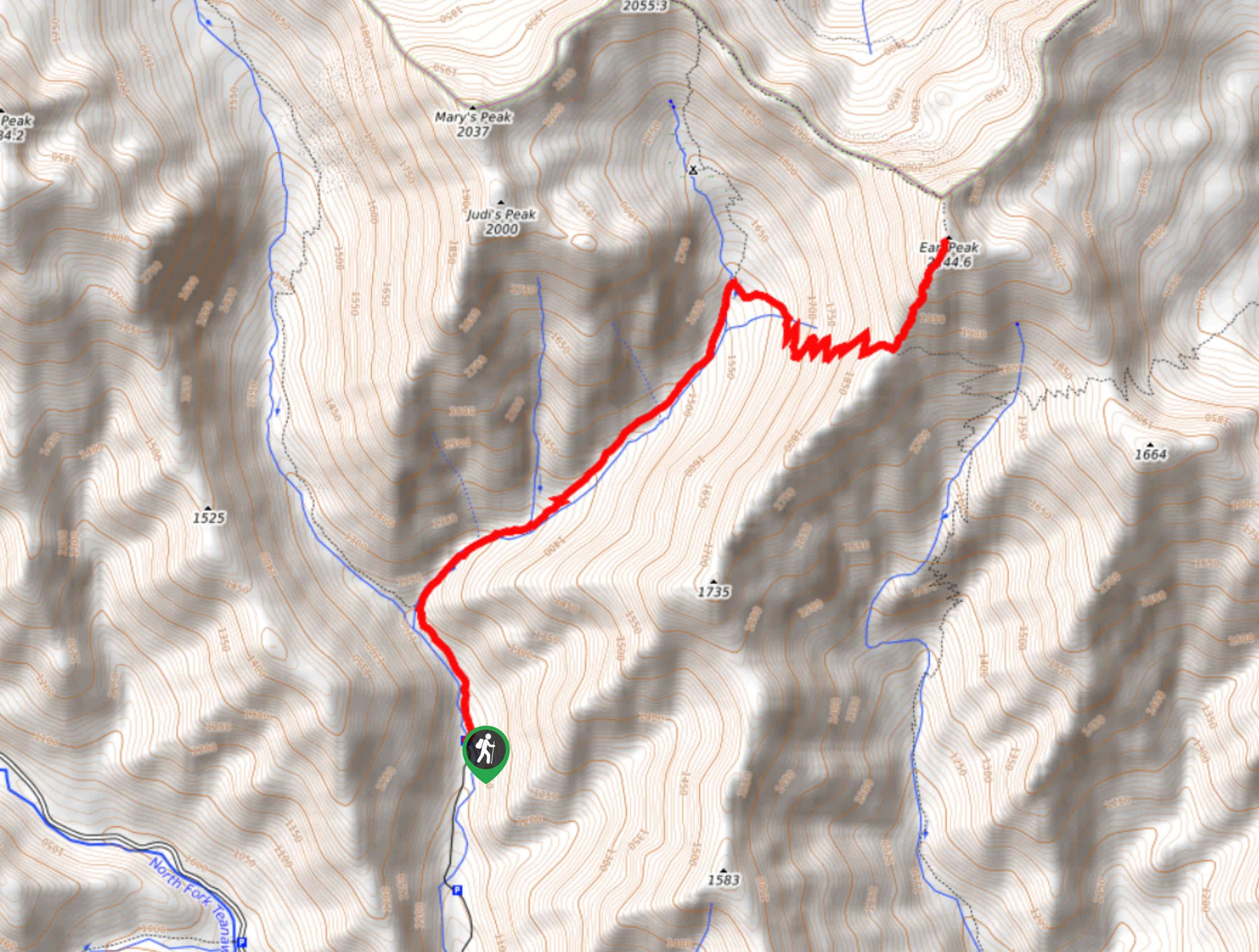
Earl Peak via Bean Creek Trail
Earl Peak via Bean Creek Trail is a hard hike with varied scenery. The trail is 6.5mi long…

Seven Fingered Jack Hike
Seven Fingered Jack is a hike suitable for experienced hikers who are comfortable with loose rocky scrambles that lack a…

Little Giant Pass Hike
Little Giant Pass is a 8.5mi hike in Okanogan-Wenatchee National Forest. This hike is tough, but it’s kept…


Comments