

Carne Mountain Basin Hike
View PhotosCarne Mountain Basin Hike
Difficulty Rating:
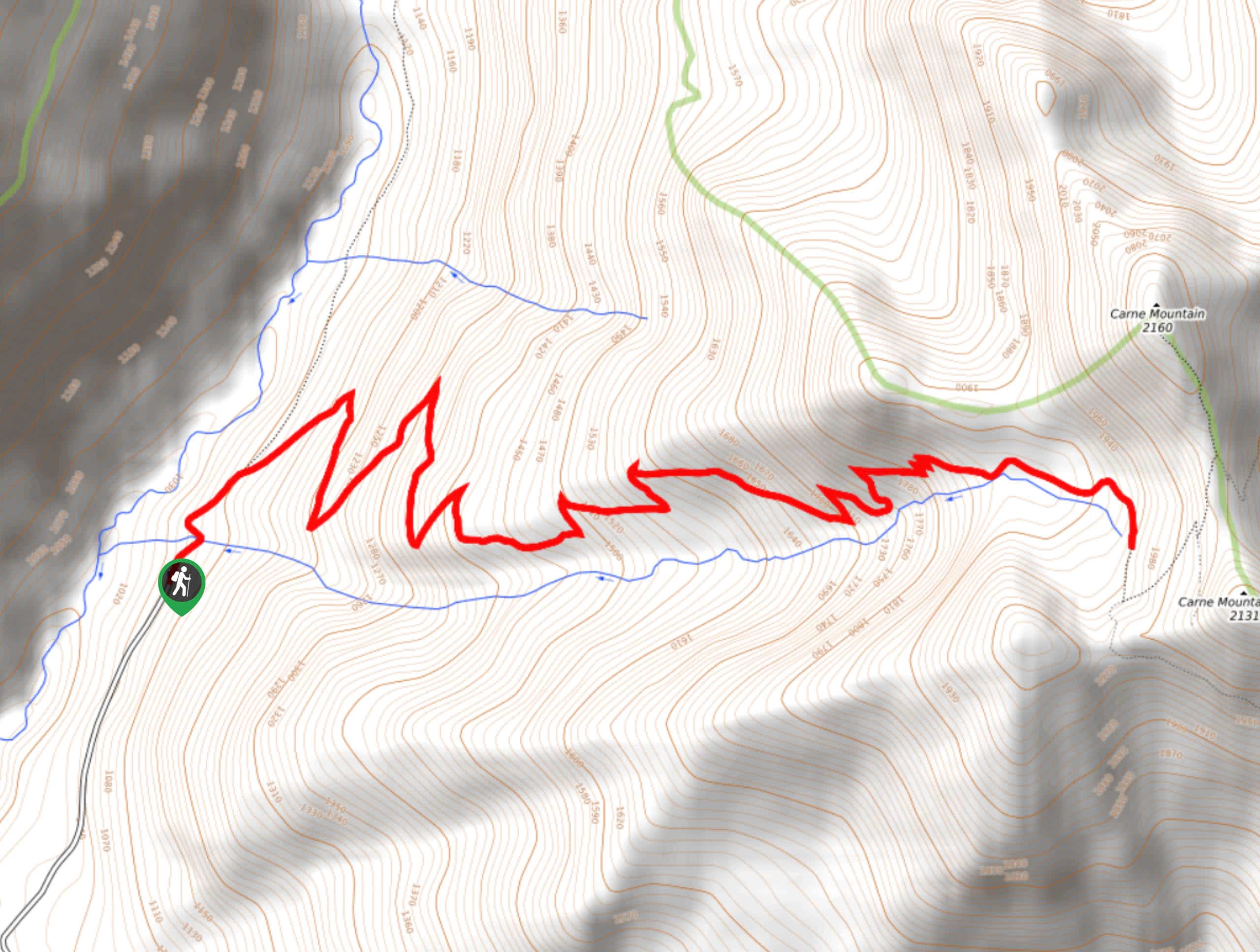
Looking for those perfect golden larches? Carne Mountain Basin sees the majority of its yearly traffic in the autumn due to the density of larches along the trail. This hike is 7.7mi long and is considered hard. You can either do this as a day trip to set up camp in the basin. Expect light traffic during most of the summer and heavier traffic in the fall season.
If you want to bag the summit of Carne Mountain, check out our route guide.
Getting there
The trailhead for the Carne Mountain Basin is at the Phelps Creek Trailhead at the end of Phelps Creek Trailhead Road.
About
| Backcountry Campground | Carne Basin Camp |
| When to do | March-October |
| Pets allowed | Yes - On Leash |
| Family friendly | No |
| Route Signage | Average |
| Crowd Levels | Moderate |
| Route Type | Out and back |
Carne Mountain Basin Hike
Elevation Graph
Weather
Carne Mountain Basin Hike Description
Carne Mountain Basin is a splendid hike, especially when the larches are golden. Expect many more users than normal in the autumn, making an early start in the fall highly recommended. Some sections of the trail can be muddy or snowy in late season, so microspikes and poles might be helpful to have.
The hike starts at the Phelps Creek Trailhead and takes you through switchbacks for about 2.5mi, mostly in the forest initially. Gaining around 1000ft with each mile, it’s a consistent and solid ascent. The views open up as you reach the basin, where you’ll likely find campers. Revel in the views here, then either continue up to the summit or turn back to start your descent.
Similar hikes to the Carne Mountain Basin Hike hike

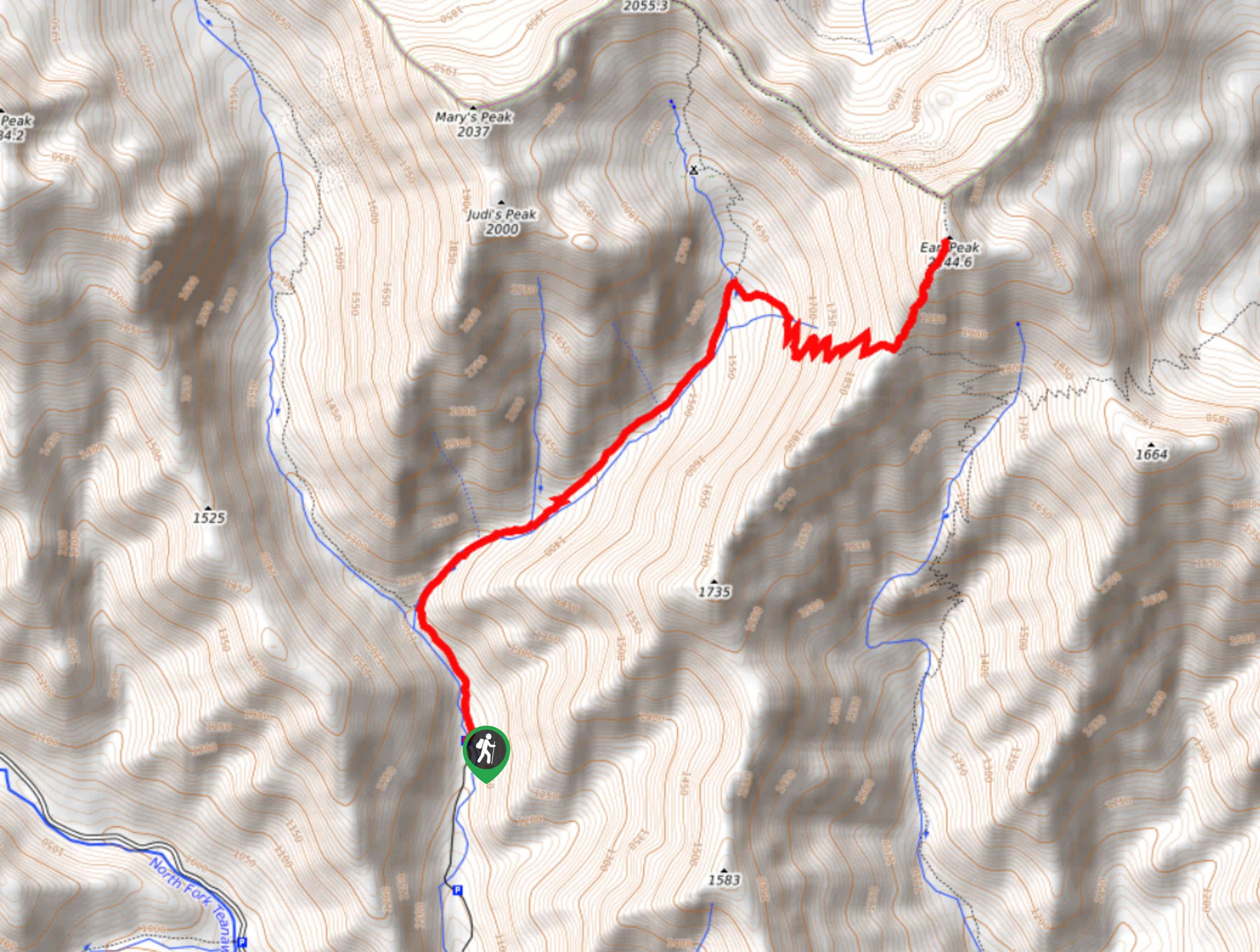
Earl Peak via Bean Creek Trail
Earl Peak via Bean Creek Trail is a hard hike with varied scenery. The trail is 6.5mi long…

Little Giant Pass Hike
Little Giant Pass is a 8.5mi hike in Okanogan-Wenatchee National Forest. This hike is tough, but it’s kept…

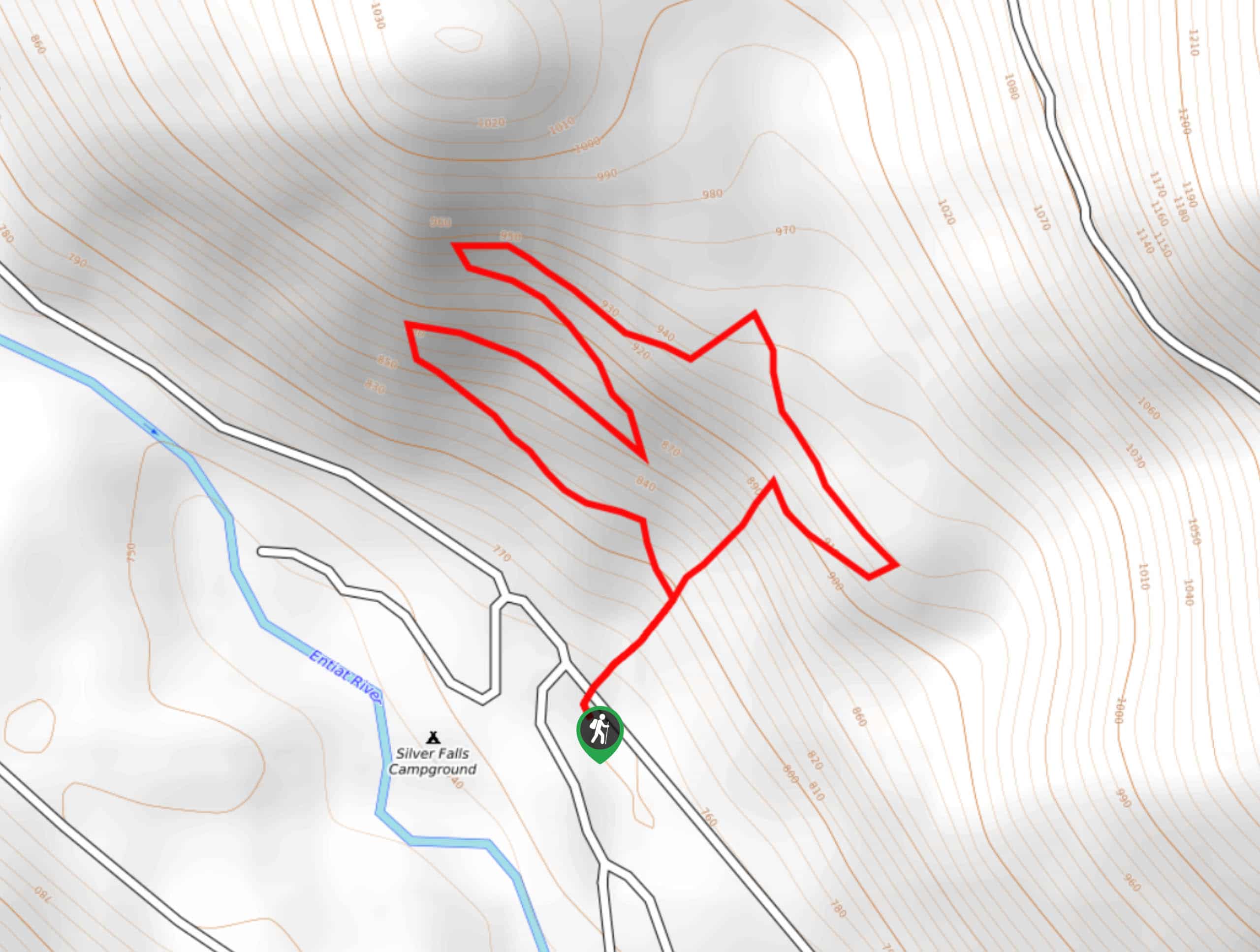
Silver Falls Trail
Silver Falls Trail is a delightful hike suitable for the whole family. It takes you into a fascinating canyon with…


Comments