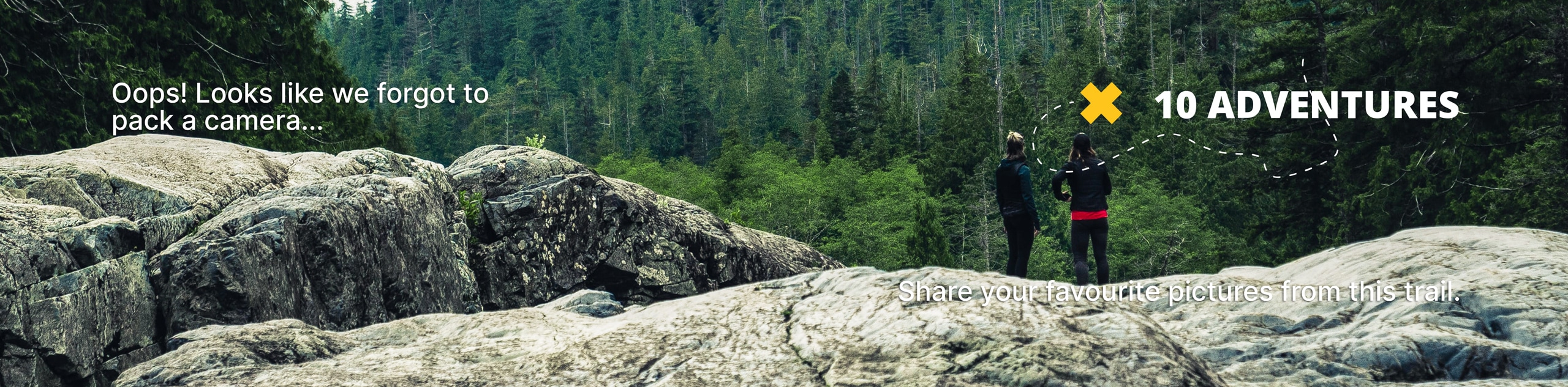
Black Jack Ridge Trail
View Photos
Black Jack Ridge Trail
Difficulty Rating:
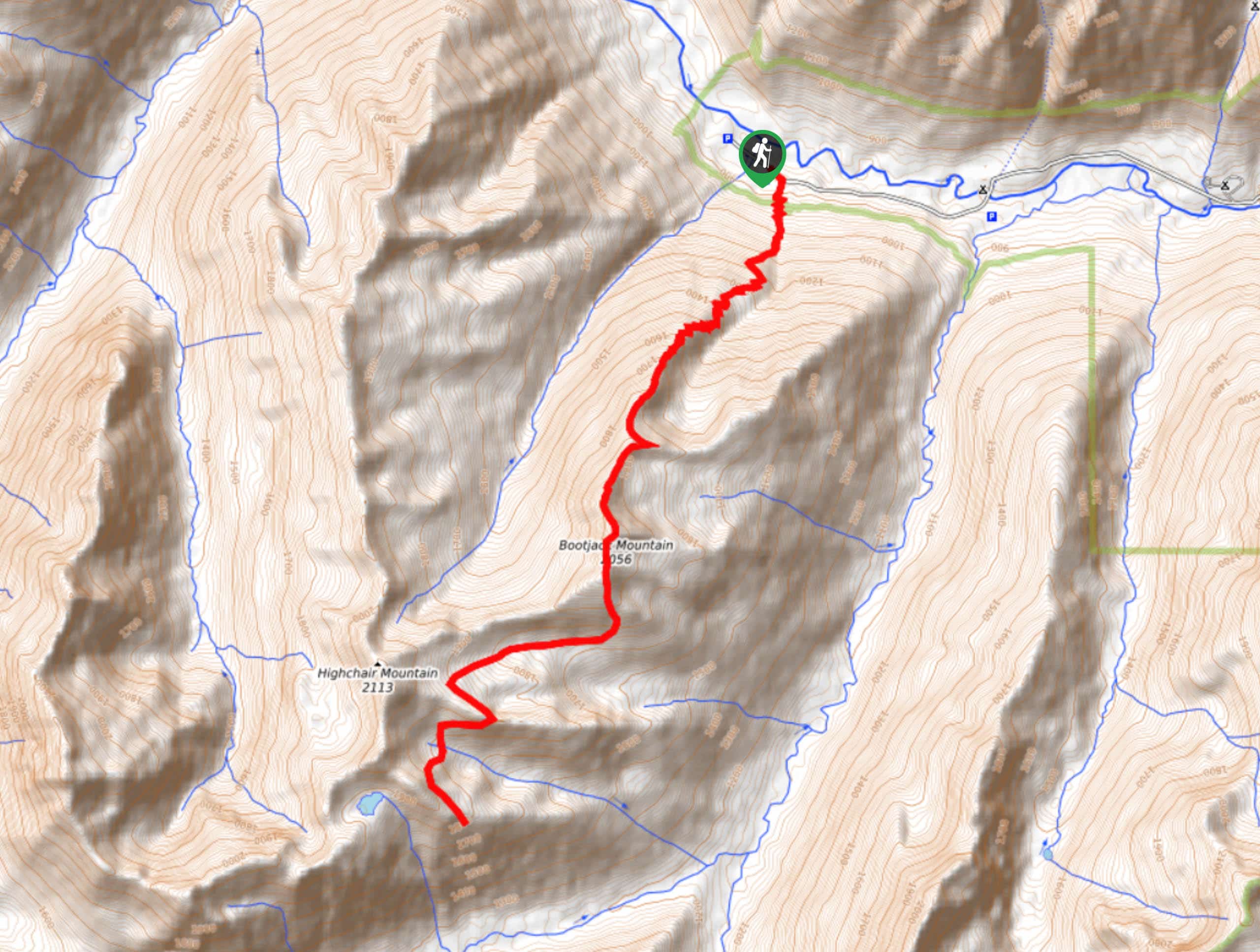
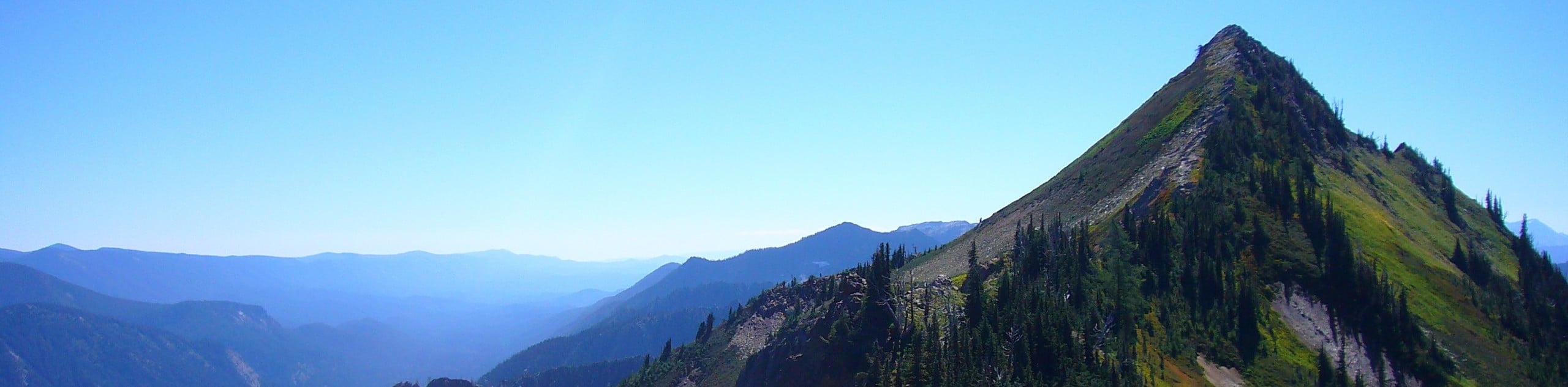
Black Jack Ridge Trail is a 12.8mi challenging hike that leads you across a ridge to Bootjack Mountain and just underneath Highchair Mountain. This hike gains 6840ft of elevation, so it goes without saying that you’ll need to be in excellent shape to take it on. Additionally, you may wish to bring crampons and an ice axe to navigate the snowfields that stick around well into the summer. Expect light traffic on this trail.
Getting there
The trailhead for Black Jack Ridge Trail is on Icicle Road.

About
| Backcountry Campground | No |
| When to do | June-September |
| Pets allowed | Yes - On Leash |
| Family friendly | No |
| Route Signage | Average |
| Crowd Levels | Low |
| Route Type | Out and back |
Black Jack Ridge Trail
Elevation Graph
Weather
Black Jack Ridge Trail Description
Keen to go up? This trail is for you. With a staggering amount of elevation gain packed into a sub-13.0mi hike, Black Jack Ridge is a formidable adventure. To stay safe on the trail, make sure you download your GPS track to aid in routefinding where needed and bring an ice axe and crampons to help with the snowfields that linger well into the summer.
Beginning from Icicle Road, you’ll waste no time in your ascent. Climb a relentless string of switchbacks, which later straightens out as you begin to traverse the ridge. You’ll hop over the summit of Bootjack Mountain before the trail drops off the ridge underneath Highchair Mountain. If you’re here to enjoy the views, consider turning around at the summit of Bootjack. Descending and then re-ascending the portion of trail beyond the summit adds plenty of effort for little additional reward.
Similar hikes to the Black Jack Ridge Trail hike
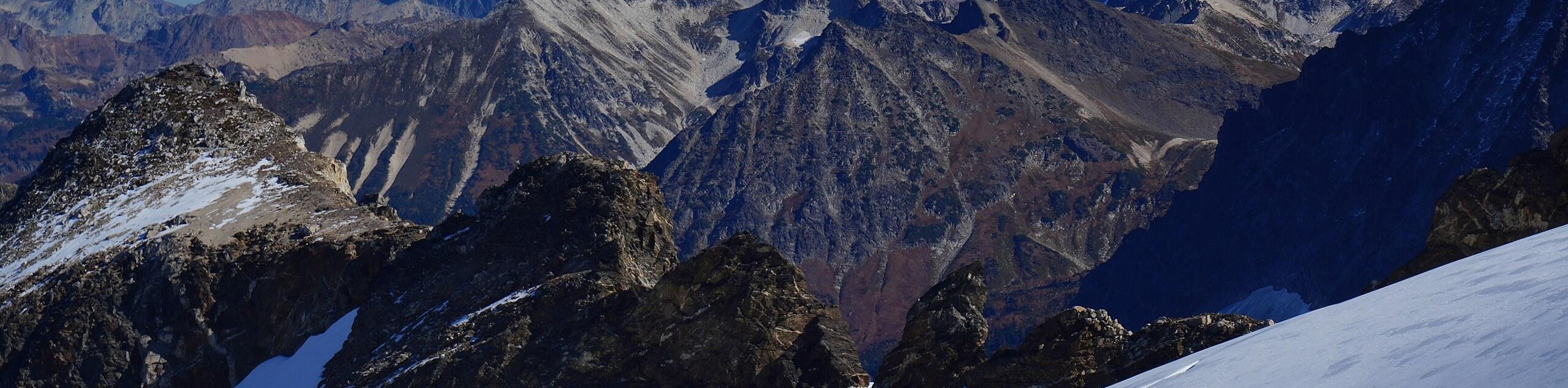
Earl Peak via Bean Creek Trail
Earl Peak via Bean Creek Trail is a hard hike with varied scenery. The trail is 6.5mi long…
Seven Fingered Jack Hike
Seven Fingered Jack is a hike suitable for experienced hikers who are comfortable with loose rocky scrambles that lack a…
Little Giant Pass Hike
Little Giant Pass is a 8.5mi hike in Okanogan-Wenatchee National Forest. This hike is tough, but it’s kept…
Comments