Shorepine Bog Trail
View PhotosShorepine Bog Trail
Difficulty Rating:
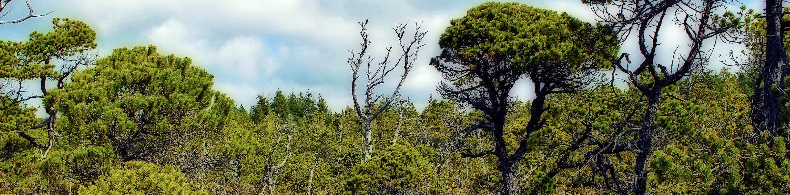
The Shorepine Bog Trail is a 0.5mi hiking loop that traverses a wooden boardwalk and provides an insight into the exciting and unique bog ecosystem. Hikers will travel along the boardwalk and absorb information from interpretive signs about this otherworldly landscape. This route is perfect for a quick break from driving to stretch your legs and learn about the diversity of the landscape around Tofino.
Getting there
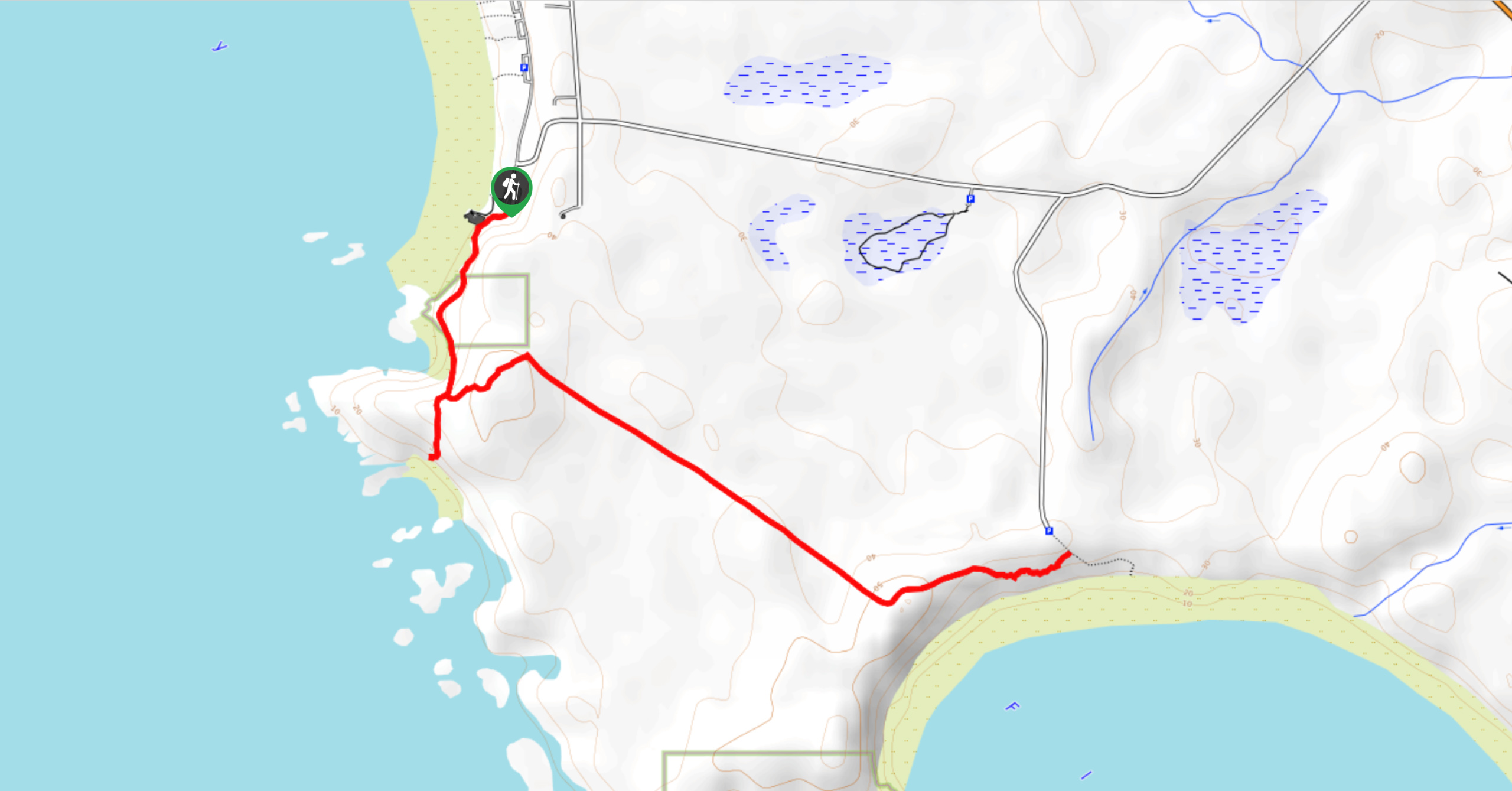
To reach the parking area for the Shorepine Bog Trail from Tofino, drive southeast on BC-4/Pacific Rim Highway for 16.9mi and make a right turn onto Wick Road. After 1.0mi, you will find the trailhead on the left.

About
| When to do | Year-round |
| Backcountry Campsites | No |
| Pets allowed | Yes - On Leash |
| Family friendly | Yes |
| Route Signage | Average |
| Crowd Levels | Low |
| Route Type | Lollipop |
Shorepine Bog Trail
Elevation Graph
Weather
Shorepine Bog Trail Description
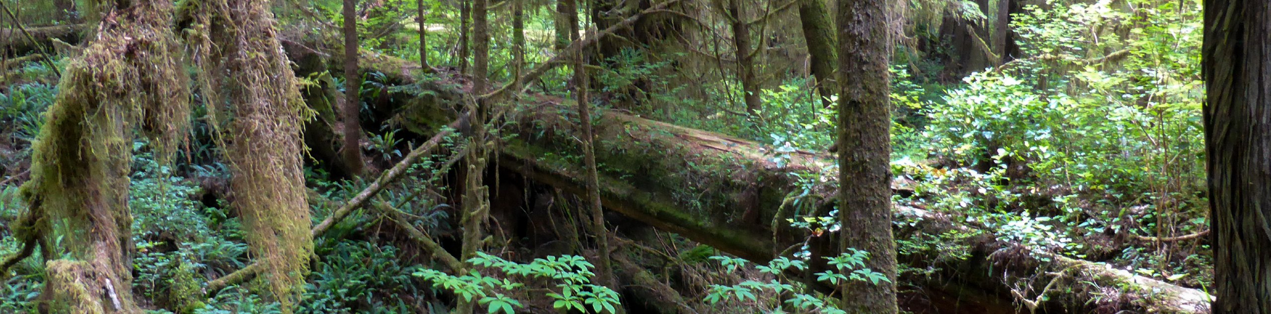
Hiking along the Shorepine Bog Trail is a unique experience within the Pacific Rim National Park Reserve that will leave you feeling as though you’ve just hiked on another planet. The trail sets out through the forest along a wooden boardwalk that loops around the bog and features informative signs about the landscape. As you work your way around the short loop, you will see various interesting plant life that differs from the vegetation you would find in the surrounding temperate rainforests.
This quick hike is an excellent option for families with young kids that enjoy exploring the outdoors and experiencing unique environmental settings.
Similar hikes to the Shorepine Bog Trail hike
Green Point Trail to Combers Beach
The Green Point Trail to Combers Beach is a quick hike that will take you from the Green Point Campground…
Nuu Chah Nulth Trail
The Nuu Chah Nulth Trail is a 3.8mi out-and-back hiking route that sets out from the Kwisitis Visitor…
Rainforest Trail
The Rainforest Trail is a 2.0mi circuit through the temperate rainforests near Tofino, BC, that will provide a…
Comments