

Canso Crash Site Trail
View PhotosCanso Crash Site Trail
Difficulty Rating:
The Canso Crash Site Trail is a 3.2mi out-and-back hiking route south of Tofino that traverses various terrain through the forest to reach the site of a Royal Canadian Air Force plane crash from 1945. This hike is perfect for those that are looking to combine a fun day in the forest with an interest in visiting historical sites. The route passes through some very muddy terrain, so wear proper footwear to keep your feet dry on this hike.
Getting there
To get to the parking area for the Canso Crash Site Trail from Tofino, head east on Campbell Street for 1.3mi and keep straight onto BC-4. Make a right turn after 5.1mi, and you will find the parking area.
About
| When to do | May–October |
| Backcountry Campsites | No |
| Pets allowed | No |
| Family friendly | Older Children only |
| Route Signage | Average |
| Crowd Levels | High |
| Route Type | Out and back |
Canso Crash Site Trail
Elevation Graph
Weather
Canso Crash Site Trail Description
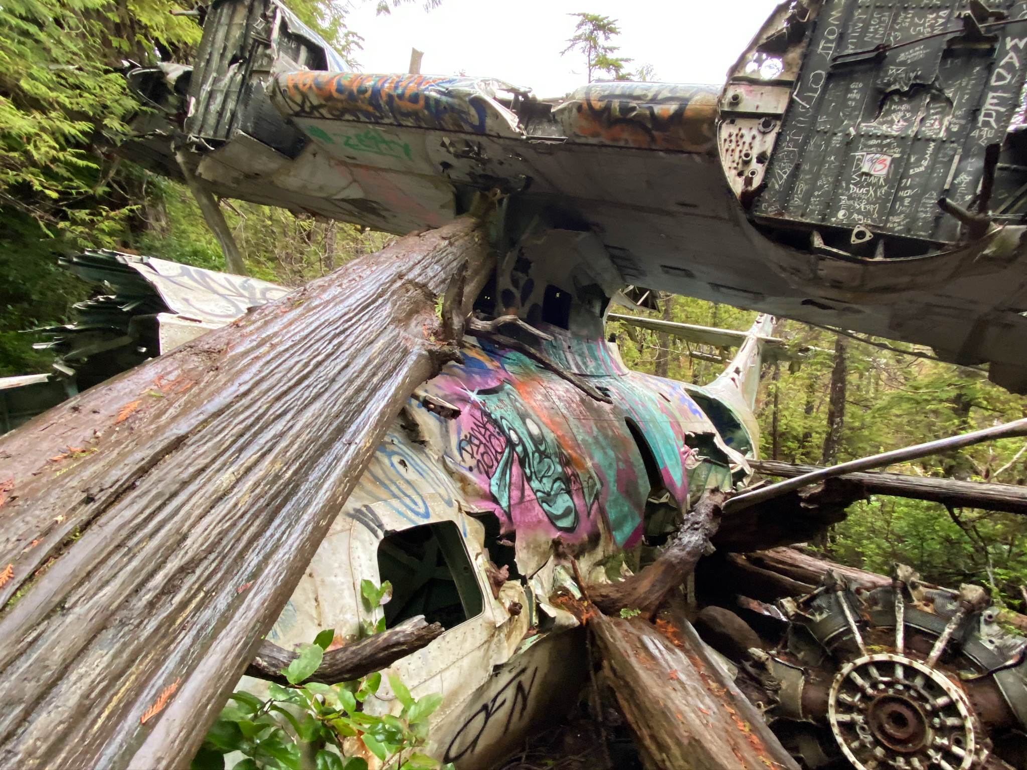
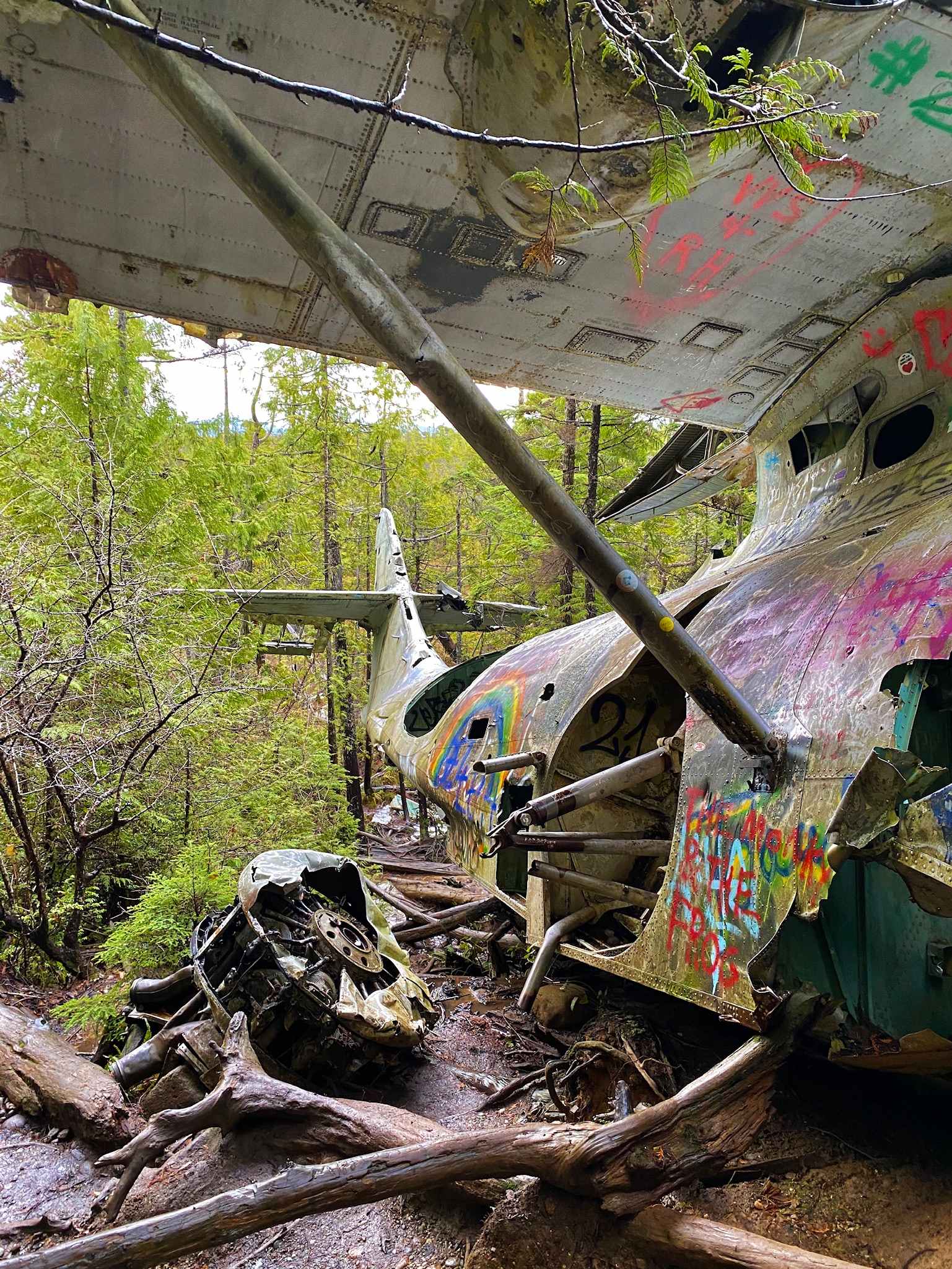
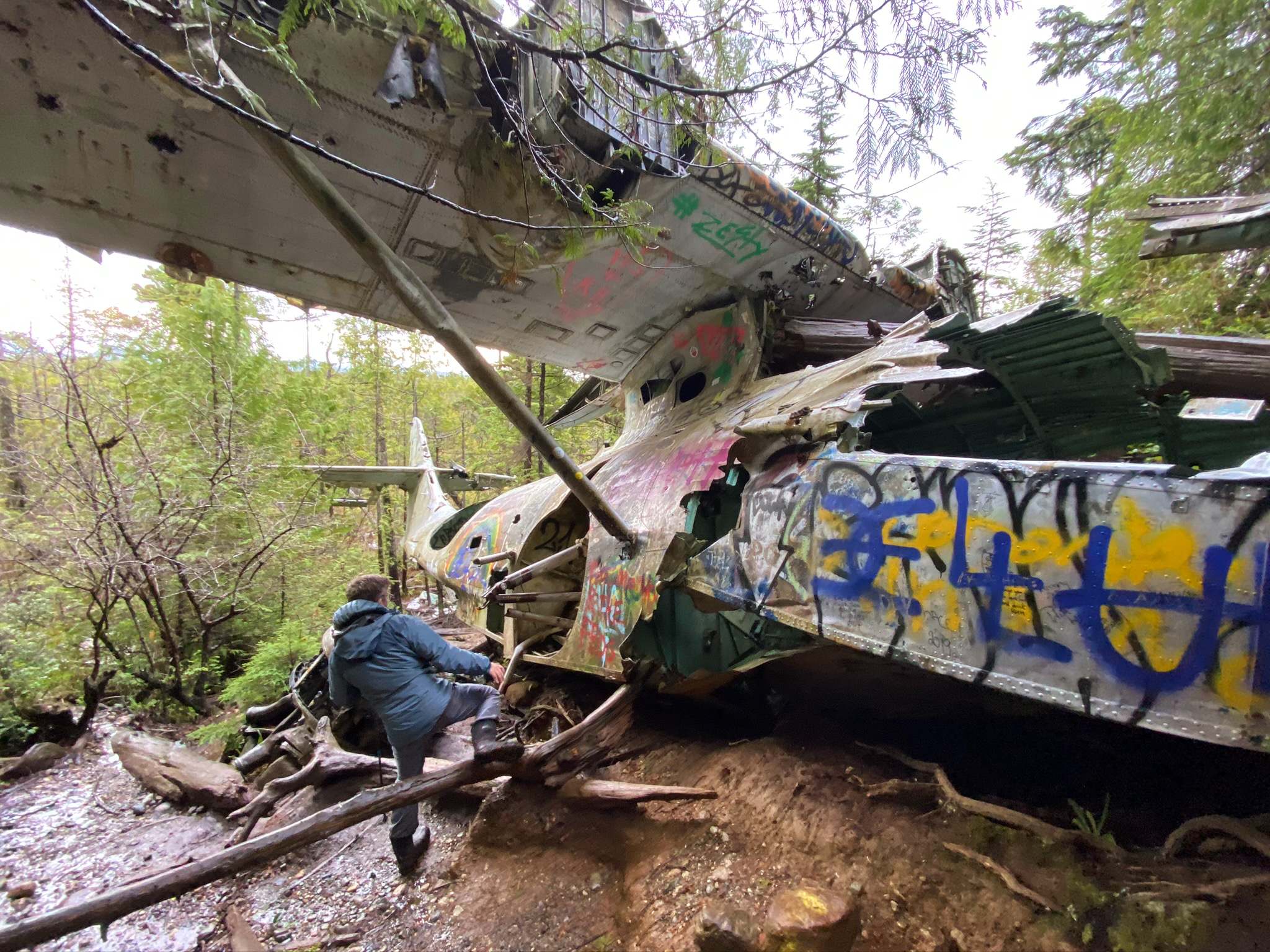
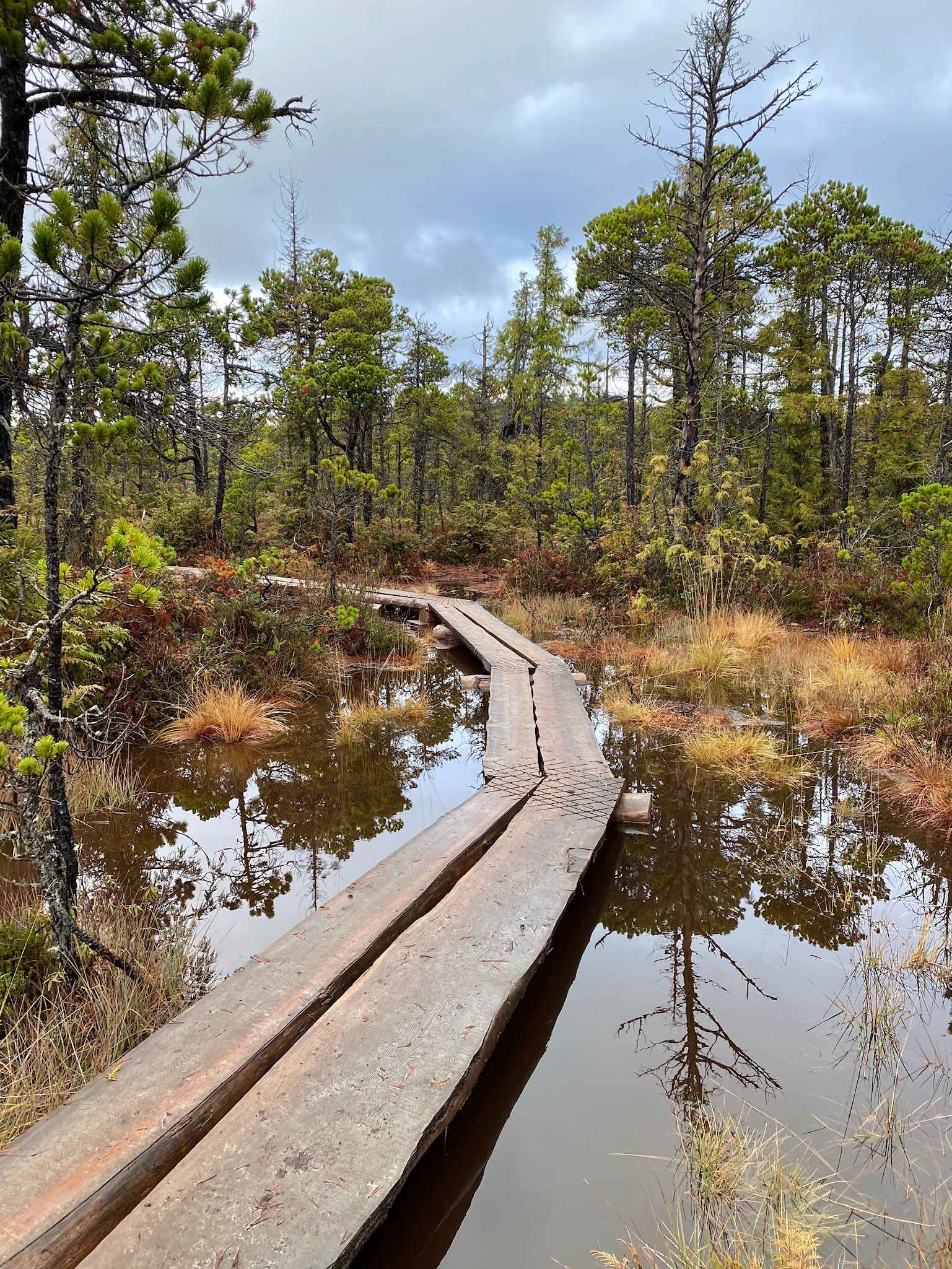
Hiking along the Canso Crash Site Trail is a fun—if muddy—way to get out and enjoy the natural beauty of the Pacific Rim National Park Reserve while combining it with a unique aspect of local history. The trail heads through the forest and ends up at the site of a plane crash on February 12, 1945. On this spot, a Royal Canadian Air Force Canso 11007 plane crashed into the forest shortly after takeoff and remains largely intact as a unique historical site. The trail itself passes through some muddy terrain, and while there are some stretches of the wooden boardwalk, it’s almost certain that your feet will get muddy along the route. Make sure to wear proper hiking footwear to keep yourself as dry as possible on the trail.
The route initially sets out from the parking lot and heads back toward the highway, where hikers will need to make their way south alongside it to reach the trailhead leading into the forest. From there, the route snakes through the forest and climbs uphill to an old radio building before descending slightly towards the crash site.
On the approach to the wrecked plane, the trail passes through a boggy area that will likely be the muddiest part of the hike. Soon enough, you will reach the remnants of the old plane and can explore the forest landscape around the wreckage. After inspecting the nearly-intact and graffiti-covered plane, head back along the same route and try to avoid getting stuck in the mud as you make your way back to the parking area.
Similar hikes to the Canso Crash Site Trail hike

Rainforest Trail
The Rainforest Trail is a 2.0mi circuit through the temperate rainforests near Tofino, BC, that will provide a…

Willowbrae Trail to Half Moon Bay
Half Moon Bay is a beautifully scenic stretch of beach near Tofino, BC, that can be accessed through a 2.6mi

Radar Beach Trail
The Radar Beach Trail is a 1.3mi out-and-back route near Tofino that sets out from the top of…


Comments