Thermal Canyon Walk
View Photos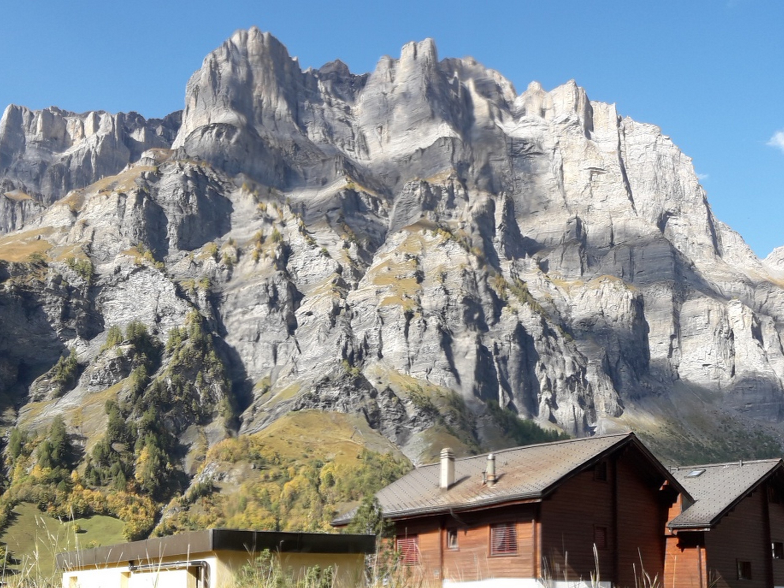
Thermal Canyon Walk
Difficulty Rating:
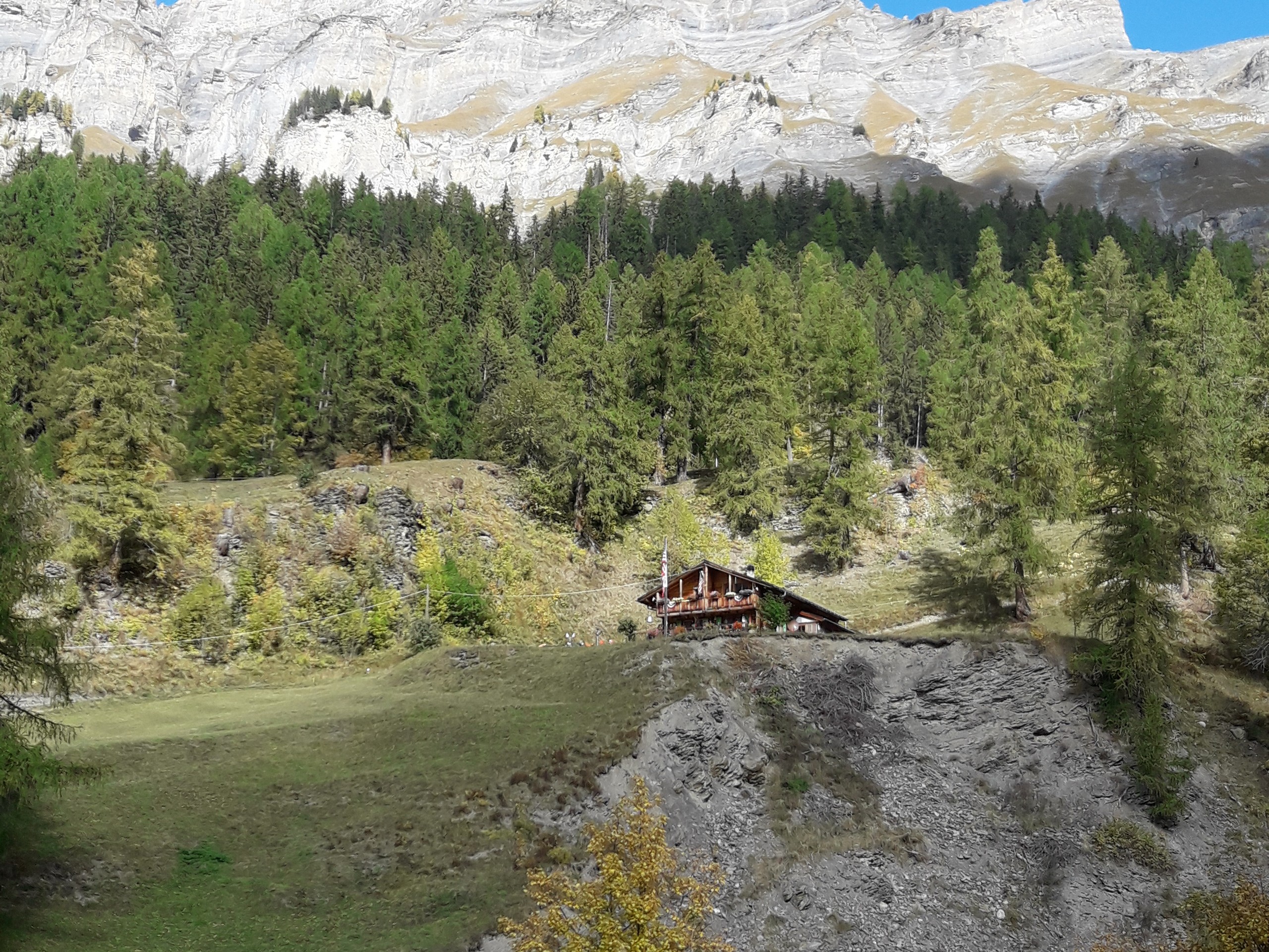
This walk is easy and takes you into the stunning Dala Gorge over the river with a waterfall to enjoy. There are a few picnic tables to rest at. On the way, you have a view of the spectacular mountain scenery that surrounds Leukerbad. Young children and adults both should be able to enjoy this hike.
Getting there
Leukerbad is in the canton of Valais. It can be reached by driving 84.5mi from Lausanne. Drive by the autoroute past Sion and Leuk, and then there is a parking facility under the Leukerbad bus station. The walk starts near the bus station/parking structure.

About
| When to do | April to October |
| Backcountry Campsites | Yes, Camping SportArena Leukerbad |
| Pets allowed | Yes - On Leash |
| Family friendly | Yes |
| Route Signage | Average |
| Crowd Levels | Moderate |
| Route Type | One Way |
Thermal Canyon Walk
Elevation Graph
Weather
Route Description for Thermal Canyon Walk
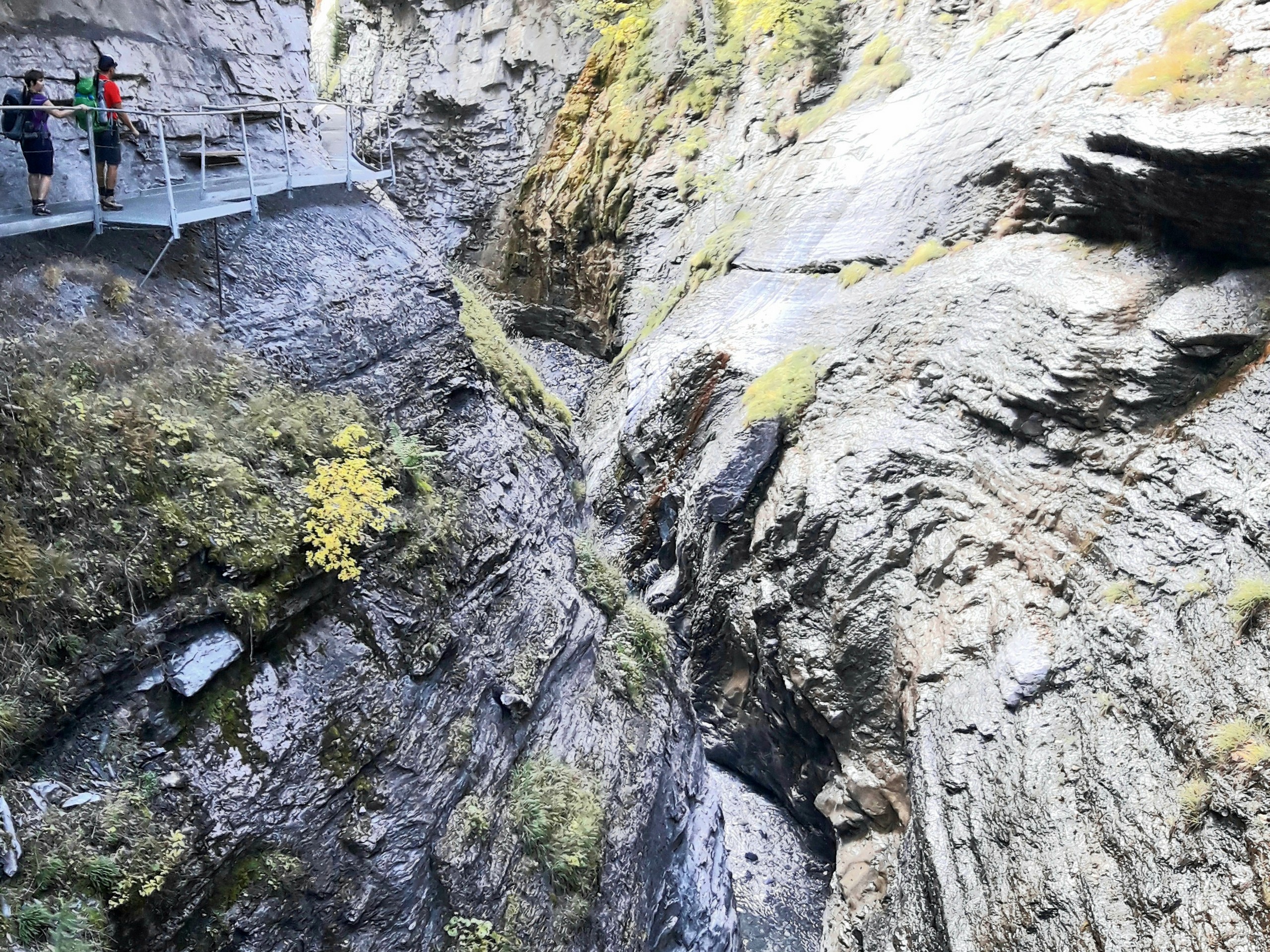
If you are coming from Geneva or Lausanne, it is best to stay overnight in Leukerbad since there are a few destinations worth enjoying in this town. This is a physically easy hike with little elevation change, but note that you will be passing over metal catwalks and steep stairs over the river, which can be hazardous for unsupervised children or pets.
The start of the hike will take you through the town of Leukerbad. Starting from the Leukerbad bus station, follow the gps track through the town heading eastward. it’s a charming town, so feel free to explore a bit before heading out.
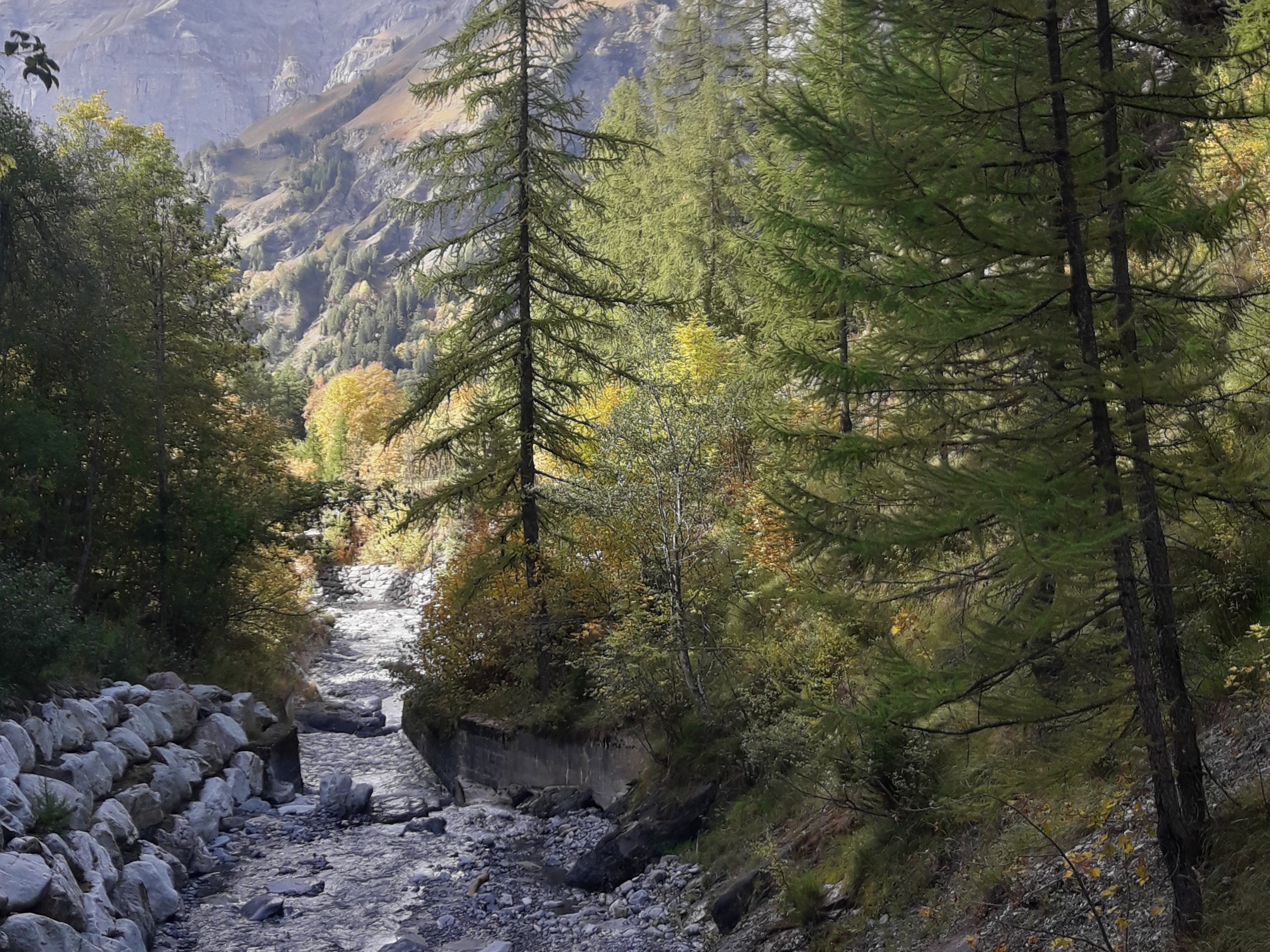
About half a kilometer into the walk, you will come across a lot with a path that leads to a curious small building – an old well where thermal water springs from. Keep following the track until it reaches a park-like area with a lot of trees about a kilometer into the hike. Here, stay close to the Dala River and follow it into the gorge.
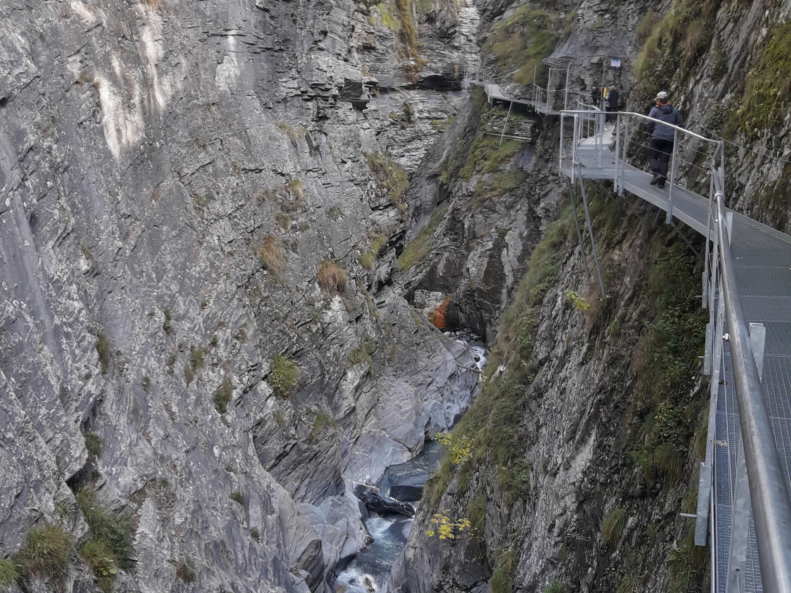
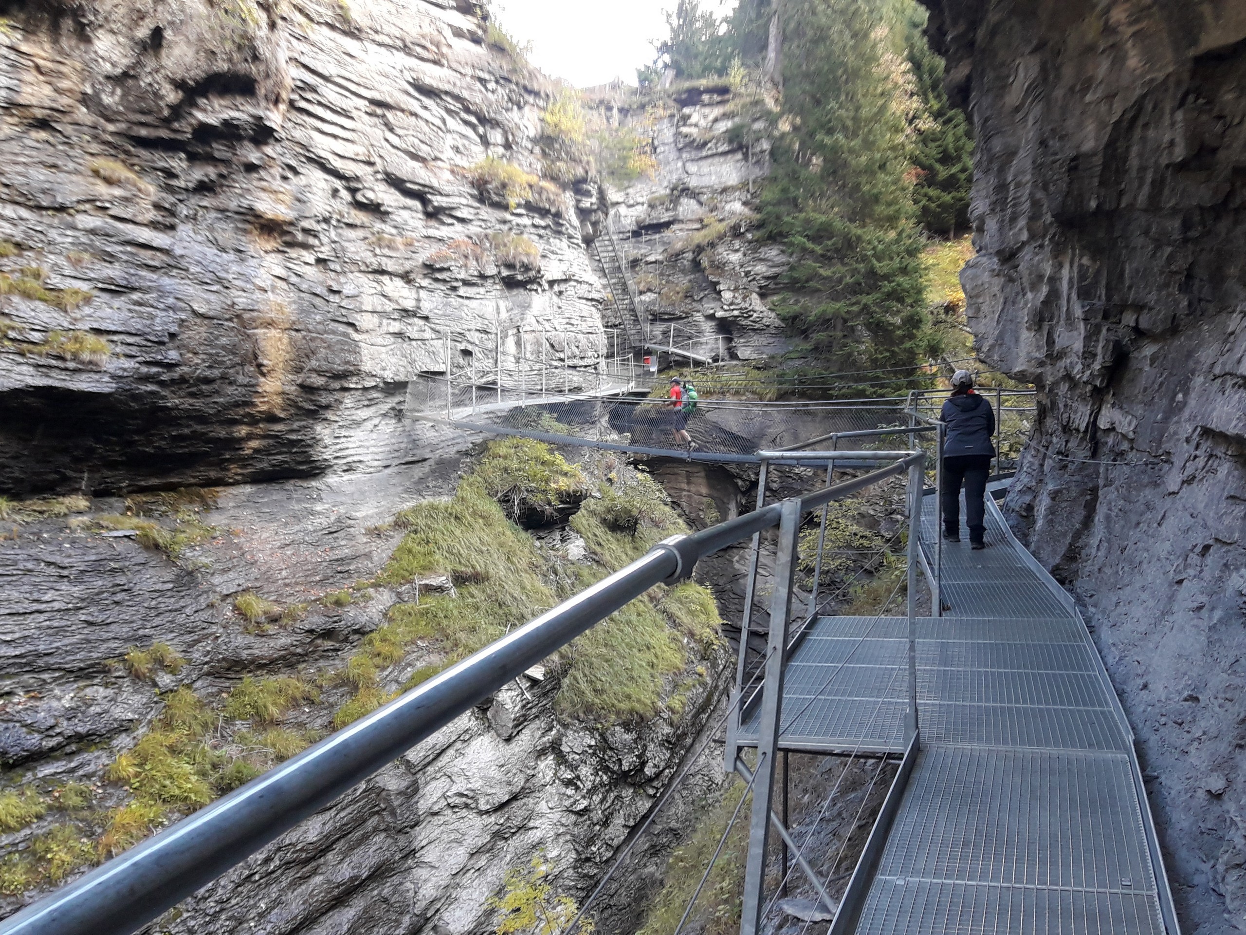
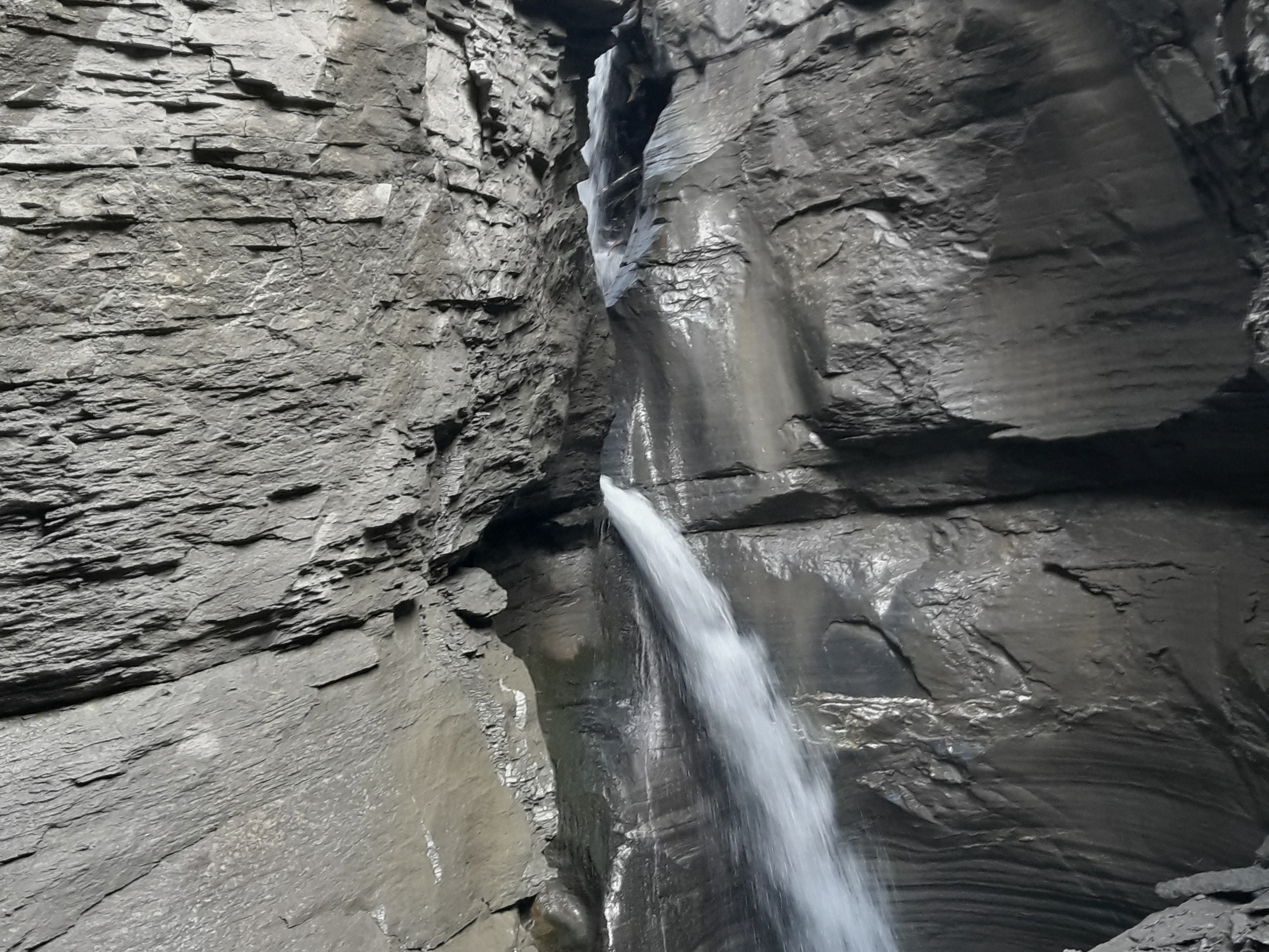
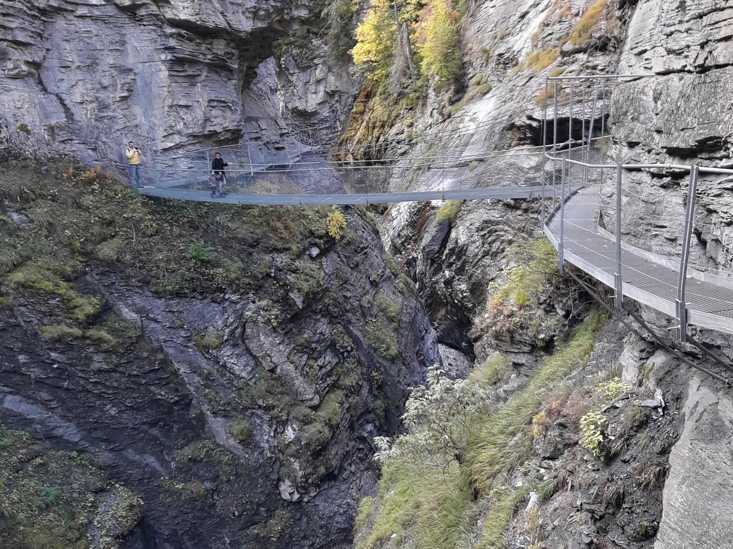
The path will lead to metal catwalks that rise up the canyon wall over the river. The steel catwalk is 600m long, and it opened in 2004. The catwalks continue to a 115ft waterfall that rushes down a very narrow part of the canyon. Stop for a photo here.
Several flights of stairs take you up to a trail over the gorge, and a short foot bridge takes you to the other side of the canyon to a grassy area with some picnic tables.
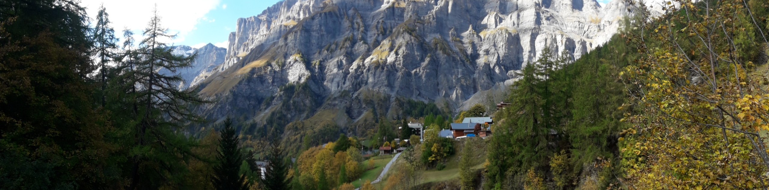
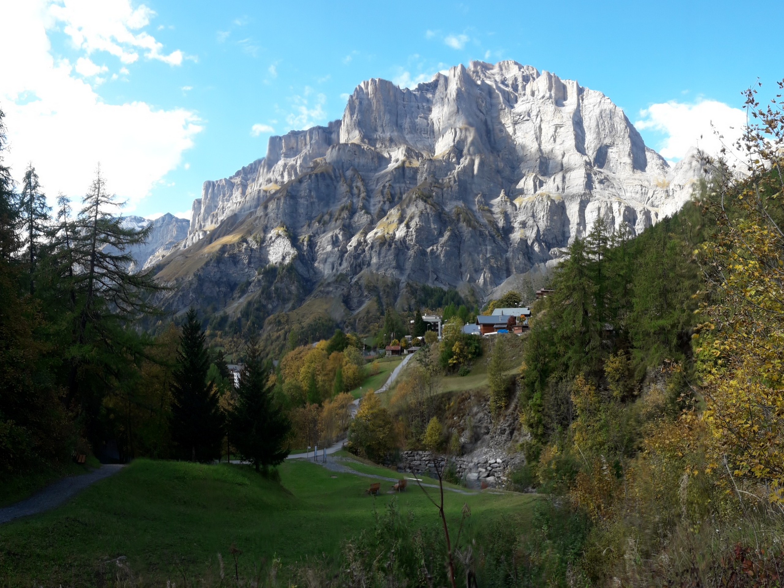
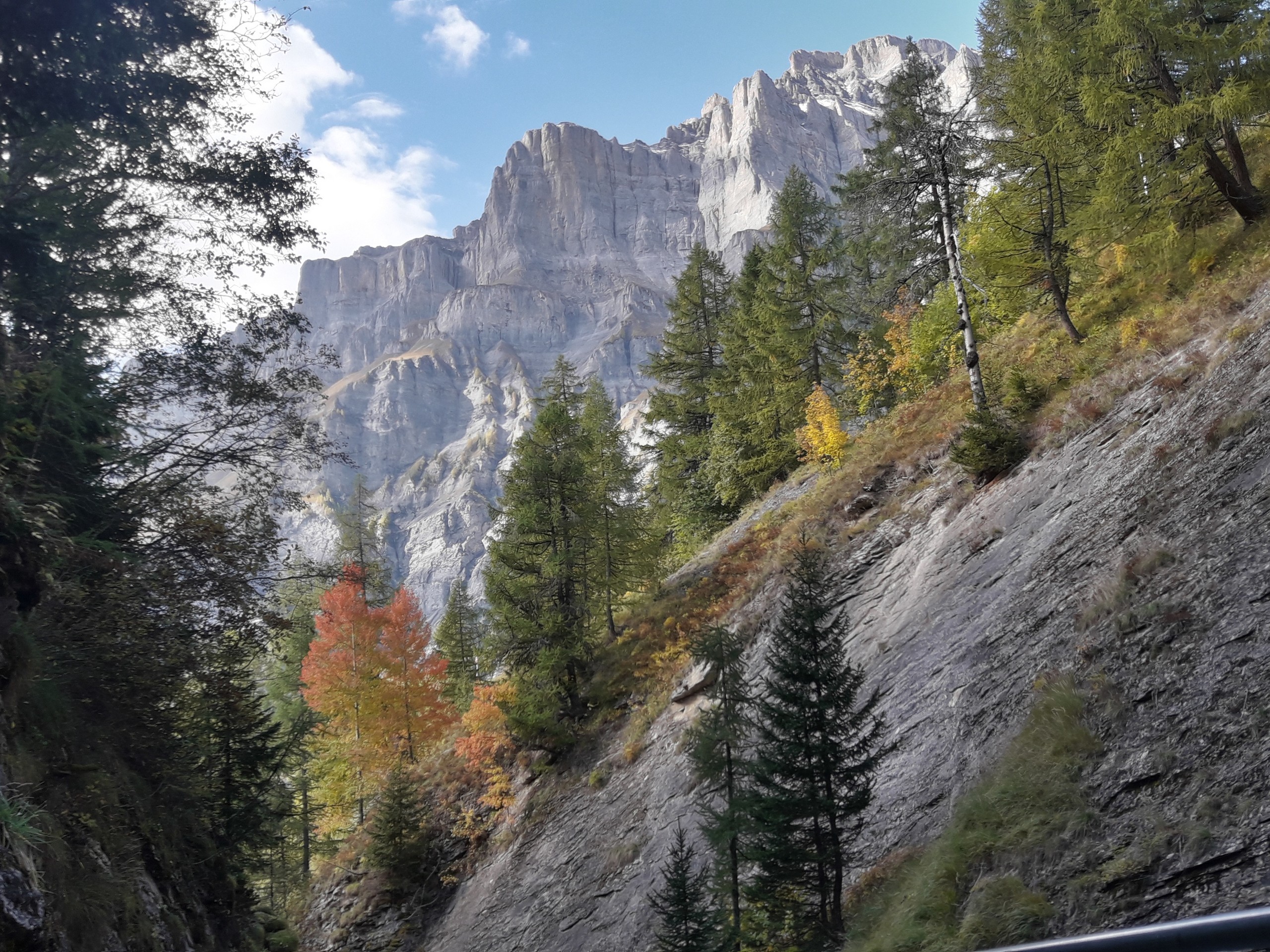
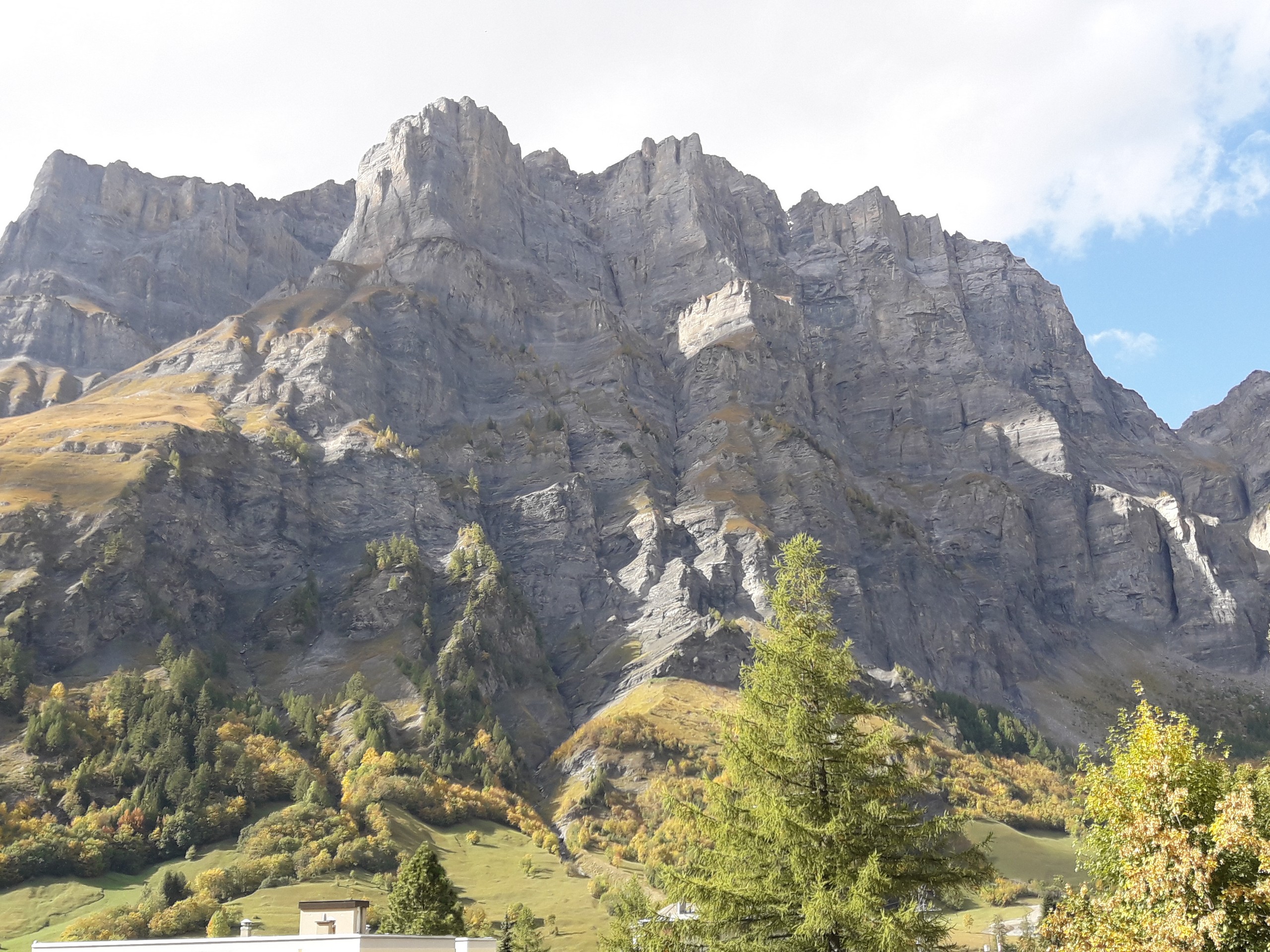
From here, a trail leads back to town in an easy descent. Along the route you will see the mountains guarding Leukerbad to the north- Leeshorner (9757ft), Daubenhorn (9649ft), and Grosses Platenhorn (9367ft).
Insider Hints
On the way back to town you can eat at any of the numerous restaurants. Gilji’s Takeaway serves excellent burgers.
If you like downhill biking, there is the nearby Leukerbad Bikepark to try.
If you want a more strenuous hike, you can take the lift to Daubensee.
Camping facilities are available at Camping SportArena Leukerbad.
Leukerbad is known for its thermal spas, and you can find several in town for a soak after your hike.
Similar hikes to the Thermal Canyon Walk hike
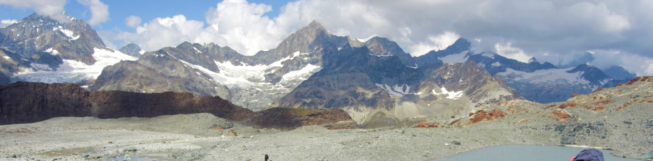
Matterhorn Glacier Trail
The Matterhorn Glacier Trail (Nr. 26) takes you close to the Furgg Glacier and right beside the east flank of…
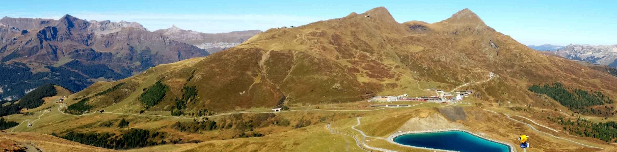
Eiger Trail
The Eiger Trail skirts the north face of one of the most iconic mountains in Europe. The hike is relatively…
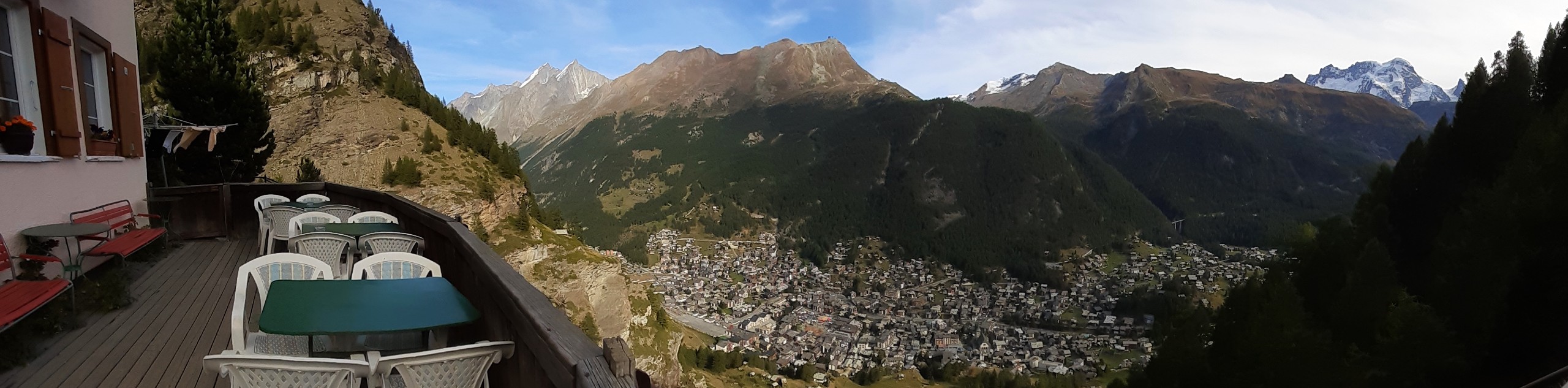
Edelweiss Refuge Loop
Zermatt is an area strewn with hiking trails that intersect on well signposted routes. This hike can be altered depending…
Comments