Pizzo della Casa
View Photos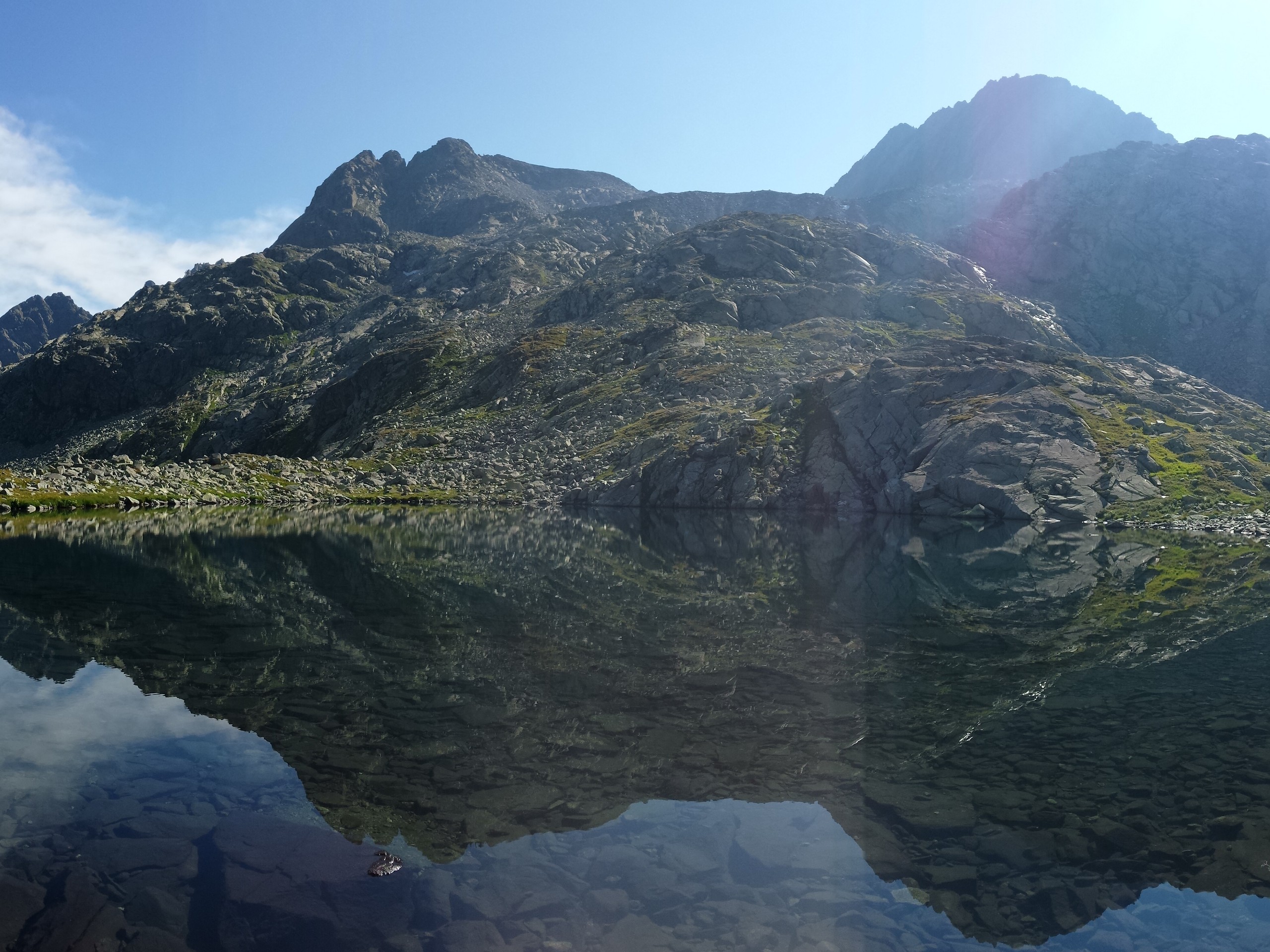
Pizzo della Casa
Difficulty Rating:
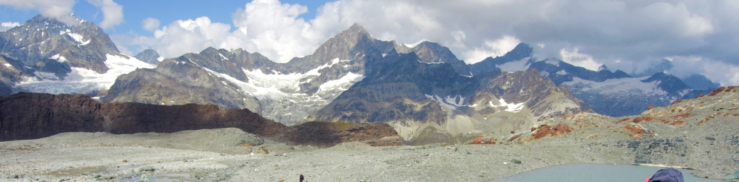
This is a challenging hike that starts out in Switzerland, crosses the border to Italy, passes two alpine lakes, descends to lake Montespluga, then loops back to the border. The views from the trail facing both Switzerland and Italy are superb. Lunch in a restaurant at the Italian side is a great treat before you head back to the pass.
Getting there
This hike starts at Splugen Pass at the border between Switzerland and Italy. It is best to base yourself at the village of Splugen and drive the 5.4mi to the border before your hike. Splugen is in the municipality of Rheinwald in the canton of Graubunden. To reach Splugen, you can drive 104.4mi from Zurich via the A3W.

About
| When to do | June to October |
| Backcountry Campsites | No |
| Pets allowed | Yes |
| Family friendly | Older Children only |
| Route Signage | Poor |
| Crowd Levels | Low |
| Route Type | Circuit |
Pizzo della Casa
Elevation Graph
Weather
Route Description for Pizzo della Casa
The start of the hike is at the Splugen Pass border to Italy. Park your car about 656ft from the border crossing to Italy. This trail gets very rocky, so good footwear is a must. Remember to bring euros if you want to eat at a restaurant on the Italian side.
The trail is hard to navigate without GPS as some of the painted trail signs are hard to see among the rocks. Keep an eye on your track to stay on-trail. Although dogs are allowed, we don’t recommend bringing them as the rocky path can be sharp at times.
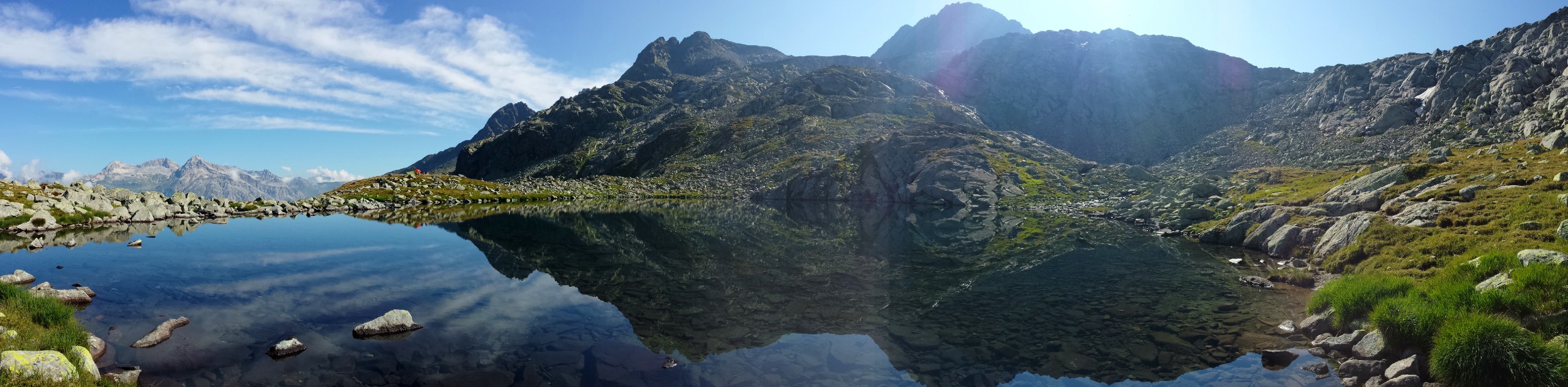
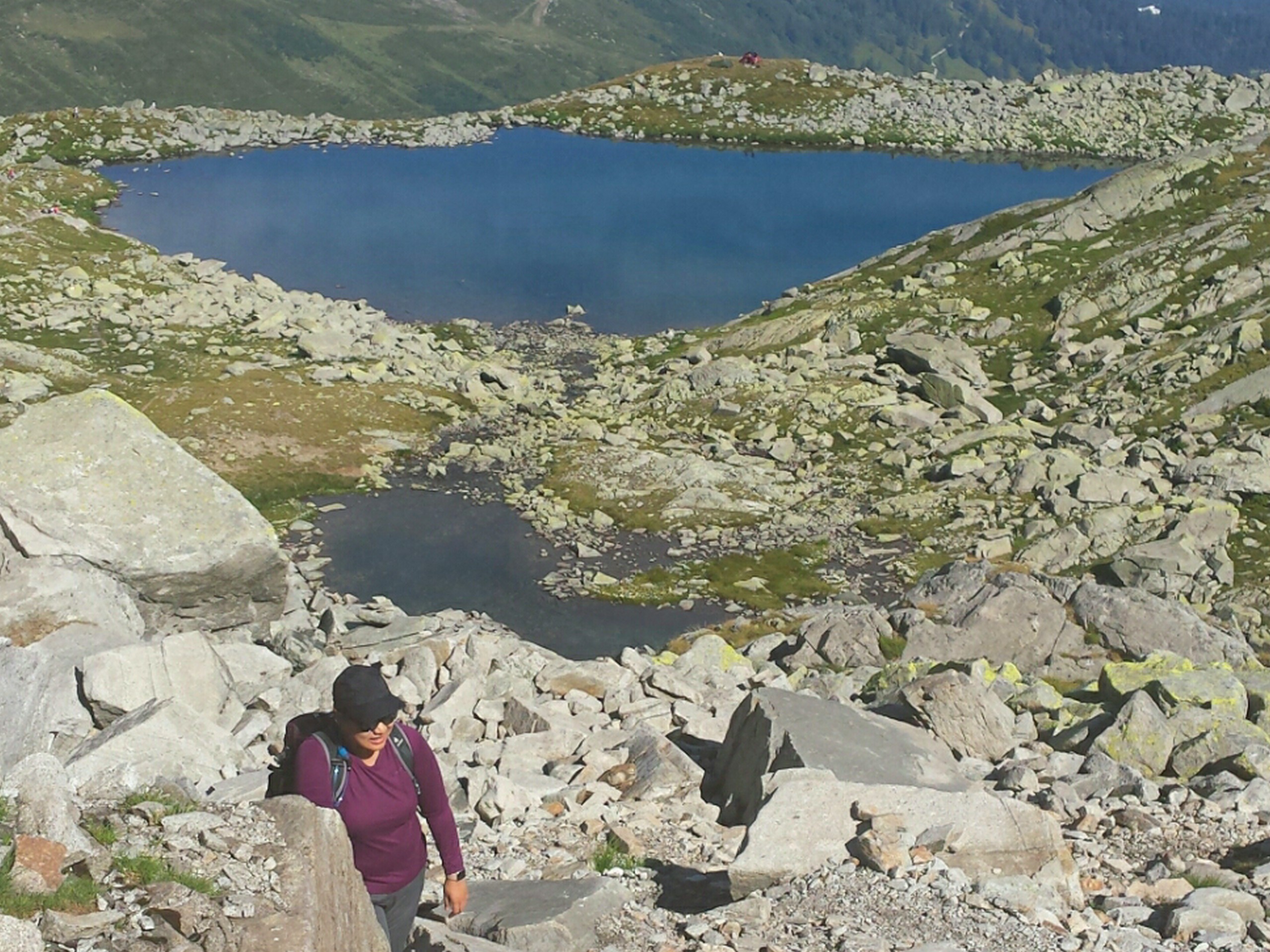
From the parking lot, follow the GPS track to the start of the trail (6946ft). The trail starts on the Swiss side of the border and ascends the side of Montespluga. After 1 km you will arrive at the first alpine lake, Burgseeli (7582ft). About1.0mi from the start, you will hit the highest point of the hike at 7999ft where the trail crosses into Italy.
Right after the highest point is the larger second lake, Lago Azzurro (7972ft). The trail will hug the side of the lake and then descend southward. You will see Lago di Montespluga in the distance to the south. The trail gets very rocky and the trail signs painted on the rocks can get difficult to spot here. If you lose sight of the trail signs, reference your GPS to stick to the trail.
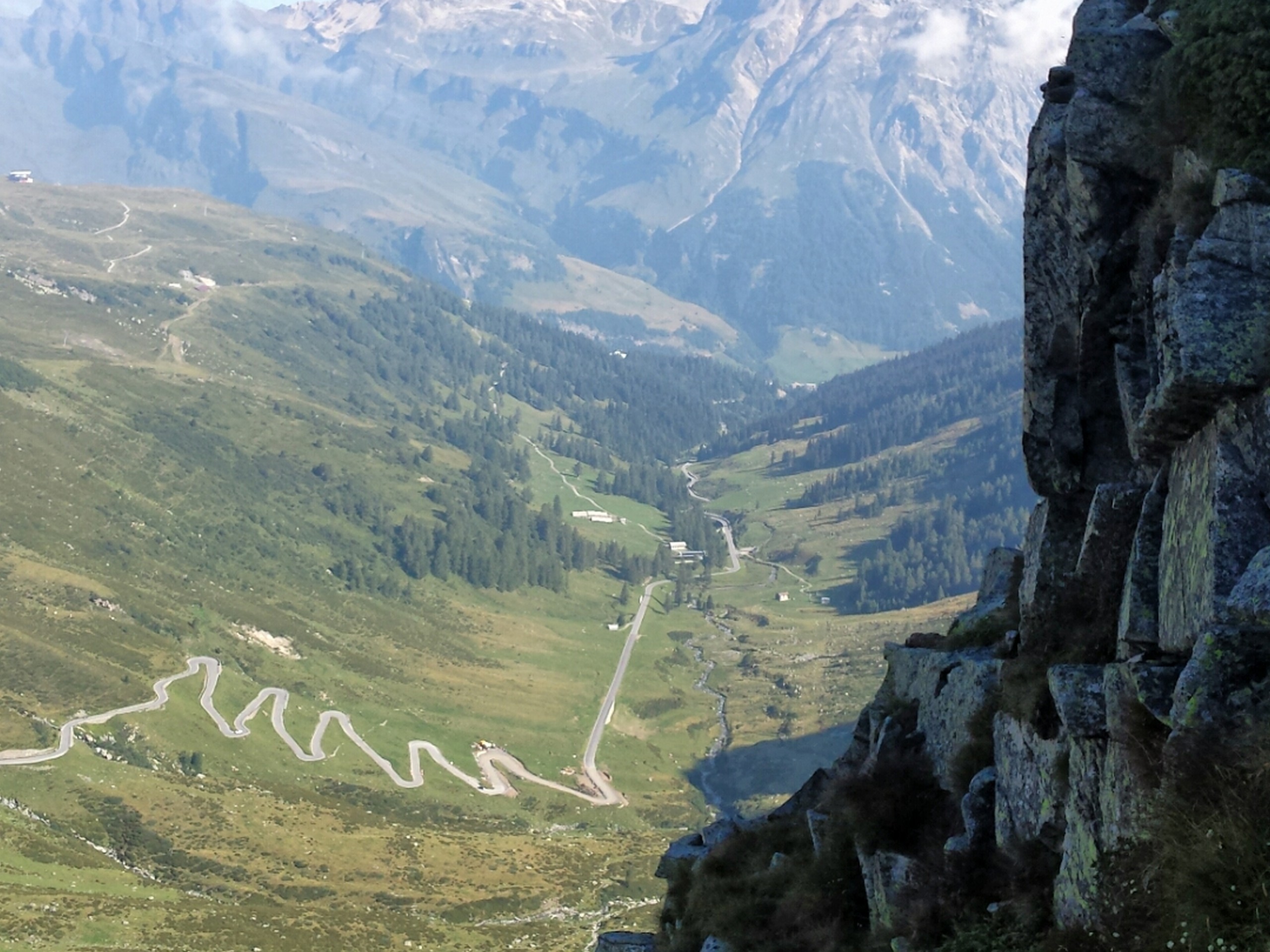
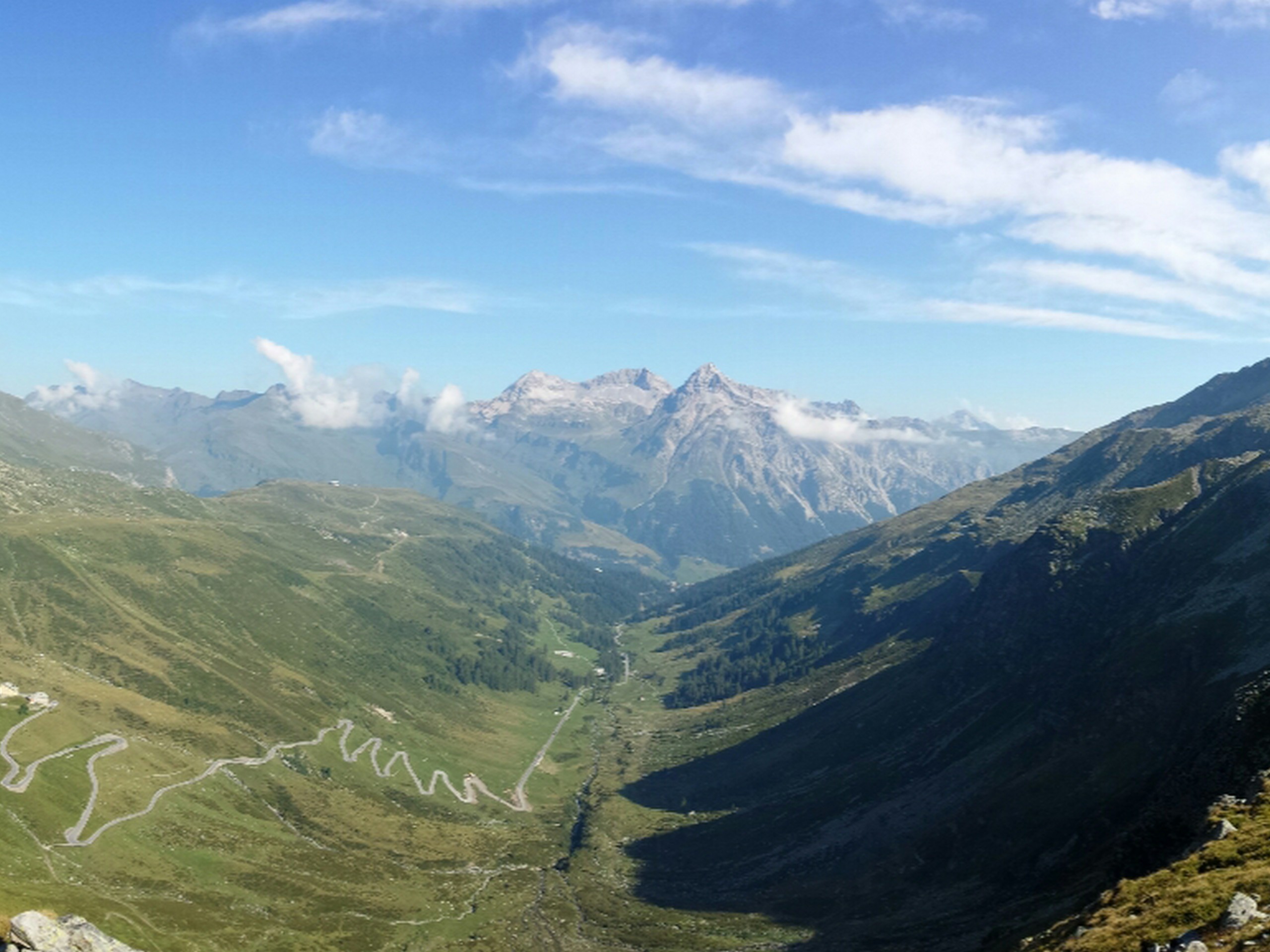
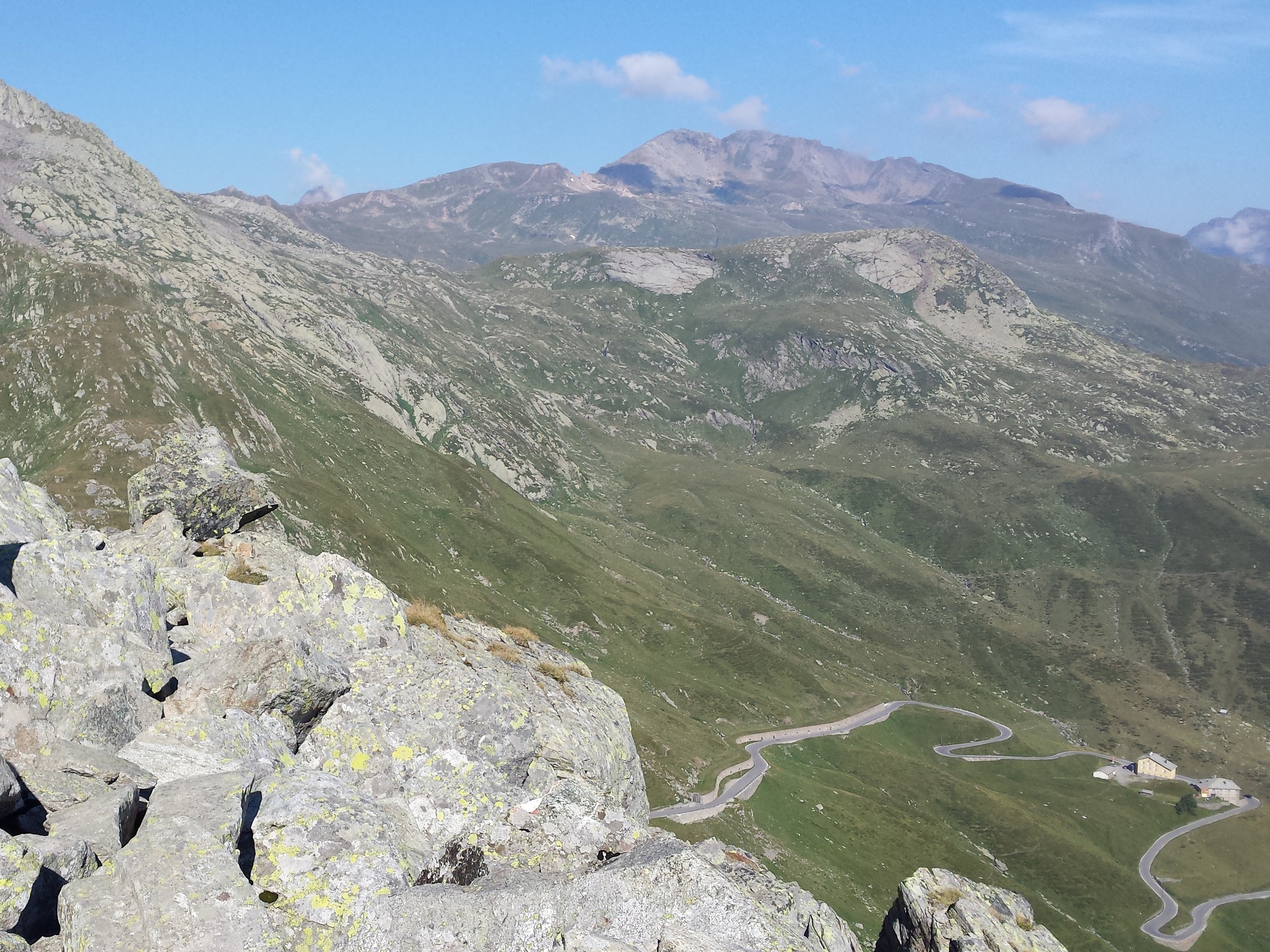
The trail will eventually hit a road at the base of the mountain. Turn right and walk along the road until you reach the village of Montespluga (6263ft) about 2.8mi from the start of the hike. There are restaurants in Montespluga, La Capriata, right by the lake lake that serve good pizza and pasta 9perfect hiking fuel!).
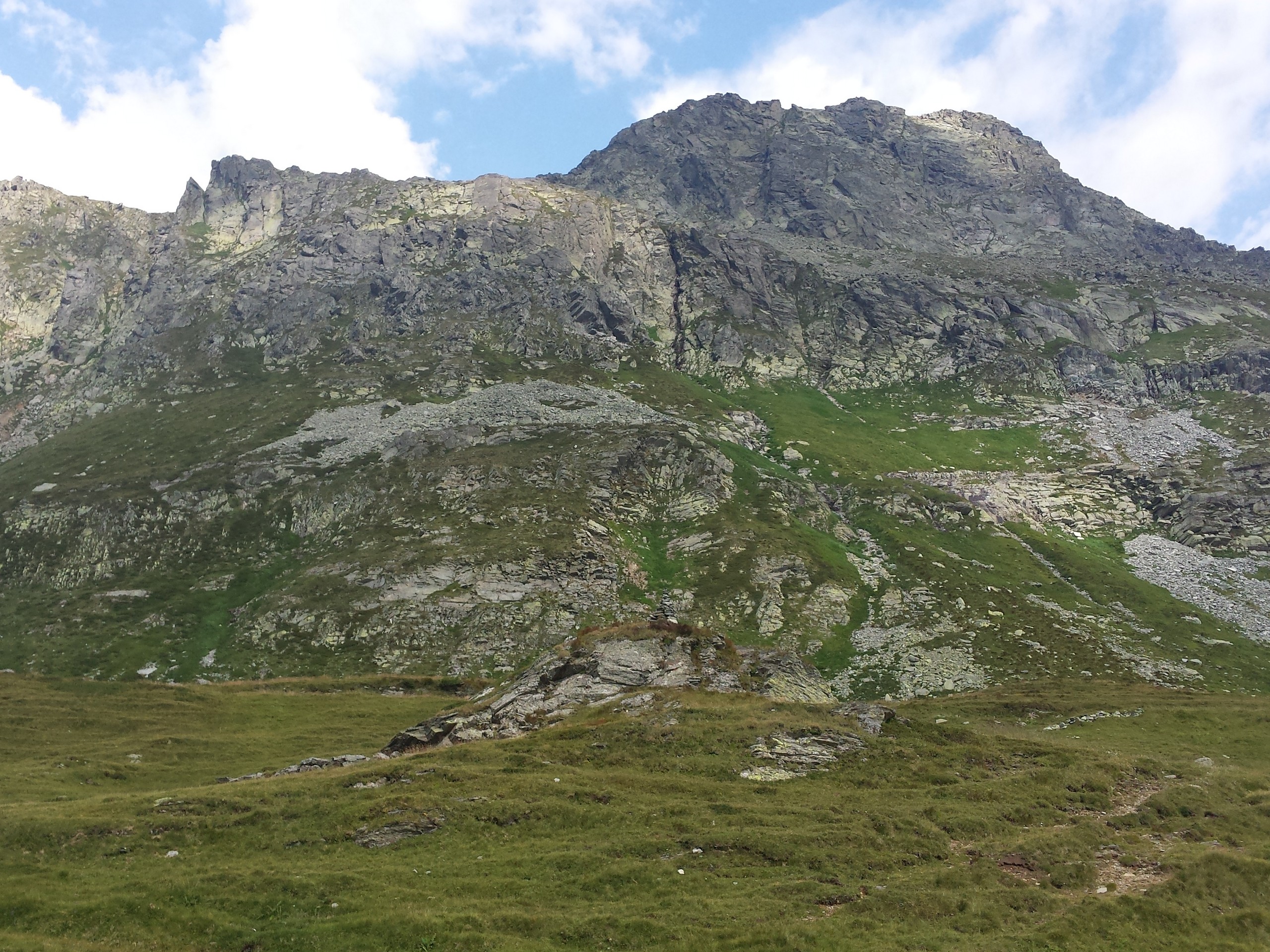
From Montespluga village, follow the GPS track to find the trail that ascends northward on the left side of the road. As you ascend back to the Swiss border, you will have a view of Pizzo della Casa (8278ft) to the east. About 4.0mi from the start of the hike, the trail will cross the road and continue on the right side of the road northward to the Swiss border.
If you want a less strenuous hike, you can turn around after you hit the first or second alpine lake. If you want a more challenging hike, you can reverse the route which will mean scrambling up the rockiest part of the trail.
Insider Hints
This is a great birdwatching trail, so bring binoculars if you’re inclined.
Bring your passports just in case, as you’ll be crossing the border back and forth.
Similar hikes to the Pizzo della Casa hike
Matterhorn Glacier Trail
The Matterhorn Glacier Trail (Nr. 26) takes you close to the Furgg Glacier and right beside the east flank of…
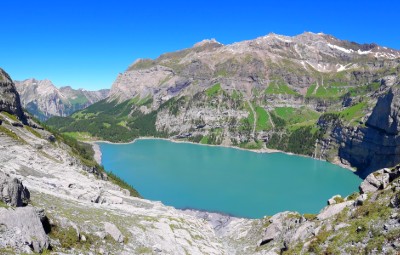
Fründen Hut
The Fründen Hut hike will take you around and above Lake Oeschinen, perhaps the most beautiful high-altitude lake in Switzerland
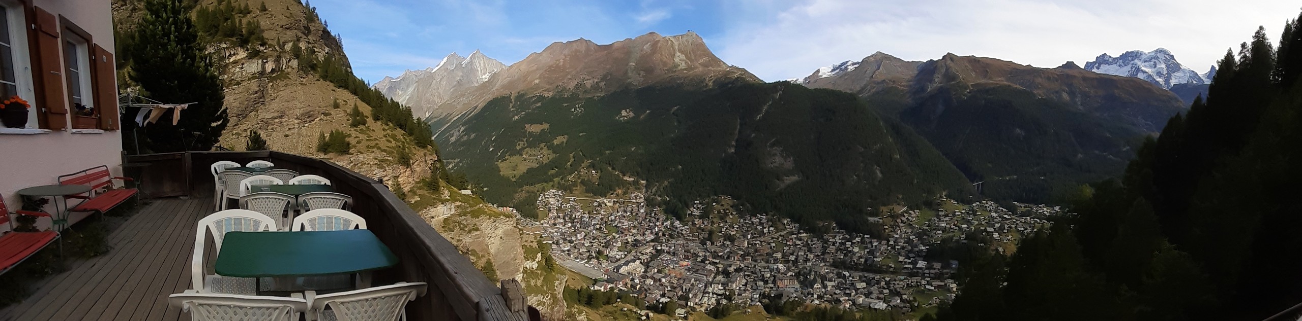
Edelweiss Refuge Loop
Zermatt is an area strewn with hiking trails that intersect on well signposted routes. This hike can be altered depending…
Comments