Pierre Avoi
View Photos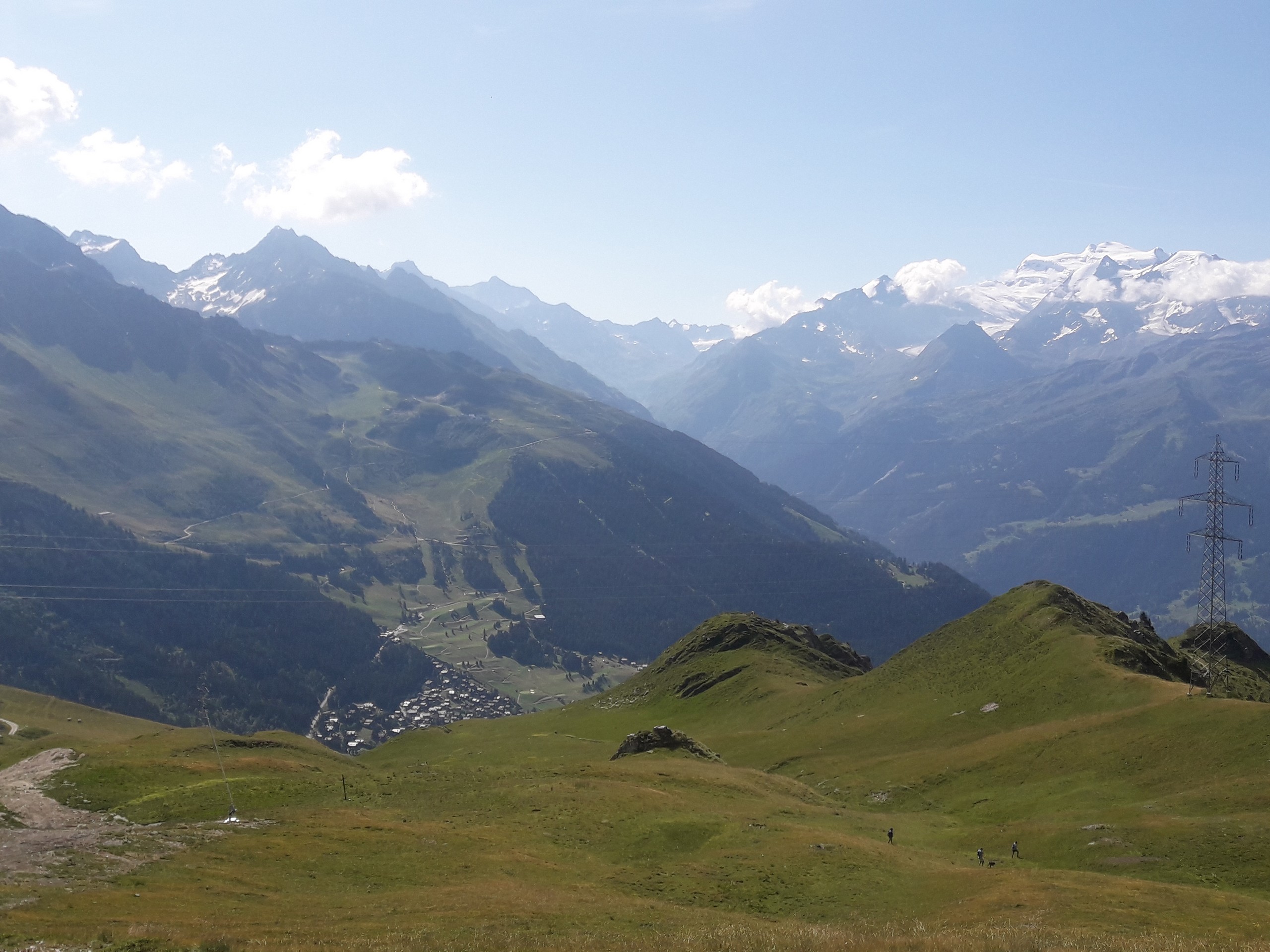
Pierre Avoi
Difficulty Rating:
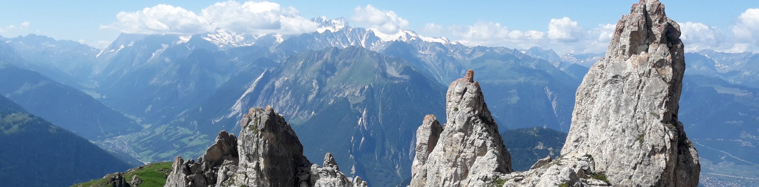
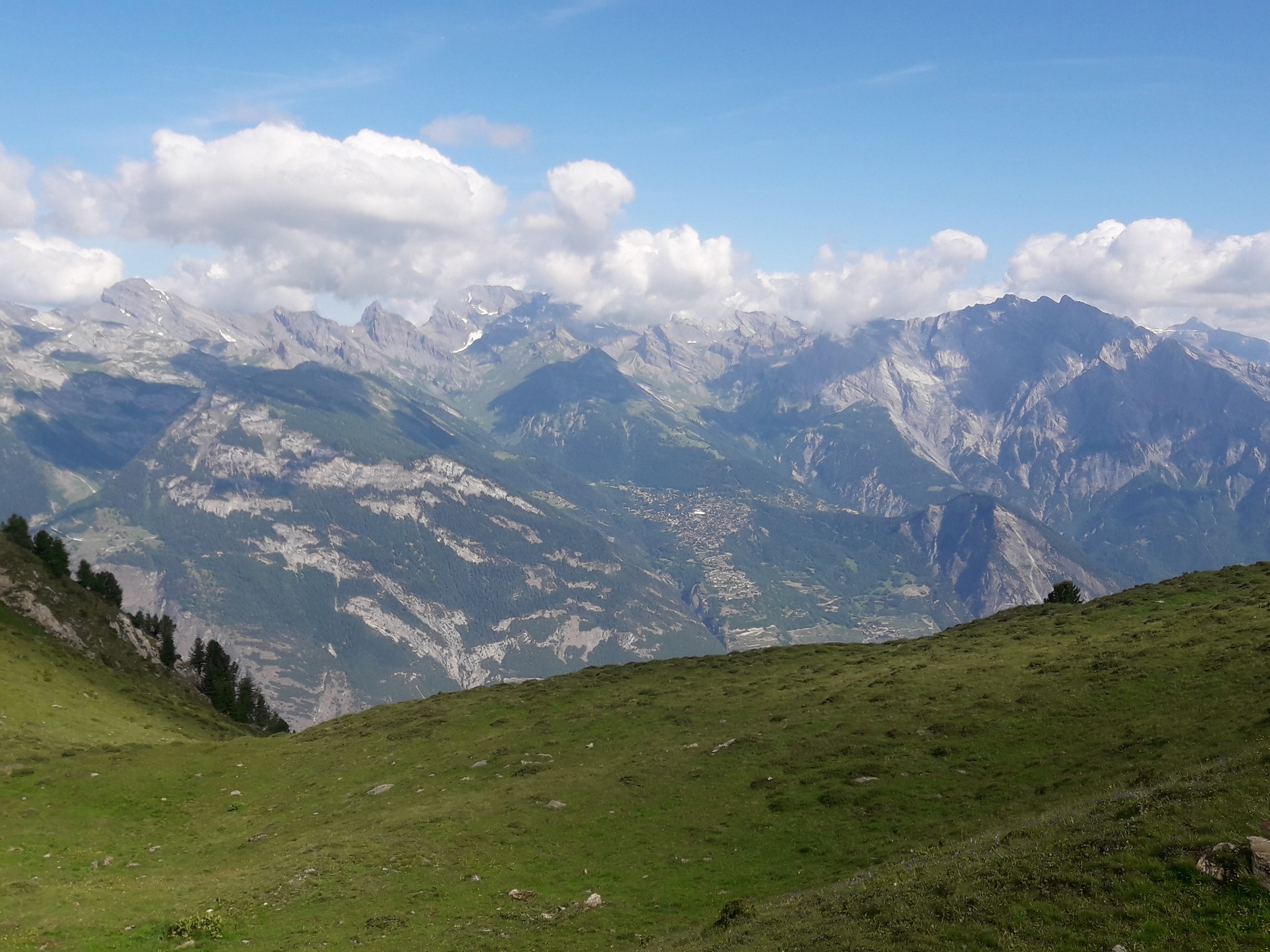
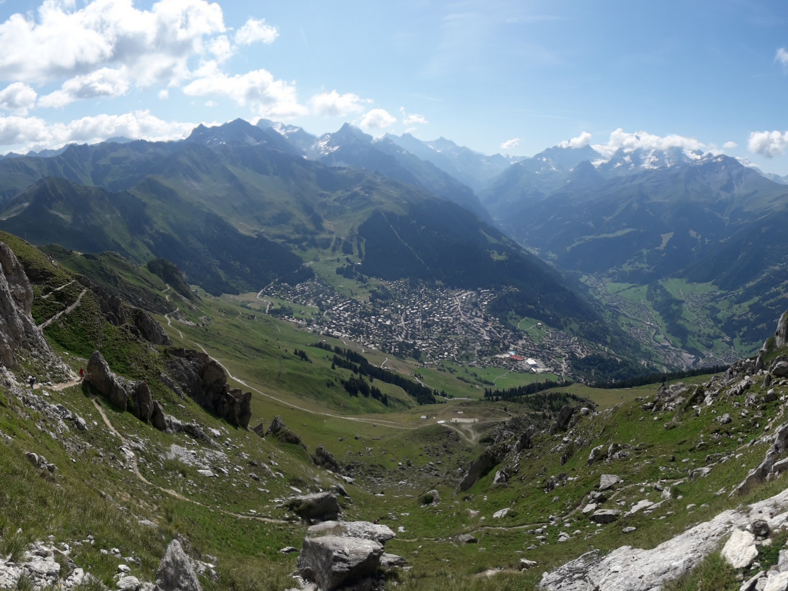
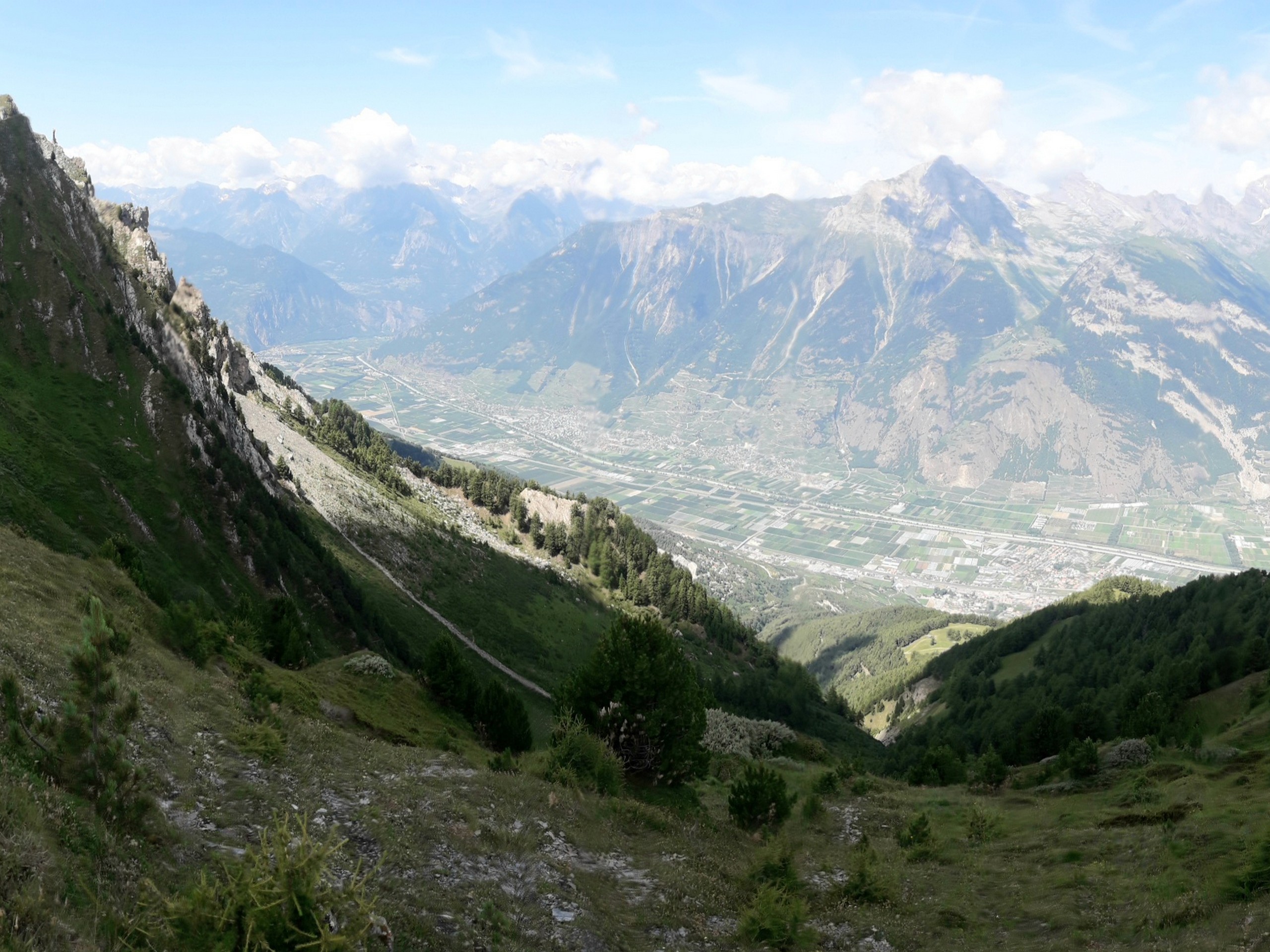
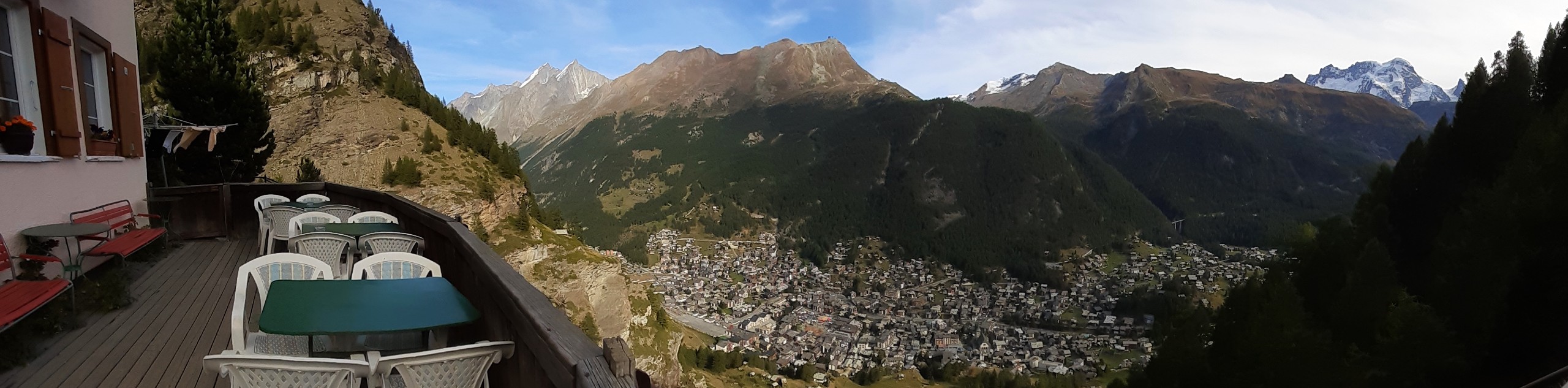
Pierre Avoi is a mountain near the village of Verbier, located in the canton of Valais. Hiking to the summit is quite short but has steep ascents that reward you with great views of surrounding mountains in every direction.
Getting there
The trail head can be accessed via lifts from either La Tzoumaz or Les Creux, Verbier. Starting from the city of Martigny, take a train to Riddes, then take a cable car to Iserables, then take a bus to La Tzoumaz telecabine (1 hour). To go there via Les Creux, take a train from Martigny to Le Chable, then a bus to Verbier Pra Michau, and walk 20 minutes to the Les Creux (Savoleyres) lift station (1 hour). Both lifts ascend to a common upper station that serves as your starting point for the hike. Traveling by car to La Tzoumaz takes 1 hour and 20 minutes from Lausanne.

About
| When to do | June to September |
| Backcountry Campsites | No |
| Pets allowed | No |
| Family friendly | Older Children only |
| Crowd Levels | Moderate |
| Route Signage | Good |
Pierre Avoi
Elevation Graph
Weather
Route Description for Pierre Avoi
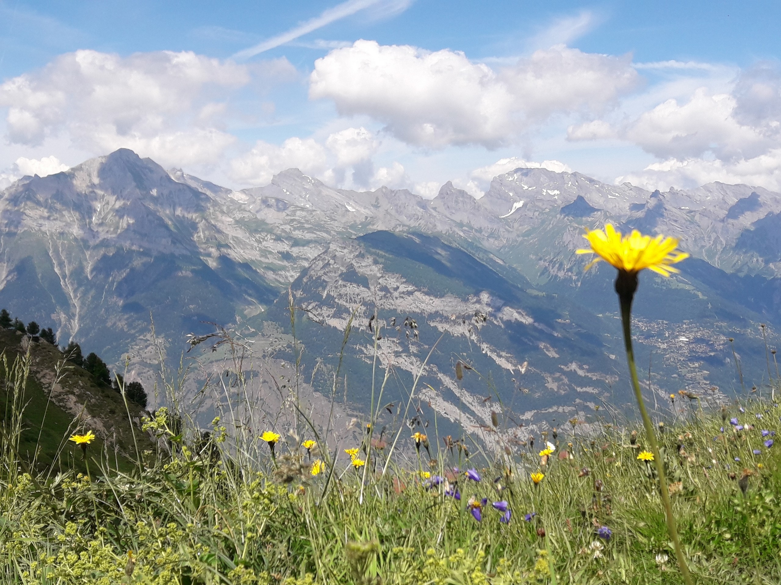
The Pierre Avoi hike starts out on easy terrain, but ascends steeply to the summit of Pierre Avoi. Parts of the hike are on steep rocky trail, so sturdy shoes are best.
Take the lift from either La Tzoumaz or Le Creux to the Savoleyres upper station (7651ft). The cost of the lift pass varies depending on the season and type of pass so check with the 4Valees.ch website before heading up. Take note of the lift operating hours which may change- you’ll want to be down in plenty of time to catch the last lift down.
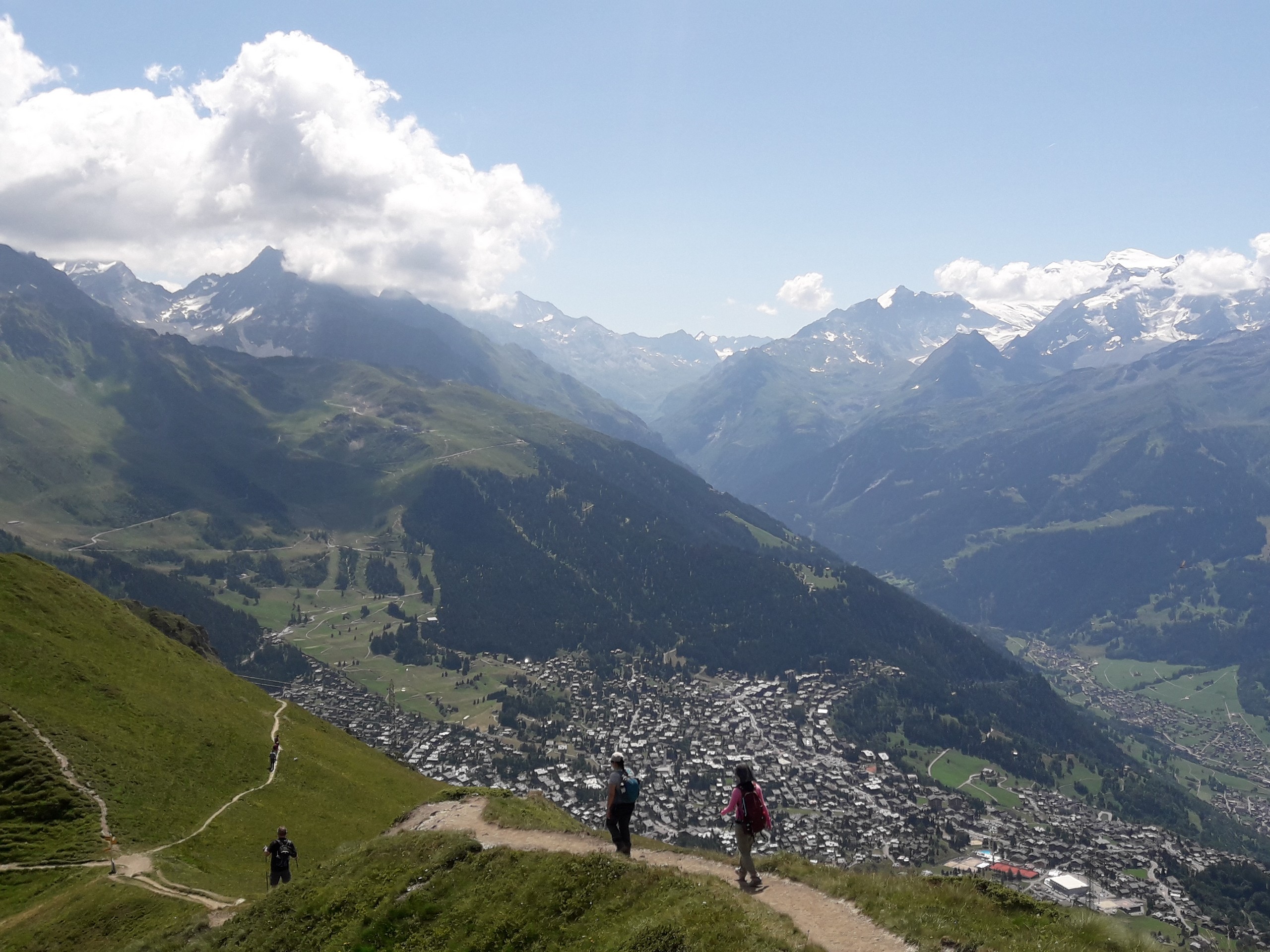
Start the hike by following a trail from Savoleyres going west along the ridge. You will be passing under a power pylon if you’re headed in the right direction.
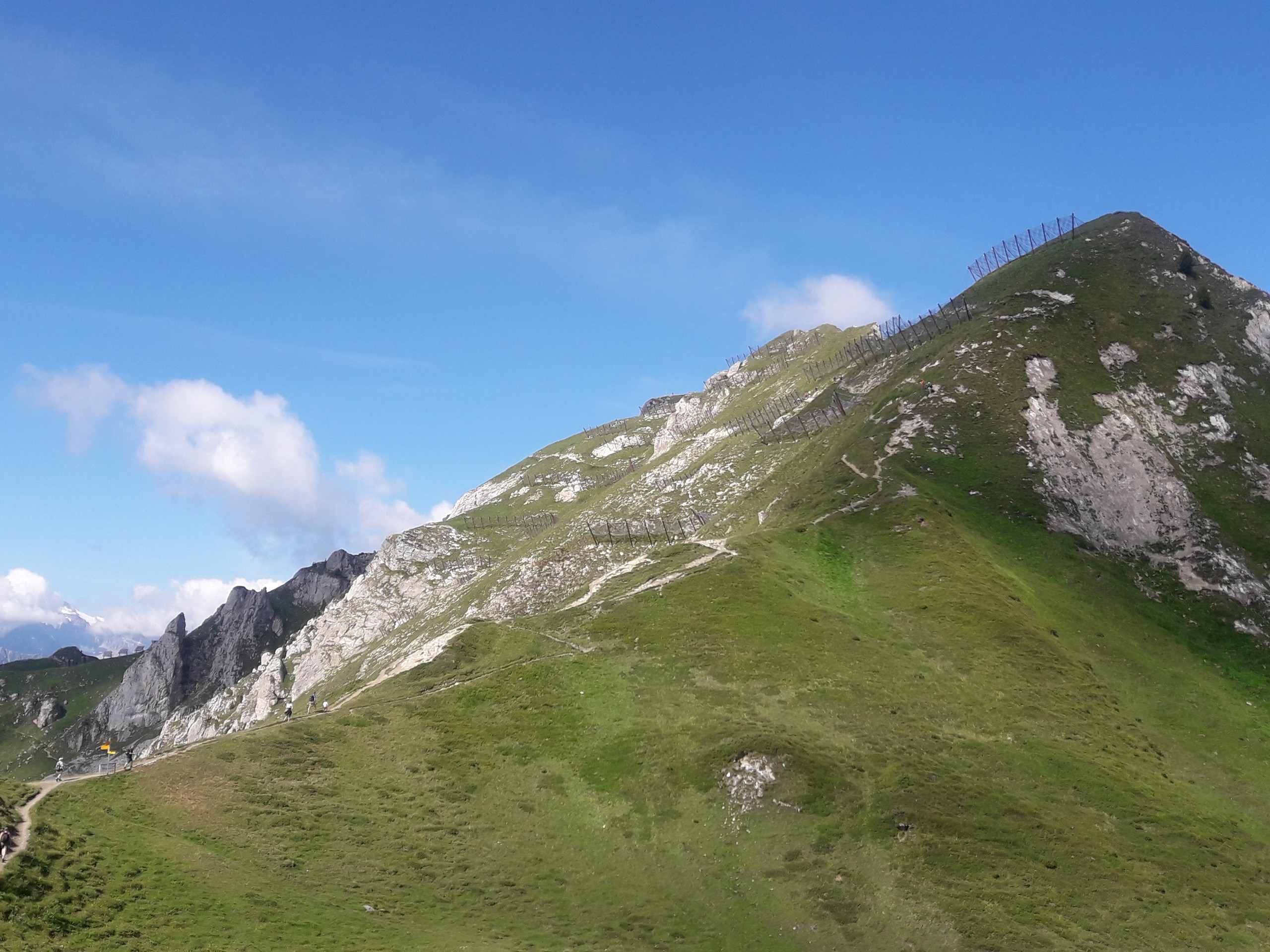
The trail continues west on rolling terrain until it starts to climb near some anti-avalanche fencing. Past the avalanche fencing, the trail climbs a steep, rocky portion with some ladders installed to help you reach the summit. Take care here.
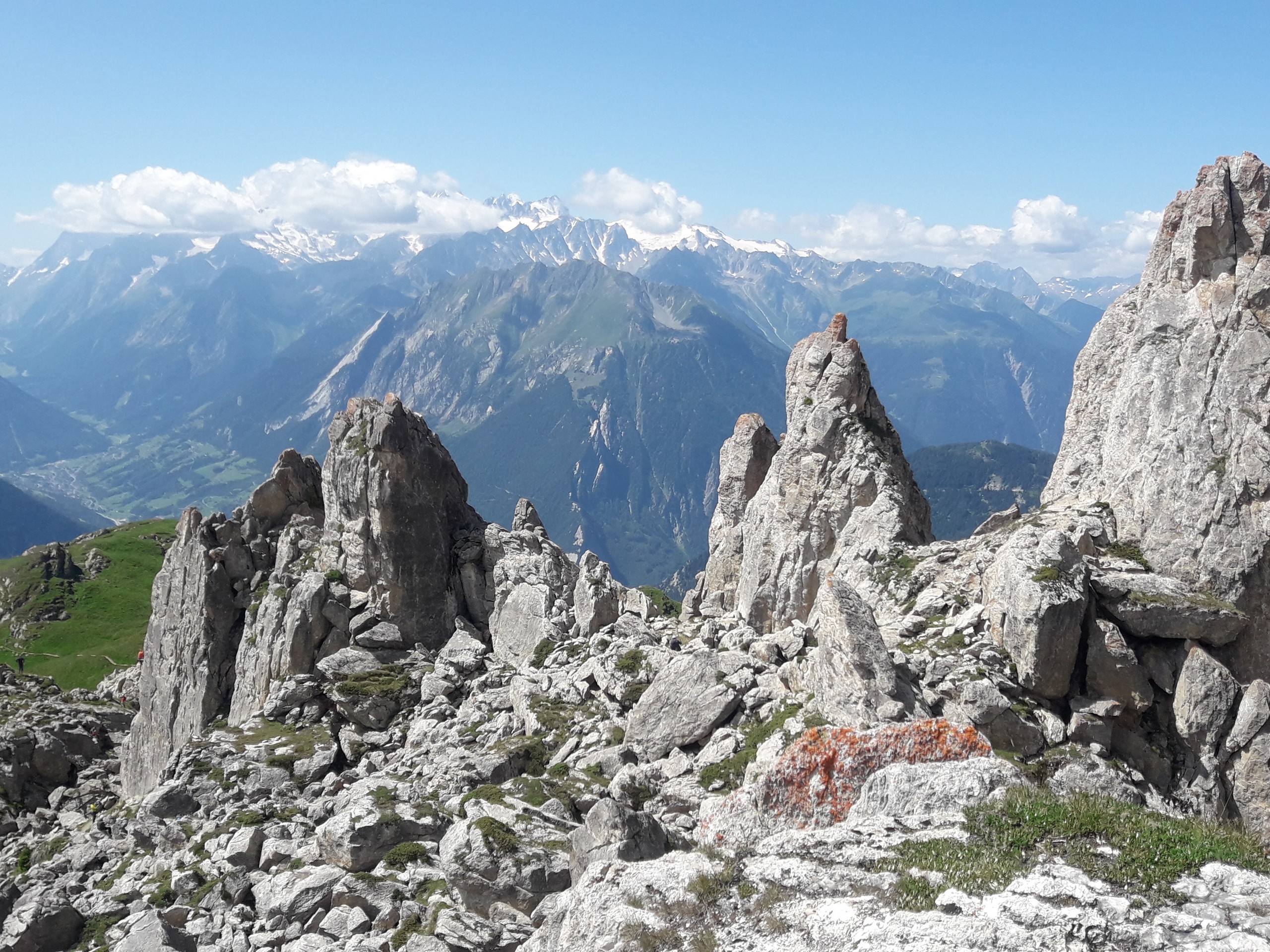
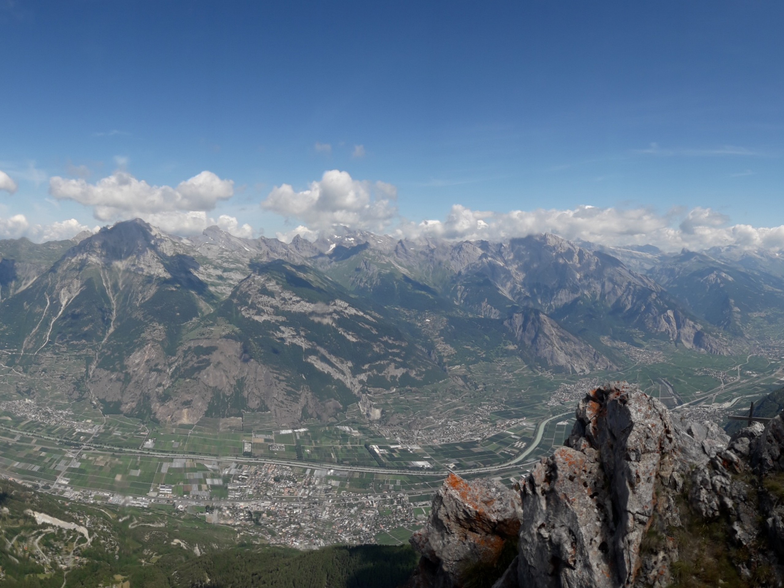
The summit is a long, narrow area with a large cross, and the views are astounding.
Return to the lift station the same way you came.
Insider Hints
If you have a day pass for the lifts, you can walk an easy path 5km east to the Les Ruinettes lift station and descend on the lift to Verbier.
Similar hikes to the Pierre Avoi hike
Matterhorn Glacier Trail
The Matterhorn Glacier Trail (Nr. 26) takes you close to the Furgg Glacier and right beside the east flank of…
Eiger Trail
The Eiger Trail skirts the north face of one of the most iconic mountains in Europe. The hike is relatively…
Edelweiss Refuge Loop
Zermatt is an area strewn with hiking trails that intersect on well signposted routes. This hike can be altered depending…
Comments