Matterhorn Glacier Trail
View Photos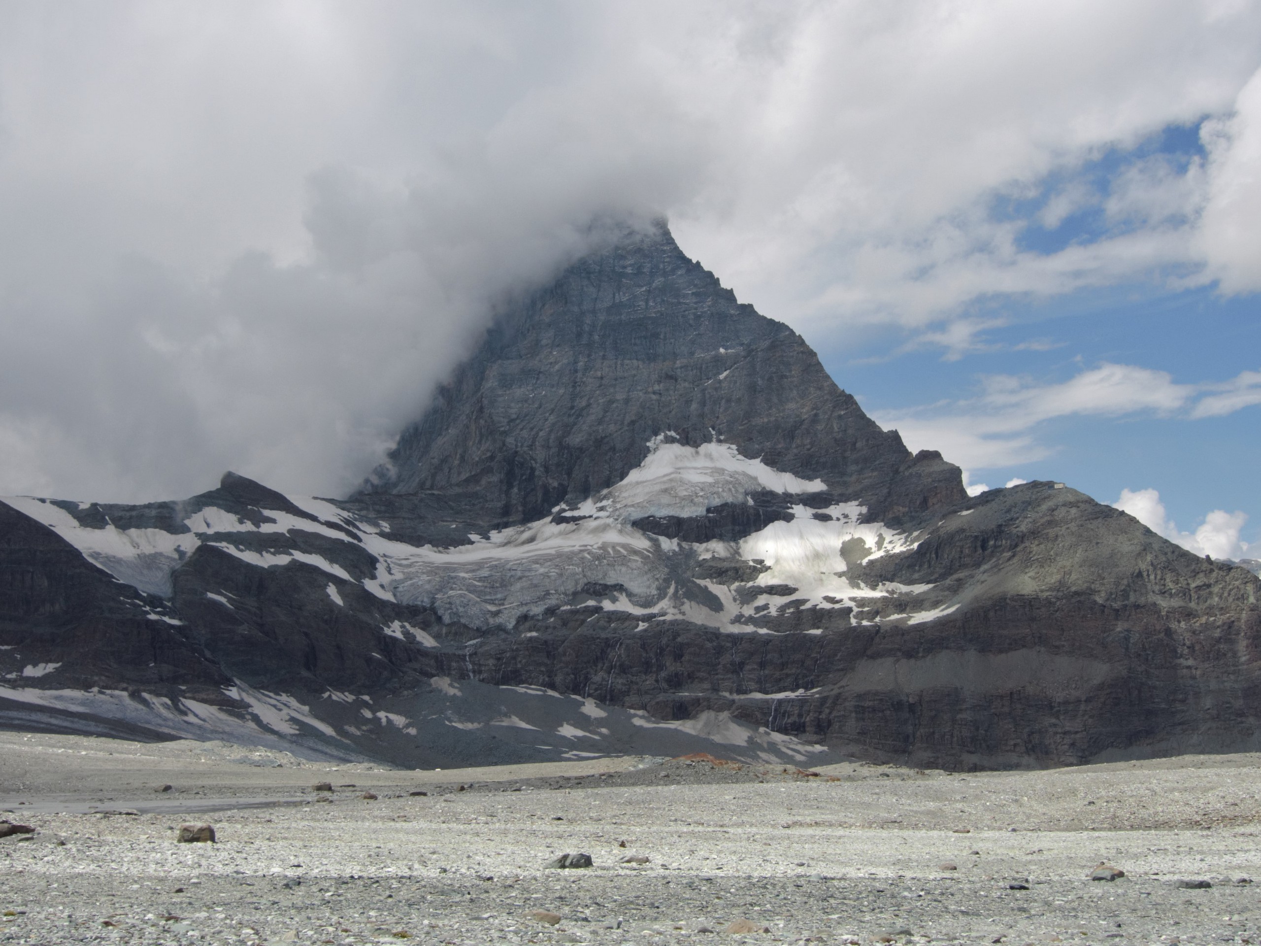
Matterhorn Glacier Trail
Difficulty Rating:
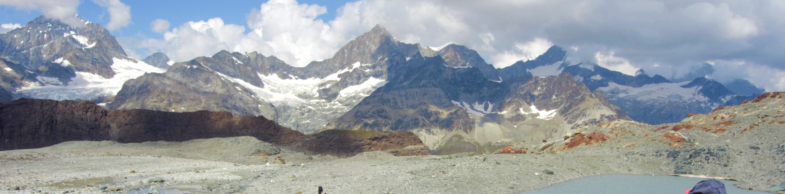
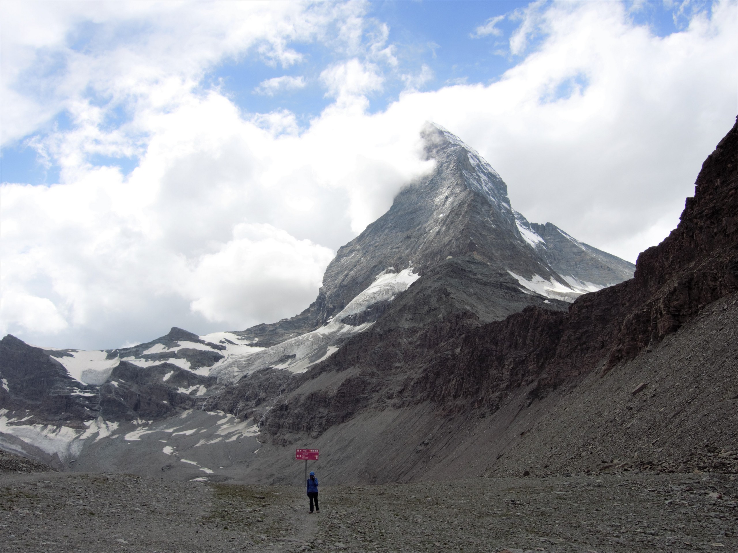
The Matterhorn Glacier Trail (Nr. 26) takes you close to the Furgg Glacier and right beside the east flank of the Matterhorn. In good weather the Matterhorn glistens in the light, which is simply stunning! Contrary to the name of the hike, you will not negotiate any glacier surface or even snow in summer. The hike is relatively easy with a largely downhill grade and is suitable for most fit adults.
Getting there
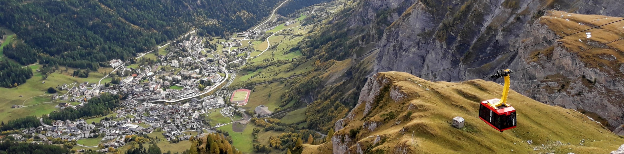
From Zermatt, walk or take a bus to the Matterhorn Express (Zermatt-Furi) lift station (20 minute walk from Zermatt train station). Inquire at the ticket window if the Matterhorn Glacier Trail is open and what time the lifts will close. Buy tickets to Trockener Steg lift station (9642ft) with a return trip to Zermatt via the Schwarzsee lift station (costing approximately 70 CHF). The tickets should allow you to ride to Furi station and then take a second lift to Trockener Steg station where the hike begins.

About
| When to do | June to September |
| Backcountry Campsites | No |
| Pets allowed | Yes - On Leash |
| Family friendly | Older Children only |
| Route Signage | Poor |
| Crowd Levels | Moderate |
| Route Type | One Way |
Matterhorn Glacier Trail
Elevation Graph
Weather
Route Description for Matterhorn Glacier Trail
The Trockener Steg station has a restaurant, restroom, and a viewing deck, but there is no other shelter or amenities once you leave the station until you complete the hike. The trail is very rocky so wear appropriate footwear. Additionally, the wind can be quite severe even in summer and it often rains unexpectedly, so take a waterproof jacket.
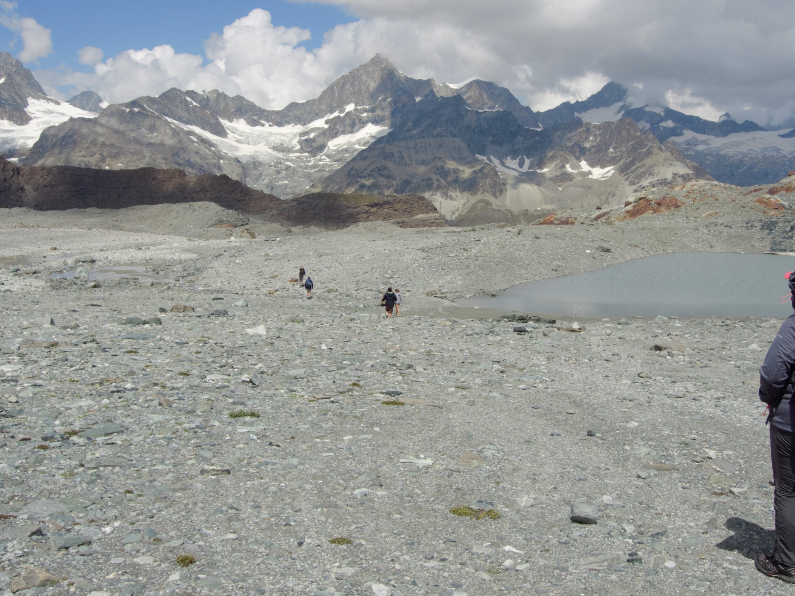
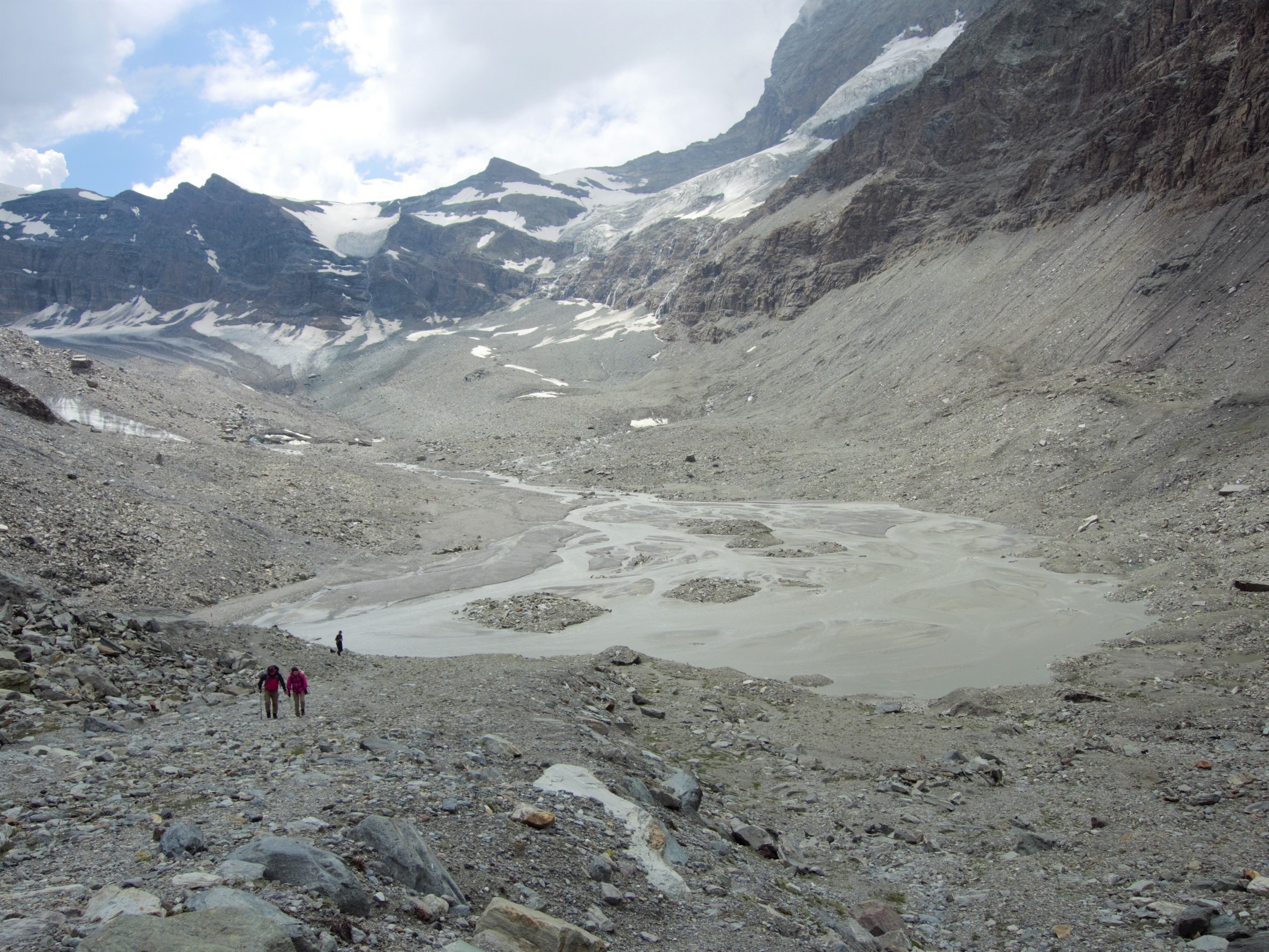
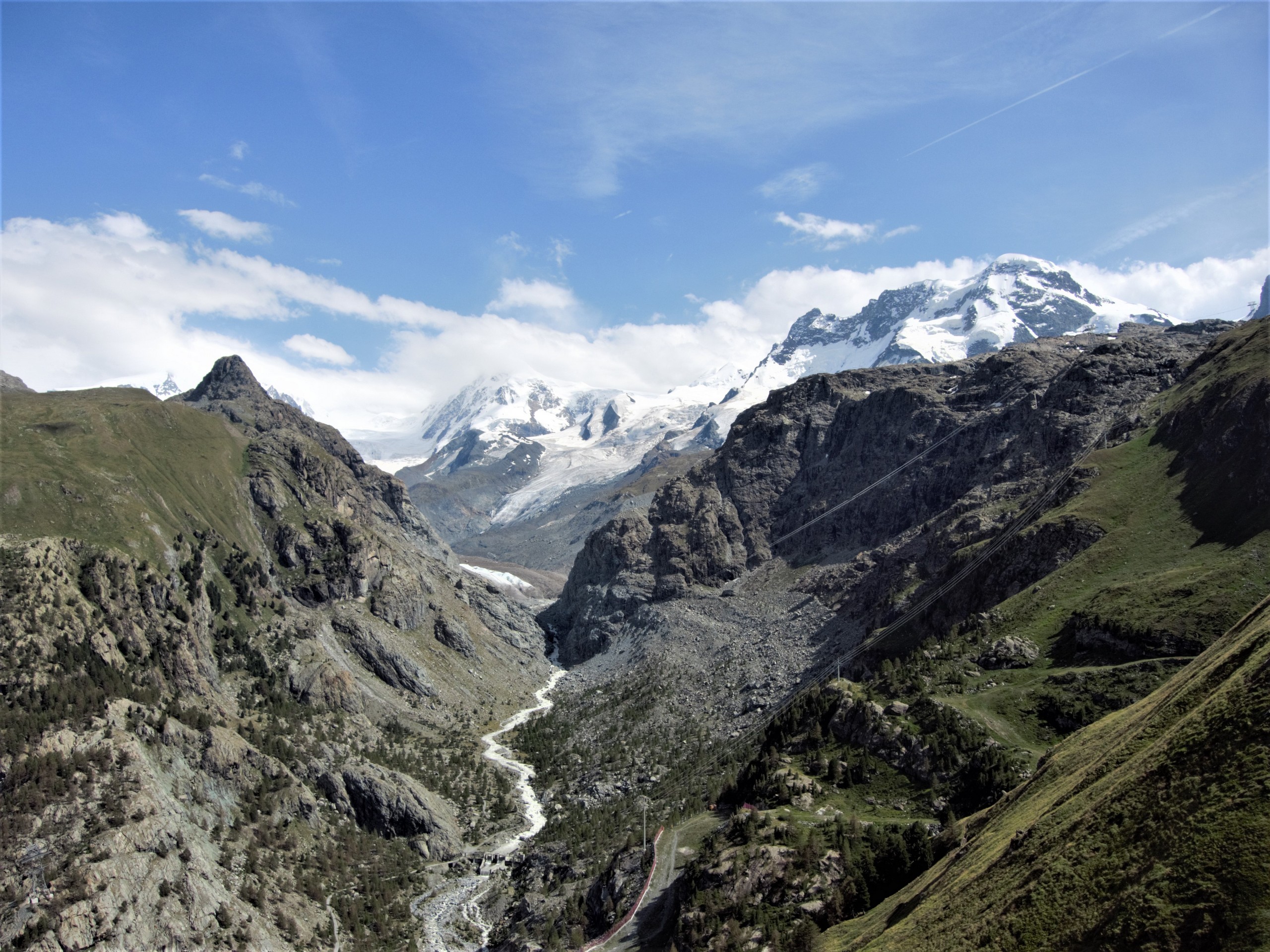
The hike starts out westward on an easy grade descent. Follow the trail as it winds down beside an alpine lake and crosses a river. The trail will ascend after crossing the river; follow it 656ft to the Furgg Glacier.
The trail will meander past some smaller alpine lakes then move northwards with a good view of the Matterhorn. Past this point, the trail will descend on very rocky ground, cross a foot bridge, then ascend towards Sesselbahn Hirli (chair lift station), where the view of the Matterhorn is quite dramatic.
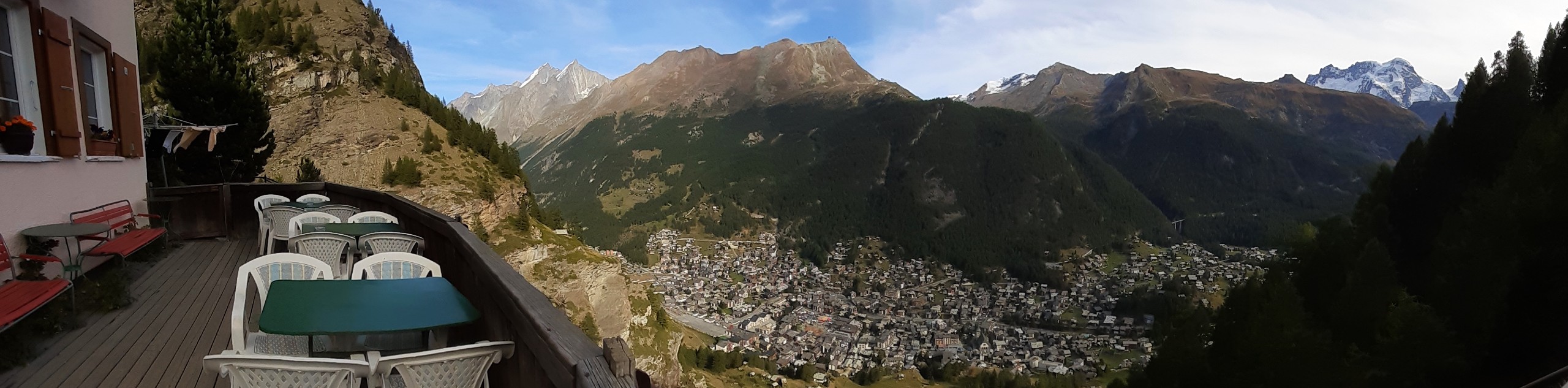
Continue along the trail until it descends to the Schwarzsee lift station. The Schwarzsee lift station has a restaurant and viewing deck, perfect for a stop if you’re hungry!
To leave, take the lift from Schwarzsee station back to Furi station and on to Zermatt.
Insider Hints
You can inquire at the Bahnhofplatz Guest Information Center (beside the Zermatt train station) to ensure the trail is open and to gather additional info before you begin.
At the Trockener Steg lift station, go to the restaurant then exit to the view deck to get a feel of the temperature and wind conditions. You can then come back in and have coffee while you adjust your clothing layers before you step out to the trail.
Follow the trail signs, as the route can vary slightly from season to season.
Schedule your hike to give you some time to relax and enjoy the view at the Schwarzsee lift station.
The trail traverses ground that was once under a retreating glacier. If you come across any historical artifacts, you are required to turn them over to the tourism office which will then forward them to archeologists.
Similar hikes to the Matterhorn Glacier Trail hike
Edelweiss Refuge Loop
Zermatt is an area strewn with hiking trails that intersect on well signposted routes. This hike can be altered depending…
Eiger Trail
The Eiger Trail skirts the north face of one of the most iconic mountains in Europe. The hike is relatively…
Daubensee
Hiking around Daubensee Lake gives you a gentle work out with a great view of glaciers, the lake, and the…
Comments