Lac Lioson
View Photos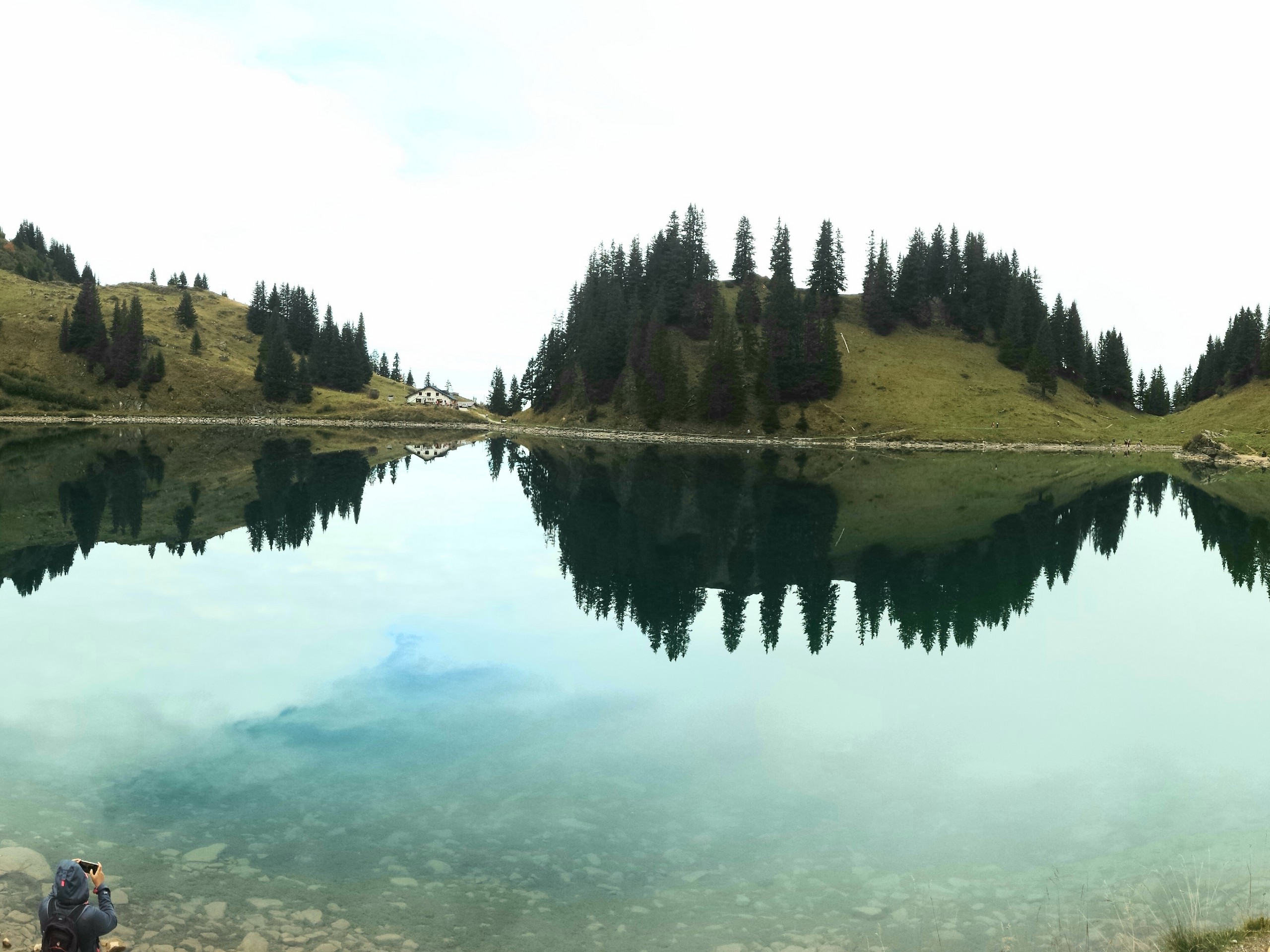
Lac Lioson
Difficulty Rating:
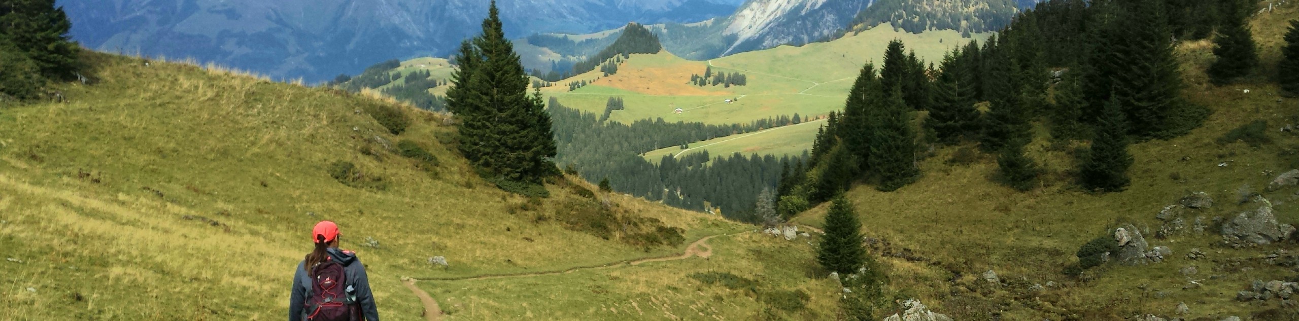
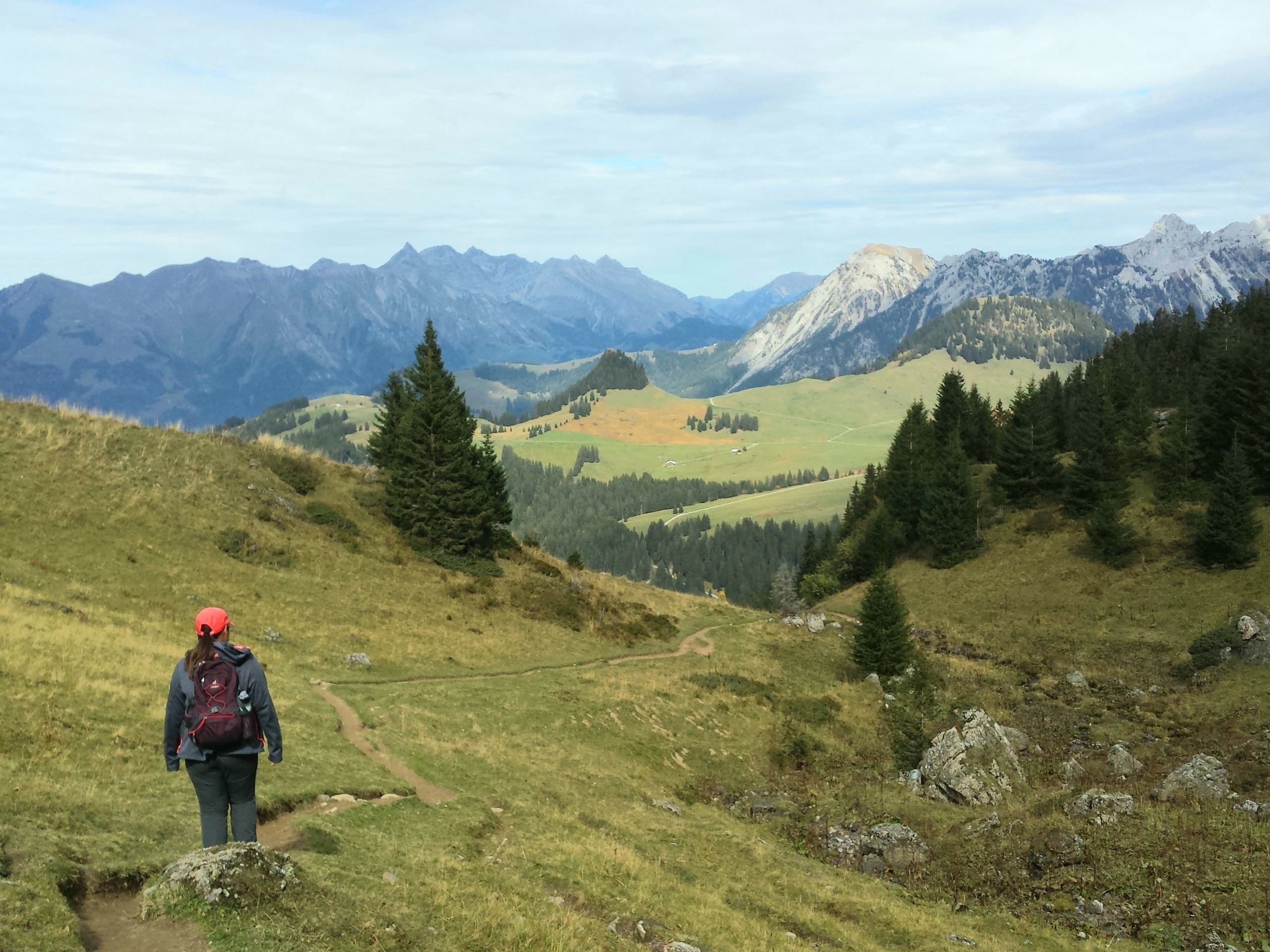
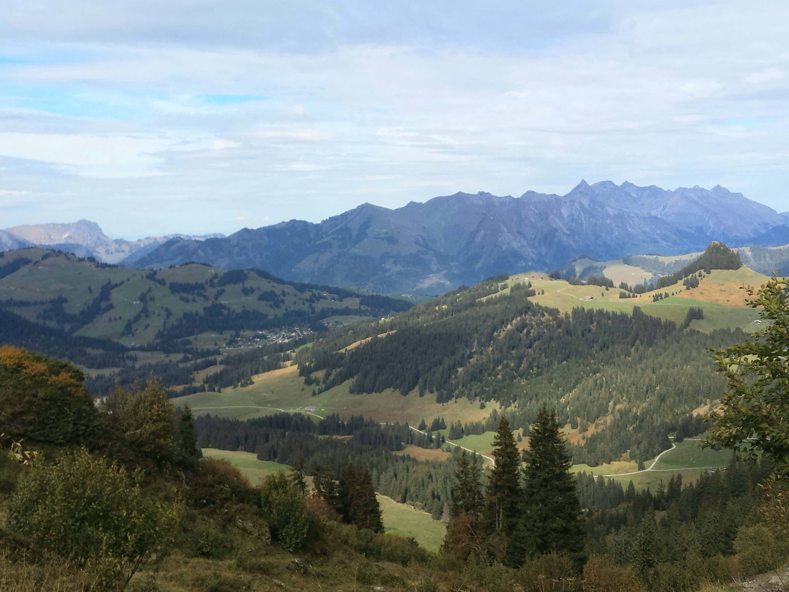
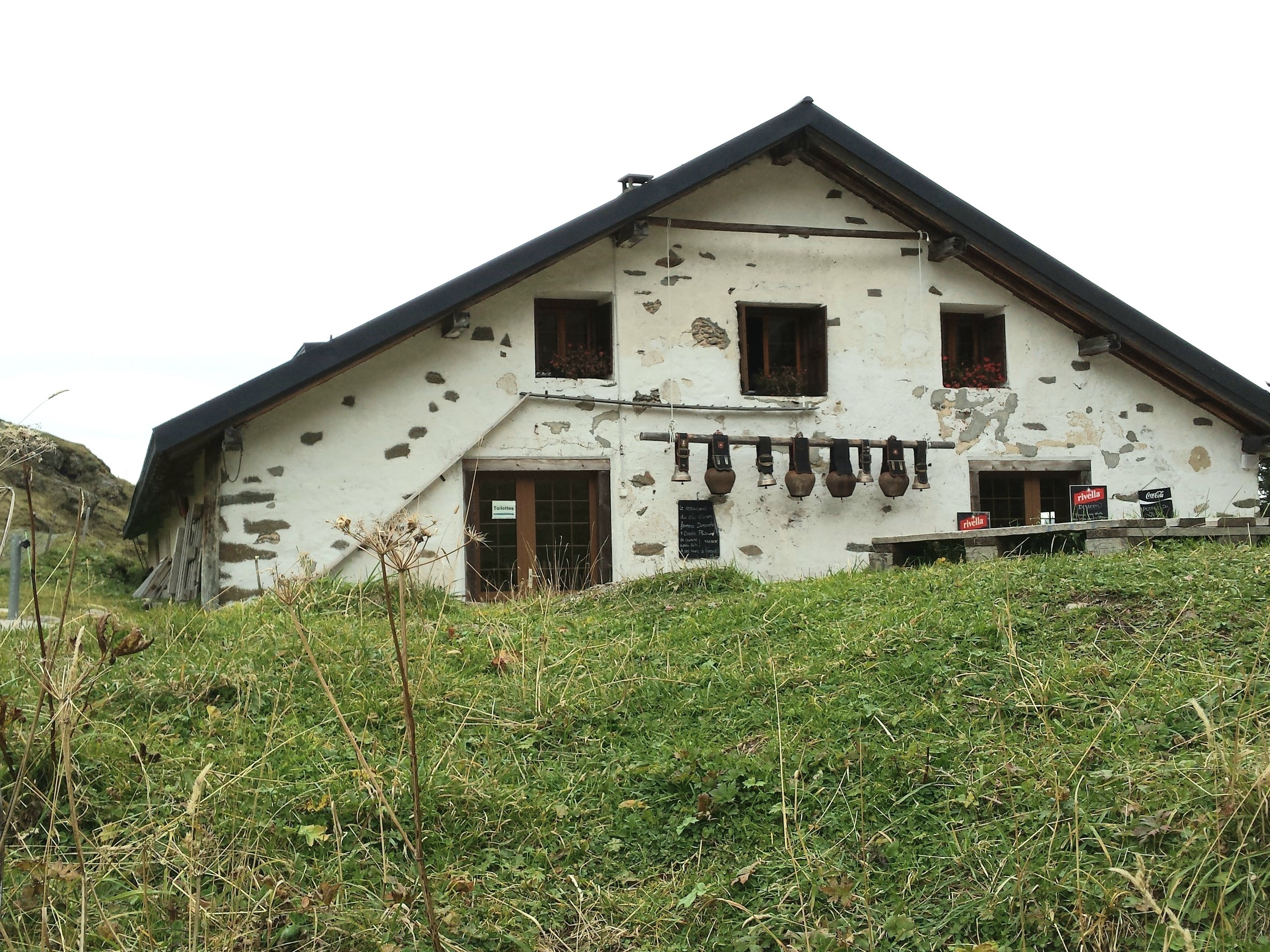
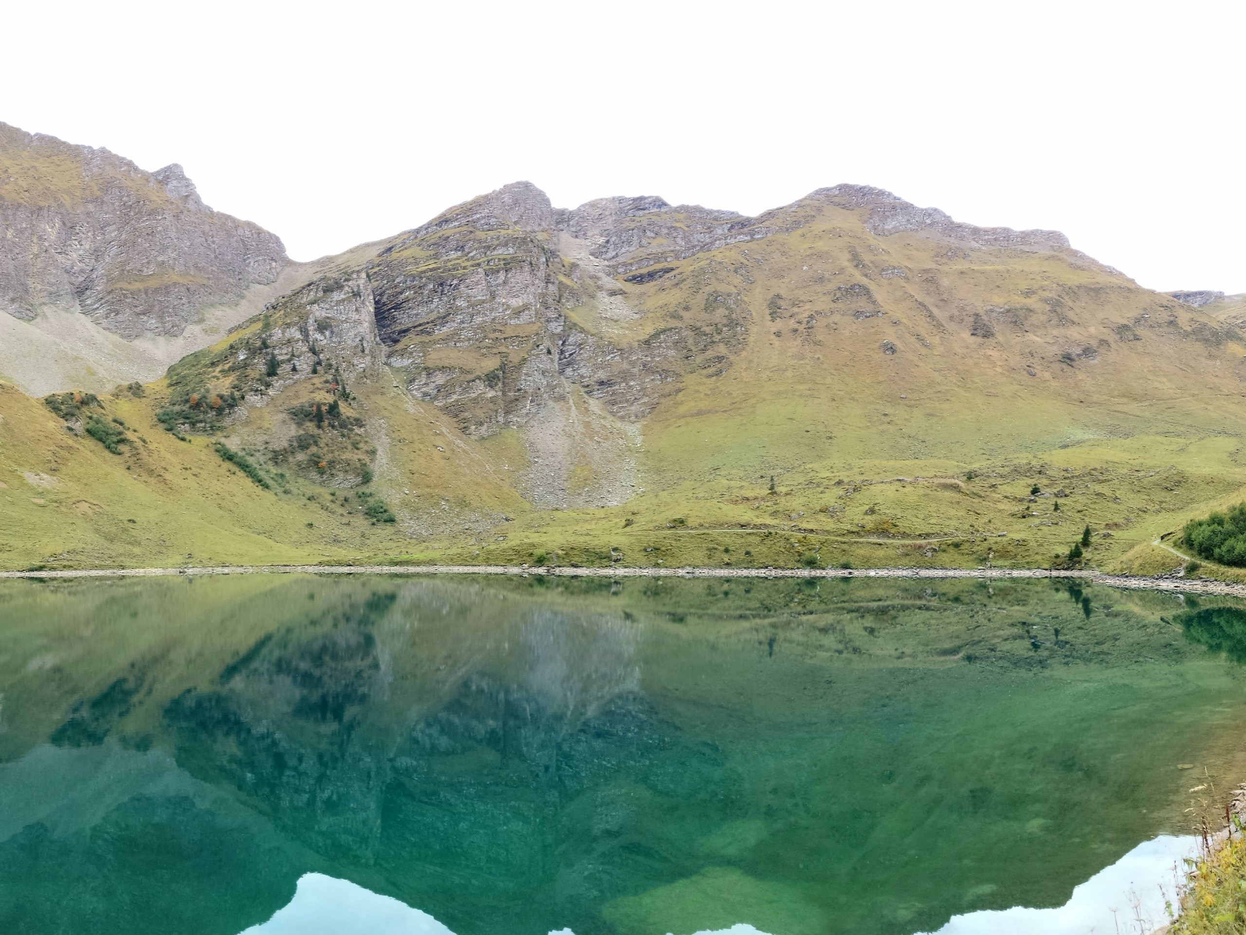
If you are staying in the Geneva or Lausanne area, Lac Lioson is a short distance and an easy hike away to experience a pretty alpine lake. There is a restaurant beside the lake that serves very good food. You have the choice of completing the loop around the hill for a more challenging walk or returning to the parking lot from the lake to make it a very easy hike.
Getting there
Lac Lioson is near the village of Les Mosses in the canton of Vaud. From Lausanne, drive to Les Mosses by taking the highway to Aigle, then driving the narrower mountain roads to Les Mosses. At Les Mosses, take Chemin du Lioson by entering the street near Le Bivouac restaurant. At the end of Chemin du Lioson is a small free parking lot where the trail starts.

About
| When to do | June to October |
| Backcountry Campsites | No |
| Pets allowed | Yes |
| Family friendly | Older Children only |
| Route Signage | Poor |
| Crowd Levels | Low |
| Route Type | Circuit |
Lac Lioson
Elevation Graph
Weather
Route Description for Lac Lioson
The trail to Lake Lioson starts on a gravel road, and the return trip that goes over the hills will be on narrow, rocky footpaths. A light hiking shoe is ideal, though you can take trainers if the weather is good and dry.
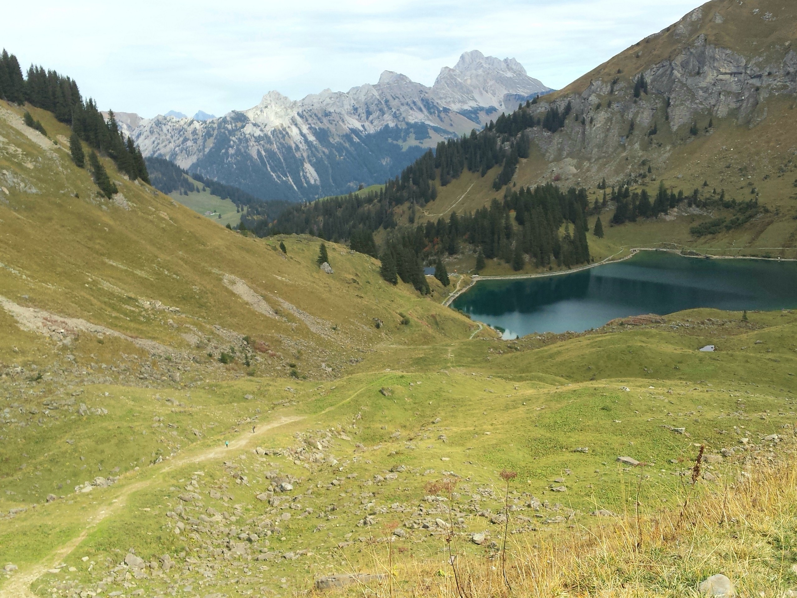
From the parking lot, take the trail to the left that goes directly to Lake Lioson. The trail is wide, more like a dirt road, and heads southeast. After ascending 0.7mi, you will see the lake and the restaurant.
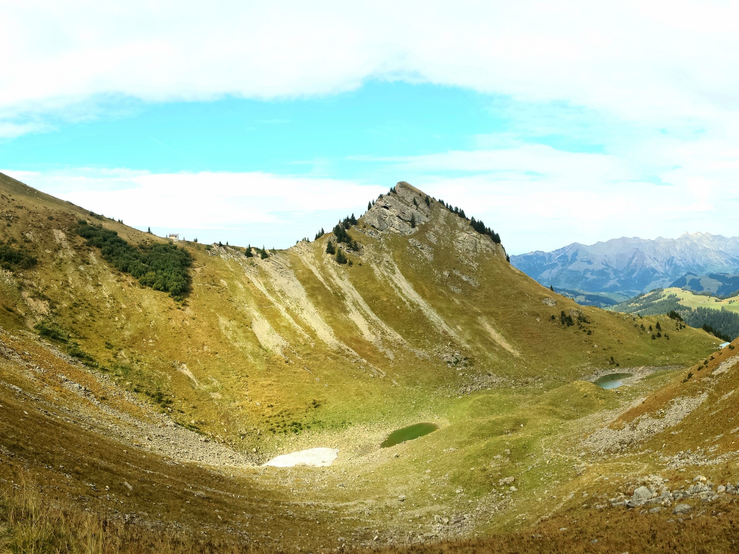
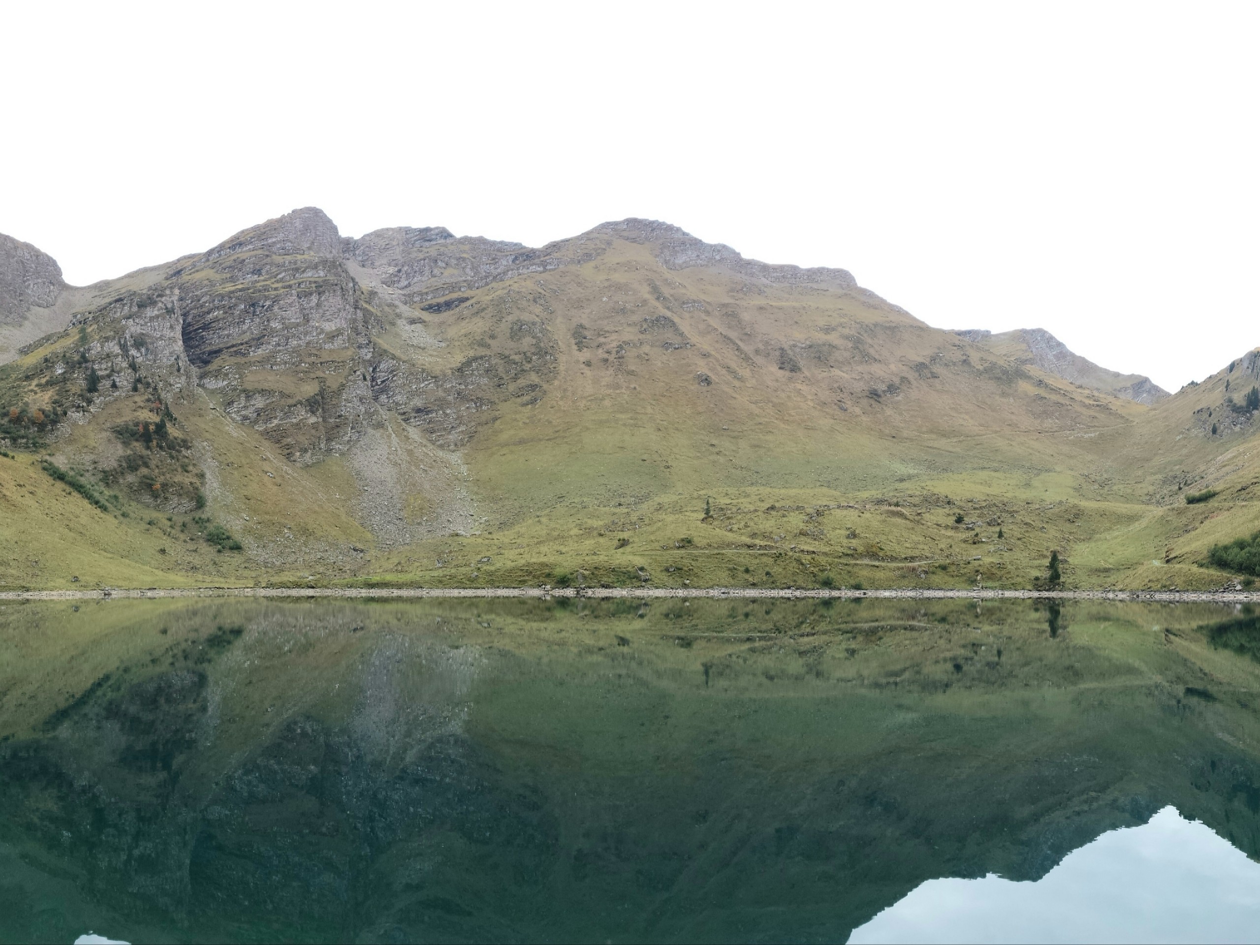
Lake Lioson is used for fishing and ice diving. If you want a more challenging hike, you can walk the narrower path that passes around the lake then ascends the hills (follow a GPS track).
From the restaurant, take the trail that goes along the left bank of the lake. When you end up opposite of the restaurant on the lake, the trail starts to ascend southward away from the lake. After you’re 1.2mi past the restaurant, the trail will turn around a hill to the right and will descend back to the parking lot.
Insider Hints
It is best to take a car to hike Lac Lioson. If you need to take public transport, you can take a Train to Aigle, transfer to another train to Le Sepey, then a bus to Les Mosses, adding 0.6mi of walking to get to the trailhead.
If you want the hike to be as easy as possible, you can reverse your route from the restaurant back to the parking lot, and your total hike will be about 1.5mi.
Similar hikes to the Lac Lioson hike
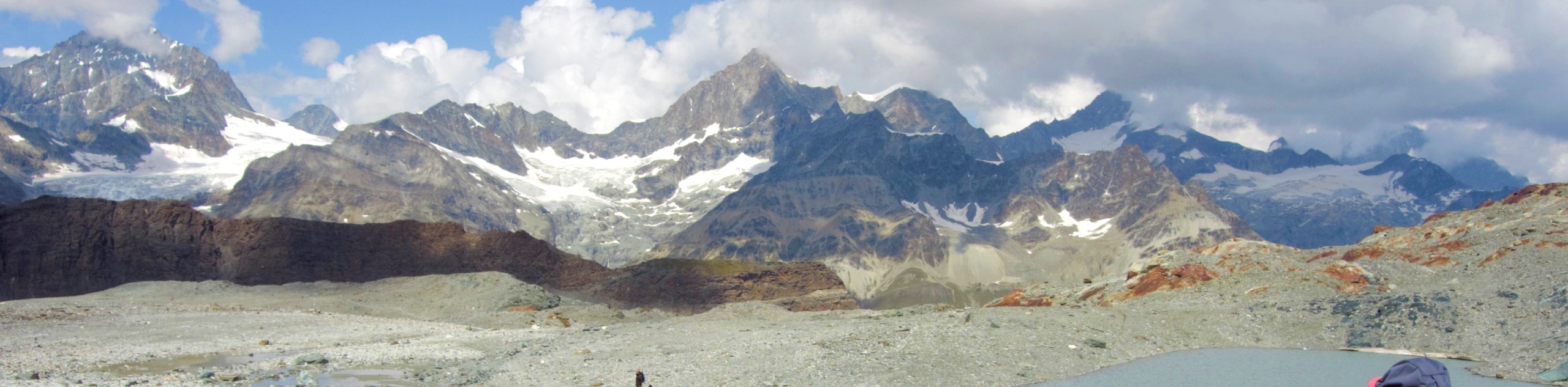
Matterhorn Glacier Trail
The Matterhorn Glacier Trail (Nr. 26) takes you close to the Furgg Glacier and right beside the east flank of…
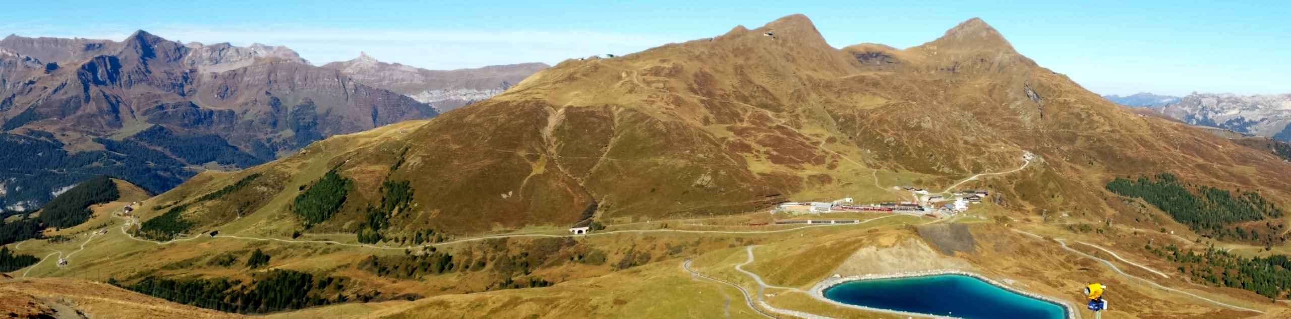
Eiger Trail
The Eiger Trail skirts the north face of one of the most iconic mountains in Europe. The hike is relatively…
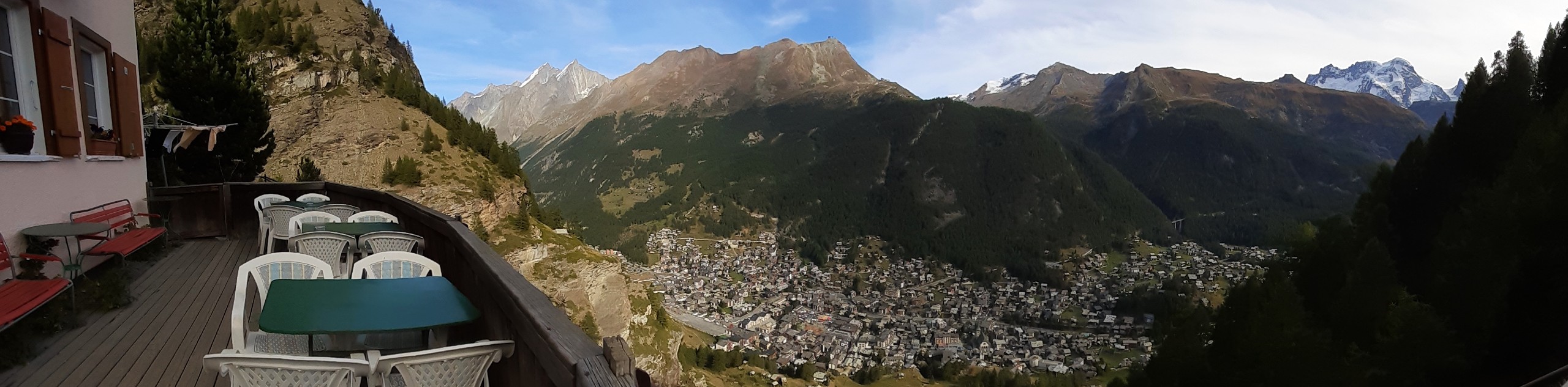
Edelweiss Refuge Loop
Zermatt is an area strewn with hiking trails that intersect on well signposted routes. This hike can be altered depending…
Comments