Gotthard Pass to Hospental
View Photos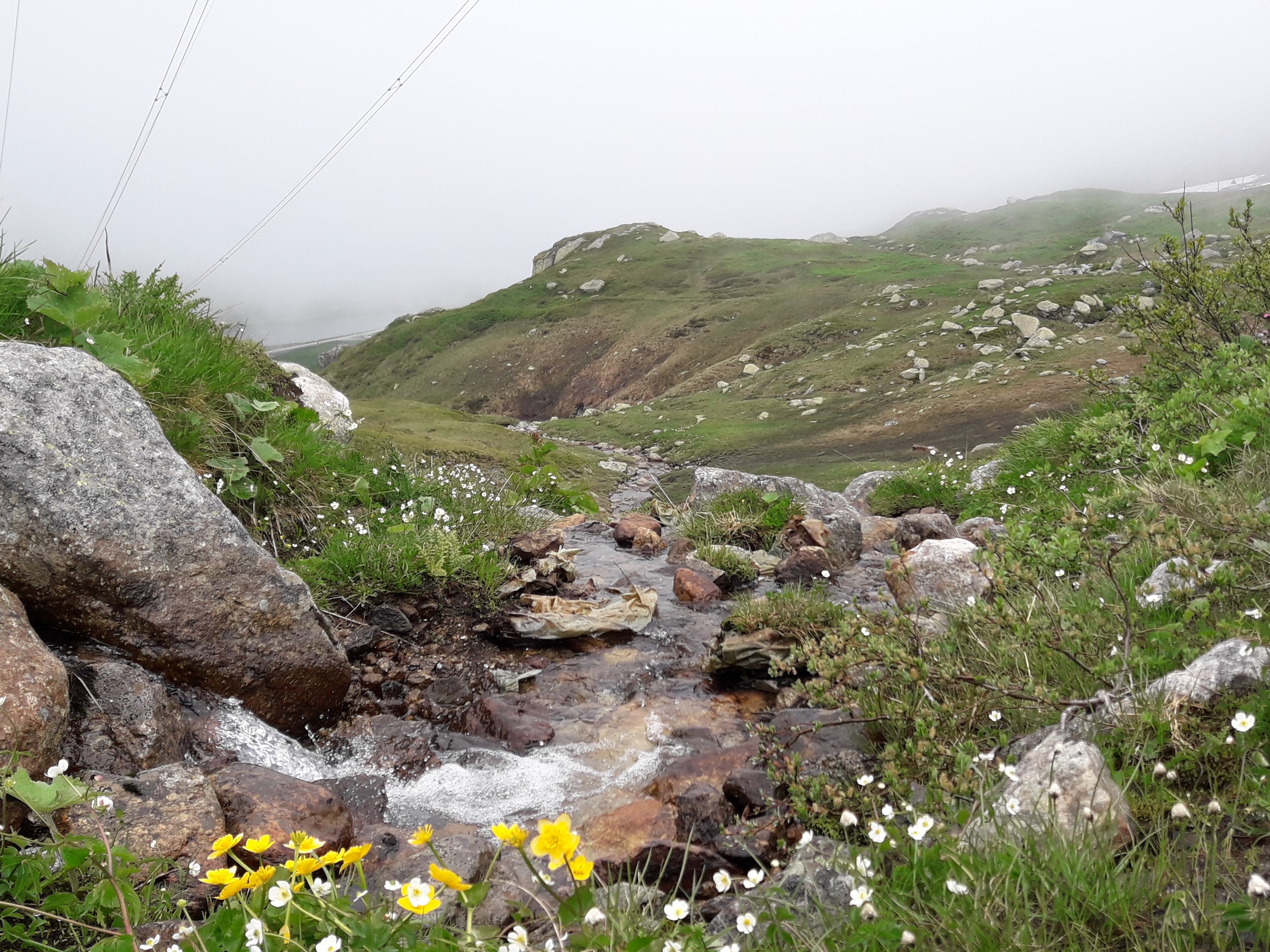
Gotthard Pass to Hospental
Difficulty Rating:
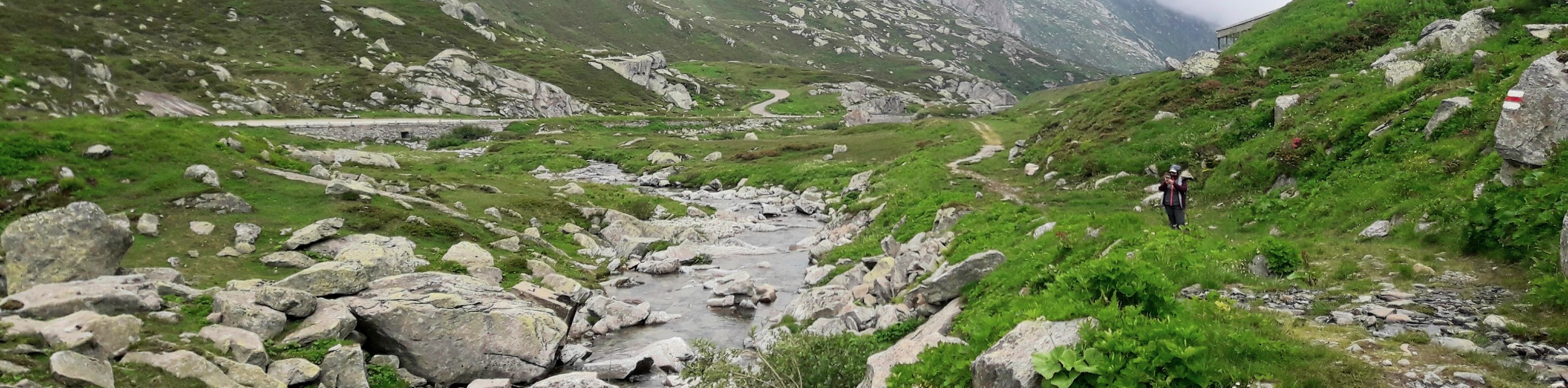
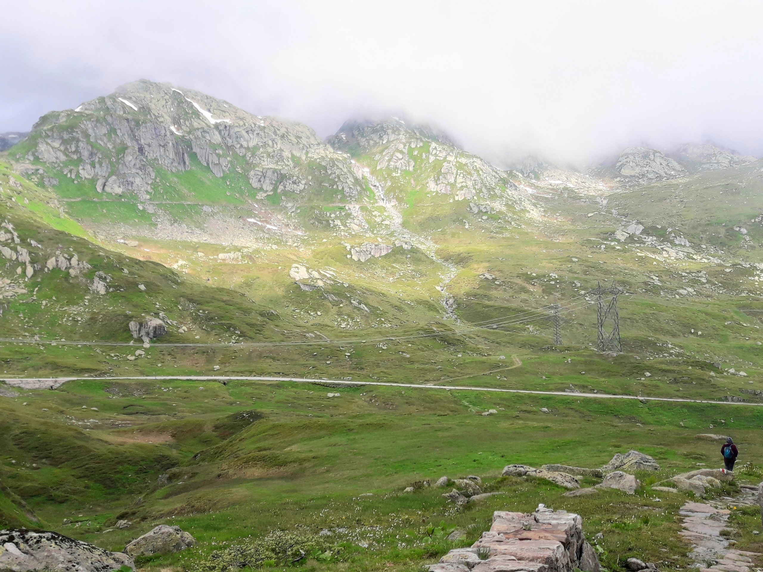
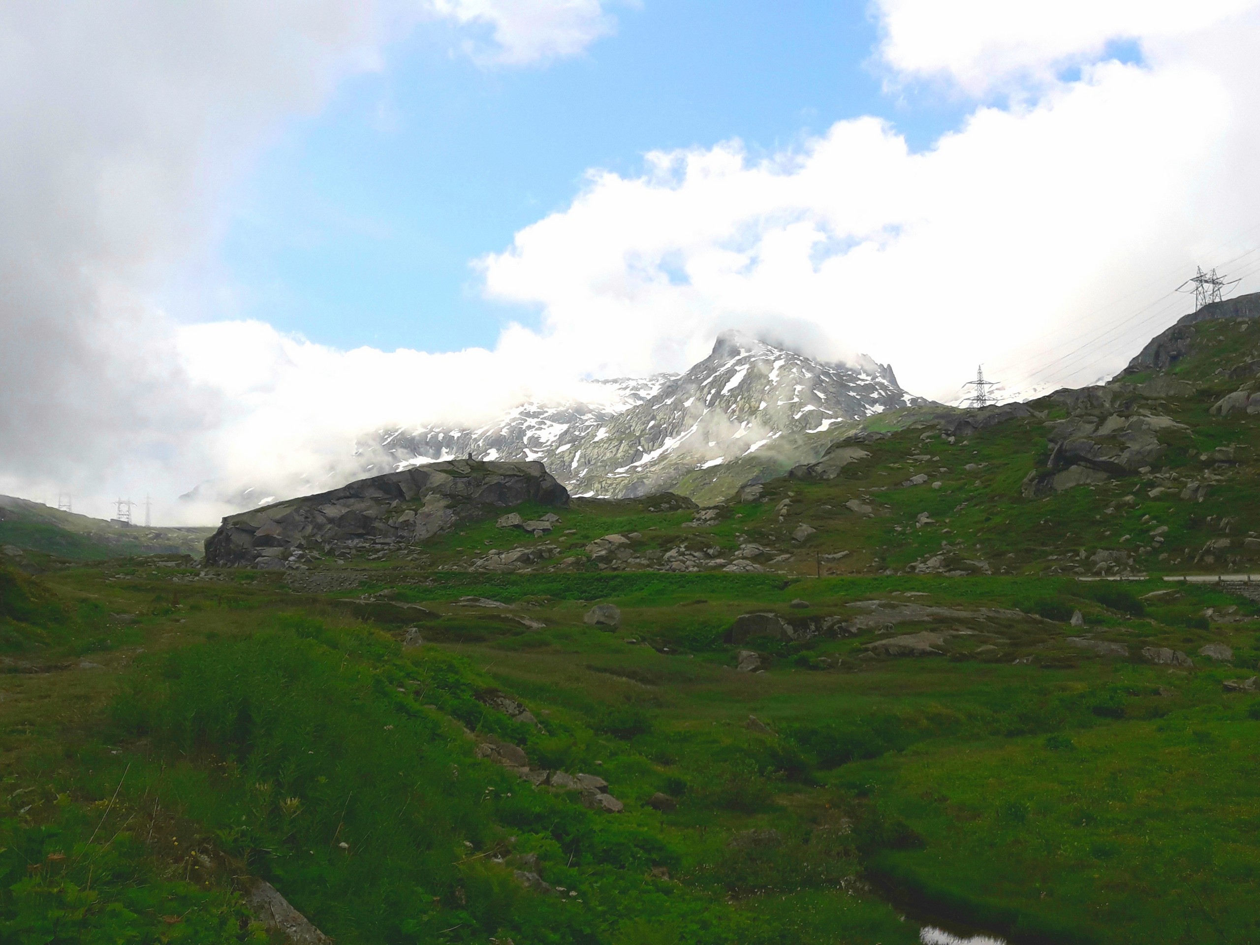
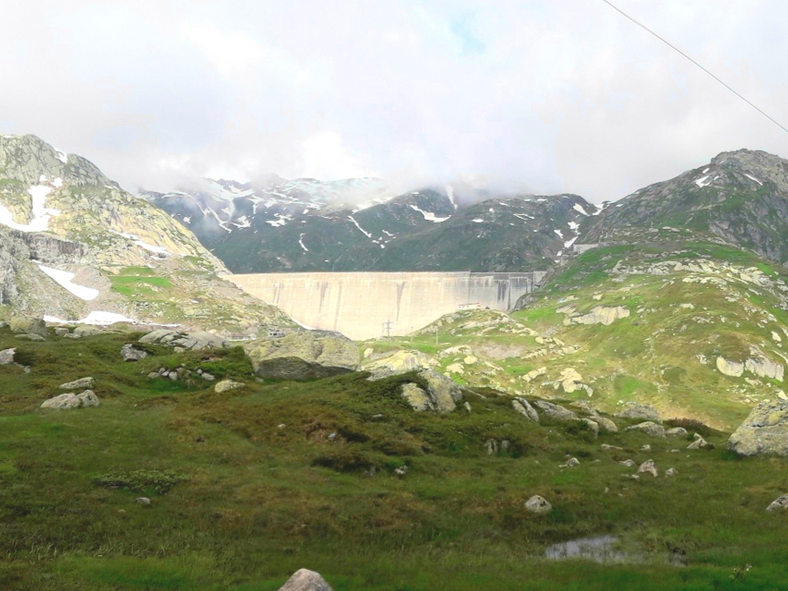
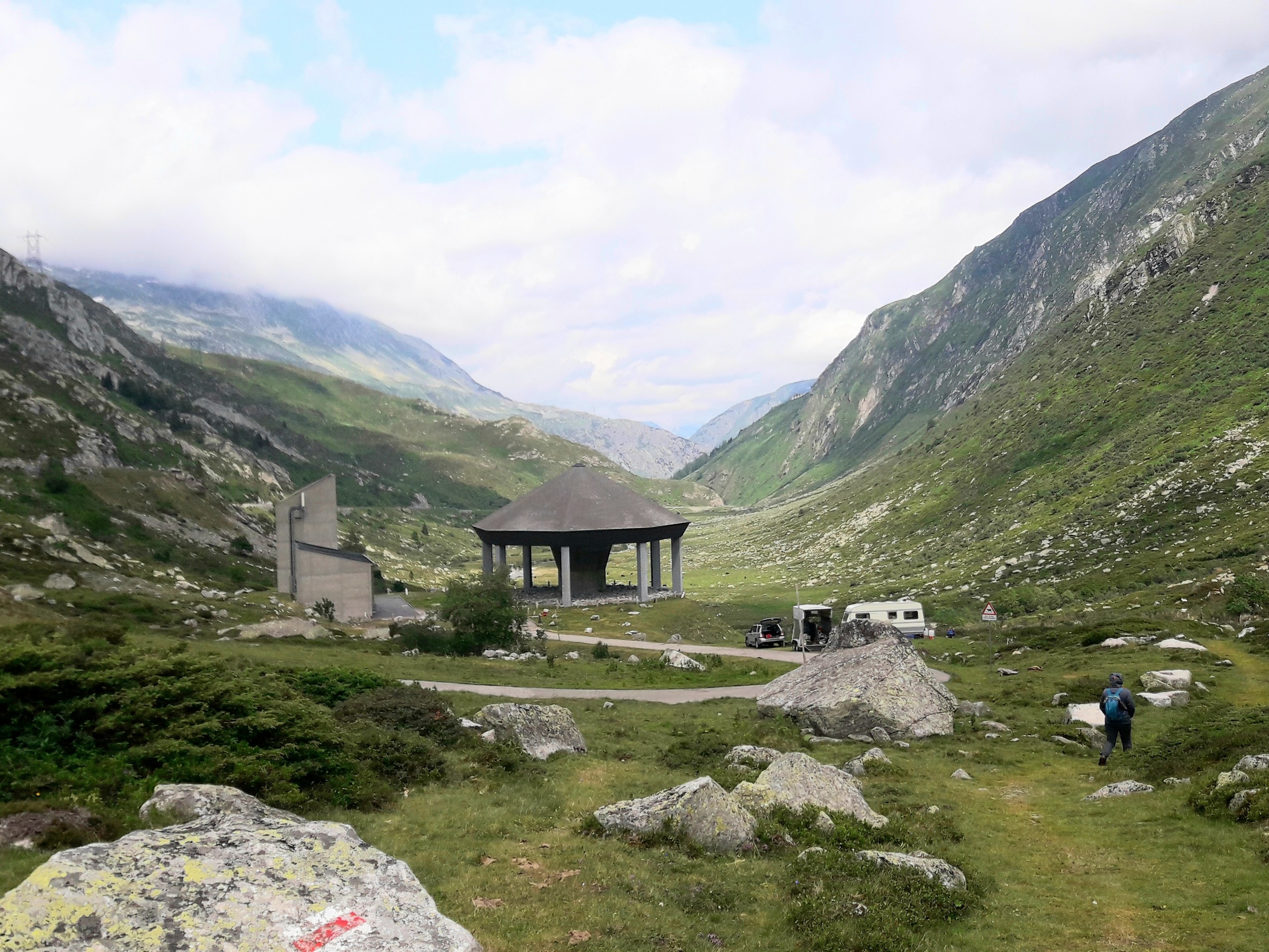
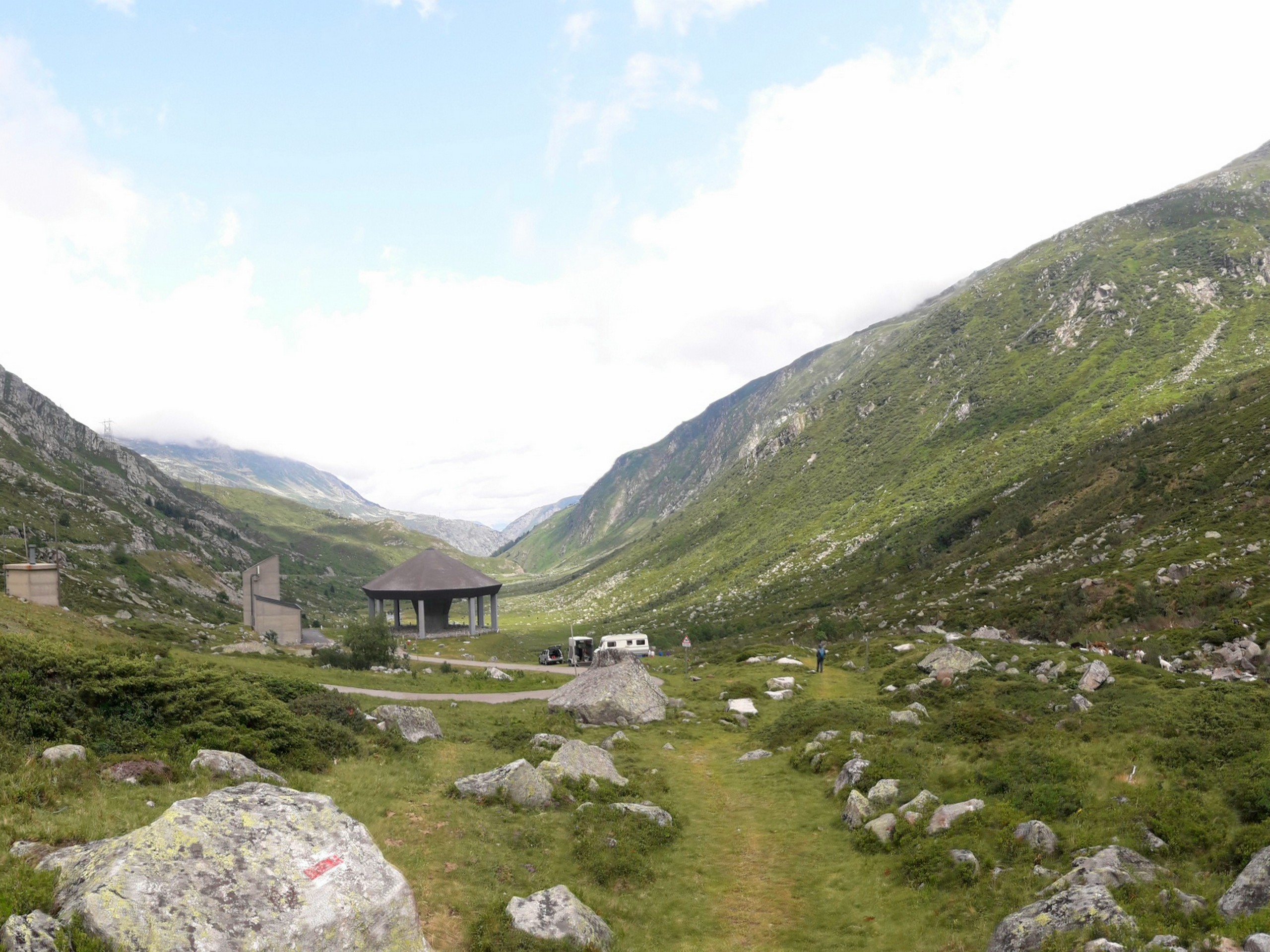
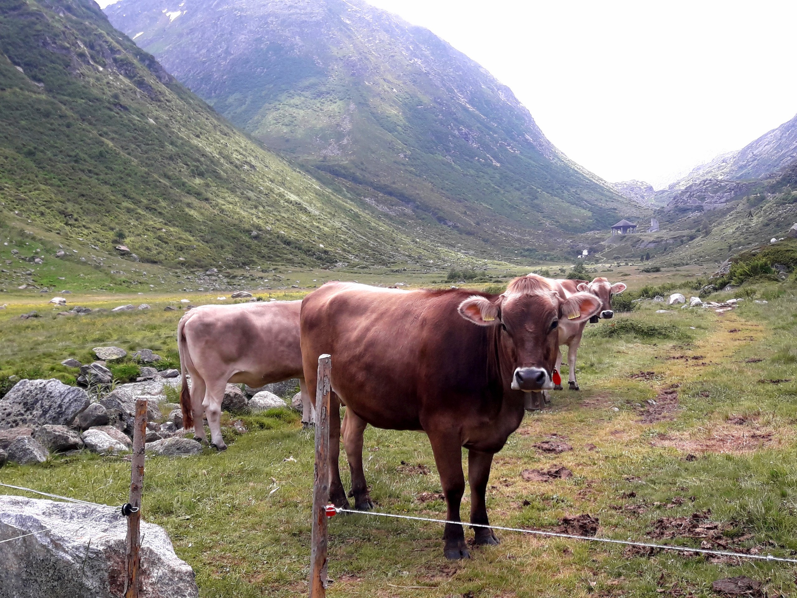
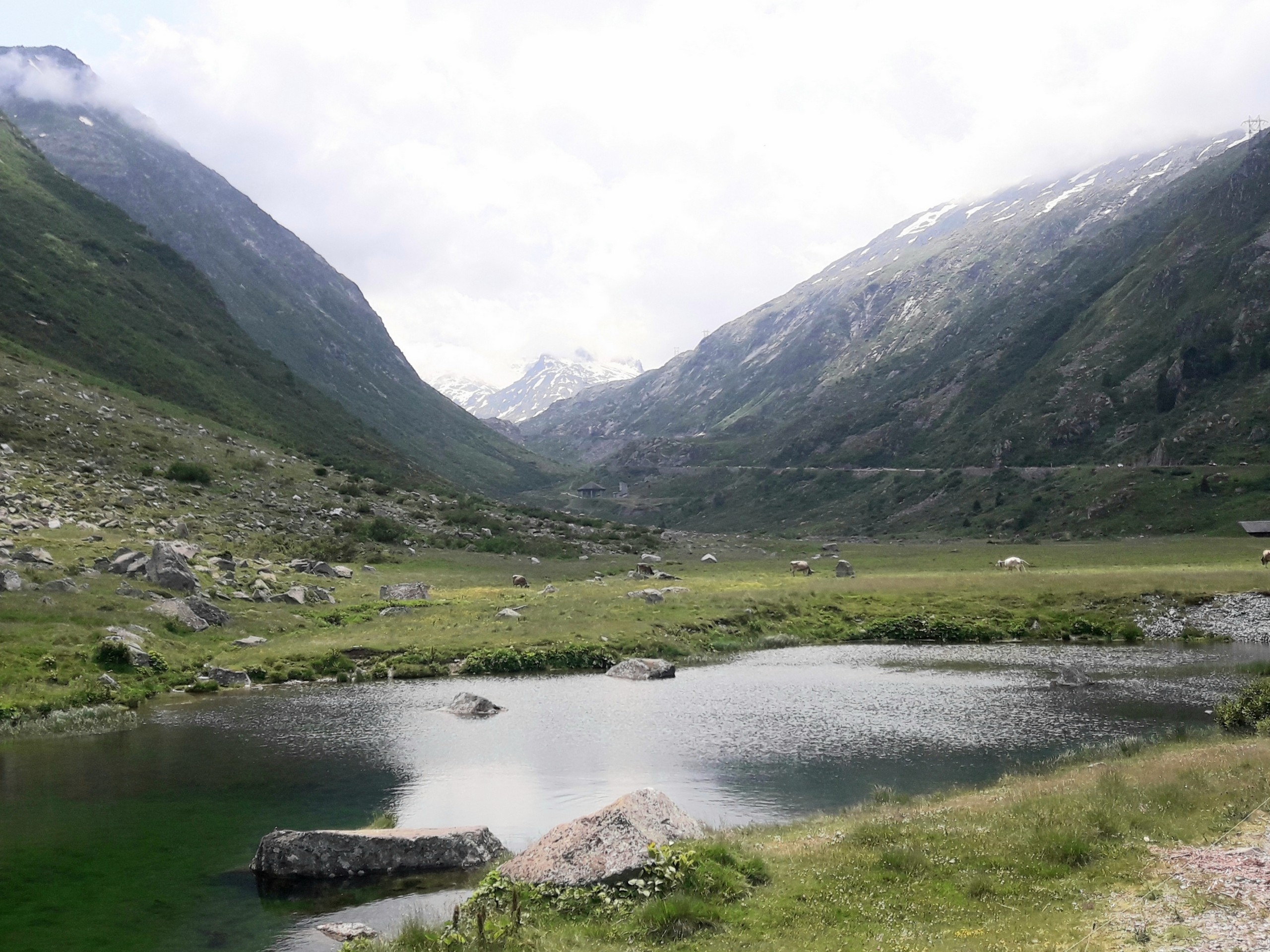
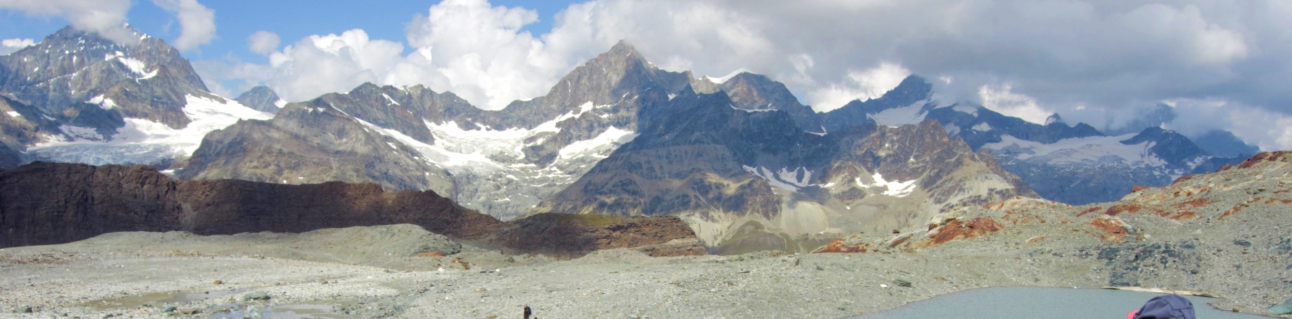
Passo del Gottardo (Gotthard Pass) is the most important north-south alpine route in Switzerland. Hiking from Gotthard Pass to Hospental takes you through the beautiful Hospen Valley with views of snowy summits, alpine meadows, and the dam of Lake Lucendro.
Getting there
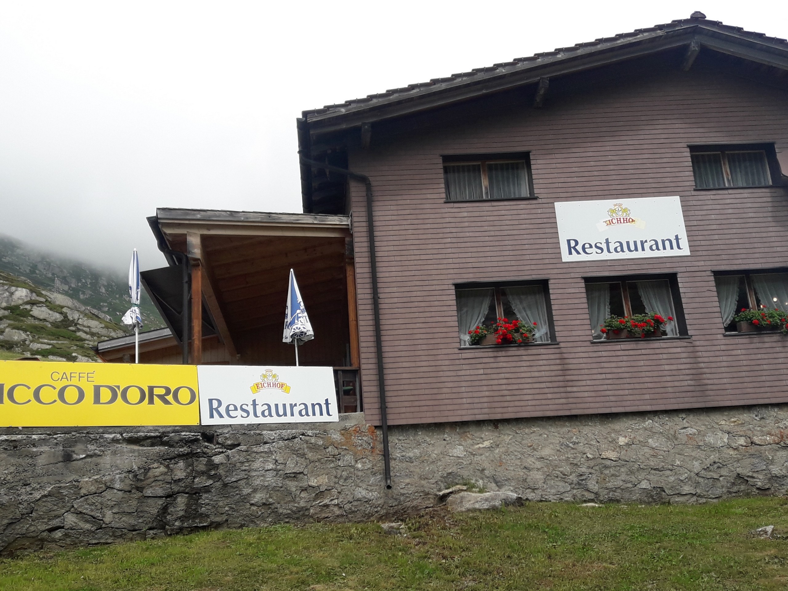
Gotthard Pass is in the canton of Uri and is best accessed by basing yourself at either Hospental or Andermatt. Both villages of Hospental and Andermatt can be reached by train or car from Lausanne (174.0mi) or Zurich (74.6mi). To get to Gotthard Pass for the hike starting from Hospental, take Bus 110 in the direction of Airollo. Take note of the Chicco d'Oro restaurant along the way if you want to eat in the middle of your hike later. Get off at the Gotthard Pass stop (5.0mi) which takes only 20 minutes.

About
| When to do | June to September |
| Backcountry Campsites | No |
| Pets allowed | Yes |
| Family friendly | Older Children only |
| Route Signage | Average |
| Crowd Levels | Low |
| Route Type | One Way |
Gotthard Pass to Hospental
Elevation Graph
Weather
Route Description for Gotthard Pass to Hospental
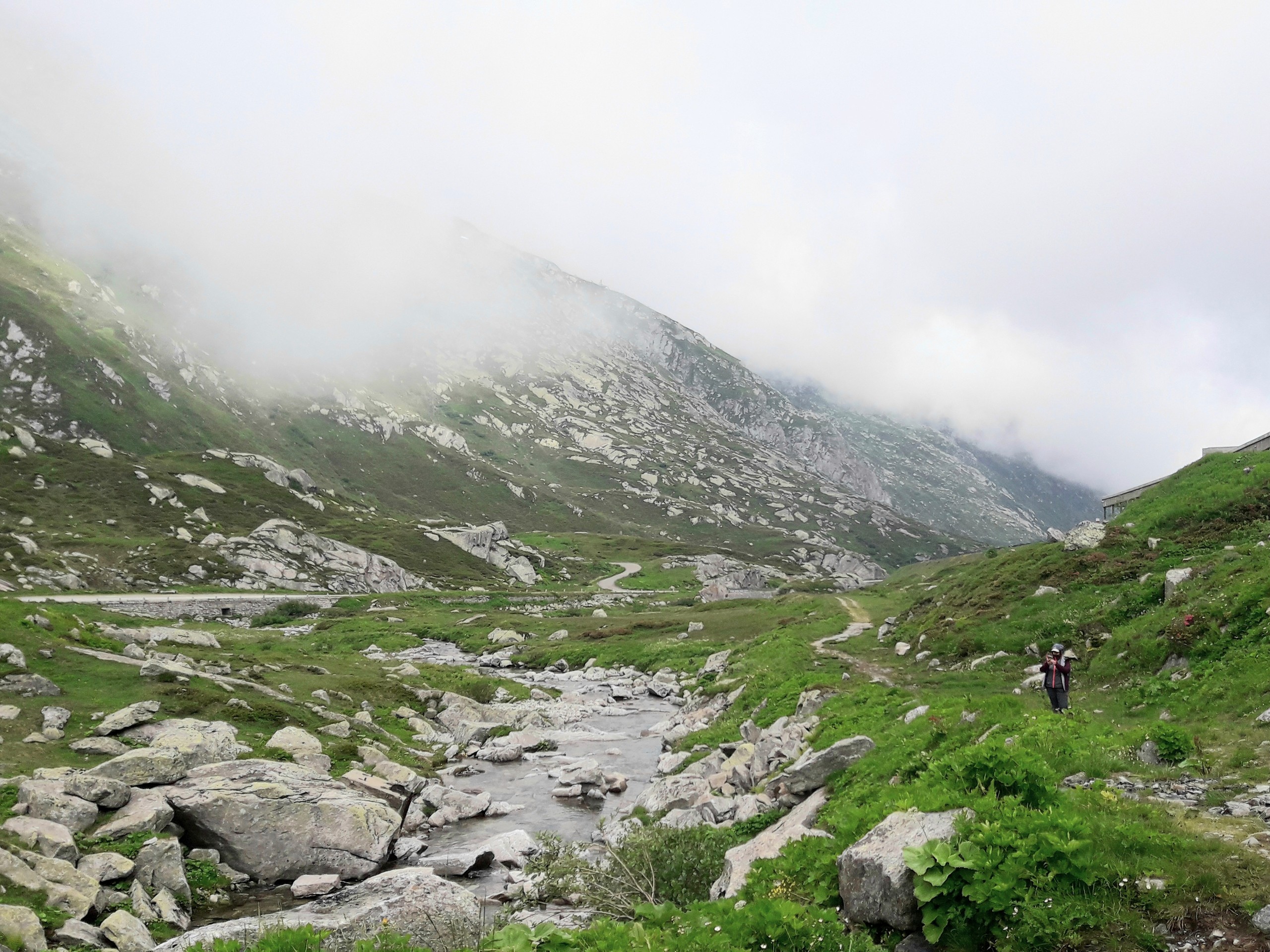
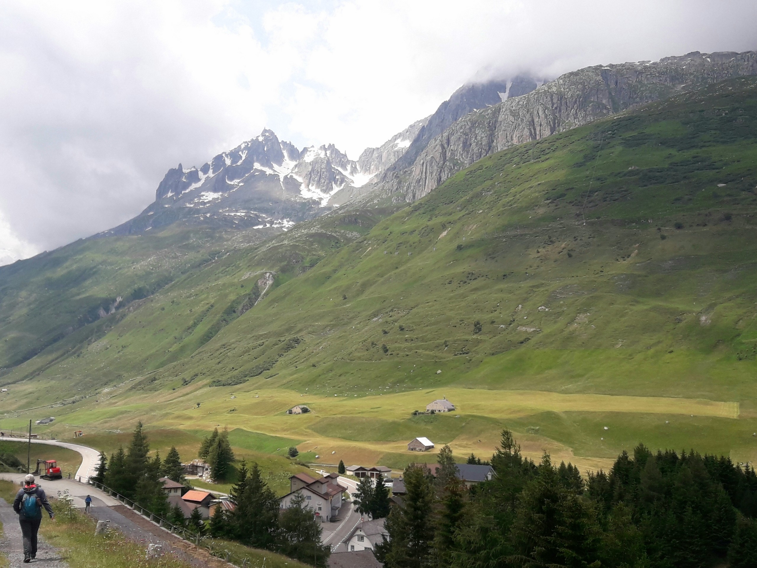
This hike is on generally easy terrain, but it includes some rocky sections and even a very short crossing on ice (in summer), sturdy footwear is best but you can get by with trail runners.
The starting point of the hike is Gotthard Pass, which has a hotel, restaurants, a sausage kiosk, a museum, and souvenir shops.
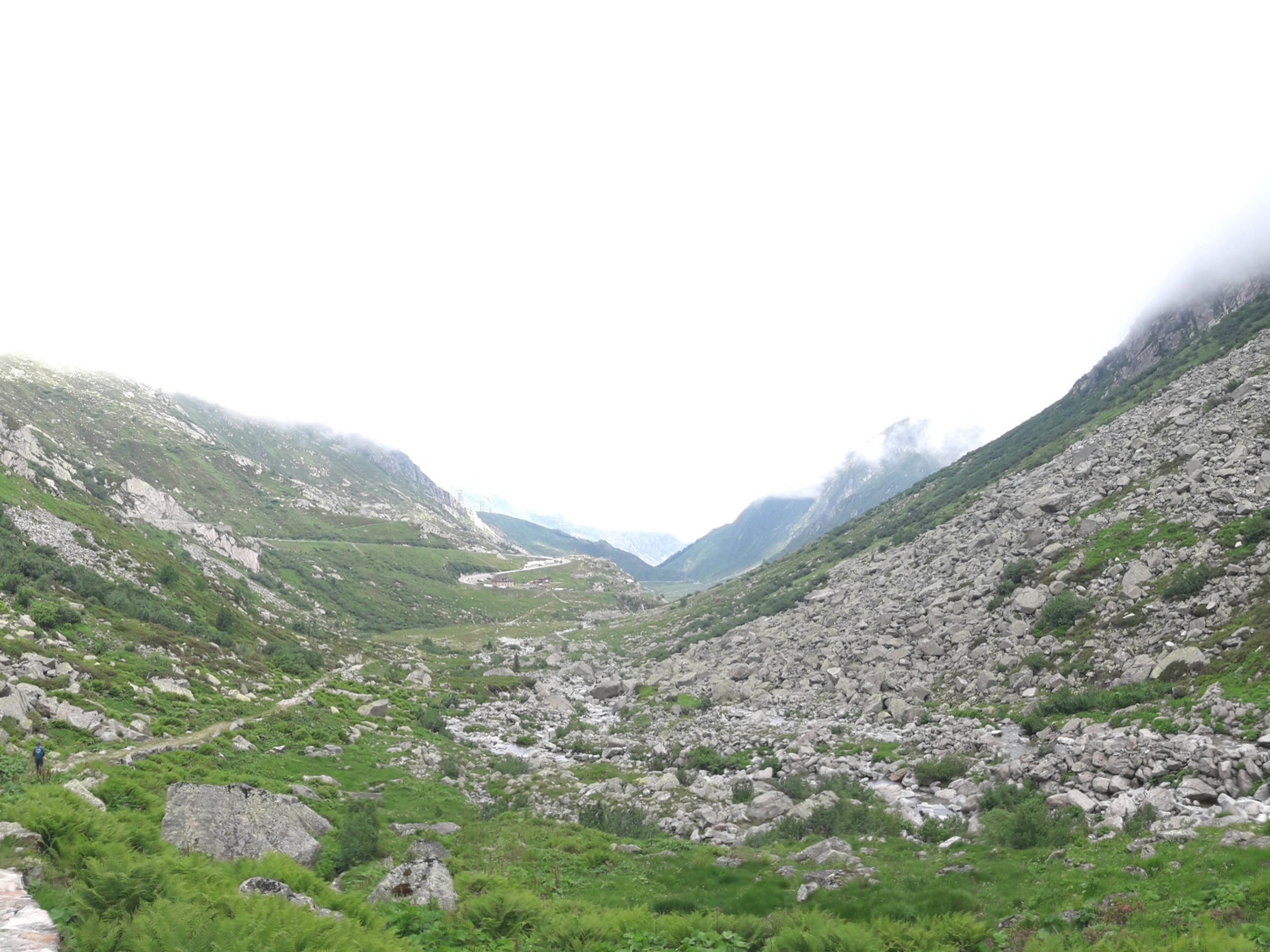
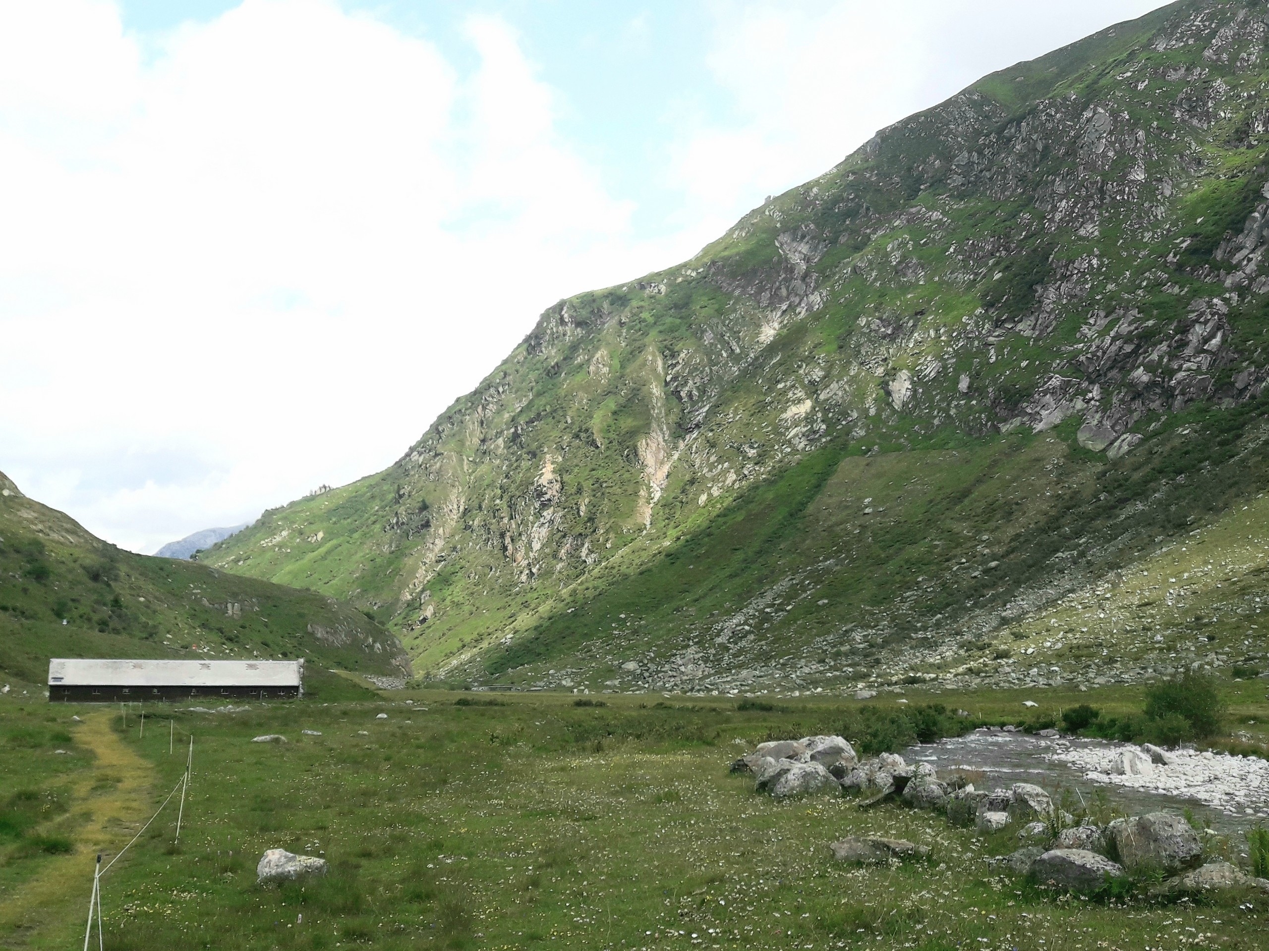
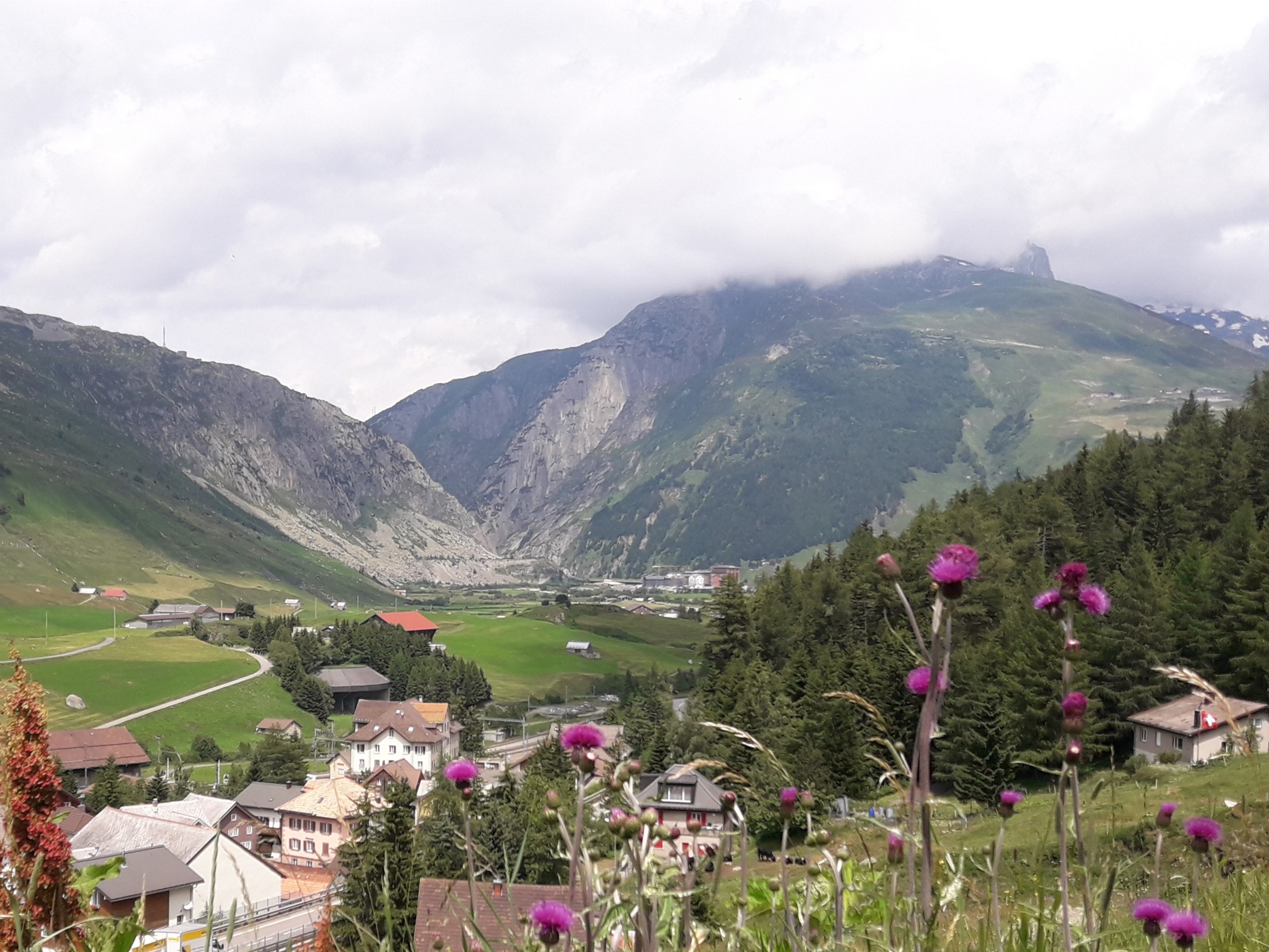
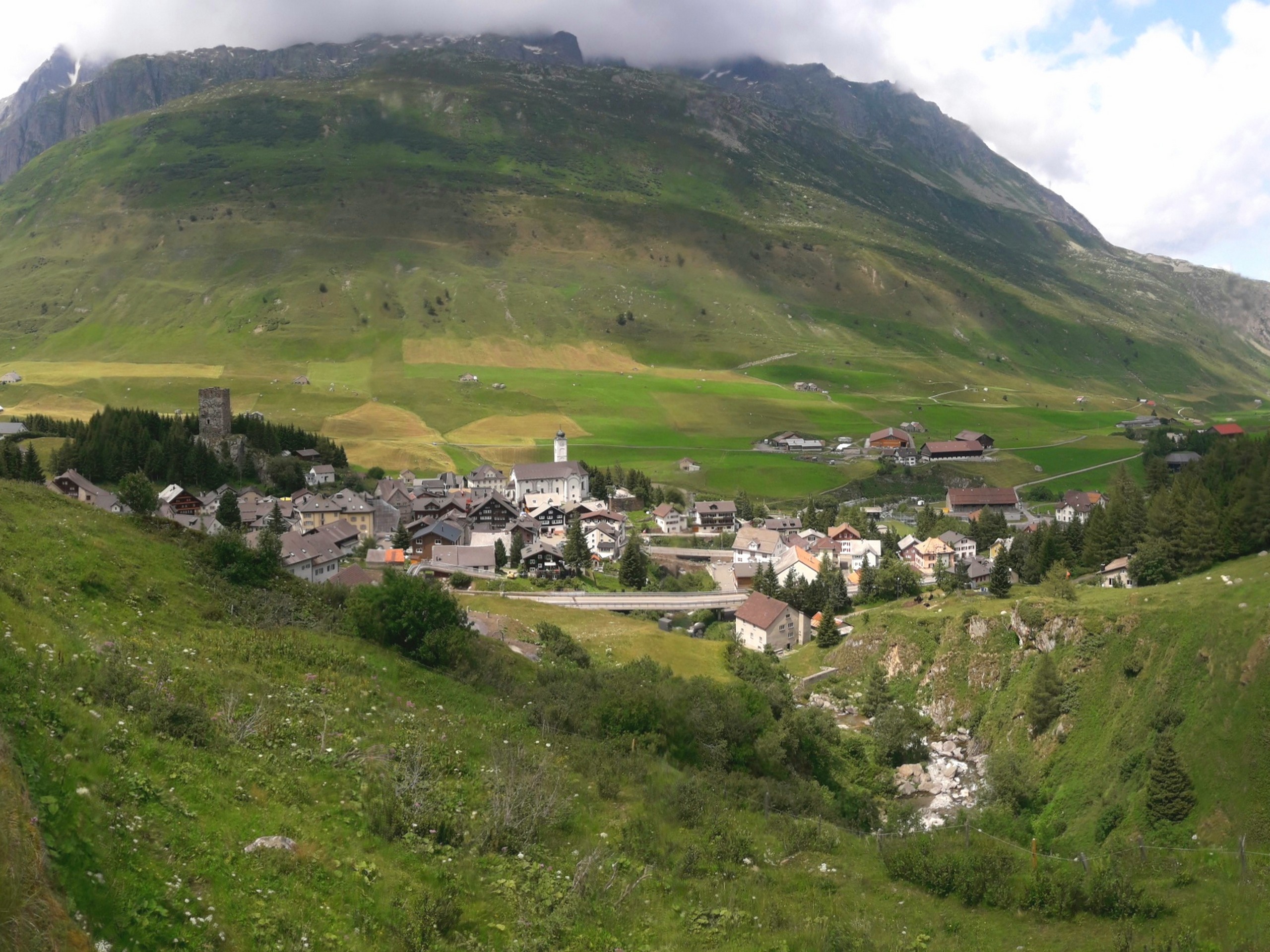
The few buildings of the town are situated beside a small lake. Hike along the road on the east side of the lake heading northward. The trail starts on the right side of the road and goes through the valley alongside Gotthardstrasse. There are points when the trail crosses the road.
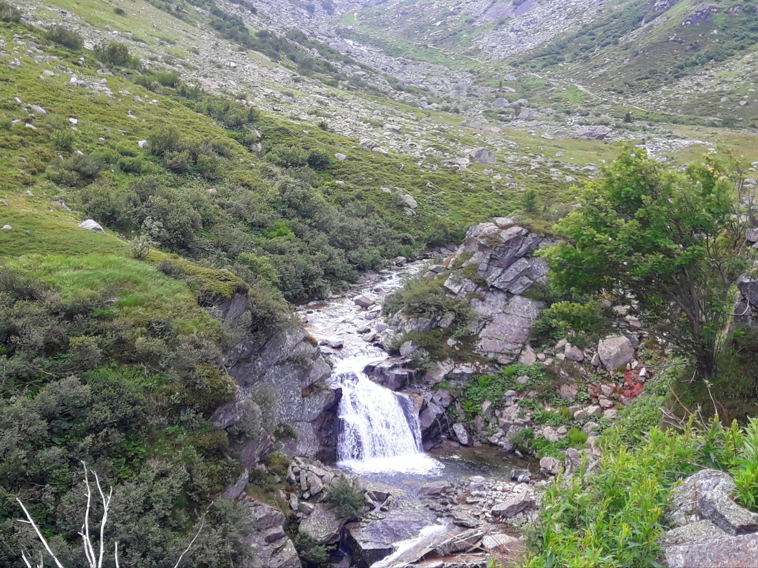
There are several stream crossings, usually with rock steps to keep you dry. In the middle of the hike (3.0mi from start) the trail will have an exit onto the Gotthardstrasse (Gotthard road) near the Chicco d’Oro restaurant, which is excellent. From the restaurant, cross the road and return to the trail as it continues down the valley until it reaches Hospental. Continue to the train station, referencing the GPS track if needed.
Insider Hints
The route as described is all downhill. If you fancy a more challenging workout, just do it in reverse.
The Chicco d’Oro restaurant is a fabulous stop for lunch as you hike.
Similar hikes to the Gotthard Pass to Hospental hike
Matterhorn Glacier Trail
The Matterhorn Glacier Trail (Nr. 26) takes you close to the Furgg Glacier and right beside the east flank of…
Eiger Trail
The Eiger Trail skirts the north face of one of the most iconic mountains in Europe. The hike is relatively…
Edelweiss Refuge Loop
Zermatt is an area strewn with hiking trails that intersect on well signposted routes. This hike can be altered depending…
Comments