Fontanet to Les Ruinettes
View Photos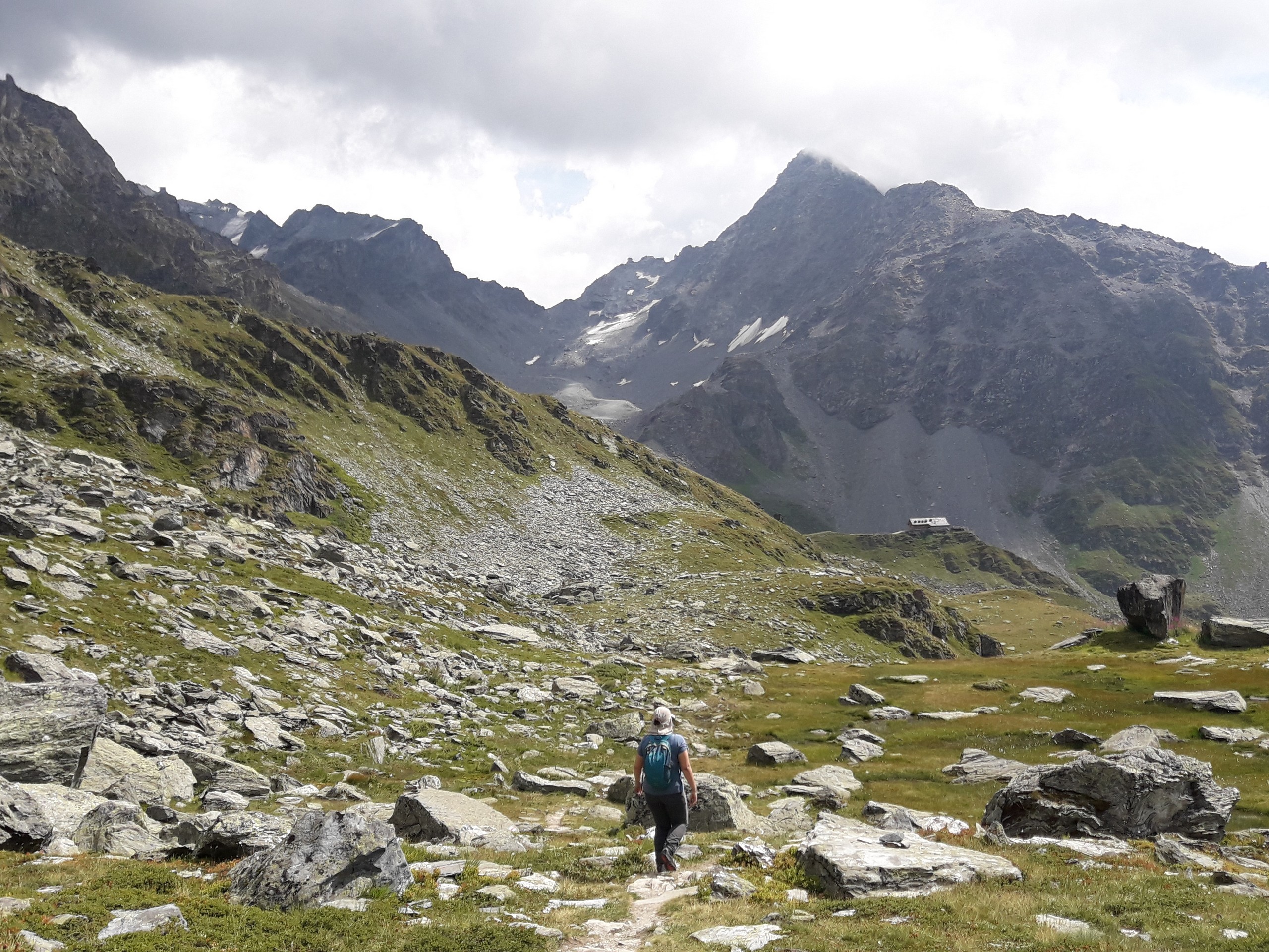
Fontanet to Les Ruinettes
Difficulty Rating:
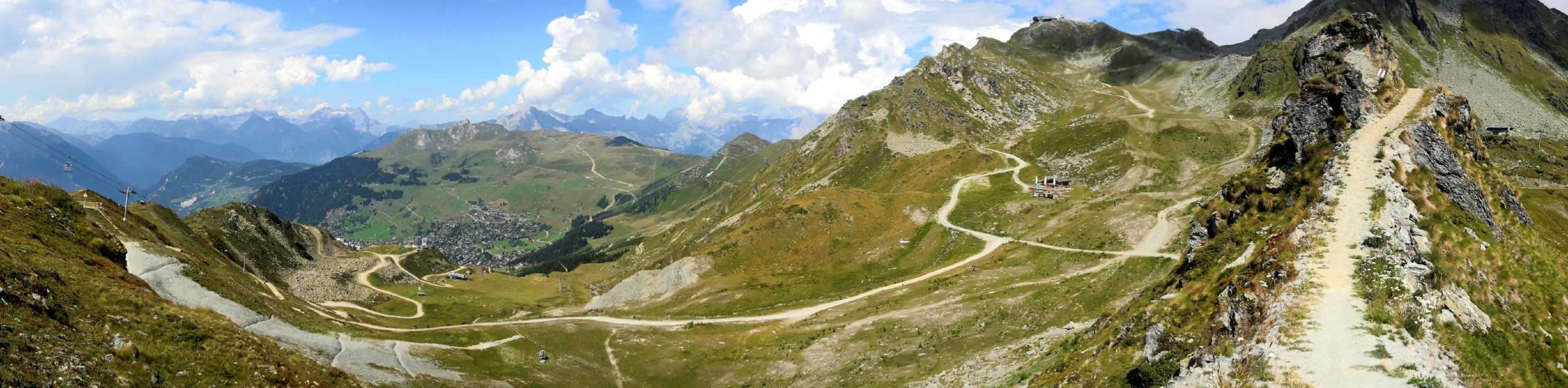
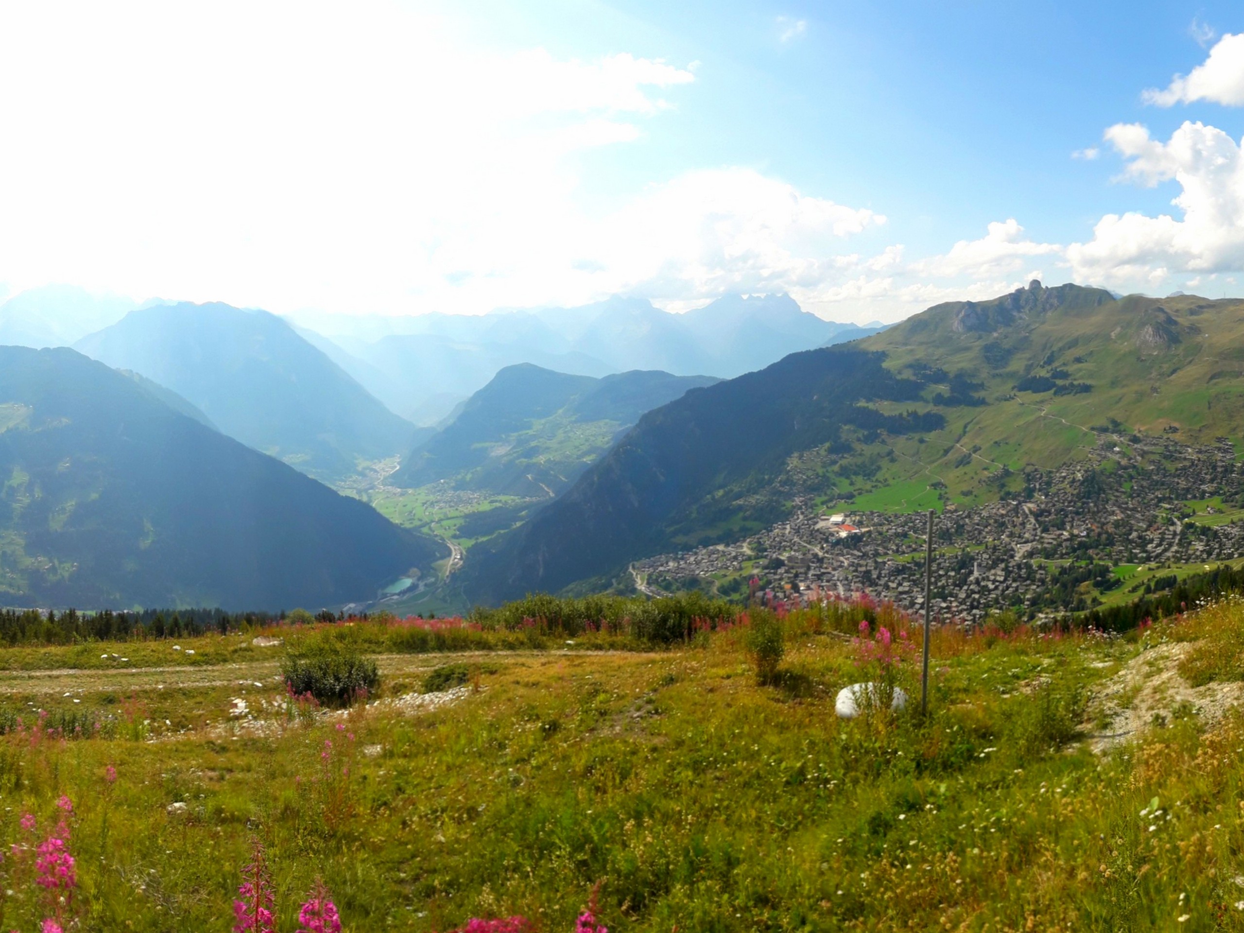
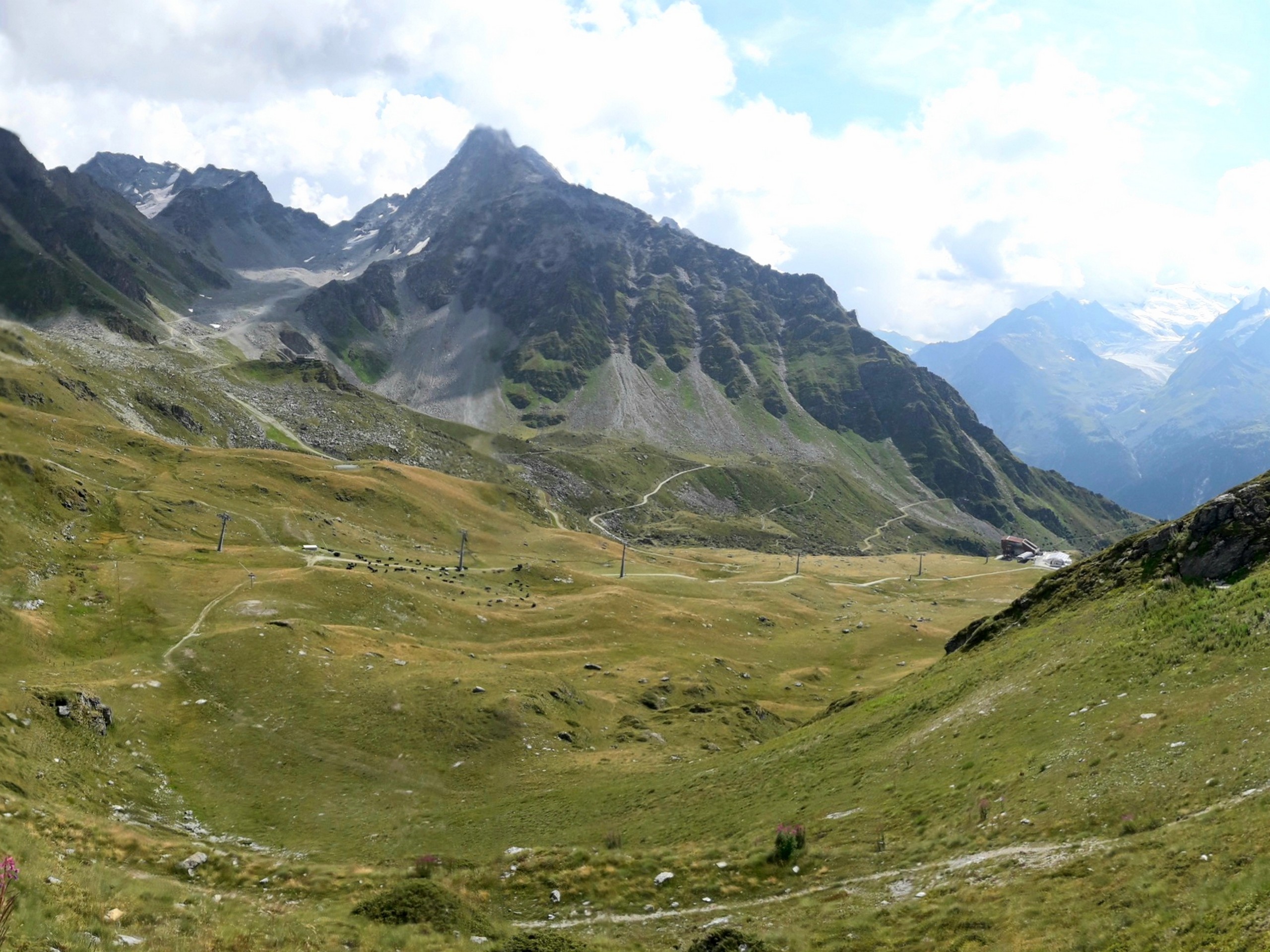
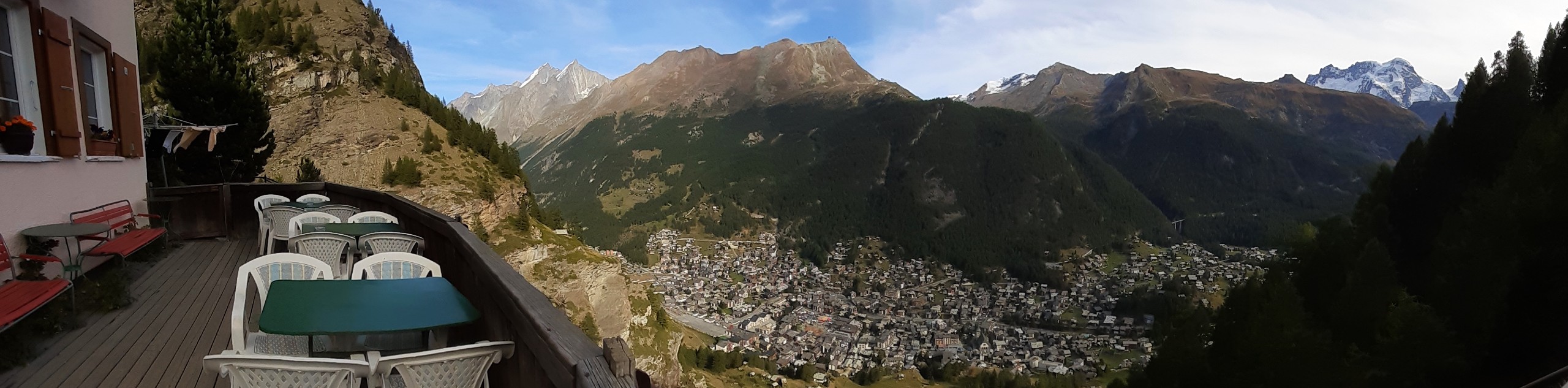
The Fontanet to Les Ruinettes trail takes you through beautiful paths above Verbier village, which is famous for skiing and its bike park. The trail is accessed by lifts and meanders down to Les Ruinettes. The view is spectacular and the walk is easy enough to just enjoy the scenery.
Getting there
Verbier village is in the canton of Valais, and it can be reached by car from Lausanne, a 60.3mi drive. Several parking facilities are available in the village, including Route de Verbier Station 63 parking. Take a walk to the Verbier Bike Park lift station and get a lift ticket to Fontanet with a descending ticket from Les Ruinettes.

About
| When to do | July to October |
| Backcountry Campsites | No |
| Pets allowed | No |
| Family friendly | Older Children only |
| Route Signage | Poor |
| Crowd Levels | Low |
| Route Type | One Way |
Fontanet to Les Ruinettes
Elevation Graph
Weather
Route Description for Fontanet to Les Ruinettes
Contact Verbier Bike Park or visit their webpage to be sure the lifts are operating on the day you will hike, as the lift-accessed walking trails are usually open only during the summer season.
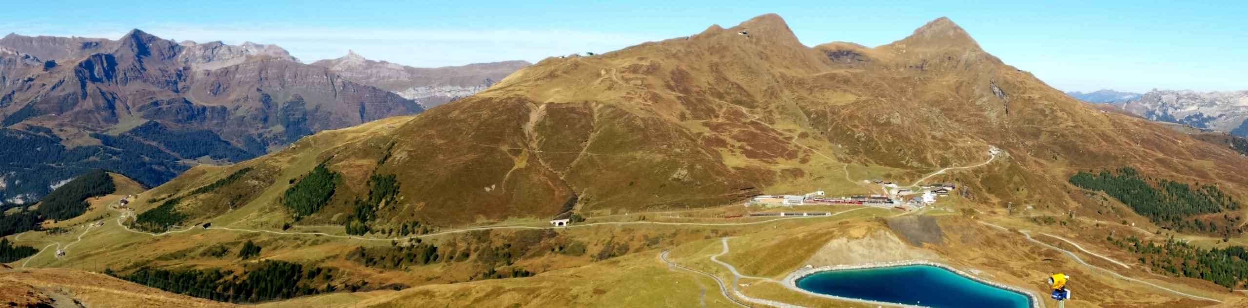
This hike starts with a gondola lift to Les Ruinettes station (7218ft) followed by a chairlift to Fontanet station (8143ft). The hike will end back at Les Ruinettes station, which you must reach before the last descending gondola trip (around 5pm, check before ascending).
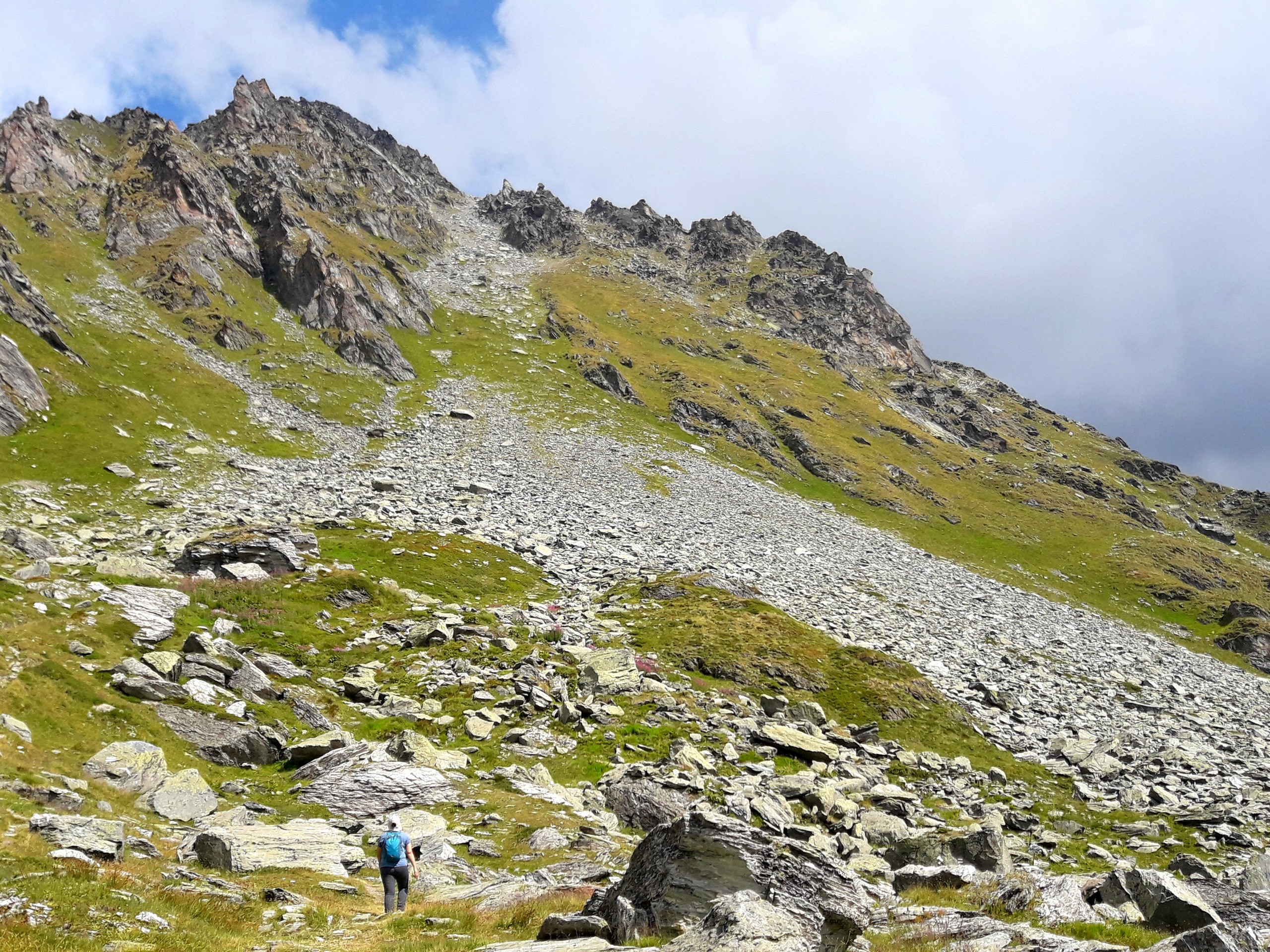
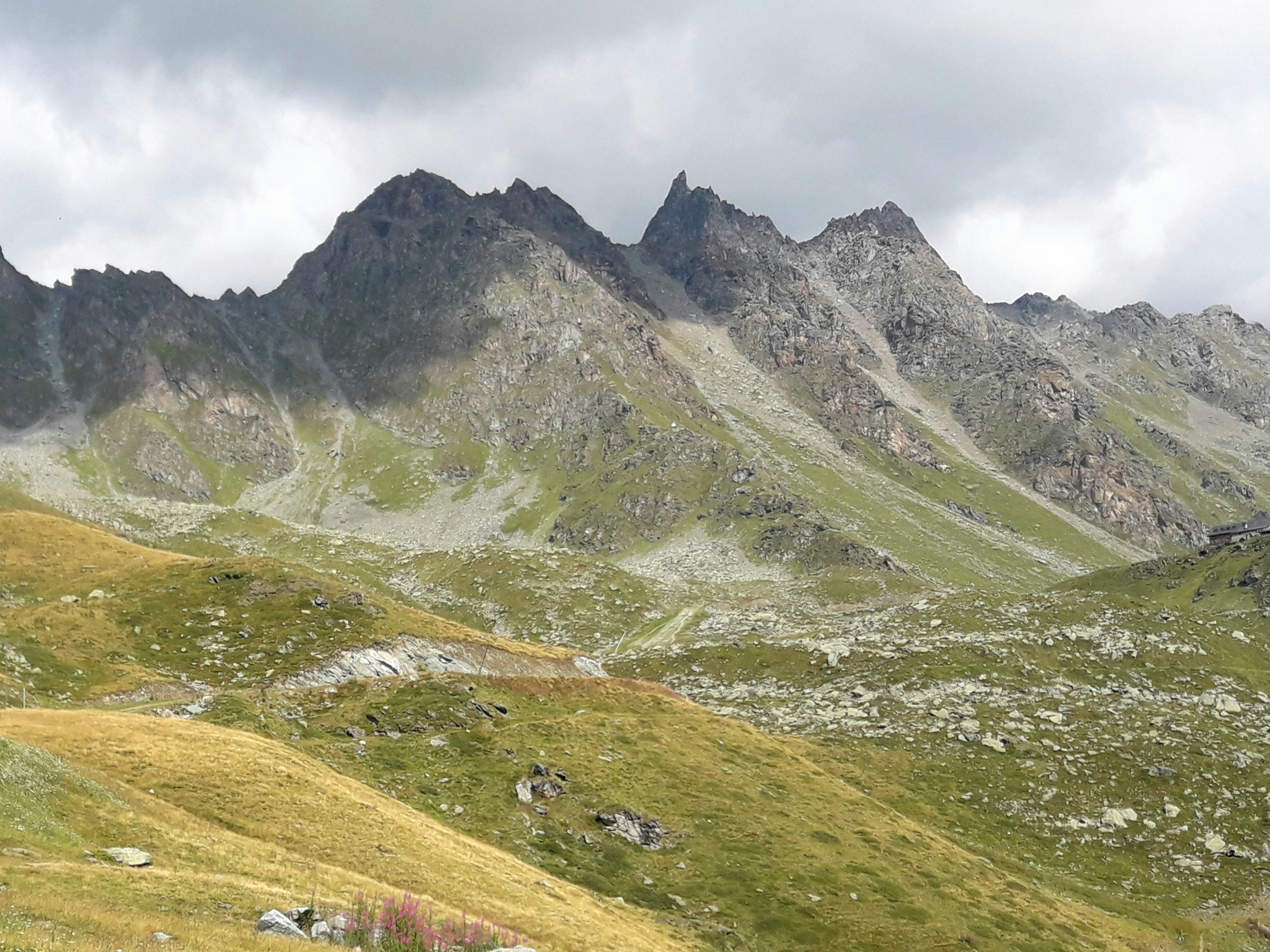
The trail surface is mostly crushed rock and dirt, but a few sections are very rocky so wear solid boots. The trail starts with a wonderful view of surrounding summits as soon as you get off the lift station. You’ll head northeast, then turns southeast after 2297ft.
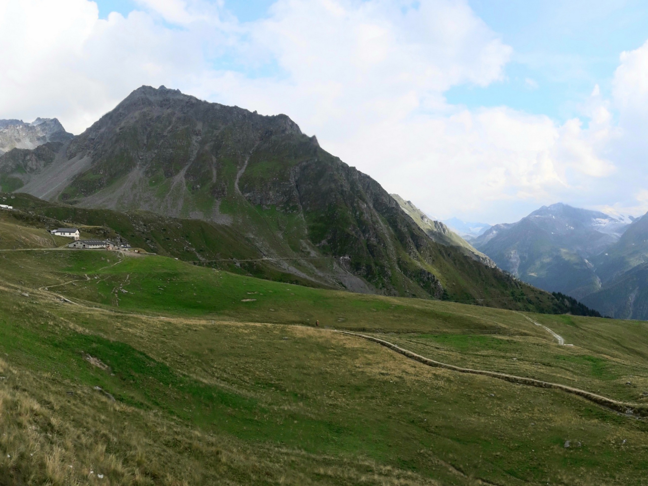
Some of the trail junctions are a bit confusing, so check your GPS every time you pass a fork. At 1.2mi from the start, you will encounter the Cabane de Montfort (8061ft) on top of a ridge. The Cabane de Montfort has a restaurant and lodging facilities if you fancy a snack or a stay.
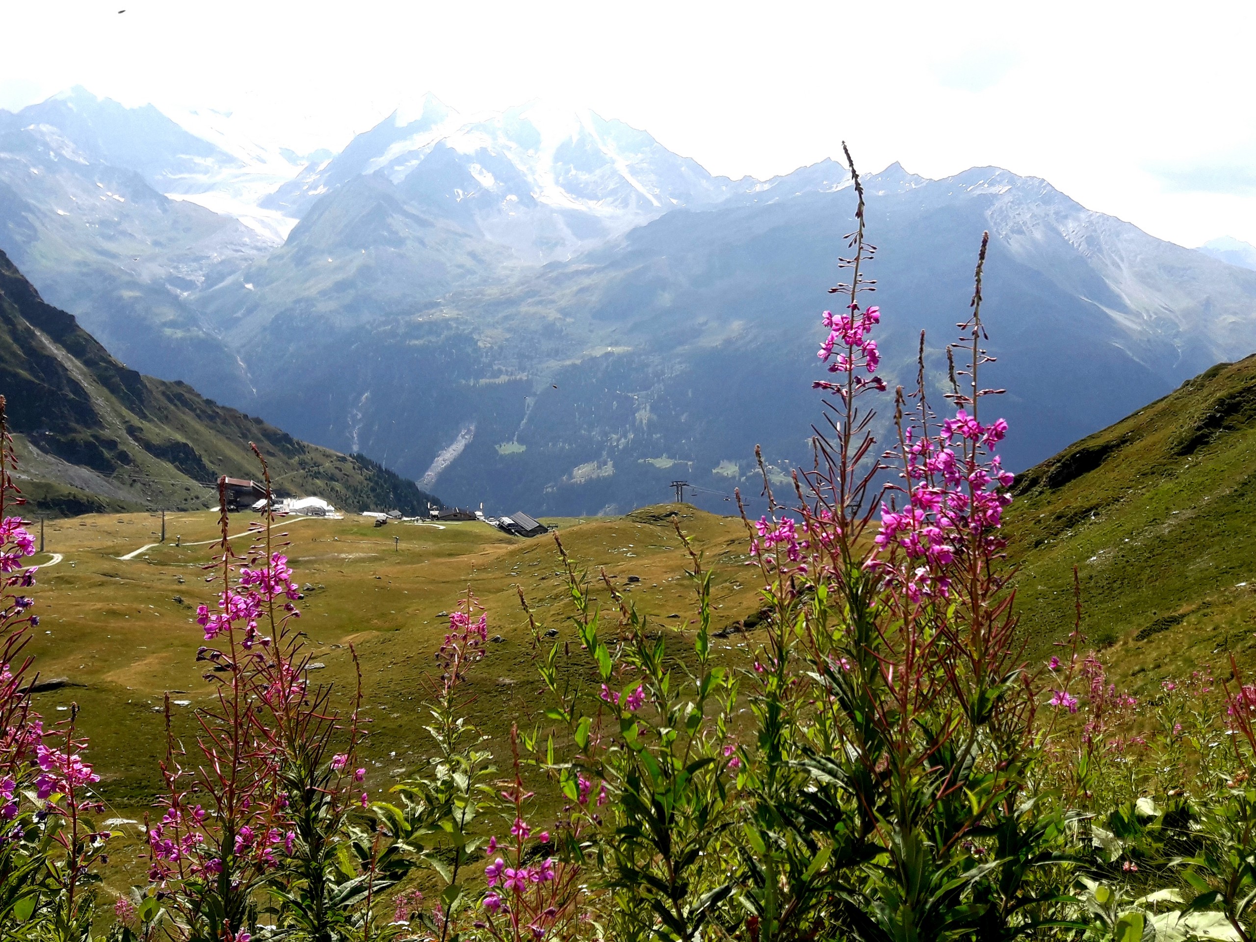
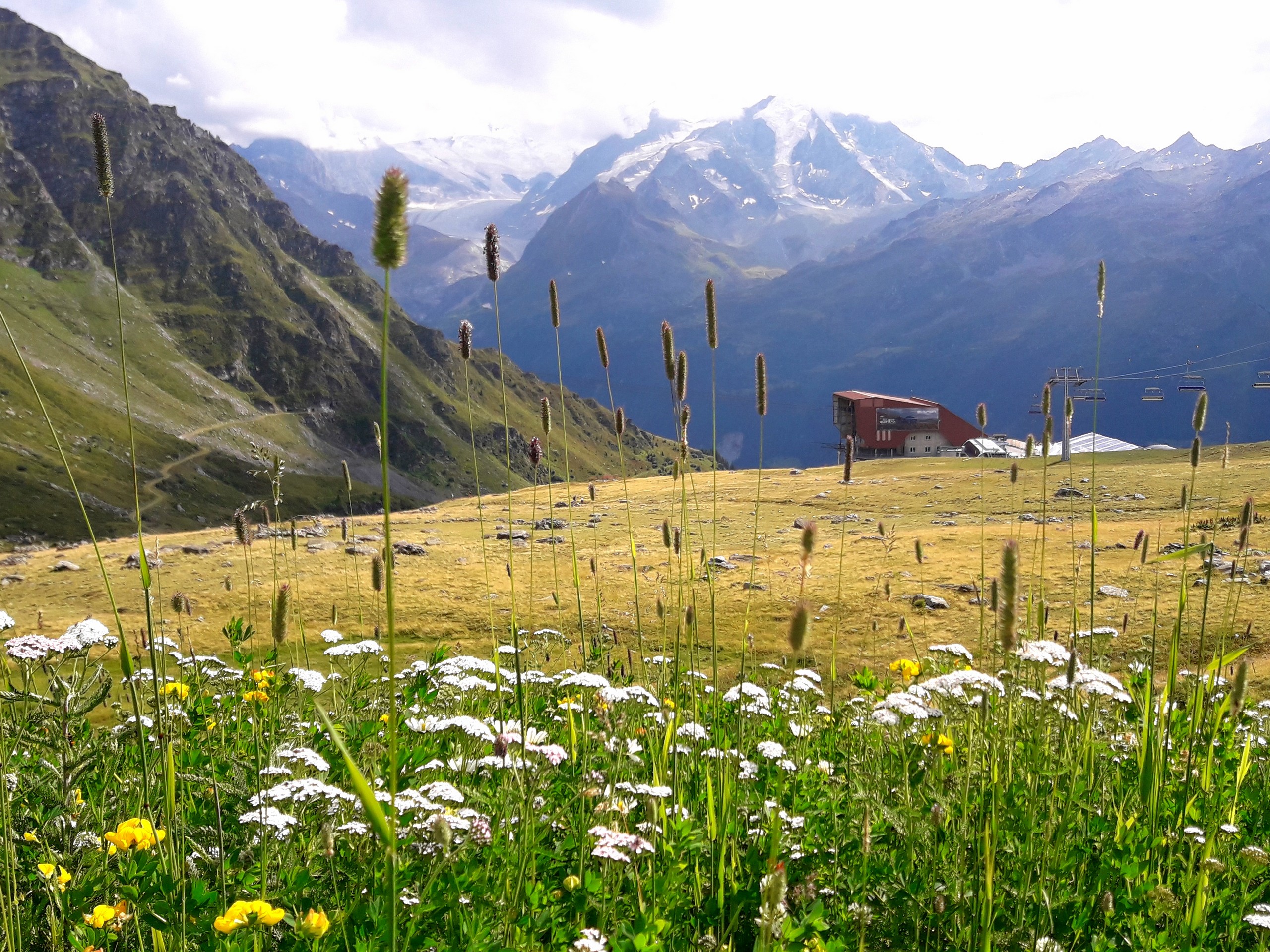
From Cabane de Montfort, the trail continues about 0.6mi to La Chaux lift station which is adjacent to Le Dahu restaurant. From La Chaux, the trail continues 1.2mi to Les Ruinettes.
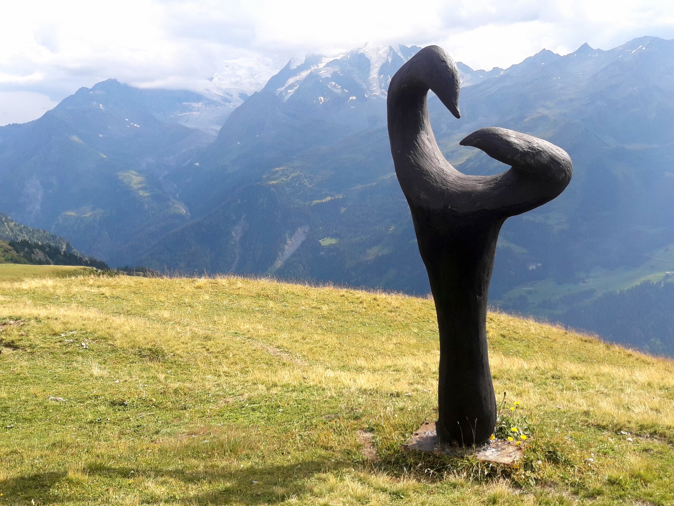
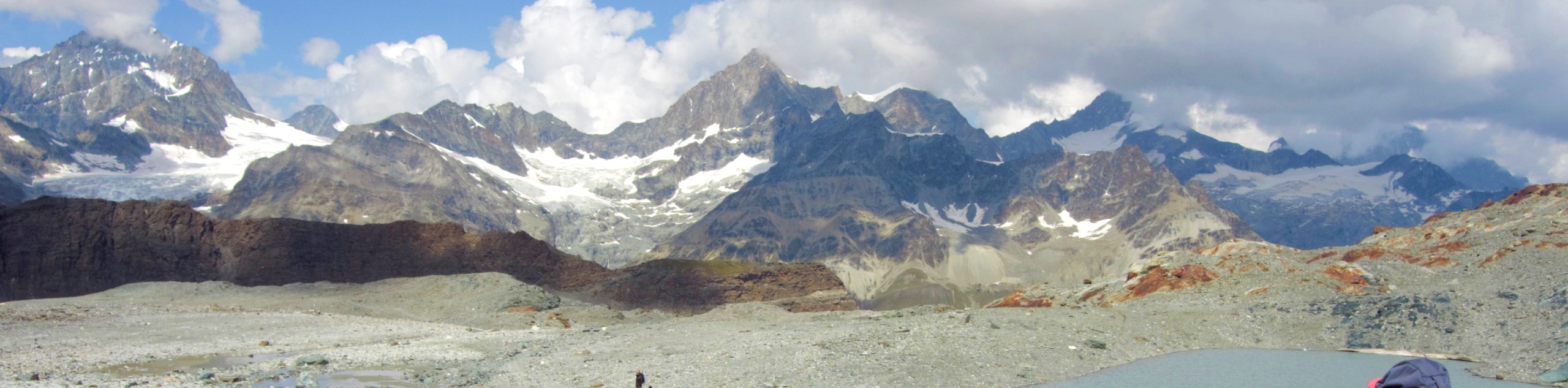
In between La Chaux and Les Ruinettes, you will find sculptures by the side of the trail. Along the trail you will see the summits of Mt Gele (9918ft), Mont Fort (10922ft), Bec des Rosses (10571ft), and Pierre Avoi (8114ft). Take plenty of photos!
If you visit in summer, Verbier offers other hiking destinations such as Pierre Avoi, or downhill and enduro biking trails for which they actually have the largest network in Switzerland. There are also kick scooters (trotinettes) that can be rented at the lift station for downhill riding.
Insider Hints
If you’re keen to ride, bring a bike for the Verbier Bike Park.
Make sure you plan to finish your hike in plenty of time to descend via the lift.
Similar hikes to the Fontanet to Les Ruinettes hike
Matterhorn Glacier Trail
The Matterhorn Glacier Trail (Nr. 26) takes you close to the Furgg Glacier and right beside the east flank of…
Eiger Trail
The Eiger Trail skirts the north face of one of the most iconic mountains in Europe. The hike is relatively…
Edelweiss Refuge Loop
Zermatt is an area strewn with hiking trails that intersect on well signposted routes. This hike can be altered depending…
Comments