Arolla Glacier Trail
View Photos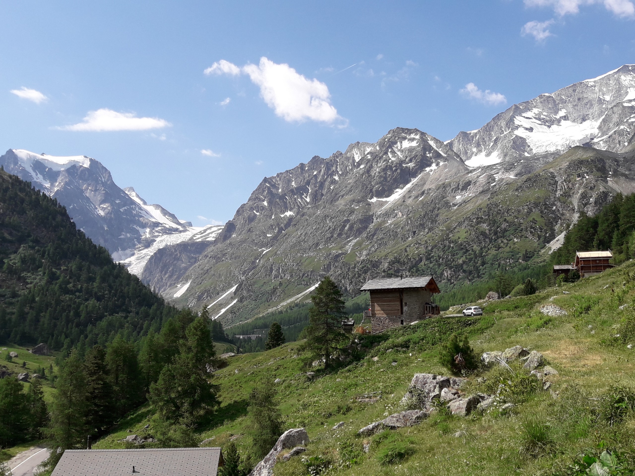

Arolla Glacier Trail
Difficulty Rating:
The Arolla Glacier Trail takes you to a viewpoint overlooking the glacier and surrounding mountains. The hike is easy enough for any reasonably fit person and even in summer there are no crowds in this relatively remote valley.
Getting there
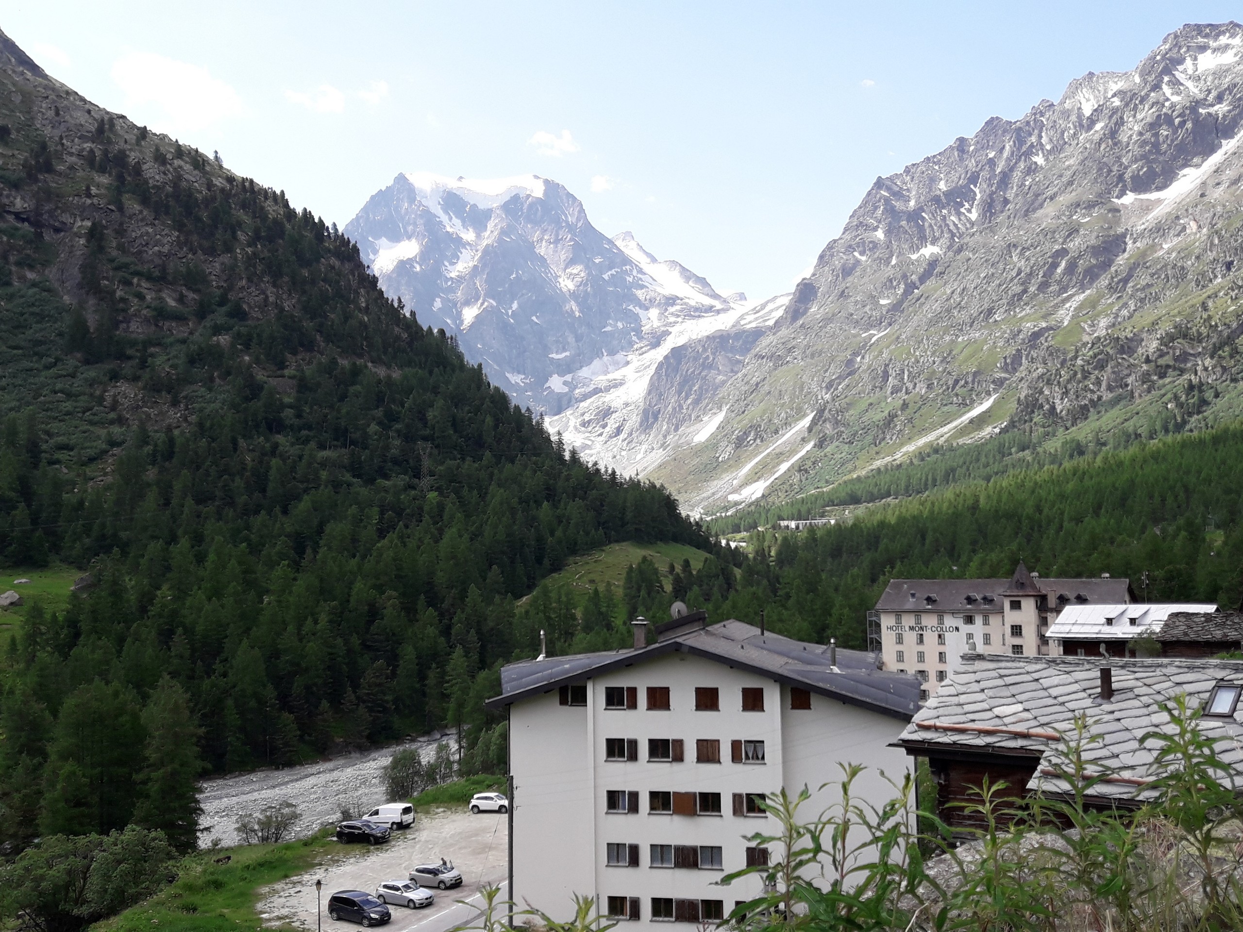
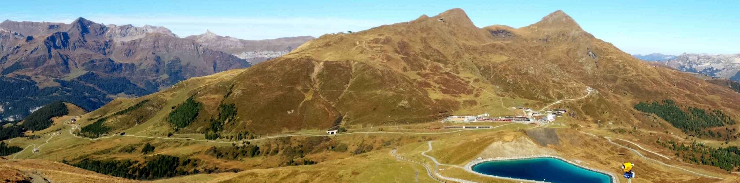
From Lausanne, take a train to Sion, then take a bus to Les Hauderes. From here, take a bus to Arolla. The entire trip takes about two and a half hours. Arolla is most accessible in summer as the roads to this village may be hard to drive to in winter. Driving to Arolla from Lausanne takes about two hours.

About
| When to do | June to September |
| Backcountry Campsites | Camp Arolla |
| Pets allowed | Yes |
| Family friendly | Older Children only |
| Route Signage | Poor |
| Crowd Levels | Moderate |
| Route Type | Out and back |
Arolla Glacier Trail
Elevation Graph
Weather
Route Description for Arolla Glacier Trail
The Arolla Glacier Trail is relatively easy, but as with any mountain hike, be prepared for sudden changes in weather. The trail becomes very rocky at the higher altitudes so wear appropriate footwear. Do not take any trail adjacent to the river, as the dam upstream releases water unpredictably which can cause the water level to rise very fast.
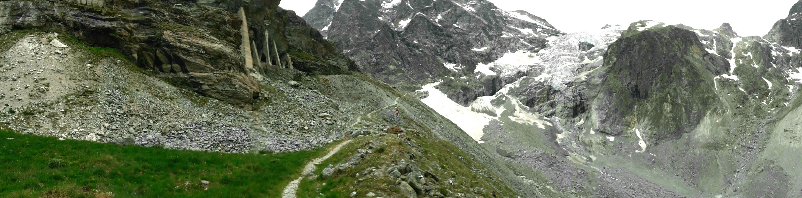
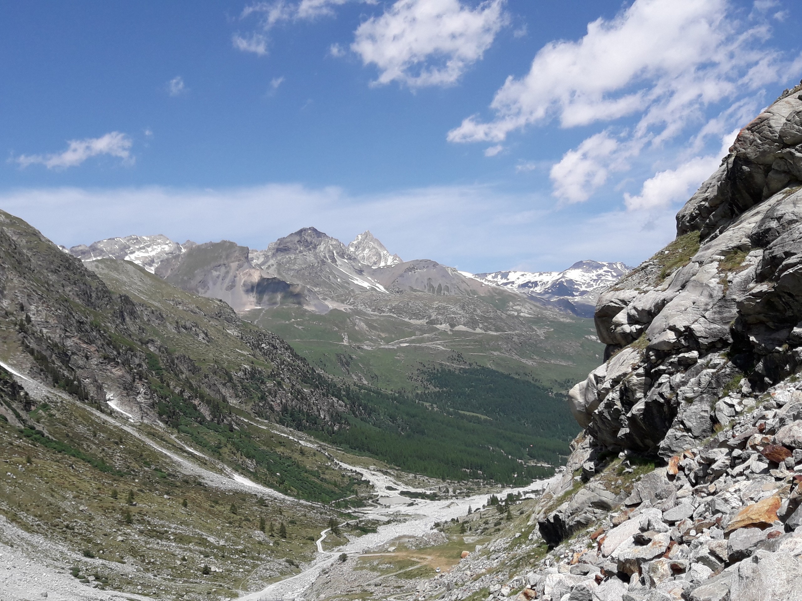
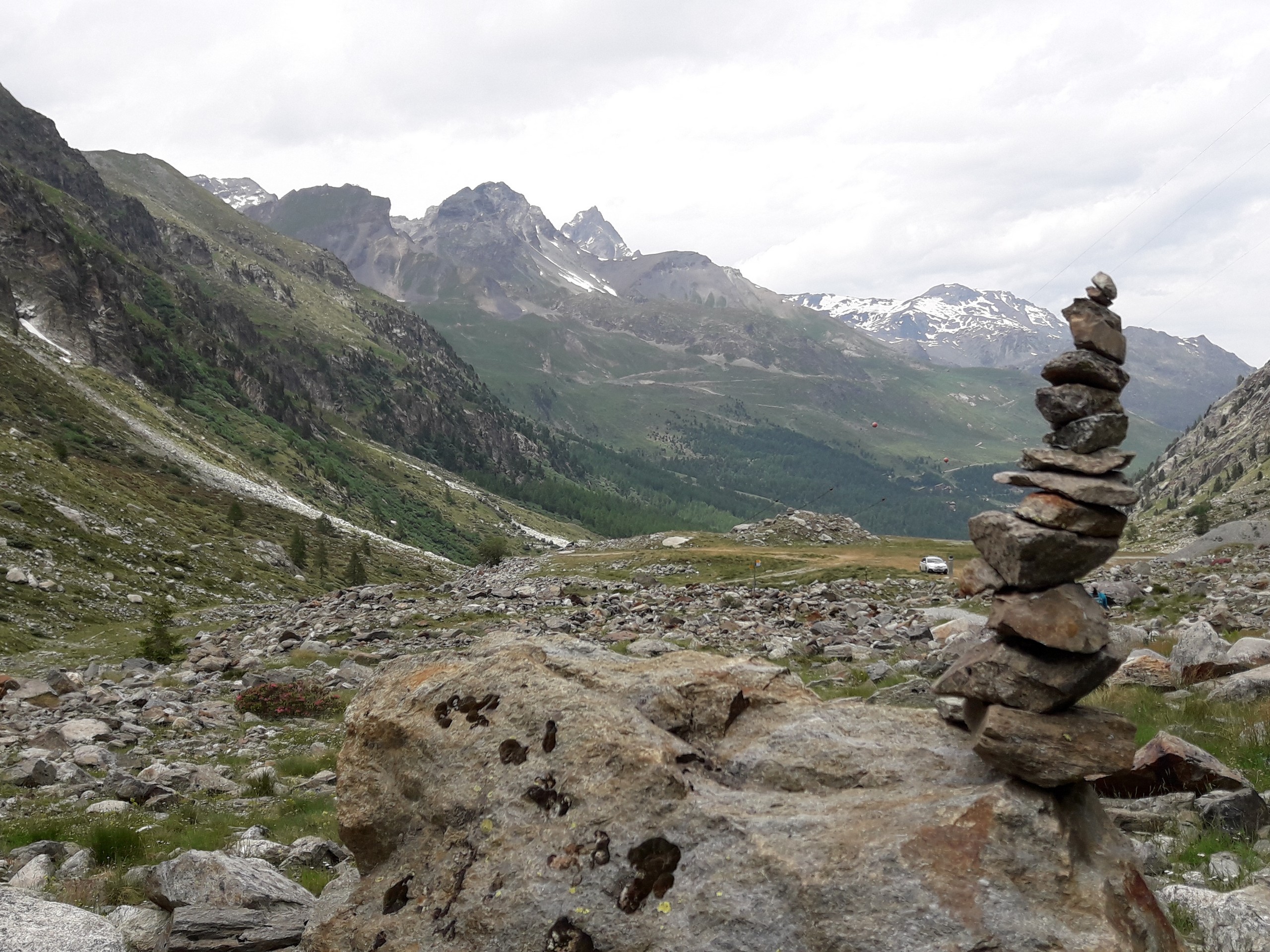
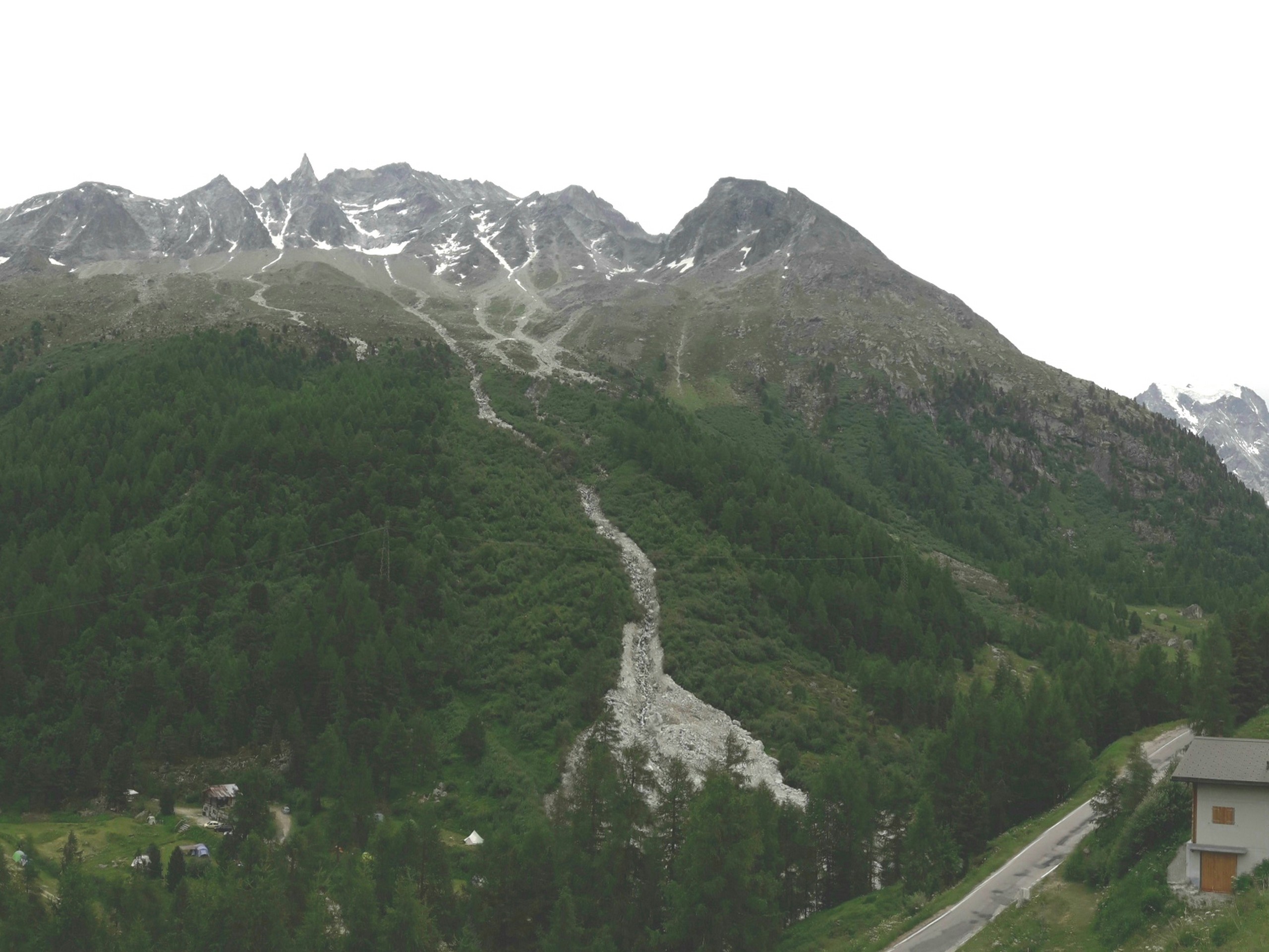
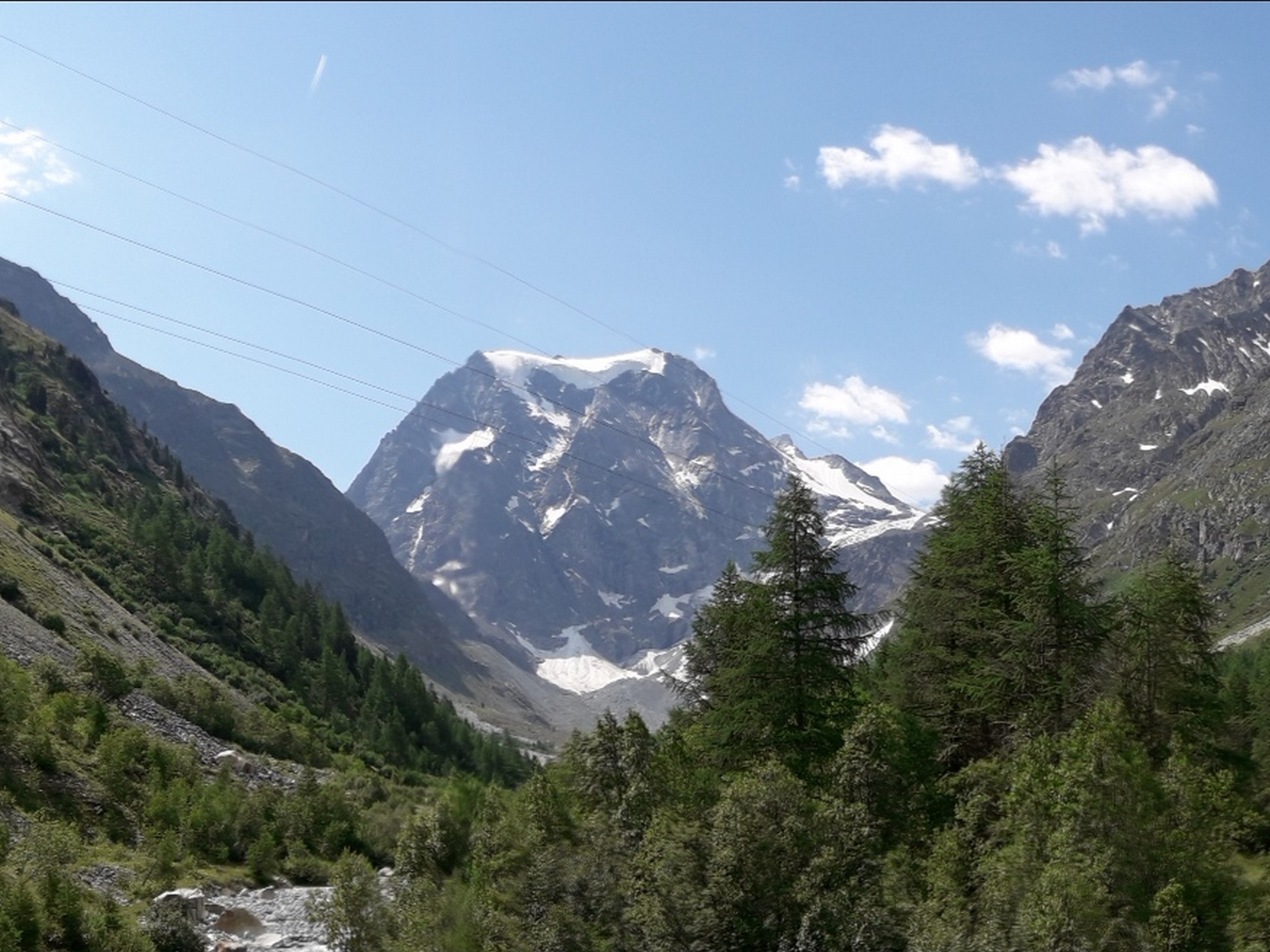
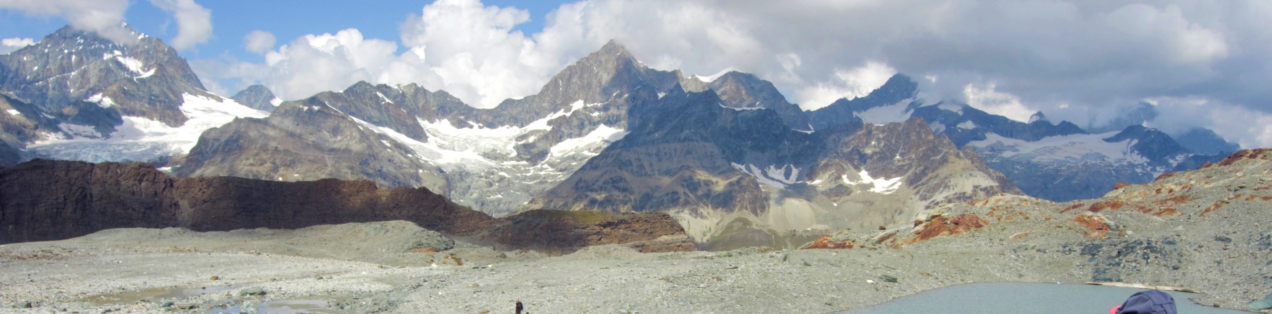
From Camp Arolla, you will see Mount L’Eveque and Glacier d’Arolla to the south. Cross the bridge from Camp Arolla, then take the trail on the other end that climbs up and veers to the left heading south along the valley. The trail will eventually join the road.
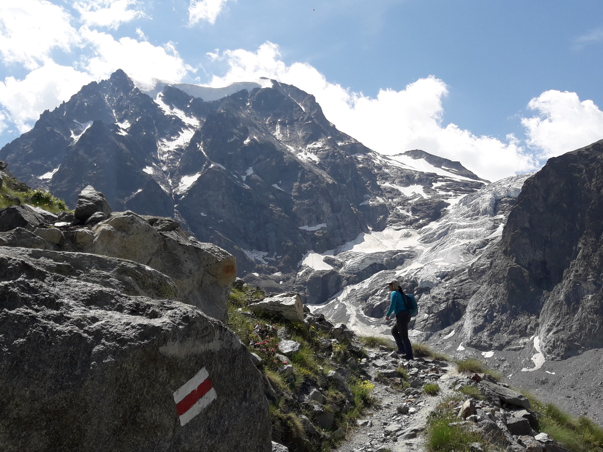
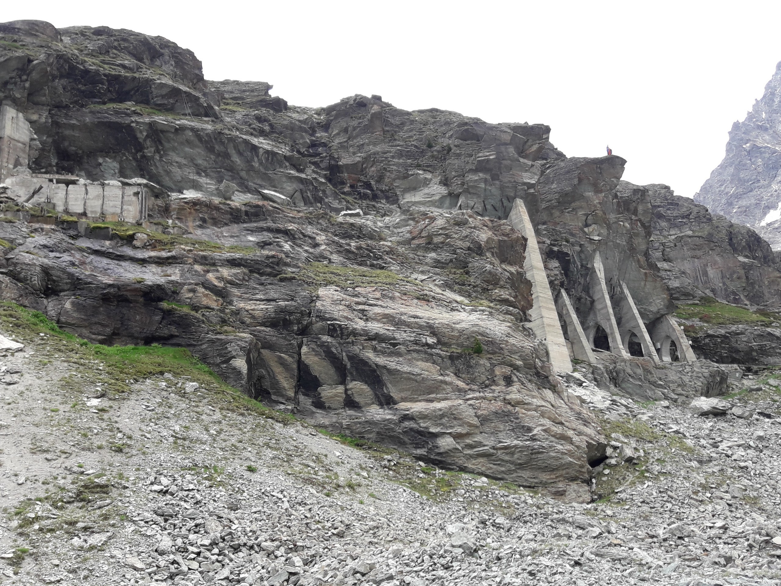
As you walk up the road, you will eventually come to a bridge that crosses the river near a small dam. Past the bridge, the road ends. Continue up the valley along a rocky footpath marked with white-red-white symbols painted on rocks.
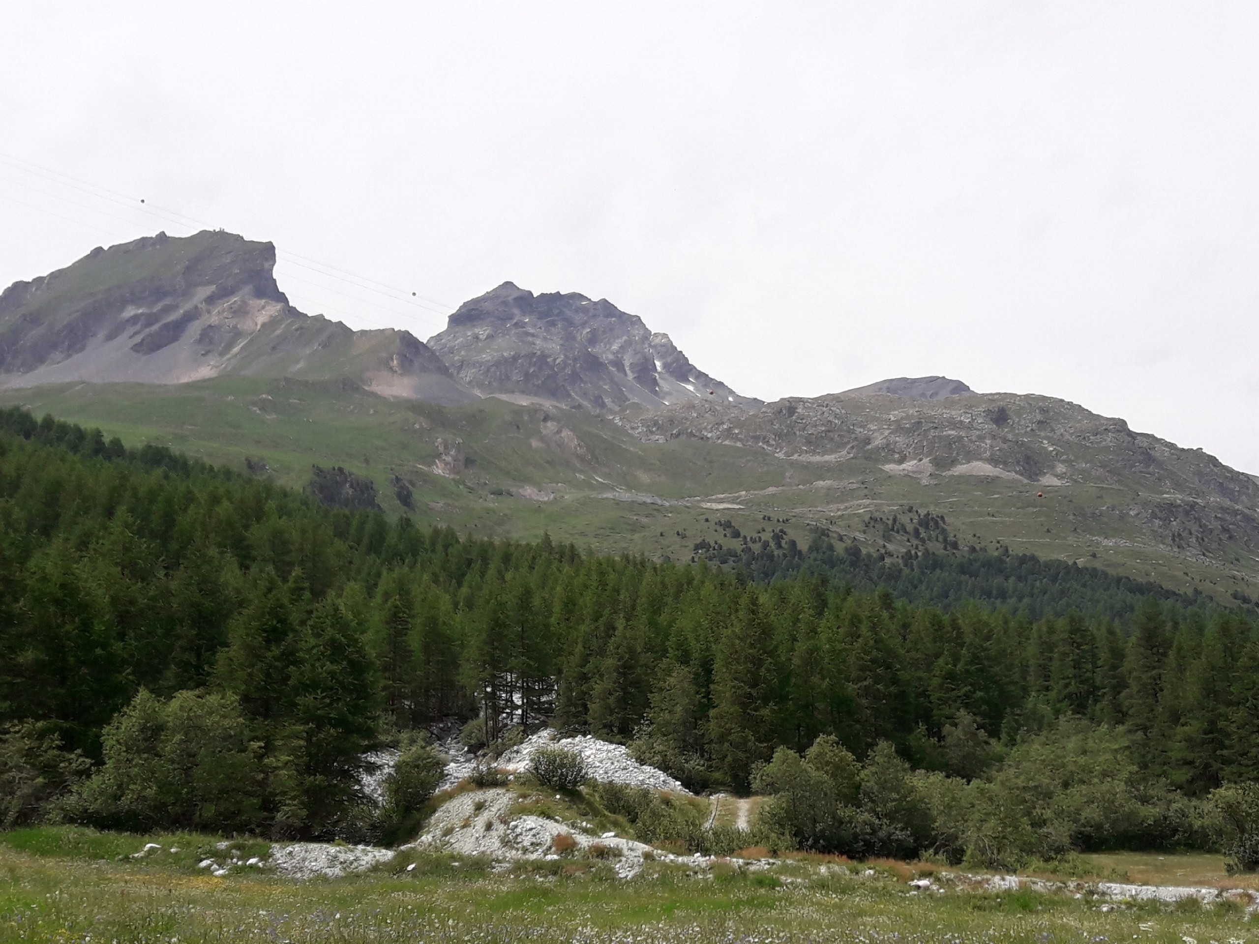
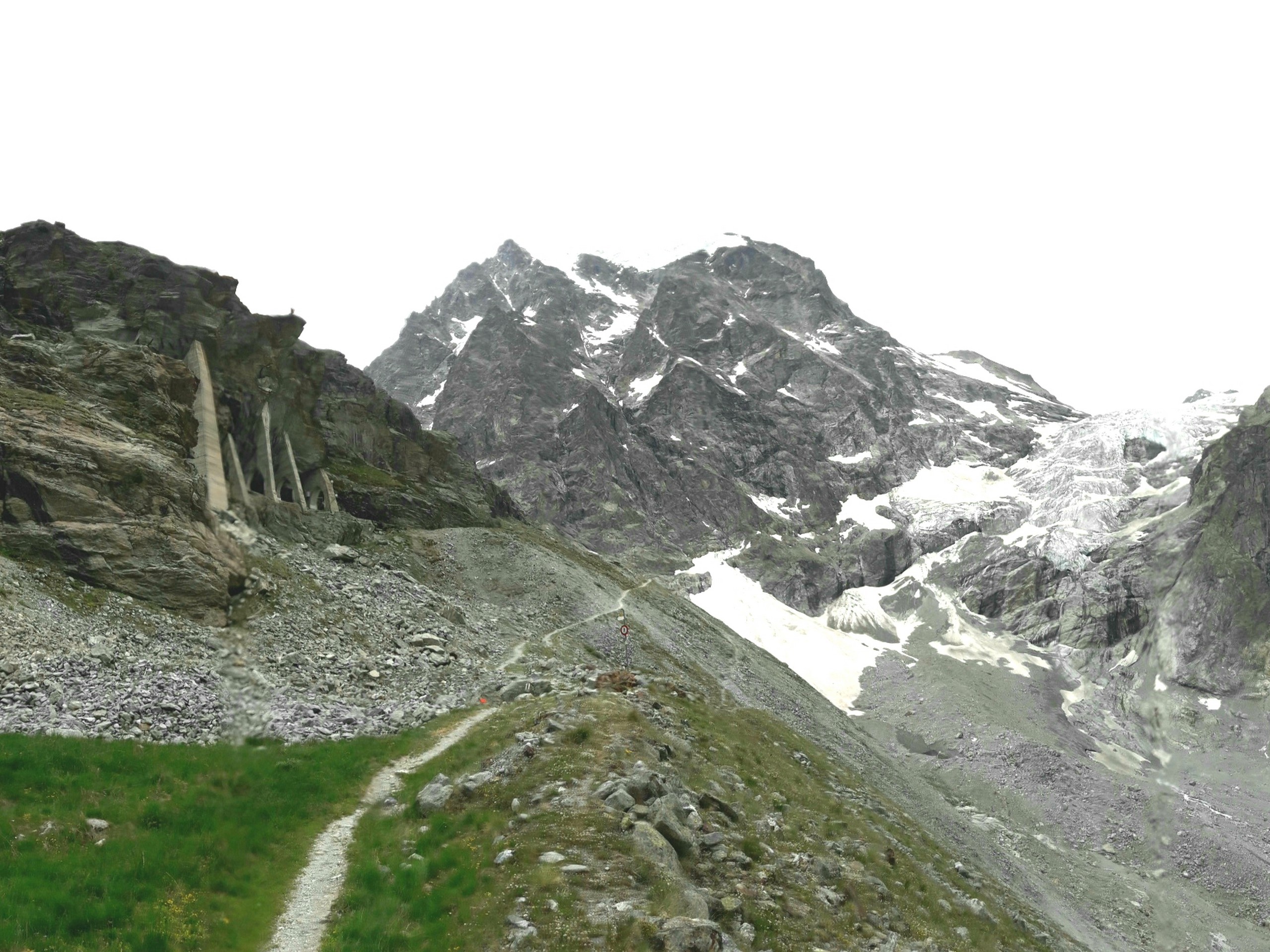
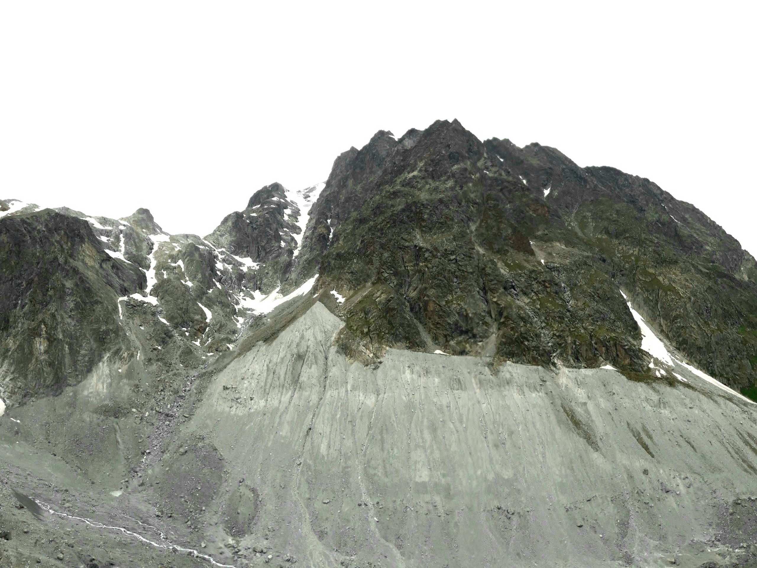
The trail will zig zag upwards and southwards on the flanks of Mount La May. As you gain elevation, you will come across a bench by the trail. A few meters past the bench, the trail is cut by a big, rocky gully.
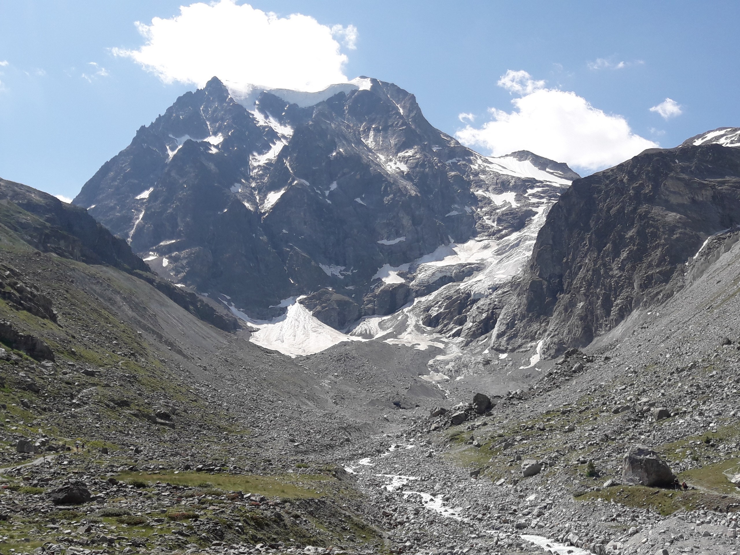
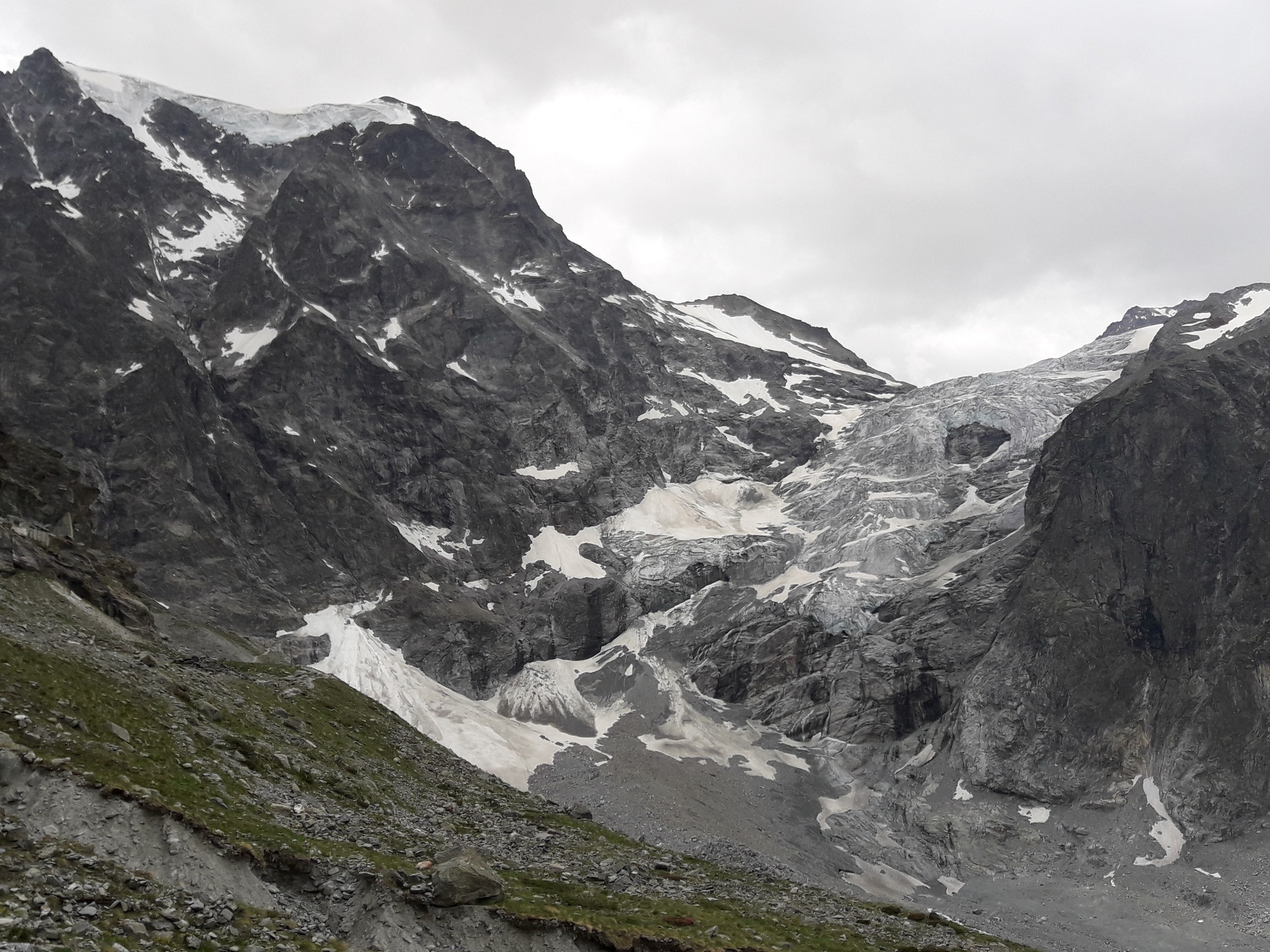
Cross the gully carefully and continue the trail on the other side. About a hundred meters past the gully, you will come across a marker with pictures of the glacier. At this point you’ll have a good view of the Glacier d’Arolla. The highest summits in view are L’ Eveque (12192ft) to the south, La Sengla (12185ft) to the southwest, and Pigne d’Arolla (12454ft) to the west.
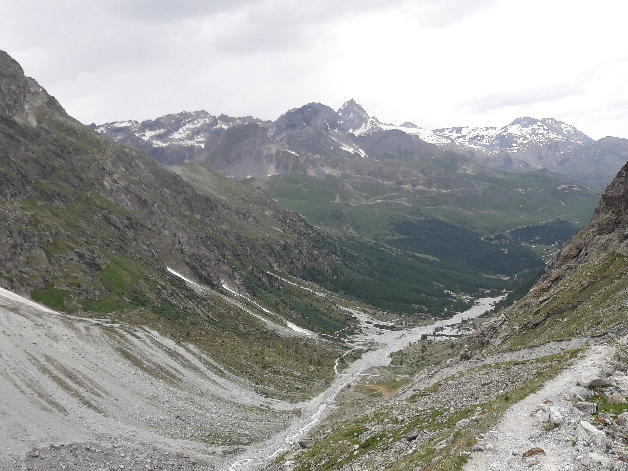
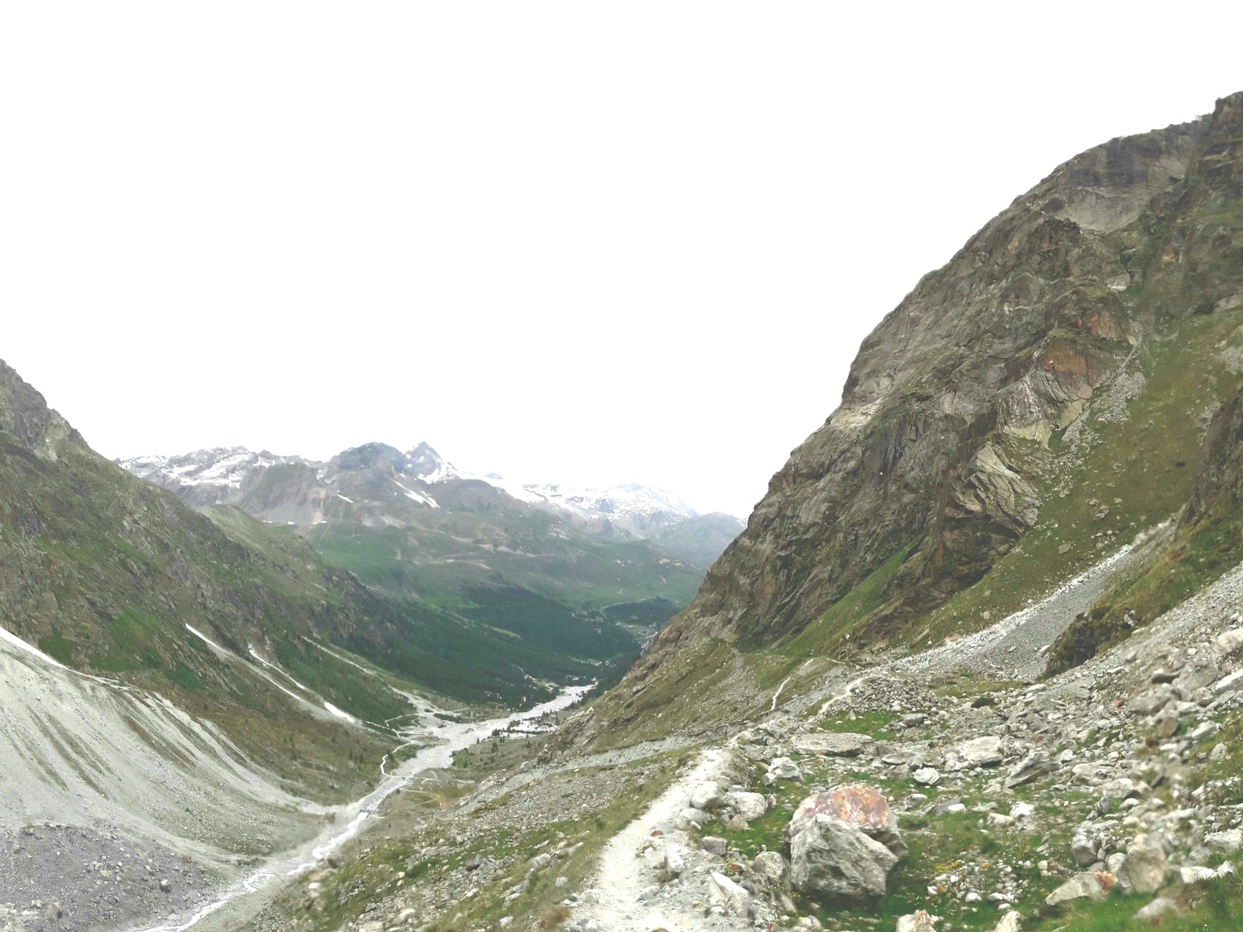
Although the trail continues a bit further, consider this your turnaround point and retrace your path back to Camp Arolla. The return hike provides you with great views down the valley.
As in the earlier warning, avoid any trails that will take you along the river level when below the dam. If in doubt just take the road
Insider Hints
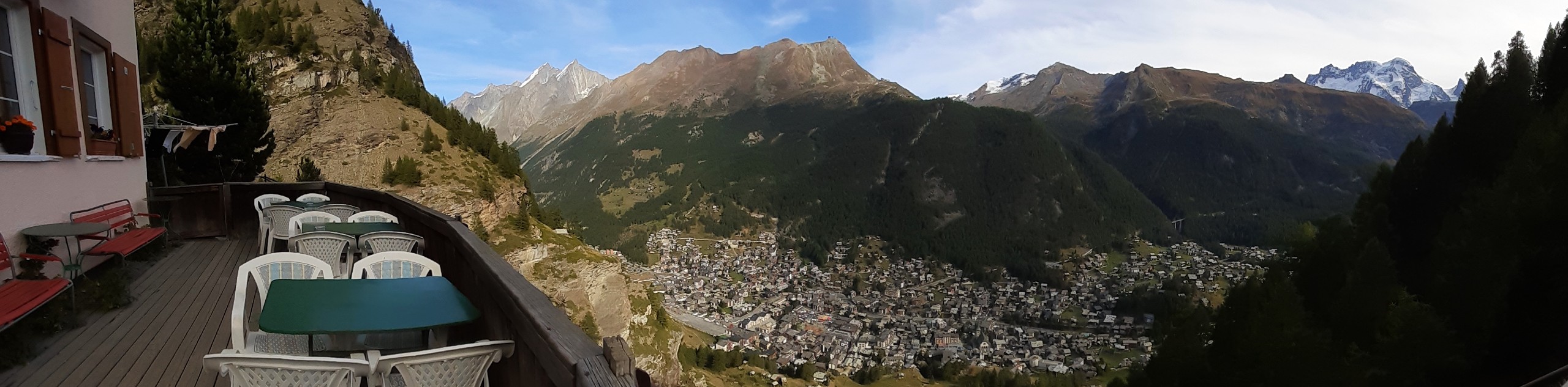
Camp Arolla, which calls itself the highest campsite in Europe at 6398ft, is an ideal jumping off point for the glacier trail. Staying at this camp will let you get an early start to do the glacier trail and other nearby hikes.
There is a restaurant near Camp Arolla if you’re hungry on your hike.
If you fancy an easy hike, there is a trail to Lac Bleu which offers a family friendly excursion.
Similar hikes to the Arolla Glacier Trail hike
Matterhorn Glacier Trail
The Matterhorn Glacier Trail (Nr. 26) takes you close to the Furgg Glacier and right beside the east flank of…
Eiger Trail
The Eiger Trail skirts the north face of one of the most iconic mountains in Europe. The hike is relatively…
Edelweiss Refuge Loop
Zermatt is an area strewn with hiking trails that intersect on well signposted routes. This hike can be altered depending…
Comments