Andermatt to Goschenen
View Photos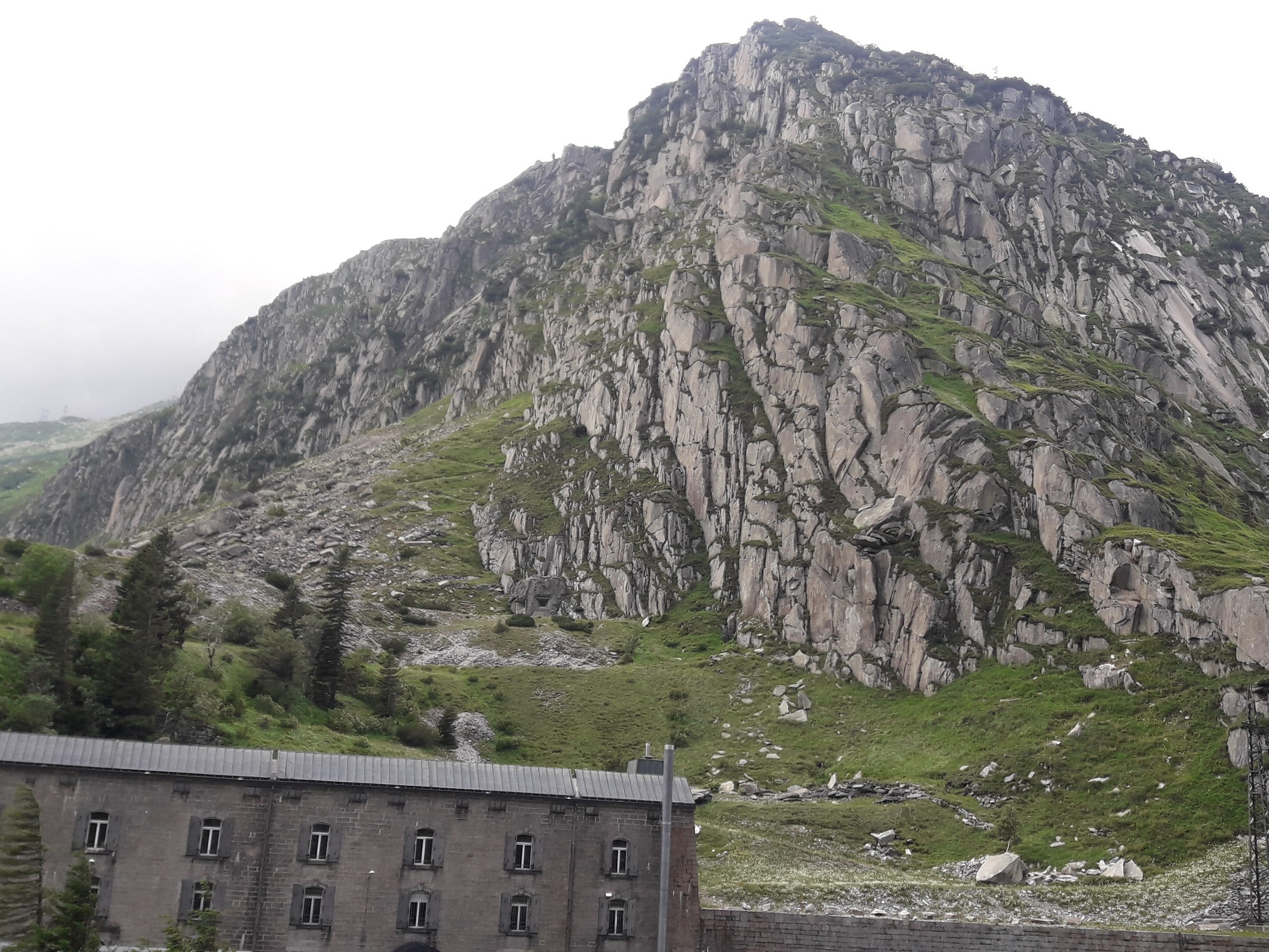
Andermatt to Goschenen
Difficulty Rating:
This route takes you along a pedestrian trail that passes through interesting tunnels and over roadways, adjacent to the Reuss River. You’ll be treated to pleasant views between Andermatt and Goschenen. This is an easy outing if you’re in the area.
Getting there
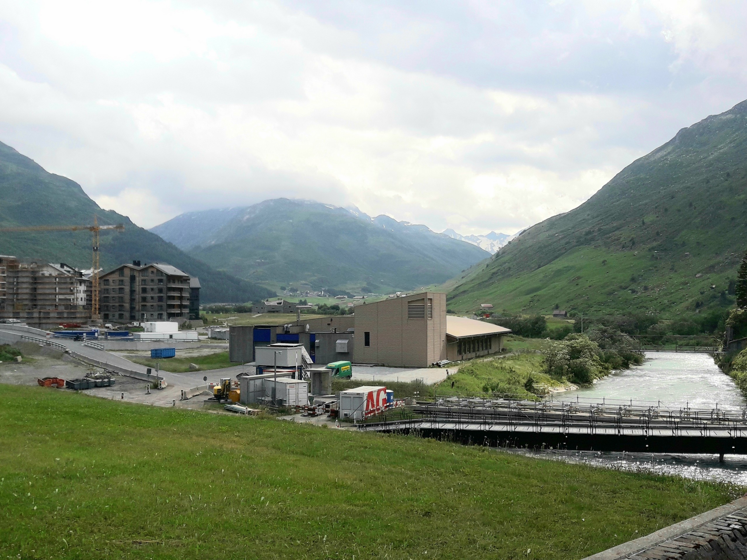
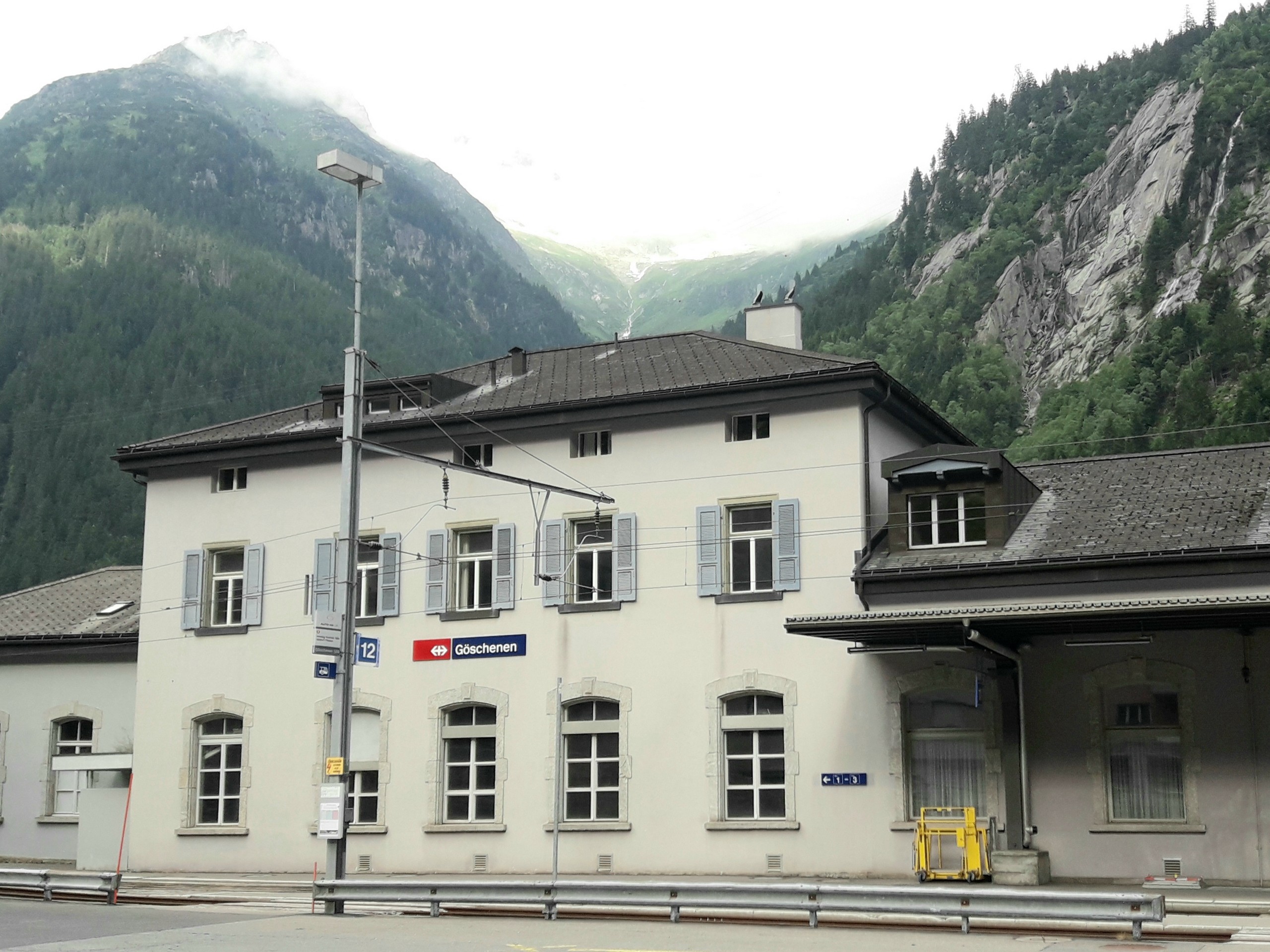
Andermatt is in the Canton of Uri. Andermatt can be reached by train or car from Lausanne (174.0mi) or Zurich (74.6mi). This hike starts from near the Andermatt train station and ends at Goschenen where you can take a train back to Andermatt.

About
| When to do | June to October |
| Backcountry Campsites | No |
| Pets allowed | Yes |
| Family friendly | Older Children only |
| Route Signage | Average |
| Crowd Levels | Low |
| Route Type | One Way |
Andermatt to Goschenen
Elevation Graph
Weather
Route Description for Andermatt to Goschenen
This walk is over easy terrain, you could probably even do it in flip flops if you wish, but comfortable trainers are best. Take note of the train schedule to be sure you can make the return trip from Goschenen by the time you finish the hike.
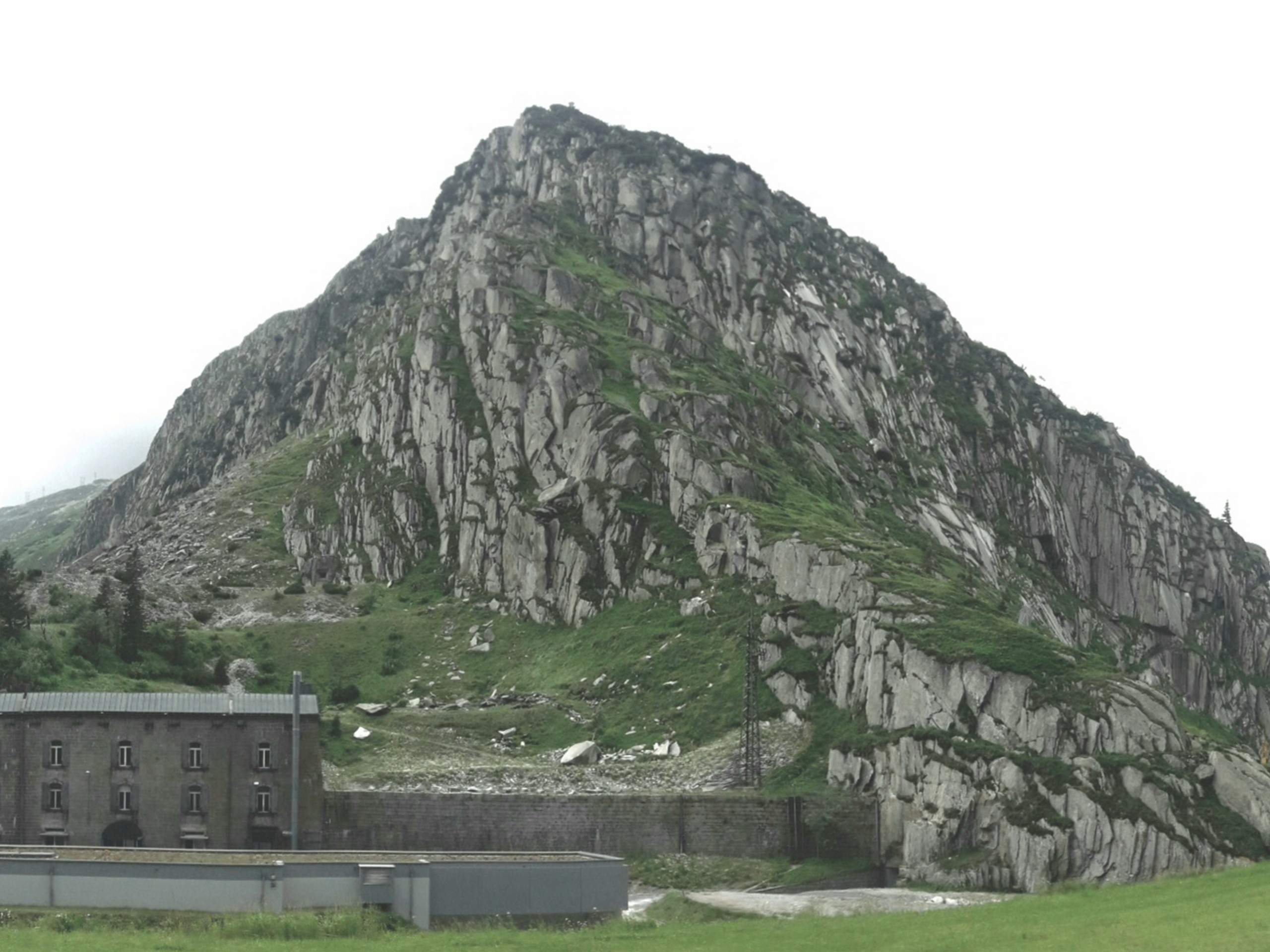
From the train station, follow the GPS track and walk along Gotthardstrasse northward. Andermatt is surrounded by mountains, and as you start your walk you will see Meiggelenstock (7927ft) guarding the village from the northwest.
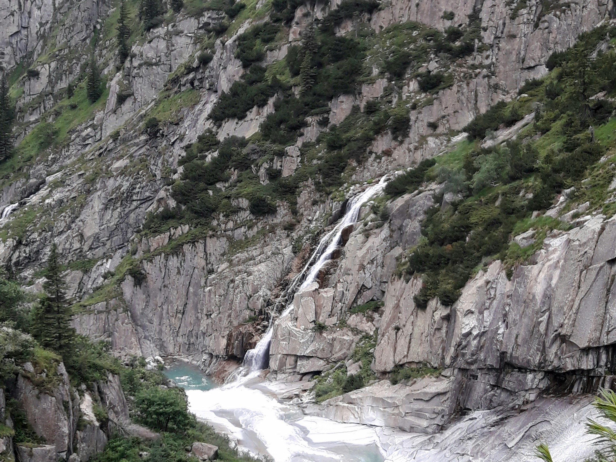
About 1km into the walk, you enter a steel structure through a door and pass through a tunnel to cross under the road. The footpath will take you adjacent to a waterfall where the Reuss River flows in a powerful cascade.
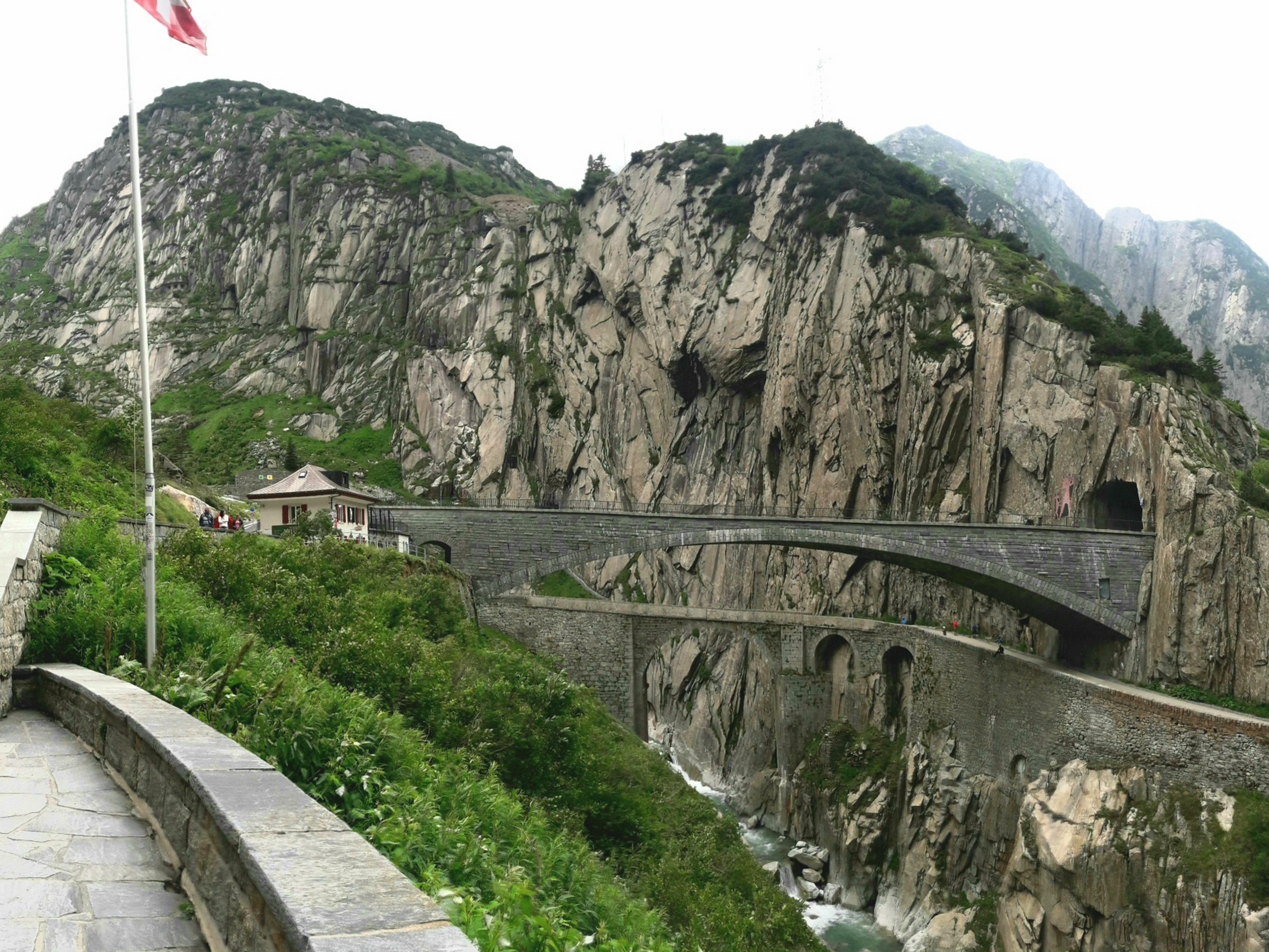
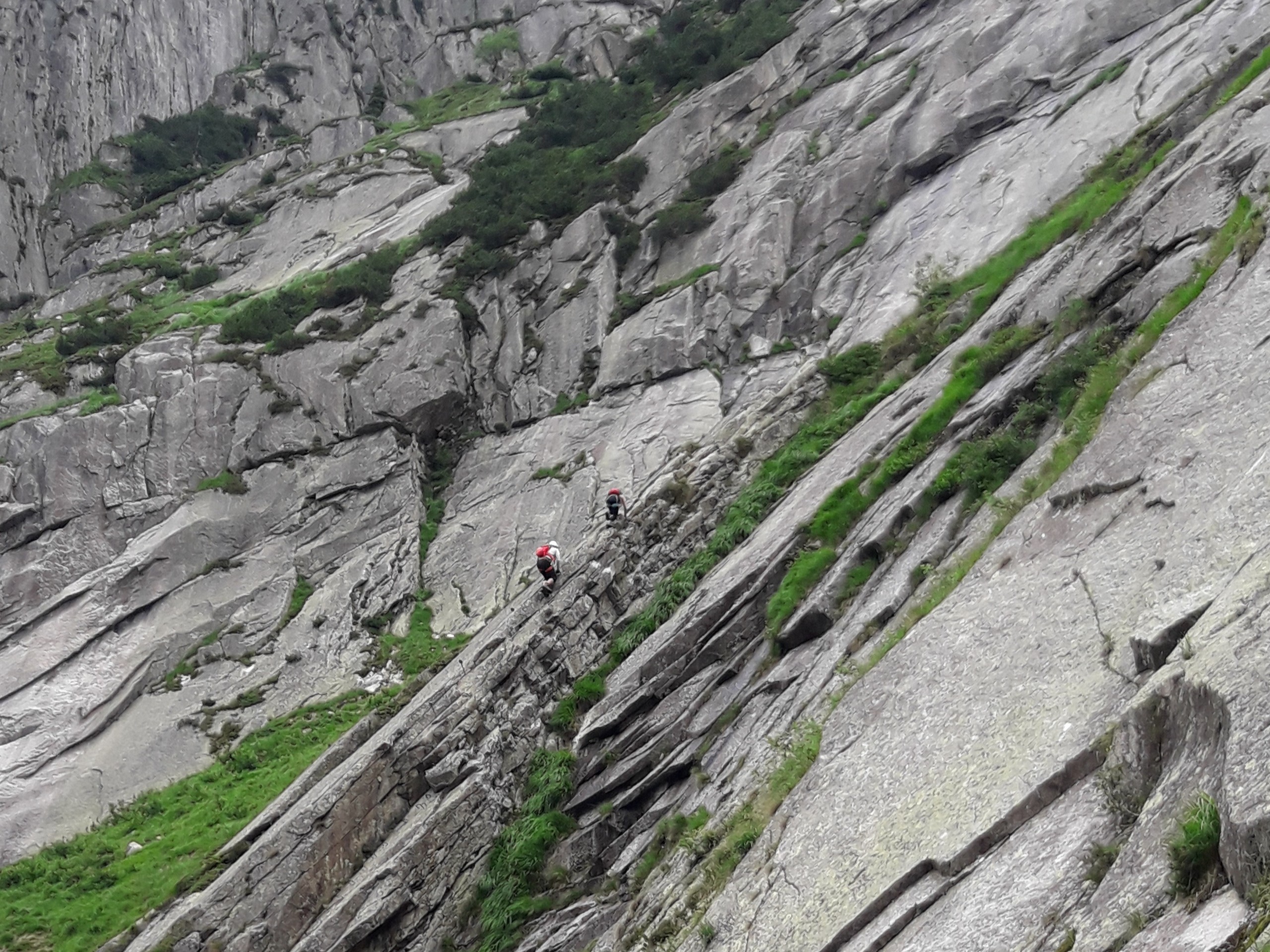
0.9mi into the hike you will see the Suvorov monument, which honors the Russian soldiers who fought and defeated French soldiers under Napoleon at the Schollenen Gorge in 1799. Beside the Suvorov monument is the start of a via ferrata route.
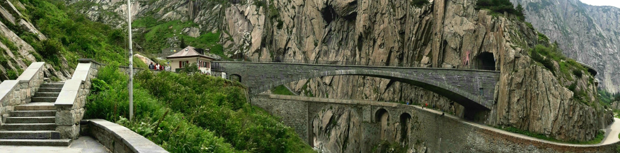
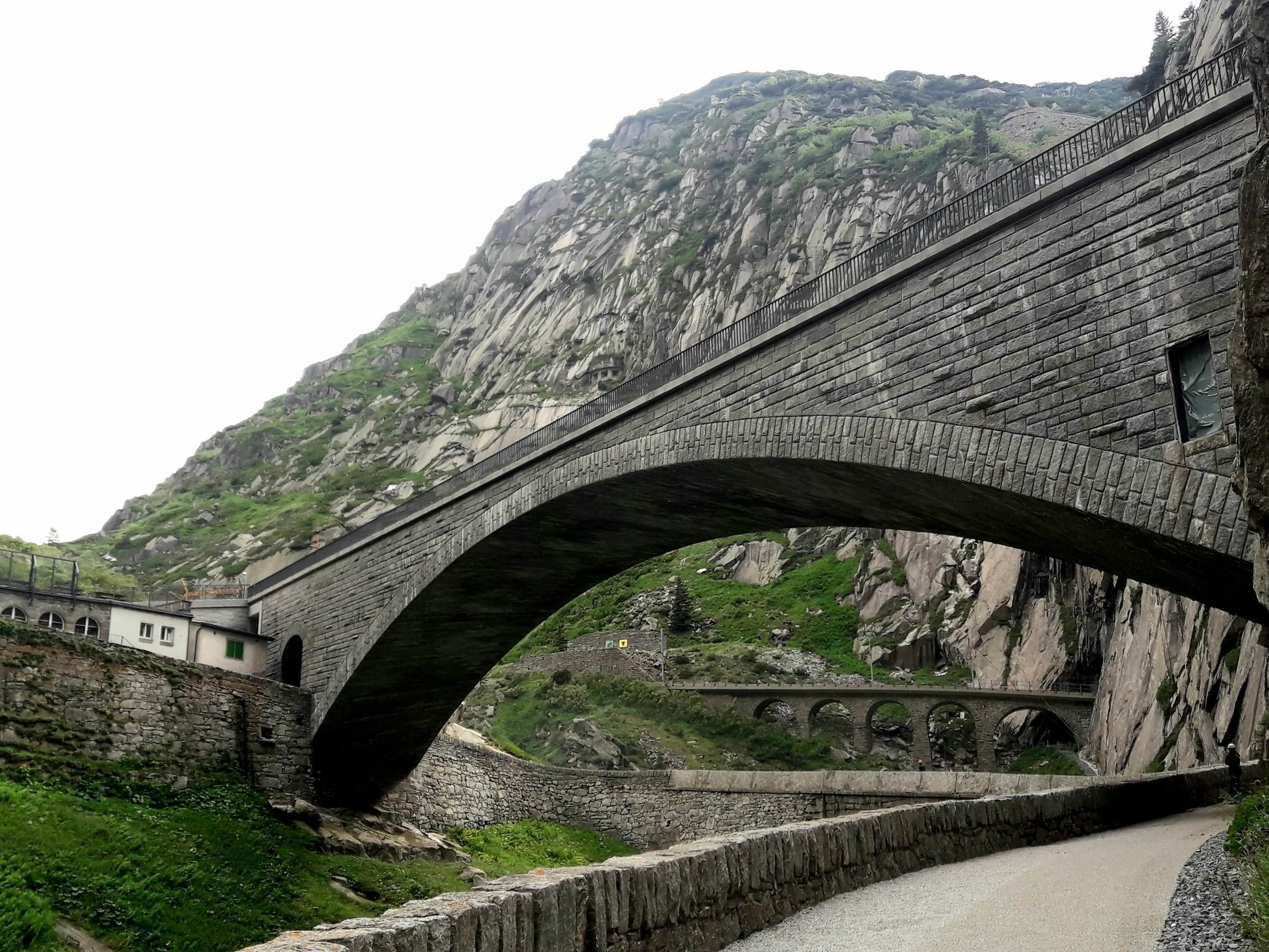
The footpath will pass a bridge over the Reuss River and pass under the Devil’s Bridge. The vertical cliffs around the Devil’s bridge have some rock climbing routes on offer.
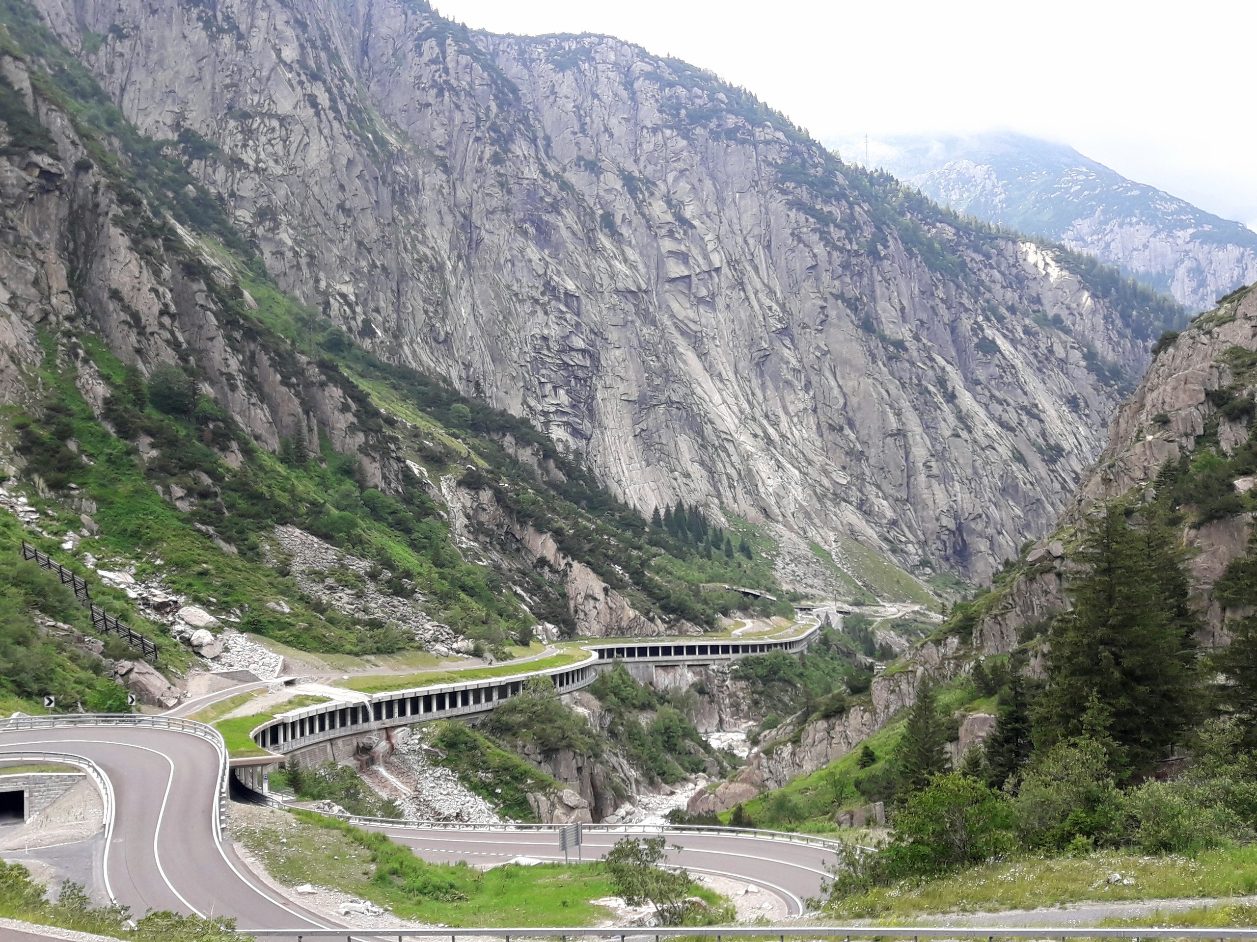
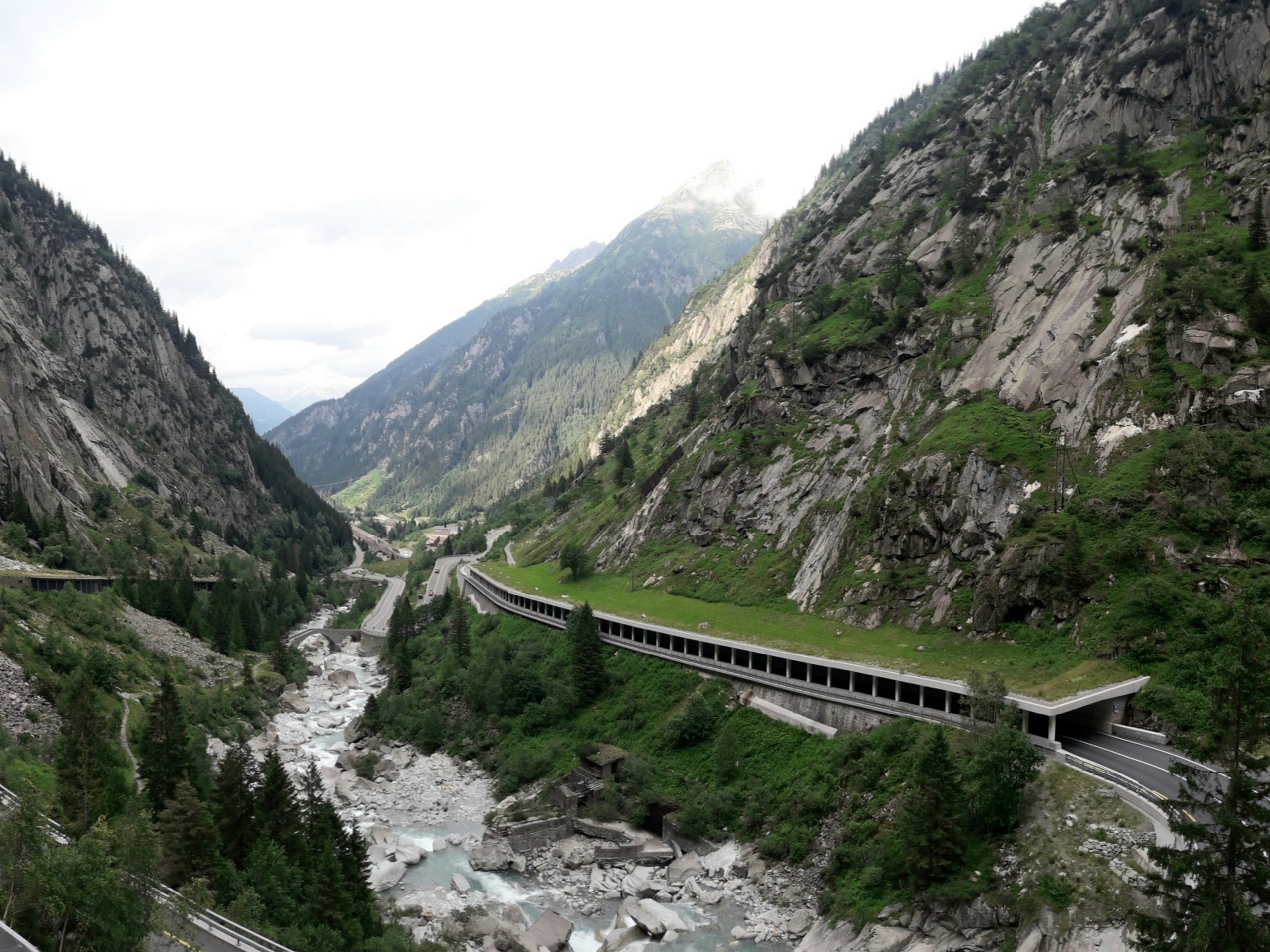
Follow the path as it winds its way down the valley. At various points you will be adjacent to or sometimes right over the Gotthardstrasse (Gotthard road). The steep walls of the gorge surround you for the rest of the hike.
As you reach Goschenen, look for the train station and take the short train ride back to Andermatt.
Insider Hints
A restaurant is located conveniently outside the Andermatt train station for a quick meal or snack once you’re done
Make sure you plan to be back with time to spare before the last train of the day.
Similar hikes to the Andermatt to Goschenen hike
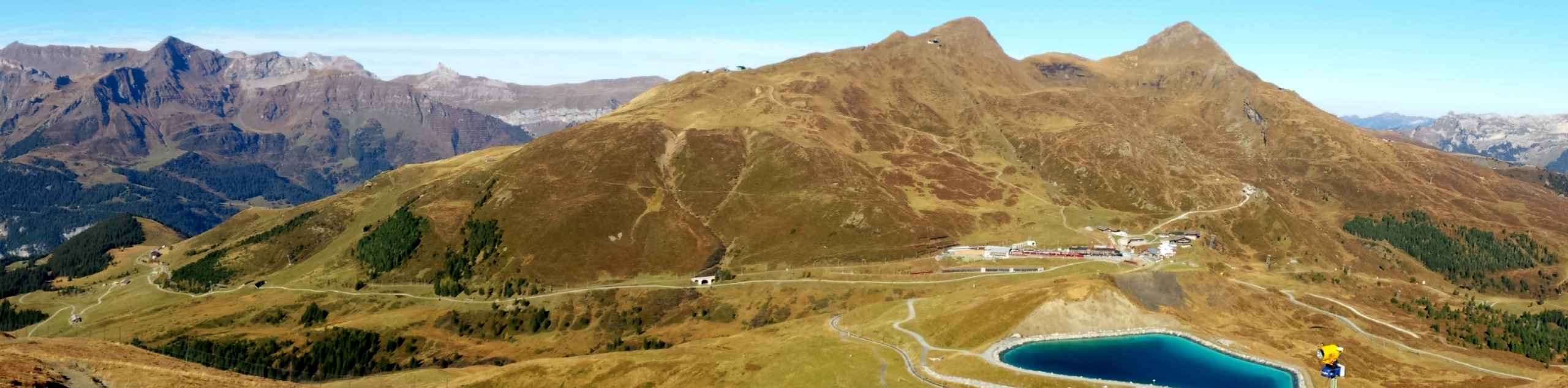
Matterhorn Glacier Trail
The Matterhorn Glacier Trail (Nr. 26) takes you close to the Furgg Glacier and right beside the east flank of…
Eiger Trail
The Eiger Trail skirts the north face of one of the most iconic mountains in Europe. The hike is relatively…
Edelweiss Refuge Loop
Zermatt is an area strewn with hiking trails that intersect on well signposted routes. This hike can be altered depending…
Comments