
Foel Goch via Bwlch Tryfan Walk
View Photos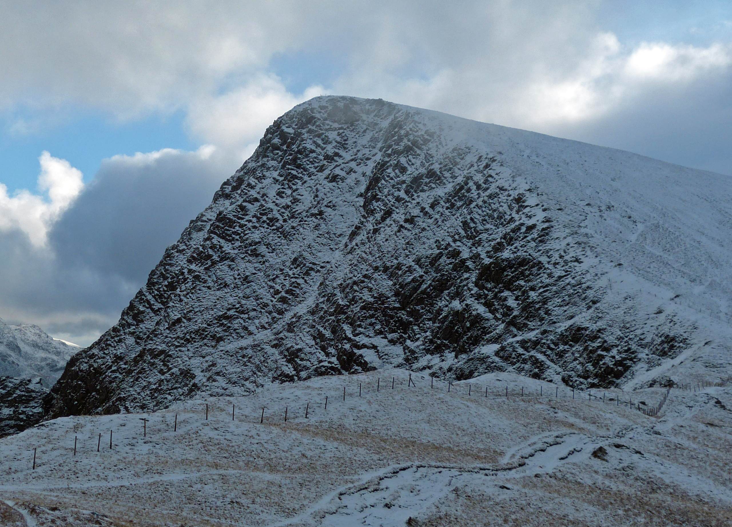
Foel Goch via Bwlch Tryfan Walk
Difficulty Rating:
A walk up Foel Goch via Bwlch Tryfan is an excellent way to take in the iconic beauty of Tryfan without actually having to climb it! Starting from Llyn Ogwen, walk around the base of the mountain until you reach Bwlch Tryfan, then join the Miner’s Track to summit Foel Goch. Its southern position provides a fantastic vantage point to look upon Tryfan and the Glyderau. A straightforward ridge walk brings you east along a number of smaller summits, finishing the walk in Capel Curig.
Getting there
To start the Foel Goch via Bwlch Tryfan walk, head for the southern shores of Llyn Ogwen along the A5. There are multiple lay-bys along the road to park at. The most convenient one for this route is about halfway down the lake, on the south side, just past the bend to the left (if driving from west to east).

About
| When to do | March-November |
| Backcountry Campsites | No |
| Pets allowed | Yes - On Leash |
| Family friendly | No |
| Route Signage | Poor |
| Crowd Levels | Moderate |
| Route Type | One Way |
Foel Goch via Bwlch Tryfan Walk
Elevation Graph
Weather
Foel Goch via Bwlch Tryfan Walk Description
From the car park, set off on a footpath leading south. It quickly comes to a pronounced fork. Left is the approach to Tryfan’s North Ridge, and right is the path you want for today. Follow this southwest over a stream, then head left at the next fork. This path brings you towards Tryfan’s imposing eastern face. Roughly 1312ft past the previous fork, you’ll want to turn right off the path and head more or less directly south, giving the mountain a wide berth as you contour around its lower slopes. Keep Tryfan on your left and Llyn Bochlwyd on your right as you make your way towards Bwlch Tryfan. You’ll still be ascending during this portion – just not as steeply as a direct approach over Tryfan would require!
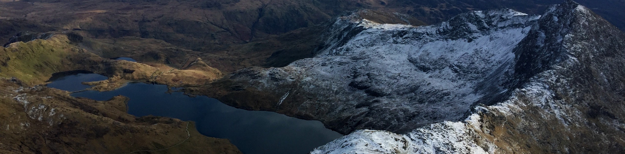
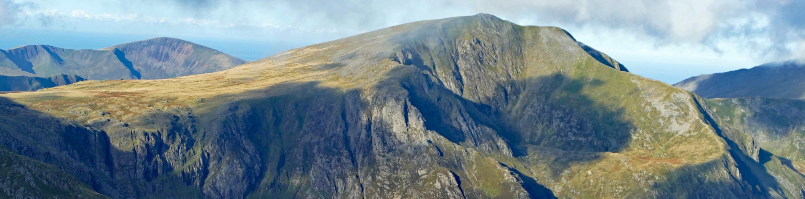
From Bwlch Tryfan, join the well-trod Miner’s Track on a southeast bearing. This curves to the left, reaching a flat area with Llyn Caseg-fraith on your left. The summit of Foel Goch is just ahead – a short final pull, and you’re there! With iconic Tryfan towering to the north, and the Glyderau to the west, there’s no shortage of scenery to take in. Continue east along the summit path, descending slightly to the neighbouring peak of Gallt yr Ogof.
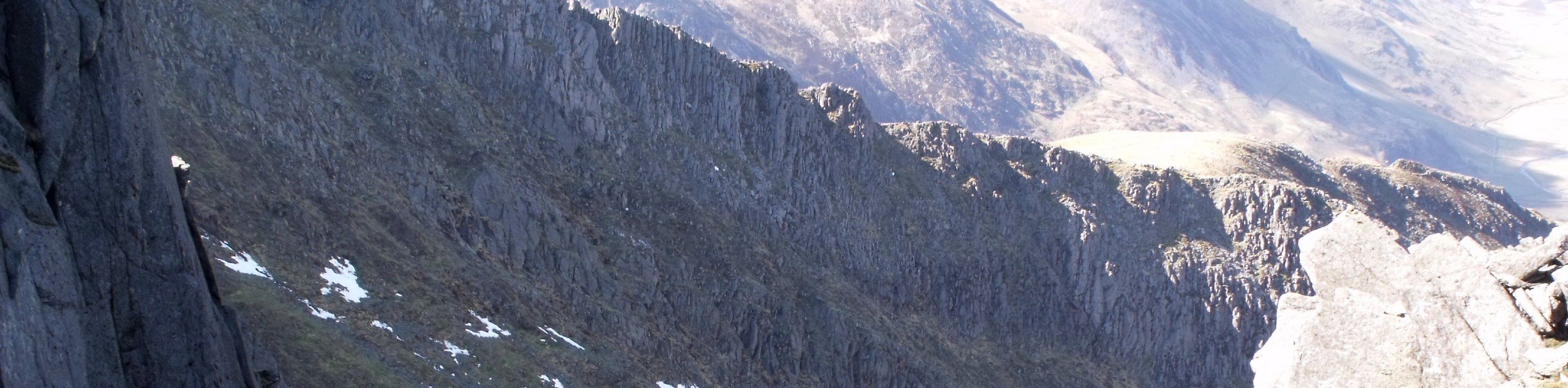
The path now starts to really descend as you continue with a bend to the right. Cefn y Capel, a little over half Foel Goch’s height, is the final summit on your way down. At the end of the path, clamber over a stile and turn right to meet a narrow lane which leads directly into Capel Curig. From here, you can catch a Snowdon Sherpa bus back to Llyn Ogwen. We recommend checking the schedules before starting the walk, as many routes are limited to summer weekends.
Similar hikes to the Foel Goch via Bwlch Tryfan Walk hike
Snowdon via Crib Goch and Miner’s Track
Of all the many routes up Snowdon, this approach via Crib Goch may be the most demanding! The walk starts…
Y Garn and the Glyderau
The Glyderau may be the most celebrated mountain range within Snowdonia National Park, and this full-day adventure visits the highlights!…
Bochlwyd Horseshoe
The Bochlwyd Horseshoe is a major adventure on the slopes - one of the best in all Snowdonia! It’s as…
Comments