

West Side and Brushy Peak Loop Hike
View PhotosWest Side and Brushy Peak Loop Hike
Difficulty Rating:
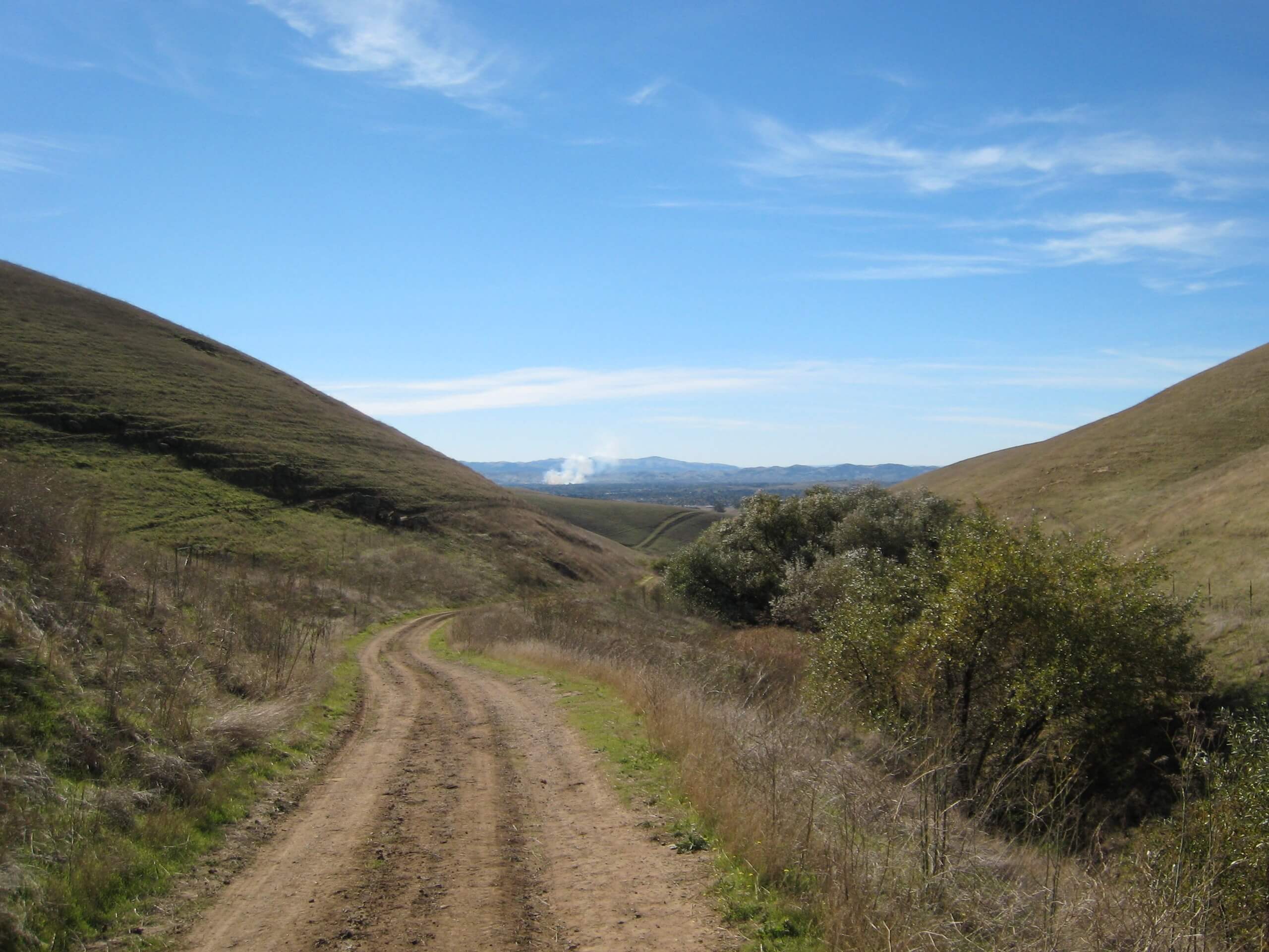
The West Side and Brushy Peak Loop is an incredibly beautiful adventure near Livermore, CA. This epic day hike wanders through grassy meadowlands and communities of chaparral shrubs to Brushy Peak—offering breathtaking mountain views.
Getting there
The West Side and Brushy Peak Loop departs from the Brushy Peak Trailhead off Laughlin Road.
About
| Backcountry Campground | No |
| When to do | Year-round |
| Pets allowed | Yes - On Leash |
| Family friendly | Older Children only |
| Route Signage | Average |
| Crowd Levels | Moderate |
| Route Type | Circuit |
West Side and Brushy Peak Loop Hike
Elevation Graph
Weather
West Side and Brushy Peak Loop Hike Description
Those seeking a moderate day-hike outside of San Francisco should explore the Brushy Peak National Reserve near Livermore, CA. You’ll find the wonderful West Side and Brushy Peak Loop Hike within the park limits. This epic adventure meanders through the hilly terrain up to Brushy Peak. Admire the encompassing mountains and the windmills that adorn them! Note this route is entirely exposed, so pack plenty of water and wear SPF.
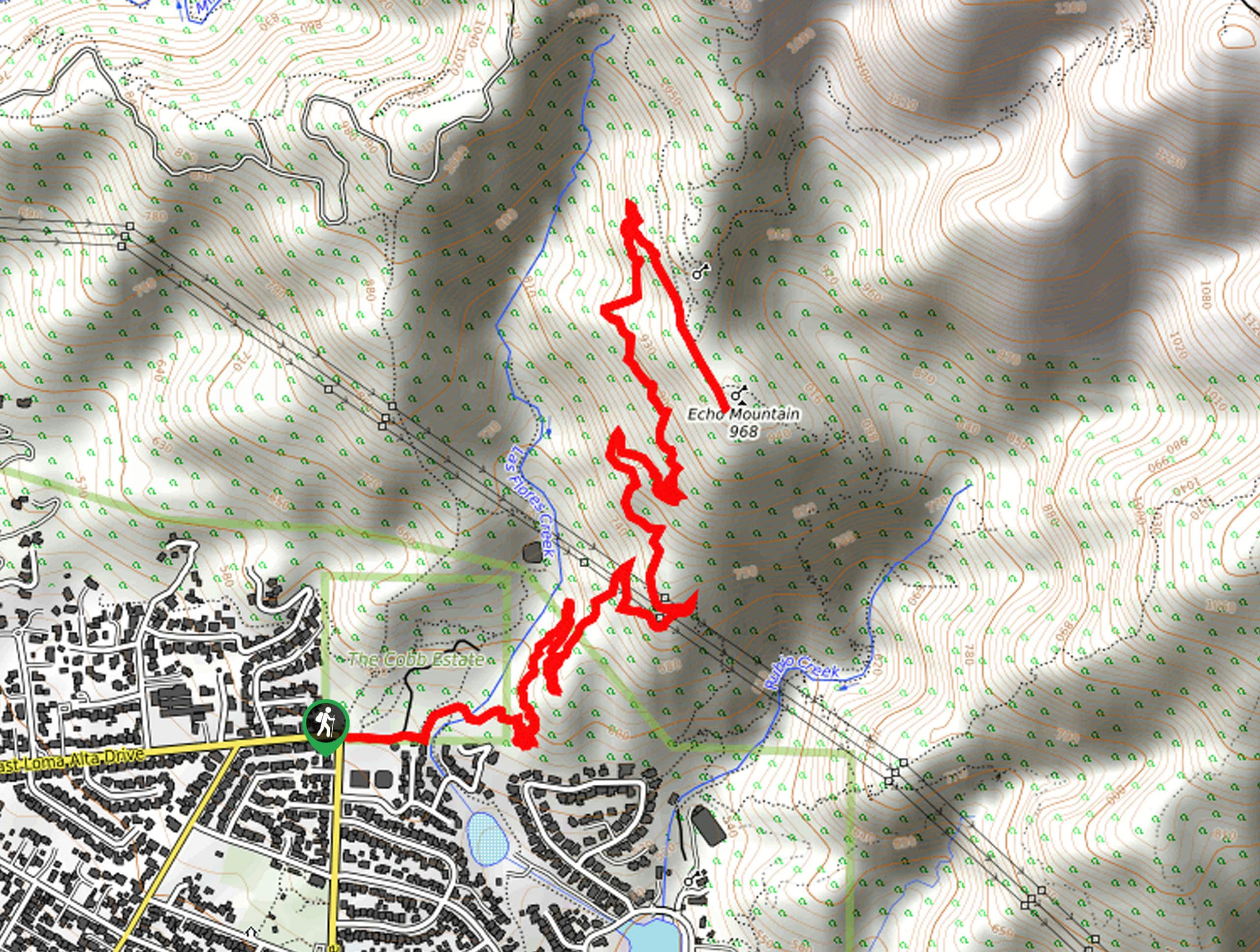
Embark on your journey along the West Side and Brushy Peak Loop from the Brushy Peak Trailhead. Setting out from here, you will be led northeast along the Brushy Peak Loop Trail, through a valley of a seasonal creek. Eventually, the path will divert away from the creek, redirecting hikers northwest up to Brushy Peak. Admire the beauty of the hilly terrain and the distant views of Livermore below. Follow this path down the slope of the peak to an intersection, where you will merge onto the West Side Loop Trail.
The West Side Loop Trail will guide you south, gradually descending through the meadowlands and back to the trailhead.
Similar hikes to the West Side and Brushy Peak Loop Hike hike

Bridge to Nowhere via East Fork Trail
The hike to the Bridge to Nowhere via East Fork Trail is a fun little adventure in the Angeles National…

Mount San Antonio and Mount Baldy Notch Trail
The Mount San Antonio and Mount Baldy Notch Trail is a beautifully scenic, albeit physically demanding, adventure in the Angeles…

Echo Mountain via Sam Merrill Trail
The Echo Mountain via Sam Merrill Trail is a beautifully scenic adventure in the Angeles National Forest of Southern California…


Comments