

San Francisco Bay Trail: Richmond Inner Harbor
View PhotosSan Francisco Bay Trail: Richmond Inner Harbor
Difficulty Rating:
The San Francisco Bay Trail: Richmond Inner Harbor is an excellent adventure ideal for explorers of all ages and skill levels. Walk, run or bike along the shoreline, reveling in the inspiring views of the San Francisco cityscape, the Golden Gate Bridge, Alcatraz, and more.
Getting there
The San Francisco Bay Trail: Richmond Inner Harbor is accessed via the Bay Trailhead in Emeryville off Frontage Road.
About
| Backcountry Campground | No |
| When to do | Year-round |
| Pets allowed | Yes - On Leash |
| Family friendly | Yes |
| Route Signage | Average |
| Crowd Levels | High |
| Route Type | One Way |
San Francisco Bay Trail: Richmond Inner Harbor
Elevation Graph
Weather
San Francisco Bay Trail: Richmond Inner Harbor Description
The San Francisco Bay Trail: Richmond Inner Harbor is a pleasant trail that runs along the bay in Berkeley. Offering a diversity of views, this route is scenic and stimulating every step. Note sections of this route are wheelchair and stroller accessible, but the entire trail is not. Admire beautiful views of the quintessential San Francisco landmarks while getting a good workout in. Note this hike is one-way, so make sure you leave a car or arrange for pickup at the trail’s end.
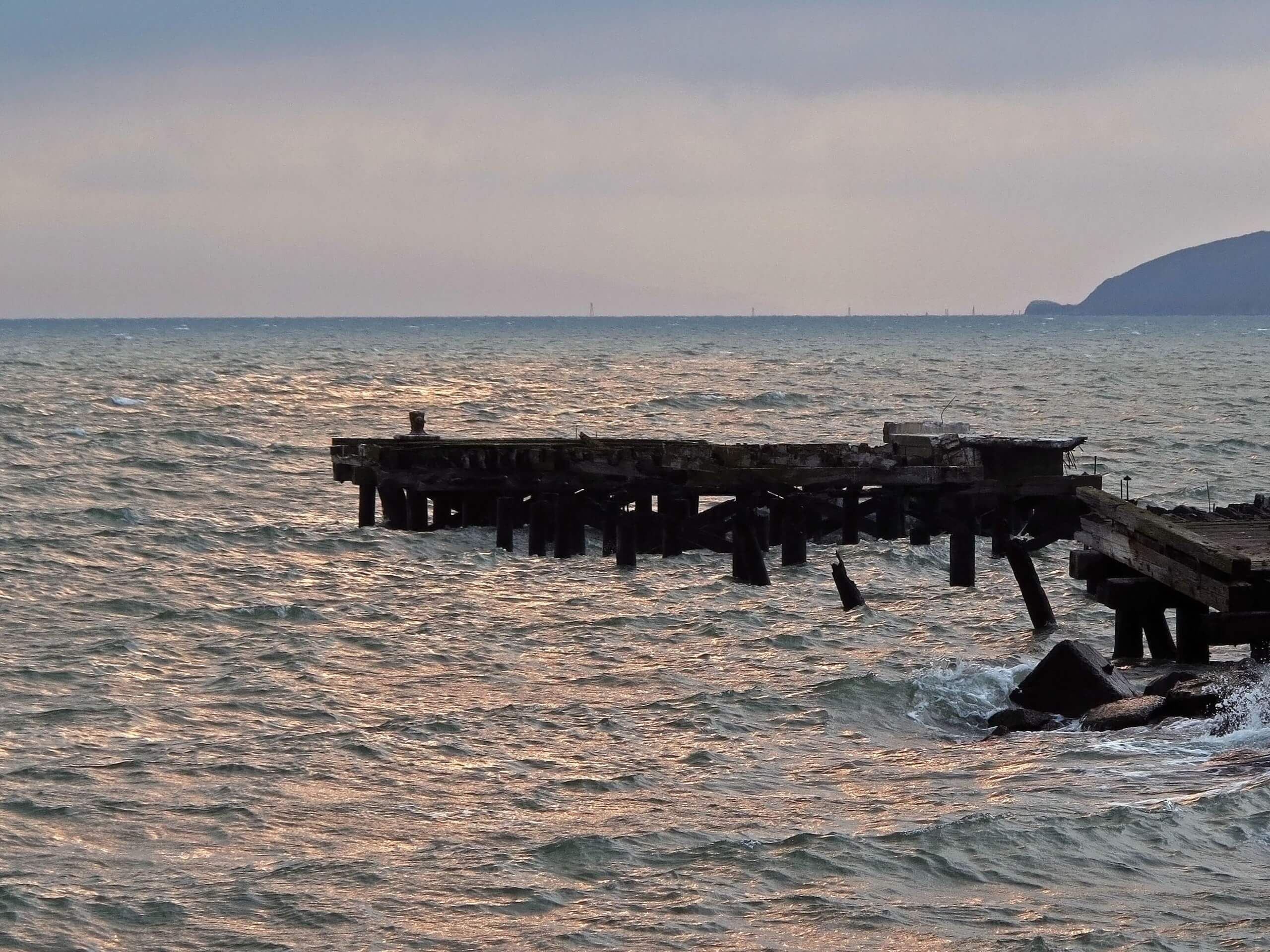
Setting out from the Bay Trailhead in Emeryville, the San Francisco Bay Trail: Richmond Inner Harbor follows the Bay Trail along the shoreline. The initial segment of the route will pass by Shorebird and Point Emery Parks before intersecting with University Ave. From here, you will be led past the East Shore State Parks and the Golden Gate Fields. As you meander along the shore, be sure to take the time and admire the scene of the world’s most famous bridge across the water.
After passing through a section of wetlands, the trail will loop through the busy Marina Bay, signaling you are nearing your adventure’s end. You will ultimately reach the route’s end in Lucretia Edwards Park at Richmond Inner Harbor.
Similar hikes to the San Francisco Bay Trail: Richmond Inner Harbor hike

Bridge to Nowhere via East Fork Trail
The hike to the Bridge to Nowhere via East Fork Trail is a fun little adventure in the Angeles National…

Mount San Antonio and Mount Baldy Notch Trail
The Mount San Antonio and Mount Baldy Notch Trail is a beautifully scenic, albeit physically demanding, adventure in the Angeles…

Echo Mountain via Sam Merrill Trail
The Echo Mountain via Sam Merrill Trail is a beautifully scenic adventure in the Angeles National Forest of Southern California…


Comments