

Presidio Promenade Trail
View PhotosPresidio Promenade Trail
Difficulty Rating:
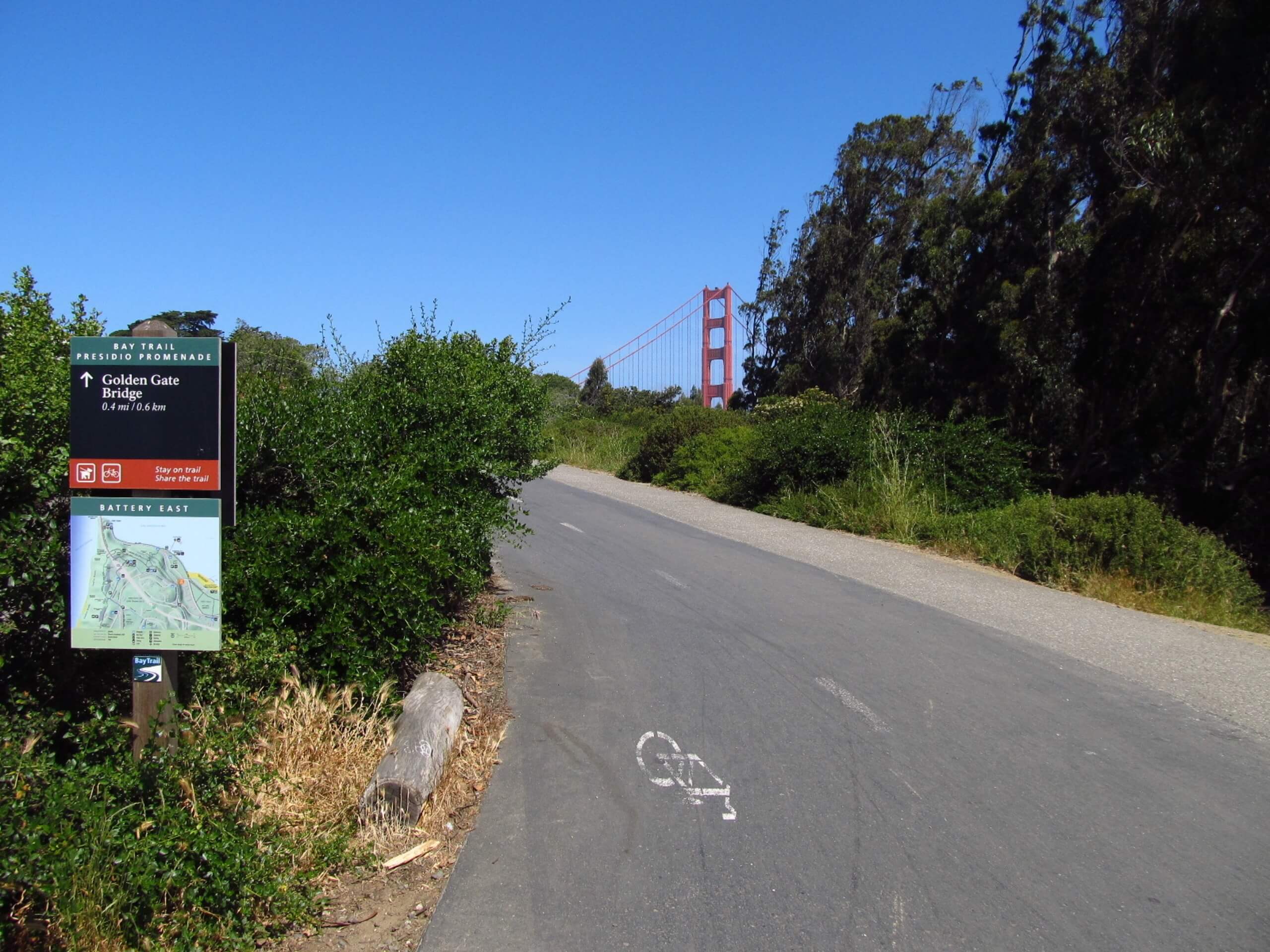
The Presidio Promenade Trail is a lovely adventure through a variety of terrains. Explore enchanting forests of redwoods and oaks, vibrant flowering meadows, and wander through charming San Francisco neighborhoods. Be sure to charge your camera as you will be rewarded with distant views of the Golden Gate Bridge!
Getting there
Access this hike via the trailhead and parking lot of Ruger Street.
About
| Backcountry Campground | No |
| When to do | Year-round |
| Pets allowed | Yes - On Leash |
| Family friendly | Yes |
| Route Signage | Poor |
| Crowd Levels | High |
| Route Type | Circuit |
Presidio Promenade Trail
Elevation Graph
Weather
Presidio Promenade Trail Description
The Presidio Promenade Trail is a wonderful adventure in the Golden City that boasts wonderful views of the Golden Gate Bridge along the way. Meander through magical forestlands, past historic landmarks, and flowering meadows. Though well-revered, this route is poorly signposted, so be sure to download the trail GPS to mitigate getting lost. Come prepared to share the trail, though mornings seem to boast a more tranquil experience.
Embark on your journey along the Presidio Promenade Trail from the parking lot off Ruger Street. Following the trail GPS, you will be led through the neighborhood before merging onto Lovers’ Lane. At the end of the route, turn right to be diverted onto the Mountain Lake Trail and over Arguello Blvd. Using the trail GPS, you will pass Andy Goldsworthy’s Spire and over to the National Cemetery Overlook. At this point, the path will leave the wilderness and meander through the local neighborhood.
Explore the charming neighborhood, stopping to grab a coffee along the way. Here there are many turns and intersections, so use the GPS. Ultimately you will be delivered back to the parking lot, marking the end of your adventure.
Similar hikes to the Presidio Promenade Trail hike

Bridge to Nowhere via East Fork Trail
The hike to the Bridge to Nowhere via East Fork Trail is a fun little adventure in the Angeles National…

Echo Mountain via Sam Merrill Trail
The Echo Mountain via Sam Merrill Trail is a beautifully scenic adventure in the Angeles National Forest of Southern California…

Lewis Falls Trail
Hiking the Lewis Falls Trail is a spectacular, if fairly short, adventure in the Angeles National Forest that will take…


Comments