Mount Diablo Hike
View Photos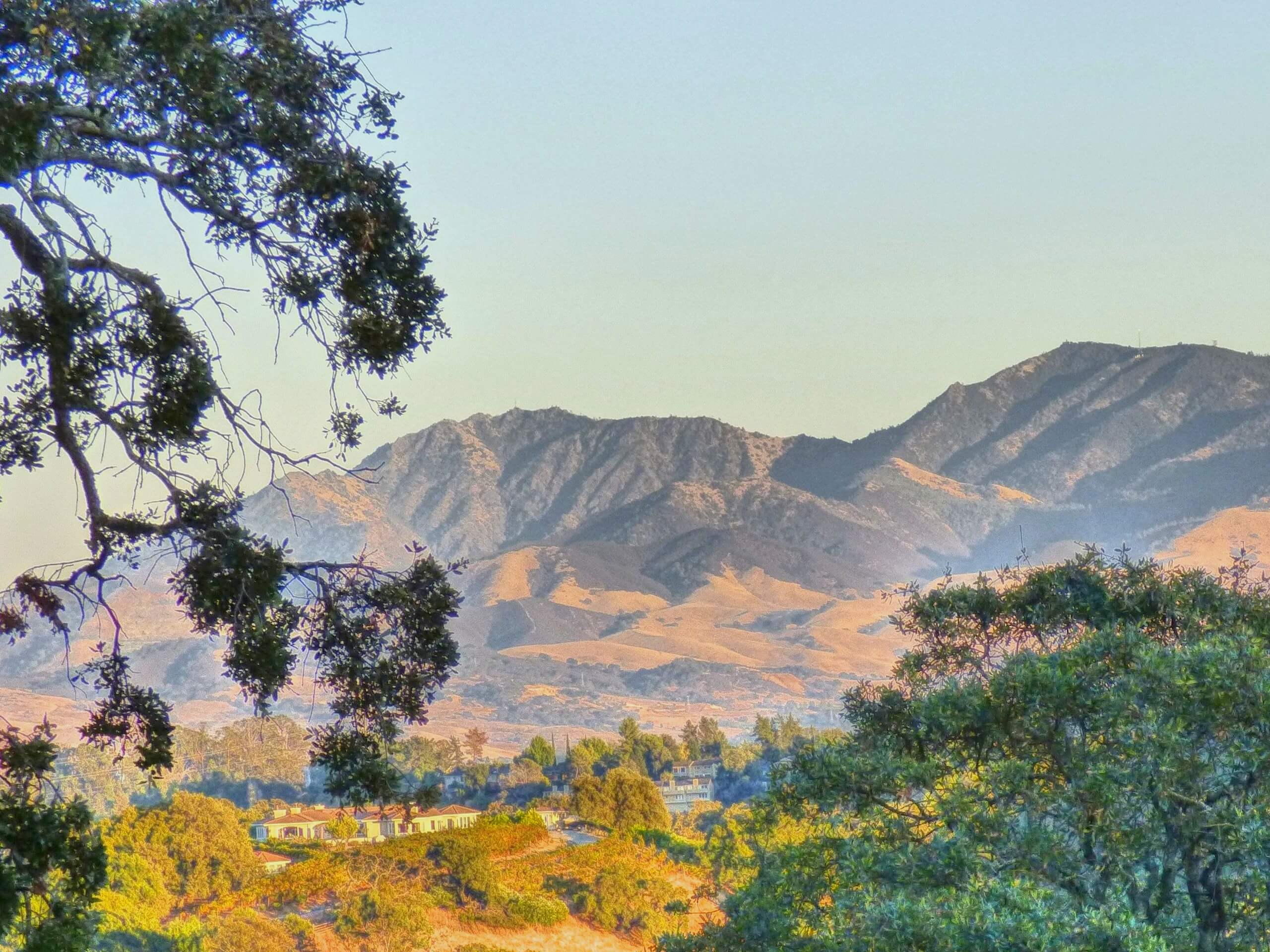
Mount Diablo Hike
Difficulty Rating:
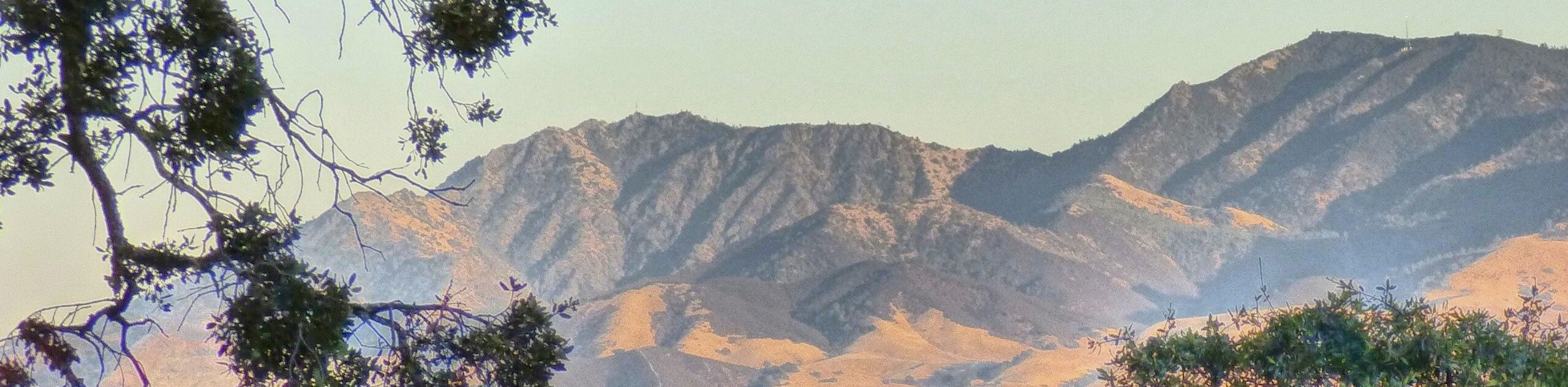
Though not the tallest mountain in the state, the hike to Mount Diablo is a revered adventure in the Bay Area that offers famous views. Hike up through mixed oak woodlands and dense communities of chaparral to the Summit Building, which boasts sights of the Golden Gate Bridge, the Sierra Nevada, the Santa Cruz Mountains, the Cascades, and more.
Getting there
The Mount Diablo Hike departs from the parking lot and trailhead at Curry Point off South Gate Road.

About
| Backcountry Campground | |
| When to do | Year-round |
| Pets allowed | No |
| Family friendly | Older Children only |
| Route Signage | Good |
| Crowd Levels | High |
| Route Type | Out and back |
Mount Diablo Hike
Elevation Graph
Weather
Mount Diablo Hike Description
The Mount Diablo Trail is a must-hike when in the Bay Area. This famous trek attracts thousands of eager adventurers weekly, so expect to share the trail. Those seeking a more secluded adventure are encouraged to head out on weekday mornings for a more tranquil experience. The exposed terrain offers dumbfounding views while warranting unbearably warm conditions, so avoid the trail on hot days and head out at dawn for more manageable weather. Drink and pack plenty of water to stay hydrated, approximately 1 quart every 2 hours. Note that Mount Diablo State Park charges a $10USD entrance fee.
Indulge yourself in the beauty of the Californian landscape along the Mount Diablo Hike. This wonderful adventure, though demanding, rewards its tired conquerors with unrivaled views of the Bay Area, the Cascade Range, the Santa Cruz Mountains, the Sierra Nevada, and more. Head out after a rainy winter and enjoy the scene of the slopes covered with wildflowers and lush vegetation, including canyon larkspur, warrior’s plume, western wallflower, sagebrush, and Coulter pine. In addition to a diversity of flora, this route also offers the opportunity to spot lizards, snakes, white-tailed kites, mountain lions, black-tailed deer, and more.
When your water bottle is filled, and your hiking boots are tied, you can begin your adventure along the Mount Diablo Trail from the South Gate Trailhead. Setting out from here, wander along the Summit Trail, which runs parallel to Summit Road, for the first segment of the adventure. Gradually ascending through the lush meadowlands, you will be rewarded with stunning views of the neighboring Diablo Mountains and the cityscape below. Soon after your departure, the path will redirect you northeast, intersecting with several merging trails and Summit Road—stay on the Summit Trail.
The further you climb, the better the views. Admire the wildflowers that flank the footpath and the lush chaparral and oak woodlands that cloak the terrain. Be mindful of rattlesnakes, and keep your eyes peeled for wildlife! As you near the summit, the grade will intensify, leading you up to the Summit Building. Hike up the spiral staircase to the observation deck, where you will notice ancient marine fossils embedded in the sandstone walls. You will be treated to 360-degree views of the rolling hills, the broad valley, the Bay Area, and distant views of soaring crests from the observation deck. Appreciate the unparalleled panoramas, and when you are ready, retrace your footing back down the path to the trailhead.
Trail Highlights
Mount Diablo
Mount Diablo is a famous mountain of the Diablo Range in Contra Costa County. This picture-perfect peak stands at an elevation of 3849ft and is visible from most of the Bay Area. Visitors can hike, bike, run, drive or horseback ride up to the Summit Building. Telescopes are mounted on the deck to help visitors enjoy one of the finest views in the world. On a clear day, adventurers can enjoy views of the Golden Gate Bridge, the Sierra Nevada, the Santa Cruz Mountains, the Cascades, and more.
Frequently Asked Questions
How long is the Mount Diablo Hike?
The Mount Diablo Hike is a 7.0mi out-and-back trail.
Is the Mount Diablo Hike difficult?
Yes, the Mount Diablo Trail is rated moderately difficult due to the vertiginous ascent and exposed terrain
Can you drive up to the summit of Mount Diablo?
Yes, for a fee of $10USD adventurers can drive up to the peak of Mount Diablo via the Summit Road.
How many counties can you see from the summit of Mount Diablo?
On a clear day, it is rumored you can see 40 of California’s 58 counties from the summit of Mount Diablo.
Insider Hints
Head out on early weekday mornings for a more tranquil experience
Drink and pack plenty of water (a minimum of 1 quart every 2 hours)
Cell coverage is spotty, download the trail GPS prior to hiking
Charge your camera, the views are picture-perfect
Wear a pair of sturdy, comfy footwear
Dress in layers as insurance against changing conditions
Similar hikes to the Mount Diablo Hike hike
Bridge to Nowhere via East Fork Trail
The hike to the Bridge to Nowhere via East Fork Trail is a fun little adventure in the Angeles National…
Mount San Antonio and Mount Baldy Notch Trail
The Mount San Antonio and Mount Baldy Notch Trail is a beautifully scenic, albeit physically demanding, adventure in the Angeles…
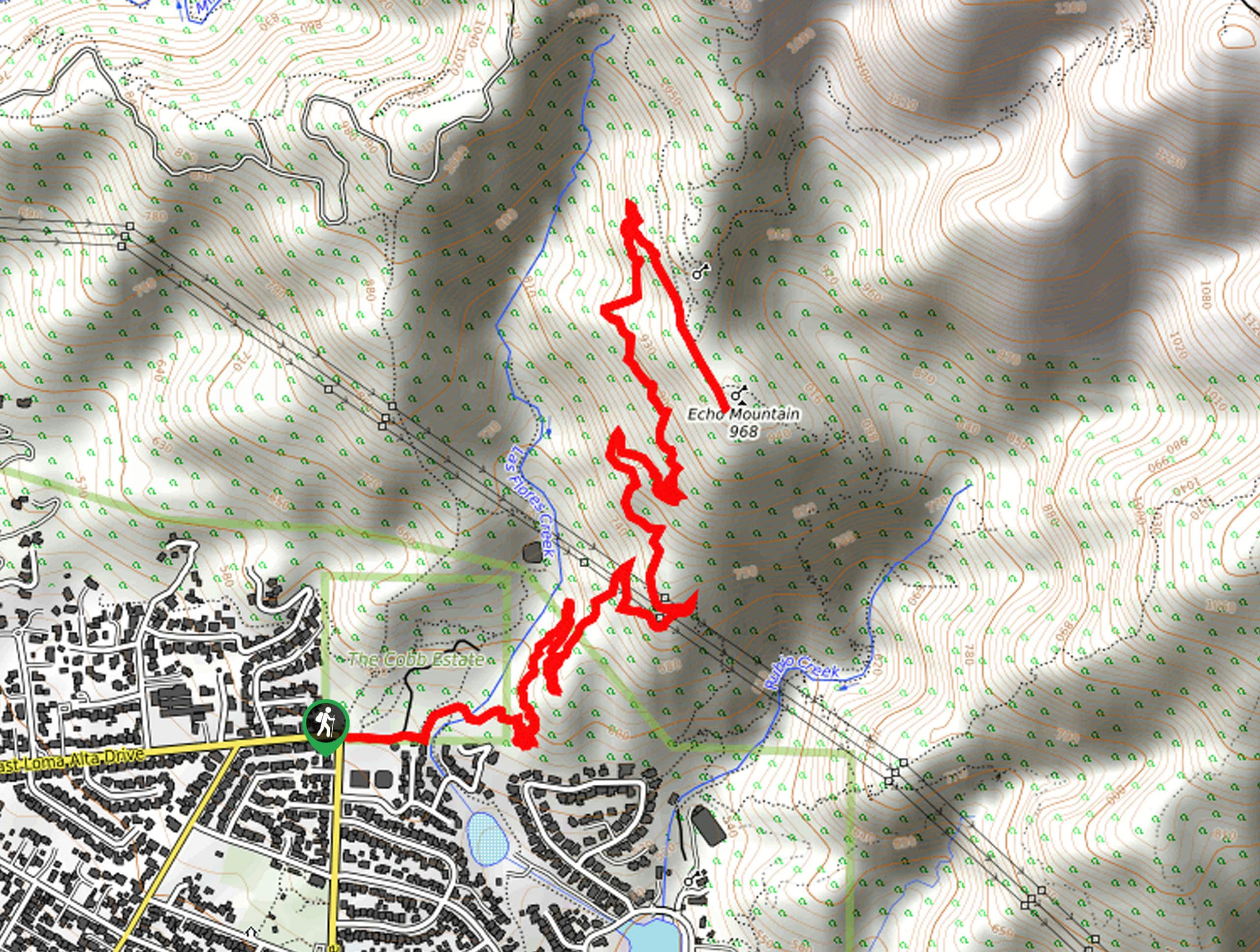
Echo Mountain via Sam Merrill Trail
The Echo Mountain via Sam Merrill Trail is a beautifully scenic adventure in the Angeles National Forest of Southern California…
Comments