
Lewis Falls Trail
View Photos
Lewis Falls Trail
Difficulty Rating:
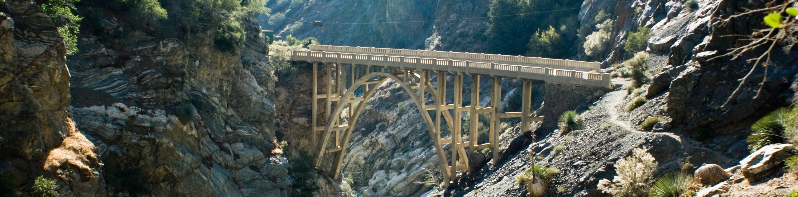
Hiking the Lewis Falls Trail is a spectacular, if fairly short, adventure in the Angeles National Forest that will take you to a beautiful waterfall. While out on the trail, you will follow closely alongside Soldier Creek, passing cabins and old ruins, before arriving at the serene location of the Lewis Falls. Make sure that you have purchased an adventure pass and have it visible in your vehicle prior to starting your hike.
Getting there
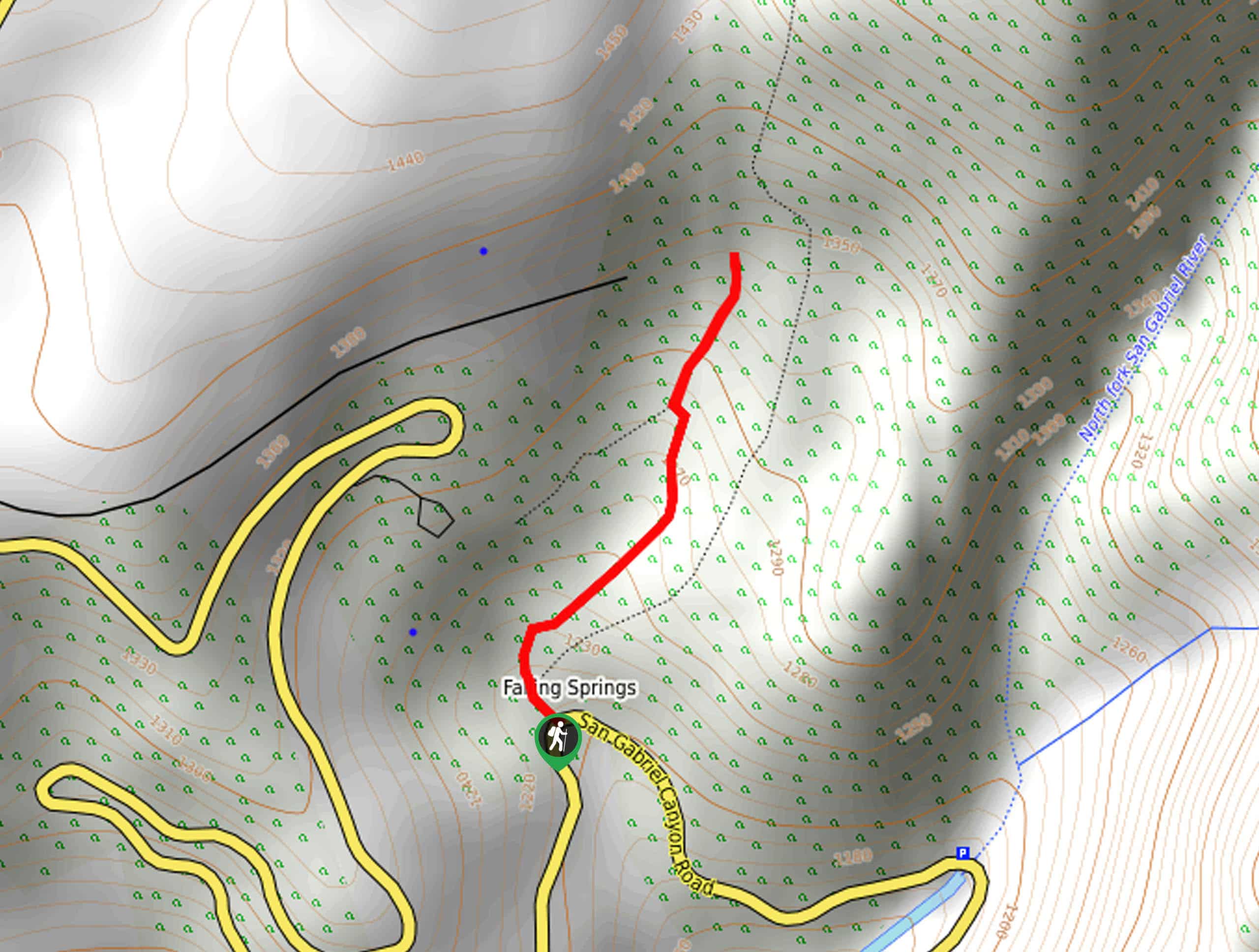
The starting point for the Lewis Falls Trail can be found at the Lewis Falls Trailhead along San Gabriel Canyon Road/Crystal Lake Road.

About
| Backcountry Campground | No |
| When to do | Year-Round |
| Pets allowed | Yes - On Leash |
| Family friendly | Yes |
| Route Signage | Average |
| Crowd Levels | High |
| Route Type | Out and back |
Lewis Falls Trail
Elevation Graph
Weather
Lewis Falls Trail Description
Although the Lewis Falls Trail is a very short hiking route, there are several things to consider before setting out on an adventure here. First, the trailhead isn’t well marked, so make sure to keep an eye out while on San Gabriel Canyon Road/Crystal Lake Road, or pull over where you see the other vehicles parked. Second, the trail does feature some rocky terrain that can be difficult to traverse, so proper hiking footwear is a must. Lastly, as mentioned above, you should make sure to display an adventure pass to avoid being fined while out hiking.
Even taking the above points into consideration, the Lewis Falls Trail makes for a fantastic hiking excursion, which is probably why it is such a busy route! With gorgeous waterfall views and a pretty short overall distance, this is a great bang for your buck hike that won’t take up your whole day.
Setting out from the trailhead at the bend in San Gabriel Canyon/Crystal Lake Road, you will make your way to the northwest through the tree cover, where you will meet up with the trail in roughly 160ft. Turn left along the trail and follow it as it bends to the northeast, taking you past a viewpoint of the creek, some stone ruins, and a lovely little field.
Continuing on to the northeast for the next 0.3mi, you will pass by a cabin, before eventually arriving at the site of Lewis Falls. Take some time to revel in the beauty of the cascade or take a break with a relaxing picnic, before turning back along the short trail to relive the scenery and wrap up your time along the Lewis Falls Trail.
Trail Highlights
Lewis Falls
Located deep within the San Gabriel Wilderness Area of Angeles National Forest, Lewis Falls is a beautifully scenic 50ft cascade along Soldier Creek that flows down a rock face and into a charming pool of water below.
Frequently Asked Questions
Can you swim at Lewis Falls?
The pool of water at the base of Lewis Falls is only about 1 foot deep, meaning swimming is not possible when visiting the site.
How long is the Lewis Falls Trail?
The Lewis Falls Trail is a fairly short out-and-back adventure with an overall distance of just 1.1mi.
Insider Hints
Although the route is short, be sure to wear proper hiking footwear, as sections of the trail can be rocky.
Make sure that your dog is on a leash at all times.
Although the falls do cascade into a pool of water, it is too shallow for swimming.
Similar hikes to the Lewis Falls Trail hike
Bridge to Nowhere via East Fork Trail
The hike to the Bridge to Nowhere via East Fork Trail is a fun little adventure in the Angeles National…
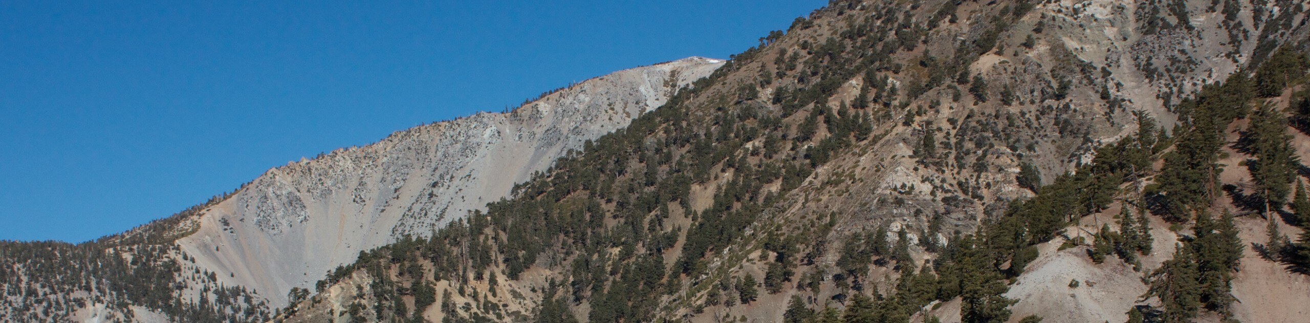
Mount San Antonio and Mount Baldy Notch Trail
The Mount San Antonio and Mount Baldy Notch Trail is a beautifully scenic, albeit physically demanding, adventure in the Angeles…
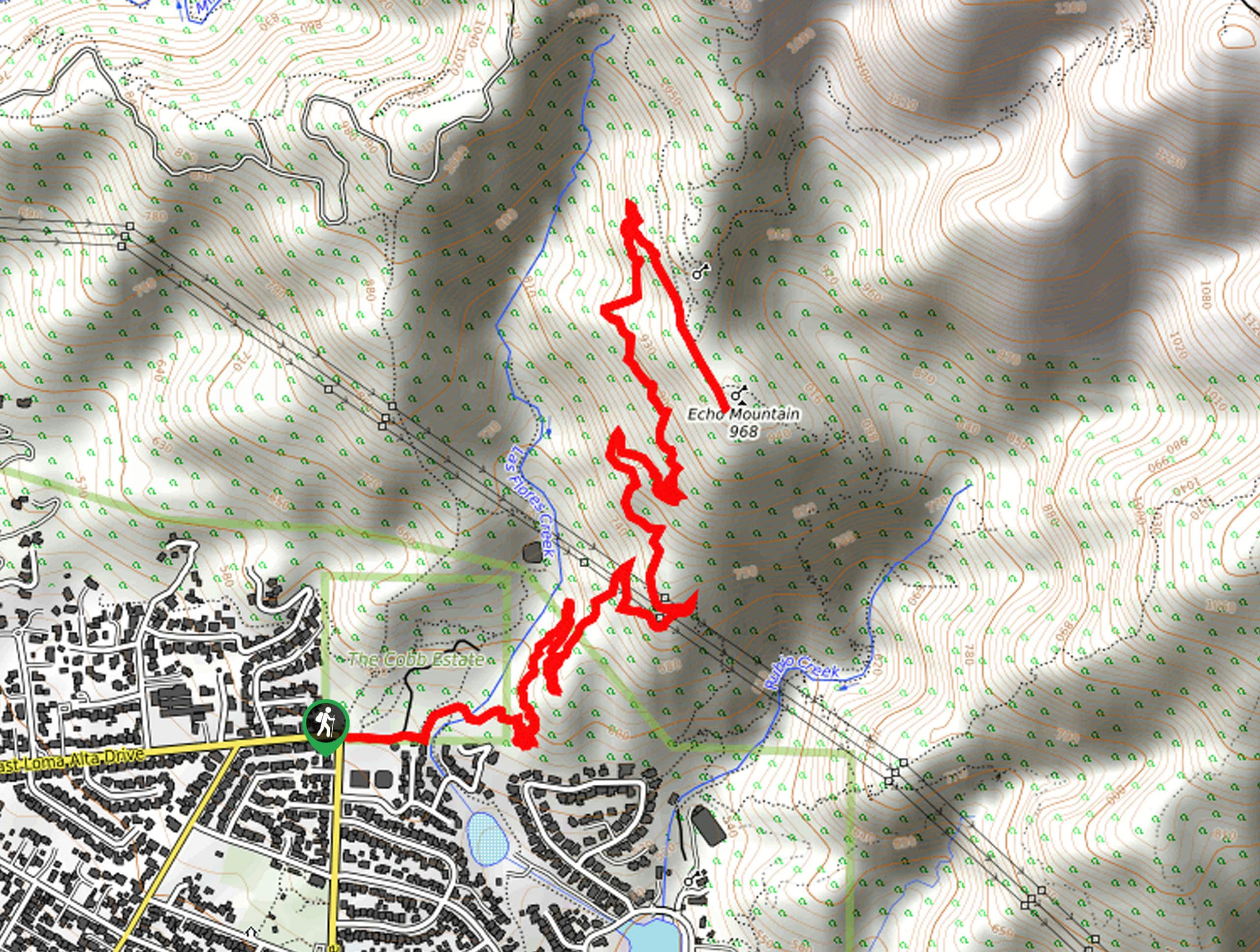
Echo Mountain via Sam Merrill Trail
The Echo Mountain via Sam Merrill Trail is a beautifully scenic adventure in the Angeles National Forest of Southern California…
Comments