Lands End Trail
View Photos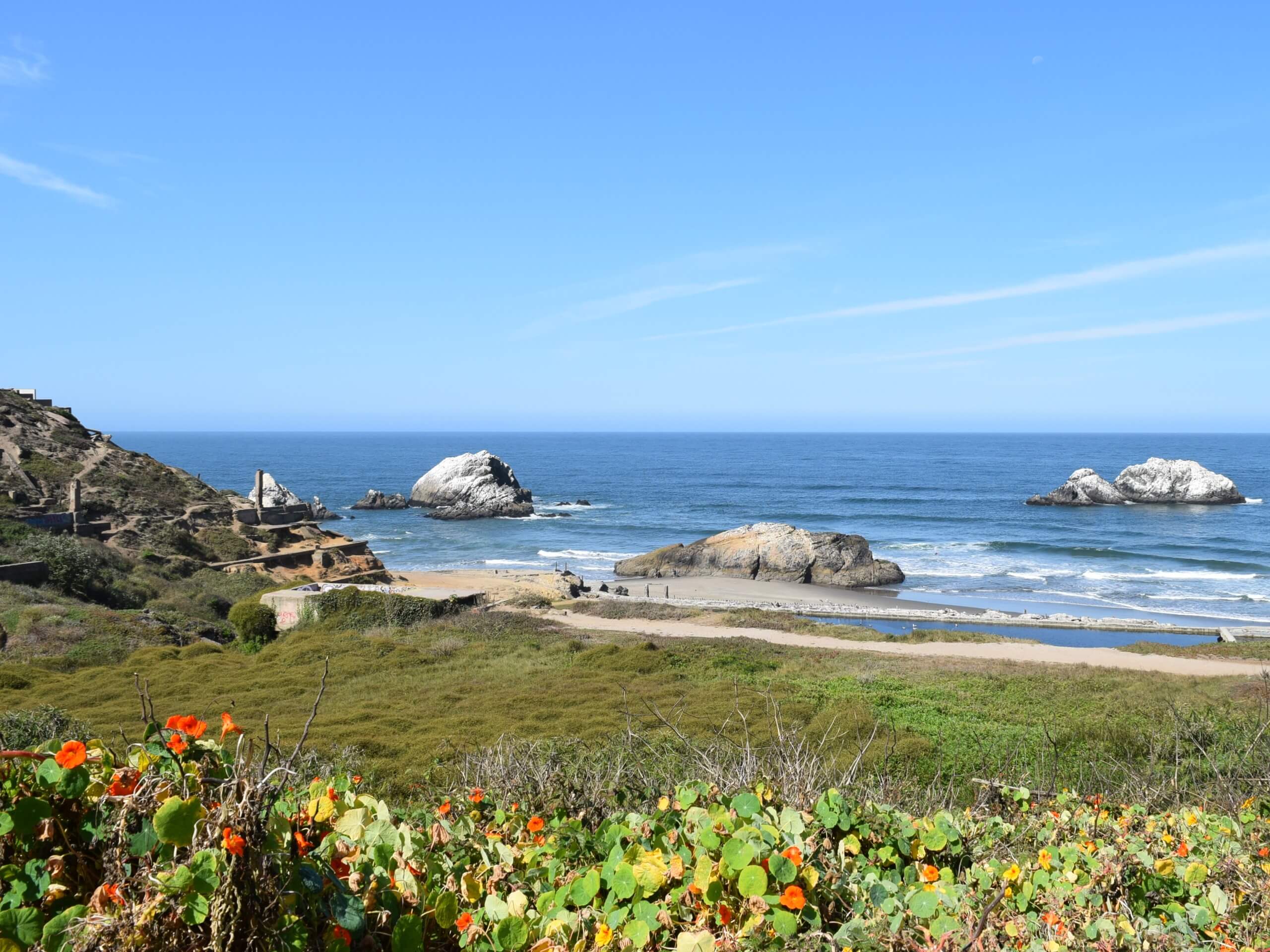
Lands End Trail
Difficulty Rating:
Those visiting or new to the Bay Area must explore the Lands End Trail. This wonderful route traces the dramatic coastline, offering glimpses of playful seals enjoying the water and mesmerizing views of the famous Golden Gate Bridge.
Getting there
Access this hike via the parking lot and trailhead off Point Lobos Avenue.

About
| Backcountry Campground | No |
| When to do | Year-round |
| Pets allowed | Yes - On Leash |
| Family friendly | Yes |
| Route Signage | Average |
| Crowd Levels | High |
| Route Type | Lollipop |
Lands End Trail
Elevation Graph
Weather
Lands End Trail Description
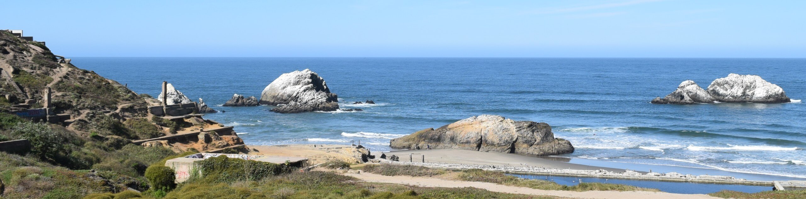
The Lands End Trail is an incredible loop trail that explores countless historic sites, including the Sutro Baths, and offers wonderful coastal views while exhibiting the area’s native flora and fauna. Get a workout in as you wander this epic trail on the wildest, windiest corner of the Golden City. Note this route is well-revered, so expect to share the trail. Additionally, the weather conditions here are varied and extreme, so dress in layers! Though not necessary, the trail GPS may prove useful.
Embark on your adventure along the Lands End Trail from the trailhead off Point Lobos Avenue. Setting out from here, track west down the staircase to the Sutro Baths. Explore the Baths, then merge onto the Sutro Baths Upper Trail, heading northeast. This route will ultimately deliver you to an intersection with the Coastal Trail; turn left here. This trail offers dumbfounding views of the Pacific and Marin Headlands. Be sure to turn left down the trail signposted for Lands End/Labyrinth, which will guide you down to an amazing overlook of the Golden Gate Bridge.
When you are ready, head back up the path to the Coastal Trail. At the following junction, turn right and wander along El Camino Del Mar, which will ultimately deliver you back to the trailhead and parking lot.
Similar hikes to the Lands End Trail hike
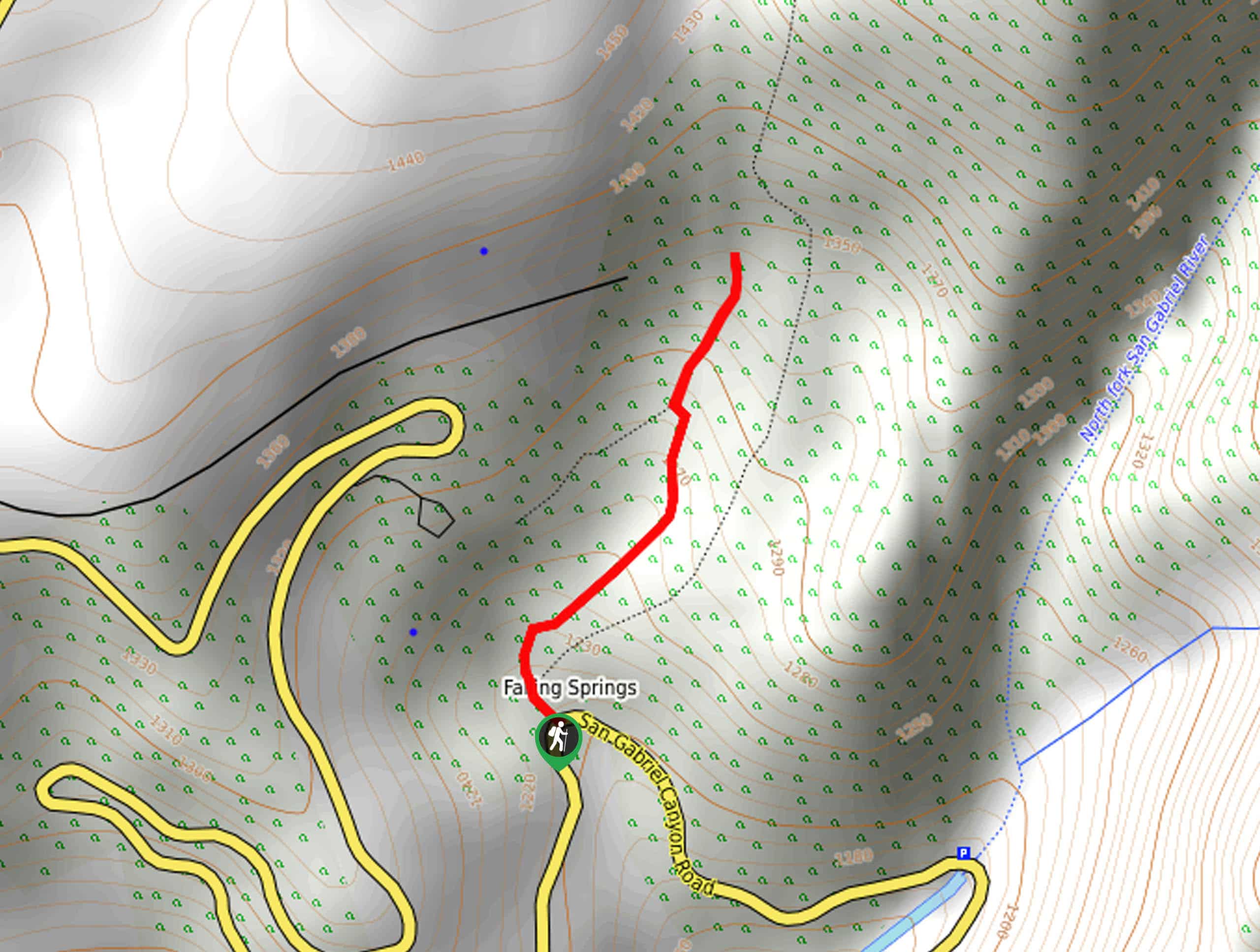
Bridge to Nowhere via East Fork Trail
The hike to the Bridge to Nowhere via East Fork Trail is a fun little adventure in the Angeles National…
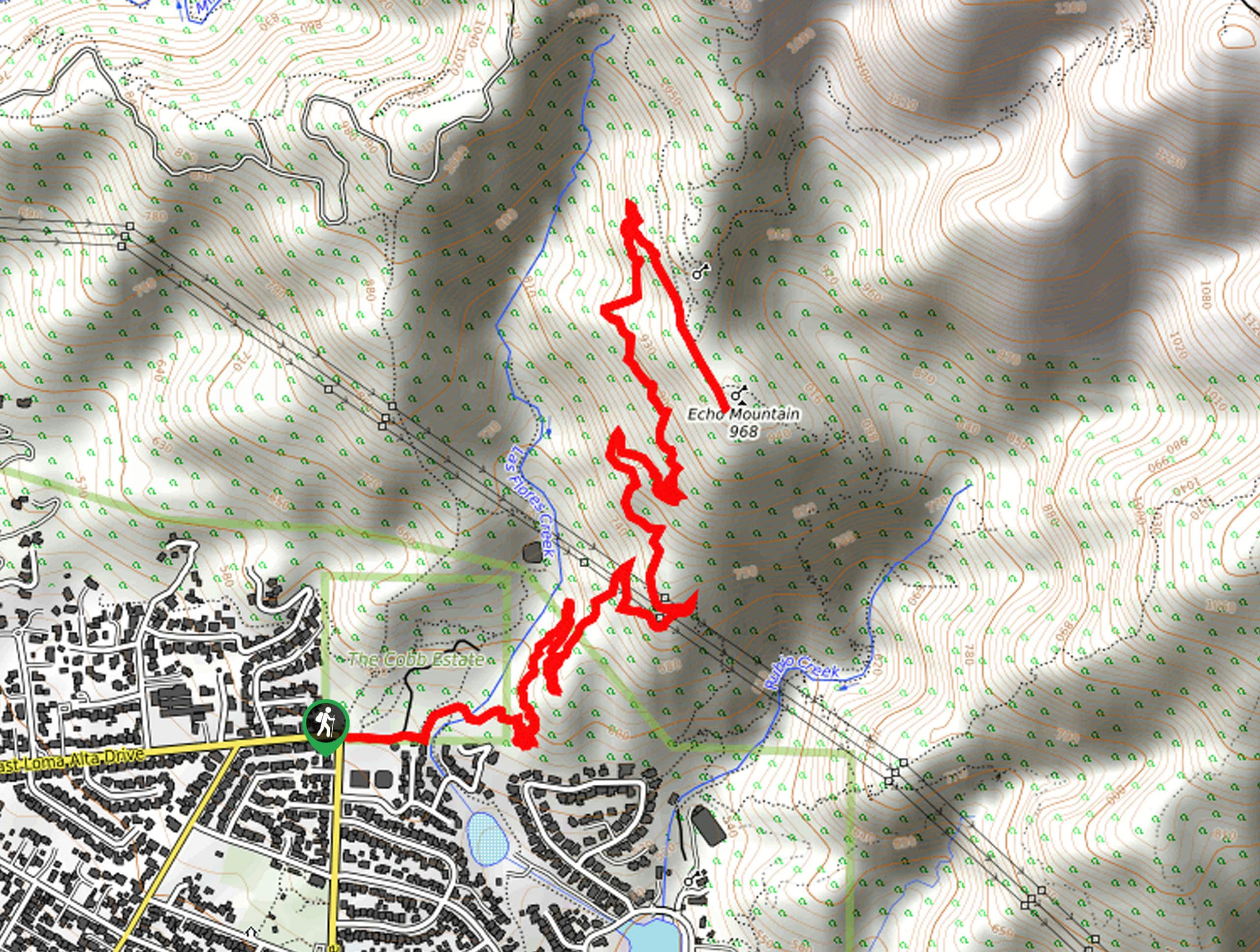
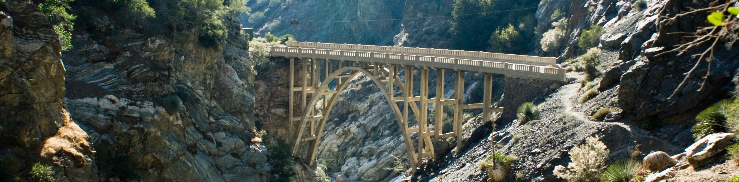
Echo Mountain via Sam Merrill Trail
The Echo Mountain via Sam Merrill Trail is a beautifully scenic adventure in the Angeles National Forest of Southern California…
Lewis Falls Trail
Hiking the Lewis Falls Trail is a spectacular, if fairly short, adventure in the Angeles National Forest that will take…
Comments