

Creeks to Peaks Trail
View PhotosCreeks to Peaks Trail
Difficulty Rating:
With a catchy name like the ‘Creeks to Peaks Trail’, how could you not be interested? This wonderful path wanders along Islais Creek up to the summit of the Twin Peaks, which boast awe-inspiring vistas of the San Francisco cityscape.
Getting there
The Creeks to Peaks Hike departs from the Islais Creek Trail off Elk Street.
About
| Backcountry Campground | No |
| When to do | Year-round |
| Pets allowed | Yes - On Leash |
| Family friendly | Older Children only |
| Route Signage | Average |
| Crowd Levels | High |
| Route Type | Lollipop |
Creeks to Peaks Trail
Elevation Graph
Weather
Creeks to Peaks Trail Description
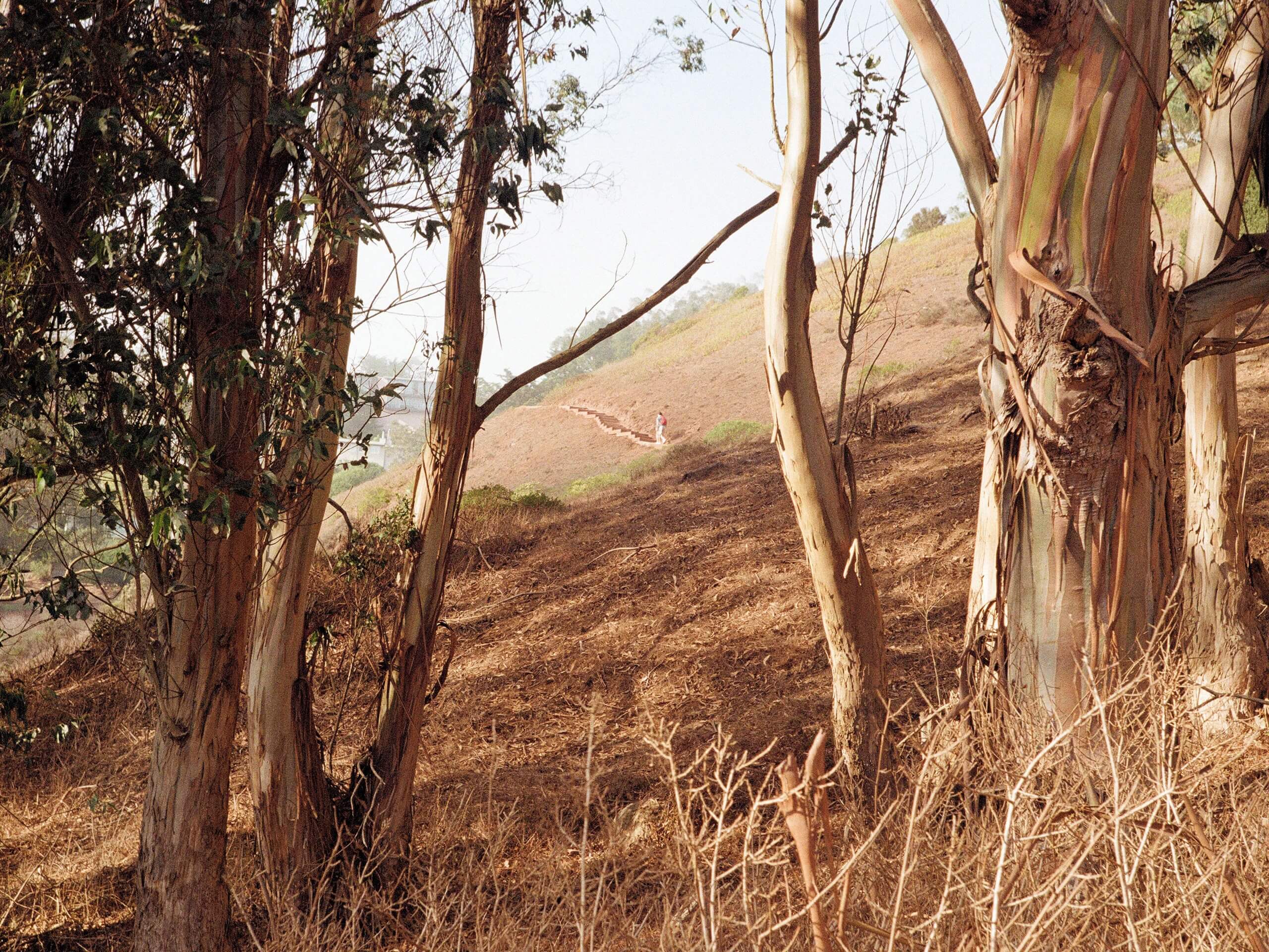
The Creeks to Peaks Trail is worth adding to your San Francisco adventure itinerary. This wonderful trek offers an array of scenery, including epic views of the cityscape, Alcatraz, the Golden Gate Bridge, and more! Be sure to charge your camera; the photo opportunities are numerous! Note this route is highly trafficked, notably up the Twin Peaks, so expect to share the trail. Though not necessary, the trail GPS may prove useful as areas of the trail are primitive and overgrown.
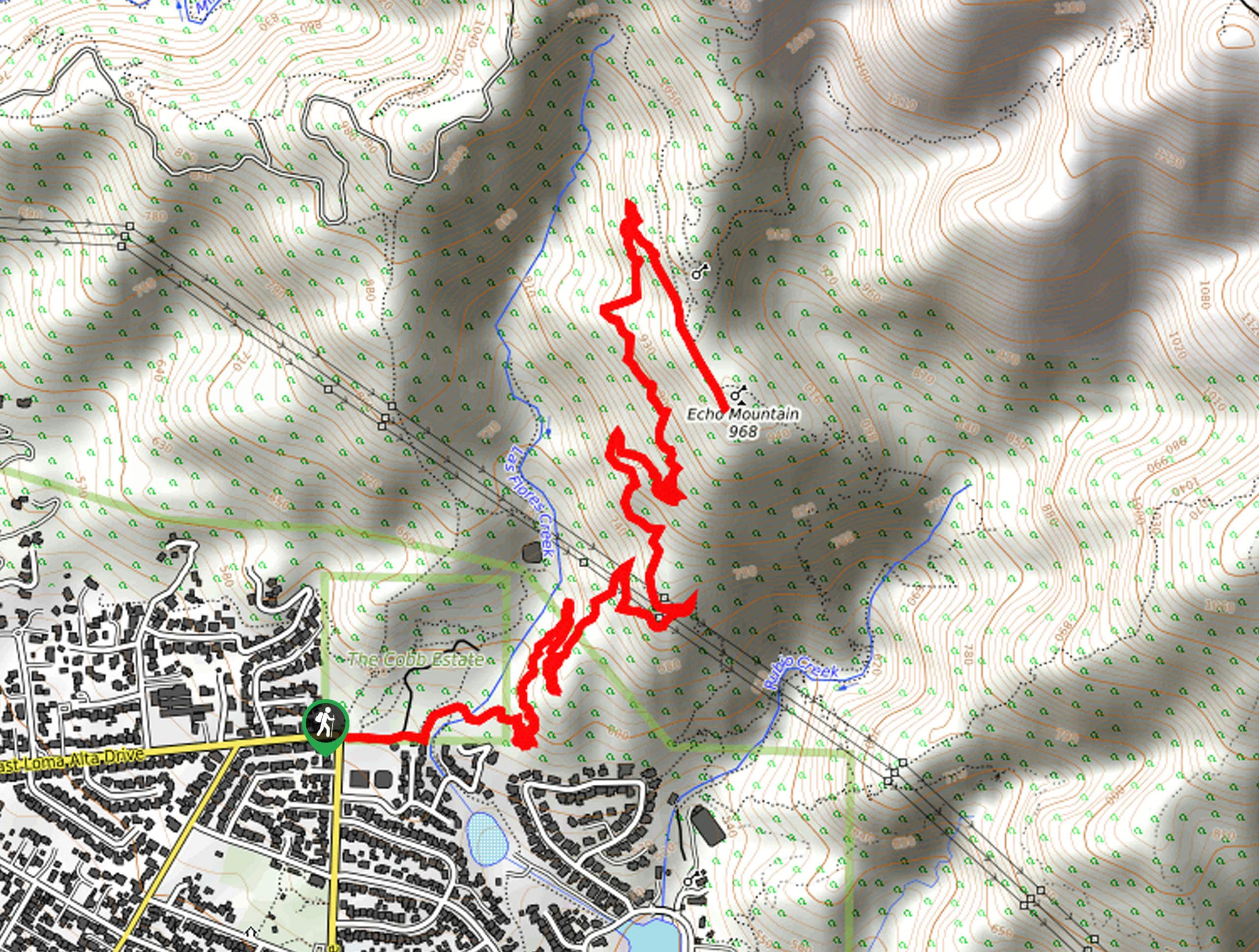
The Creeks to Peaks Trail departs from the Islais Creek Trailhead off Elk Street. Setting out from here, the Islais Creek Trail northwardly along the gurgling creek before intersecting with Portola Drive. From here, connect with the trail that runs parallel to Twin Peaks Blvd. This route will gradually climb towards the peak, where you will merge onto the summit trails, navigating the steps up to the peaks. Revel in the beauty of the cityscape and expansive views of the Bay.
After summiting the peaks, loop around the Christmas Tree Point Trail and follow the path along the eastern slope before once again summiting the first Twin Peak. Beyond this point, retrace your footing along the paths back to Islais Creek. Here you will encounter an intersection, keep left and follow the Gum Tree Girls Trail back to the trailhead.
Similar hikes to the Creeks to Peaks Trail hike

Bridge to Nowhere via East Fork Trail
The hike to the Bridge to Nowhere via East Fork Trail is a fun little adventure in the Angeles National…

Mount San Antonio and Mount Baldy Notch Trail
The Mount San Antonio and Mount Baldy Notch Trail is a beautifully scenic, albeit physically demanding, adventure in the Angeles…

Echo Mountain via Sam Merrill Trail
The Echo Mountain via Sam Merrill Trail is a beautifully scenic adventure in the Angeles National Forest of Southern California…


Comments