Coyote Peak and Ridge Trail Loop
View Photos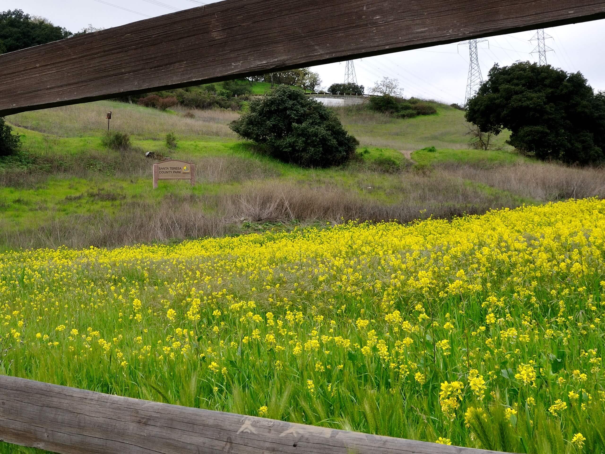
Coyote Peak and Ridge Trail Loop
Difficulty Rating:
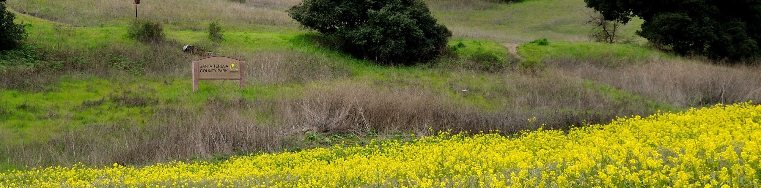
The Coyote Peak and Ridge Trail Loop is a wonderful day hike near San José that can be enjoyed by hikers and bikers of all skill levels and ages. Wander through flowering meadows to an epic overlook of Silicon Valley.
Getting there
The Coyote Peak and Ridge Trail Loop is accessed via the Hidden Springs Trailhead off Bernal Road.

About
| Backcountry Campground | No |
| When to do | Year-round |
| Pets allowed | Yes - On Leash |
| Family friendly | Yes |
| Route Signage | Average |
| Crowd Levels | High |
| Route Type | Circuit |
Coyote Peak and Ridge Trail Loop
Elevation Graph
Weather
Coyote Peak and Ridge Trail Loop Description
The Coyote Peak and Ridge Trail Loop is a wonderful day hike that the whole family can enjoy. Wander through the lush wilderness abundant with a diversity of flora and fauna up to the rewarding overlook. Shared with bikers, it is important you come prepared to share the trail—and be mindful of passers-by. Though this route boasts lovely scenery year-round, it is best explored in the winter and spring—when rain clears, the skies of smog and the wildflowers blossom.
When you are all set, begin your hike along the Coyote Peak and Ridge Trail Loop from the Hidden Springs Trailhead. Setting out from here, the Hidden Springs Trailhead wanders eastwardly through the verdant meadowlands to an intersection. Here, turn right, and you will be diverted onto the Coyote Peak Trail, which will climb up to the summit. Walk around the loop at the peak, reveling in the views of the encompassing mountain ranges and the southern expanse of Silicon Valley. When you are through admiring the scenery, track the southernmost Coyote Peak Trail to the following junction.
At this point, you will turn right onto the Rocky Ridge Trail, which will guide you down the mountainside and over a footbridge atop a gurgling creek. At the route’s end, merge onto the Mine Trail, which will deliver you back to the trailhead.
Similar hikes to the Coyote Peak and Ridge Trail Loop hike
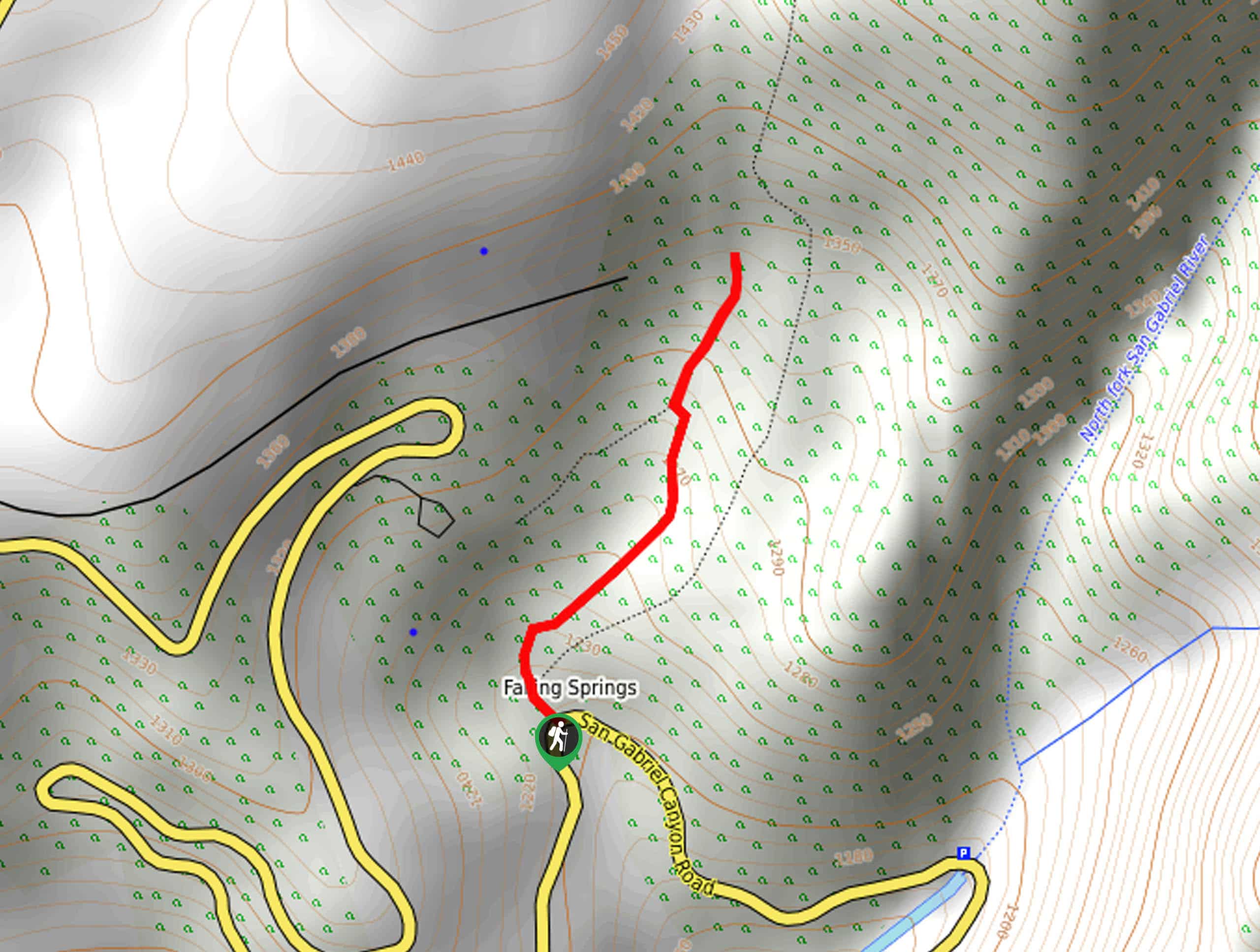
Bridge to Nowhere via East Fork Trail
The hike to the Bridge to Nowhere via East Fork Trail is a fun little adventure in the Angeles National…
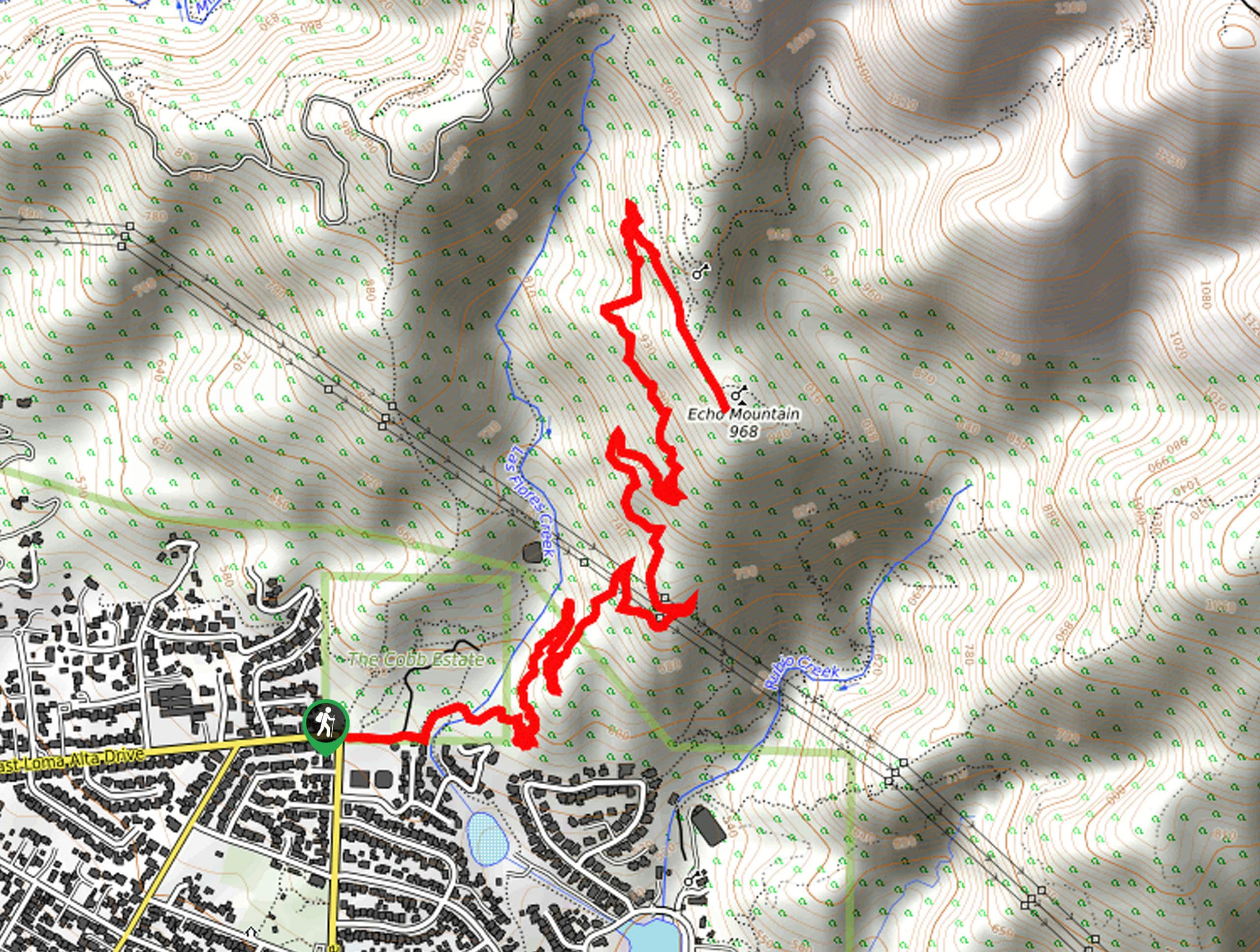
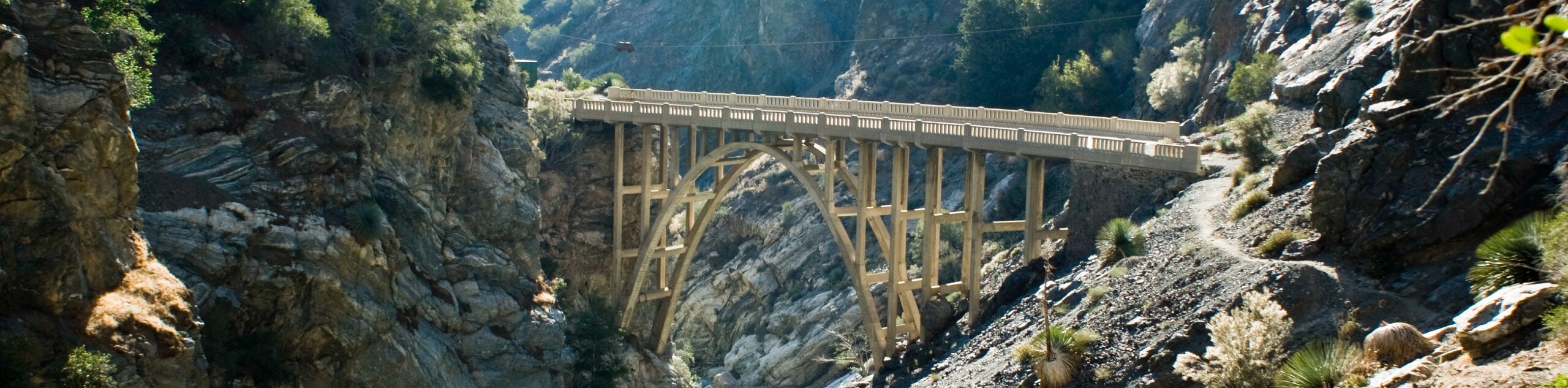
Echo Mountain via Sam Merrill Trail
The Echo Mountain via Sam Merrill Trail is a beautifully scenic adventure in the Angeles National Forest of Southern California…
Lewis Falls Trail
Hiking the Lewis Falls Trail is a spectacular, if fairly short, adventure in the Angeles National Forest that will take…
Comments